
漢德百科全書 | 汉德百科全书
 Ontario-ON


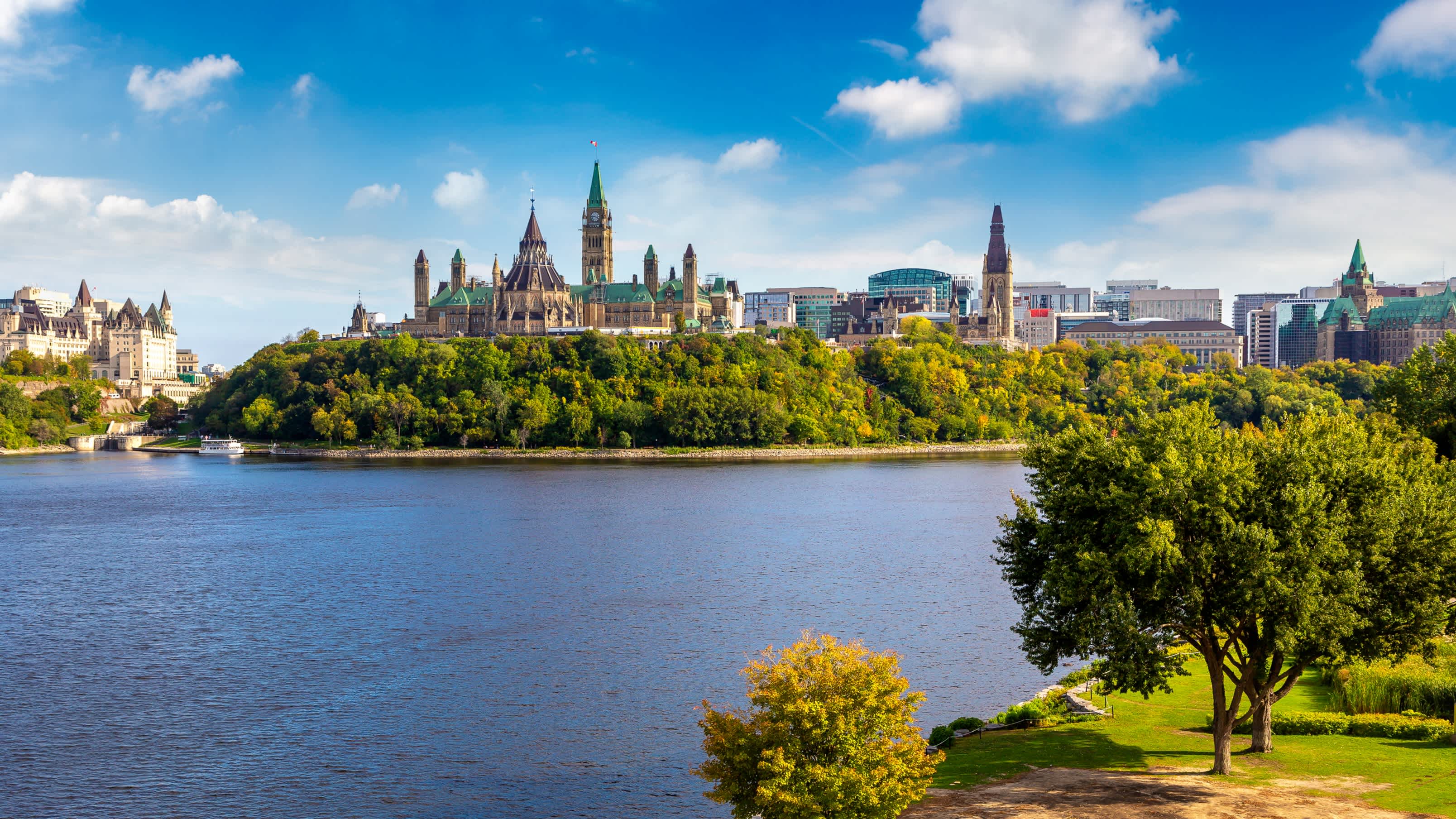

Ottawa (englisch [ˈɒtəwə], französisch [ɔtaˈwa]) ist die Bundeshauptstadt Kanadas. Sie liegt im östlichen Teil der Provinz Ontario am Fluss Ottawa, unmittelbar an der Grenze zur Provinz Québec. Ottawa bedeutet „Händler“ in der Sprache der Algonkin, eines Volkes, das zur Zeit der Besiedlung am Fluss Handel trieb. Am anderen Ufer des Flusses liegt die Zwillingsstadt Gatineau. Ottawa selbst zählt 883.391 Einwohner und ist damit die sechstgrößte Stadt Kanadas, der Großraum Ottawa-Gatineau ist mit 1.236.324 Einwohnern (Volkszählung 2011) der viertgrößte Ballungsraum Kanadas.
Die Bevölkerung ist zu 63 % englisch- und zu 15 % französischsprachig. Ottawa ist in der Region die einzige offiziell zweisprachige Stadt. In der Stadt selbst überwiegt die englische Sprache, im Gegensatz zu dem auf der anderen Seite des Ottawa-Flusses gelegenen Gatineau, in dem die französische Sprache überwiegt. Durch eine große Einwandererzahl sind auch zahlreiche weitere Sprachen geläufig.
Die Wirtschaft der Hauptstadt wird hauptsächlich von zwei Sektoren getragen: zum einen durch die Arbeitsplätze der Bundesbehörden und der Bundesregierung, zum anderen von denen der Hochtechnologieindustrie. Ottawa belegt beim Bruttoinlandsprodukt und dem Nettoeinkommen der Angestellten vordere Plätze im landesweiten Vergleich und belegt den ersten Platz bei der Pro-Kopf-Zahl von Einwohnern mit akademischem Grad.
渥太华(Ottawa)是加拿大的首都,全国第四大城市,面积2,779平方公里,位于安大略省东南部,渥太华河南岸,多伦多以东400公里,蒙特利尔以西190公里。在2011年人口统计中,渥太华城市有883,391人,市区有1,236,324人,使其成为人口普查都会区域(CMA)第四的城市。
在1826年9月26日以“Bytown”之名建立,1850年1月1日合并为一个城镇,[8]并于1855年1月1日以“渥太华”之名合并取代。并不断发展成为加拿大的政治和工业技术中心。城市的原有边界由后来经过多次的小规模兼并而扩大的。“渥太华”这个名称是来自亚冈昆语(Algonquin language)adawe,意思为“贸易”。[9]渥太华常被华人简称为渥京。
加拿大与美国、澳大利亚等国不同,没有将首都城市设为联邦直辖的行政区,但是渥太华的土地管理和城市规划是由国家首都委员会(National Capital Commission)负责。
渥太华最初为爱尔兰和法国的基督教乡镇,现在已成为一个具有多元文化、高水准生活水平,低失业率的大城市。
艾蒂安·布鲁尔(Étienne Brûlé)是第一位来到渥太华河的欧洲人,并于1610年去五大湖的途中经过了渥太华。[10]三年后,萨缪尔·德·尚普兰描述了在这个地区的瀑布和见到的阿尔衮琴人。阿尔衮琴人以使用渥太华河一词达百年了。[10]渥太华原是属于亚冈昆部落(Algonquian peoples)的加拿大原住民的家园。亚冈昆人将渥太华河称作“Kichi Sibi”或:Kichissippi“,意思是“大河”。[11]这些早期的探险家来到之后,许多传教士也陆续来到渥太华。[12][13][14]
1800年3月7日,企业家菲利门·怀特(Philemon Wright)在渥太华河北侧,位于渥太华对面的魁北克加蒂诺赫尔区域建立了第一个欧洲人定居点。[15][16]他与5名农民和25位劳工,[11]着手开始在此殖民地建立一个名叫“怀特城镇”(Wrightsville)的农业社区。[17]怀特发现这条河是介于渥太华河谷(Ottawa Valley)与蒙特利尔之间的绝佳木材运输通道,木材加工和贸易使渥太华地区很快繁荣起来。1812年战争之后,大量军人家庭在此定居,政府亦致力推动贫困的爱尔兰人向渥太华移民,在此后的几十年爱尔兰移民蜂拥而至。同时,法裔加拿大人也从魁北克南下,大部分人参与丽都运河修建工程或从事木材贸易。
1832年,约翰·拜(John By)上校主导的丽都运河工程竣工,将渥太华与金斯敦和安大略湖连为一体,使之成为地区重镇。运河西部是国会山所在地,称为“上城”;而东部介于运河与丽都河之间的地区称为“下城”。嘈杂拥挤的“下城”容易爆发传染病,著名的有1832年的霍乱和1847年的红热病。
1857年12月31日,维多利亚女王选择渥太华为加拿大省的首都(包括现在的安大略和魁北克)。虽然现代的渥太华是加拿大第四大城市,但在当年,她仅仅是一个木材贸易通道中的内陆小镇,并且距离殖民地的几个主要城市(东部的蒙特利尔和魁北克城;西部的多伦多和金斯敦)路途遥远。女王的顾问们建议渥太华成为首都之选有两大重要理由:首先,渥太华是唯一具有一定规模、并且位于加拿大省东西部边界地(现安大略与魁北克边界)的城市,定都于此是平衡两个殖民地及其英裔、法裔居民的聪明妥协之举;其次,1812年战争表明,其他主要城市容易受到美国人的攻击,因为过于靠近美加边界。渥太华位于腹地,易于防守,渥太华河及丽都运河使之与加拿大东西部之间交通极为便利。另外两个方面的考虑是:渥太华正好介于多伦多和魁北克城之间(距离这两个城市都是500公里),并且城市规模较小,因而不容易受到大规模的暴徒袭击,因为政治动机,以往的首都城市都受到过这种攻击。2001年,渥太华与郊区和周边地区小城镇合并,成为规模较大的地区都市。
オタワ(英語: フランス語: Ottawa 英語発音: [ˈɒtəwə]  聞く[ヘルプ/ファイル])は、カナダの首都。オンタリオ州東部に位置する地方行政区の一つでもある。オタワ川を挟んで隣接するガティノーを含め連邦政府の行政機関が集中する行政都市である。
カナダにはアメリカの首都ワシントンD.C.とは違い、連邦政府の特別地区(Capital District)が存在せず、オタワはオンタリオ州内の一都市となっている。行政レベルはトロントなどと同じ単一層自治体に位置づけられる。
オタワはケベック州の都市ガティノーを含めた周辺都市とでオタワ首都圏(NCR、National Capital Region)を形成している。
2006年の市域人口はおよそ81万人でカナダ国内ではトロント・モントリオール・カルガリーに次ぐ4番目。広域圏の人口は113万人を数えるが、カナダの中ではトロント等のような大都会というわけではない。
1826年~1831年に軍事的目的でオタワ川とオンタリオ湖を結ぶリドー運河が建設されたが、この時測量を担当した軍人の名にちなんでバイタウン(Bytown)の小村が生まれ、これが今日のオタワの母体となった。
1854年に市街再編、川の名からオタワに改名された。当時首都の決定を巡ってケベック、モントリオール、キングストン、トロントの4都市が激しく競い合ったが、1858年、ビクトリア女王の独断で英仏両勢力のほぼ境界に位置するオタワ(当時人口は約2万人)が選定された。
第二次世界大戦中、オランダのユリアナ王女はカナダへ亡命し、オタワに身をよせていた。ユリアナ王女はオタワ滞在中に出産を迎えたが、カナダは出生地主義であり、カナダ領内で生まれた子供には自動的にカナダ国籍が与えられるため、二重国籍を認めていないオランダの法律下では生まれた子供がオランダ国籍を喪失する恐れがあった。そのため、カナダ政府は病室を一時的にカナダ領から外す特別措置をとった。この時に生まれたのが、ユリアナ王女の三女(ベアトリクス前女王の妹)マルフリート王女である。オランダ王室はこの恩義の返礼と感謝の意を込めて、毎年チューリップの球根を贈っている。オランダとの友好をも意味するチューリップが毎年5月にチューリップ・フェスティバルの会場いっぱいに咲くことから、オタワは「チューリップ・シティ」とも呼ばれる。その数は10万本以上で世界最大規模のチューリップ・フェスティバルとなっている。同会場のインターナショナルパビリオンには、日本のパビリオンもあり、地元の日系人関係者が日本パビリオンを主催している。
Ottawa (/ˈɒtəwə/ ( listen), /-wɑː/; French pronunciation: [ɔtawa]) is the capital city of Canada. It stands on the south bank of the Ottawa River in the eastern portion of southern Ontario. Ottawa borders Gatineau, Quebec; the two form the core of the Ottawa–Gatineau census metropolitan area (CMA) and the National Capital Region (NCR).[12] As of 2016, Ottawa had a city population of 964,743 and a metropolitan population of 1,323,783 making it the fourth-largest city and the fifth-largest CMA in Canada.
Founded in 1826 as Bytown, and incorporated as Ottawa in 1855, the city has evolved into the political centre of Canada. Its original boundaries were expanded through numerous annexations and were ultimately replaced by a new city incorporation and amalgamation in 2001 which significantly increased its land area. The city name "Ottawa" was chosen in reference to the Ottawa River, the name of which is derived from the Algonquin Odawa, meaning "to trade".[13]
Ottawa has the most educated population among Canadian cities[14] and is home to a number of post-secondary, research, and cultural institutions, including the National Arts Centre, the National Gallery, and numerous national museums. Ottawa has the highest standard of living in the nation and low unemployment.
Ottawa2 (prononciation en français : /ɔ.ta.wa/, en anglais /ˈɒ.tə.wə/ ou /ˈɒ.tə.wɑː/) est la capitale du Canada. La ville est située dans l'est de l'Ontario, sur la rive sud de la rivière des Outaouais, face à la ville québécoise de Gatineau.
La ville est fondée en 1826 lors de la construction du canal Rideau3 et porte d'abord le nom de Bytown. Le 31 décembre 1857, l'emplacement est choisi pour accueillir la nouvelle capitale de la province du Canada. Devenue capitale de la Confédération canadienne, Ottawa accueille aujourd'hui les institutions fédérales du pays, tels que le Parlement et les résidences du gouverneur général et du Premier ministre.
En 2016, Ottawa comptait 934 243 habitants, ce qui en fait la quatrième ville la plus peuplée du Canada. Elle appartient à la région de la capitale nationale4 qui abrite 1,2 million d'habitants.
Ottawa compte un grand nombre de francophones5. Dans la capitale canadienne, 63,7 % de ses habitants déclarent avoir l'anglais comme langue maternelle et 15 % le français avec 34,1 % des habitants parlant les deux langues en 20116.
Ottawa (/ˈɔttawa/[1]; in inglese /ˈɑːtəwə/, in francese: /ɔtawa/) è la capitale federale del Canada, situata sulla sponda meridionale del fiume Ottawa, nell'omonima valle nella provincia dell'Ontario, al confine orientale con la provincia del Québec. Per popolazione è la quarta città nazionale dopo Toronto, Montréal e Calgary, se si esclude la popolazione della "Grande Vancouver", ed è anche quarta come area metropolitana, insieme alla città di Gatineau in Québec, situata sulla sponda settentrionale del fiume Ottawa. La città è il risultato della fusione nel 2000 della vecchia città di Ottawa con dieci municipalità limitrofe. Nel 2006 Ottawa contava 812.129 abitanti[2][3] (1.146.790 nell'area metropolitana cittadina).
In Canada non esiste un distretto federale della capitale; Ottawa è pertanto solo una municipalità all'interno della sua provincia. Ma, sebbene non rappresenti un separato distretto amministrativo, è parte della National Capital Region, che include al suo interno oltre alla città anche la municipalità di Gatineau. Ottawa è gestita da un consiglio cittadino formato da 24 membri: 23 rappresentanti delle circoscrizioni più un sindaco. L'attuale sindaco di Ottawa è Jim Watson, che è succeduto a Larry O'Brien il 25 ottobre 2010.
Ottawa è distante 400 km da Toronto e 200 km da Montréal[4].
La città basa la sua economia sulle attività dei ministeri, del governo federale e del Parlamento del Canada, ma un consistente segmento della forza lavoro è occupata nel settore dell'alta tecnologia e del turismo.
Ottawa3 (ing. [ˈɒtəwə], fr. [ɔtaˈwa]) es la capital de Canadá y la cuarta ciudad más grande del país. Se ubica en el extremo sureste de la provincia de Ontario, a orillas del río Ottawa, que conforma la frontera entre las provincias de Ontario y Quebec. Se localiza aproximadamente a 400 kilómetros al este de Toronto y 200 al oeste de Montreal.4
Según el censo del año 2011, la ciudad tiene 1.083.391 habitantes, aunque sumando la población de los suburbios la cifra se eleva a 2.148.785.1 Aunque en ella predomina la población anglófona, hay una significativa población francófona (32,6%). Además, todos los servicios municipales de la ciudad son bilingües (inglés y francés).5
El 31 de diciembre de 1857 la ciudad fue escogida por la Reina Victoria del Reino Unido para ser la capital de Canadá,6 por ser un territorio neutral a la vista de las comunidades de habla inglesa y francesa. Asimismo, tiene una distancia importante con la frontera de los Estados Unidos de América, que en ese entonces pensaba en invadir las colonias británicas al norte.
Cabe destacar que pese a que Canadá es un Estado federal, su división administrativa no posee ningún distrito federal que albergue a la Capital Federal, a semejanza de otros países como Alemania (Berlín), Brasil (Brasilia), Austria (Viena), Bélgica (Bruselas), Argentina (Capital Federal), Estados Unidos (Distrito de Columbia), México (Ciudad de México) o Australia (Territorio Capital)— sino que Ottawa pertenece a la provincia de Ontario como una municipalidad erigida en la Región de la Capital Nacional, que contiene a la región de Ottawa. Su área metropolitana incluye no sólo los pueblos cercanos de Ontario, sino también la ciudad de Gatineau y la región de Outaouais que se encuentran en el lado quebequés del río Ottawa.
A pesar de la falta de distrito federal, existe la Comisión de la Capital Nacional (en inglés National Capital Commission, en francés Commission de la capitale nationale), un departamento del gobierno federal cuya responsabilidad es embellecer la Región de la Capital Nacional y mantener sus parques y atracciones históricas.7


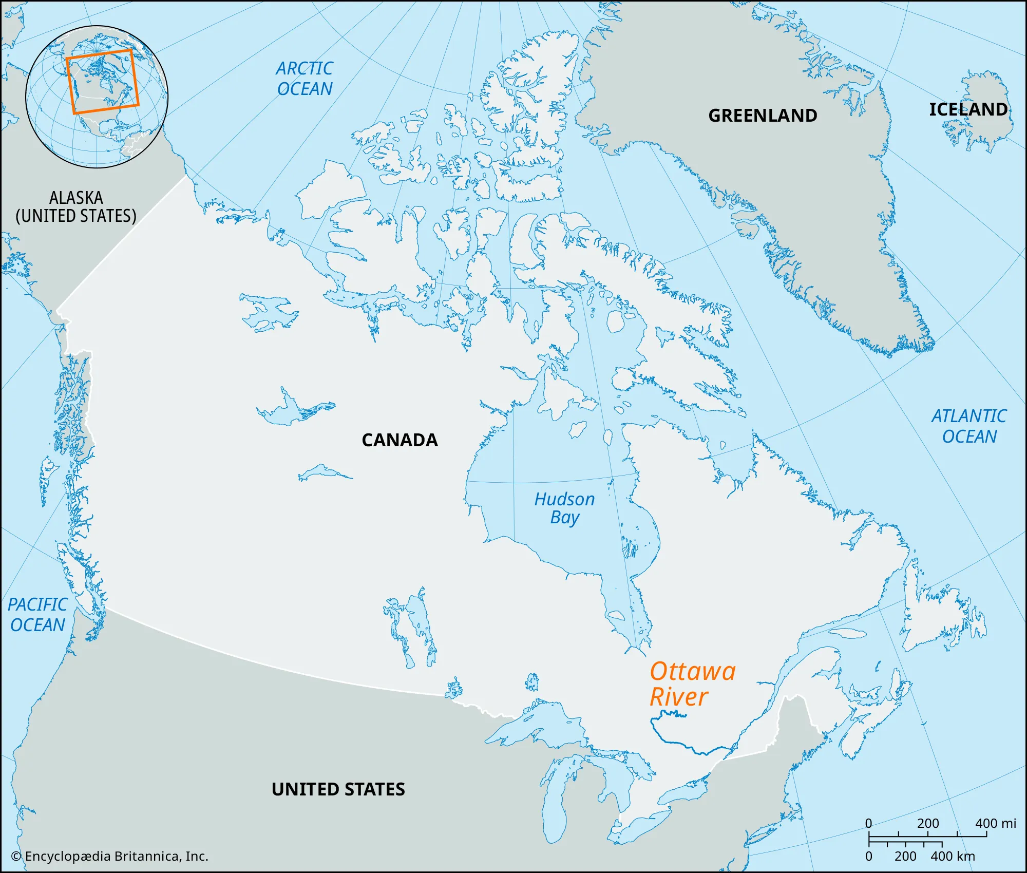
渥太华河(英語:Ottawa River,法語:Rivière des Outaouais)是加拿大的主要河流之一,用于界定安大略和魁北克省。她发源于魁北克西部Capimitchigama湖,过Timiskaming湖后到达安大略边界,向东南方向流向首都渥太华,过修地埃瀑布后吸纳支流丽都河和嘎地诺河。过国会山庄后水流湍急。到蒙特利尔后归入圣劳伦斯河,并入圣路易湖。渥太华河全长1,271公里,流域面積146,000平方公里。
Der Ottawa River (englisch) oder Rivière des Outaouais (französisch), im Deutschen auch als Ottawa oder Ottawa-Fluss bezeichnet, ist ein linker Nebenfluss des Sankt-Lorenz-Stroms in Kanada. Sowohl der englische als auch der französische Flussname gelten offiziell in den beiden Provinzen Ontario und Québec, die der Fluss durchfließt bzw. an welche er grenzt.
Auf dem Großteil seiner Länge bildet er die Grenze zwischen den Provinzen Ontario und Québec. Der Fluss ist 1271 km lang, sein Einzugsgebiet beträgt ca. 146.000 km². Er entspringt in den Laurentinischen Bergen und mündet bei Montréal in den Sankt-Lorenz-Strom.
 Nobel prize
 Nobel Prize in Literature
 Nobel prize
 Nobel Prize in Physiology or Medicine
 Nobel prize
 University/Institute

 Ontario-ON
 Universities in Canada



Der See liegt auf durchschnittlich 174 m Höhe, seine Fläche beträgt 25.667 Quadratkilometer. Er ist 388 km lang und bis zu 92 km breit, die Küstenlinie beträgt 1402 km (inklusive Inseln). Der Eriesee ist der flachste der Großen Seen mit einer durchschnittlichen Wassertiefe von 19 m und einer Maximaltiefe von 64 m. Aufgrund seiner geringen Tiefe weist er auch die höchste Wassertemperatur auf. Das Einzugsgebiet umfasst eine Fläche von rund 58.790 km².[1] Der kanadische Seeanteil beträgt 12.722 km² und der US-amerikanische Seeanteil beträgt 12.945 km².
Hauptzufluss des Eriesees ist der vom Huronsee und Lake St. Clair her kommende Detroit River. Weitere bedeutende Zuflüsse sind Grand River (Eriesee, Ohio), Grand River (Eriesee, Ontario), Huron River (Eriesee, Michigan), Huron River (Ohio), Maumee River, Sandusky River und Cuyahoga River. Über den Niagara River mit den Niagarafällen ist er mit dem Ontariosee verbunden. Eine Schifffahrtsverbindung besteht über den Wellandkanal, der Teil des Sankt-Lorenz-Seewegs ist. Der Eriekanal war eine historische Schifffahrtsverbindung zum Hudson River, die zunächst im 19. Jahrhundert von großer wirtschaftlicher Bedeutung war und deren kommerzielle Nutzung dann aber in der zweiten Hälfte des 20. Jahrhunderts aufgegeben wurde.
Der Eriesee bildet einen Teil der Grenze zwischen Kanada und den Vereinigten Staaten. Im Norden liegt die kanadische Provinz Ontario, im Süden die US-Bundesstaaten Ohio, Pennsylvania und New York. Am Seeufer liegen die Städte Buffalo, Erie, Toledo und Cleveland. Im See liegen insgesamt 27 Inseln, von denen neun zu Ontario und die übrigen zu Ohio gehören. Middle Island ist der südlichste Punkt Kanadas, während der auf einer Halbinsel gelegene Point-Pelee-Nationalpark der südlichste Punkt des kanadischen Festlandes ist. Mit 42 km² Fläche ist die auf kanadischer Seite gelegene Pelee Island die größte Insel des Eriesees.
伊利湖(英語:Lake Erie)是北美洲五大湖之一,也是世界第十三大湖。伊利湖的名字来源于原在南岸定居的印地安伊利部落。 伊利湖的面积有24,000平方公里,平均深度19米,蓄水量483立方公里。底特律河(Detroit River)将休伦湖水导向这里,而尼亚加拉河(Niagara River)经尼亚加拉瀑布将湖水引入安大略湖。湖的南岸是美国的俄亥俄州、宾夕法尼亚州和纽约州,西岸是密歇根州,北岸是加拿大的安大略省。
エリー湖(エリーこ、英: Lake Erie [ˈɪəri]、仏: Lac Érié)は、北アメリカにある五大湖のうちの1つの湖。世界では13番目の面積をもつ淡水湖。英語の発音は「イャリー」に近い。25,821km2の面積を持ち、458km3の水を湛えている、平均の水深は18mと浅く、2.6年で水が循環する。
エリー湖に流れ込む主な川は、ヒューロン湖とセントクレア湖を源泉とするデトロイト川であり、流れ出た水はナイアガラ川とナイアガラの滝を経て、オンタリオ湖に流れ込む。エリー湖に流入、流出する他の主な川は、グランド川(Grand River)、レイスン川(River Raisin)、マウミー川(Maumee River)、カヤホガ川(Cuyahoga River)である。
Lake Erie is the fourth-largest lake (by surface area) of the five Great Lakes in North America, and the eleventh-largest globally if measured in terms of surface area.[6][10] It is the southernmost, shallowest, and smallest by volume of the Great Lakes[11][12] and therefore also has the shortest average water residence time. At its deepest point Lake Erie is 210 feet (64 metres) deep.
Situated on the International Boundary between Canada and the United States, Lake Erie's northern shore is the Canadian province of Ontario, specifically the Ontario Peninsula, with the U.S. states of Michigan, Ohio, Pennsylvania, and New York on its western, southern, and eastern shores. These jurisdictions divide the surface area of the lake with water boundaries.
The lake was named by the Erie people, a Native American people who lived along its southern shore. The tribal name "erie" is a shortened form of the Iroquoian word erielhonan, meaning long tail.[13]
Situated below Lake Huron, Erie's primary inlet is the Detroit River. The main natural outflow from the lake is via the Niagara River, which provides hydroelectric power to Canada and the U.S. as it spins huge turbines near Niagara Falls at Lewiston, New York and Queenston, Ontario.[14] Some outflow occurs via the Welland Canal, part of the St. Lawrence Seaway, which diverts water for ship passages from Port Colborne, Ontario on Lake Erie, to St. Catharines on Lake Ontario, an elevation difference of 326 ft (99 m). Lake Erie's environmental health has been an ongoing concern for decades, with issues such as overfishing, pollution, algae blooms, and eutrophication generating headlines.[15][16][17]
Le lac Érié est l'un des cinq Grands Lacs d'Amérique du Nord. Il est bordé à l'est par les États américains de l'Ohio, de Pennsylvanie, de New York au sud, du Michigan à l'ouest et de la province canadienne de l'Ontario au nord.
Le lac Érié est une dépression creusée par le passage des glaciers8, et il a pris sa forme actuelle il y a moins de 4 000 ans, ce qui est très récent en termes géologiques. Auparavant, le site avait connu une histoire géologique complexe : il y a plus de deux millions d'années, un fleuve s’écoulant vers l’est et préexistant aux glaciations du Pléistocène avait dessiné une large plaine alluviale. Cette vallée a été comblée au passage des premiers grands glaciers, qui ont aussi élargi et creusé la dépression, réceptacle qui est devenu un lac. Ces glaciers ont arraché davantage de sédiments sur l’extrémité orientale car le substrat y est fait de shale, roche plus tendre que les roches carbonatées (dolomite et craie) de la moitié occidentale. Ainsi, le centre et l’est du lac sont aujourd’hui plus profonds que la moitié occidentale (profondeur moyenne de 8,30 m), elle-même plus riche en coquillages et en poisson9. Le lac Érié est le moins profond des Grands Lacs car la banquise, moins épaisse, y a moins érodé la roche.
C'est la formation et le retrait de langues glaciaires successives qui a donné au lac son aspect actuel ; chaque recul a laissé un lac au cours de l’interglaciaire. Le pénultième de ces lacs, dit « Lac Warren », s’est maintenu entre 13 000 et 12 000 ans. Il était plus profond que l’actuel lac Érié, et ses berges débordaient de 13 km à l’extérieur du lac actuel. Les berges de ces lacs préhistoriques ont abandonné de grandes barrières de sable qui coupent les marécages et que les Indiens, puis les pionniers, ont empruntées pour traverser la région. Les pistes des nomades sont devenues des routes : ainsi l’U.S. Route 30 à l’ouest de Delphos et l’U.S. Route 20 à l’ouest de Norwalk et à l’est de Cleveland. On peut encore voir l'une de ces dunes dans la Région des Oak Openings dans le Nord-ouest de l'Ohio. À cet endroit, le fond sableux du lac asséché ne permettait pas la colonisation par d'autres essences que des chênes, ce qui a donné naissance à une savane de chêne10, dont on n'a que de rares exemples en Europe (Estramadure).
Il lago Erie (in inglese: Lake Erie; in italiano alle volte riportato erroneamente come Lago Eire[1]), è uno dei cinque maggiori laghi della zona dei Grandi Laghi nell'America settentrionale, che comprende alcuni dei più estesi laghi d'acqua dolce del mondo. Lo stesso lago Erie è il tredicesimo lago al mondo per superficie, anche contando laghi d'acqua salata come il mar Caspio ed il lago d'Aral. Esso copre circa 24 000 km² (all'incirca l'estensione della Sardegna) con una profondità media di 19 metri, per cui contiene "solo" 483 km cubi d'acqua (il più vasto dei Grandi Laghi, il Lago Superiore, ha un volume di oltre 12.000 km cubi).
El lago Erie es un lago de Canadá y Estados Unidos que forma parte de los Grandes Lagos. Se encuentra más al sur que los demás y limita al norte con la provincia canadiense de Ontario; al sur, con los estados estadounidenses de Ohio, Pensilvania y Nueva York; y, al oeste, con el estado de Míchigan.
El lago forma parte del sistema fluvial del río San Lorenzo, el colector de los Grandes Lagos (que estaría formado por la siguiente sucesión de ríos y lagos: río North → río Saint Louis → lago Superior → río St. Marys → lago Hurón → río Sainte-Claire → lago Sainte-Claire → río Detroit → lago Erie → río Niagara → lago Ontario → río San Lorenzo → estuario de San Lorenzo. El lago forma parte también de la vía navegable de los Grandes Lagos.
Э́ри (англ. Erie [ˈɪri], фр. Érié) — озеро в Канаде и США, четвёртое сверху в системе Великих озёр. Имея площадь 25 700 км², Эри занимает по этому параметру 11-е место среди озёр мира (считая Каспийское море) и 4-е место в США. Среди Великих озёр является четвёртым по величине и самым мелководным. Озеро омывает берега американских штатов Мичиган, Огайо, Пенсильвания и Нью-Йорк и канадской провинции Онтарио.
Впадают реки Детройт, Гранд, Рейзин, Гурон, Моми, Сандаски, Кайахога; вытекает река Ниагара. На берегу озера Эри находятся города Буффало, Эри, Толидо, Порт-Стенли, Монро, Кливленд. Топоним Эри происходит от названия племени эриелхонан (букв. «длинный хвост», название пумы).

 Alberta-AB
 Australia

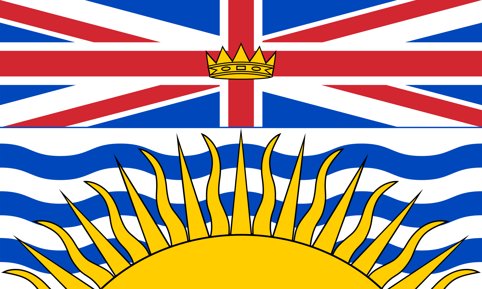 British Columbia-BC
 England
 India
India
 Jamaika
 Canada
 Malaysia
 National Capital Territory
 New Zealand

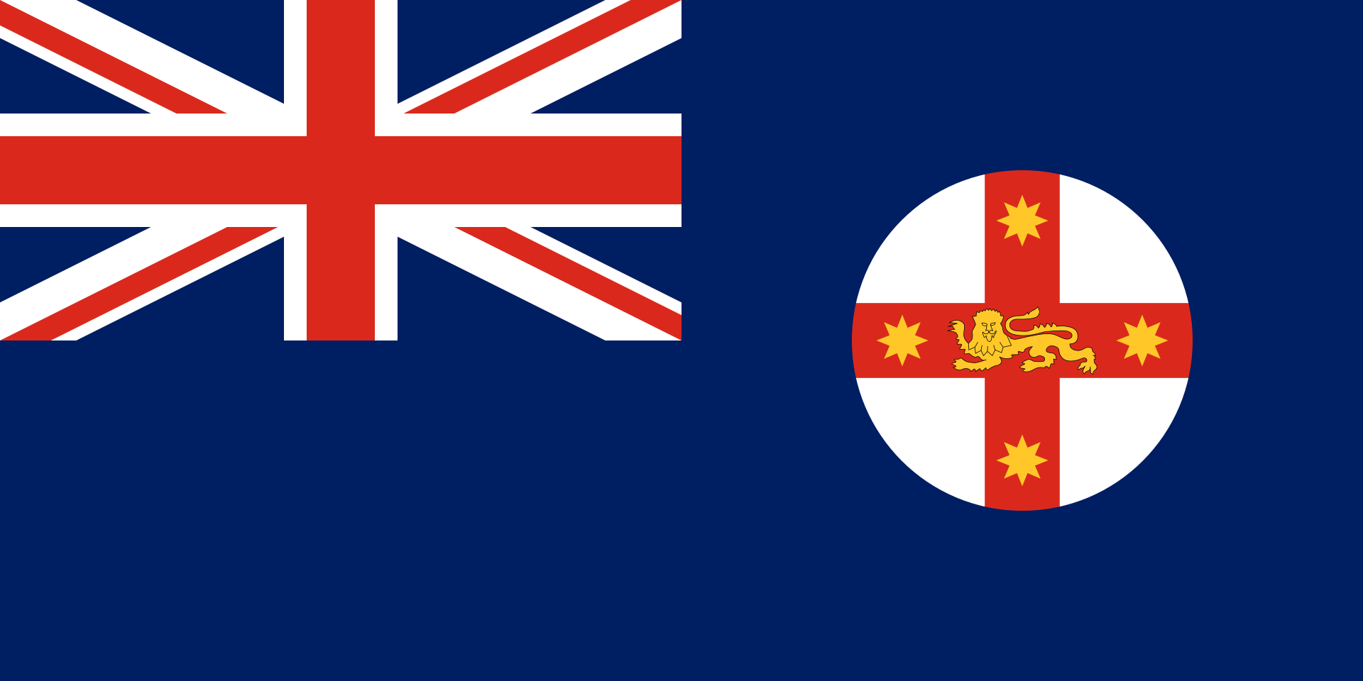 New South Wales-NSW
 Northern Ireland

 Ontario-ON

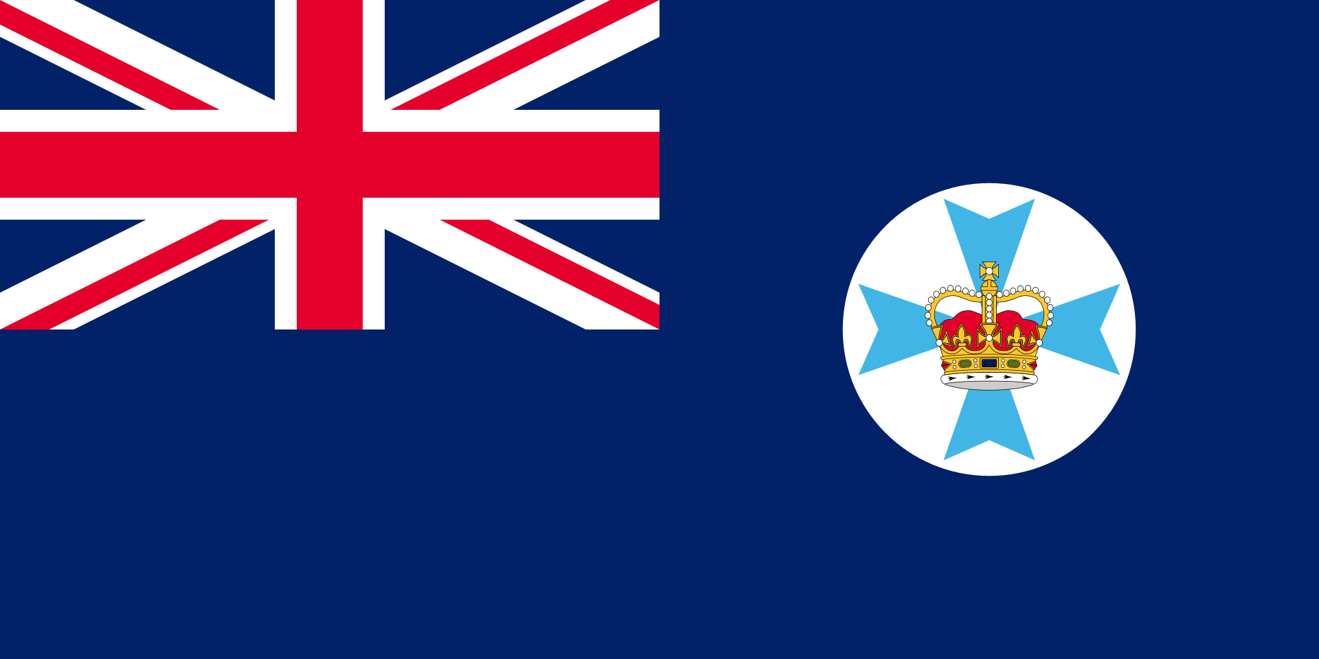 Queensland-QLD
 Schottland
 South Africa
 United Kingdom

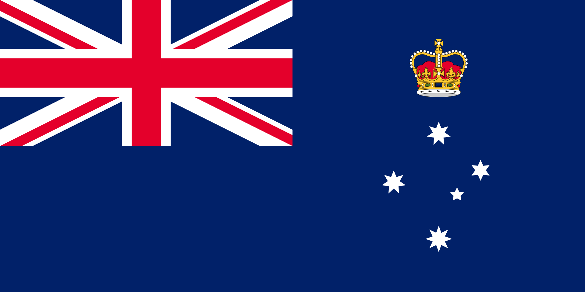 Victoria-VIC
 Wales
Wales

 Western Australia-WA

 Companies

 IT-Times
 International cities
 History
 Sport
Sport
 Geography
 Quebec-QC
 Medical, Pharmaceutical, Rehabilitation
 Michigan-MI
 New York-NY
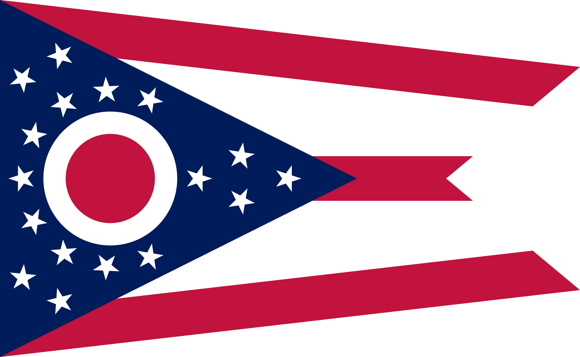 Ohio-OH
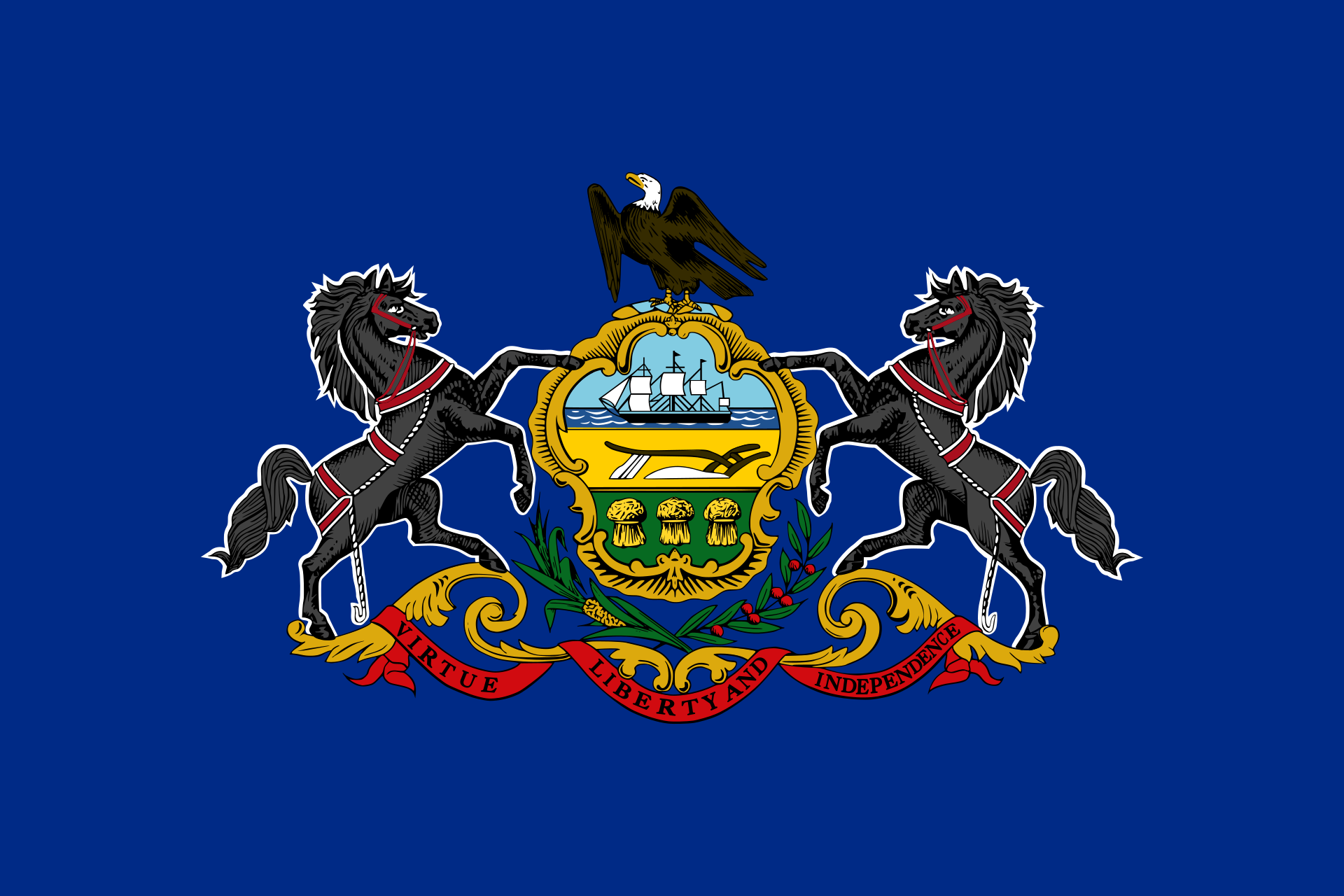 Pennsylvania-PA