
漢德百科全書 | 汉德百科全书
 Pennsylvania-PA




 Alabama-AL

 Alaska-AK

 Arizona-AZ

 Arkansas-AR

 Education and Research
 Universities and colleges in the United States of America

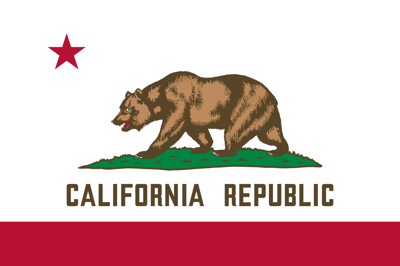 California-CA

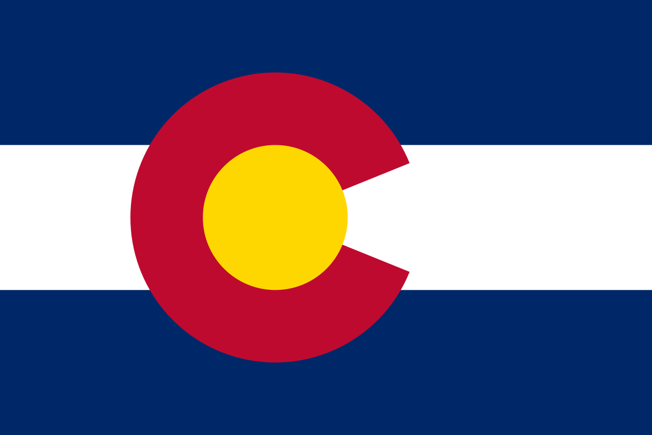 Colorado-CO

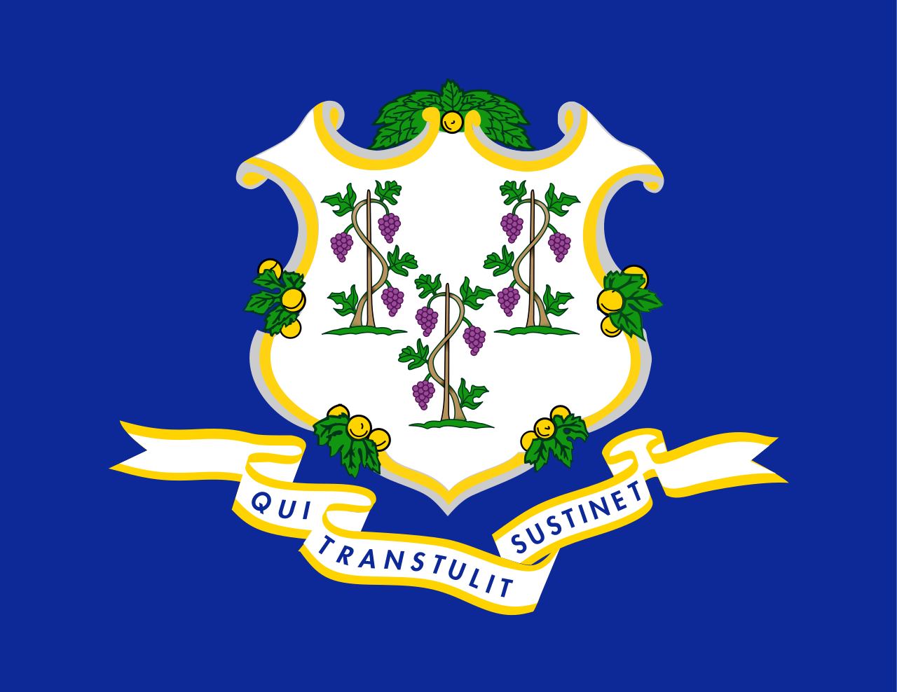 Connecticut-CT

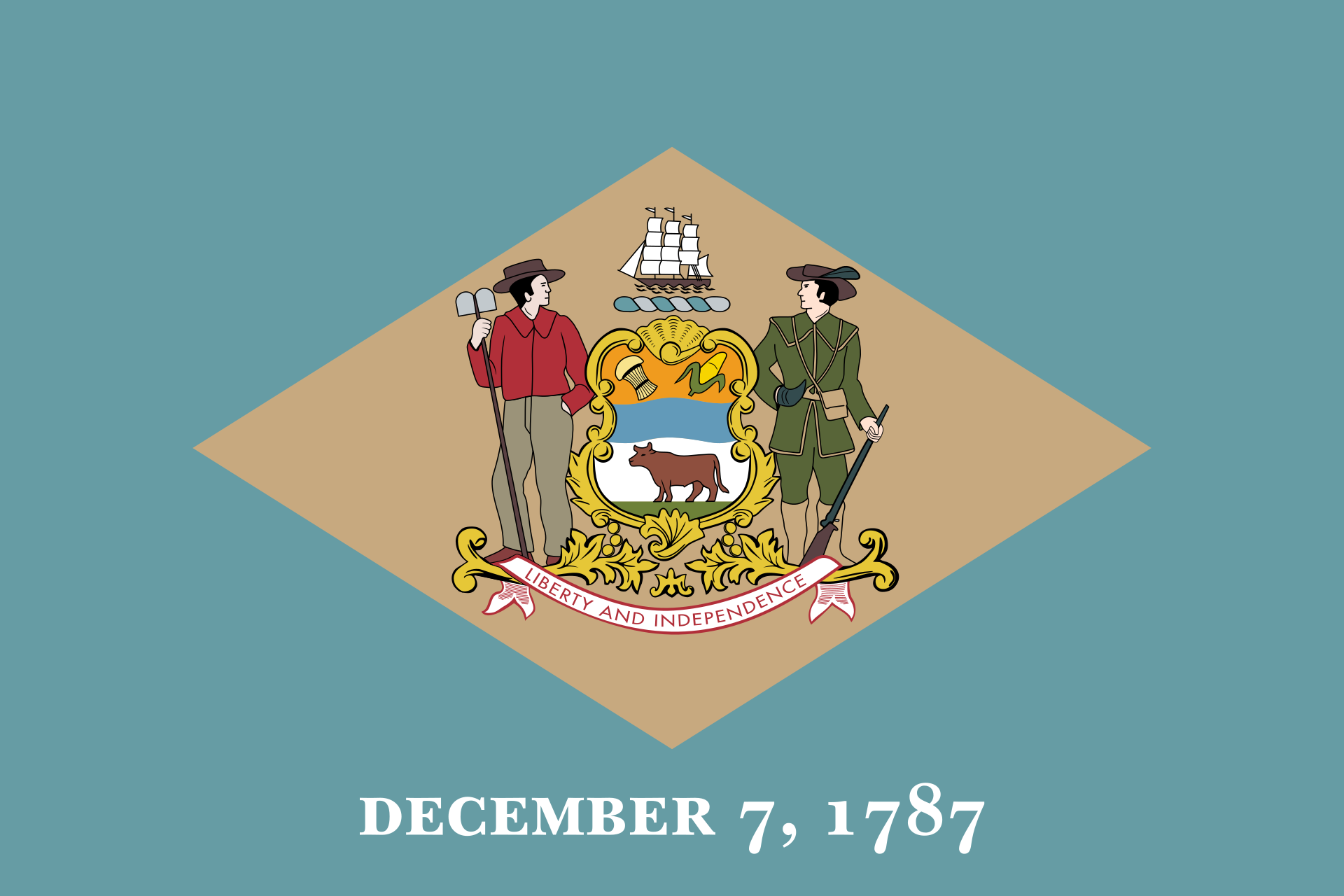 Delaware-DE

 Florida-FL

 Georgia-GA

 Hawaii-HI

 Idaho-ID

 Illinois-IL

 Indiana-IN

 Iowa-IA

 Kansas-KS

 Kentucky-KY

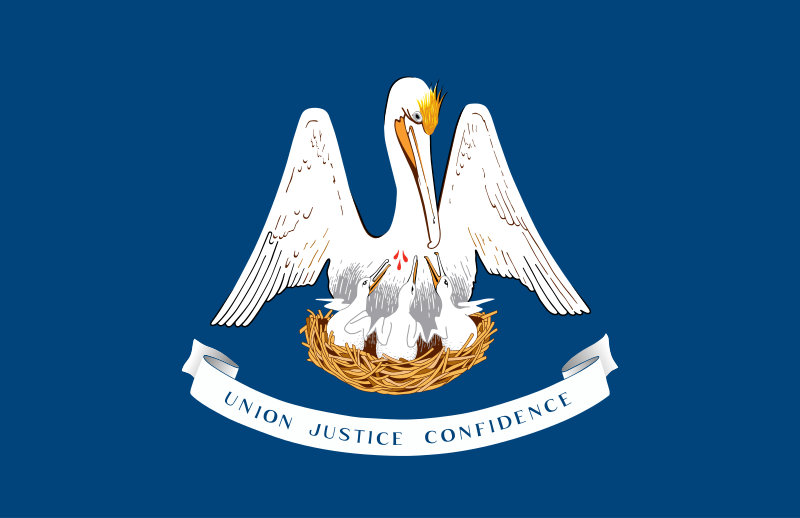 Louisiana-LA

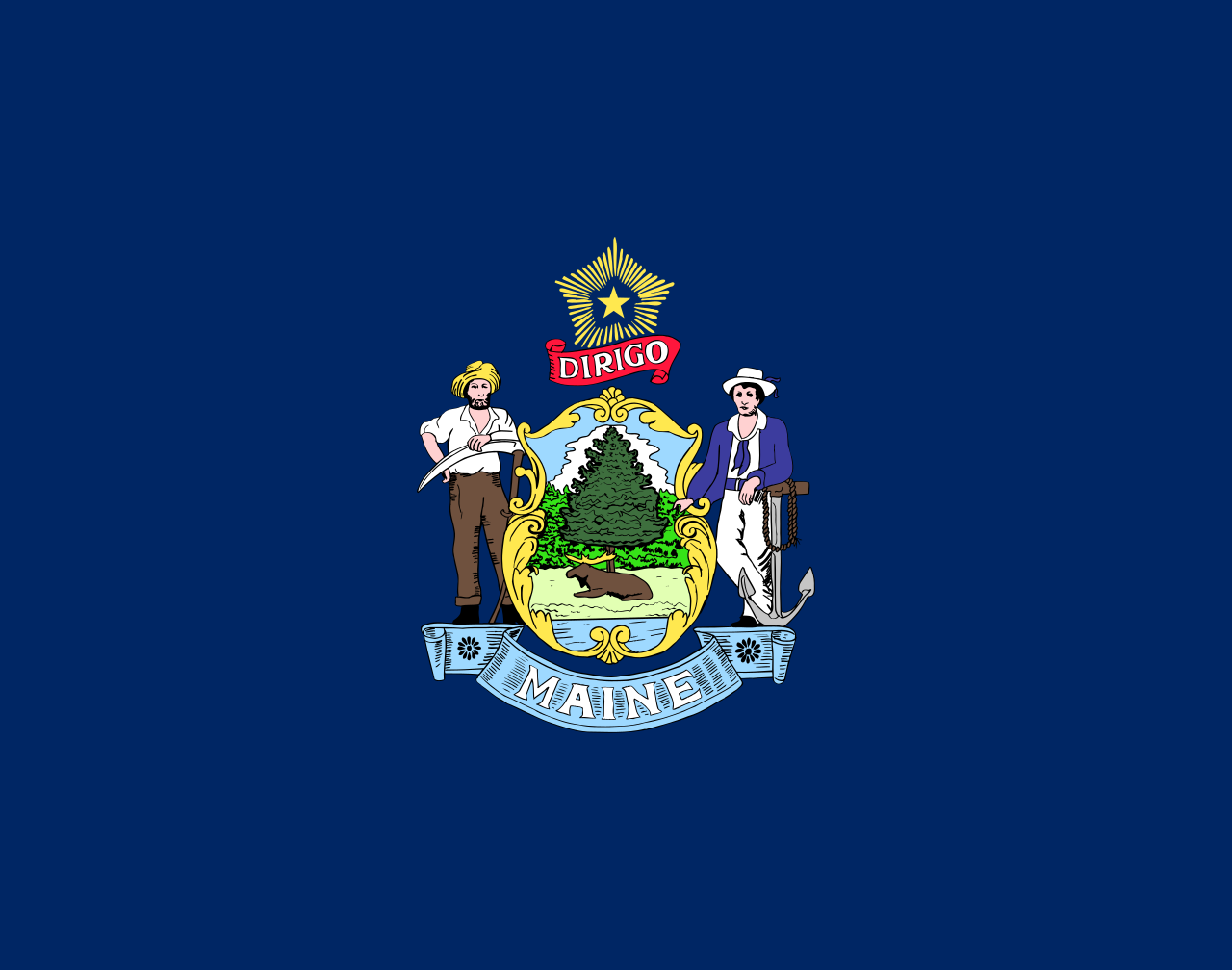 Maine-ME

 Maryland-MD

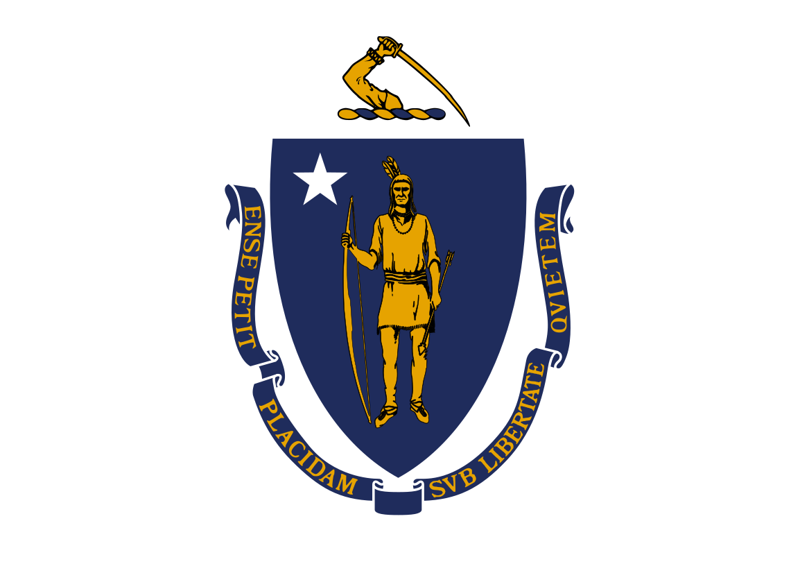 Massachusetts-MA

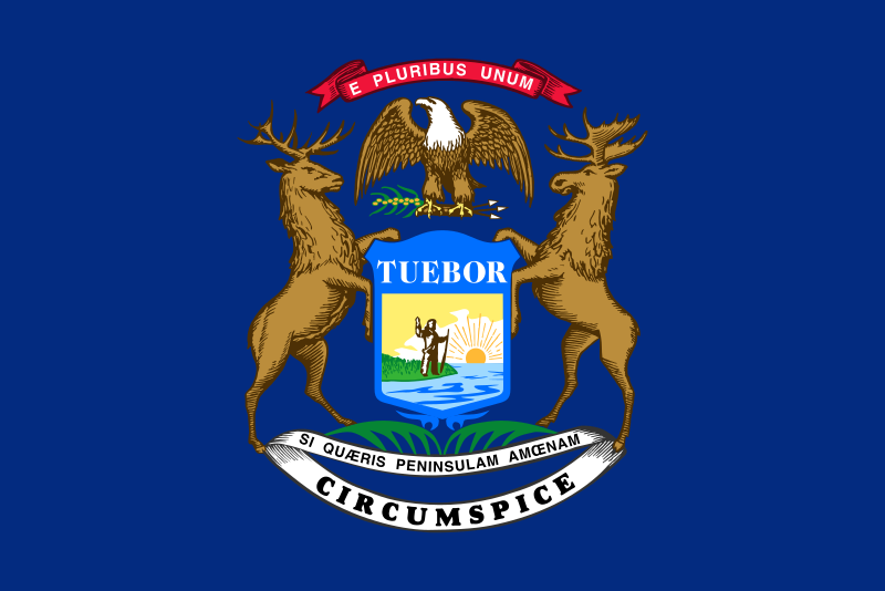 Michigan-MI

 Minnesota-MN

 Mississippi-MS

 Missouri-MO

 Montana-MT

 Nebraska-NE

 Nevada-NV

 New hampshire-NH

 New jersey-NJ

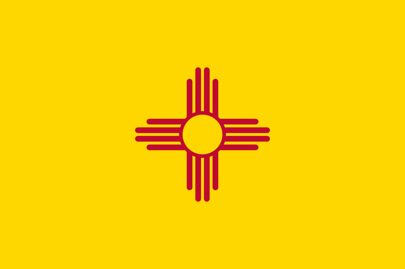 New mexico-NM

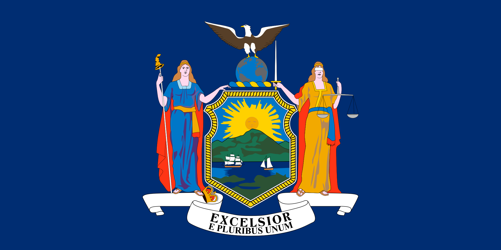 New York-NY

 North Carolina-NC

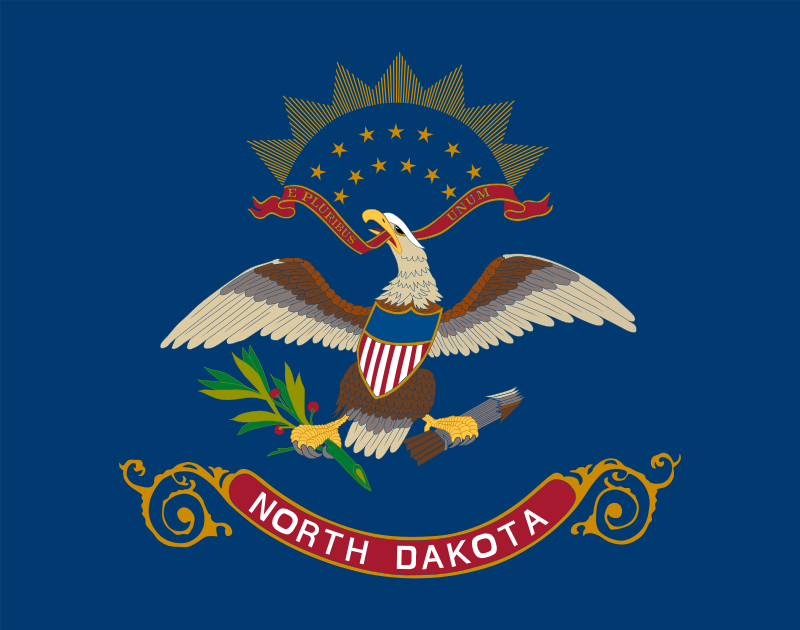 North Dakota-ND

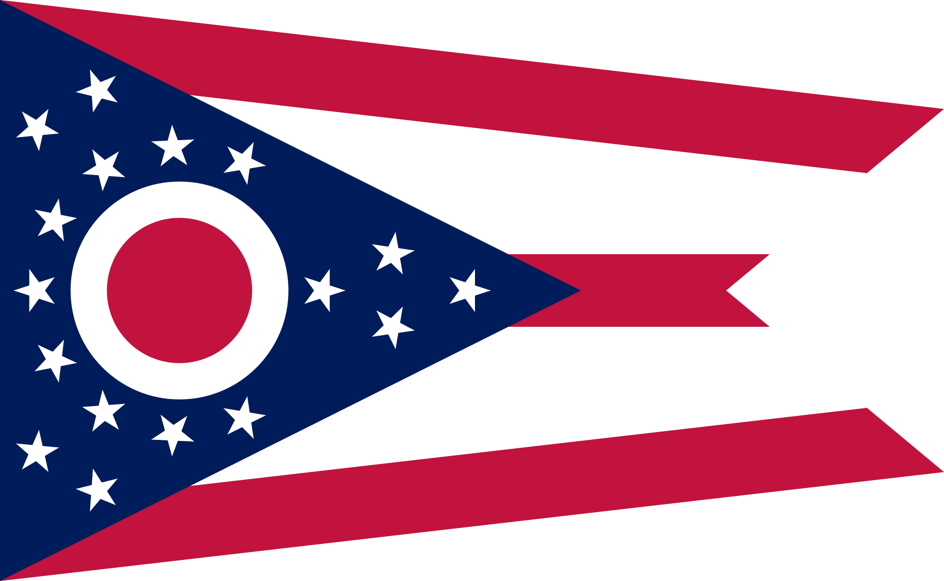 Ohio-OH

 Oklahoma-OK

 Oregon-OR

 Pennsylvania-PA

 Rhode Island-RI

 South Dakota-SD

 Tennessee-TN

 Texas-TX

 Universities in the USA

 Utah-UT
 United States

 Vermont-VT

 Virginia-VA

 Washington-WA

 Washington, D.C.

 West Virginia-WV

 Wisconsin-WI

 Wyoming-WY


 Alabama-AL

 Alaska-AK

 Arizona-AZ

 California-CA

 Colorado-CO

 Connecticut-CT

 Idaho-ID

 Illinois-IL

 Indiana-IN

 Iowa-IA

 Maine-ME

 Maryland-MD

 Massachusetts-MA

 Michigan-MI

 Minnesota-MN

 Missouri-MO

 Montana-MT

 Nevada-NV

 New hampshire-NH

 New jersey-NJ

 New mexico-NM

 New York-NY

 North Carolina-NC

 North Dakota-ND

 Ohio-OH

 Oregon-OR

 Pennsylvania-PA

 Rhode Island-RI

 South Dakota-SD

 Sport
Sport

 Tennessee-TN

 Texas-TX

 Utah-UT
 United States

 Vermont-VT

 Virginia-VA

 Washington-WA

 West Virginia-WV

 Wisconsin-WI

 Wyoming-WY
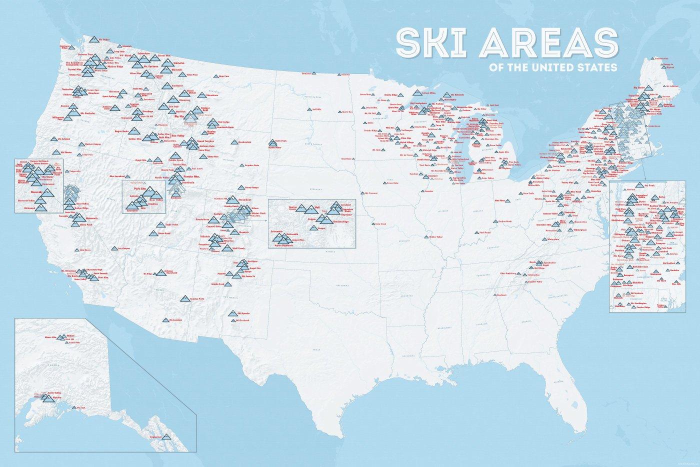
In vielen der 50 Bundesstaaten der USA gibt es Wintersportgebiete, von Maine bis nach Kalifornien. Vor allem drei große Gebirgszüge machen das Skifahren in den Vereinigten Staaten möglich: Zum einen sind dies die Rocky Mountains, die die sogenannten Mountain States durchqueren (Colorado, Nevada, Montana, Wyoming, Idaho und Utah). Die Cascades Range zieht sich von Kanada über Oregon bis hinunter nach Kalifornien. Im Osten der USA befinden sich zudem die Appalachen.
| Name | Orte im Gebiet | Staat | Seehöhe in m |
Liftanlagen1 | Pisten in km |
Weblink | |
| von | bis | ||||||
| Alta Snowbird | Snowbird | Utah | 2365 | 3350 | 1/18/0 | 150 | www.snowbird.com |
| Arapaho Basin | Colorado | 3292 | 3978 | 0/4/0 | 34 | www.arapahoebasin.com | |
| Aspen Highlands | Aspen | Colorado | 2460 | 3536 | 0/5/0 | 58 | www.aspensnowmass.com |
| Aspen Mountain | Aspen | Colorado | 2422 | 3417 | 1/7/0 | 50 | www.aspensnowmass.com |
| Aspen Butermilk | Aspen | Colorado | 2398 | 3013 | 0/5/1 | 34 | www.aspensnowmass.com |
| Aspen Snowmass | Aspen | Colorado | 2473 | 3813 | 2/13/5 | 137 | www.aspensnowmass.com |
| Beaver Creek Resort | Vail/Beaver Creek | Colorado | 2268 | 3478 | 0/15/8 | 152 | www.beavercreek.com |
| Big Sky Resort | Big Sky Village | Montana | 2072 | 3403 | 2/18/2 | 186 | www.bigskyresort.com |
| Breckenridge | Breckenridge | Colorado | 2926 | 3962 | 1/25/25 | 146 | www.snow.com |
| Deer Valley | Deer Valley | Utah | 2003 | 2918 | 1/20/0 | 105 | www.deervalley.com |
| Grand Targhee | Wyoming | 2438 | 3048 | 0/4/0 | 40 | www.grandtarghee.com | |
| Heavenly | Nevada | 1914 | 3039 | 2/17/6 | 89 | www.heavenly.com | |
| Jackson Hole Mountain | Teton Village | Wyoming | 1924 | 3185 | 3/9/0 | 150 | www.jacksonhole.com |
| Keystone | Keystone | Colorado | 2829 | 3782 | 2/16/16 | 116 | www.snow.com |
| Klamath Falls | Oregon | n/a | n/a | n/a | n/a | www.oregon.com | |
| Mammoth Mountain | Kalifornien | 2456 | 3362 | 3/23/4 | 112 | www.mammothmountain.com | |
| Park City Mountain | Park City | Utah | 2103 | 3039 | 0/15/0 | 87 | www.parkcitymountain.com |
| Squaw Valley | Squaw Valley | Kalifornien | 1886 | 2664 | 3/26/3 | 88 | www.squaw.com |
| Steamboat | Steamboat Springs | Colorado | 2097 | 3207 | 1/18/0 | 110 | www.steamboat.com |
| Telluride Skiresort | Telluride | Colorado | 2661 | 3735 | 3/11/0 | 98 | www.tellurideskiresort.com |
| The Canyons | Utah | 2061 | 3038 | 2/12/2 | 106 | www.thecanyons.com | |
| Vail | Vail | Colorado | 2450 | 3527 | 1/23/9 | 215 | www.vail.com |


 Connecticut-CT

 Florida-FL

 Geography

 Georgia-GA

 Maine-ME

 Maryland-MD

 Massachusetts-MA

 New hampshire-NH

 New jersey-NJ

 New York-NY

 North Carolina-NC

 Pennsylvania-PA

 Rhode Island-RI

 South Carolina-SC
 United States

 Virginia-VA
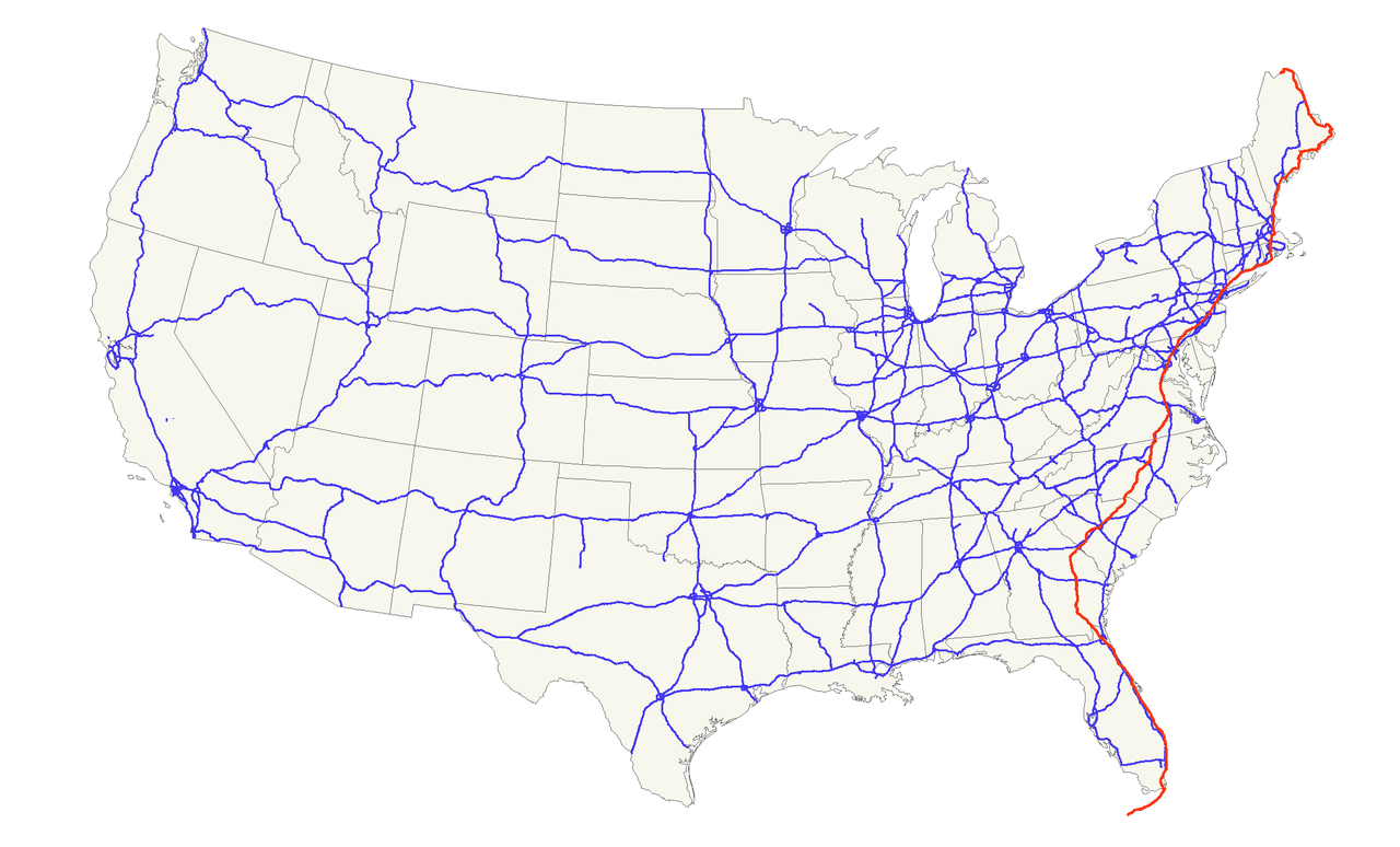
Der U.S. Highway 1 (auch U.S. Route 1 oder US 1) ist ein Highway, der parallel zur US-amerikanischen Ostküste verläuft. Die Gesamtlänge beträgt 3846 Kilometer. Im Norden endet der Highway in Fort Kent in Maine an der kanadischen Grenze. Im Süden ist es Key West an Floridas Küste zum Golf von Mexiko. Die US Route 1 verläuft an vielen Orten parallel zur Interstate 95. Festgelegt wurde sie 1926 zunächst nur zwischen der kanadischen Grenze und dem U.S. Highway 94 in Miami.
Die wichtigsten Städte, die der Highway passiert, sind Miami, Columbia, Richmond, Washington, D.C., Baltimore, Philadelphia, New York City, Boston und Portland.
Der Highway trägt die Nummer eins, weil er der am östlichsten gelegene ist und Nord-Süd-Highways von Ost nach West nummeriert werden.

 Alabama-AL

 Georgia-GA

 Louisiana-LA

 Maryland-MD

 Mississippi-MS

 New York-NY

 Pennsylvania-PA

 Tennessee-TN

 Virginia-VA

 West Virginia-WV

 Idaho-ID

 Illinois-IL

 Indiana-IN

 Iowa-IA

 Massachusetts-MA

 Montana-MT

 Nebraska-NE

 New York-NY

 Ohio-OH

 Oregon-OR

 Pennsylvania-PA

 Wyoming-WY
 Architecture
 FIFA Fussball-Weltmeisterschaft 2026
 Companies
 Financial
 Religion
 Art
Art
 Medical, Pharmaceutical, Rehabilitation
 Ski vacation
 Energy resource
 Transport and traffic