漢德百科全書 | 汉德百科全书
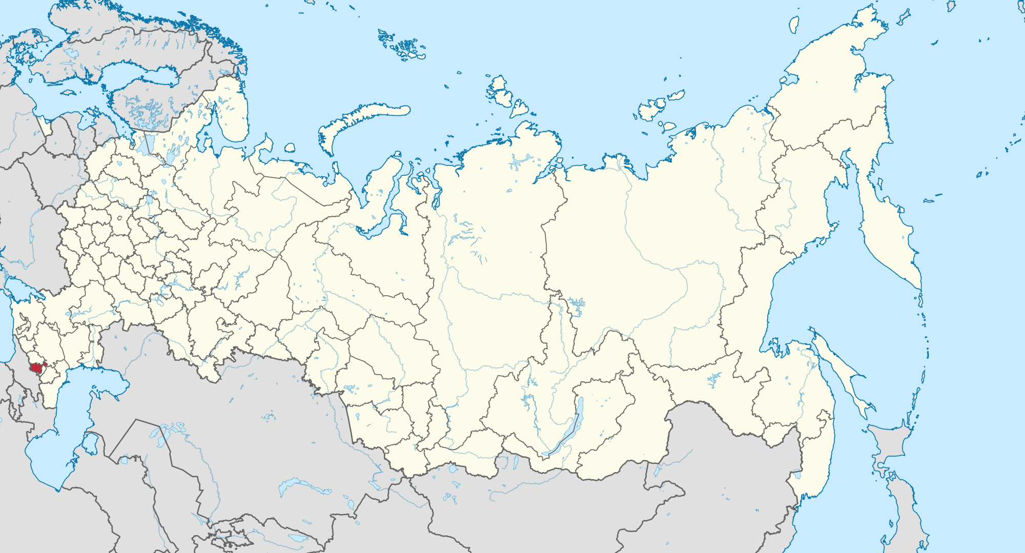
 Russia


 Ships and Nautics


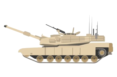

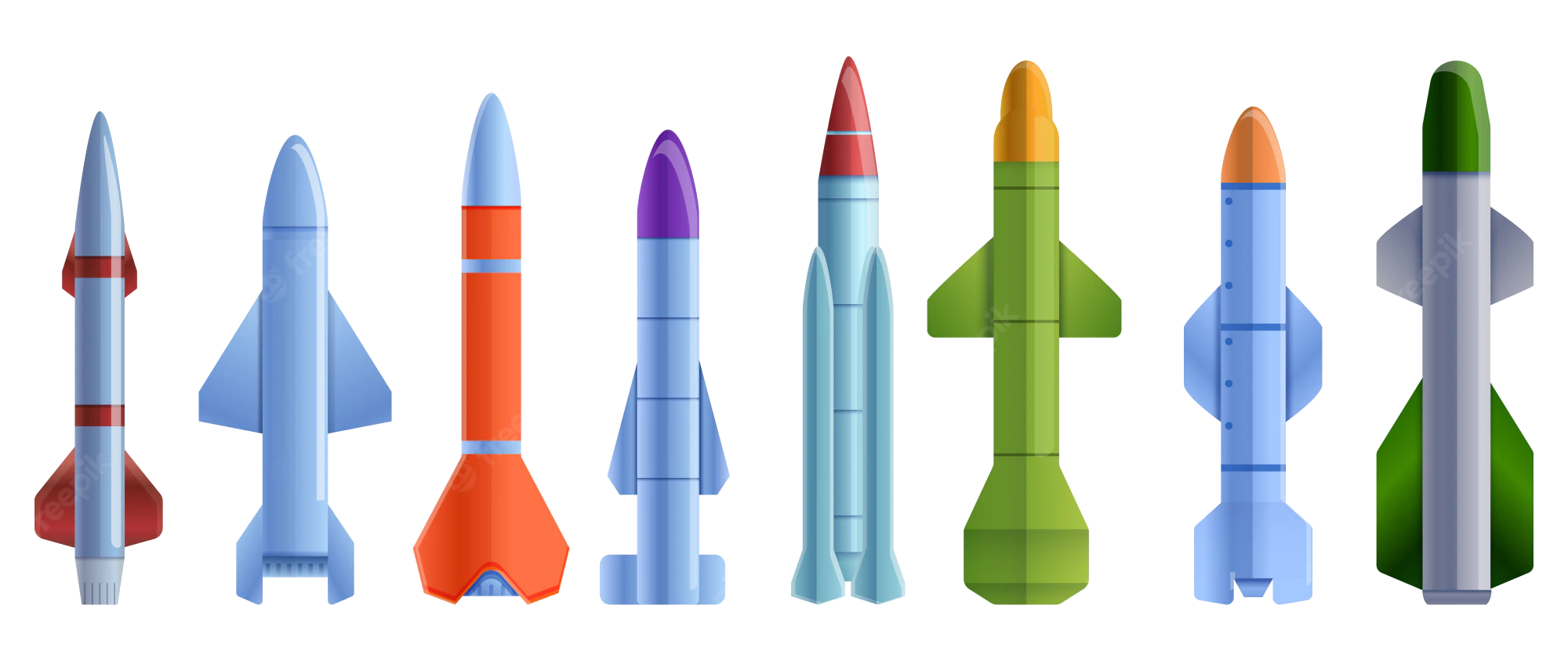 Military, defense and equipment
 Companies

 Energy resource


 Geography
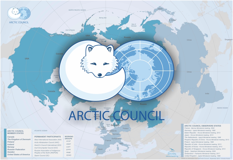
Der Arktische Rat (englisch Arctic Council) ist ein zwischenstaatliches Forum mit ständigem Sitz im norwegischen Tromsø,[1] das 1996 zum Interessenausgleich zwischen den arktischen Anrainerstaaten und den in der Region lebenden indigenen Völkern gegründet wurde.
北极理事会(英语:The Arctic Council、俄语:Арктический совет),又译为北极议会、北极委员会、北极协会,是一个高层次国际论坛,关注邻近北极的政府和原住民所面对的问题。总部设于挪威特罗姆瑟。目前组织有八个成员国,分别为:加拿大、美国、俄罗斯、冰岛、挪威、丹麦、瑞典、芬兰。
 Alaska-AK
Denmark
Finland
Iceland
Canada
Alaska-AK
Denmark
Finland
Iceland
Canada
 Northwest Territories-NT
Norwegen
Northwest Territories-NT
Norwegen
 Nunavut-NU
Russia
Sweden
United States
Nunavut-NU
Russia
Sweden
United States
 Yukon-YT

北极圈是指纬度数值为北纬66°34′(90°-23°26′) 的一个假想圈,是北寒带与北温带的分界线,与黄赤交角(南回归线、北回归线所在的纬度数值)余角。北极圈以北的地区被称为“北极圈内”。通常,北极圈内的地区被叫做北极地区,由北冰洋以及周边陆地组成,其陆地部分包括了格陵兰、北欧三国、冰岛格里姆赛岛、俄罗斯北部、美国阿拉斯加北部以及加拿大北部。北极圈内岛屿很多,最大的是格陵兰岛。由于严寒,北极圈以内的生物种类很少。植物以地衣、苔藓为主,动物有北极熊、海豹、鲸等。
北极圈也是极昼和极夜现象开始出现的界线,北极圈以北的地区在夏天会出现极昼,而在冬天会出现极夜。
Polarkreise nennt man die Besonderen Breitenkreise der Erde auf 66° 33′ 55″ (66,565°) nördlicher und südlicher Breite, auf denen die Sonne an den beiden Tagen der Sonnenwende gerade nicht mehr auf- bzw. untergeht. Ihr Radius entspricht dem axialen Abstand der Wendekreise vom Äquator.
 Economy and trade


 Animal world


Der Baikalsee (russisch о́зеро Байка́л osero Baikal, burjatisch Байгал Bajgal; im Deutschen wie im Russischen oft nur (der) Baikal genannt) ist ein See in Sibirien, im asiatischen Teil Russlands. Er ist mit 1642 Metern[1] (an der von Leonid Kolotilo 1983 entdeckten tiefsten Stelle) der tiefste, mit mehr als 25 Millionen Jahren der älteste und zudem auch der wasserreichste Süßwassersee der Erde.[4] Sein Abfluss, die Angara, fließt über den Jenissei in die Karasee des Polarmeeres. 1996 wurde die Baikal-Region von der UNESCO zum Weltnaturerbe erklärt.
贝加尔湖(俄语:озеро Байкал,罗马化:Ozero Baykal,IPA:[ˈozʲɪrə bɐjˈkaɫ];布里亚特语:Байгал нуур,拉丁转写:Baygal nuur,蒙古语:Байгал нуур)位于俄罗斯西伯利亚伊尔库茨克州及布里亚特共和国境内,面积约为31,722平方公里,距离蒙古国边界111公里,是世界上水容量最大的淡水湖,最深近2000米,为北亚地区不少部族的世居领地,例如布里亚特人居住在湖泊东侧地区,于该地豢养山羊、骆驼、牛只及绵羊[3][4]。另外,贝加尔湖有“西伯利亚明珠”之称[5][6][7][8]。贝加尔湖为大陆裂谷湖,有逾1,700种动物及植物栖息其中,而且2/3为特有种[9],联合国教科文组织于1996年将贝加尔湖登录为世界自然遗产[10]。


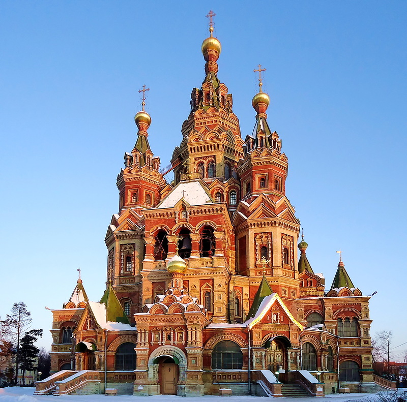
 Architecture
 Religion