
漢德百科全書 | 汉德百科全书
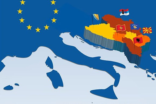
 Bosnia Herzegovina
 Albania
Andrej Babiš
Andrej Plenković
Angela Merkel
António Costa
Bosnia Herzegovina
Charles Michel
Emmanuel Macron
Albania
Andrej Babiš
Andrej Plenković
Angela Merkel
António Costa
Bosnia Herzegovina
Charles Michel
Emmanuel Macron
 European Union
 Hand in Hand
Kosovo
Kyriakos Mitsotakis
Mario Draghi
Mark Rutte
Mateusz Morawiecki
Montenegro
Nikos Anastasiadis
Nordmazedonien
Pedro Sánchez
Sebastian Kurz
Serbia
Ursula von der Leyen
Viktor Orbán
Xavier Bettel
Hand in Hand
Kosovo
Kyriakos Mitsotakis
Mario Draghi
Mark Rutte
Mateusz Morawiecki
Montenegro
Nikos Anastasiadis
Nordmazedonien
Pedro Sánchez
Sebastian Kurz
Serbia
Ursula von der Leyen
Viktor Orbán
Xavier Bettel

Albania
Aleksandar Vučić
Alexander De Croo
Alexander Stubb
Andorra
Andrej Plenković
Armenia
Azerbaijan
Belgium
Bjarni Benediktsson
Bosnia Herzegovina
Bulgaria
Charles Michel
Denmark
Denis Bećirović
Germany
Dick Schoof
Donald Tusk
Edi Rama
Emmanuel Macron
England
Estonia
European Union
Evika Siliņa
Finland
France
Georgia
Giorgia Meloni
Gitanas Nausėda
Greece
Hristijan Mickoski
Ilham Aliyev
Ireland
Iceland
Italy
Jakov Milatović
Jens Stoltenberg
Jonas Gahr Støre
Kaja Kallas
Keir Starmer
Klaus Johannis
Kosovo
Croatia
Kyriakos Mitsotakis
Latvia
Liechtenstein
Lithuania
Luc Frieden
Luxembourg
Maia Sandu
Malta
Mette Frederiksen
Moldawien
Monaco
Montenegro
Netherlands
Nikol Pashinyan
Nordmazedonien
Norwegen
Olaf Scholz
Austria
 Party and government
Party and government
Party and government
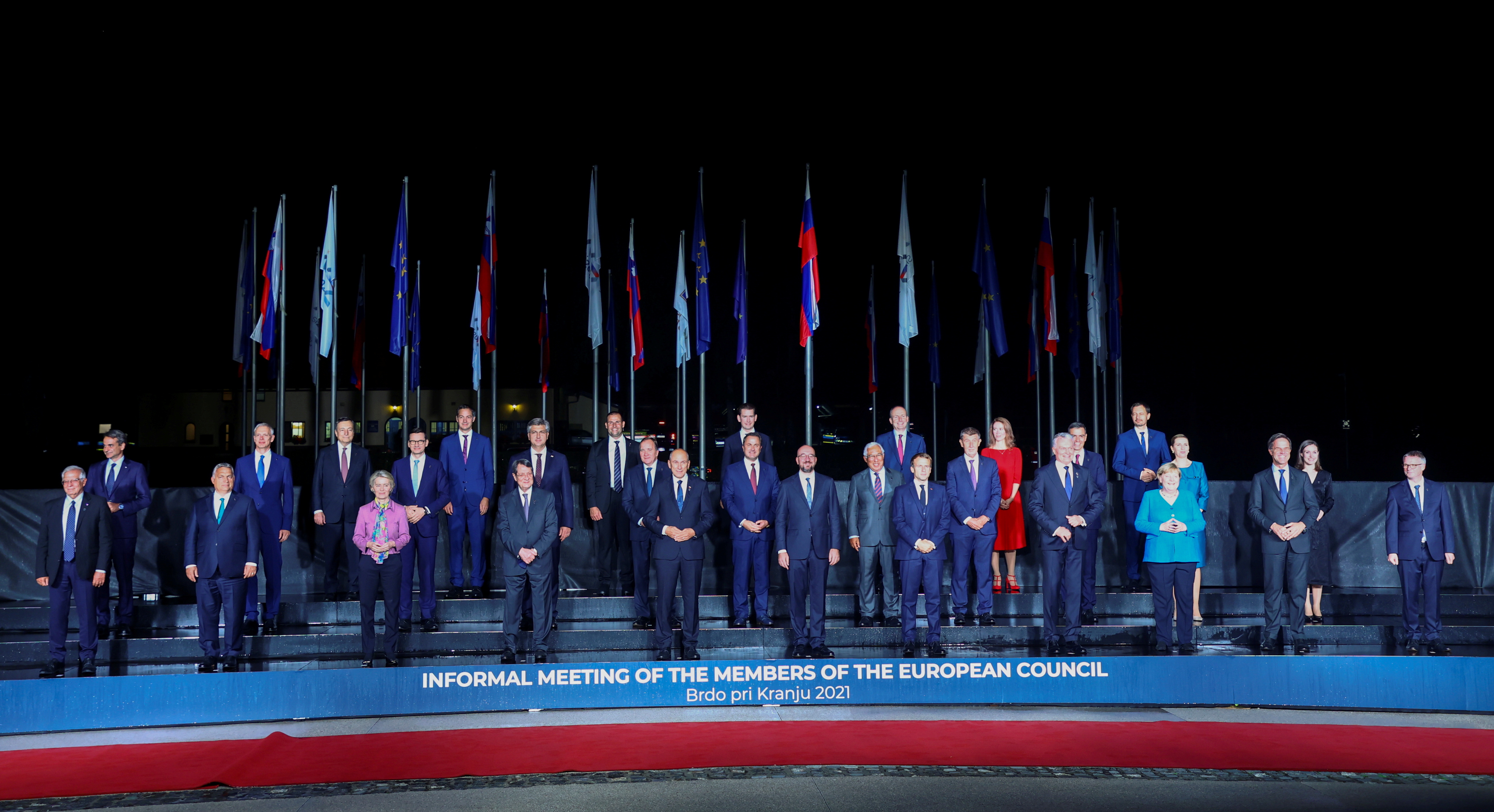
 European Political Community Summit
Pedro Sánchez
Petr Fiala
Poland
Portugal
Robert Abela
Robert Golob
Romania
Rumen Radew
San Marino
Sweden
Switzerland
Serbia
Simon Harris
Slovakia
Slovenia
Spain
Czech Republic
Turkey
Ukraine
Hungary
United Kingdom
Viktor Orbán
Viola Amherd
Wolodymyr Selenskyj
Cyprus
European Political Community Summit
Pedro Sánchez
Petr Fiala
Poland
Portugal
Robert Abela
Robert Golob
Romania
Rumen Radew
San Marino
Sweden
Switzerland
Serbia
Simon Harris
Slovakia
Slovenia
Spain
Czech Republic
Turkey
Ukraine
Hungary
United Kingdom
Viktor Orbán
Viola Amherd
Wolodymyr Selenskyj
Cyprus


 Architecture

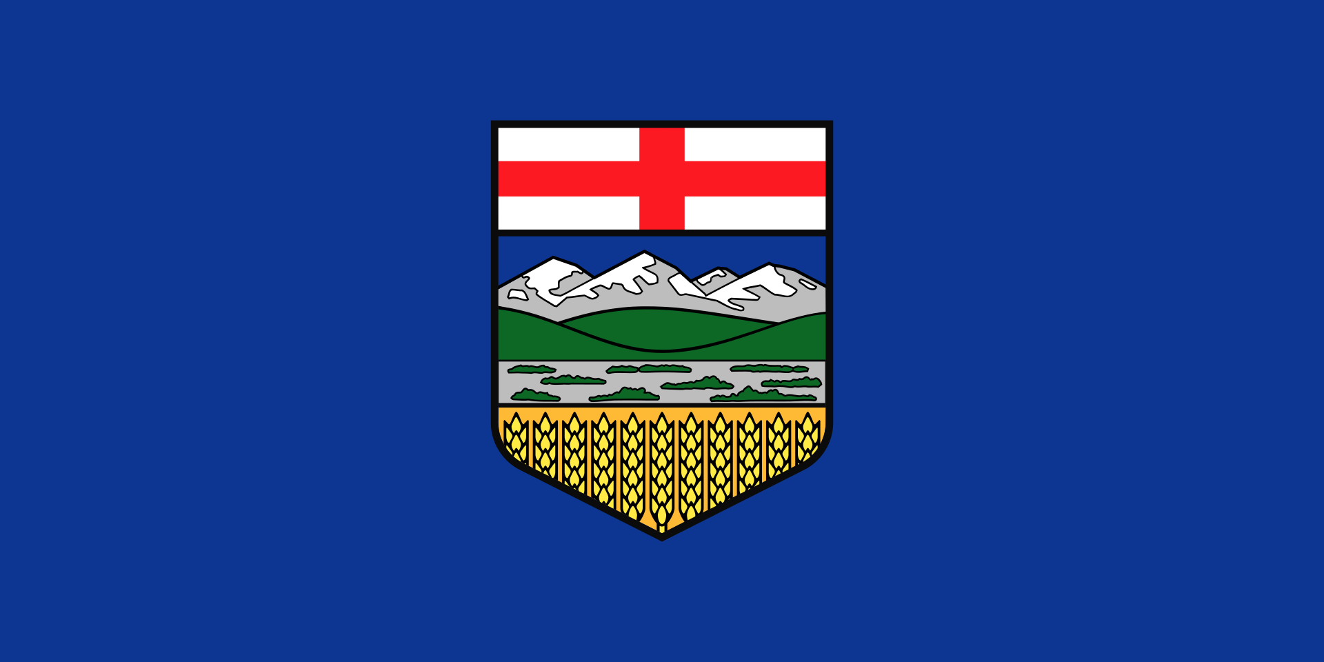 Alberta-AB
Argentina
Australia
Alberta-AB
Argentina
Australia
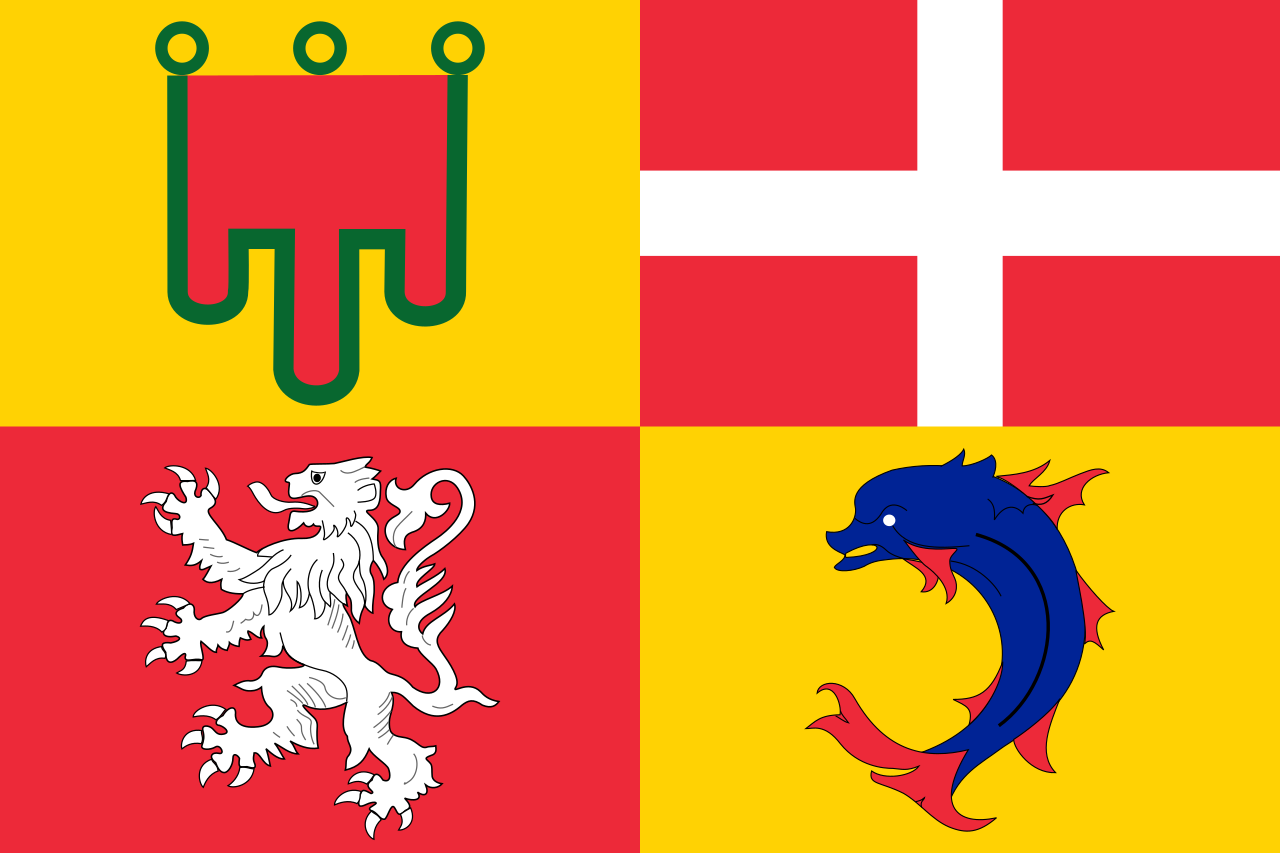 Auvergne-Rhône-Alpes
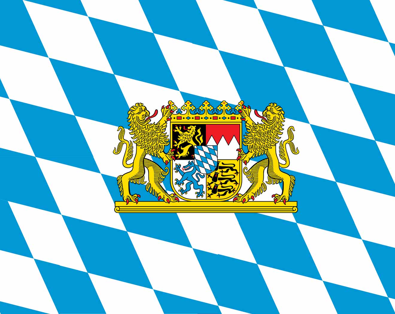 Bavaria
Beijing Shi-BJ
Bavaria
Beijing Shi-BJ
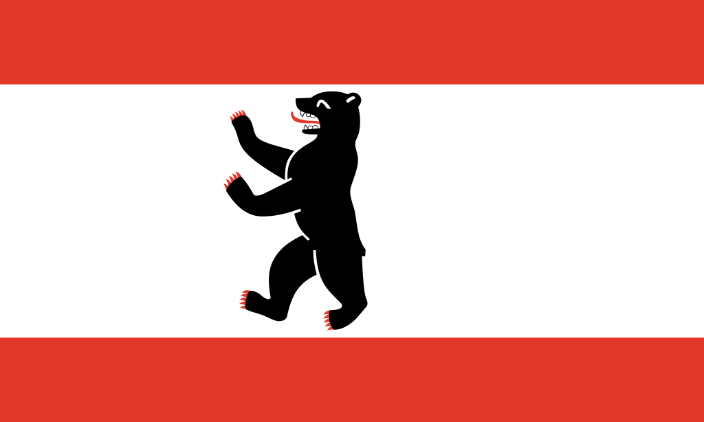 Berlin
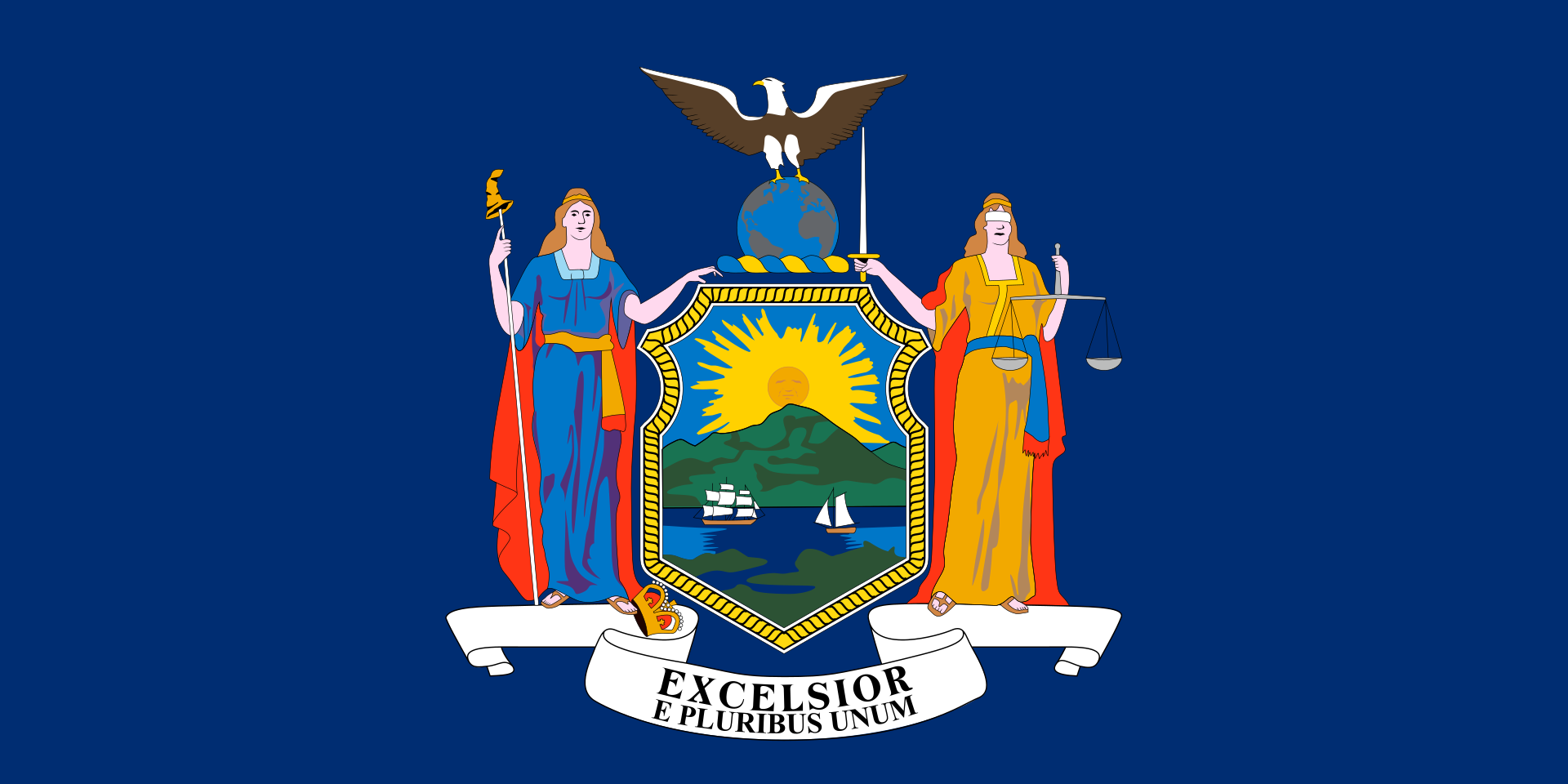
Bosnia Herzegovina
Brazil
Berlin
Bosnia Herzegovina
Brazil
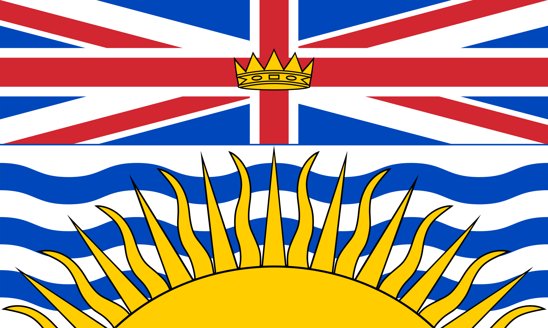 British Columbia-BC
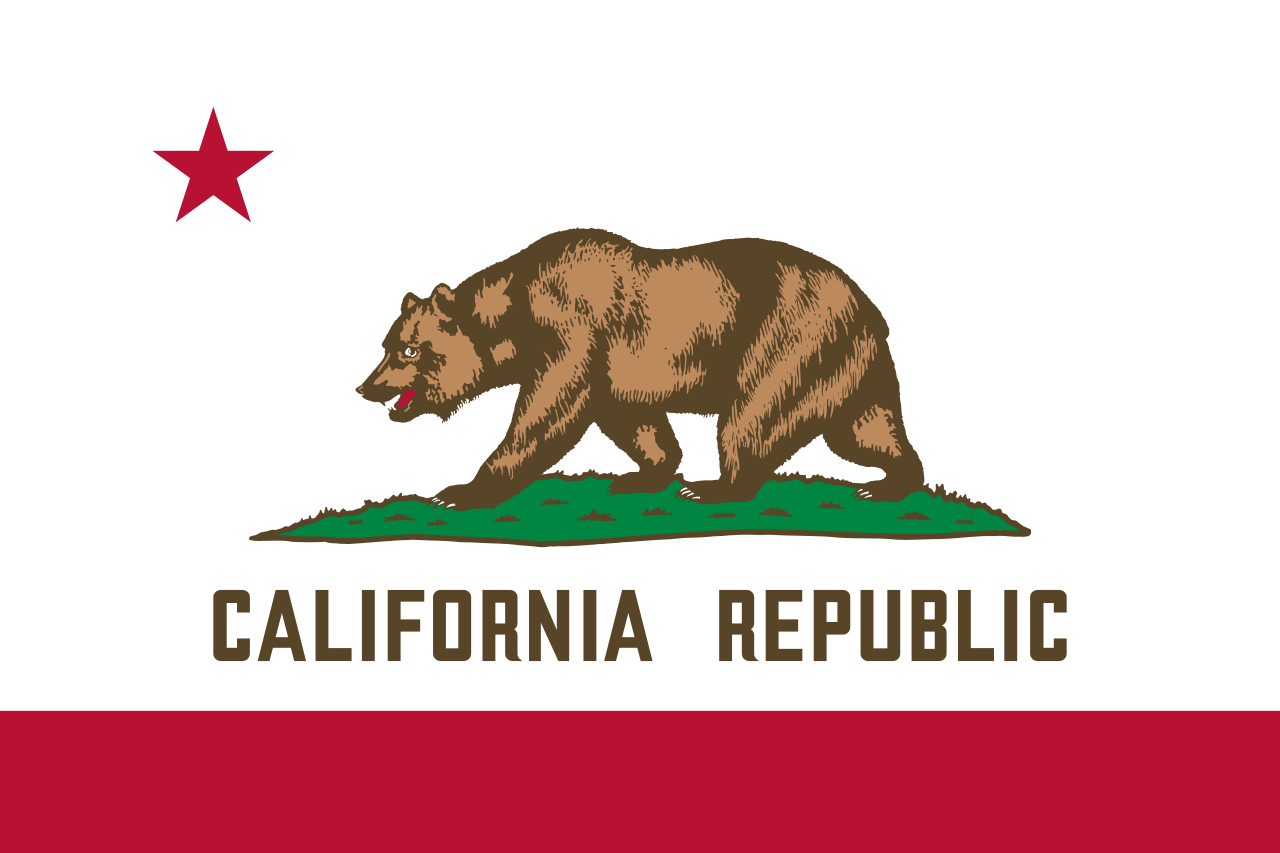 California-CA
 Cataluña
China
Chūbu
Germany
England
France
Cataluña
China
Chūbu
Germany
England
France
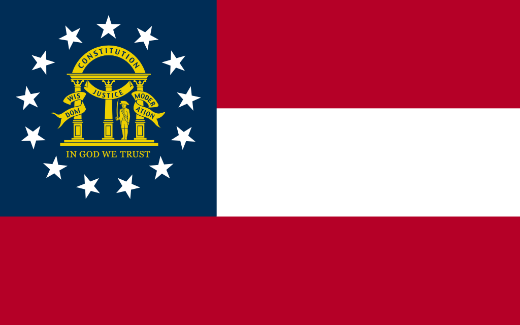 Georgia-GA
Greece
Hokkaidō
Georgia-GA
Greece
Hokkaidō
 Ile-de-France
Italy
Japan
Jiangsu Sheng-JS
Canada
Kantō
Ile-de-France
Italy
Japan
Jiangsu Sheng-JS
Canada
Kantō
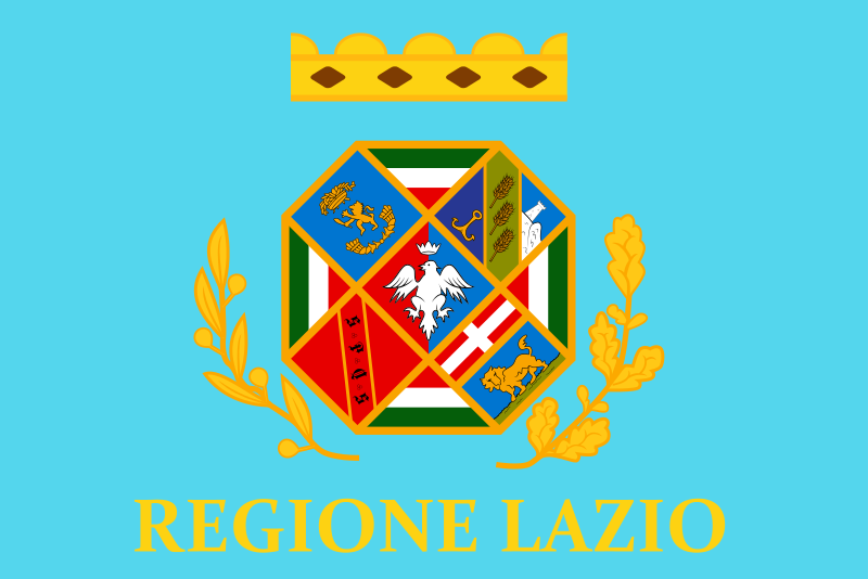 Lazio
Lazio
 Lombardia
Mexico
Lombardia
Mexico
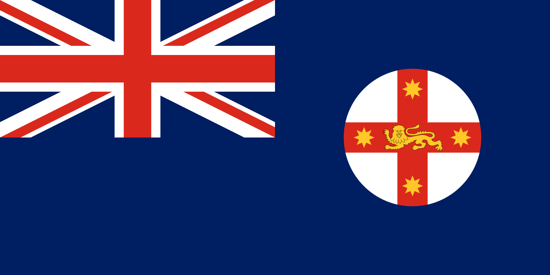 New South Wales-NSW
 New York-NY
Norwegen
Austria
New York-NY
Norwegen
Austria
 Piemonte
 Quebec-QC
 Queensland-QLD
Republic of Korea
Rio de Janeiro
Russia
Switzerland
Senegal
Singapore
Spain
Queensland-QLD
Republic of Korea
Rio de Janeiro
Russia
Switzerland
Senegal
Singapore
Spain
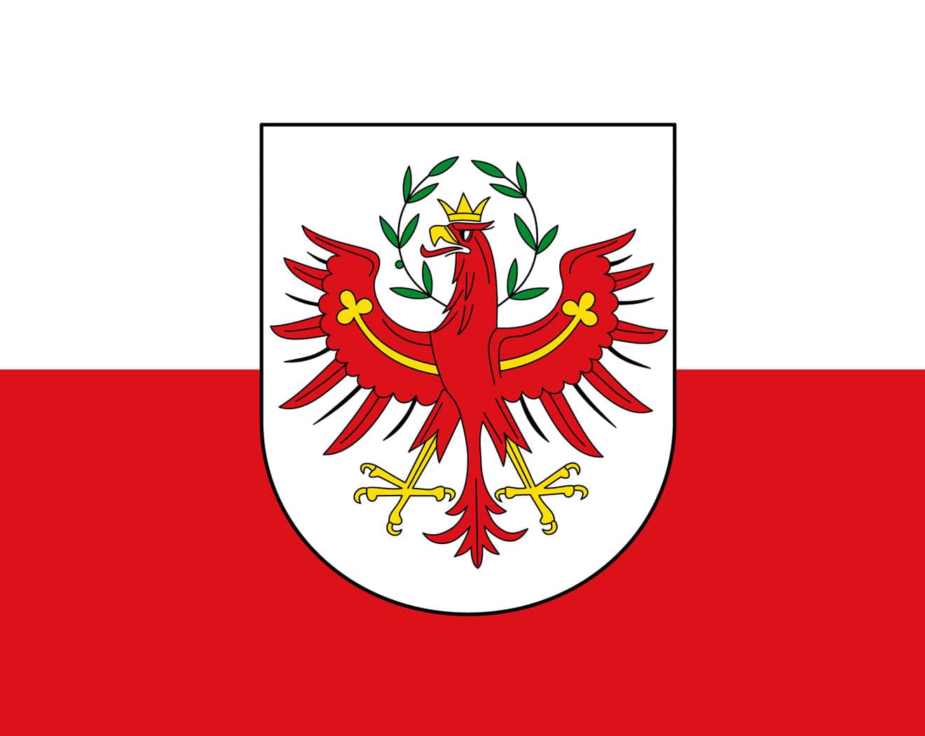 Tyrol
Tyrol
 Utah-UT
United States
United Kingdom
Utah-UT
United States
United Kingdom

| 奥林匹克圣歌 | ||
|---|---|---|
| 希腊文歌词 | 英文歌词 | 中文歌词 |
| Αρχαίο Πνεύμ' αθάνατο, αγνέ πατέρα του ωραίου, του μεγάλου και τ'αληθινού, κατέβα, φανερώσου κι άστραψ'εδώ πέρα στην δόξα της δικής σου γης και τ'ουρανού. |
Immortal spirit of antiquity, Father of the true, beautiful and good, Descend, appear, shed over us thy light Upon this ground and under this sky Which has first witnessed thy unperishable fame. |
古代不朽之神, 美丽、伟大而正直的圣洁之父。 祈求降临尘世以彰显自己, 让受人瞩目的英雄在这大地苍穹之中, 作为你荣耀的见证。 |
| Στο δρόμο και στο πάλεμα και στο λιθάρι, στων ευγενών Αγώνων λάμψε την ορμή, και με τ' αμάραντο στεφάνωσε κλωνάρι και σιδερένιο πλάσε κι άξιο το κορμί. |
Give life and animation to those noble games! Throw wreaths of fadeless flowers to the victors In the race and in the strife! Create in our breasts, hearts of steel! |
请照亮跑步、角力与投掷项目, 这些全力以赴的崇高竞赛。 把用橄榄枝编成的花冠颁赠给优胜者, 塑造出钢铁般的躯干。 |
| Κάμποι, βουνά και θάλασσες φέγγουν μαζί σου σαν ένας λευκοπόρφυρος μέγας ναός, και τρέχει στο ναό εδώ, προσκυνητής σου, Αρχαίο Πνεύμ' αθάνατο, Kάθε λαός. |
In thy light, plains, mountains and seas Shine in a roseate hue and form a vast temple To which all nations throng to adore thee, Oh immortal spirit of antiquity! |
溪谷、山岳、海洋与你相映生辉, 犹如以色彩斑斓的岩石建成的神殿。 这巨大的神殿, 世界各地的人们都来膜拜, 啊!永远不朽的古代之神。 |
Die olympische Hymne (griechisch Ολυμπιακός Ύμνος Olympiakos Ymnos) gehört zu den olympischen Symbolen. Die Melodie stammt von dem Komponisten Spyros Samaras, der Text von Kostis Palamas und wurde eigens für die 1. Olympischen Spiele der Neuzeit 1896 in Athen geschrieben. Sie ist die einzige offizielle olympische Festmusik und Bestandteil aller wichtigen Ereignisse der olympischen Bewegung.
《奥林匹克圣歌》(又称《奥林匹克颂》;希腊语:Ολυμπιακός Ύμνος,法语:Hymne Olympique,英语:Olympic Hymn)是奥林匹克会歌(英语:Olympic Anthem),是合唱清唱套曲,1958年第54次国际奥委会全体会议上定为奥林匹克会歌。奥林匹克会歌由国际奥林匹克委员会的第一任主席泽麦特里乌斯·维凯拉斯亲自选择的;由希腊歌剧作曲家斯皮罗·萨马拉斯作曲、希腊作家兼诗人科斯蒂斯·帕拉马斯作词。
 History
Alberta-AB
Australia
Auvergne-Rhône-Alpes
Bavaria
Beijing Shi-BJ
Belgium
Berlin
Bosnia Herzegovina
Brazil
British Columbia-BC
California-CA
Cataluña
China
Chūbu
Germany
England
Finland
France
Georgia-GA
Greece
Hebei Sheng-HE
Hokkaidō
Ile-de-France
Italy
Japan
Canada
Kantō
Lazio
Mexico
History
Alberta-AB
Australia
Auvergne-Rhône-Alpes
Bavaria
Beijing Shi-BJ
Belgium
Berlin
Bosnia Herzegovina
Brazil
British Columbia-BC
California-CA
Cataluña
China
Chūbu
Germany
England
Finland
France
Georgia-GA
Greece
Hebei Sheng-HE
Hokkaidō
Ile-de-France
Italy
Japan
Canada
Kantō
Lazio
Mexico
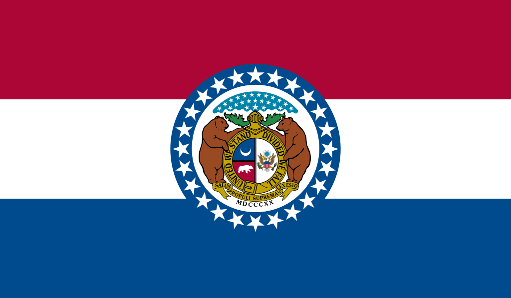 Missouri-MO
New South Wales-NSW
New York-NY
Netherlands
Norwegen
2016 Summer Olympics
2002 Winter Olympics
2006 Winter Olympics
2010 Winter Olympics
2014 Winter Olympics
2018 Winter Olympics
2018 Winter Olympics
2022 Winter Olympics
Austria
Piemonte
Quebec-QC
Republic of Korea
Rio de Janeiro
Russia
Missouri-MO
New South Wales-NSW
New York-NY
Netherlands
Norwegen
2016 Summer Olympics
2002 Winter Olympics
2006 Winter Olympics
2010 Winter Olympics
2014 Winter Olympics
2018 Winter Olympics
2018 Winter Olympics
2022 Winter Olympics
Austria
Piemonte
Quebec-QC
Republic of Korea
Rio de Janeiro
Russia
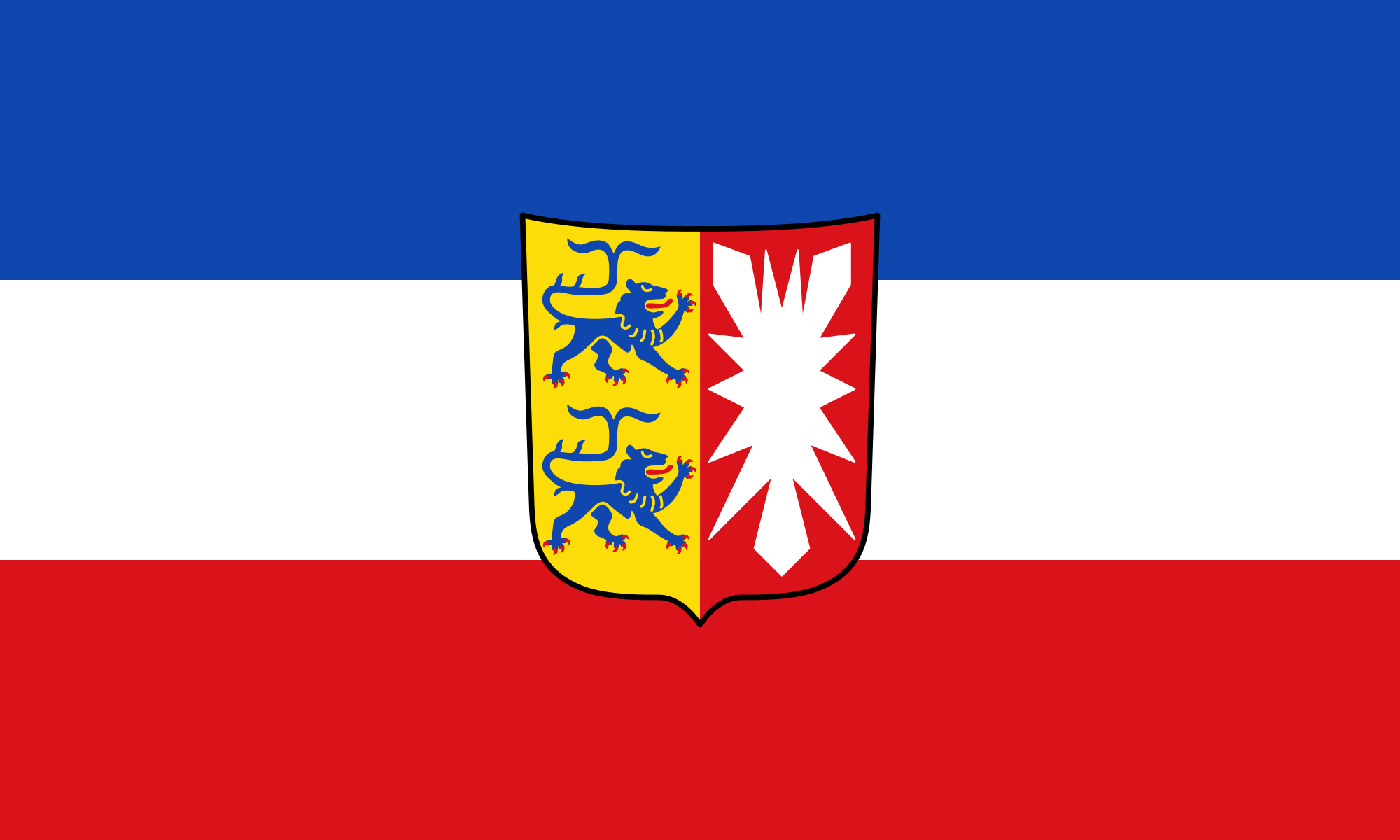 Schleswig-Holstein
Sweden
Switzerland
Spain
Schleswig-Holstein
Sweden
Switzerland
Spain
 Sport
Tyrol
Utah-UT
Sport
Tyrol
Utah-UT
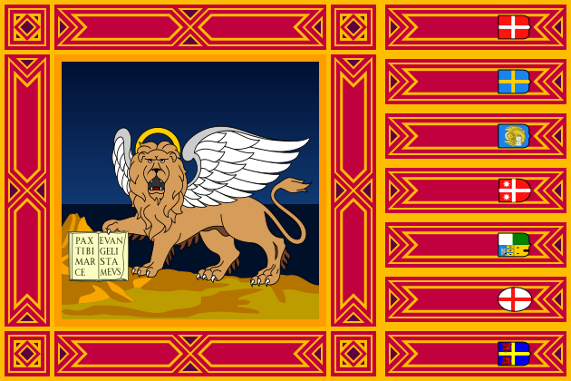 Veneto
United States
United Kingdom
Veneto
United States
United Kingdom
 Victoria-VIC

奥林匹克圣火(英语:Olympic Flame)是奥林匹克运动会的标志。它在古代奥运会上燃烧以纪念古希腊神话中,普罗米修斯从宙斯手中偷来的火。从1928年开始,奥林匹克圣火又重新成为了奥运会的一部分。从1936年柏林奥运会开始出现了圣火传递。它有着传承火焰,生生不息的意义。
Das olympische Feuer ist ein Symbol der olympischen Bewegung. Es ist auch ein Symbol der Kontinuität zwischen den antiken und den modernen Spielen.[1] Das olympische Feuer wird einige Monate vor den Olympischen Spielen in Olympia, Griechenland, entzündet. Mit dieser Zeremonie beginnt der olympische Fackellauf, der offiziell mit dem Entzünden des olympischen Kessels während der Eröffnungsfeier der Olympischen Spiele endet. Die Flamme brennt dann während der gesamten Dauer der Spiele im Kessel weiter, bis sie bei der Abschlusszeremonie gelöscht wird.
 Geography
Albania
Bosnia Herzegovina
Bulgaria
Greece
Kosovo
Croatia
Montenegro
Nordmazedonien
Romania
Serbia
Slovenia
Turkey
Geography
Albania
Bosnia Herzegovina
Bulgaria
Greece
Kosovo
Croatia
Montenegro
Nordmazedonien
Romania
Serbia
Slovenia
Turkey
 Albania
Bosnia Herzegovina
Bulgaria
Greece
Kosovo
Croatia
Montenegro
Nordmazedonien
Romania
Serbia
Slovenia
Turkey
Albania
Bosnia Herzegovina
Bulgaria
Greece
Kosovo
Croatia
Montenegro
Nordmazedonien
Romania
Serbia
Slovenia
Turkey
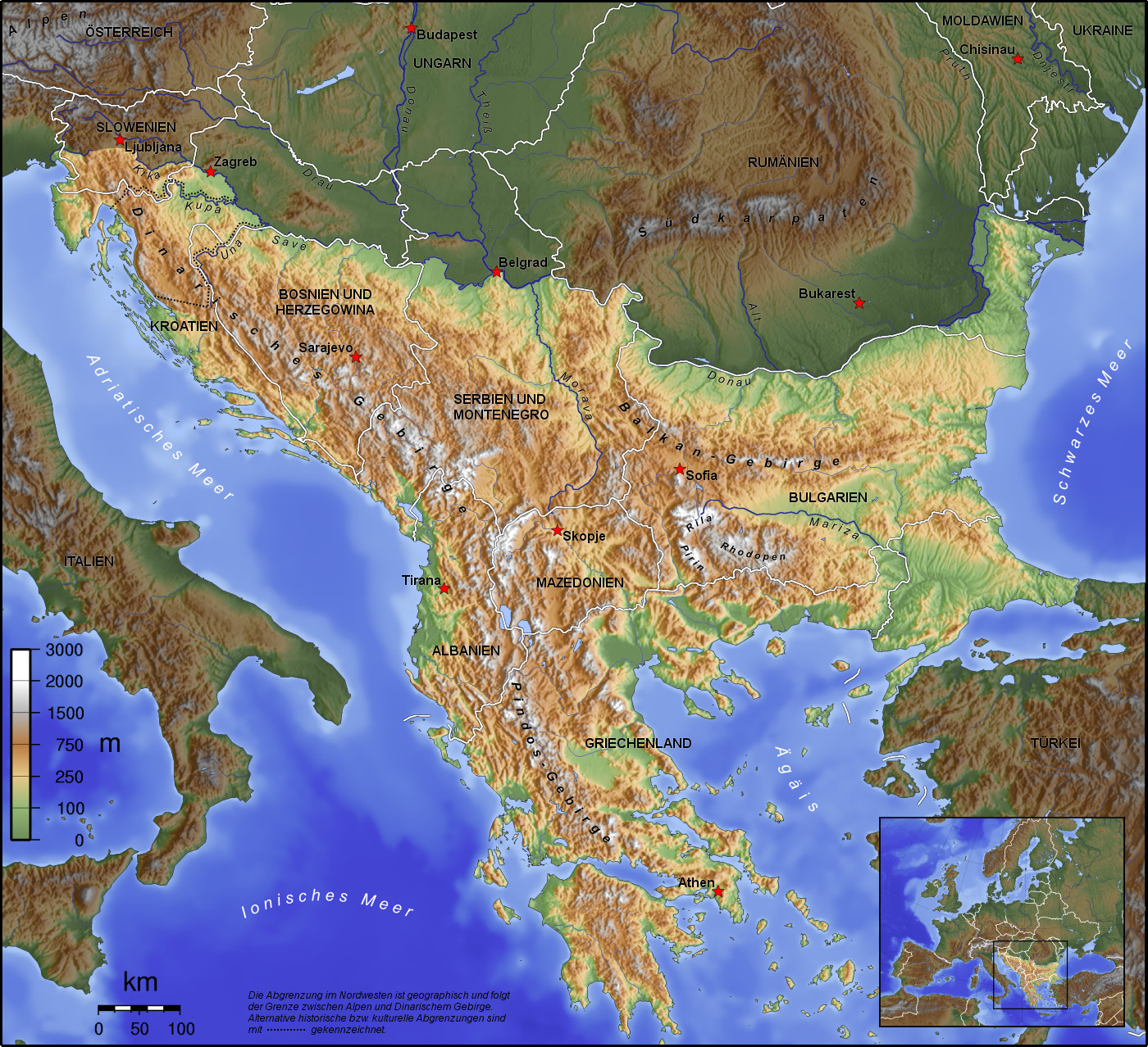
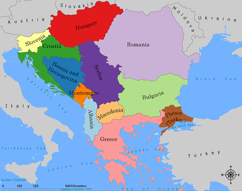
Die Balkanhalbinsel (auch kurz Balkan, oft synonym mit Südosteuropa verwendet) ist eine geographisch nicht eindeutig definierte Halbinsel im Südosten Europas. Sie ragt in das Mittelmeer und ist nach dem Balkangebirge benannt. Der größte Staat auf der Halbinsel ist Griechenland, gefolgt von Bulgarien (in dem sich der Großteil des Balkangebirges befindet), Serbien, Bosnien und Herzegowina, Albanien, Nordmazedonien, Montenegro und dem Kosovo. Die Staatsgebiete von Serbien, Kroatien, Rumänien, Slowenien und der Türkei, die durch ihre thrakischen Provinzen Anteil am Balkan hat, reichen über die Grenzen der Balkanhalbinsel hinaus.
Ungeachtet der Herleitung des geographischen Namens sind das dominierende Gebirge des Balkans die Dinariden im westlichen Teil der Halbinsel; ihr höchster Gipfel Jezerca (2694 m) liegt in Albanien. Die höchste Erhebung des Balkans ist der Gipfel Musala (2925 m) im Rila-Gebirge. Das Balkangebirge erreicht 2376 m maximale Gipfelhöhe.
巴尔干半岛(Balkans),是一个地理名词,用以描述欧洲的东南隅位于亚得里亚海和黑海之间的陆地,详细的范围依照定义不同有许多种说法。该地约有55万平方公里和近5500万人口。在古希腊时代,巴尔干半岛被称为哈伊莫司半岛。该地区的名称来自于一条通过保加利亚中心到东塞尔维亚的巴尔干山脉。[1]
巴尔干地区向来存在诸多矛盾,其中既有宗教矛盾,也有领土争端。由于半岛的地缘政治重要性,由此而来的列强干涉致使这一地区的矛盾频繁被放大为战争,因此又有欧洲火药库之称。不过近年巴尔干半岛(南斯拉夫内战后至今)已实现停火与和平,只是偶然间在领土主权上有些纠纷,例如科索沃主权问题。第一次世界大战的触发点之——萨拉热窝事件亦是发生在巴尔干半岛上。
目前,巴尔干半岛共有11个国家,共有面积是47.6万平方公里,人口1.3亿。
南欧相邻地中海的三大半岛,从东向西分别为巴尔干半岛、意大利半岛(亚平宁半岛)、伊比利亚半岛。
半岛地处欧、亚、非三大陆之间,是欧、亚联系的陆桥,南临地中海重要航线,东有博斯普鲁斯海峡和达达尼尔海峡扼黑海的咽喉,地理位置极为重要。地形以山地为主,喀尔巴阡山以南多为山丘及石灰岩地形,以北多以为平原为主。半岛西部有迪纳拉-品都斯山脉,中东部有喀尔巴阡-老山(巴尔干)山脉。老山山脉是阿尔卑斯、喀尔巴阡山的延伸,经南斯拉夫东部,横贯保加利亚中部,直临黑海。东西两列山脉之间是古老的罗多彼山脉和马其顿山丛,最高峰穆萨拉峰,海拔2925米。半岛上平原分布零散,仅萨瓦河、多瑙河、马里查河谷较宽广。 巴尔干半岛位于欧洲东南部,三面被水环绕:西邻亚德里亚海、南面是地中海(包括爱奥尼亚海和爱琴海)和马尔马拉海、东边是黑海。其北部边界通常被定为多瑙河、萨瓦河和库帕河。[2] [3]巴尔干半岛包括49万平方公里土地。
バルカン半島(バルカンはんとう、Balkan Peninsula)、またはバルカン(Balkans)は東南ヨーロッパにある地理的領域であり、地理的・歴史的に様々な意味合いと定義付け[1][2]の下で使用される概念である[3]。名称はバルカン山脈からきている。この山脈はセルビアとブルガリアの国境から黒海沿岸まで、ブルガリア全土を横断している。バルカン半島は北西をアドリア海に、南西をイオニア海に、南と南東をエーゲ海に、そして東と北東を黒海によって区切られている[4]。北側の境界は論者と文脈によって様々に定義されていて不定である。バルカン半島の最高地点はリラ山地にあるムサラ山(2925メートル)である。
バルカン半島という概念はドイツの地理学者アウグスト・ツォイネによって1808年に創り出された[5][6]。彼はバルカン山脈がディナル・アルプス山脈と共にアドリア海から黒海まで東南ヨーロッパを区分していると誤認していた[5]。この地域はかつてオスマン帝国の属領であり、バルカン半島という用語は19世紀にはヨーロッパ・トルコ(European Turkey)の同義語であった[7]。バルカン半島という言葉は地理学的というよりもむしろ地政学的定義を持っており、この傾向は20世紀初頭にユーゴスラヴィア王国が成立するとさらに増した。バルカン半島を定義する自然境界が「半島」の学術的定義と一致していないため、現代の地理学者は「バルカン半島」という考え方を拒絶しており、通常はバルカンを「地域」として議論を行っている。この言葉には徐々に、特に1990年代以降、バルカニゼーション(バルカン化)のプロセスと関連して汚名と侮蔑的意味合いが与えられており[4][8]、それ故に東南ヨーロッパ(南東ヨーロッパ)という別の用語が使用されている。
The Balkans (/ˈbɔːlkənz/ BAWL-kənz), also known as the Balkan Peninsula, is a geographic area in Southeast Europe with various geographical and historical definitions.[2][3][4] The region takes its name from the Balkan Mountains that stretch throughout the whole of Bulgaria. The Balkan Peninsula is bordered by the Adriatic Sea in the northwest, the Ionian Sea in the southwest, the Aegean Sea in the south, the Turkish Straits in the east, and the Black Sea in the northeast. The northern border of the peninsula is variously defined.[5] The highest point of the Balkans is Mount Musala, 2,925 metres (9,596 ft), in the Rila mountain range, Bulgaria.
The concept of the Balkan Peninsula was created by the German geographer August Zeune in 1808,[6] who mistakenly considered the Balkan Mountains the dominant mountain system of Southeast Europe spanning from the Adriatic Sea to the Black Sea. The term Balkan Peninsula was a synonym for Rumelia in the 19th century, the European provinces of the Ottoman Empire. It had a geopolitical rather than a geographical definition, which was further promoted during the creation of the Kingdom of Yugoslavia in the early 20th century. The definition of the Balkan Peninsula's natural borders do not coincide with the technical definition of a peninsula; hence modern geographers reject the idea of a Balkan peninsula, while historical scholars usually discuss the Balkans as a region. The term has acquired a stigmatized and pejorative meaning related to the process of Balkanization,[5][7] and hence the preferred alternative term used for the region is Southeast Europe.
Les Balkans sont une des trois « péninsules » de l'Europe du Sud, mais cette appellation traditionnelle est parfois contestée en l'absence d'un isthme : les géographes préfèrent le terme de « région ». Elle est bordée par des mers sur trois côtés : la mer Adriatique et la mer Ionienne à l'ouest, la mer Égée au sud et la mer de Marmara et la mer Noire à l'est. Au nord, on la délimite généralement par les cours du Danube, de la Save et de la Kupa. Cette région couvre une aire totale de plus de 550 000 km2 et regroupe une population de près de 53 millions d’habitants.
La penisola balcanica, nota anche come Balcani (dalla forma abbreviata di Monti Balcani, sistema montuoso tra Bulgaria e Serbia; dal turco balkan ‘monteʼ[2]), è una penisola dell'Europa orientale; è delimitata a ovest dal mare Adriatico, a sud-ovest dal mar Ionio, a est dal mar Nero, a sud-est dal mar di Marmara, e a sud dal mar Egeo.
Come spesso accade per le penisole, incerta è la definizione del suo confine sulla terraferma, aggravato dal fatto che si tratta di uno dei suoi confini più estesi. Non aiuta inoltre la definizione di questa linea di demarcazione il fatto che il territorio presenta al suo interno grandi differenze e frammentazioni per storia, nazionalità, lingua, cultura e religione delle popolazioni che vi abitano.
Solitamente se ne stabilisce il confine sul Danubio e sul suo affluente Sava. In questo modo si include in tale area anche parte della Slovenia e della Romania (paese di lingua romanza orientale), che però storicamente hanno avuto a che fare con i Balcani solo dopo la dissoluzione dell'Impero asburgico. Secondo il geografo Vittorio Vialli, la delimitazione a nord è rappresentata dalla linea geografica Istria-Odessa. Esclude dalla regione la Slovenia l'interpretazione del confine che include il fiume Kupa, facendolo partire dalla città di Fiume e raggiungendo le foci del Danubio.[3] In tal modo confina a ovest con la cosiddetta regione geografica italiana,[4][5] che include anche territori non facenti parte della Repubblica Italiana. La definizione politica di Balcani venne in uso nel XIX secolo per designare i paesi europei interessati dall'espansione e dalla successiva dissoluzione dell'Impero ottomano.[6]
Del resto le caratteristiche del territorio, solcato da catene montuose parallele che ostacolarono il movimento in direzione nord-sud e una colonizzazione uniforme già ai tempi dell'espansione greco-romana, e la sua stessa collocazione geografica contribuiscono a spiegare le tormentate vicende storiche che hanno caratterizzato la penisola.[7]
Fino al 1975 la penisola era attraversata dal Balkan Express, un treno con partenza da Vienna e arrivo a Istanbul. Il clima è continentale nel nord e nell’est del territorio (con estati calde e inverni molto rigidi), mentre l’area occidentale e la Grecia hanno un clima mediterraneo.
La península balcánica o península de los Balcanes es una de las tres grandes penínsulas del sur de Europa, continente al que está unida por los montes Balcanes al este (cordilleras que han dado nombre a la península) y los Alpes Dináricos, al oeste.
Балка́нский полуо́стров (хорв. Balkanski poluotok, словен. Balkanski polotok, серб. Балканско полуострво, рум. Peninsula Balcanică, болг. и макед. Балкански полуостров, алб. Gadishulli Ballkanik, греч. Βαλκανική χερσόνησος, тур. Balkan Yarımadası, босн. Balkansko poluostrvo, черног. Balkansko poluostrvo) расположен на юго-востоке Европы. Площадь — около 467 тыс. км².
С юга, юго-запада и юго-востока омывается: Адриатическим, Ионическим, Мраморным, Критским, Эгейским и Чёрным морями.
Северной границей полуострова считается условная линия, проведённая от устья Дуная, по рекам Дунай, Сава и Купа (Колпа), а от истока последней в Горском Котаре (Хорватия) — до залива Кварнер с портом Риека (Хорватия).
Рельеф преимущественно гористый (Стара-Планина, Родопы, Динарское нагорье, Пинд). По размерам в Европе уступает только Скандинавскому и Пиренейскому полуостровам.

 International cities

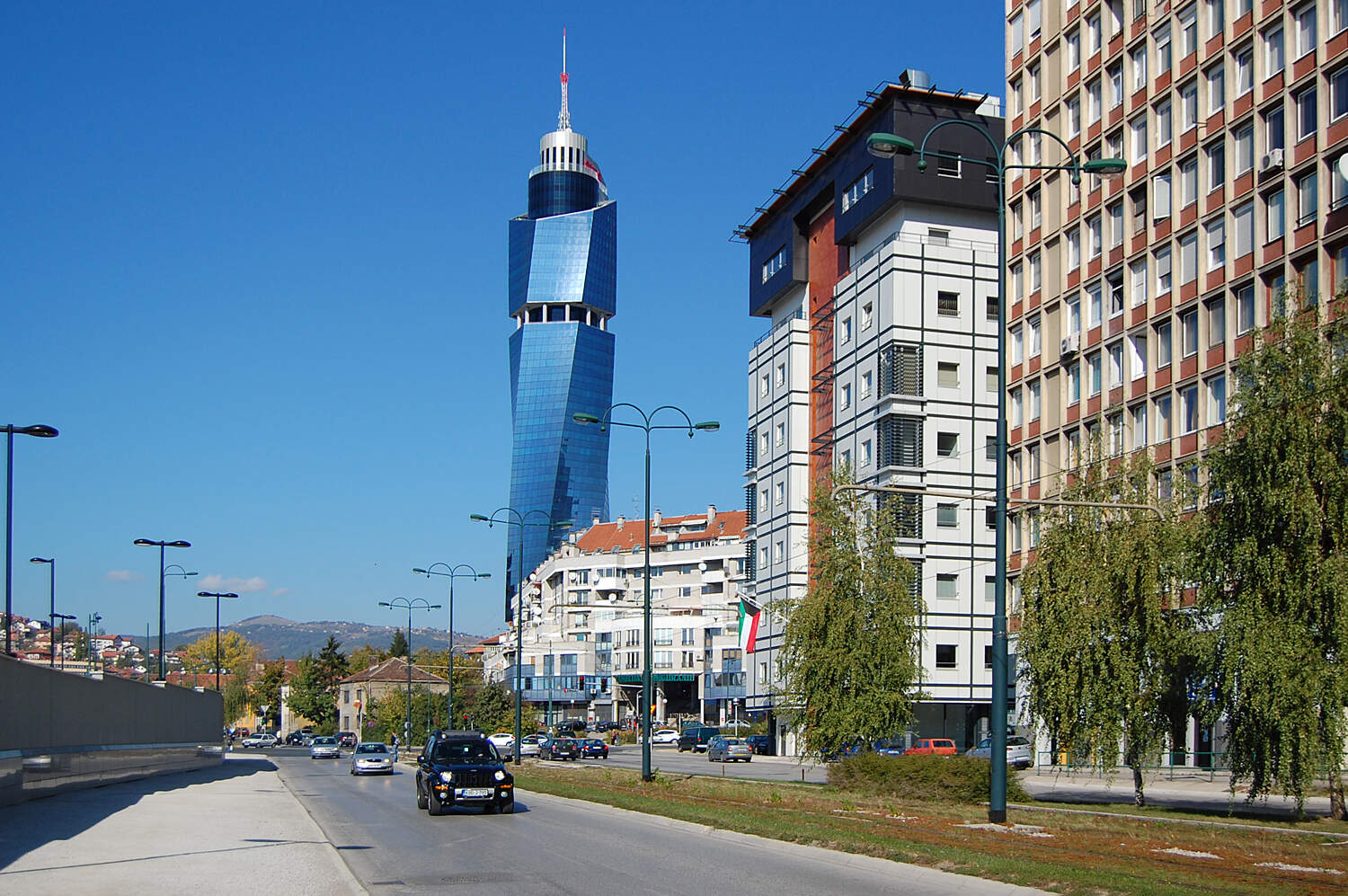
巴尼亚卢卡[2](塞尔维亚语:Бања Лука/Banja Luka,发音:[bǎɲa lǔːka] (ⓘ)),又译班雅卢卡,是波斯尼亚和黑塞哥维纳实体之一塞族共和国的城市及市镇,位于该国西北部弗尔巴斯河畔。为该国第二大城市,塞族共和国第一大城市及其事实上的首府。巴尼亚卢卡是波斯尼亚地区西北部森林茂密的波什尼亚克拉伊纳地区的传统中心城市。
Banja Luka (serbisch-kyrillisch Бања Лука, Luka) ist eine Stadt im Norden von Bosnien und Herzegowina und Regierungssitz der Republika Srpska. Die Stadt ist Sitz eines serbisch-orthodoxen und römisch-katholischen Bistums sowie der Universität Banja Luka.