漢德百科全書 | 汉德百科全书
 England
 Sport
Sport


New Scotland Yard [ˈnjuːˌskɒtlənd ˈjɑːd] (englisch für „neuer schottischer Hof“), häufig kurz Scotland Yard oder auch nur Yard genannt, ist ein Gebäude im Londoner Stadtteil City of Westminster. Zudem ist Scotland Yard eine übliche Bezeichnung (Metonym) für die in diesem Gebäude residierende Polizeibehörde Metropolitan Police Service (MPS).
Diese ist zuständig für Greater London mit Ausnahme der City of London, die als selbstständige Stadt mit der City of London Police über eine eigene Polizeibehörde verfügt. Neben den allgemeinen Polizeiaufgaben führt der MPS auch eine Datenbank über alle Straftäter im Vereinigten Königreich, unterstützt auf Anforderung die regionalen Polizeikräfte bei den Ermittlungen und gibt Hilfestellung bei der Aus- und Weiterbildung aller Polizeikräfte des Commonwealth. Umgangssprachlich ist im deutschsprachigen Raum mit „Scotland Yard“ meist die Londoner Kriminalpolizei gemeint.
Das als New Scotland Yard bezeichnete Hauptquartier befindet sich seit 2016 wieder am Victoria Embankment, unweit der U-Bahn-Station Westminster.
苏格兰场(英语:Scotland Yard,又称New Scotland Yard、The Yard),是英国人对首都伦敦警务处总部所在地的一个转喻式称呼。
苏格兰场负责维持包括整个大伦敦地区的公共治安及交通秩序,但伦敦市除外,该区的警务由伦敦市警察管辖。
历史上伦敦警务处总部曾3度搬迁,现时的总部大楼位于伦敦维多利亚堤岸[1],彼邻英国政府中枢所在地白厅。该建筑曾为伦敦警务处旧总部的一部分,经翻新后于2016年正式启用。苏格兰场本身既不是位于苏格兰,也不负责苏格兰的警备。苏格兰场这个名字源自1829年,当时坐落在白厅广场4号的伦敦警察厅开设有一扇后门,而后门正对著一条名为“大苏格兰场”(Great Scotland Yard,该地点可能是苏格兰和英格兰合并组成联合王国之前,苏格兰国王访问英格兰时使用的宫殿或苏格兰王国驻英格兰大使专用宫殿)的街道上[2]。其后这扇后门变成了警察厅的公众入口,而“苏格兰场”也渐渐成为了伦敦警方的代名词。
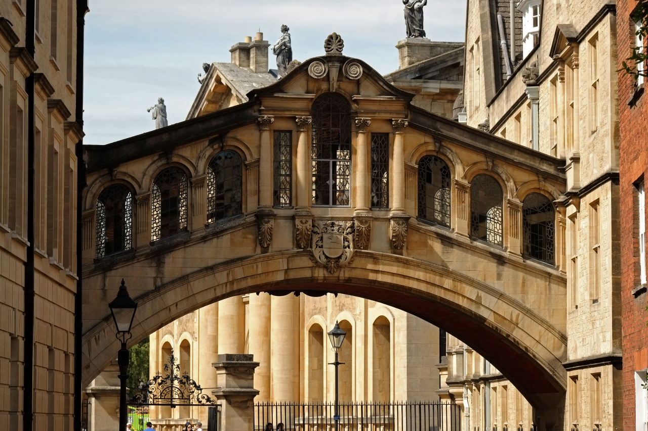
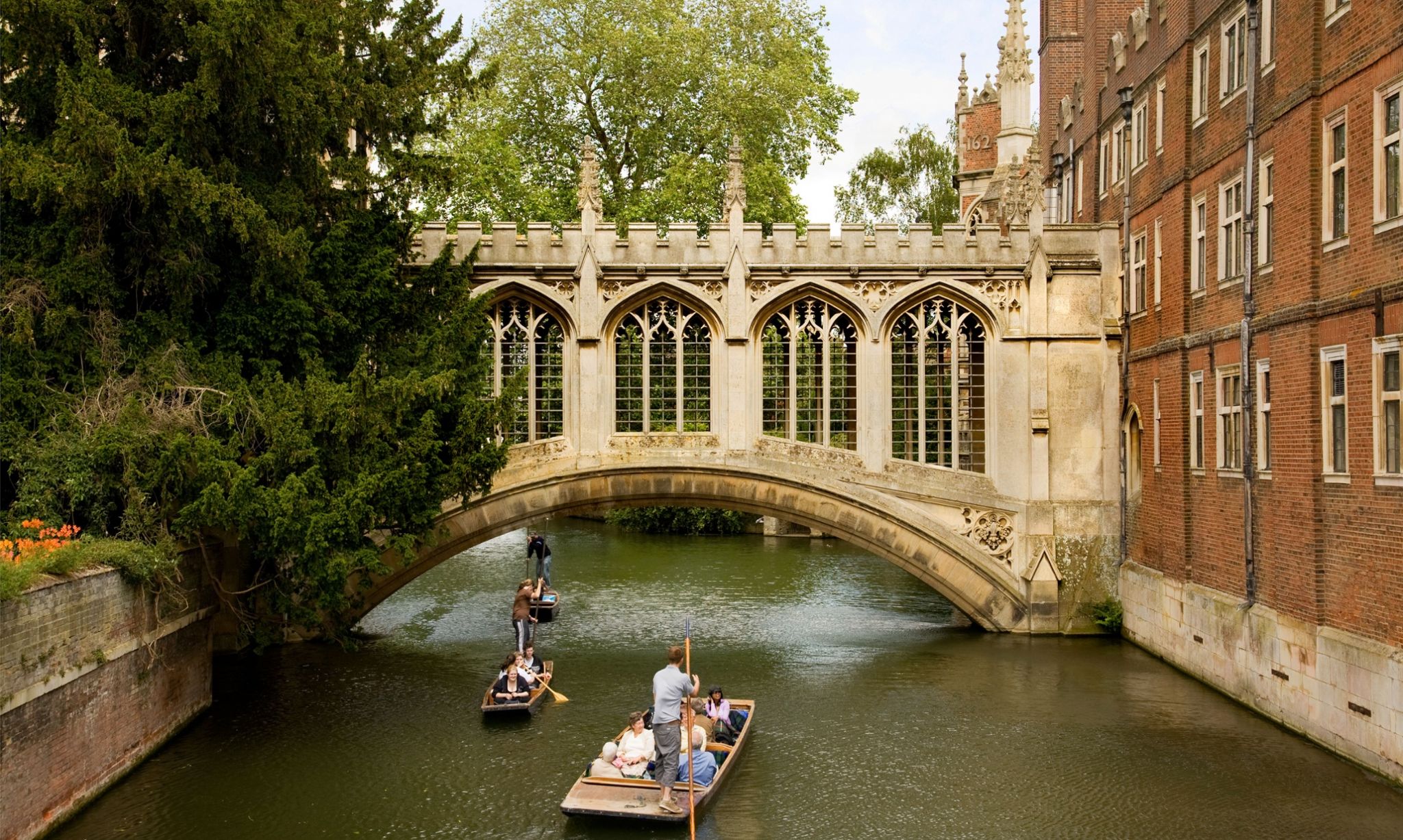
 Architecture

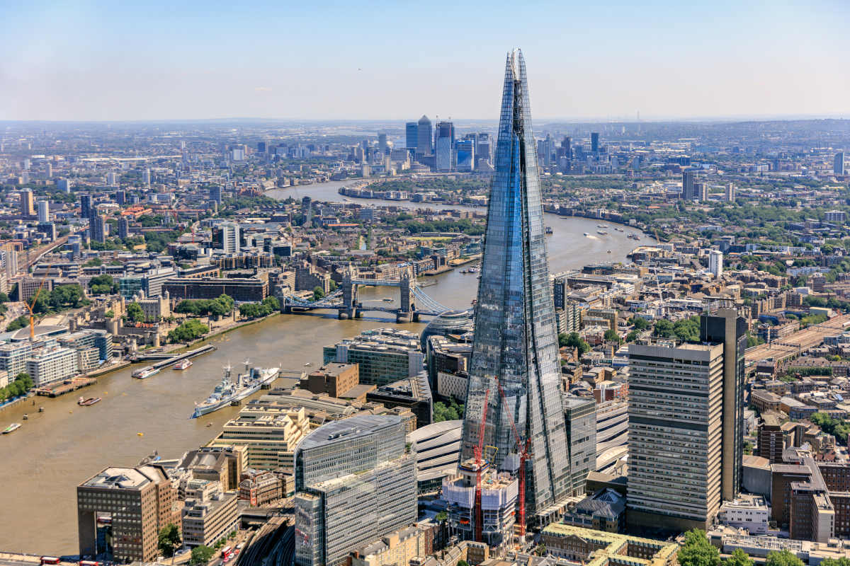
The Shard, auch Shard London Bridge (vormals London Bridge Tower, auch Shard of Glass; von englisch shard ‚Scherbe‘, ‚Splitter‘), ist ein Wolkenkratzer in Londons Stadtteil Southwark, der mit 310 Meter von Juli bis Oktober 2012 das höchste Gebäude Europas war und derzeit das höchste Gebäude der EU ist. Der verzögerte Baubeginn erfolgte am 16. März 2009, die Einweihung war am 1. Februar 2013. Die endgültige Bauhöhe von 310 Metern wurde am 30. März 2012 durch Aufsetzen einer stählernen Spitze als letztes Bauelement erreicht.
 International cities

 History
 Religion

 Geography


Das Tower Hill Memorial ist ein Paar von Gedenkstätten der Commonwealth War Graves Commission in den Trinity Square Gardens auf dem Tower Hill in London, England. Die Denkmäler, eines für den Ersten und eines für den Zweiten Weltkrieg, erinnern an Zivilisten, Handelsseeleute und Fischer, die durch feindliche Handlungen ums Leben gekommen sind und kein bekanntes Grab haben. Das erste, das Mercantile Marine War Memorial, wurde von Sir Edwin Lutyens entworfen und 1928 eingeweiht; das zweite, das Merchant Seamen's Memorial, wurde von Sir Edward Maufe entworfen und 1955 eingeweiht. Ein drittes Denkmal, das an die im Falklandkrieg 1982 gefallenen Handelsseeleute erinnert, wurde 2005 eingeweiht.
 Art
Art
 Museum


Die Themse (englisch River Thames [tɛmz]; in der Antike lateinisch Tamesis, bei Tacitus auch lateinisch Tamesa oder altgriechisch Τάμεσα Támesa bei den griechischen Geographen) ist ein durch Südengland fließender Fluss, der London mit der Nordsee (Mündung) verbindet. Nach dem Severn ist die Themse mit 346 km der zweitlängste Fluss in Großbritannien.
Trotz ihrer Bekanntheit und ihrer Flusslänge wird die Themse meist nicht zu den großen europäischen Flüssen gezählt. Der mittlere Abfluss in Kingston upon Thames beträgt 66 m³/s, dies ist weniger als zum Beispiel die Wasserführung der Ruhr oder der Ems. Weil sie – auch im Stadtgebiet Londons – durchaus breit ist, fließt sie sehr langsam.
泰晤士河(英语:River Thames,![]() i/tɛmz/,TEMZ)是位于南英格兰的一条河流,全长约346公里,流经英格兰的三个郡,为英格兰最长之河流、英国第二长河,次于354公里的塞文河,也是全世界水面交通最繁忙的都市河流和伦敦地标之一。在泰晤士流域形成了许多英格兰城市,除去伦敦之外,还有牛津、雷丁和温莎等。
i/tɛmz/,TEMZ)是位于南英格兰的一条河流,全长约346公里,流经英格兰的三个郡,为英格兰最长之河流、英国第二长河,次于354公里的塞文河,也是全世界水面交通最繁忙的都市河流和伦敦地标之一。在泰晤士流域形成了许多英格兰城市,除去伦敦之外,还有牛津、雷丁和温莎等。
泰晤士河在英国有非常重要的经济地位,在工业革命之后因为大规模的河上运输导致河流污染,因而引发了包括瘟疫、大恶臭等一系列的问题,随着重工业的减少其情况已经改善了许多。
而其于英国文化意义也不可忽视。泰晤士河是许多英国水上运动,如牛津剑桥赛艇对抗赛、1908年夏季奥运会划艇赛、1948年夏季奥运会划艇赛的举办地。《柳林风声》等文学作品也是以泰晤士河流域的风物为背景写成的。
テムズ川(River Thames ![]() [temz])は、南イングランドを流れる川であり、ロンドンを海とつないでいる。代表的なエスチュアリーの入り江をつくる河川である。テームズ川とも表記される。
[temz])は、南イングランドを流れる川であり、ロンドンを海とつないでいる。代表的なエスチュアリーの入り江をつくる河川である。テームズ川とも表記される。
ルネサンス期にギリシア語が語源であるという誤った認識が広まり、読み方を変えずにTemeseからThamesに綴りが変更されている。
The River Thames, (/tɛmz/ (![]() listen) TEMZ) known alternatively in parts as the Isis is a river that flows through southern England including London. At 215 miles (346 km), it is the longest river entirely in England and the second longest in the United Kingdom, after the River Severn.
listen) TEMZ) known alternatively in parts as the Isis is a river that flows through southern England including London. At 215 miles (346 km), it is the longest river entirely in England and the second longest in the United Kingdom, after the River Severn.
It flows through Oxford (where it is called the Isis), Reading, Henley-on-Thames and Windsor. The lower reaches of the river are called the Tideway, derived from its long tidal reach up to Teddington Lock. It rises at Thames Head in Gloucestershire, and flows into the North Sea via the Thames Estuary. The Thames drains the whole of Greater London.[1]
Its tidal section, reaching up to Teddington Lock, includes most of its London stretch and has a rise and fall of 7 metres (23 ft). Running through some of the driest parts of mainland Britain and heavily abstracted for drinking water, the Thames' discharge is low considering its length and breadth: the Severn has a discharge almost twice as large on average despite having a smaller drainage basin. In Scotland, the Tay achieves more than double the Thames' average discharge from a drainage basin that is 60% smaller.
Along its course are 45 navigation locks with accompanying weirs. Its catchment area covers a large part of south-eastern and a small part of western England; the river is fed by 38 named tributaries.[citation needed] The river contains over 80 islands. With its waters varying from freshwater to almost seawater, the Thames supports a variety of wildlife and has a number of adjoining Sites of Special Scientific Interest, with the largest being in the remaining parts of the North Kent Marshes and covering 5,449 hectares (13,460 acres).[2]
La Tamise (en anglais : Thames [ˈtemz]) est un fleuve du sud de l'Angleterre, qui se jette dans la mer du Nord.
D'une longueur totale de 346 km, c’est le plus long fleuve dont le cours se trouve entièrement en Angleterre (qui à la fois commence et finit en Angleterre) et le second plus long pour le Royaume-Uni (après la Severn). La Tamise prend sa source à Thames Head, dans le Gloucestershire, puis coule en direction de l'est, vers Oxford et Reading, puis traverse Londres, dont elle tire sa renommée et aboutit enfin dans la mer du Nord, grâce à son estuaire.
La marée remonte jusqu'à Teddington Lock (en). Le bassin versant recouvre une grande partie du sud-est et de l'ouest de l’Angleterre. La Tamise est alimentée par de nombreux affluents et est parsemée de plus de 80 îles. La faune et la flore y sont très variées, grâce à de grandes étendues d’eau douce et d’eau de mer à la fois.
L'activité humaine a profité de la Tamise pendant des milliers d’années pour en tirer son eau, sa nourriture, et son énergie. Le fleuve est une voie commerciale majeure pour le commerce international grâce au port de Londres, et le système britannique des canaux (en) permet d’en faire profiter le reste de son cours. La position stratégique de la rivière en a fait un lieu central de l’histoire de l'Angleterre et du Royaume-Uni1.
Plus récemment, la rivière est devenue une aire majeure de loisirs grâce au tourisme et aux sports, tels l'aviron, la voile, le kayak, le skiff et la péniche. La rivière a un attrait particulier auprès des écrivains, des peintres, des musiciens et des réalisateurs de cinéma. Elle est encore l’objet de nombreux débats, à propos de son tracé, de sa nomenclature et de son histoire.
Il Tamigi (AFI: /taˈmiʤi/[1]; in inglese Thames, pron. /tɛmz/, dal latino Tamĕsis) è un fiume dell'Inghilterra meridionale che attraversa Londra e sfocia ad est nel Mare del Nord: ancorché non sia il maggiore per lunghezza e portata, è da considerare di gran lunga il primo fiume del Regno Unito per importanza storica ed economica. Il suo bacino idrografico è abitato da circa 15 milioni di persone.
El río Támesis (del latín Taměsis; en inglés, River Thames, pronunciado /tɛmz/) es un río del sur de Inglaterra. Nace en el condado de Gloucestershire, pasa por Oxford, Eton y Londres y desemboca en el mar del Norte. Su longitud es de 346 km. Hoy en día es el río más importante de Inglaterra y la principal fuente de abastecimiento de agua en Londres.
Те́мза (англ. Thames [ˈtɛmz], лат. Tamesis, в пределах Оксфорда также А́йзис, англ. Isis) — река на юге Великобритании.
Длина — 334 км, площадь бассейна — 15 300 км². Средний расход воды — 65,8 м³/с.[источник не указан 545 дней]
Берёт начало на возвышенности Котсуолд-Хилс (высота истока — 110 м над уровнем моря[источник не указан 545 дней]), протекает в черте Лондона, впадает в Северное море, образуя эстуарий. Ширина реки в черте Лондона 200—250 м, ширина эстуария от 650 м (близ восточной окраины Лондона) до 16 км (близ устья). Питание дождевое. Средний расход воды в низовьях 260 м³/с, максимальный — зимой.
Ледостав наблюдается лишь в очень холодные зимы. Нижнее течение Темзы подвержено влиянию приливов (их высота в Лондоне до 6—6,5 м), которые достигают Теддингтона (где русло Темзы перегорожено плотиной). Для защиты прилегающих к Темзе территорий от наводнений берега нижнего течения реки и эстуария укреплены защитными дамбами, а в городах — набережными.
Судоходна почти на всём протяжении; небольшие баржи доходят до города Лечлейд (311 км от устья). До Лондона поднимаются суда водоизмещением до 800 т, а океанские суда доходят до города Тилбери. На Темзе — столица Великобритании город Лондон, города Оксфорд, Рединг.
Темза соединена старыми каналами (Оксфордский канал и др.) с Бристольским заливом, Ирландским морем и промышленными районами центральной части страны. На Темзе регулярно проводится Королевская регата Хенли.