Deutsch-Chinesische Enzyklopädie, 德汉百科
 Portugal
 Geography
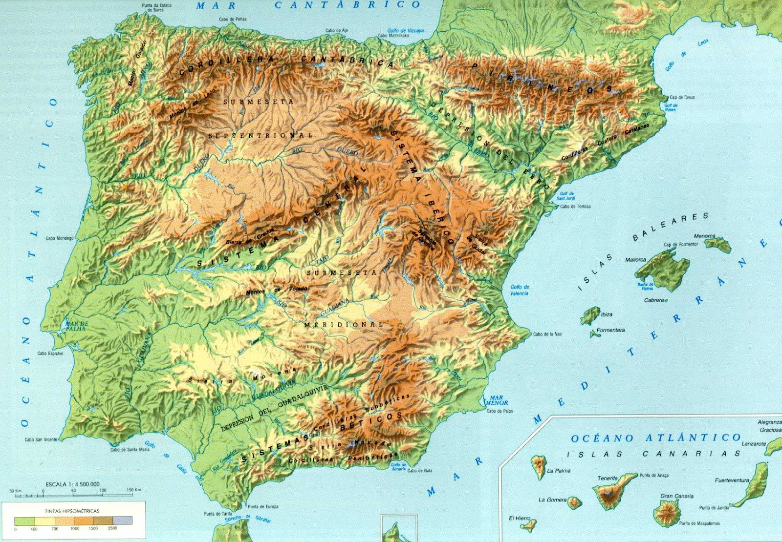
La penisola iberica si trova all'estrema propaggine sud-occidentale dell'Europa; ha una superficie di 583 000 km² ed è amministrativamente divisa tra quattro Paesi, benché i due maggiori, Spagna e Portogallo, ne assommino da soli quasi tutta l'estensione. Andorra è il più piccolo Paese indipendente della penisola, mentre Gibilterra è un territorio d'oltremare britannico. La popolazione ammonta a 56.730.914 abitanti[2].
Separa il Mar Mediterraneo dall'Oceano Atlantico e ha un confine naturale parziale con Francia nella catena dei Pirenei. La sua forma è rozzamente rettangolare e per effetto di ciò gran parte del suo territorio è lontana dal mare, il che causa nette differenze climatiche fra le parti costiere e quelle più interne. Il nome della regione deriva dagli Iberi, denominazione degli antichi abitanti del luogo (originari di tale regione) attribuita da Erodoto.
La península ibérican 1 se encuentra situada en el sudoeste de Europa; está rodeada por el mar Mediterráneo y el océano Atlántico, uniéndose al resto del continente por el noreste. Es una de las tres grandes penínsulas meridionales de Europa, junto a la itálica y la balcánica y mide aproximadamente 596 740 km².[cita requerida] Tradicionalmente se ha establecido la frontera de la península en la cordillera pirenaica, si bien el istmo se encuentra situado en la línea recta que une el punto central de los golfos de Vizcaya y León —entre las respectivas costas de las ciudades de Bayona y Narbona—, quedando por tanto comprendida una franja meridional de territorio francés al sur del istmo. 1
Пирене́йский полуо́стров (также Ибери́йский; исп. , порт. , галис. , астур. península Ibérica, баск. Iberiar penintsula, араг. peninsula Iberica, кат. península Ibèrica, эстр. península Ibérica, фр. péninsule Ibérique, англ. Iberian peninsula, лат. Iberia paeninsula) — полуостров на юго-западе Европы.
Полуостров омывается Средиземным морем, Атлантическим океаном и Бискайским заливом. На юге отделён от Африки Гибралтарским проливом. Самый южный и западный из трёх южных полуостровов Европейского континента (Пиренейский, Апеннинский и Балканский)[1]. На полуострове находятся крайние западная (мыс Рока) и южная (мыс Марроки) точки континентальной Европы. Назван по Пиренейским горам, окаймляющим полуостров на северо-востоке. Альтернативное название «Иберийский» связано с народом иберов, обитавших на востоке полуострова (территория современной Каталонии) в эпоху, предшествующую приходу римлян.
 Education and Research
Education and Research
Education and Research
 ***Foreign language study
Education and Research
*Portuguese language institutes and schools
Portugal
***Foreign language study
Education and Research
*Portuguese language institutes and schools
Portugal

 CESAER
 Colleges and Universities in Europe

 Science and technology
 Agriculture, forestry, livestock, fishing

 Driving school
Egypt
Australia
Belgium
Brazil
Denmark
Germany
Finland
France
Greece
Driving school
Egypt
Australia
Belgium
Brazil
Denmark
Germany
Finland
France
Greece
 Hand in Hand
Driver's license
India
Indonesia
Italy
Japan
Canada
Kasachstan
Croatia
Malaysia
Mexico
Hand in Hand
Hand in Hand
Driver's license
India
Indonesia
Italy
Japan
Canada
Kasachstan
Croatia
Malaysia
Mexico
 Mongolei
New Zealand
Netherlands
Useful info
Austria
Portugal
Republic of Korea
Russia
Saudi Arabia
Sweden
Switzerland
Singapore
Spain
South Africa
Thailand
Czech Republic
Turkey
Hungary
Mongolei
New Zealand
Netherlands
Useful info
Austria
Portugal
Republic of Korea
Russia
Saudi Arabia
Sweden
Switzerland
Singapore
Spain
South Africa
Thailand
Czech Republic
Turkey
Hungary
 Vacation and Travel
United Arab Emirates
United States
United Kingdom
Vacation and Travel
United Arab Emirates
United States
United Kingdom
国际驾驶执照(International Driving Permit)依照1949年日内瓦国际道路交通公约及1968年维也纳国际道路交通公约,由公约签署国政府签发,方便本国驾驶员在其他签约国驾驶私人车辆。国际驾驶执照为附加在一国驾驶执照之上的一本附加多国语言的说明,标注了驾驶人的基本信息以及允许驾驶的对应车辆种类等,解决驾驶员与其他国家的交通管理部门之间的沟通障碍。国际驾照不能独立存在,当驾驶员同时持有一国驾照与该国政府签发的国际驾照时,此国际驾照才视作有效。[1]
国际驾驶执照之内容及格式依照维也纳道路交通会议制订,但并非各国均批准该公约。
Ein Internationaler Führerschein ist ein Dokument, das von den Straßenverkehrsbehörden oder Automobilclubs[1] eines Landes aufgrund zwischenstaatlicher Verträge ausgestellt wird. Er soll vor allem der Polizei eines anderen Landes die Feststellung ermöglichen, ob ein ausländischer Kraftfahrer die Fahrerlaubnis hat, die für sein aktuelles Fahrzeug erforderlich ist.
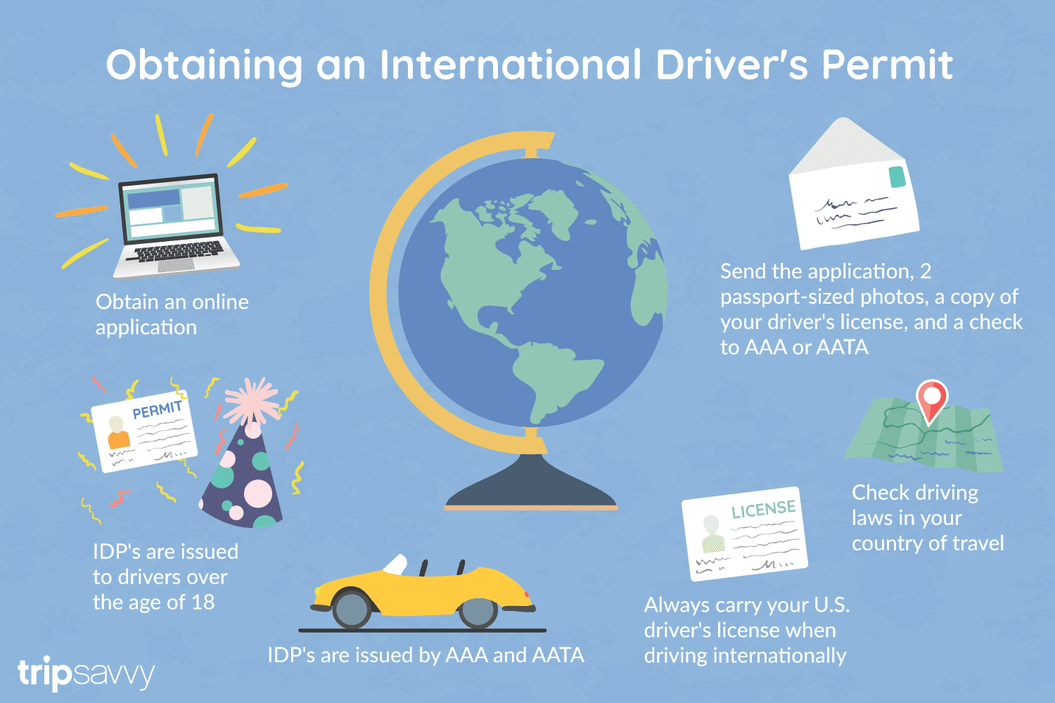
An International Driver's Permit (IDP) allows you to drive a vehicle in another country, as long as you also have a valid driver's license issued by your state. It is also recognized as a proper form of identification in over 175 countries and by many major car rental companies internationally.
Getting an International Driver's Permit (sometimes incorrectly called an international driver's license) can take anywhere from a day to a few weeks, depending on whether you're going through walk-in processing or applying via mail, so make sure to plan ahead if you're planning to drive on your international trip. There are only two locations in the United States that issue these documents: The American Automobile Association (AAA) and the American Automobile Touring Alliance (AATA).
In the United States, International Driver Permits (IDPs) are only issued by the American Automobile Association and the American Automobile Touring Alliance, and the State Department recommends against purchasing an IDP from other outlets as they are all entirely illegal to buy, carry, or sell.
IDPs can be issued to anyone over 18 who has had a valid driver's license for six months or longer. They typically remain valid for one year or the expiration of your existing state driving license. It's essential to investigate an IDP before your trip and make sure you know the requirements.
Both AAA and AATA are excellent sources for these documents, so once you've selected a provider, go to either the AAA's or NAATA's website, print out the International Driving Permit Application, complete all applicable fields, and submit it.
Once you have the application completed, you can send it in via the mail or visit a local office of an organization like AAA; you'll also need two original passport-sized photos and a signed copy of your valid U.S. driver's license as well as an enclosed check for the fee.
Tips to Getting and Using Your Permit
AAA offices can process IDPs during your visit, but processing generally takes 10 to 15 business days if you send the application in. However, expedited services may be available to get your license within one or two business days for an additional fee.
When applying, you'll need a computer and printer, a completed application, a copy of your valid U.S. driver's license, two passport photos, and a check, money order, or credit card to complete the process. Remember to bring these with you if you're applying in person.
Always make sure to carry your valid United States driver's license when driving internationally, as your IDP is invalid without this accompanying proof of eligibility to drive. IDPs only translate domestically-accepted licenses and do not allow those without government-issued driver's licenses to drive abroad.
You'll also want to make sure to enclose the proper fees (the fee for the IDP, as well as any shipping and handling fees), photos, and photocopies of your license when submitting your application to AAA or AATA as omitting any of these required documents will result in your application being rejected.
You should also check the driving requirements and laws for the countries you will be driving in on your vacation, so you'll know what will be required in the event you get stopped by local authorities. (Quelle:https://www.tripsavvy.com/)
 Sport
*U.S. foreign territories
Australia
China
Germany
France
ITU World Championship Series
Japan
Canada
Kasachstan
Mexico
New Zealand
Netherlands
Austria
Portugal
Republic of Korea
Sweden
Switzerland
Spain
South Africa
Hungary
United Arab Emirates
United States
United Kingdom
United Kingdom
Bermuda
Sport
*U.S. foreign territories
Australia
China
Germany
France
ITU World Championship Series
Japan
Canada
Kasachstan
Mexico
New Zealand
Netherlands
Austria
Portugal
Republic of Korea
Sweden
Switzerland
Spain
South Africa
Hungary
United Arab Emirates
United States
United Kingdom
United Kingdom
Bermuda

 World Heritage
Alsace-Champagne-Ardenne-Lorraine
World Heritage
Alsace-Champagne-Ardenne-Lorraine
 Andalusia
Aquitaine-Limousin-Poitou-Charentes
Andalusia
Aquitaine-Limousin-Poitou-Charentes
 Aragón
 Asturias
 Auvergne-Rhône-Alpes
 Baden-Wuerttemberg
 Bavaria
Belgium
Bavaria
Belgium
 Berlin
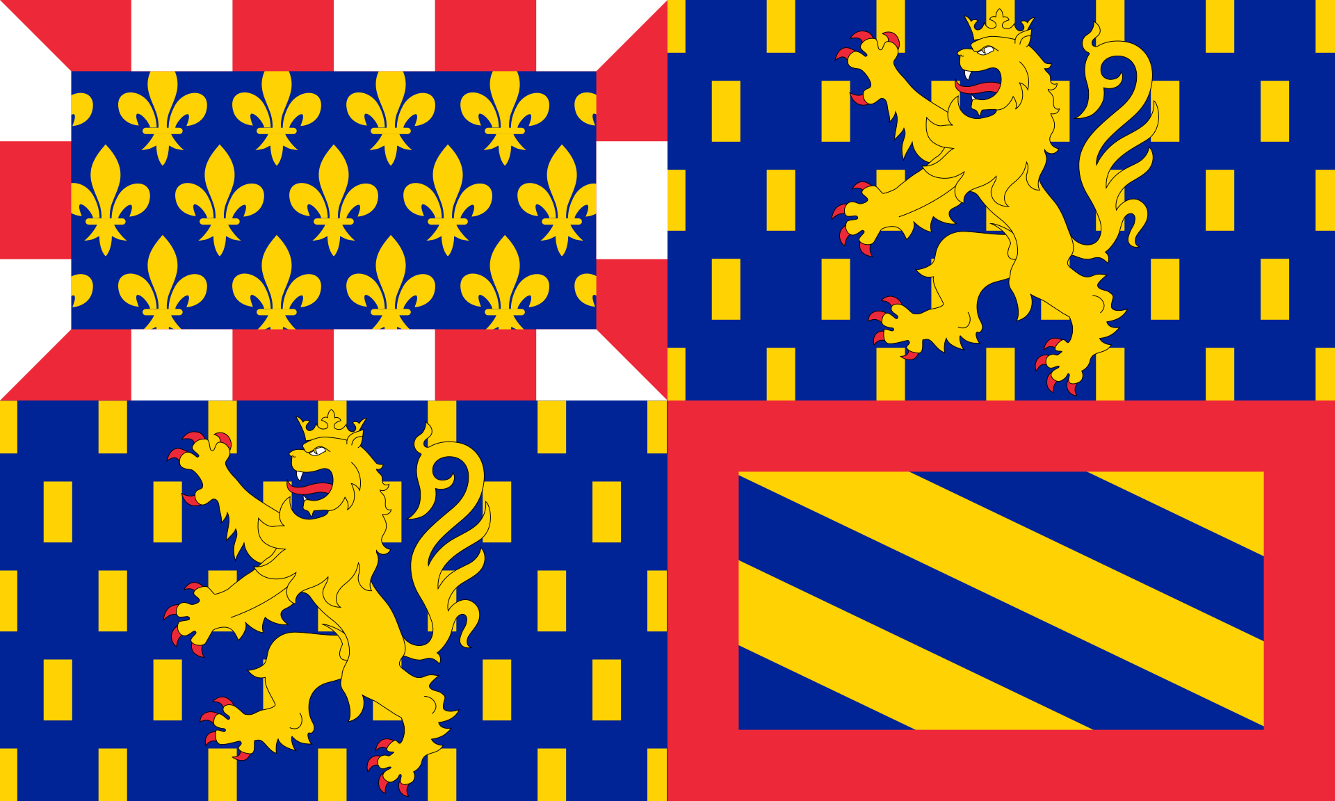 Bourgogne-Franche-Comté
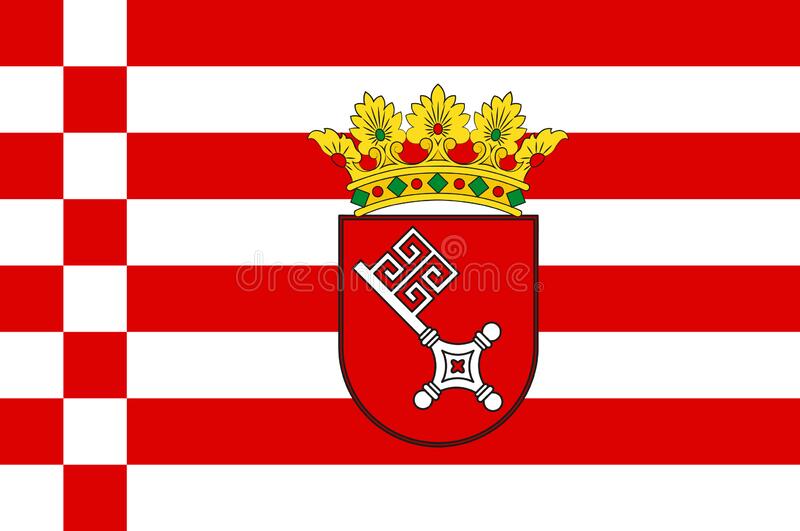 Bremen
 Bretagne
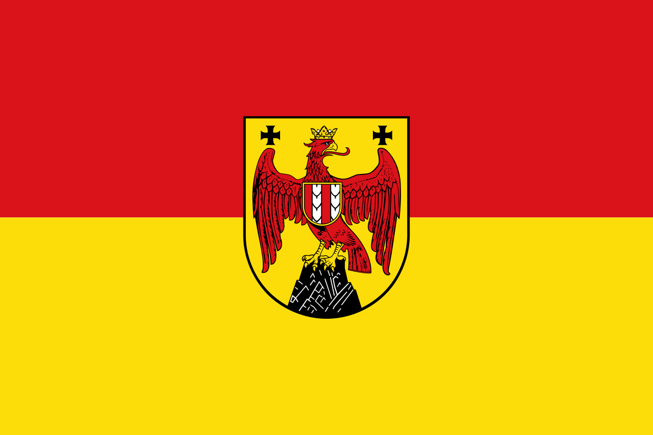 Burgenland
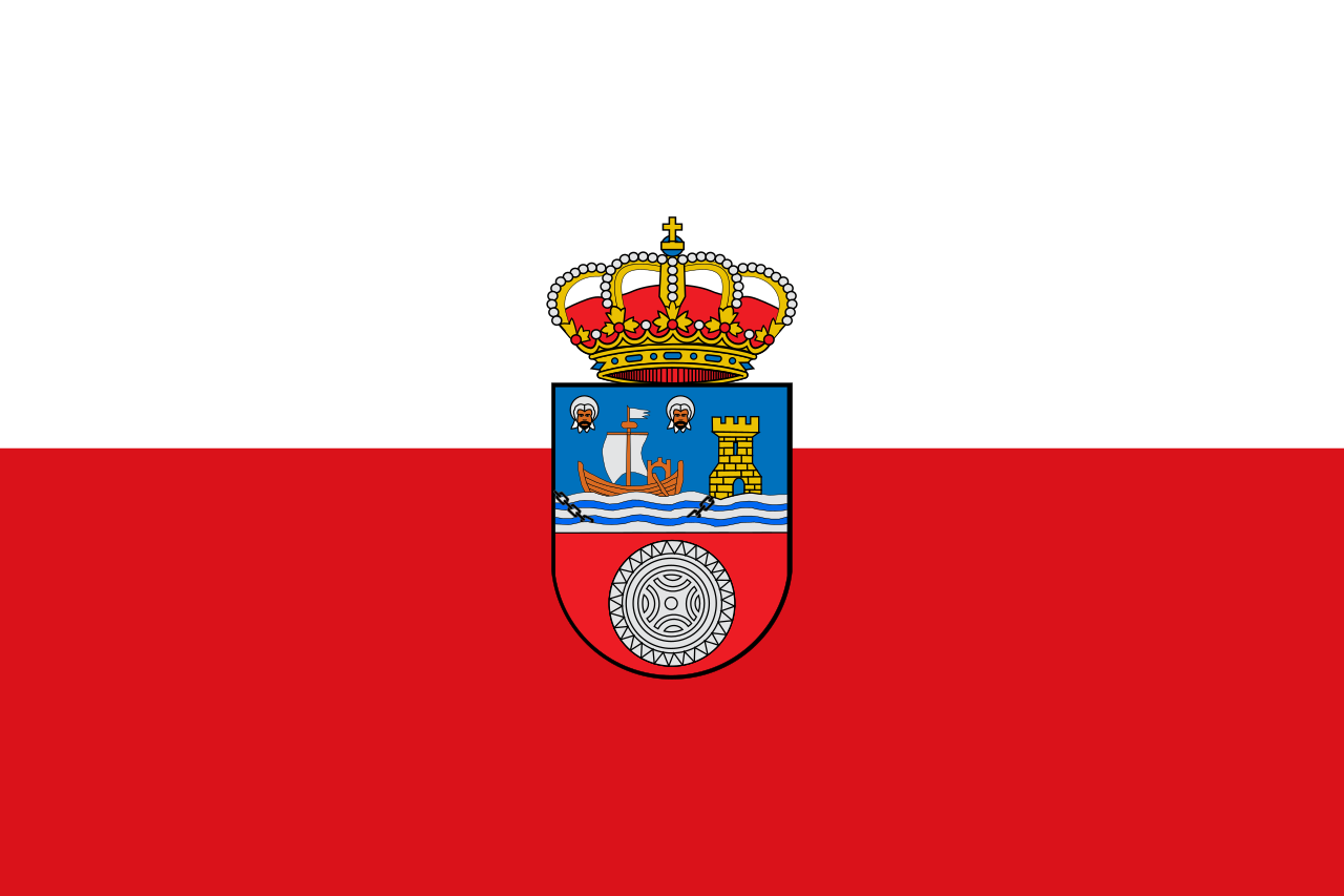 Cantabria
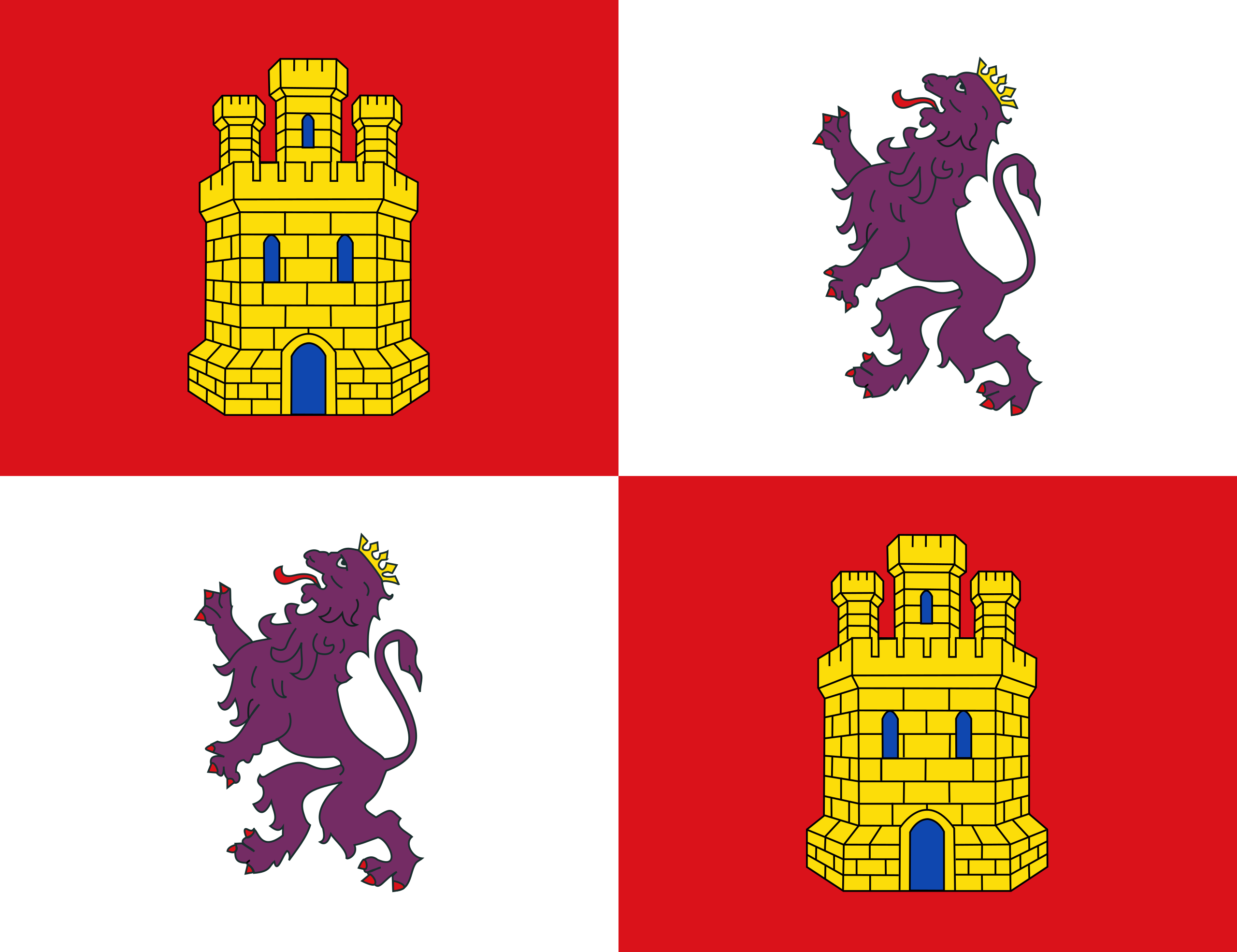 Castilla y León
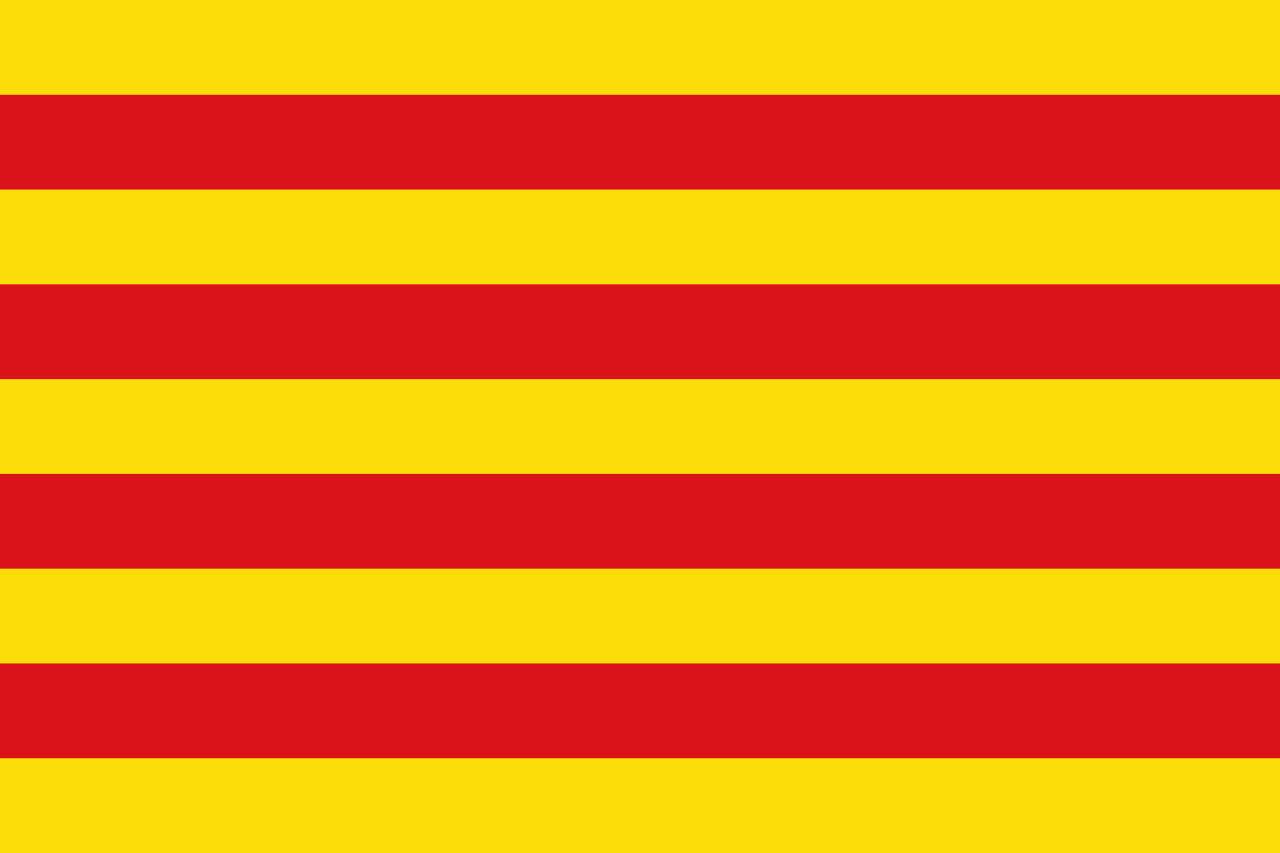 Cataluña
 Centre-Val de Loire
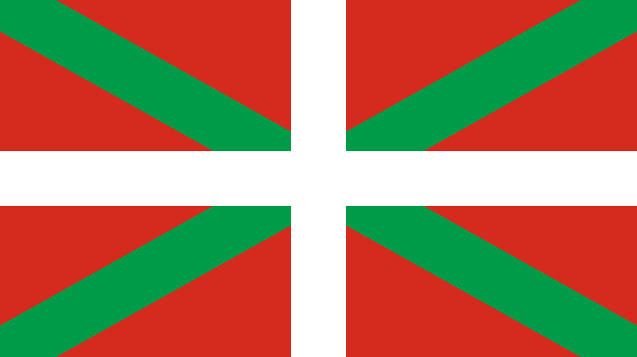 Comunidad Autónoma del País Vasco
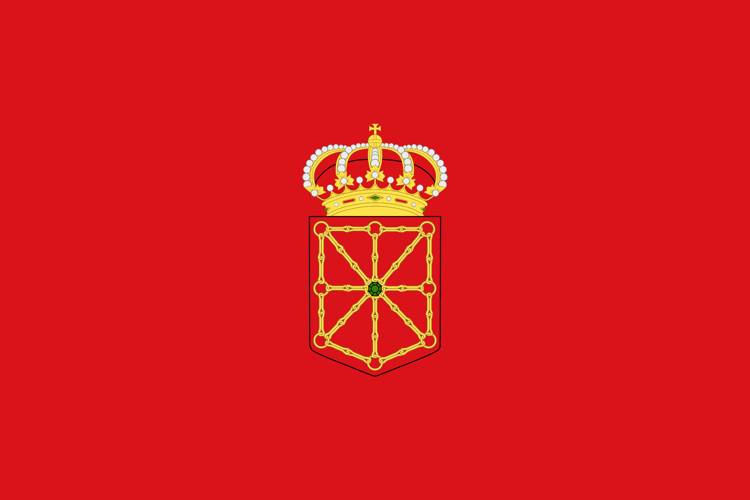 Foral Community of Navarra
 Corse
Germany
England
France
Corse
Germany
England
France
 Galicia
 Grand Est
 Hamburg
 Hessen
 Ile-de-France
Italy
Ile-de-France
Italy
 Carinthia
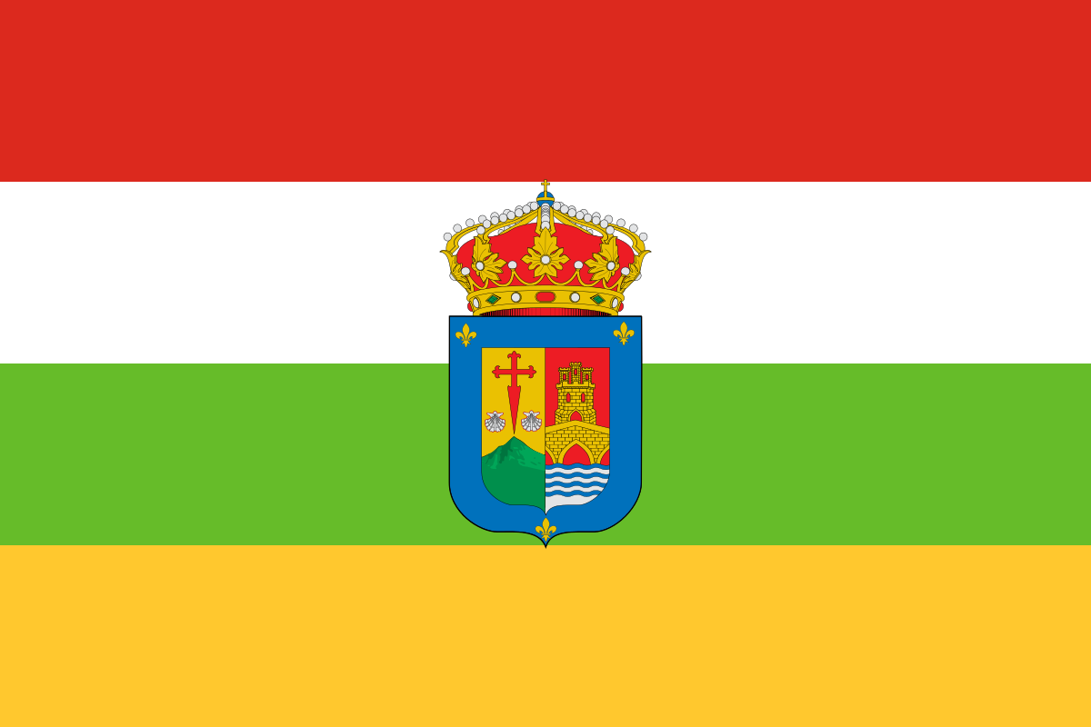 La Rioja
Languedoc-Roussillon-Midi-Pyrénées
Luxembourg
La Rioja
Languedoc-Roussillon-Midi-Pyrénées
Luxembourg
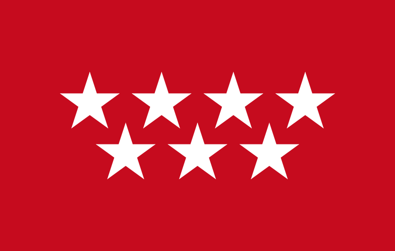 Madrid
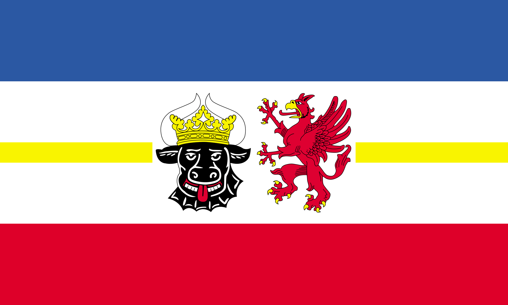 Mecklenburg-Vorpommern
Netherlands
Mecklenburg-Vorpommern
Netherlands
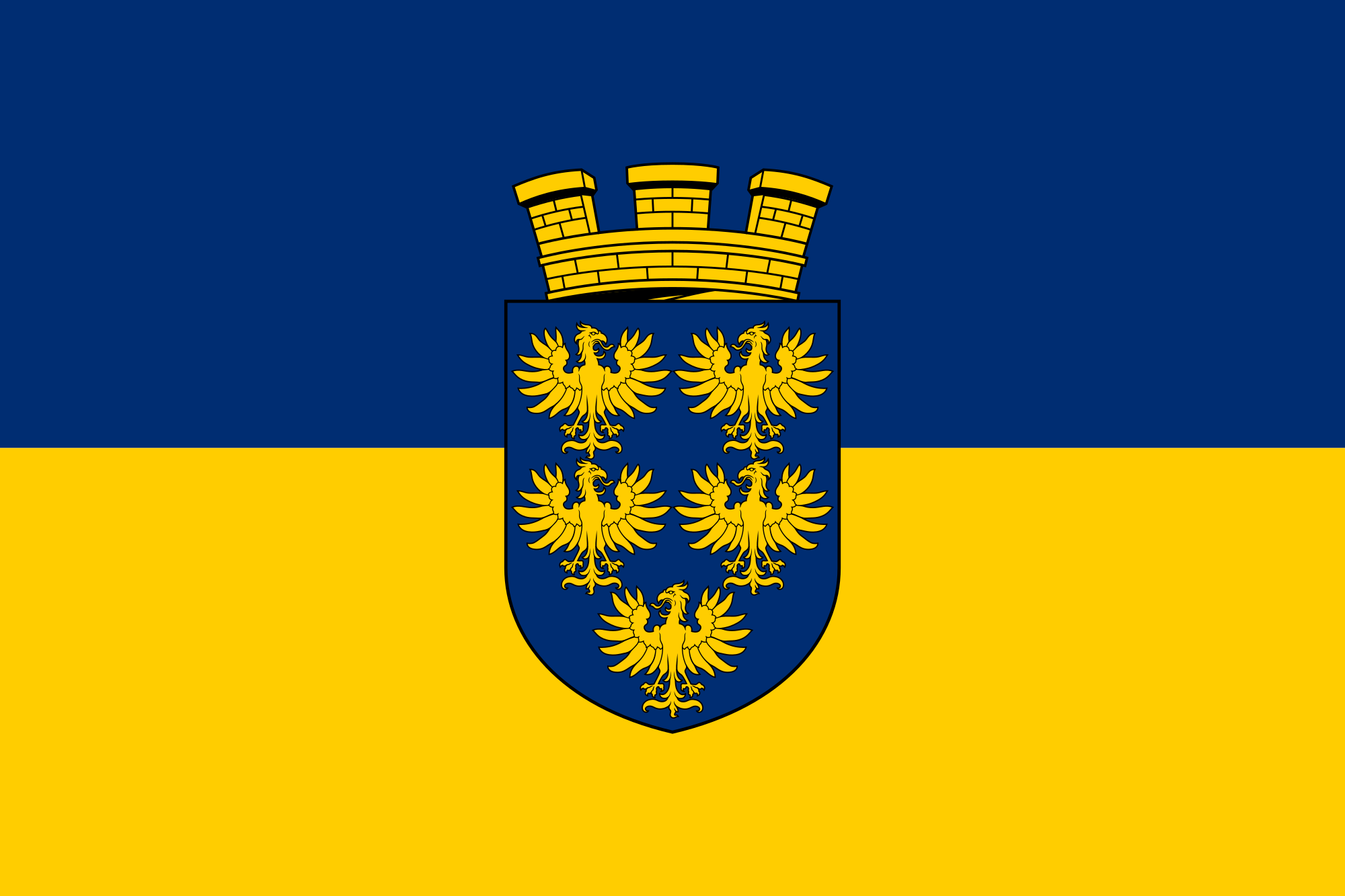 Lower Austria
 Lower Saxony
Nord-Pas-de-Calais-Picardie
Lower Saxony
Nord-Pas-de-Calais-Picardie
 North Rhine-Westphalia
 Normandie
 Upper Austria
 Occitania
Austria
Occitania
Austria
 Pays-de-la-Loire
Poland
Portugal
Pays-de-la-Loire
Poland
Portugal
 Provence-Alpes-Côte d´Azur
 Religion
 Rhineland-Palatinate
 Review
 Saarland
 Saxony
 Saxony-Anhalt
 Salzburg
 Schleswig-Holstein
Switzerland
Spain
Schleswig-Holstein
Switzerland
Spain
 Styria
 Thuringia
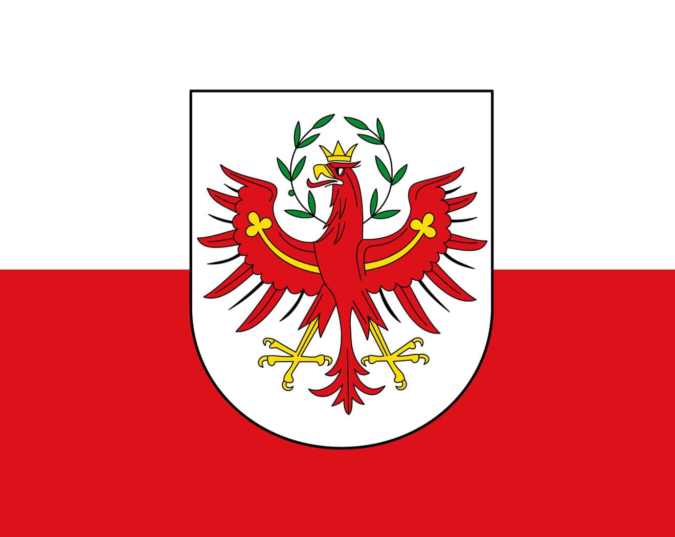 Tyrol
Czech Republic
Vacation and Travel
United Kingdom
Tyrol
Czech Republic
Vacation and Travel
United Kingdom
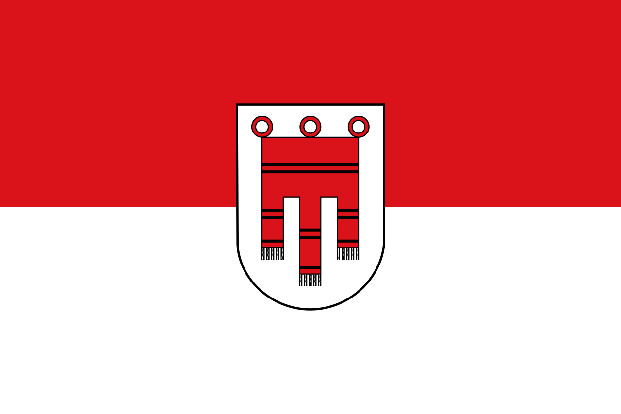 Vorarlberg
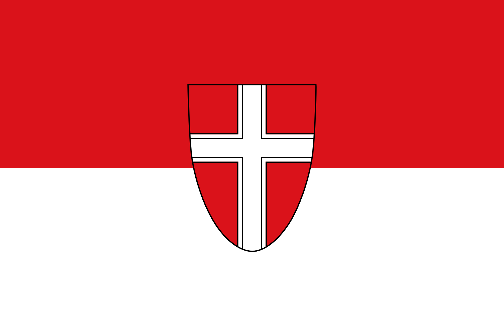 Vienna

圣雅各之路或圣地牙哥朝圣之路(西班牙语:El Camino de Santiago)是前往基督教的圣地之一西班牙加利西亚圣地牙哥康波斯特拉的朝圣之路。主要指从法国各地经由比利牛斯山通往西班牙北部之道路,是联合国教科文组织所登录的世界遗产。
Als Jakobsweg (spanisch Camino de Santiago, galicisch: Camiño de Santiago) wird eine Anzahl von Pilgerwegen durch ganz Europa bezeichnet, die alle das angebliche Grab des Apostels Jakobus in Santiago de Compostela in Galicien (Spanien) zum Ziel haben. In erster Linie wird darunter der Camino Francés verstanden, jene hochmittelalterliche Hauptverkehrsachse Nordspaniens, die von den Pyrenäen zum Jakobsgrab führt und die Königsstädte Jaca, Pamplona, Estella, Burgos und León miteinander verbindet. Diese Route, so wie sie heute noch begangen wird, entstand in der ersten Hälfte des 11. Jahrhunderts.
Ein Pilgerführer des 12. Jahrhunderts, der im Jakobsbuch (lateinisch Liber Sancti Jacobi), der Hauptquelle zur Jakobusverehrung im Hochmittelalter, enthalten ist, nannte für den französischen Raum vier weitere Wege, die sich im Umfeld der Pyrenäen zu einem Strang vereinigen. Nach der Wiederbelebung der Pilgerfahrt nach Santiago de Compostela in den 1970er und 1980er Jahren wurde der spanische Hauptweg 1993 in das UNESCO-Welterbe aufgenommen. 1998 erhielten auch die vier im Liber Sancti Jacobi beschriebenen französischen Wege diesen Titel. Zuvor schon hatte der Europarat im Jahre 1987 die Wege der Jakobspilger in ganz Europa zur europäischen Kulturroute erhoben und ihre Identifizierung empfohlen.
サンティアゴ・デ・コンポステーラの巡礼路(サンティアゴ・デ・コンポステーラのじゅんれいろ)は、キリスト教の聖地であるスペイン、ガリシア州のサンティアゴ・デ・コンポステーラへの巡礼路。おもにフランス各地からピレネー山脈を経由しスペイン北部を通る道を指す。
The Camino de Santiago (Latin: Peregrinatio Compostellana, "Pilgrimage of Compostela"; Galician: O Camiño de Santiago),[1] known in English as the Way of Saint James among other names,[2][3][4] is a network of pilgrims' ways or pilgrimages leading to the shrine of the apostle Saint James the Great in the cathedral of Santiago de Compostela in Galicia in northwestern Spain, where tradition has it that the remains of the saint are buried. Many follow its routes as a form of spiritual path or retreat for their spiritual growth. It is also popular with hiking and cycling enthusiasts and organized tour groups.
The French Way (Camino Francés) and the Routes of Northern Spain are the courses which are listed in the World Heritage List by UNESCO.
Le pèlerinage de Saint-Jacques-de-Compostelle ou pèlerinage de Compostelle est un pèlerinage catholique dont le but est d'atteindre le tombeau attribué à l'apôtre saint Jacques le Majeur, situé dans la crypte de la cathédrale de Saint-Jacques-de-Compostelle en Galice (Espagne). C'est un « Chemin semé de nombreuses démonstrations de ferveur, de pénitence, d'hospitalité, d'art et de culture, qui nous parle de manière éloquente des racines spirituelles du Vieux Continent »1.
Créé et instauré après l'invention des reliques de Jacques de Zébédée au début du IXe siècle, le pèlerinage de Compostelle devient à partir du XIe siècle un grand pèlerinage de la Chrétienté médiévale. Mais c'est seulement après la prise de Grenade en 1492, sous le règne de Ferdinand d'Aragon et d'Isabelle la Catholique, que le pape Alexandre VI déclare officiellement Saint-Jacques-de-Compostelle lieu d'un des « trois grands pèlerinages de la Chrétienté », avec ceux de Jérusalem et de Rome.
Récemment, l'interprétation du sanctuaire catholique subit une évolution doctrinale : le mot « tombeau » a disparu des discours des derniers papes depuis Jean-Paul II. Jean-Paul II parlant du « mémorial de saint Jacques », sans utiliser le mot « reliques » et Benoît XVI disant simplement que la cathédrale Saint-Jacques-de-Compostelle « est liée à la mémoire de saint Jacques ».
Les chemins de Compostelle, qui correspondent à plusieurs itinéraires en Espagne et en France, ont été déclarés en 1987 « Premier itinéraire culturel » par le Conseil de l'Europe. Depuis 2013, les chemins de Compostelle attirent plus de 200 000 pèlerins chaque année, avec un taux de croissance de plus de 10 % par an. Les pèlerins viennent essentiellement à pied, et souvent de villes proches (demandant peu de jours de marche pour atteindre Santiago). Le Camino francés rassemble les 2/3 des marcheurs, mais les autres chemins « mineurs » connaissent une croissance de leur fréquentation supérieure au chemin traditionnel. Les mois d'été sont les plus fréquentés par les pèlerins, et les pèlerins espagnols y sont majoritaires (les pèlerins d'origine étrangère dominent le reste de l'année).
Il Cammino di Santiago di Compostela è il lungo percorso che i pellegrini fin dal Medioevo intraprendono, attraverso la Francia e la Spagna, per giungere al santuario di Santiago di Compostela, presso cui ci sarebbe la tomba dell'Apostolo Giacomo il Maggiore.
Le strade francesi e spagnole che compongono l'itinerario sono state dichiarate Patrimonio dell'umanità dall'UNESCO. Si tratta grossomodo (a seconda del sentiero e dell'allenamento) di un percorso di 800 km per la durata di 1 mese.
El Camino de Santiago o peregrinación de Santiago de Compostela es una peregrinación católica de origen medieval cuyo propósito es llegar a la tumba atribuida al apóstol Santiago el Mayor, situada en la cripta de la catedral de Santiago de Compostela en Galicia (España). Ha sido, y sigue siendo, la ruta más antigua, más concurrida y más celebrada del viejo continente. Se trata de un «camino sembrado de numerosas manifestaciones de fervor, de arrepentimiento, de hospitalidad, de arte y de cultura, que nos habla de manera elocuente de las raíces espirituales del Viejo Continente».1
Creado e instaurado después del descubrimiento de las reliquias de Santiago el Zebedeo a principios del siglo IX, la peregrinación a Compostela se convirtió desde el siglo XI en una de las grandes peregrinación de la cristiandad medieval. Aunque hasta después de la caída de Granada en 1492, durante el reinado de Fernando de Aragón e Isabel la Católica, Santiago de Compostela no será declarada oficialmente por el papa Alejandro VI como lugar de una de las «tres grandes peregrinaciones en la cristiandad», con Jerusalén y Roma con sus vías romeas. Después el Camino fue un tanto olvidado y en la actualidad ha vuelto a tomar un gran auge, siendo recorrido por caminantes y andadores de todo el mundo que a pie, corriendo, en bicicleta o a caballo, emprenden una experiencia que entremezcla la antigua devoción religiosa con la aventura, el encuentro y el conocimiento personal, el deporte y disfrute de la naturaleza y la cultura. Es parte del sendero de larga distancia GR-65.
Recientemente, la interpretación del santuario católico ha sufrido una evolución doctrinal: la palabra tumba ha desaparecido del discurso de los últimos papas desde Juan Pablo II, que habló del «memorial del santo Santiago», sin usar la palabra «reliquias», y de Benedicto XVI que dijo simplemente que la catedral de Santiago de Compostela «está vinculada a la memoria de Santiago».
Los Caminos de Santiago, que corresponden a varios itinerarios en España y en Francia, fueron declarados en 1987 el primer «Itinerario Cultural Europeo» por el Consejo de Europa.
El Camino de Santiago Francés y las rutas francesas del Camino fueron declarados por la Unesco Patrimonio de la Humanidad en 1993 y 1998 respectivamente.23 La declaración española fue ampliada en 2015 incluyendo el Camino Primitivo, el Camino Costero, el Camino vasco-riojano y el Camino de Liébana.4
En 2004 la Fundación Príncipe de Asturias le concedió el Premio Príncipe de Asturias de la Concordia «como lugar de peregrinación y de encuentro entre personas y pueblos que, a través de los siglos, se ha convertido en símbolo de fraternidad y vertebrador de una conciencia europea».5 Además, ha recibido el título honorífico de «Calle mayor de Europa».6
Desde 2013, atrae a más de 200 000 peregrinos cada año, con una tasa de crecimiento de más del 10 % anual. Los peregrinos llegan principalmente a pie, y a menudo de las ciudades cercanas (necesitando unos pocos días para llegar a Santiago). El Camino francés recoge 2/3 de los caminantes, pero otros caminos menores están experimentando un crecimiento incluso mayor que el camino tradicional. Los meses de verano son los más frecuentados por los peregrinos, especialmente por los peregrinos españoles, siendo en su mayoría peregrinos procedentes del extranjero los que dominan el resto del año.
Путь Свято́го Иа́кова, Эль Ками́но де Сантья́го (исп. El Camino de Santiago) — паломническая дорога к предполагаемой могиле апостола Иакова в испанском городе Сантьяго-де-Компостела, главная часть которой пролегает в Северной Испании. Благодаря своей популярности и разветвлённости этот маршрут оказал большое влияние на распространение культурных достижений в эпоху Средневековья. C 1993 года входит в число памятников всемирного наследия ЮНЕСКО.
Во второй половине XX века значительный вклад в дело восстановления паломнического маршрута внёс Элиас Валинья Сампедро, благодаря стараниям которого, начиная с 1980-х годов, популярность маршрута вновь начала возрастать: так, если в 1978 году по нему прошли всего 13 человек[1], то в 2009 — более 145 тысяч[2]. Определённую роль в популяризации Пути Святого Иакова сыграл роман Пауло Коэльо «Дневник мага», изданный в 1987 году[3].
 Companies
 Eat and Drink

 Architecture
 History
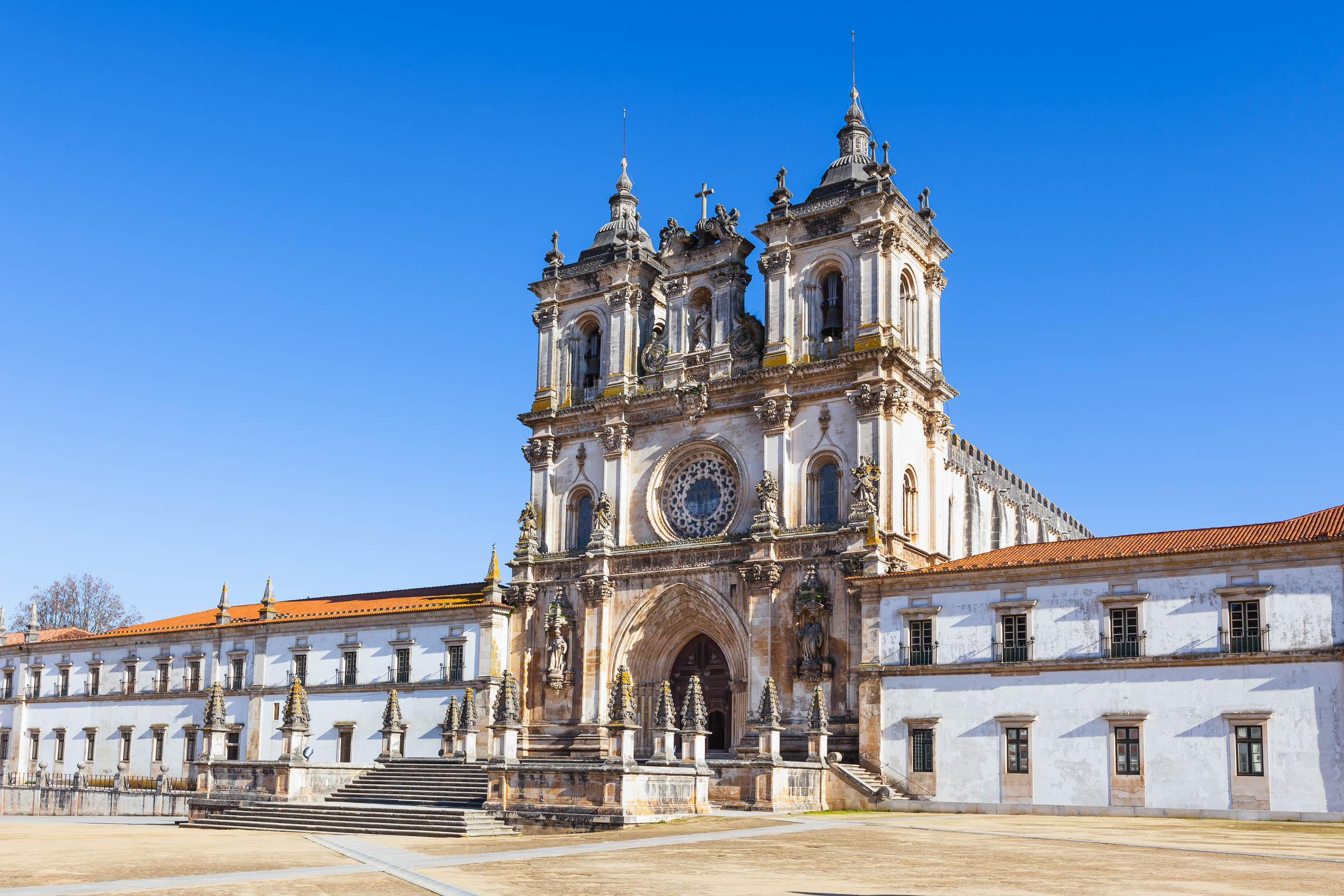

 International cities