
漢德百科全書 | 汉德百科全书
 Arkansas-AR

 Arkansas-AR

 Illinois-IL

 Indiana-IN

 Iowa-IA

 Kansas-KS

 Agriculture, forestry, livestock, fishing

 Minnesota-MN

 Missouri-MO

 Nebraska-NE

 North Dakota-ND

 North Dakota-ND

 Ohio-OH

 South Dakota-SD

 Arkansas-AR

 California-CA

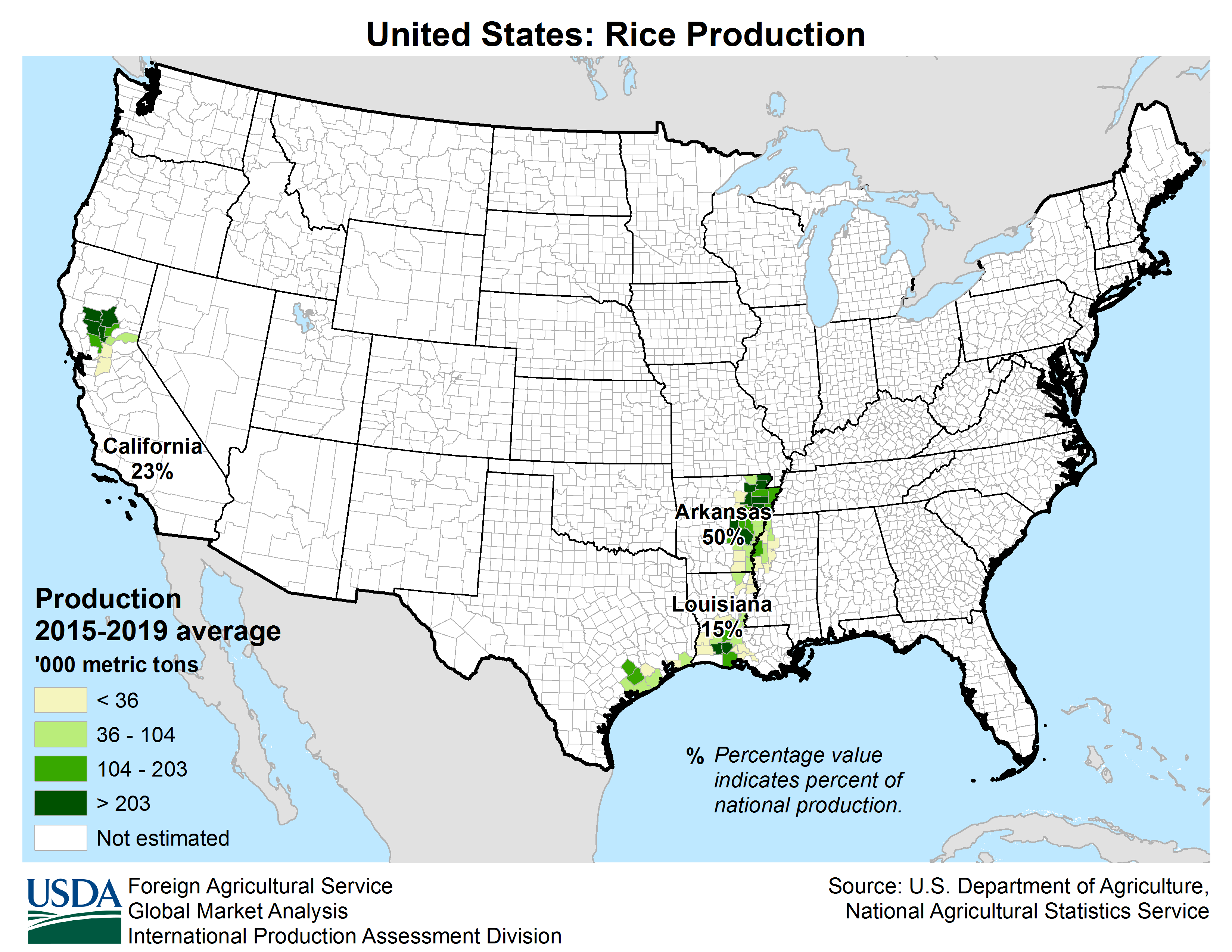
 Agriculture, forestry, livestock, fishing

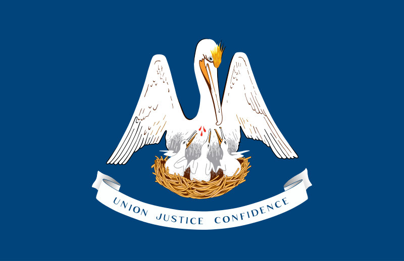 Louisiana-LA

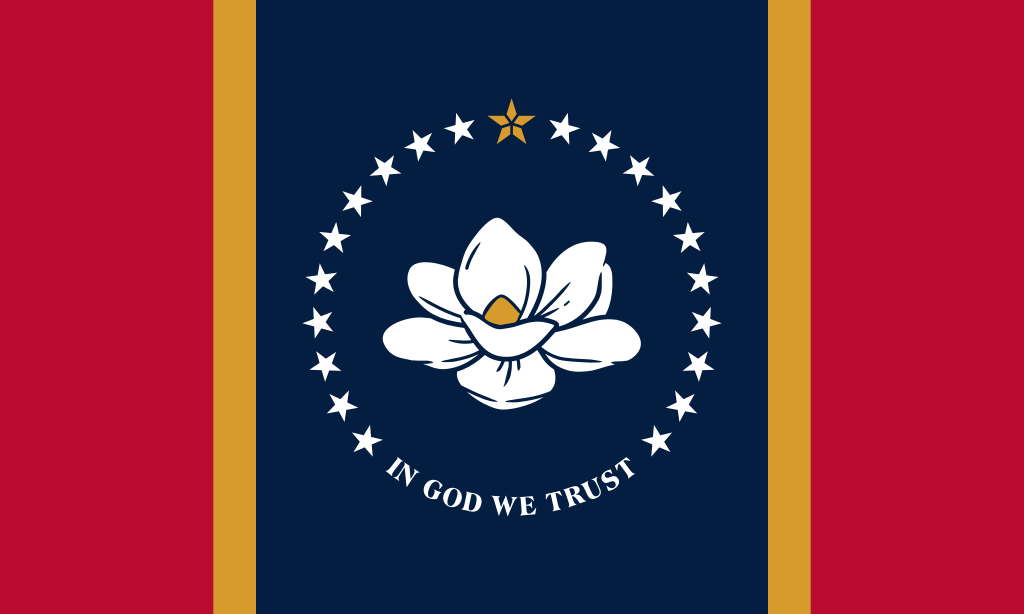 Mississippi-MS

 Missouri-MO

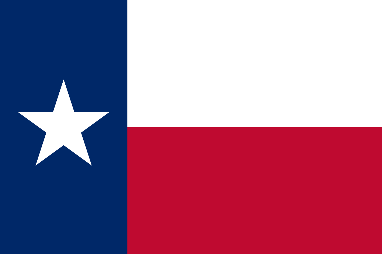 Texas-TX

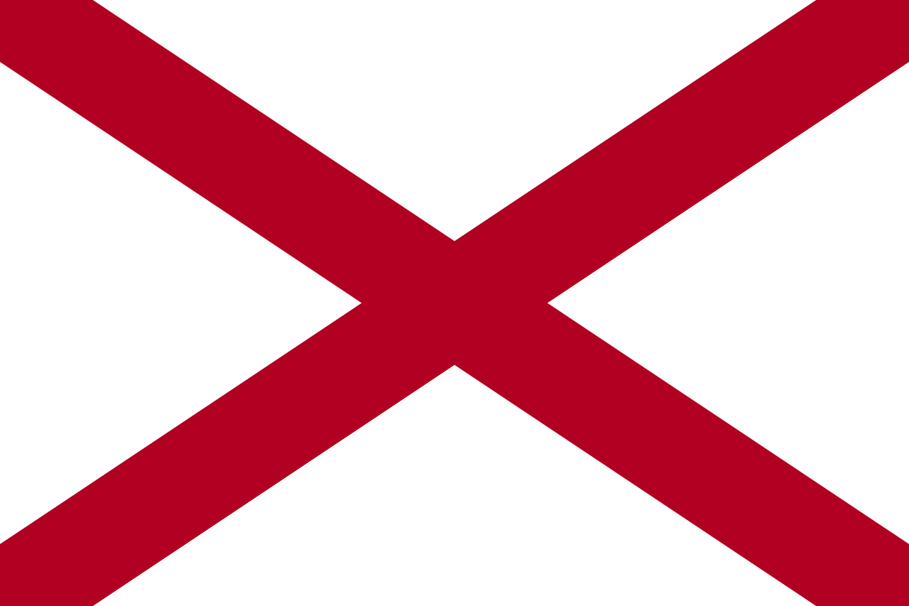 Alabama-AL

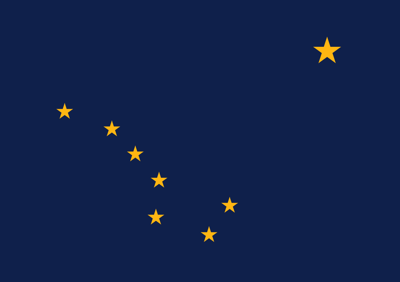 Alaska-AK

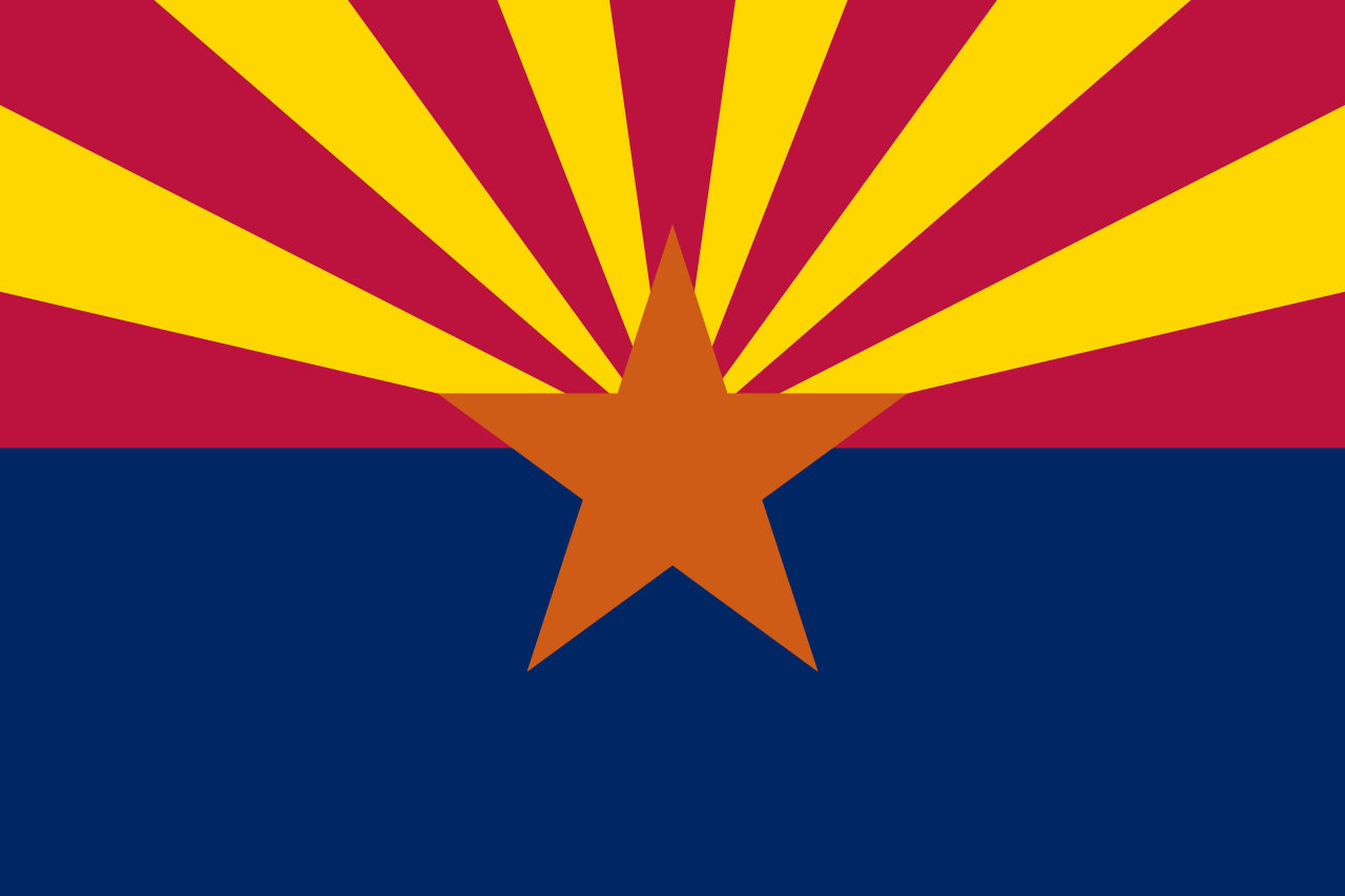 Arizona-AZ

 Arkansas-AR

 Education and Research
 Universities and colleges in the United States of America

 California-CA

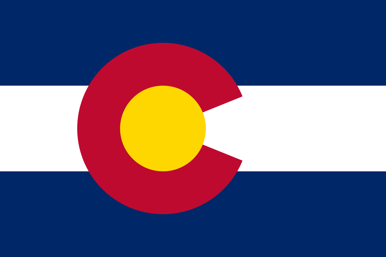 Colorado-CO

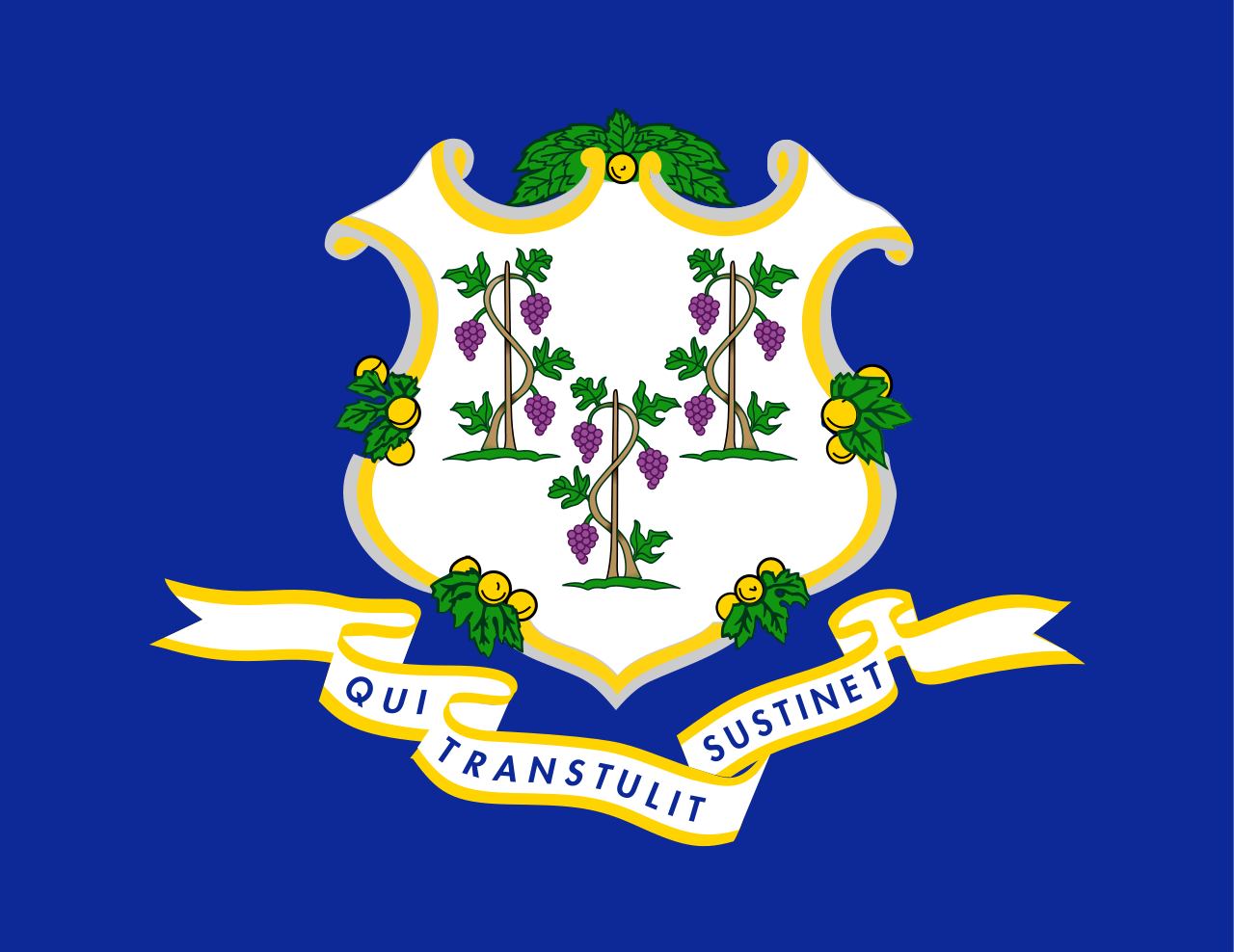 Connecticut-CT

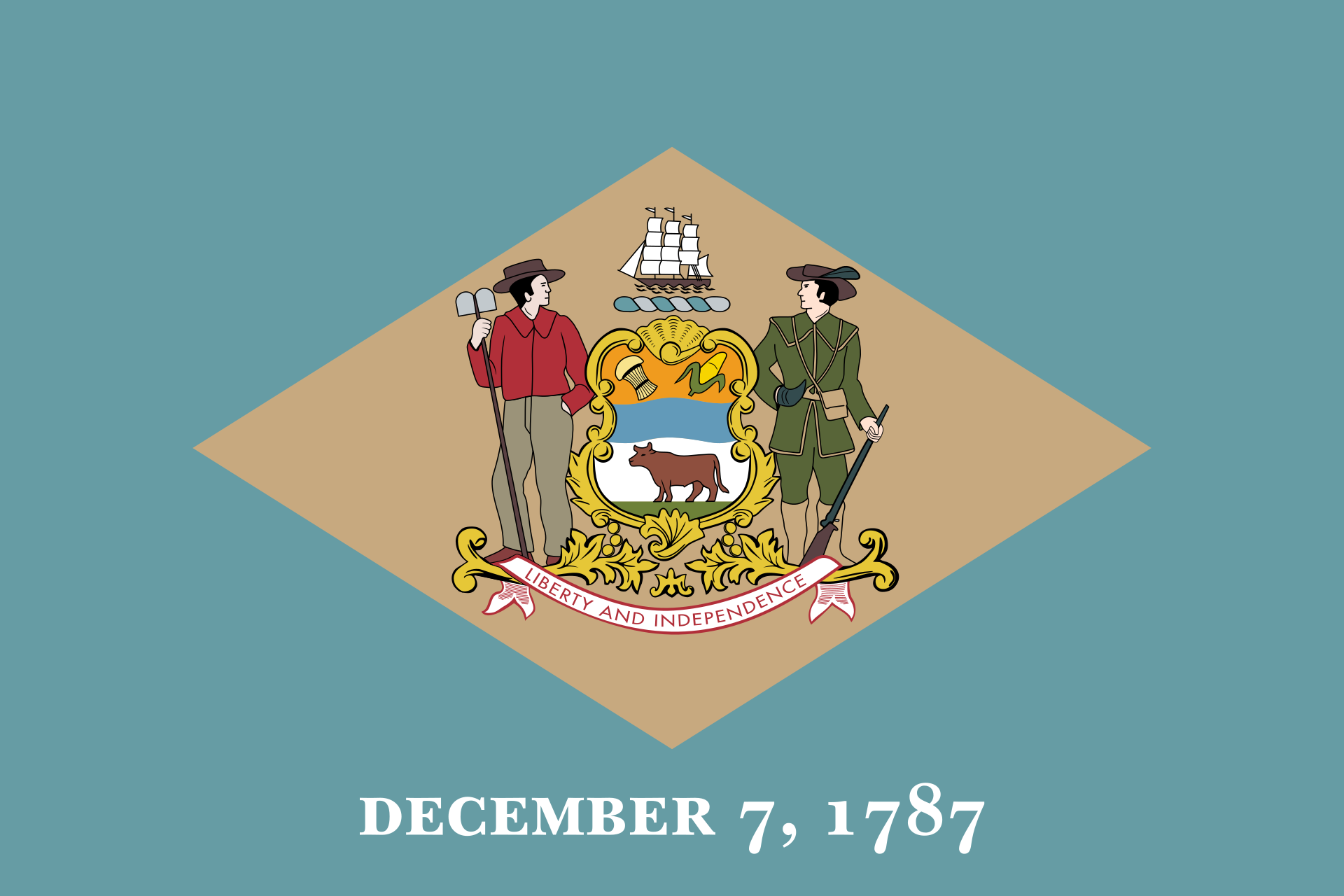 Delaware-DE

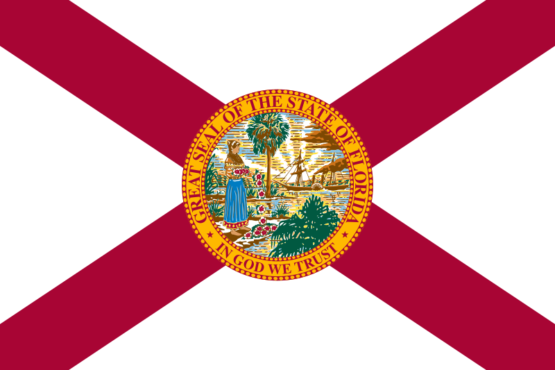 Florida-FL

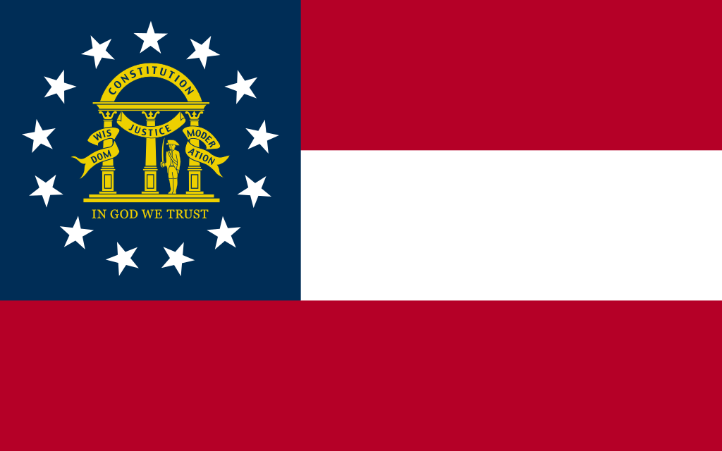 Georgia-GA

 Hawaii-HI

 Idaho-ID

 Illinois-IL

 Indiana-IN

 Iowa-IA

 Kansas-KS

 Kentucky-KY

 Louisiana-LA

 Maine-ME

 Maryland-MD

 Massachusetts-MA

 Michigan-MI

 Minnesota-MN

 Mississippi-MS

 Missouri-MO

 Montana-MT

 Nebraska-NE

 Nevada-NV

 New hampshire-NH

 New jersey-NJ

 New mexico-NM

 New York-NY

 North Carolina-NC

 North Dakota-ND

 Ohio-OH

 Oklahoma-OK

 Oregon-OR

 Pennsylvania-PA

 Rhode Island-RI

 South Dakota-SD

 Tennessee-TN

 Texas-TX

 Universities in the USA

 Utah-UT
 United States

 Vermont-VT

 Virginia-VA

 Washington-WA

 Washington, D.C.

 West Virginia-WV

 Wisconsin-WI

 Wyoming-WY




 Alabama-AL

 Arkansas-AR

 Georgia-GA

 Agriculture, forestry, livestock, fishing

 Mississippi-MS

 North Carolina-NC

 Oklahoma-OK

 Tennessee-TN

 Texas-TX

 Alabama-AL

 Arizona-AZ

 Arkansas-AR

 California-CA

 Colorado-CO

 Connecticut-CT

 Energy resource

 Energy resource
 *Electrical power

 Florida-FL

 Georgia-GA

 Hawaii-HI

 Idaho-ID

 Indiana-IN

 Iowa-IA

 Kentucky-KY

 Louisiana-LA

 Maine-ME

 Maryland-MD

 Massachusetts-MA

 Michigan-MI

 Minnesota-MN

 Montana-MT

 New hampshire-NH

 New jersey-NJ

 New York-NY

 North Carolina-NC

 Oklahoma-OK

 Oregon-OR

 Pennsylvania-PA

 South Carolina-SC

 Texas-TX
 United States

 Vermont-VT

 Virginia-VA

 Washington-WA

 Wisconsin-WI

| Last Modified on November 21, 2022 *Capacity noted in (MW) |
| Plant | Location | Feedstock | Capacity |
|---|---|---|---|
| Agrilectric Power Partners Ltd. | LA | Rice hulls | 12.00 |
| Albany Green Energy | GA | Forest residue, urban wood waste, pecan shells, peanut hulls | 50.00 |
| Allendale Biomass | SC | Mill/forestry residue | 20.00 |
| Altavista Power Station | VA | Woody biomass | 51.00 |
| Arnold O. Chantland Incineration Plant | IA | MSW/Refused-derived fuel (RDF) | 4.00 |
| Barron County Waste-to-Energy & Recycling Facility | WI | MSW | 2.00 |
| Bay Front Power Plant | WI | Wood waste | 56.00 |
| Biomass One | OR | Logging/wood debris | 30.00 |
| Bridgewater Power LP | NH | Woody biomass | 20.00 |
| Buckeye Florida Biomass | FL | Wood waste, black liquor | 69.40 |
| Burgess BioPower | NH | Wood waste | 75.00 |
| Burney Forest Power | CA | Wood waste | 31.00 |
| Cadillac Renewable Energy | MI | Forest residue | 40.00 |
| City of Spokane Waste to Energy Facility | WA | MSW | 22.00 |
| Collins Pine Co. Power Plant | CA | Forest thinnings/residue | 12.00 |
| Covanta Alexandria | VA | MSW | 22.00 |
| Covanta Babylon | NY | MSW | 17.00 |
| Covanta Bristol | CT | MSW | 16.00 |
| Covanta Camden | NJ | MSW | 21.00 |
| Covanta Dade | FL | MSW, wood waste | 77.00 |
| Covanta Delaware Valley | PA | MSW | 87.00 |
| Covanta Essex | NJ | MSW | 66.00 |
| Covanta Fairfax | VA | MSW | 93.00 |
| Covanta Harrisburg | PA | MSW | 21.00 |
| Covanta Haverhill | MA | MSW | 45.00 |
| Covanta Hempstead | NY | MSW | 72.00 |
| Covanta Hillsborough | FL | MSW | 47.00 |
| Covanta Honolulu | HI | MSW | 90.00 |
| Covanta Huntington | NY | MSW | 24.00 |
| Covanta Indianapolis | IN | MSW | 6.50 |
| Covanta Kent | MI | MSW | 17.00 |
| Covanta Lake | FL | MSW | 15.00 |
| Covanta Lancaster | PA | MSW | 33.00 |
| Covanta Lee | FL | MSW | 57.00 |
| Covanta Long Beach | CA | MSW | 36.00 |
| Covanta MacArthur | NY | MSW | 12.00 |
| Covanta Marion | OR | MSW | 13.00 |
| Covanta Montgomery | MD | MSW | 63.00 |
| Covanta Niagara | NY | MSW | 50.00 |
| Covanta Onondaga | NY | MSW | 39.00 |
| Covanta Palm Beach Renewable Energy #1 | FL | MSW | 62.00 |
| Covanta Palm Beach Renewable Energy #2 | FL | MSW | 95.00 |
| Covanta Pasco | FL | MSW | 30.00 |
| Covanta Pinellas | FL | MSW | 75.00 |
| Covanta Plymouth | PA | MSW | 32.00 |
| Covanta SECONN | CT | MSW | 17.00 |
| Covanta SEMASS | MA | MSW | 78.00 |
| Covanta Stanislaus | CA | MSW | 22.00 |
| Covanta Tulsa | OK | MSW | 17.00 |
| Covanta Union | NJ | MSW | 42.00 |
| Covanta York | PA | MSW | 42.00 |
| Cox Waste-to-Energy | KY | Wood waste | 5.00 |
| Craven County Wood Energy | NC | Wood chips, forestry residue, mill waste, bark, sawdust, poultry litter | 50.00 |
| Deerhaven Renewable Generating Station | FL | Wood waste | 102.50 |
| Desert View Power | CA | Woody biomass | 45.00 |
| DG Fairhaven Power | CA | Wood waste | 18.00 |
| Dillard Complex Cogeneration Plant | OR | Mill residue | 51.50 |
| Dorchester Biomass | SC | Mill/forestry residue | 20.00 |
| Douglas County Forest Products | OR | Wood residue | 6.00 |
| DTE Stockton Biomass Power | CA | Woody biomass, ag residue | 45.00 |
| Eagle Valley Clean Energy | CO | Forest restoration thinnings/residue | 12.00 |
| Ecomaine Waste-to-Energy Plant | ME | MSW | 14.00 |
| Evergreen Biopower LLC | OR | Mill residue | 10.00 |
| Fernandina Biomass Plant | FL | Mill residuals | 22.50 |
| French Island Generating Station | WI | MSW/RDF, wood waste, railroad ties | 28.00 |
| Genesee Power Station | MI | Landscaping/storm debris, waste wood | 40.00 |
| Grayling Generating Station | MI | Forestry residue, mill waste, bark | 38.00 |
| Green Energy Team LLC | HI | Eucalyptus, albizia | 7.50 |
| GRP-Franklin LLC | GA | C&D waste | 65.00 |
| GRP-Madison LLC | GA | C&D waste | 65.00 |
| Halifax County Biomass Plant | VA | Logging waste, forest slash | 49.90 |
| Hennepin Energy Recovery Center | MN | MSW | 40.00 |
| Hillman Power LLC | MI | Wood waste | 20.00 |
| Honey Lake Power | CA | High-hazard forest material/thinnings | 30.00 |
| Hopewell Power Station | VA | Woody biomass | 51.00 |
| Joseph C McNeil Generating Station | VT | Logging residue, bark, shavings, clean urban wood waste | 50.00 |
| Kapstone Kraft Paper Corp.-Longview | WA | Mill residue, wood waste | 25.00 |
| Kettle Falls Generating Station | WA | Logging/mill residue | 53.00 |
| Koda Energy LLC | MN | Oat/rice hulls, corn, barley and malt screening, urban tree waste | 23.40 |
| L'Anse Warden Electric Company | MI | Wood waste, railroad ties | 20.00 |
| M.L. Hibbard Energy Center | MN | Wood waste | 72.80 |
| Macon Mill | GA | Logging waste | 38.00 |
| McKay Bay Refuse-to-Energy Plant | FL | MSW | 22.00 |
| McKinley Paper Cogeneration Facility | WA | Logging/mill residue | 9.50 |
| Merced Power | CA | Ag waste | 12.50 |
| MMWAC Resource Recovery Facility | ME | MSW | 5.00 |
| Mt. Poso Cogeneration Co. LLC | CA | Wood waste | 44.00 |
| Multitrade Rabun Gap | GA | Woody biomass | 18.00 |
| National Energy-Lincoln | MI | Wood waste | 18.00 |
| National Energy-McBain | MI | Wood waste | 18.00 |
| North Carolina Renewable Power | NC | C&D waste, wood waste, poultry litter | 22.00 |
| North Fork Community Power | CA | High-hazard forest material | 2.00 |
| Novo BioPower LLC | AZ | Wood waste | 27.00 |
| Okeelanta Biomass Cogeneration | FL | Baggasse, natural gas | 74.90 |
| Olmsted Waste-To-Energy Facility | MN | MSW | 9.60 |
| Oswego Energy Recovery Facility | NY | MSW | 4.00 |
| Pacific Ultrapower Chinese Station | CA | Woody biomass | 25.00 |
| Penobscot Energy Recovery | ME | MSW | 25.00 |
| Piedmont Green Power | GA | Urban wood waste, mill and logging residue | 55.00 |
| Plainfield Renewable Energy | CT | C&D/forestry waste | 37.50 |
| Plummer Cogen | ID | Wood waste | 6.20 |
| Potlatch Land & Lumber Power Plant | AR | Bark, sawdust, shavings | 10.00 |
| Rapids Energy Center | MN | Logging/mill residue | 28.60 |
| Red Wing Generating Station | MN | MSW/RDF | 22.00 |
| ReEnergy Black River | NY | Woody biomass | 60.00 |
| ReEnergy Livermore Falls | ME | Forest residue, C&D waste | 39.00 |
| ReEnergy Stratton | ME | Forest/mill residue | 48.00 |
| Resolute Forest Products Coosa Pines | AL | Wood-processing waste | 30.00 |
| Rio Bravo Fresno | CA | Ag/urban wood waste | 24.30 |
| Rio Bravo Rocklin | CA | High-hazard forest material, ag/urban waste | 24.40 |
| RockTenn-Tacoma Mill | WA | Mill residue | 55.00 |
| Roseburg Forest Products Biomass | CA | Wood waste | 13.00 |
| Rothschild Biomass Cogeneration Plant | WI | Urban wood waste, mill residue | 50.00 |
| Savannah River Site Biomass Cogeneration Facility | SC | Forest residue | 20.00 |
| Scotia Cogen | CA | Wood waste | 28.00 |
| SDS Lumber Gorge Energy Division | WA | Logging/mill residue | 10.00 |
| Shasta-Sustainable Resource Management | CA | Wood waste, forest residue | 56.00 |
| Southampton Power Station | VA | Woody biomass | 51.00 |
| Southern Co. Nacogdoches Generating Facility | TX | Forest/wood processing residue | 115.00 |
| SPI-Aberdeen Biomass Power | WA | Logging/mill residue | 18.00 |
| SPI-Anderson Biomass Power | CA | Logging/mill residue | 30.00 |
| SPI-Burlington Biomass Power | WA | Logging/mill residue | 28.00 |
| SPI-Burney | CA | Logging/mill residue | 20.00 |
| SPI-Eugene | OR | Mill, forest residue | 19.80 |
| SPI-Lincoln Biomass Power | CA | Logging/mill residue | 18.00 |
| SPI-Quincy Biomass Power | CA | Mill residue | 35.20 |
| SPI-Sonora Biomass Power | CA | Logging/mill residue | 10.90 |
| St. Paul Cogeneration LLC | MN | Urban wood residue | 33.00 |
| Stoltze Cogeneration Power Plant | MT | Mill residue | 3.00 |
| Stored Solar Bethlehem | NH | Logging residue, forest thinnings | 20.00 |
| Stored Solar Fitchburg | MA | Woody biomass | 17.00 |
| Stored Solar Jonesboro | ME | Woody biomass | 25.00 |
| Stored Solar Ryegate | VT | Woody biomass | 20.00 |
| Stored Solar Springfield | NH | Woody biomass | 19.00 |
| Stored Solar Tamworth | NH | Woody biomass | 20.00 |
| Stored Solar West Enfield | ME | Woody biomass | 25.00 |
| Stored Solar Whitefield | NH | Woody biomass | 15.00 |
| Telogia Power | FL | Logging/mill residue, hog fuel, peanut hulls | 14.00 |
| U.S. Sugar Corp. Cogeneration Plant | FL | Bagasse | 50.00 |
| Virginia City Hybrid Energy Center | VA | *Woody biomass | 120.00 |
| Wadham Energy LP | CA | Rice hulls | 30.00 |
| Westervelt Renewable Energy Moundville | AL | Wood waste | 13.00 |
| WestRock Covington | VA | Logging, papermaking residue | 75.00 |
| Wheelabrator Baltimore | MD | MSW | 64.50 |
| Wheelabrator Bridgeport | CT | MSW | 67.00 |
| Wheelabrator Concord | NH | MSW | 14.00 |
| Wheelabrator Dutchess County | NY | MSW | 9.00 |
| Wheelabrator Falls | PA | MSW | 53.00 |
| Wheelabrator Gloucester | NJ | MSW | 14.00 |
| Wheelabrator Hudson Falls | NY | MSW | 14.00 |
| Wheelabrator Lisbon | CT | MSW | 15.00 |
| Wheelabrator Millbury | MA | MSW | 48.00 |
| Wheelabrator North Andover | MA | MSW | 40.00 |
| Wheelabrator Portsmouth | VA | MSW | 60.00 |
| Wheelabrator Saugus | MA | MSW | 54.00 |
| Wheelabrator South Broward | FL | MSW | 66.00 |
| Wheelabrator Westchester LP | NY | MSW | 60.00 |
| Wilmarth Generating Station | MN | MSW/RDF, woody biomass | 18.00 |
| Woodland Biomass Power | CA | Wood chips, urban wood waste, ag waste | 25.00 |
| Total Plants: 159 | Total capacity(MW): | 5,583.90 |

Die Mississippi River Alluvial Plain ist eine vom Mississippi River geschaffene Schwemmebene, auf der Teile von sieben US-Bundesstaaten liegen, Illinois, Missouri, Kentucky, Tennessee, Arkansas, Mississippi und Louisiana. Die Ebene ist unterteilt in das Mississippi River Delta in der südlichen Hälfte von Louisiana und die obere Mississippi Embayment, die von Zentral-Louisiana nach Illinois verläuft. Es ist die größte Ökoregion von Louisiana und umfasst 32.000 Quadratkilometer.

 Arkansas-AR

 Iowa-IA

 Kentucky-KY

 Louisiana-LA

 Minnesota-MN
 Mississippi River

 Mississippi-MS

 Missouri-MO

 Tennessee-TN
 United States

 Wisconsin-WI

Der Mississippi[2] [ˌmɪsɪˈsɪpɪ] (engl.: Mississippi River[3]) ist ein 3778 Kilometer langer Strom in den Vereinigten Staaten. Er entspringt dem Lake Itasca im nördlichen Minnesota und mündet rund 160 Kilometer südlich von New Orleans in den Golf von Mexiko.
Der größte Nebenfluss Missouri ist bis zur Mündung in den Mississippi deutlich länger als der Mississippi. Missouri und Unterlauf des Mississippis bilden als Mississippi-Missouri mit 6051 Kilometern Länge das viertlängste Flusssystem der Erde.
Auf seinem Weg durchquert der Mississippi nahezu das gesamte Staatsgebiet der USA von Nord nach Süd und fließt durch acht US-Bundesstaaten: Minnesota, Illinois, Missouri, Kentucky, Arkansas, Tennessee, Mississippi, Louisiana und bildet die Grenze von Wisconsin und Iowa. Bei St. Louis vereinigt er sich mit dem Missouri sowie dem Meramec und bei Cairo, Illinois, mit dem Ohio. Bis auf das Gebiet um die Großen Seen entwässert der Fluss das gesamte Gebiet zwischen den Rocky Mountains im Westen und den Appalachen im Osten. Das Delta bei New Orleans bildet eines der größten Mündungsgebiete weltweit.
密西西比河[4](英语:Mississippi River),位于北美洲中南部,是北美最大的水系[5][6],流域面积约为300万平方千米[7]。它也是北美最长的河流,源头在美国明尼苏达州西北部海拔446米的艾塔斯卡湖(Lake Itasca),流经中央大平原,向南注入墨西哥湾。最长支流密苏里河的源头雷德罗克湖,全长3767千米[7]。如果按照密西西比河的支流——密苏里河的源头计算,则全长为6021千米,居世界河流的第4位[7],其集水范围可以作为美国中西部的分界。
密西西比河的名称源自于美国北部威斯康辛州的印第安阿尔贡金人,因为它支流众多,美国人又尊称为“老人河”,与尼罗河、亚马逊河和长江合称世界四大长河,是北美大陆流域面积最广的水系,两岸多湖泊和沼泽。河流年均输沙量4.95亿吨。流域属世界三大黑土区之一。
ミシシッピ川(ミシシッピがわ、Mississippi River)は、北アメリカ大陸を流れる河川の1つである。アメリカ合衆国のミネソタ州を源流とし、メキシコ湾へと注いでいる。全長は3779kmで、アメリカ合衆国で2番目に長い川である[2]。
高低差が少なく流れが緩やかなため大型船舶の通行や水運に適し、開拓時代から重要な交通路であり、現代においてもアメリカ中央部における輸送の大幹線となっている。
主な支流にはモンタナ州を源流とするミズーリ川(アメリカ合衆国最長)やペンシルベニア州を源流とするオハイオ川などがある。ミズーリ川源流からミシシッピ川河口までの長さは5,971kmで、北アメリカ最大の水系をなす。ミズーリ川は治水のために多くのダムが建設されてダム湖により多くの蛇行がなくなり、500km以上も川の長さは短くなっている。その分ミシシッピ川全体の長さも短くなった。本流の全流路が構造平野であるアメリカの中央平原を流れており、そのため流路の勾配が緩い。水源のイタスカ湖に降った雨が河口に達するまで約90日を要する。
「ミシシッピ」の名は、オジブワ族インディアンの言語で「偉大な川」を意味するmisi-ziibiまたは「大きな川」を意味するgichi-ziibiからの転訛である。オハイオ川との合流地点より北を上ミシシッピ、それより南の河口までを下ミシシッピと称している。かつては川に沿った地域はフランス領であったため、セントポールからニューオーリンズまでフランス人の築いた町が多く存在する。
周辺の気候は、ミズーリ州中央部以北は冷帯湿潤気候、それ以南は温暖湿潤気候となっている[3]。
The Mississippi River is the second-longest river and chief river of the second-largest drainage system on the North American continent, second only to the Hudson Bay drainage system.[14][15] From its traditional source of Lake Itasca in northern Minnesota, it flows generally south for 2,320 miles (3,730 km)[15] to the Mississippi River Delta in the Gulf of Mexico. With its many tributaries, the Mississippi's watershed drains all or parts of 32 U.S. states and two Canadian provinces between the Rocky and Appalachian mountains.[16] The main stem is entirely within the United States; the total drainage basin is 1,151,000 sq mi (2,980,000 km2), of which only about one percent is in Canada. The Mississippi ranks as the fourth-longest river and fifteenth-largest river by discharge in the world. The river either borders or passes through the states of Minnesota, Wisconsin, Iowa, Illinois, Missouri, Kentucky, Tennessee, Arkansas, Mississippi, and Louisiana.[17][18]
Native Americans have lived along the Mississippi River and its tributaries for thousands of years. Most were hunter-gatherers, but some, such as the Mound Builders, formed prolific agricultural societies. The arrival of Europeans in the 16th century changed the native way of life as first explorers, then settlers, ventured into the basin in increasing numbers.[19] The river served first as a barrier, forming borders for New Spain, New France, and the early United States, and then as a vital transportation artery and communications link. In the 19th century, during the height of the ideology of manifest destiny, the Mississippi and several western tributaries, most notably the Missouri, formed pathways for the western expansion of the United States.
Formed from thick layers of the river's silt deposits, the Mississippi embayment is one of the most fertile regions of the United States; steamboats were widely used in the 19th and early 20th centuries to ship agricultural and industrial goods. During the American Civil War, the Mississippi's capture by Union forces marked a turning point towards victory, due to the river's strategic importance to the Confederate war effort. Because of substantial growth of cities and the larger ships and barges that replaced steamboats, the first decades of the 20th century saw the construction of massive engineering works such as levees, locks and dams, often built in combination. A major focus of this work has been to prevent the lower Mississippi from shifting into the channel of the Atchafalaya River and bypassing New Orleans.
Since the 20th century, the Mississippi River has also experienced major pollution and environmental problems – most notably elevated nutrient and chemical levels from agricultural runoff, the primary contributor to the Gulf of Mexico dead zone.
Le Mississippi (Mississippi River en anglais) est un fleuve situé en Amérique du Nord traversant la partie centrale des États-Unis. Il coule du nord du Minnesota au golfe du Mexique et son cours a une orientation méridienne. Le Mississippi a une longueur de 3 780 km : seul l'un de ses affluents, le Missouri, est plus long en Amérique du Nord. La longueur cumulée de ces deux cours d'eau, qui dépasse les 6 800 km, et la superficie du bassin versant font du Mississippi l'un des fleuves les plus importants du monde et du Missouri-Mississippi l'un des bassins fluviaux les plus grands du monde4,1,5. Pendant l'époque précolombienne, le Mississippi constitue déjà une voie de navigation dont le cours supérieur est appelé par les Ojibwés misi-ziibi, qui signifie « grand fleuve »6, repris en 1666 en français sous la forme Messipi. Supervisé par la Mississippi Valley Division et une commission fédérale créée en 1879, le fleuve reste encore aujourd'hui un élément fondamental de l'économie et de la culture américaine.
Il Mississippi (AFI: /missisˈsippi/[4]) è un fiume dell'America settentrionale.
Il fiume nasce in Minnesota, poco ad ovest del Lago Superiore, in un territorio costituito da una serie di alture moreniche, intervallate da alcuni piccoli laghi. Da uno di questi, il Lago Itasca, prende il via il corso del fiume, che nel suo primo tratto è talora incassato tra i cordoni morenici e spesso presenta rapide e cascate. Il fiume ben presto raggiunge i 220 m s.l.m. dopo le cascate di St Anthony (24 m) vicino a Minneapolis. Riceve da sinistra le acque dei fiumi Wisconsin ed Illinois e giunto a Saint Louis riceve da destra il Missouri. Presso Cairo riceve da sinistra l'Ohio, proseguendo verso sud il fiume riceve da destra l'apporto di altri due importanti affluenti, il fiume Arkansas ed il fiume Red River. Giunge quindi a New Orleans dove sfocia nel Golfo del Messico formando un ampio delta.
Si può dividere il corso del fiume in due sezioni: la parte superiore del Mississippi, dalla sorgente alla confluenza con l'Ohio, e la parte inferiore, dalla confluenza con il fiume Ohio alla foce. Il fiume descrive numerosi meandri, soprattutto tra Memphis e il delta. È questa la regione della grande pianura alluvionale del Mississippi, con una coltre di sedimenti che va via via sempre più aumentando nel tempo, sopra i terrazzi fluviali, obbligando le acque del fiume a straripare, specialmente nei periodi delle piene primaverili. Le periodiche inondazioni che si verificano nel basso corso, dove appunto il fiume è pensile, lasciano ai lati delle sponde zone permanentemente umide e acquitrinose (cypress swamps). Il fiume avanza lento, formando ora sinuosi meandri, ora abbandonando vecchi bracci o intagliando isolotti sabbiosi, o addirittura formando distinti rami laterali (bayous).
El Misisipi o Misisipí1 es un largo río del centro de Estados Unidos que fluye en dirección sur a través de diez estados —Minesota, Wisconsin, Iowa, Misuri, Illinois, Kentucky, Tennessee, Arkansas, Misisipi y Luisiana— hasta desaguar en el golfo de México (océano Atlántico), cerca de Nueva Orleans. Tiene una longitud de 3734 km, pero si se considera el sistema Misisipi-Misuri alcanza los 6275 km, que lo sitúan como el cuarto más largo del mundo, tras los ríos Amazonas, Nilo y Yangtsé.23
Drena una cuenca de 3 238 000 km², la cuarta más extensa del mundo, por detrás de las del Amazonas (6 145 000 km²), Congo (3 700 000 km²) y Nilo (3 255 000 km²).
Durante la época precolombina ya constituía una importante vía de navegación y los amerindios lo llamaban «Meschacebé»4 que significa «padre de las aguas». Hoy en día, constituye un elemento fundamental de la economía y de la cultura estadounidense.
El 11 de septiembre de 1997 el presidente Bill Clinton designó dos secciones de este río, el Alto y Bajo Misisipí, como uno de los catorce ríos que integran el sistema de ríos del patrimonio estadounidense.
Миссисипи (англ. Mississippi, МФА: [ˌmɪsəˈsɪpi]; на языке оджибве misi-ziibi или gichi-ziibi — «большая река») — река в США, одна из величайших[прояснить] рек мира. Миссисипи — главная река крупнейшей речной системы в Северной Америке[1][2]. Протекает исключительно на территории Соединённых Штатов Америки, хотя её бассейн распространяется и на Канаду.
Истоком Миссисипи считается либо ручей Николетт-Крик[3], либо озеро Айтаска[4], в которое он впадает. Исток расположен в штате Миннесота на высоте примерно 530 м над уровнем моря. Река в основном течёт в южном направлении и достигает длины в 3770[2] километров[5][6], заканчиваясь обширной дельтой в Мексиканском заливе. Сама река протекает по территории 10 штатов, а её бассейн охватывает 31 штат от Скалистых гор до горной системы Аппалачи. Миссисипи занимает тринадцатую позицию в списке длиннейших рек мира, а речная система Миссисипи-Миссури — третью, и девятую — в списке по полноводности. Миссисипи является частью границ или же пересекает штаты Миннесота, Висконсин, Айова, Иллинойс, Миссури, Кентукки, Теннесси, Арканзас, Миссисипи и Луизиана.
Индейцы жили на берегах Миссисипи и её притоков с древнейших времён. Большинство из них были охотниками и собирателями, но некоторые, такие как строители курганов, образовывали развитые сельскохозяйственные общины. Прибытие европейцев в 1500-х годах навсегда изменило исконный образ жизни аборигенов. Первоначально река выступала в роли барьера, формируя границы Новой Испании и Новой Франции, а также ранних Соединённых Штатов, а затем став важной транспортной артерией и средством сообщения. В XIX веке, во время апофеоза идеи Явного предначертания, Миссисипи и некоторые западные её притоки, главным образом Миссури, послужили путями западной экспансии Соединённых Штатов.
Покрытая толстым слоем иловых отложений, долина реки является одним из плодороднейших регионов США, что послужило развитию легендарной эры пароходов на Миссисипи. Во время Гражданской войны захват Миссисипи силами Союза послужил поворотной точкой в противостоянии в силу важности реки как торгового и транспортного пути. По мере устойчивого роста городов и появления на реке больших кораблей и барж, которые вытеснили прежние маломерные суда, с начала XX века начинаются масштабные гидротехнические работы, в результате которых на реке появилось множество дамб, плотин, шлюзов и прочих гидротехнических сооружений.
Современное развитие бассейна Миссисипи привело к ряду экологических проблем, среди которых одной из крупнейших является проблема загрязнения вод реки сельскохозяйственными стоками, что привело к возникновению так называемой «мёртвой зоны»[en] Мексиканского залива. В последние годы отмечено неуклонное смещение Миссисипи к рукаву Атчафалайа в дельте реки, что может привести к катастрофическим последствиям для портов в дельте, таких как Новый Орлеан. Система дренажей и перемычек позволяет сдерживать этот процесс, однако из-за процессов выноса грунта и эрозии смещение год от года становится всё более явным.

 Transport and traffic
 Geography
 Companies
 Economy and trade
 Architecture
 Art
Art