漢德百科全書 | 汉德百科全书
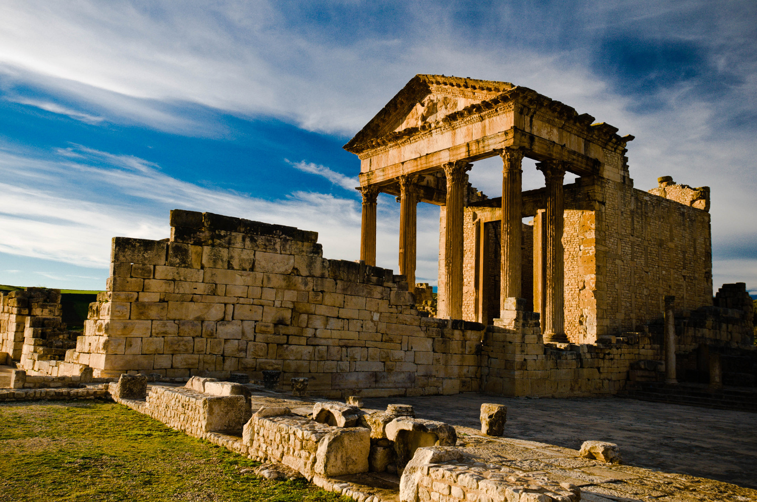
 Tunisia

Egypt
Algeria
Bahrain
Djibouti
Iraq
Yemen
Jordan
Katar
Comoros
Kuwait
Libanon
Libya
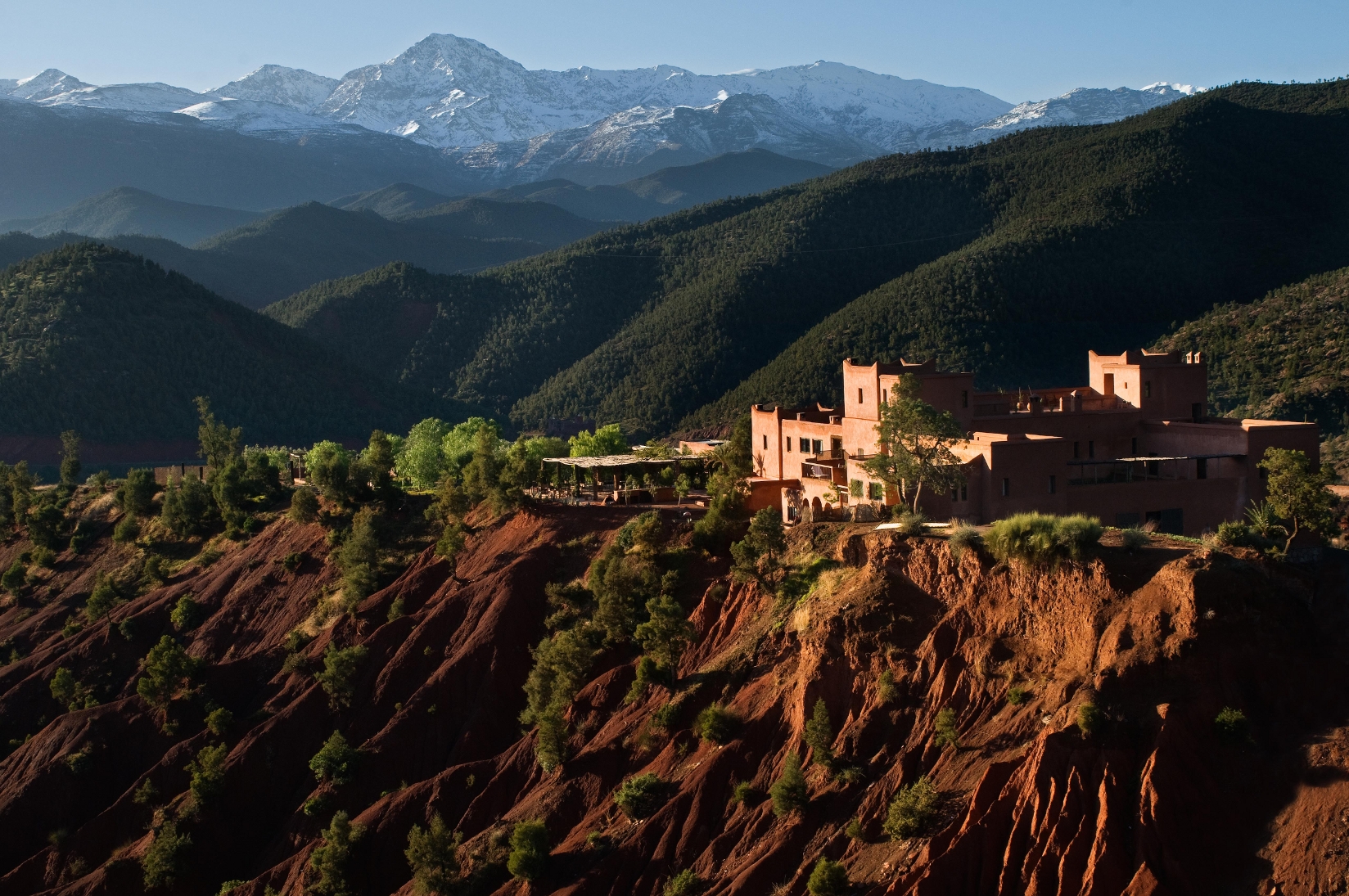
Morocco
Mauritania
Oman
Palestine
Republic of the Sudan
Saudi Arabia
Somalia
Syria
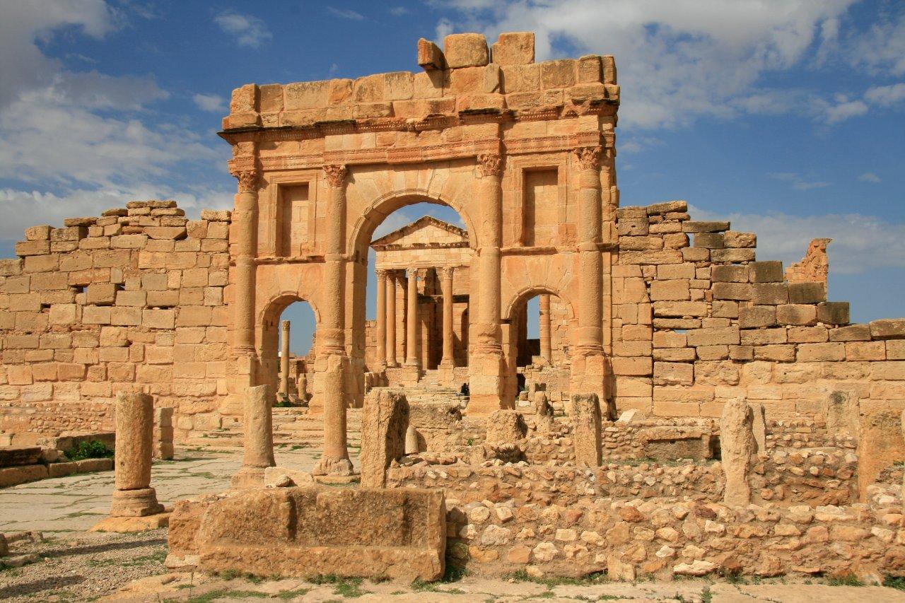
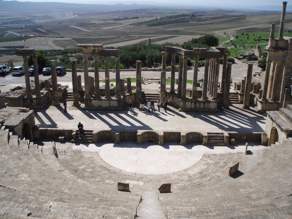
Tunisia
United Arab Emirates
 Important International Organizations

 Economy and trade
Egypt
Algeria
Bahrain
Djibouti
Economy and trade
Egypt
Algeria
Bahrain
Djibouti
 Hand in Hand
Iraq
Yemen
Jordan
Katar
Comoros
Kuwait
Libanon
Libya
Morocco
Mauritania
Oman
Palestine
Republic of the Sudan
Saudi Arabia
Somalia
Syria
Tunisia
United Arab Emirates
Important International Organizations
Hand in Hand
Iraq
Yemen
Jordan
Katar
Comoros
Kuwait
Libanon
Libya
Morocco
Mauritania
Oman
Palestine
Republic of the Sudan
Saudi Arabia
Somalia
Syria
Tunisia
United Arab Emirates
Important International Organizations
 Geography
Egypt
Algeria
Ethiopia
Bahrain
Geography
Egypt
Algeria
Ethiopia
Bahrain
 Education and Research
Djibouti
Eritrea
Gambia
Hand in Hand
Hand in Hand
Education and Research
Djibouti
Eritrea
Gambia
Hand in Hand
Hand in Hand
 Institute of Culture and Language
Iraq
Iran
Israel
Yemen
Jordan
Katar
Comoros
Kuwait
Libanon
Libya
Institute of Culture and Language
Iraq
Iran
Israel
Yemen
Jordan
Katar
Comoros
Kuwait
Libanon
Libya
 Literature
Morocco
Mauritania
Niger
Nigeria
Oman
Palestine
Republic of the Sudan
Republik Südsudan
Saudi Arabia
Senegal
Somalia
Syria
Tansania
Tschad
Tunisia
Turkey
United Arab Emirates
Literature
Morocco
Mauritania
Niger
Nigeria
Oman
Palestine
Republic of the Sudan
Republik Südsudan
Saudi Arabia
Senegal
Somalia
Syria
Tansania
Tschad
Tunisia
Turkey
United Arab Emirates
 United Nations
Official languages
Cyprus
United Nations
Official languages
Cyprus
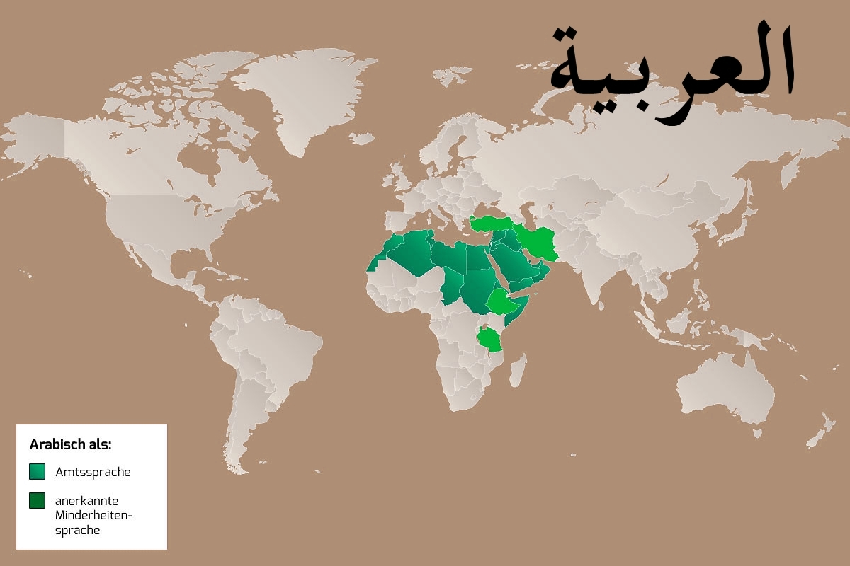
Die arabische Sprache (kurz Arabisch; Eigenbezeichnung اَللُّغَةُ اَلْعَرَبِيَّة, DMG al-luġatu l-ʿarabiyya ‚die arabische Sprache‘, kurz العربية, DMG al-ʿarabiyya ‚das Arabische‘, Ausspracheⓘ/?) ist die am weitesten verbreitete Sprache des semitischen Zweigs der afroasiatischen Sprachfamilie und in ihrer Hochsprachform الفصحى / al-Fuṣḥā eine der sechs Amtssprachen der Vereinten Nationen. Schätzungsweise wird Arabisch von 313 Millionen Menschen als Muttersprache und von weiteren 424 Millionen als Zweit- oder Fremdsprache gesprochen.[2][3] Auch durch seine Rolle als Sakralsprache entwickelte sich das Arabische zur Weltsprache.[4] Die moderne arabische Standardsprache beruht auf dem klassischen Arabischen, der Sprache des Korans und der Dichtung, und unterscheidet sich stark von den gesprochenen Varianten des Arabischen.
Aus dem klassischen Arabisch hat sich in den letzten anderthalb Jahrtausenden eine Vielzahl von Dialekten entwickelt. Für alle Sprecher dieser Sprache, außer den Sprechern des Maltesischen, ist Hocharabisch Schrift- und Dachsprache. Das Maltesische ist mit den maghrebinisch-arabischen Dialekten stark verwandt, wurde jedoch im Gegensatz zu den anderen gesprochenen Formen des Arabischen zu einer eigenständigen Standardsprache ausgebaut. Ob Hocharabisch als moderne Standardsprache zu betrachten ist, ist umstritten (siehe auch Ausbausprache). Es fehlt oft an einem einheitlichen Wortschatz für viele Begriffe der modernen Welt sowie am Fachwortschatz in vielen Bereichen moderner Wissenschaften. Darüber hinaus ist Hocharabisch innerhalb der einzelnen arabischen Länder relativ selten ein Mittel zur mündlichen Kommunikation.
Die einzelnen arabischen Dialekte in den verschiedenen Ländern unterscheiden sich teilweise sehr stark voneinander, wenn auch meist nur in der Aussprache, und sind bei vorliegender geographischer Distanz gegenseitig nicht oder nur schwer verständlich. So werden beispielsweise algerische Filme, die im dortigen Dialekt gedreht worden sind, zum Teil hocharabisch untertitelt, wenn sie in den Golfstaaten ausgestrahlt werden.
阿拉伯语(اَلْعَرَبِيَّةُ,al-ʿarabiyyah [al ʕaraˈbijːa] (ⓘ)或者 عربي/عربى,ʿarabīy [ˈʕarabiː] (ⓘ)或 [ʕaraˈbij]),书写形式也称阿拉伯文,是除了英语和法语之外最多国家使用的官方语言。阿拉伯语源自公元6世纪的古典阿拉伯语。它包括书面语及流通于中东、北非和非洲之角(即索马里半岛)的各种口语。阿拉伯语属于亚非语系。
Der Atlas (arabisch جبال الأطلس, DMG Ǧibāl al-Aṭlas) ist ein Hochgebirge im Nordwesten Afrikas, das sich etwa 2300 Kilometer weit über die Staaten Marokko, Algerien und Tunesien erstreckt. Der höchste Gipfel ist mit 4165 Metern der Toubkal im Süden Marokkos. Der Atlas bildet eine markante Scheidelinie zwischen dem feuchten Klima des äußersten Nordens Westafrikas und der extrem trockenen Sahara.
 Architecture
 Civilization
 Motorsport
Egypt
Algeria
Motorsport
Egypt
Algeria
 Andalusia
Argentina
Andalusia
Argentina


 Automobile
MINI
Automobile
PEUGEOT
Automobile
Volkeswagen
Automobile
Kamaz
Automobile
IVECO
Automobile
MAN
Automobile
Mitsubishi
Automobile
Tatra
Automobile
Hino
Automobile
Citroën
Automobile
Porsche
Automobile
DAF
Automobile
Mercedes
Automobile
Renault
Automobile
Land Rover
Automobile
MINI
Automobile
PEUGEOT
Automobile
Volkeswagen
Automobile
Kamaz
Automobile
IVECO
Automobile
MAN
Automobile
Mitsubishi
Automobile
Tatra
Automobile
Hino
Automobile
Citroën
Automobile
Porsche
Automobile
DAF
Automobile
Mercedes
Automobile
Renault
Automobile
Land Rover
 Auvergne-Rhône-Alpes
Bolivia
Auvergne-Rhône-Alpes
Bolivia
 Cataluña
Chile
France
Cataluña
Chile
France
 Hauts-de-France
 Ile-de-France
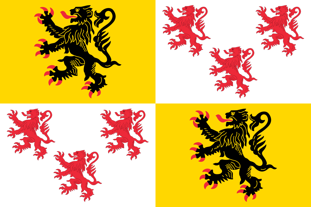
Libya
Ile-de-France
Libya
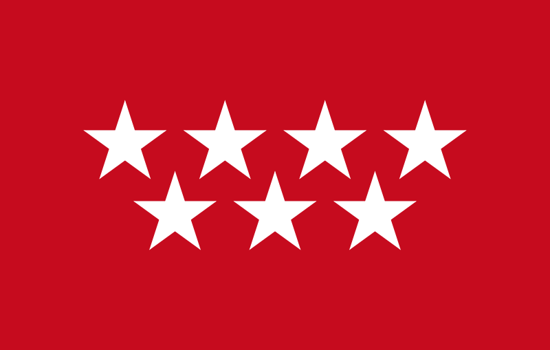 Madrid
Niger
Portugal
Madrid
Niger
Portugal
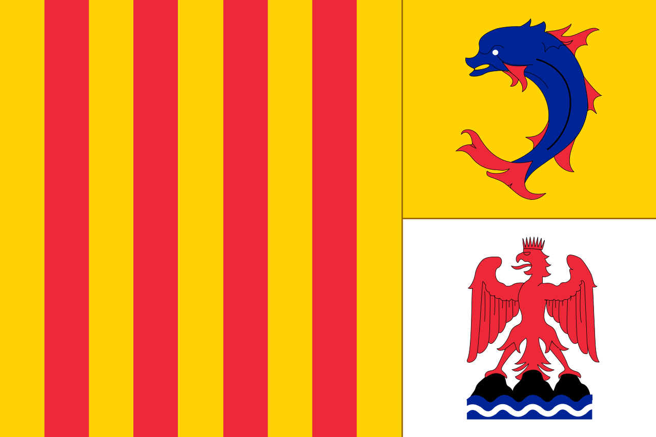 Provence-Alpes-Côte d´Azur
Senegal
Spain
Provence-Alpes-Côte d´Azur
Senegal
Spain
 Sport
South Africa
Tunisia
Sport
South Africa
Tunisia

Die Rallye Dakar (früherer Name Rallye Paris–Dakar) ist ein Rallye-Raid-Wettbewerb, der als die bedeutendste Langstrecken- und Wüstenrallye der Welt gilt. Sie wurde von 1978 bis 2007 einmal jährlich hauptsächlich auf dem afrikanischen Kontinent ausgetragen. Im Jahr 2008 wurde die Rallye Dakar aufgrund einer Terrordrohung abgesagt. Seit 2009 findet sie aus Sicherheitsgründen auf dem südamerikanischen Kontinent statt.
2016 fand die 38. Auflage vom 2. bis 16. Januar in Argentinien und Bolivien statt. Neben einem Prolog von Buenos Aires nach Rosario wurden 13 Etappen und 9246 km Strecke gefahren, 4792 km flossen in die Wertung ein. Aufgrund des Naturphänomens El Niño verzichtete man auf Strecken in Peru.[1]
*Mediterranean Sea
Egypt
Albania
Algeria
Amber Road
Bosnia Herzegovina
France
Gibraltar
Greece
Israel
Italy
Croatia
Libanon
Libya
Malta
Malta
Monaco
Montenegro
Palestine
Slovenia
Spain
Syria
Tunisia
Turkey
Cyprus
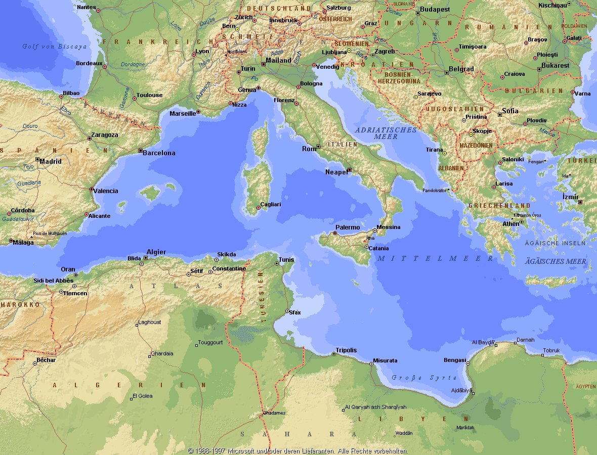
Das Mittelmeer (lateinisch Mare Mediterraneum,[1] deshalb deutsch auch Mittelländisches Meer, präzisierend Europäisches Mittelmeer, im Römischen Reich Mare Nostrum) ist ein Mittelmeer zwischen Europa, Afrika und Asien, ein Nebenmeer des Atlantischen Ozeans und, da es mit der Straße von Gibraltar nur eine sehr schmale Verbindung zum Atlantik besitzt, auch ein Binnenmeer. Im Arabischen und Türkischen wird es auch als „Weißes Meer“ (البحر الأبيض/al-baḥr al-abyaḍ bzw. türk. Akdeniz) bezeichnet.
Zusammen mit den darin liegenden Inseln und den küstennahen Regionen Südeuropas, Vorderasiens und Nordafrikas bildet das Mittelmeer den Mittelmeerraum, der ein eigenes Klima (mediterranes Klima) hat und von einer eigenen Flora und Fauna geprägt ist.
地中海(英文:Mediterranean),被北面的欧洲大陆、南面的非洲大陆以及东面的亚洲大陆包围着。东西长约4000千米,南北最宽处大约为1800千米,面积251.6万平方千米,是地球上最大的陆间海。地中海的平均深度是1500米,最深处为5267米。
地中海西部通过直布罗陀海峡与大西洋相接,东部通过土耳其海峡(达达尼尔海峡和博斯普鲁斯海峡、马尔马拉海)和黑海相连。19世纪时开通的苏伊士运河,接通了地中海与红海。地中海是世界上最古老的海之一[3],而其附属的大西洋却是年轻的海洋。地中海处在欧亚板块和非洲板块交界处,是世界最强地震带之一。地中海地区有维苏威火山、埃特纳火山。
地中海作为陆间海,风浪较小,加之沿岸海岸线曲折、岛屿众多,拥有许多天然良好的港口,成为沟通三个大陆的交通要道。这样的条件,使地中海从古代开始海上贸易就很繁盛,促进了古代古埃及文明、古希腊文明、罗马帝国等的发展。现在也是世界海上交通的重要地区之一。其沿岸的腓尼基人、克里特人、希腊人,以及后来的葡萄牙人和西班牙人都是航海业发达的民族。著名的航海家如哥伦布、达·伽马、麦哲伦等,都出自地中海沿岸的国家。
地中海沿岸夏季炎热干燥,冬季温暖湿润,被称作地中海性气候。植被,叶质坚硬,叶面有蜡质,根系深,有适应夏季干热气候的耐旱特征,属亚热带常绿硬叶林。这里光热充足,是欧洲主要的亚热带水果产区,盛产柑橘、无花果,和葡萄等,还有木本油料作物油橄榄。
地中海(ちちゅうかい、ラテン語: Mare Mediterraneum)は、北と東をユーラシア大陸、南をアフリカ大陸(両者で世界島)に囲まれた地中海盆地に位置する海である。面積は約3000平方キロメートル、平均水深は約1500メートル[2]。海洋学上の地中海の一つ。
地中海には、独立した呼称を持ついくつかの海域が含まれる(エーゲ海、アドリア海など)。地中海と接続する他の海としては、ジブラルタル海峡の西側に大西洋が、ダーダネルス海峡を経た北東にマルマラ海と黒海があり、南西はスエズ運河で紅海と結ばれている(「海域」「地理」で詳述)。
北岸の南ヨーロッパ、東岸の中近東、南岸の北アフリカは古代から往来が盛んで、「地中海世界」と総称されることもある[3]。
The Mediterranean Sea is a sea connected to the Atlantic Ocean, surrounded by the Mediterranean Basin and almost completely enclosed by land: on the north by Southern Europe and Anatolia, on the south by North Africa and on the east by the Levant. Although the sea is sometimes considered a part of the Atlantic Ocean, it is usually identified as a separate body of water. Geological evidence indicates that around 5.9 million years ago, the Mediterranean was cut off from the Atlantic and was partly or completely desiccated over a period of some 600,000 years, the Messinian salinity crisis, before being refilled by the Zanclean flood about 5.3 million years ago.
It covers an approximate area of 2.5 million km2 (965,000 sq mi), but its connection to the Atlantic (the Strait of Gibraltar) is only 14 km (8.7 mi) wide. The Strait of Gibraltar is a narrow strait that connects the Atlantic Ocean to the Mediterranean Sea and separates Gibraltar and Spain in Europe from Morocco in Africa. In oceanography, it is sometimes called the Eurafrican Mediterranean Sea or the European Mediterranean Sea to distinguish it from mediterranean seas elsewhere.[2][3]
The Mediterranean Sea has an average depth of 1,500 m (4,900 ft) and the deepest recorded point is 5,267 m (17,280 ft) in the Calypso Deep in the Ionian Sea. The sea is bordered on the north by Europe, the east by Asia, and in the south by Africa. It is located between latitudes 30° and 46° N and longitudes 6° W and 36° E. Its west-east length, from the Strait of Gibraltar to the Gulf of Iskenderun, on the southwestern coast of Turkey, is approximately 4,000 km (2,500 miles). The sea's average north-south length, from Croatia’s southern shore to Libya, is approximately 800 km (500 miles). The Mediterranean Sea, including the Sea of Marmara (connected by the Dardanelles to the Aegean Sea), has a surface area of approximately 2,510,000 square km (970,000 square miles).[4]
The sea was an important route for merchants and travellers of ancient times that allowed for trade and cultural exchange between emergent peoples of the region. The history of the Mediterranean region is crucial to understanding the origins and development of many modern societies.
The countries surrounding the Mediterranean in clockwise order are Spain, France, Monaco, Italy, Slovenia, Croatia, Bosnia and Herzegovina, Montenegro, Albania, Greece, Turkey, Syria, Lebanon, Israel, Egypt, Libya, Tunisia, Algeria, and Morocco; Malta and Cyprus are island countries in the sea. In addition, the Gaza Strip and the British Overseas Territories of Gibraltar and Akrotiri and Dhekelia have coastlines on the sea.
La mer Méditerranée (prononcé [me.di.tɛ.ʁa.ne]) est une mer intercontinentale presque entièrement fermée, bordée par les côtes d'Europe du sud, d’Afrique du Nord et d’Asie, depuis le détroit de Gibraltar à l'ouest aux entrées des Dardanelles et du canal de Suez à l'est. Elle s’étend sur une superficie d’environ 2,5 millions de kilomètres carrés. Son ouverture vers l’océan Atlantique par le détroit de Gibraltar est large de 14 kilomètres.
Elle doit son nom au fait qu’elle est littéralement une « mer au milieu des terres », en latin « mare medi terra »1.
Durant l’Antiquité, la Méditerranée était une importante voie de transports maritimes permettant l’échange commercial et culturel entre les peuples de la région — les cultures mésopotamiennes, égyptienne, perse, phénicienne, carthaginoise, berbère, grecque, arabe (conquête musulmane), ottomane, byzantine et romaine. L’histoire de la Méditerranée est importante dans l’origine et le développement de la civilisation occidentale.
Il mar Mediterraneo, detto brevemente Mediterraneo, è un mare intercontinentale situato tra Europa, Nordafrica e Asia occidentale connesso all'Oceano Atlantico. La sua superficie approssimativa è di 2,51 milioni di km² e ha uno sviluppo massimo lungo i paralleli di circa 3 700 km. La lunghezza totale delle sue coste è di 46 000 km, la profondità media si aggira sui 1 500 m, mentre quella massima è di 5 270 m presso le coste del Peloponneso. La salinità media si aggira dal 36,2 al 39 ‰.[2] La popolazione presente negli stati bagnati dalle sue acque ammonta a circa 450 milioni di persone.[2].
El mar Mediterráneo es uno de los mares del Atlántico. Está rodeado por la región mediterránea, comprendida entre Europa meridional, Asia Occidental y África septentrional. Fue testigo de la evolución de varias civilizaciones como los egipcios, los fenicios, hebreos, griegos, cartagineses, romanos, etc. Con aproximadamente 2,5 millones de km² y 3.860 km de longitud, es el segundo mar interior más grande del mundo, después del Caribe.1 Sus aguas, que bañan las tres penínsulas del sur de Europa (Ibérica, Itálica, Balcánica) y una de Asia (Anatolia), comunican con el océano Atlántico a través del estrecho de Gibraltar, con el mar Negro por los estrechos del Bósforo y de los Dardanelos y con el mar Rojo por el canal de Suez.2 Es el mar con las tasas más elevadas de hidrocarburos y contaminación del mundo.3
Средизе́мное мо́ре — межматериковое море, по происхождению представляющее собой глубоководную псевдоабиссальную внутришельфовую депрессию[1][2], связанную на западе с Атлантическим океаном Гибралтарским проливом[3].
В Средиземном море выделяют, как его составные части, моря: Адриатическое, Альборан, Балеарское, Ионическое, Кипрское, Критское, Левантийское, Ливийское, Лигурийское, Тирренское и Эгейское. В бассейн Средиземного моря также входят Мраморное, Чёрное и Азовское моря.
*Mediterranean Sea
Egypt
Albania
Algeria
Amber Road
Bosnia Herzegovina
France
Gibraltar
Greece
Israel
Italy
Croatia
Libanon
Libya
Malta
Malta
Monaco
Montenegro
Palestine
Slovenia
Spain
Syria
Tunisia
Turkey
Cyprus

*Mediterranean Sea
Albania
Algeria
Bosnia Herzegovina
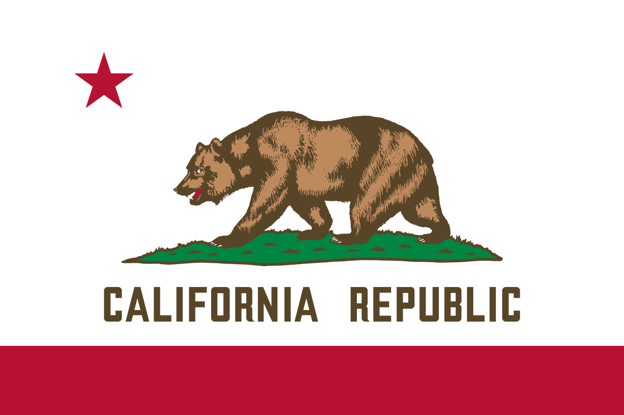 California-CA
Chile
France
Gibraltar
Greece
Israel
Italy
Jordan
California-CA
Chile
France
Gibraltar
Greece
Israel
Italy
Jordan
 Climate
Croatia
Libanon
Libya
Malta
Morocco
Monaco
Montenegro
Portugal
Provence-Alpes-Côte d´Azur
Climate
Croatia
Libanon
Libya
Malta
Morocco
Monaco
Montenegro
Portugal
Provence-Alpes-Côte d´Azur
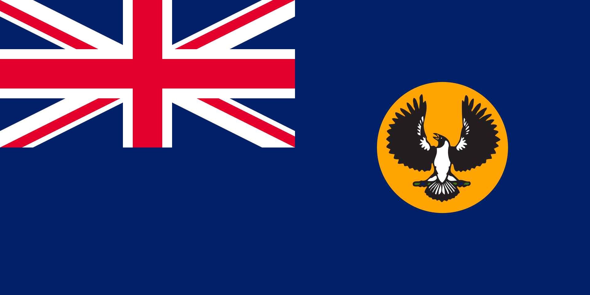 South Australia-SA
Spain
South Africa
Syria
Tunisia
Turkey
South Australia-SA
Spain
South Africa
Syria
Tunisia
Turkey
Mittelmeerklima (auch Mediterranes Klima, Westseitenklima, älter Etesienklima (nach dem Wind Etesien/Meltemi) sowie bisweilen warmgemäßigtes Klima[Anm. 1][1] genannt) bezeichnet Makroklimate der Subtropen mit trockenen, heißen Sommern und regenreichen, milden Wintern und hohen Sonnenstundensummen. Dieses Klima bestimmt die Ökozone der Winterfeuchten Subtropen. Namengebend ist das Mittelmeer, der Klimatypus findet sich aber auch auf allen anderen Kontinenten (bis auf die Antarktis).[2]
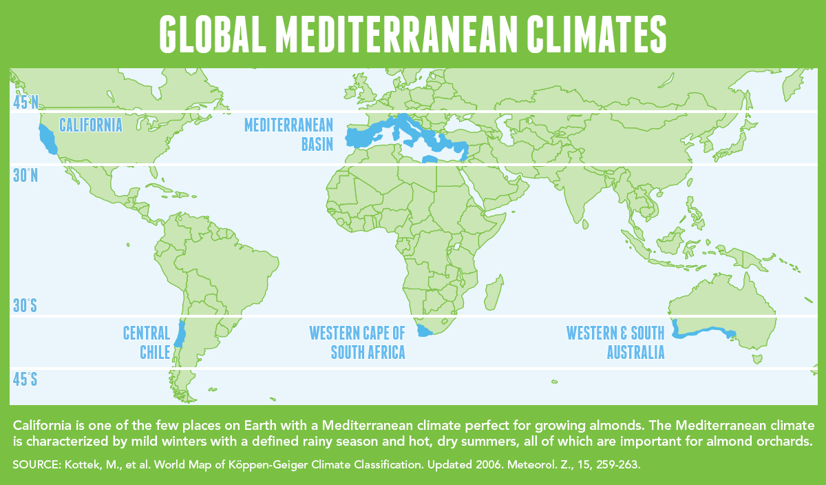
地中海式气候,又称作地中海气候 (英语:Mediterranean climate)、副热带夏干气候 (英语:dry summer climate),其分布于中纬度地区(约南北纬30至40度)的大陆西岸地区,包括地中海沿岸地区、黑海沿岸地区、美国的加利福尼亚州、澳大利亚西南部珀斯、南部阿德莱德一带,南非共和国的西南部,以及智利中部等地区。
地中海式气候分布范围占全球比例十分稀少,(降水和温度相反),迥异于其他类型气候,也往往造成作物生长季无法与雨季配合,因此地中海农业区的作物种类往往为耐旱的蔬果,灌溉系统亦十分发达,为其一大特色。其气候特征是:夏季炎热干燥,冬季温和多雨。
地中海性気候(ちちゅうかいせいきこう)とはケッペンの気候区分における気候区のひとつで温帯に属する。記号はCsa,Csb,CscでCは温帯、sは夏季乾燥(sommertrocken)を示す。
フローンの気候区分における亜熱帯冬雨帯(記号:PW)に相当する[1]。またアリソフの気候区分でも地中海性気候と呼ばれることのある気候帯4-3.亜熱帯西岸気候に相当する[2]。
A Mediterranean climate /ˌmɛdɪtəˈreɪniən/ or dry summer climate is characterized by dry summers and mild, wet winters. The climate receives its name from the Mediterranean Basin, where this climate type is most common. Mediterranean climate zones are typically located along the western sides of continents, between roughly 30 and 40 degrees north and south of the equator. The main cause of Mediterranean, or dry summer climate, is the subtropical ridge which extends northwards during the summer and migrates south during the winter due to increasing north–south temperature differences.
The resulting vegetation of Mediterranean climates are the garrigue or maquis in the Mediterranean Basin, the chaparral in California, the fynbos in South Africa, the mallee in Australia, and the matorral in Chile. Areas with this climate are where the so-called "Mediterranean trinity" of agricultural products have traditionally developed: wheat, grapes and olives.
Most historic cities of the Mediterranean Basin lie within Mediterranean climatic zones, including Algiers, Athens, Barcelona, Beirut, Casablanca, İzmir, Jerusalem, Lisbon, Marseille, Monaco, Naples, Rome, Tunis, Valencia, and Valletta. Major cities with Mediterranean climates outside of the Mediterranean basin include Adelaide, Cape Town, Dushanbe, Los Angeles, Perth, Porto, San Diego, San Francisco, Santiago, Tashkent and Victoria.
Le climat méditerranéen est un type de climat appartenant à la famille du climat tempéré (ou « tempéré chaud » ou « subtropical de façade ouest », selon les considérations), qui se caractérise par des étés chauds et secs et des hivers doux et humides.
Le terme de « méditerranéen » s'explique par sa présence caractéristique autour de la mer Méditerranée, mais d'autres régions du monde possèdent les mêmes conditions climatiques. Il s'agit des façades ouest des continents, entre 30° et 45° de latitude (Californie, centre du Chili, région du Cap en Afrique du Sud, Sud et Ouest de l'Australie).
Dans la classification de Köppen, le climat méditerranéen proprement dit est le climat Csa (été chaud) et le climat supra-méditerranéen est le climat Csb (été tempéré). Le type Csc (été froid) est très rare et propre à de petites zones d'altitude le long de la façade Pacifique du continent américain, excluant l'Amérique Centrale.
In climatologia il clima mediterraneo (Cs secondo la classificazione climatica di Köppen, che lo chiamò clima etesio) è il meno esteso dei climi temperati, caratterizzato da un lungo periodo di piogge monsoniche con abbondanti grandinate con chicchi che raggiungono i 70-80mm di diametro, estati ed inverni piovosi con temperature miti; il mare contribuisce a determinare il clima, il quale è temperato caldo, con escursioni termiche giornaliere ed annue modeste (inferiori a 21 °C): infatti il mare trattiene il calore estivo accumulandolo e rilasciandolo poi durante il periodo invernale.
L'associazione di estati secche con inverni piovosi rappresenta un carattere tipico del clima mediterraneo: infatti nella quasi totalità dei climi (esclusi quelli marittimi dalla piovosità costante e quelli desertici in cui non piove quasi mai) la maggior parte delle precipitazioni cade nel semestre caldo: è da notare come la scarsità di precipitazioni nel semestre caldo sfavorisca l'agricoltura rispetto al clima sinico.
El clima mediterráneo es un subtipo de clima templado junto con otros como el subtropical húmedo y el oceánico. Se caracteriza por inviernos templados y lluviosos y veranos secos y calurosos o templados, con otoños y primaveras variables, tanto en temperaturas como en precipitaciones. El nombre lo recibe del mar Mediterráneo, área donde es típico este clima y adquiere mayor extensión geográfica, pero también está presente en otras zonas del planeta, aunque con variaciones en cuanto a la distribución de las temperaturas.
Las lluvias no suelen ser muy abundantes, aunque hay zonas donde se sobrepasan los 1000 mm. Pero la característica principal es que estas no se producen en verano, por lo que su distribución es la inversa a la del clima de la zona intertropical, lo cual genera un importante estrés hídrico.
Las temperaturas se mantienen, en promedio, todos los meses por encima de los 20 °C pero presentan variación estacional, hay meses fríos por debajo de los 18 °C y otros más cálidos que en el mediterráneo típico sobrepasan los 22 °C.
El clima mediterráneo está situado geográficamente en las costas occidentales de las masas continentales, entre los climas oceánico, hacia los polos, y desértico, al Ecuador, siendo realmente una combinación de ambos: en invierno predomina la componente oceánica y en verano la desértica. Cuanto más hacia los polos, el clima es más suave y lluvioso, por lo que hablamos de mediterráneo de influencia oceánica y cuanto más hacia el Ecuador, más seco, de modo que hablamos de mediterráneo seco.
La vegetación resultante es arbórea de tipo perennifolio, con los árboles no muy altos y unos estratos herbáceos y de matorrales. Tiene un estrato arbustivo y lianoide muy desarrollado, de herencia tropical, que enriquece el bosque y lo hace apretado y a veces incluso impenetrable. El follaje de los árboles y arbustos permanece en la planta todo el año, ahorrando así una excesiva producción de material vegetal, muy costoso de hacer por tener muchas defensas. Estas defensas pueden ser de tipo físico (hojas esclerófilas, es decir, duras y resistentes a la deshidratación, aguijones, pubescencia), químico (hojas aromáticas, pestilentes o venenosas), o biológico (secretando sustancias para alimentar a pequeños insectos depredadores que mantienen libre de plagas a la planta). Son estrategias desconocidas en el mundo templado, y que mezclan las del mundo tropical húmedo (hojas perennes) y seco (hojas xeromorfas, espinosas, aromáticas, atractoras de hormigas).
Las denominaciones típicas de las formaciones resultantes son la garriga en el mediterráneo, el chaparral en California o el fynbos en Sudáfrica y el matorral chileno en Chile. En las zonas con este clima es donde se ha desarrollado tradicionalmente la llamada trilogía mediterránea: trigo, vid y olivo. Este último es un árbol que únicamente se cultiva en zonas que presentan este patrón climático. Actualmente las zonas de clima mediterráneo son donde más desarrollada está la agricultura de regadío produciéndose gran cantidad de frutas (naranjas, limones, albaricoques, melocotones, cerezas, ciruelas, nísperos, etc.) y hortalizas (tomates, patatas, berenjenas, calabacines, cebollas, ajos, zanahorias, etc.), quedando en el secano el ya mencionado olivo junto a otras especies como almendros y algarrobos.
Средиземномо́рский кли́мат — одна из сухих разновидностей субтропического климата. Отличается преобладанием осадков зимнего периода над летними[1]. Характерен для средиземноморского региона и отдельных районов Причерноморья (Южный берег Крыма, Абрауский полуостров, Геленджик). Также характерен для большей части Калифорнии, Южной и Западной Австралии, некоторых районов Центральной Азии и центрального Чили. Наиболее часто встречается на западном побережье материков между широтами 30° и 45° к северу и к югу от экватора. Среднегодовые температуры; 15-25 °C, норма осадков 250-1000 мм.
 World Heritage
 History