
Deutsch-Chinesische Enzyklopädie, 德汉百科
 International cities


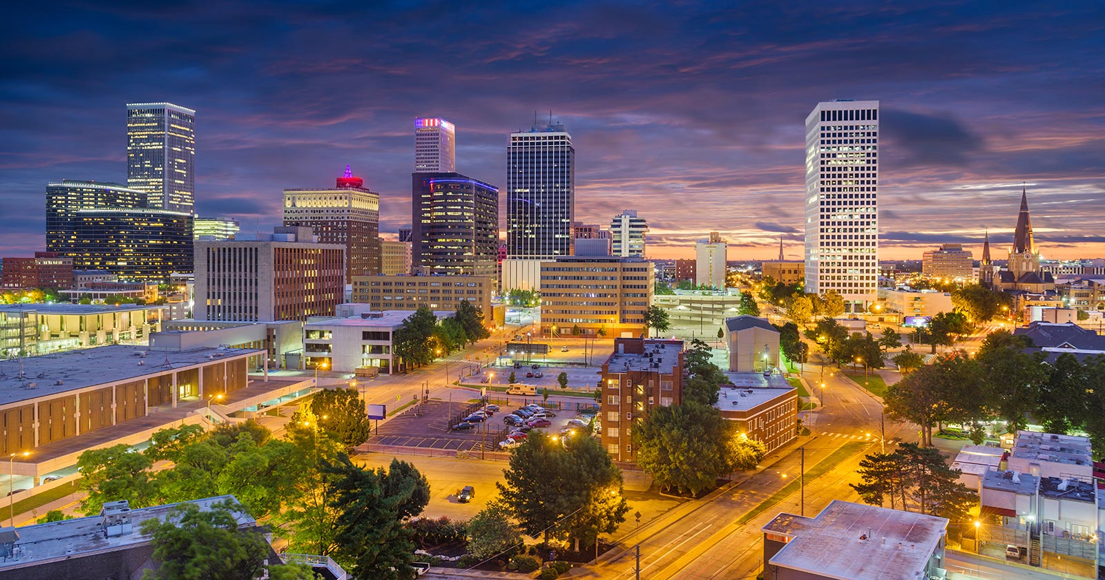

Tunis (arabisch تونس, DMG Tūnis, Zentralatlas-Tamazight ⵜⵓⵏⵙ Tunes) ist die Hauptstadt Tunesiens und Provinzhauptstadt des gleichnamigen Gouvernements. Sie ist die größte Stadt Tunesiens und hatte im Jahr 2014 laut Zensus 1.056.247 Einwohner. In der Agglomeration wohnen etwa zwei Millionen Einwohner (Juni 2014).[2] Ihr historischer Kern, die Médina, steht auf der UNESCO-Welterbe-Liste.
Nachdem die Stadt ein bescheidenes Dorf im Schatten von Karthago, Kairouan und danach Mahdia gewesen war, wurde sie am 20. September 1159 (5. Ramadan 554 des muslimischen Kalenders) unter der Regierung der Almohaden als Hauptstadt genannt. Ihr Status wurde danach im Jahr 1228 von den Hafsiden bestätigt und auch nach der Unabhängigkeit des Landes von Frankreich am 20. März 1956.
Tunis ist die ökonomische und kommerzielle Hauptstadt Tunesiens. Ihr dichtes Straßen- und Autobahnnetz und ihre relativ fortgeschrittene Fluganbindung machen sie zu einem Konvergenzpunkt des Nationalverkehrs. Diese Situation ist ein Ergebnis einer langen zentralistischen Politik, die dazu beigetragen hat, dass sich alle wichtigen Institutionen in Tunis befinden.
Im Laufe des 20. Jahrhunderts hat sich die Agglomeration außerhalb der Grenzen der Gemeinde erweitert. Zurzeit erstreckt sich Tunis über vier Gouvernorats, Tunis, l'Ariana, Ben Arous und La Manouba, und wird Le Grand Tunis (das große Tunis) genannt.
チュニス(Tunis、تونس ラテン文字転写 : Tūnis トゥーニス)は、チュニジア共和国の首都であり、同国のチュニス県の県都でもある。また同国の商業・工業の中心地で、アフリカ有数の世界都市である。2014年のシンクタンクの発表によると、世界第81位の都市と評価されている。北アフリカではカイロ、カサブランカに次ぐ第3位である。 人口約83万人(2004年12月現在)。近郊を含む都市的地域の人口は235万人であり、世界第164位である[1]。市街はチュニス湖とその西方の塩湖セブカ・セジューミ(fr)の間の地峡部にあり、チュニス湖は、地峡部を横断する運河で、地中海・チュニス湾に面する外港のラ・グレットと結ばれる。オリーブ油・リン鉱石などを輸出。チュニス大学がある。
Tunis (Arabic: تونس ![]() Tūnis) is the capital and largest city of Tunisia. The greater metropolitan area of Tunis, often referred to as "Grand Tunis", has about 2,700,000 inhabitants, making it the third-largest city in the Maghreb region (after Casablanca and Algiers) and the sixteenth-largest in the Arab world.
Tūnis) is the capital and largest city of Tunisia. The greater metropolitan area of Tunis, often referred to as "Grand Tunis", has about 2,700,000 inhabitants, making it the third-largest city in the Maghreb region (after Casablanca and Algiers) and the sixteenth-largest in the Arab world.
Situated on a large Mediterranean Sea gulf (the Gulf of Tunis), behind the Lake of Tunis and the port of La Goulette (Ḥalq il-Wād), the city extends along the coastal plain and the hills that surround it. At its core lies its ancient medina, a World Heritage Site. East of the medina through the Sea Gate (also known as the Bab el Bhar and the Porte de France) begins the modern city, or Ville Nouvelle, traversed by the grand Avenue Habib Bourguiba (often referred to by popular press and travel guides as "the Tunisian Champs-Élysées"), where the colonial-era buildings provide a clear contrast to smaller, older structures. Further east by the sea lie the suburbs of Carthage, La Marsa, and Sidi Bou Said. As the capital city of the country, Tunis is the focus of Tunisian political and administrative life; it is also the centre of the country's commercial and cultural activities. It has two cultural centres, as well as a municipal theatre that is used by international theatre groups and a summer festival, the International Festival of Carthage, which is held in July.
Tunis ([ty.nis] ; arabe : تونس, tūnis [ˈtuːnɪs]2 Écouter) est la ville la plus peuplée et la capitale de la Tunisie. Elle est aussi le chef-lieu du gouvernorat du même nom depuis sa création en 1956. Située au nord du pays, au fond du golfe de Tunis dont elle est séparée par le lac de Tunis, la cité s'étend sur la plaine côtière et les collines avoisinantes. Son cœur historique est la médina, inscrite au patrimoine mondial de l'Unesco.
Bourgade modeste placée dans l'ombre de Carthage, Kairouan puis Mahdia, elle est finalement désignée comme capitale le 20 septembre 1159 (5 ramadan 554 du calendrier musulman), sous l'impulsion des Almohades, puis confirmée dans son statut sous la dynastie des Hafsides en 1228 et à l'indépendance du pays le 20 mars 1956.
Tunis est la capitale économique et commerciale de la Tunisie. La densité de son réseau routier, autoroutier et sa structure aéroportuaire en font un point de convergence pour les transports nationaux. Cette situation est issue d'une longue évolution, en particulier des conceptions centralisatrices qui donnent un rôle considérable à la capitale et tendent à y concentrer à l'extrême les institutions.
En 2014, la population de la municipalité de Tunis intra-muros est de 638 845 habitants d'après le recensement de l'Institut national de la statistique1. Néanmoins, au cours du XXe siècle, l'agglomération s'est largement développée hors des limites de la municipalité, s'étendant sur quatre gouvernorats, Tunis, l'Ariana, Ben Arous et La Manouba. Le Grand Tunis compte 2 643 695 habitants en 2014, soit environ 14 % de la population du pays.
Tunisi (AFI: [ˈtunizi][2]; in arabo: تونس, Tūnis, in francese Tunis, giornalisticamente chiamata anche Cartagine) è una città di 1.056.247 abitanti dell'Africa settentrionale, capitale e massimo porto della Tunisia (di cui è la città più popolosa) e capitale del governatorato omonimo. Si trova sulle rive di una laguna presso l'antica Cartagine, unita al Mar Mediterraneo da un canale navigabile di circa 10 km che la collega all'avamporto di La Goletta.
Nata come modesto villaggio situato all'ombra di Cartagine, Kairouan e Mahdia, Tunisi è finalmente stata designata come capitale il 20 settembre 1159 (5 ramadan 554, per il calendario musulmano) per volontà della dinastia degli Almohadi, successivamente confermata dentro il proprio statuto sotto la dinastia hafside nel 1228 e anche all'indipendenza del paese, il 20 marzo 1956.
Tunisi è la capitale economica e commerciale della Tunisia. La densità della rete stradale, autostradale e della struttura aeroportuale della città ne fanno un punto di convergenza per i trasporti nazionali. Questa situazione è il risultato di una lunga evoluzione, in particolare della concezione centralistica che ha dato un ruolo considerevole alla capitale e che ha fatto in modo che vi si concentrassero le istituzioni principali.
Túnez (en árabe, تونس, en bereber: Tunest) es la capital de la República Tunecina ininterrumpidamente desde que los almohades le dieran ese título en 1159 y la dinastía de los hafsidas confirmase su estatus en 1228.[aclaración requerida] También es la capital de la gobernación homónima desde su creación, en 1956. Es el centro de las actividades industriales, comerciales, culturales, y políticas. Está situada al norte, al final del golfo de Túnez, a continuación del lago de Túnez o laguna del Behira, entre la llanura costera y las colinas que la rodean. Está unida por un canal al puerto de La Goleta (La Goulette en francés). Según el censo de 2004, en ella viven 728 453 habitantes (alrededor de un 10 % de la población estatal),1 llamados tunecinos,2 lo que la convierte en la ciudad más poblada del país; esta cifra aumenta hasta 2 380 500 personas en su área metropolitana.
 FIFA Fussball-Weltmeisterschaft 1990

 History

 International cities
 Turin
Turin

 International cities
 *World Design Capital
 Italy
Italy
 Winter Olympics
 2006 Winter Olympics

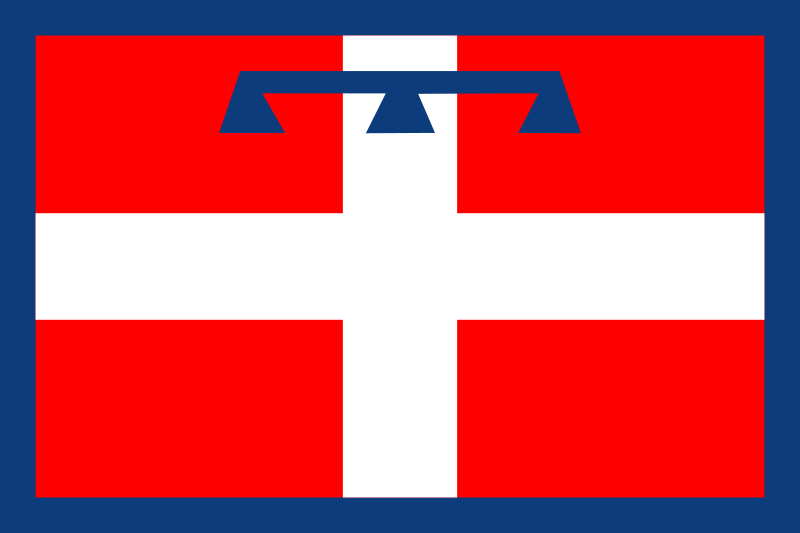 Piemonte
 Turin
Turin

 Ski vacation

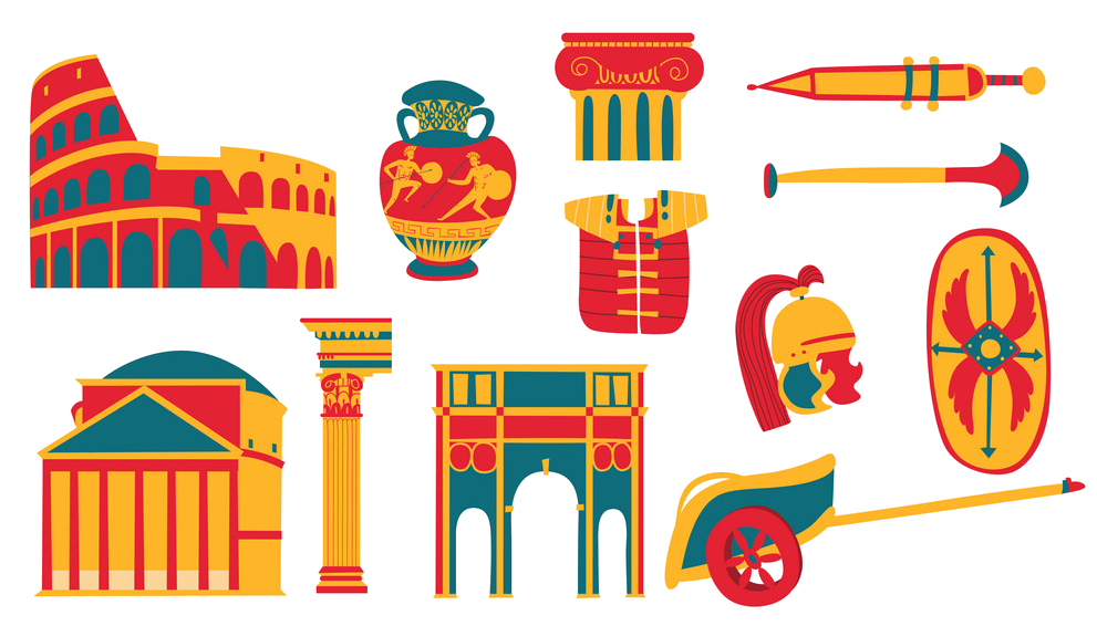 Cities founded by the Romans

 World Heritage

都灵(意大利语:Torino [toˈriːno] ![]() 聆听;皮埃蒙特语:Turin [tyˈɾiŋ];拉丁语:Augusta Taurinorum),中国大陆和港澳地区称为都灵,台湾称为杜林,是位于意大利北部的重要城市,皮埃蒙特大区和都灵广域市的首府。它坐落在波河的左岸,距离米兰大约140千米(87英里),阿尔卑斯山环绕在城市的西北。都灵中心区有面积130.17km²,人口911,534[2],是意大利人口第四多的城市;都灵城市区有面积1,126.6 km²,人口1,745,221[3];都灵都市圈有面积1,977 km²,人口2,200,000[4](占意大利总人口的3.4%[5])。
聆听;皮埃蒙特语:Turin [tyˈɾiŋ];拉丁语:Augusta Taurinorum),中国大陆和港澳地区称为都灵,台湾称为杜林,是位于意大利北部的重要城市,皮埃蒙特大区和都灵广域市的首府。它坐落在波河的左岸,距离米兰大约140千米(87英里),阿尔卑斯山环绕在城市的西北。都灵中心区有面积130.17km²,人口911,534[2],是意大利人口第四多的城市;都灵城市区有面积1,126.6 km²,人口1,745,221[3];都灵都市圈有面积1,977 km²,人口2,200,000[4](占意大利总人口的3.4%[5])。
都灵是一国际化的欧洲城市,[6][7] 都灵有时被称为“意大利自由的摇篮”、[8]、“阿尔卑斯之都”、“萨沃亚之都”。它拥有众多的文化设施和其他名胜。都灵因为它的巴洛克、洛可可和新古典主义法式建筑而举世闻名。它的很多广场、城堡、庭园和宫殿(如贵妇宫),都是由西西里建筑师菲利波·尤瓦拉建造的,他在设计时借鉴了法国经典建筑凡尔赛宫。[9] 这些法式建筑的典范包括:王宫、斯杜皮尼吉行宫和苏佩尔加大教堂。许多意大利高等教育机构位于此地,如都灵大学、都灵理工大学、都灵美术学院等。还有许多重要和著名的博物馆,如埃及博物馆[10] 和安托内利尖塔。
都灵曾经是欧洲重要的政治中心。1563年,它成为了萨伏依公国的首都,随后是萨伏依王室统治下的萨丁尼亚王国的首都,最后是意大利统一之后的第一个首都(1861年—1865年)。[11] 同时,它也是萨沃亚王室(意大利王室)的故乡。[12] 虽然因为第二次世界大战,它的大部分政治意义和重要性都丢失了,它还是在战后成为了欧洲重要的工业、商业和贸易的集散地。它现在是意大利的工业中心之一,和米兰、热那亚组成了“工业铁三角”。从经济上来说,都灵紧随罗马和米兰之后,是意大利第三大城市。[13] 它的GDP高达580亿美元,排名世界第78位。[14] 虽然不像罗马、米兰那样是“世界级城市”,GaWC评其为“适合发展”级别。[15]
都灵是意大利汽车制造业的摇篮,被称为“意大利汽车之都”或者“意大利的底特律”。是汽车品牌菲亚特、蓝旗亚和阿尔法·罗密欧的总部所在地。[16][17] 都灵还拥有足球俱乐部尤文图斯和都灵,举办过2006年冬季奥林匹克运动会。一些国际空间站设备,如和谐号节点舱和哥伦布实验舱,也是在都灵制造的。
トリノ(伊: Torino (![]() 音声ファイル))は、イタリア共和国ピエモンテ州にある都市で、その周辺地域を含む人口約87万人の基礎自治体(コムーネ)。ピエモンテ州の州都であり、トリノ県の県都。イタリア第4の人口規模を持つ。都市圏の人口は約170万人。一時は100万都市だったが昨今は人口減少が著しい。
音声ファイル))は、イタリア共和国ピエモンテ州にある都市で、その周辺地域を含む人口約87万人の基礎自治体(コムーネ)。ピエモンテ州の州都であり、トリノ県の県都。イタリア第4の人口規模を持つ。都市圏の人口は約170万人。一時は100万都市だったが昨今は人口減少が著しい。
ミラノに次ぐイタリア第2の工業都市であり、自動車工業の拠点である。近代にはサルデーニャ王国の首都が置かれた。サヴォイア王家の王宮群は世界遺産に登録されている。
Turin (/tjʊəˈrɪn, ˈtʊərɪn/;[2] Italian: Torino [toˈriːno] (![]() listen); Piemontese: Turin [tyˈriŋ])[3] is a city and an important business and cultural centre in northern Italy. It is the capital city of the Metropolitan City of Turin (an administrative division of Italy) and of the Piedmont region, and was the first capital city of Italy from 1861 to 1865. The city is located mainly on the western bank of the Po River, in front of Susa Valley, and is surrounded by the western Alpine arch and Superga Hill. The population of the city proper is 883,281 (30 November 2017)[4] while the population of the urban area is estimated by Eurostat to be 1.7 million inhabitants. The Turin metropolitan area is estimated by the OECD to have a population of 2.2 million.[5]
listen); Piemontese: Turin [tyˈriŋ])[3] is a city and an important business and cultural centre in northern Italy. It is the capital city of the Metropolitan City of Turin (an administrative division of Italy) and of the Piedmont region, and was the first capital city of Italy from 1861 to 1865. The city is located mainly on the western bank of the Po River, in front of Susa Valley, and is surrounded by the western Alpine arch and Superga Hill. The population of the city proper is 883,281 (30 November 2017)[4] while the population of the urban area is estimated by Eurostat to be 1.7 million inhabitants. The Turin metropolitan area is estimated by the OECD to have a population of 2.2 million.[5]
The city has a rich culture and history, being known for its numerous art galleries, restaurants, churches, palaces, opera houses, piazzas, parks, gardens, theatres, libraries, museums and other venues. Turin is well known for its Renaissance, Baroque, Rococo, Neo-classical, and Art Nouveau architecture. Many of Turin's public squares, castles, gardens and elegant palazzi such as the Palazzo Madama, were built between the 16th and 18th centuries. A part of the historical center of Turin was inscribed in the World Heritage List under the name Residences of the Royal House of Savoy.
The city used to be a major European political center. From 1563, it was the capital of the Duchy of Savoy, then of the Kingdom of Sardinia ruled by the Royal House of Savoy, and the first capital of the unified Italy (the Kingdom of Italy) from 1861 to 1865.[6][7] Turin is sometimes called "the cradle of Italian liberty" for having been the birthplace and home of notable individuals who contributed to the Risorgimento, such as Cavour.[8]
The city currently hosts some of Italy's best universities, colleges, academies, lycea and gymnasia, such as the University of Turin, founded in the 15th century, and the Turin Polytechnic. In addition, the city is home to museums such as the Museo Egizio[9] and the Mole Antonelliana. Turin's attractions make it one of the world's top 250 tourist destinations and the tenth most visited city in Italy in 2008.[10]
Even though much of its political significance and importance had been lost by World War II, Turin became a major European crossroad for industry, commerce and trade, and is part of the famous "industrial triangle" along with Milan and Genoa. Turin is ranked third in Italy, after Milan and Rome, for economic strength.[11] With a GDP of $58 billion, Turin is the world's 78th richest city by purchasing power.[12] As of 2010, the city has been ranked by GaWC as a Gamma World city.[13] Turin is also home to much of the Italian automotive industry.[14][15]
Turin is well known as the home of the Shroud of Turin, the football teams Juventus F.C. and Torino F.C., the headquarters of automobile manufacturers FIAT, Lancia and Alfa Romeo, and as host of the 2006 Winter Olympics.
Turin (Torino en italien, Turin en piémontais) est une ville italienne, chef-lieu de la ville métropolitaine de Turin et de la région du Piémont. Turin fut la capitale des États de Savoie de 1563 à 1713, du royaume de Sicile de 1713 à 1720, du royaume de Sardaigne de 1720 à 1861 et du royaume d'Italie de 1861 à 1865.
Torino (AFI: /toˈrino/[4], ; Turin in piemontese[5]) è un comune italiano di 879 808 abitanti[2], capoluogo dell'omonima città metropolitana e della regione Piemonte.
Cuore di un'area metropolitana che conta quasi 2 000 000 di abitanti su una superficie approssimativa di circa 2 300 km²,[6] la città di Torino è il quarto comune italiano per popolazione, il terzo complesso economico-produttivo del Paese e costituisce uno dei maggiori poli universitari, artistici, turistici, scientifici e culturali d'Italia. Nel suo territorio sono inoltre presenti aree ed edifici inclusi in due beni protetti dall'UNESCO: alcuni palazzi e zone facenti parte del circuito di residenze sabaude in Piemonte (patrimonio dell'umanità[7]) e l'area delle colline del Po (riserva della biosfera).
Città dalla storia bimillenaria, fu fondata probabilmente come Taurasia nei pressi della posizione attuale attorno al III secolo a.C. dai Taurini, popolazione ligure (o celto-ligure) dell'Italia settentrionale, e trasformata in colonia romana da Augusto col nome di Iulia Augusta Taurinorum nel I secolo a.C. Dopo il dominio ostrogoto fu capitale di un importante ducato longobardo, per poi passare, dopo essere divenuta capitale di marca carolingia, sotto la signoria nominale dei Savoia nell'XI secolo. Città dell'omonimo ducato, nel 1563 ne divenne capitale. Dal 1720 fu capitale del Regno di Sardegna (anche se solo de facto fino alla fusione perfetta del 1847, quando lo divenne anche formalmente),[8] stato che nel XIX secolo avrebbe portato all'unificazione italiana e che fece di Torino la prima capitale del Regno d'Italia (dal 1861 al 1865).
È stata la patria, natia o adottiva, di alcuni fra i più grandi scrittori e letterati italiani del XIX e XX secolo, tra i quali Edmondo De Amicis, Emilio Salgari, Italo Calvino, Natalia Ginzburg, Norberto Bobbio, Cesare Pavese e Primo Levi.
Sede nel 2006 dei XX Giochi olimpici invernali, città natale di alcuni fra i maggiori simboli del Made in Italy nel mondo, come il Martini, il cioccolato gianduja e il caffè espresso, è il fulcro dell'industria automobilistica italiana, nonché importante centro dell'editoria, del sistema bancario e assicurativo, delle tecnologie dell'informazione, del cinema, dell'enogastronomia, del settore aerospaziale, del disegno industriale e dello sport.
Turín (en italiano: Torino, en piamontés: Turin) es una ciudad, importante centro cultural y de negocios del norte de Italia, capital de la región de Piamonte, localizada principalmente en el margen izquierdo del río Po y rodeada por los Alpes. El área metropolitana de Turín, según la Organización para la Cooperación y el Desarrollo Económico, tiene una población de alrededor de 2.200.000 habitantes.2
La ciudad es rica en cultura e historia. Es conocida por sus numerosos museos de arte, sus restaurantes, sus iglesias, sus palacios, sus teatros de ópera, sus plazas, sus parques, sus jardines y sus bibliotecas, entre otros atractivos. Turín es ampliamente reconocida por su arquitectura barroca, rococo, neoclásica y Art Nouveau. Muchas de las plazas públicas de la ciudad, de los castillos, jardines y elegantes palacios (como el Palazzo Madama), fueron construidos por el arquitecto siciliano Filippo Juvarra, quien diseñó estos edificios en el estilo barroco y clásico del Palacio de Versalles, en Francia.3 Ejemplos de estos edificios de inspiración francesa incluyen el Palacio Real de Turín, el Pabellón de caza de Stupinigi y la Basílica de Superga.
Turín es frecuentemente llamada la «cuna de Italia» por ser el lugar de nacimiento de importantes políticos que contribuyeron con la unificación de Italia, como Cavour.4 La ciudad actualmente alberga algunas de las mejores universidades de Italia, como la Universidad de Turín, de seis siglos de antigüedad, y el Politécnico de Turín. También se encuentran en la ciudad museos prestigiosos e importantes, como el Museo Egipcio de Turín5 (el más antiguo en el mundo y considerado el segundo más importante en el mundo después de El Cairo por valor de los hallazgos) y la Mole Antonelliana. Los diversos monumentos y atracciones de Turín la convierten en una de los 250 principales destinos turísticos del mundo y en la décima ciudad más visitada de Italia para el año 2008.6
La ciudad solía ser un importante centro político europeo, siendo la primera capital de Italia en 1861 y la ciudad de residencia de la Casa de Saboya, la familia real de Italia.7 A pesar de que mucho de su significado e importancia política se había perdido cuando comenzó la Segunda Guerra Mundial, se convirtió en uno de los principales centros industriales y comerciales de Europa, y actualmente es una de las ciudades más industrializadas de Italia, formando junto con Milán y Génova el famoso "triángulo industrial". A pesar de tener muchos menos habitantes que Roma y Milán, Turín es la tercera ciudad más rica de Italia, después de estas.8 Con un Producto Interno Bruto de 58.000 millones de dólares, Turín es la ciudad número 78 en la lista de las más ricas del mundo por su poder adquisitivo.91011 Turín es también la sede de gran parte de la potente industria automovilística italiana.1213
La ciudad es también conocida por resguardar la «Sábana Santa», por ser la sede de los equipos de fútbol Juventus F.C. y Torino Football Club, el lugar donde se producen los coches FIAT, Lancia, Alfa Romeo, Maserati y la sede de los juegos olímpicos de invierno de 2006. Varios módulos de la Estación Espacial Internacional, como el Harmony y el Columbus, fueron fabricados en Turín.
Fue la capital del Ducado de Saboya desde 1563, luego del Reino de Cerdeña y finalmente la primera capital de Italia.14 Piero Fassino fue el alcalde de Turín, elegido en mayo de 2011 para un mandato de 5 años, representando a una coalición de centro-izquierda y fue a su vez el sucesor de Sergio Chiamparino. Desde junio de 2016, la alcaldesa es la economista Chiara Appendino, del partido Movimento 5 Estrellas.
Тури́н (итал. Torino [toˈriːno], пьем. Turin [tyˈɾiŋ]) — город в Италии, важный деловой и культурный центр северной Италии. Административный центр региона Пьемонт и одноимённой провинции Турин.
Расположен при впадении реки Дора-Рипария в реку По, на Паданской равнине у подножия Западных Альп, на подступах к Альпийским перевалам.
Четвёртый после Рима, Милана и Неаполя город Италии по количеству жителей, насчитывает около 880 тыс. чел. (2017), вместе с пригородами 1,7 миллион человек.
Город имеет богатую историю и культуру, и известен своими арт-галереями, дворцами, театрами, музеями, парками. Турин также знаменит своей архитектурой в стилях барокко, рококо, неоклассицизма и модерна.
Большая часть замков, дворцов (в частности Палаццо Мадама), садов и площадей были построены в XVI-XVIII вв. в процессе перевода столицы Савойского герцогства (позднее Сардинское королевство) из Шамбери (ныне Франция) в Турин.
Турин иногда называют «колыбелью итальянской свободы», за то, что он является родным городом заметных политиков и людей, внесших большой вклад в Рисорджименто, например Камилло Бенсо ди Кавур. В городе находятся множество университетов, колледжей, академий, лицеев и гимназий. Среди них основанный в XV веке Туринский университет. Самыми известными достопримечательностями Турина являются Египетский музей и символ города Моле Антонеллиана. Эти и многие другие достопримечательности делают город привлекательным для туристов со всего мира и позволяют Турину входить в десятку самых посещаемых городов Италии[3].
Город в XIX веке являлся важным политическим центром Европы. В 1861 году Турин стал первой столицей объединенной Италии и наряду с этим являлся столицей для Савойского дома, правящей династии Королевства Италии. Несмотря на то, что большая часть политической значимости Турина была растеряна после отмены монархии в Италии, город остается важным промышленным, экономическим и торговым центром Европы и Италии. Турин является третьим по экономическим показателям городом страны, после Милана и Рима. Также Турин является своего рода столицей автомобилестроения Италии. В городе располагаются штаб-квартиры компаний FIAT, Lancia, Iveco.
Город известен в мире благодаря христианской реликвии — Туринской плащанице, а также футбольным командам «Ювентус» и «Торино». Турин — столица зимних Олимпийских игр 2006 года.
Покровителем города считается Св. Иоанн Креститель (итал. San Giovanni Battista). Праздник города — 24 июня.

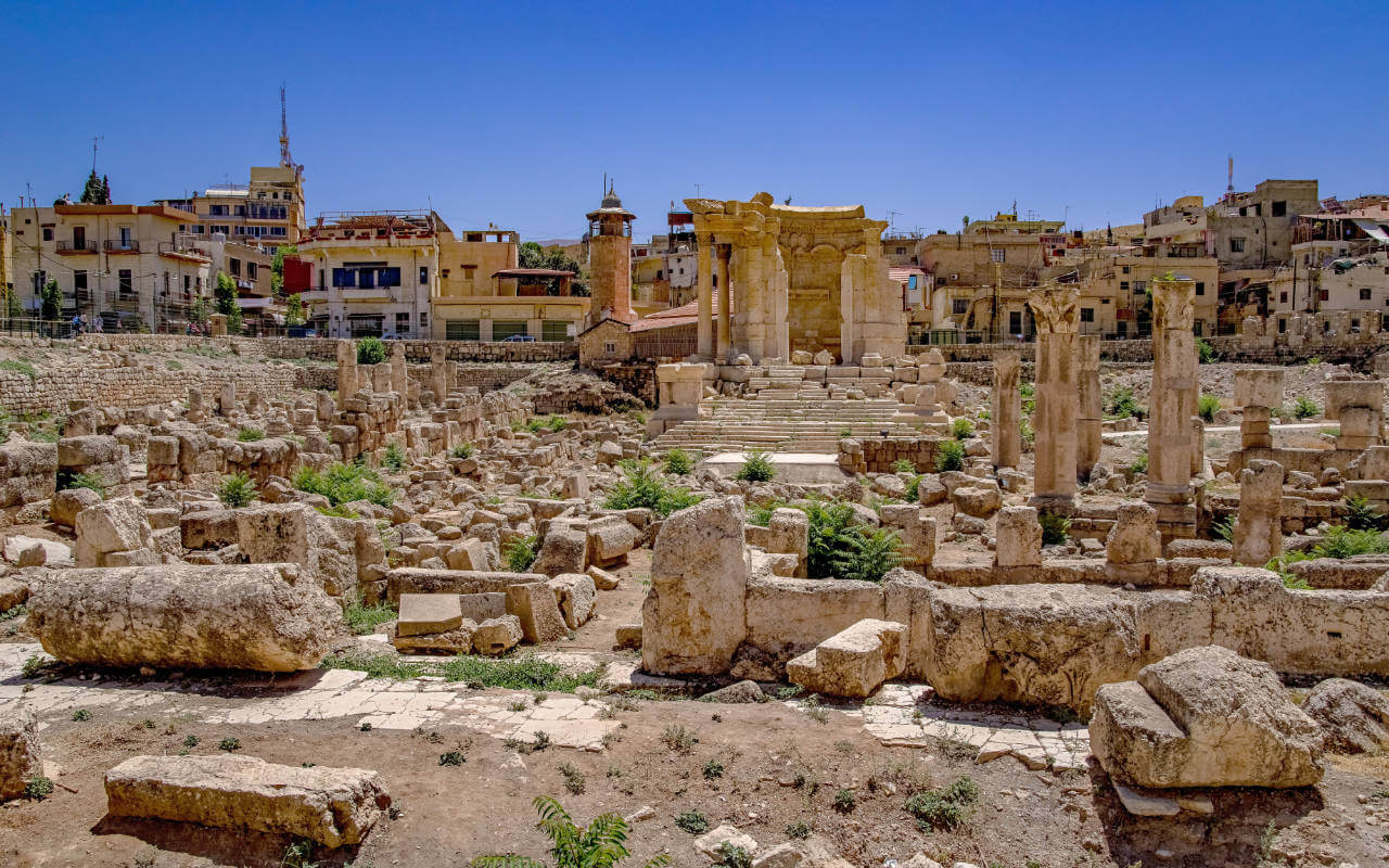
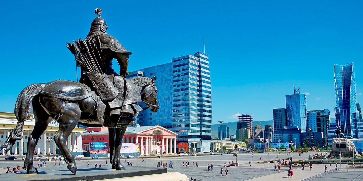

乌兰巴托(蒙古语:Улаанбаатар,转写:Ulaanbaatar,IPA:[ʊɮɑːm.bɑːtʰɑ̆r]),原名库伦(хүрээ),是蒙古国首都。乌兰巴托位于蒙古高原中部,面积4704平方公里,人口1,444,669(2018),占蒙古国人口将近一半,是蒙古国最大的城市,政治、交通中心。市区沿着土拉河布局,呈狭长形,西部有乌兰巴托成吉思汗国际机场,市区南面有蒙古的圣山,山顶有宰桑纪念碑,可俯瞰全市。市中心有国家宫和成吉思汗广场。连接中俄的蒙古纵贯铁路贯穿乌兰巴托,北至色楞格省苏赫巴托尔,南抵中国内蒙古自治区二连浩特市。
Ulaanbaatar (mongolisch Улаанбаатар, in mongolischer Schrift ᠤᠯᠠᠭᠠᠨᠪᠠᠭᠠᠲᠤᠷ; übersetzt „Roter Held“; verbreitete Schreibweise nach russisch Улан-Батор: Ulan-Bator oder Ulan Bator; gegründet als Örgöö, in Europa früher auch Urga genannt) ist die Hauptstadt der Mongolei.
Knapp die Hälfte der mongolischen Gesamtbevölkerung, rund 1.462.973 Menschen, lebt in der mongolischen Hauptstadt.[1][2]
Die Hauptstadt ist das politische, wirtschaftliche und kulturelle Zentrum der Mongolei. Die Stadt bildet eine eigenständige Verwaltungseinheit und gehört keinem Aimag (Provinz) an. Das Verwaltungsgebiet von Ulaanbaatar stellt kein zusammenhängendes Stadtgebiet dar, sondern ist mit seiner geringen Bevölkerungsdichte und der außerhalb der eigentlichen Stadt dominierenden ländlichen Siedlungsstruktur eher mit einer kleinen Provinz vergleichbar. Zudem zählen noch die Exklaven Bagakhangai und Baganuur zum Stadtgebiet.
Touristisch bedeutsam sind das Naturkundemuseum, das Süchbaatar-Denkmal auf dem gleichnamigen Platz, der Winterpalast des Bogd Khan und das Dsaisan-Denkmal, das an den Zweiten Weltkrieg erinnert. Es liegt auf einem Hügel südlich der Stadt, von dem aus man einen schönen Blick hat. Die öffentliche Bücherei stellt eine einzigartige Sammlung von Sanskrit-Manuskripten aus dem 11. Jahrhundert aus. Auch die buddhistischen Tempelmuseen und das Gandan-Kloster sind besuchenswert.
ウランバートル(モンゴル語: Улаанбаатар、ᠤᠯᠠᠭᠠᠨᠪᠠᠭᠠᠲᠤᠷ 転写:Ulaanbaatar オラーンバータル)は、モンゴル国の首都であり最大の都市。同国中部、トーラ川沿岸の標高約1,300mの場所に位置する。人口は1,314,500人(2014年統計)で、同国の人口のおよそ半数近くが集まる極端な一極集中となっている。名実ともにモンゴルの政治・経済の中心地で、中国からロシア(欧州)に至る国際鉄道の主要な中継地。主産業は鉱物、食肉加工、製粉、製乳。旧名はウルガ(ᠥᠷᠭᠦᠭᠡ Өргөө;Örgöö)、またはフレー(ᠬᠦᠷᠢᠶᠡ Хүрээ ; Khüree)。
Ulaanbaatar, formerly anglicised as Ulan Bator /ˌuːlɑːn ˈbɑːtər/ (Mongolian: Улаанбаатар, [ʊɮɑːm.bɑːtʰɑ̆r], literally "Red Hero"), is the capital and largest city of Mongolia. The city is not part of any aimag (province), and its population as of 2014 was over 1.3 million, almost half of the country's population.[3] The municipality is in north central Mongolia at an elevation of about 1,300 meters (4,300 ft) in a valley on the Tuul River. It is the country's cultural, industrial and financial heart, the centre of Mongolia's road network and connected by rail to both the Trans-Siberian Railway in Russia and the Chinese railway system.[4]
The city was founded in 1639 as a nomadic Buddhist monastic centre. It settled permanently at its present location, the junction of the Tuul and Selbe rivers, in 1778. Before then, it changed location 28 times, each new location being chosen ceremonially. In the twentieth century, Ulaanbaatar grew into a major manufacturing center.[4] Ulaanbaatar is a member of the Asian Network of Major Cities 21. The city's official website lists Moscow, Hohhot, Seoul, Sapporo and Denver as sister cities.
Oulan-Bator3, (en mongol : Улаанбаатар /ʊɮɑːm.bɑːtʰɑ̆r/ « Héros rouge ») est la capitale de la Mongolie. Elle en est à la fois le centre politique, économique, industriel, scientifique et culturel. Administrativement, elle a le statut, unique dans le pays, de municipalité, comparable à celui de province.
La ville, qui s'étire d'est en ouest au fond de la vallée de la rivière Toula, sur une vingtaine de kilomètres, rassemble plus d'un million d'habitants, soit plus du tiers de la population du pays. La vie à Oulan-Bator a été bouleversée par l'afflux de nomades venus de la steppe : en 2011, l'exode rural avait déjà poussé vers UB (le surnom que donnent les Mongols à leur capitale) plus de 500 000 personnes. Oulan-Bator est classée seconde ville la plus polluée au monde par l'OMS4.
Ulan Bator (pronuncia italiana Ulàn Bàtor;[2] in mongolo Улаанбаатар, traslitterato Ulaanbaatar) è la capitale e principale città (1.314.000 ab.) della Mongolia, situata nella parte centro-settentrionale del paese. Il nome attuale della città, attribuito dal 1924, significa "Eroe Rosso"; in precedenza la città era nota come Urga.[3]
Ulán Bator2 (en mongol: Улаанбаатар [Ulaanbaatar])? forma romanizada del mongol cirílico: /ˌuːlɑːn ˈbɑːtər/ y escritura mongol: [ʊɮɑːm.bɑːtʰɑ̆r] Ulaγanbaγatur, lit. Héroe rojo) es la capital y ciudad más poblada de Mongolia. La ciudad es un municipio independiente y no forma parte de otra provincia.
Situada en el norte del país, ligeramente al este del centro de Mongolia, la ciudad se encuentra en el valle que forman las montañas Bogdh Khan, Songino Khairkhan, Chingeltei y Bayanzurkh y que es cruzado por el río Tuul, a 1,350 metros de altitud. Es el centro cultural, industrial y financiero del país, así como un nudo de transporte conectado por carretera con las mayores ciudades de Mongolia y por el ferrocarril con el Transmongoliano y el sistema ferroviario chino.
Ulán Bator fue fundada en 1639 como centro de monasterios budistas y, en el siglo XX, se convirtió en un gran centro manufacturero caracterizado por sus amplios bulevares y plazas y por su arquitectura de estilo soviético de mediados del siglo XX.
Se compone de un barrio central de estilo soviético, rodeado y mezclado con torres residenciales de hormigón y yurtas. Es la capital asiática más barata para los trabajadores extranjeros.3
Ула́н-Ба́тор (монг. Улаанбаатар[4] [ʊɮɑːŋ.bɑːtʰɑ̆r]  Ulaganbagator «красный богатырь») — столица Монголии, самый холодный столичный город на Земле. Крупнейший по численности населения город Монголии — 1 405 000 человек (ноябрь 2017 года[2]), выделенный в самостоятельную административную единицу.
Город расположен в долине реки Туул, на высоте 1300—1350 м. Площадь города — 4704,4 км²[5]. Граничит с аймаком Туве (Центральный).
Улан-Батор — политический, коммерческий, культурный и научный центр Монголии[6][7], а также важный финансовый центр всей Азии[8]. Он является крупным транспортным узлом[9]. Город обслуживается международным аэропортом Чингисхана и двумя аэродромами, строится новый международный аэропорт. Железнодорожный вокзал Улан-Батора является центром регионального и международного железнодорожного сообщения[10].
Туристов привлекают исторический центр Улан-Батора[11][12] и священная гора Богд-Хан-Уул в черте города, внесённая в предварительный список Всемирного наследия ЮНЕСКО[13].
 Chelyabinsk Oblast
 Important port
 Arizona-AZ
 Oklahoma-OK
 Friuli-Venezia Giulia

 Mongolei