
漢德百科全書 | 汉德百科全书
 Aerospace

***Airworthiness Certification***International Organizations*AEB*ASI*CNES*CNSA *CSA*DLR*ESA*ISRO*JAXA*KARI*NASA*RoskosmosArtemis programAutomated Transfer VehicleBusiness jetBusiest airports by cargo trafficBusiest airports by passenger trafficHelicopterHistorical civil aircraftAviation administrationMissions to MarsOneworldLunar exploration programSpacecraftSpace stationReusable launch systemSkyTeamSolar MissionStar AllianceLaunchersHydrogen-Hybrid AircraftSpaceportSpace Telescope/Space ObservatoryCivil aircraft
Neutron star Interior Composition Explorer,NICER

Tanegashima Space Center

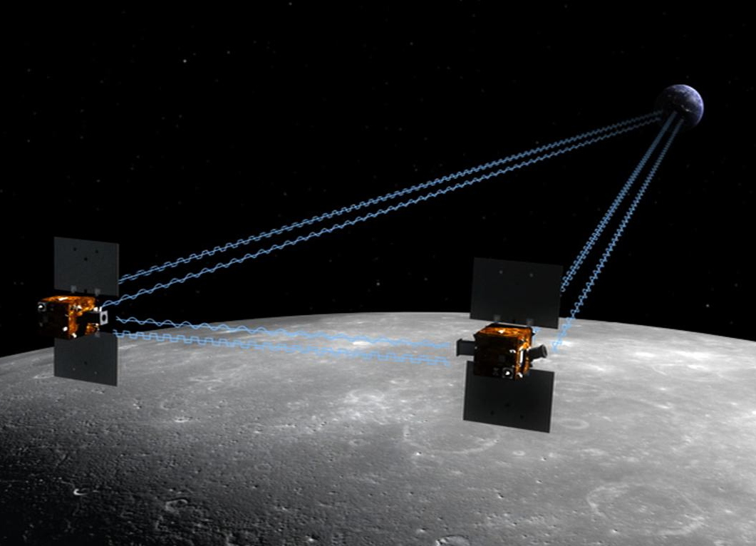
Gravity Recovery and Interior Laboratory,GRAIL
Flughafen Chongqing-Jiangbei/Chongqing Jiangbei International Airport
重庆江北国际机场(IATA代码:CKG;ICAO代码:ZUCK),位于中国重庆市渝北区两路街道,距离市中心19公里,定位为中国门户枢纽机场之一,中国中西部地区首个三座航站楼、三条跑道同时运行的机场。机场飞行区等级为4F级,能够起降波音747和空中客车A380等特大型飞机。枢纽航空公司 中国南方航空 中国国际航空 重庆航空 四川航空 山东航空 西部航空 厦门航空 华夏航空 海南航空 天津航空 深圳航空 东海航空


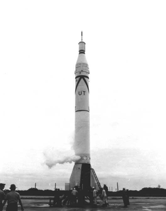
Juno I
Juno

Zhurong-Rover

Landung;landen;aufsetzen
Künstlicher Horizont/Attitude indicator
Ein künstlicher Horizont (englisch artificial horizon oder gyro horizon, auch attitude indicator) ersetzt den natürlichen Horizont, wenn dieser nicht sichtbar ist oder wenn die Raumlage gemessen werden soll.

Ein künstlicher Horizont (englisch artificial horizon oder gyro horizon, auch attitude indicator) ersetzt den natürlichen Horizont, wenn dieser nicht sichtbar ist oder wenn die Raumlage gemessen werden soll. Künstliche Horizonte werden vor allem benötigt
- in der Luftfahrt (insbesondere für den Steig-, Sink- und Kurvenflug),
- zur Fahrwerk- bzw. Fahrzeugstabilisierung,
- bei der Stabilisierung von Kameras, Scannern und Zieleinrichtungen,
- bei der Überwachung und Steuerung von Baumaschinen,
- bei der aktiven Neigetechnik für Schienenfahrzeuge und der Gleisvermessung,
- bei der Zentrierung von GPS- und anderen Funkantennen.
Viele Berechnungen zur Positionsbestimmung, bei denen früher ein künstlicher Horizont notwendig war, werden heute durch GNSS-Satellitenvermessung ersetzt. Dabei geht allerdings der Bezug zum Erdschwerefeld und dem terrestrischen Höhensystem verloren, was bei genauen Ortsbestimmungen zu berücksichtigen ist.
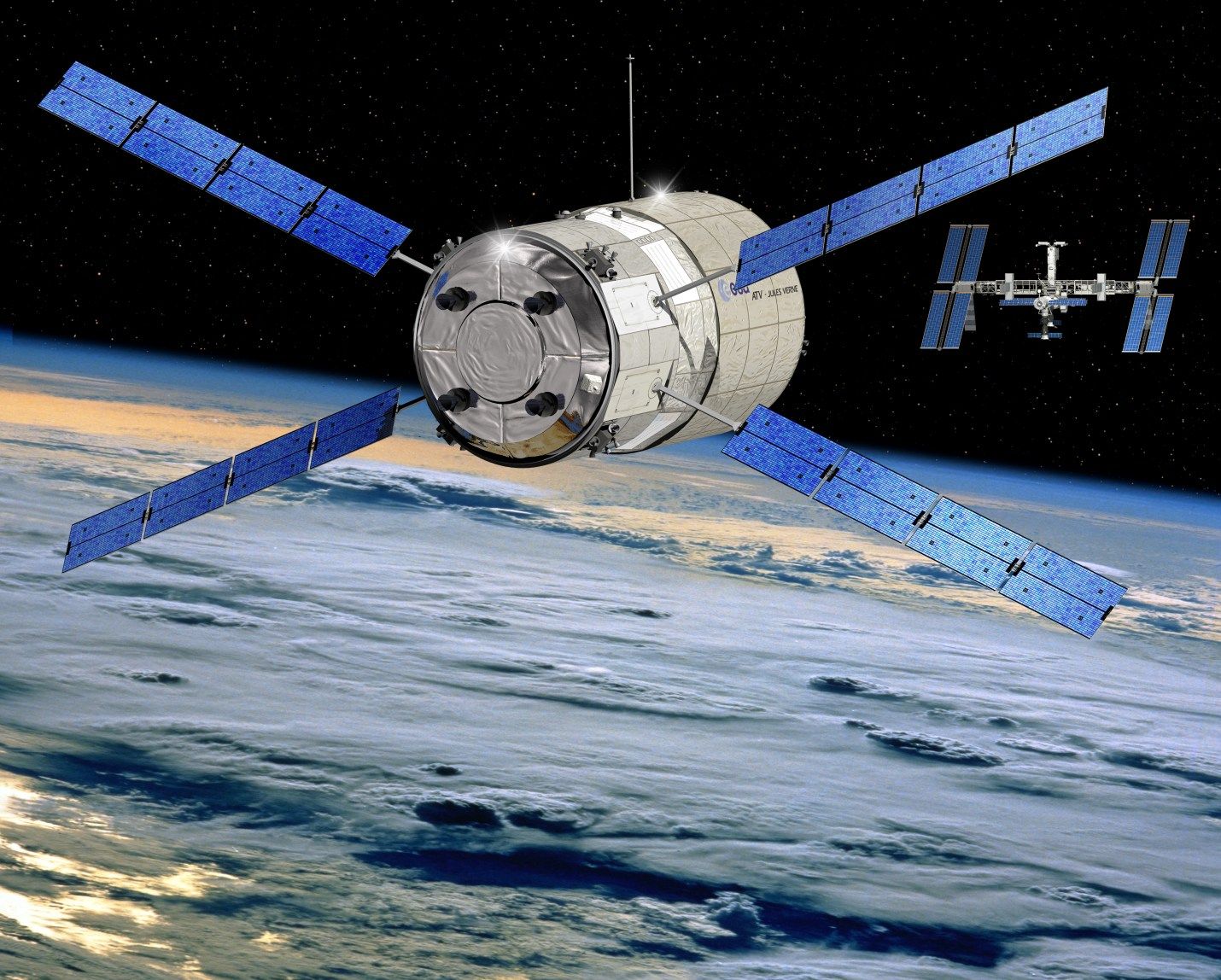
Automated Transfer Vehicle / ATV - automatisches Transferfahrzeug
Diamant


 Astronomy
 Science and technology
 Transport and traffic
 Vacation and Travel
 History

 Military, defense and equipment