
Deutsch-Chinesische Enzyklopädie, 德汉百科
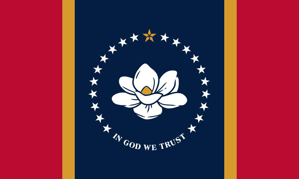
 Mississippi-MS

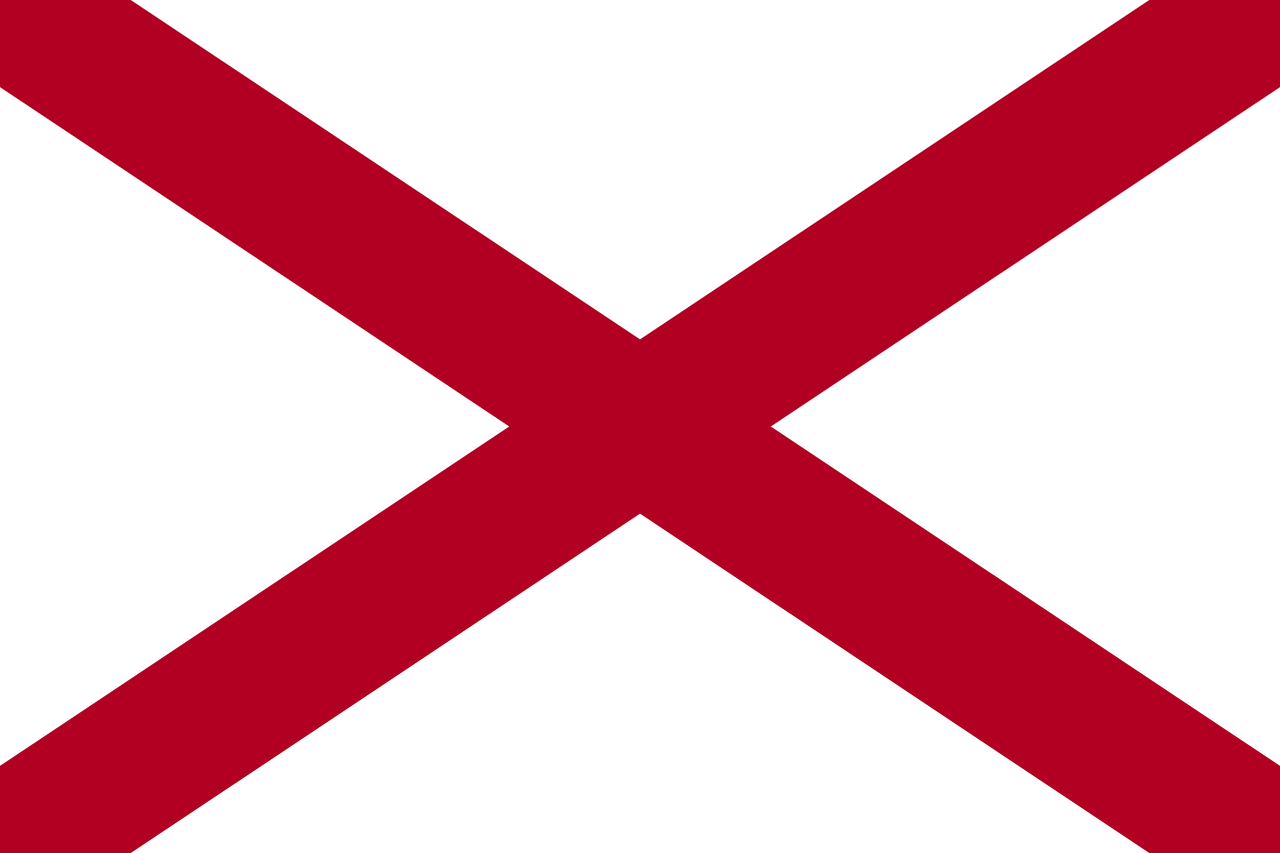 Alabama-AL

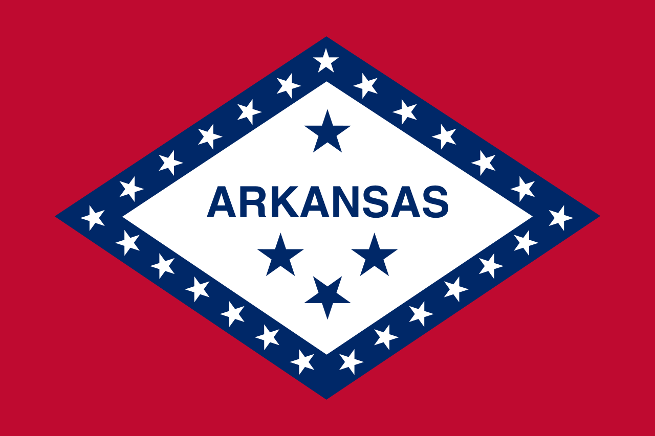 Arkansas-AR

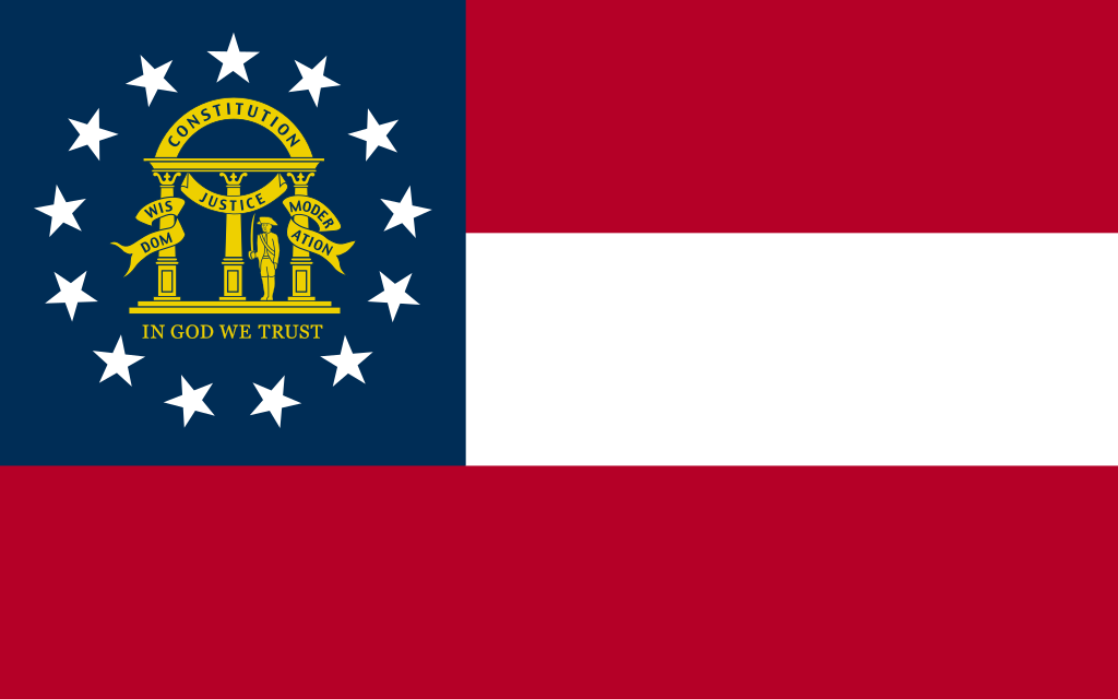 Georgia-GA

 Agriculture, forestry, livestock, fishing

 Mississippi-MS

 North Carolina-NC

 Oklahoma-OK

 Tennessee-TN

 Texas-TX


 Alabama-AL
 Cuba
Cuba

 Florida-FL

 Louisiana-LA
 Mexico
 Mississippi River

 Mississippi-MS

 Texas-TX
 United States

墨西哥湾是北美洲南部大西洋的一海湾,以佛罗里达半岛-古巴-犹加敦半岛一线与外海分割。北为美国,南、西为墨西哥,东南为古巴,东经佛罗里达海峡与大西洋相连,经尤卡坦海峡与加勒比海相接,是著名的墨西哥湾暖流的起点。墨西哥湾形成于3亿年前的地球板块运动。[1]
Der Golf von Mexiko (englisch Gulf of Mexico, spanisch Golfo de México; veraltet: Meerbusen von Mexiko[1]) ist eine nahezu vollständig von Nordamerika eingeschlossene Meeresbucht. Der Golf ist ein Randmeer des Atlantischen Ozeans und der nordwestliche Teil des Amerikanischen Mittelmeers.
湾の東部、北部、および北西部の海岸線はアメリカ合衆国(フロリダ州、アラバマ州、ミシシッピ州、ルイジアナ州、テキサス州)に接し、南西部と南部の海岸線はメキシコ(タマウリパス州、ベラクルス州、タバスコ州、カンペーチェ州、ユカタン州およびキンタナ・ロー州)に接している。また南東部はキューバとの海岸線をもつ。
アメリカとキューバの間にあるフロリダ海峡を経て大西洋に通じており、メキシコとキューバの間にあるユカタン海峡を経てカリブ海へと通じている。支湾として北東部にアパラチー湾、南西部にカンペチェ湾などがある。
メキシコ湾は東西の幅が約1,500km、総面積は約160万 km²で、南の3分の1は熱帯に入る。最大水深はSigsbee Deepでの4,384m。二大海流として黒潮と共に知られるメキシコ湾流はここを起源とし、巨大ハリケーンが頻繁に訪れることでも有名である。
The Gulf of Mexico (Spanish: Golfo de México) is an ocean basin and a marginal sea of the Atlantic Ocean,[1] largely surrounded by the North American continent.[2] It is bounded on the northeast, north and northwest by the Gulf Coast of the United States, on the southwest and south by the Mexican states of Tamaulipas, Veracruz, Tabasco, Campeche, Yucatan, and Quintana Roo, and on the southeast by Cuba. The US states of Texas, Louisiana, Mississippi, Alabama, and Florida border the Gulf on the north, which are often referred to as the "Third Coast", in comparison with the U.S. Atlantic and Pacific coasts.
The Gulf of Mexico formed approximately 300 million years ago as a result of plate tectonics.[3] The Gulf of Mexico basin is roughly oval and is approximately 810 nautical miles (1,500 km; 930 mi) wide and floored by sedimentary rocks and recent sediments. It is connected to part of the Atlantic Ocean through the Florida Straits between the U.S. and Cuba, and with the Caribbean Sea via the Yucatán Channel between Mexico and Cuba. With the narrow connection to the Atlantic, the Gulf experiences very small tidal ranges. The size of the Gulf basin is approximately 1.6 million km2 (615,000 sq mi). Almost half of the basin is shallow continental shelf waters. The basin contains a volume of roughly 2,500 quadrillion liters (550 quadrillion Imperial gallons, 660 quadrillion US gallons, 2.5 million km3 or 600,000 cu mi).[4] The Gulf of Mexico is one of the most important offshore petroleum production regions in the world, comprising one-sixth of the United States' total production.[5]
Le golfe du Mexique est un golfe de l'océan Atlantique, situé au sud-sud-est de l'Amérique du Nord. Il s'étend sur une superficie de 1 550 000 km2. Il baigne la péninsule de Floride, la Louisiane , le Sud-Est du Texas, la côte orientale du Mexique et une partie du littoral nord de Cuba.
Il golfo del Messico è uno dei golfi più grandi del mondo[1], situato nell'Oceano Atlantico, tra la costa dell'America settentrionale e centrale ad ovest e il mar dei Caraibi ad est.
Situato a Sud degli Stati Uniti e a Nord del Messico, e delimitato da due grandi penisole, lo Yucatán e la Florida, rispettivamente in Messico e negli Stati Uniti, comprende i litorali di undici stati: Florida, Alabama, Mississippi, Louisiana e Texas (per gli Stati Uniti) e Tamaulipas, Veracruz, Tabasco, Campeche, Yucatán e Quintana Roo (per gli Stati del Messico). Sul golfo si affaccia anche lo Stato di Cuba ed è collegato ad est al Mar dei Caraibi.
L'ampia sezione del golfo compresa tra la penisola dello Yucatán e la costa messicana assume la denominazione di baia di Campeche, mentre insieme al Mar dei Caraibi, forma il Mediterraneo Americano, espressione non riportata normalmente nelle carte, ma usata in oceanografia, geologia e biologia marina[2]. In esso viene generata la famosa Corrente del Golfo che rende abitabili la maggior parte delle coste atlantiche dell'Europa ed è inoltre luogo di formazione e transito di cicloni tropicali che qui prendono il nome di uragani a partire da tempeste tropicali che impattano poi sovente sulla costa messicana e statunitense o sulle isole caraibiche.
El golfo de México es una cuenca oceánica contenida entre los litorales de México, Estados Unidos y Cuba. Los estados mexicanos que tienen costa en este golfo son: Tamaulipas, Veracruz, Tabasco, Campeche, Yucatán; los estadounidenses son: Florida, Alabama, Misisipi, Luisiana y Texas. La península de Florida y la isla de Cuba ocupan la parte oriental del golfo, donde se encuentra la salida de este hacia el océano Atlántico, en tanto que la península de Yucatán, también al oriente, separa al golfo del mar Caribe.1
Мексика́нский зали́в (исп. Golfo de México, англ. Gulf of Mexico, фр. Golfe de Mexique) — внутреннее море западной части Атлантического океана. Ограничен с северо-запада, севера и востока побережьем США (штаты Флорида, Алабама, Миссисипи, Луизиана и Техас), на юге и юго-западе — побережьем Мексики (штаты Тамаулипас, Веракрус, Табаско, Кампече, Юкатан), а также островом Кубой[1]. Внешне напоминает овал. Площадь залива — 1543 тыс. км², объём воды — около 2332 тыс. км³[2]. Энергия вод, которые сильно нагреваются в летний период, служит основой для формирования сильных тропических штормов и мощных ураганов, крупнейшие из которых (Катрина, Густав, Иван и др.) практически ежегодно приводят к разрушительным последствиям в прибрежных регионах залива. Имеет важное хозяйственное значение для государств, омываемых им. Является одним из самых тёплых водоёмов в мире[3].
Мексиканский залив образовался примерно 300 миллионов лет назад в результате тектоники литосферных плит[4]. Поверхность залива по форме напоминает овал шириной около 1,5 тысяч километров. Дно залива составлено из осадочных пород и недавних отложений. Сообщается с Атлантическим океаном через Флоридский пролив между США и Кубой, и с Карибским морем через Юкатанский пролив между Кубой и Мексикой. Мексиканский залив и Карибское море иногда объединяют под названием Американское Средиземное море. Из-за слабой связи с Атлантическим океаном, залив испытывает лишь небольшие приливы и отливы. Площадь залива составляет 1,5—1,6 млн км², около половины составляют континентальные шельфовые воды. Объём воды в заливе оценивается в 2.5 миллиона кубических километров[3].


 Alabama-AL

 Alaska-AK

 Arizona-AZ

 Arkansas-AR

 Education and Research
 Universities and colleges in the United States of America

 California-CA

 Colorado-CO

 Connecticut-CT

 Delaware-DE

 Florida-FL

 Georgia-GA

 Hawaii-HI

 Idaho-ID

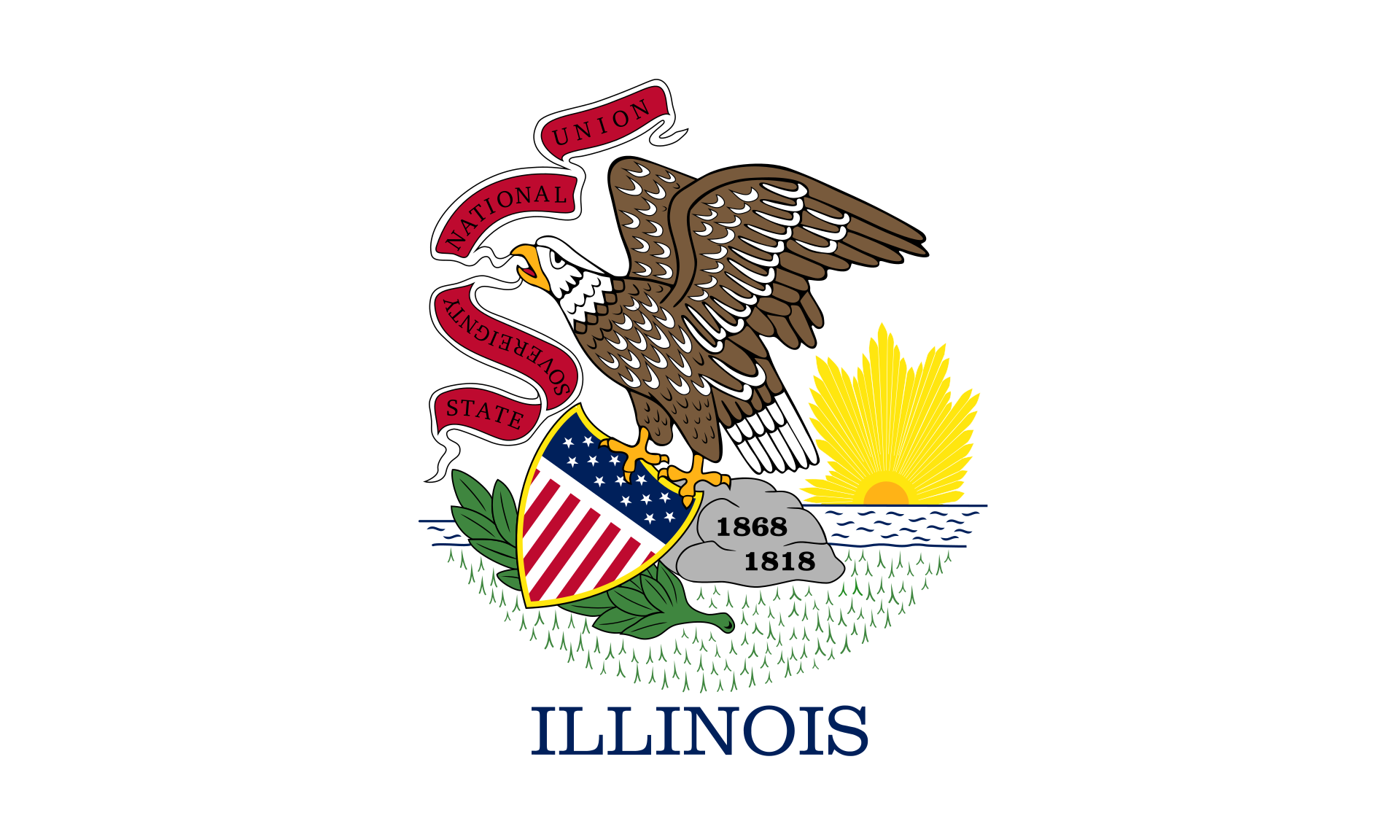 Illinois-IL

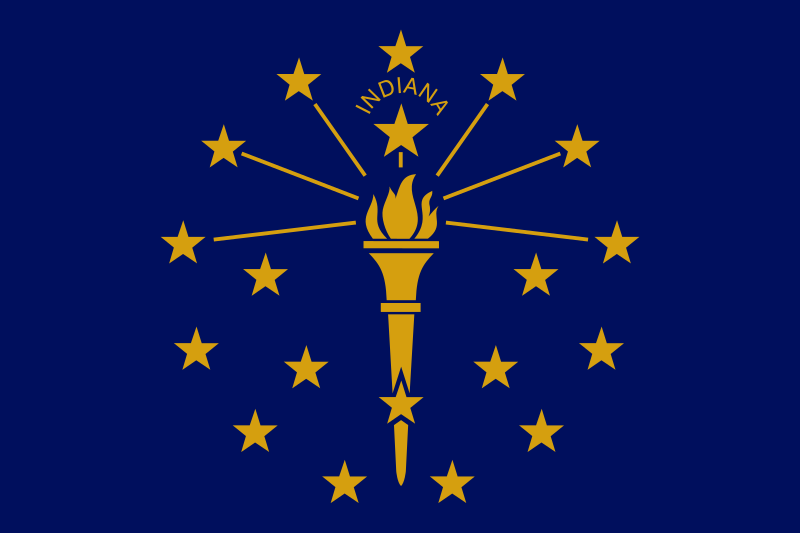 Indiana-IN

 Iowa-IA

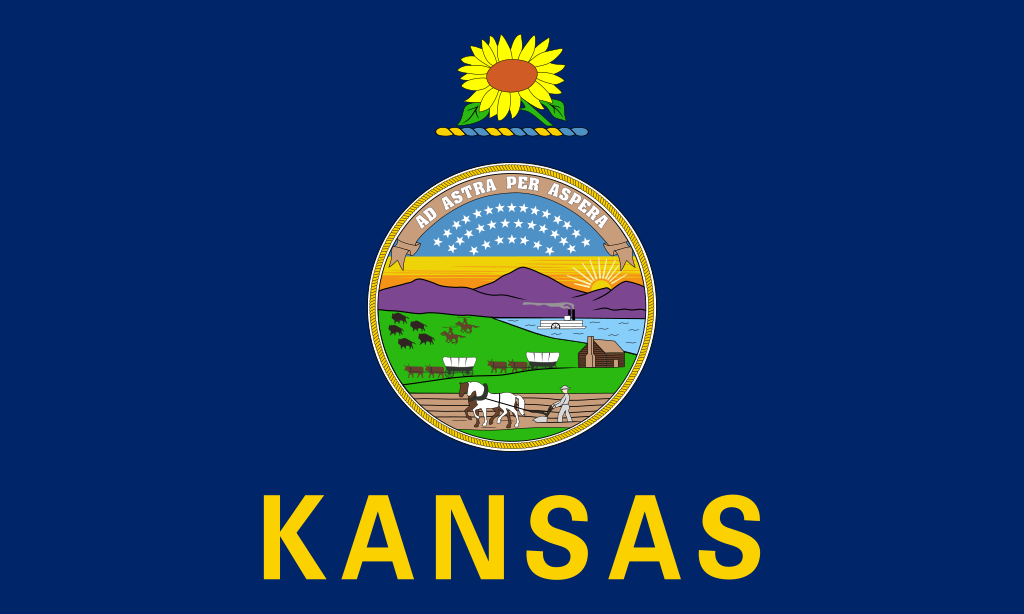 Kansas-KS

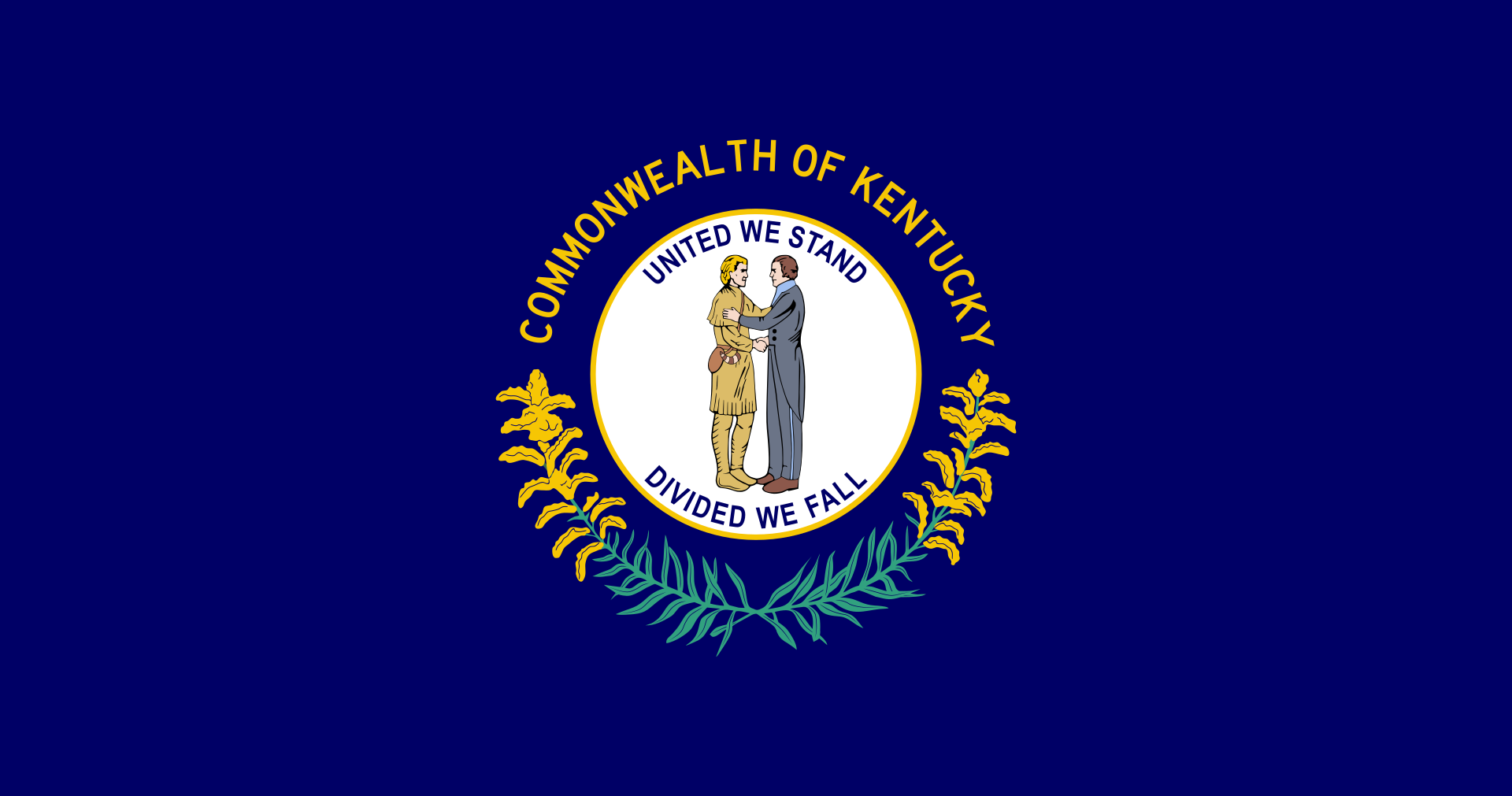 Kentucky-KY

 Louisiana-LA

 Maine-ME

 Maryland-MD

 Massachusetts-MA

 Michigan-MI

 Minnesota-MN

 Mississippi-MS

 Missouri-MO

 Montana-MT

 Nebraska-NE

 Nevada-NV

 New hampshire-NH

 New jersey-NJ

 New mexico-NM

 New York-NY

 North Carolina-NC

 North Dakota-ND

 Ohio-OH

 Oklahoma-OK

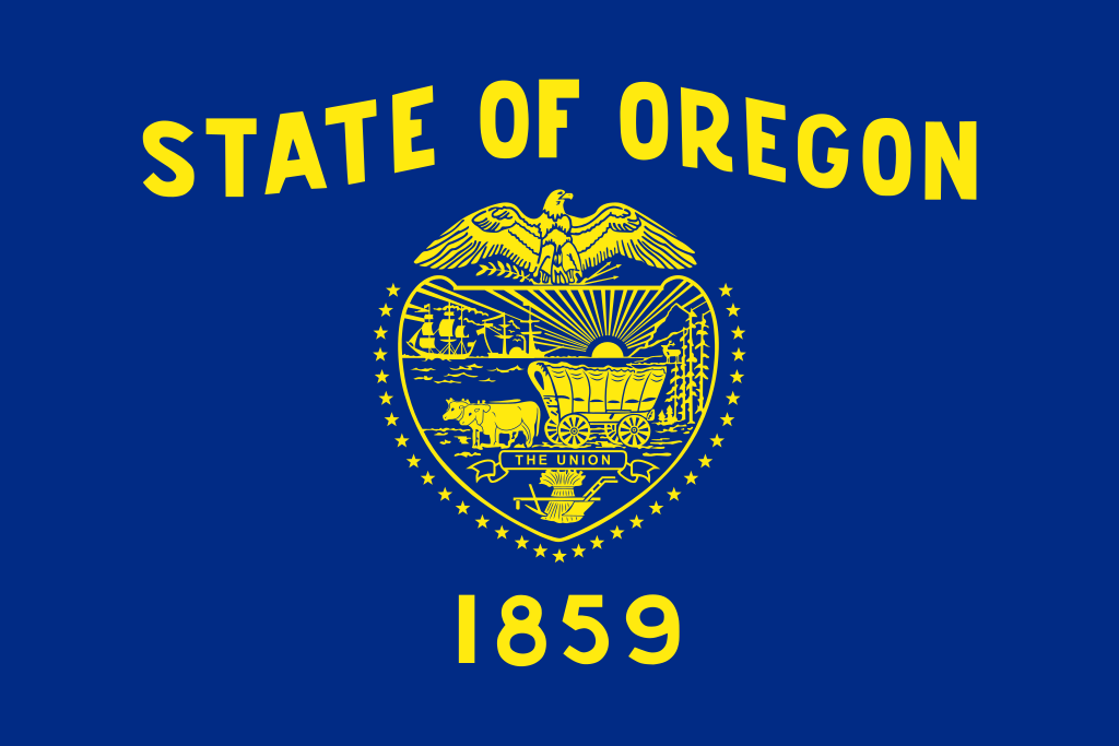 Oregon-OR

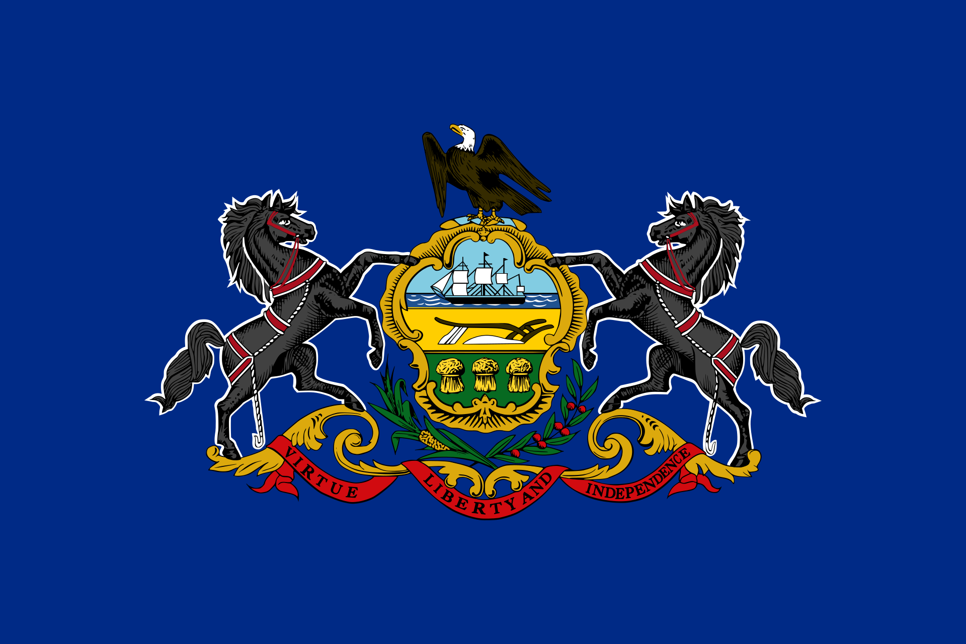 Pennsylvania-PA

 Rhode Island-RI

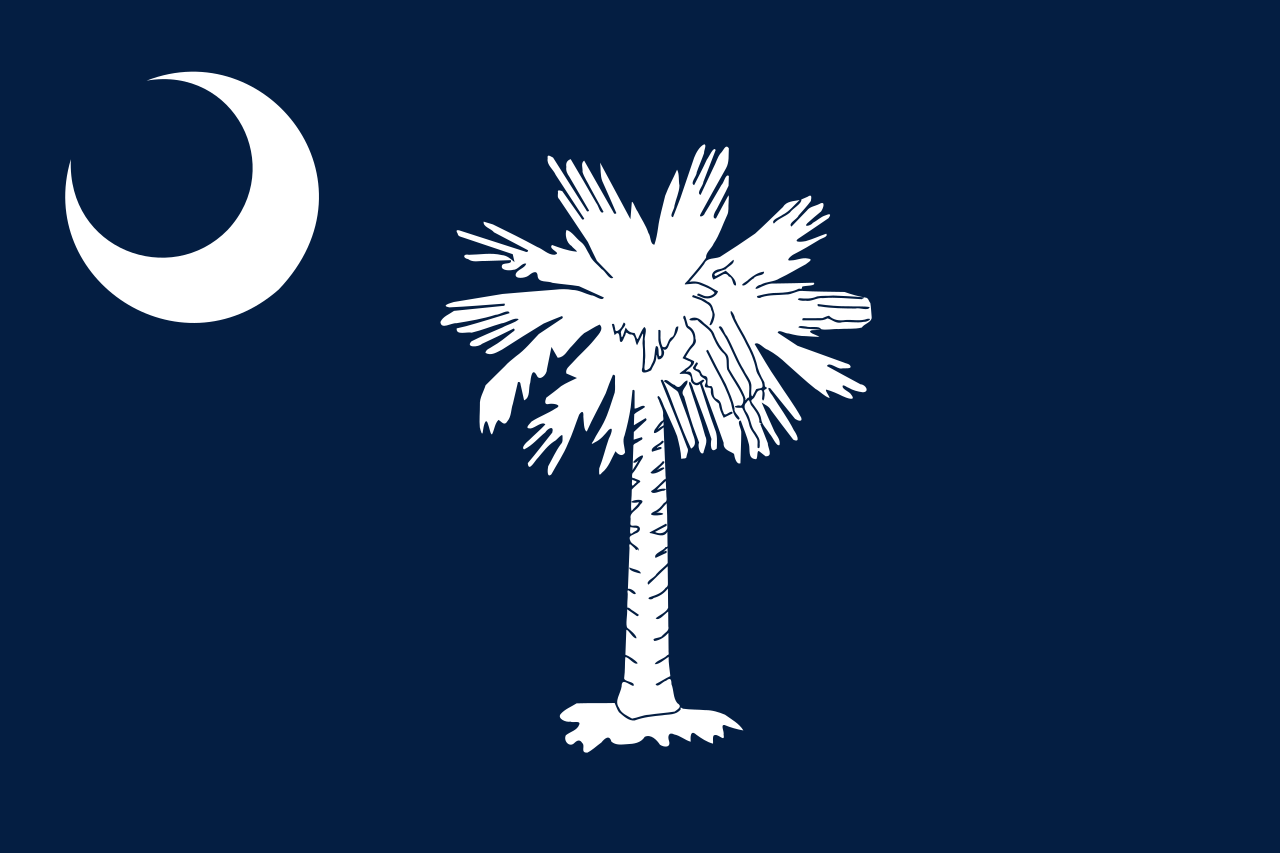 South Carolina-SC

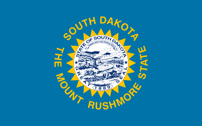 South Dakota-SD

 Tennessee-TN

 Texas-TX

 Universities in the USA

 Utah-UT
 United States

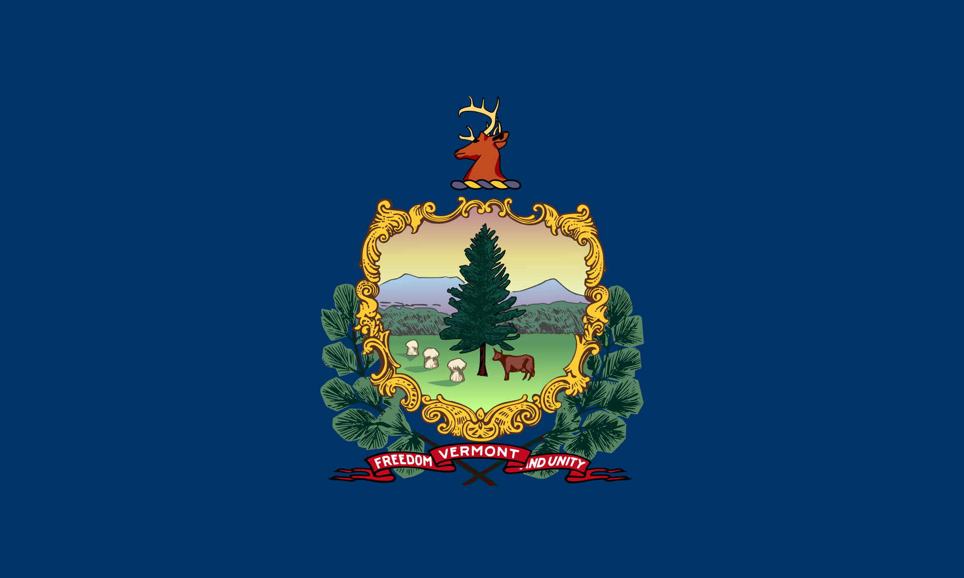 Vermont-VT

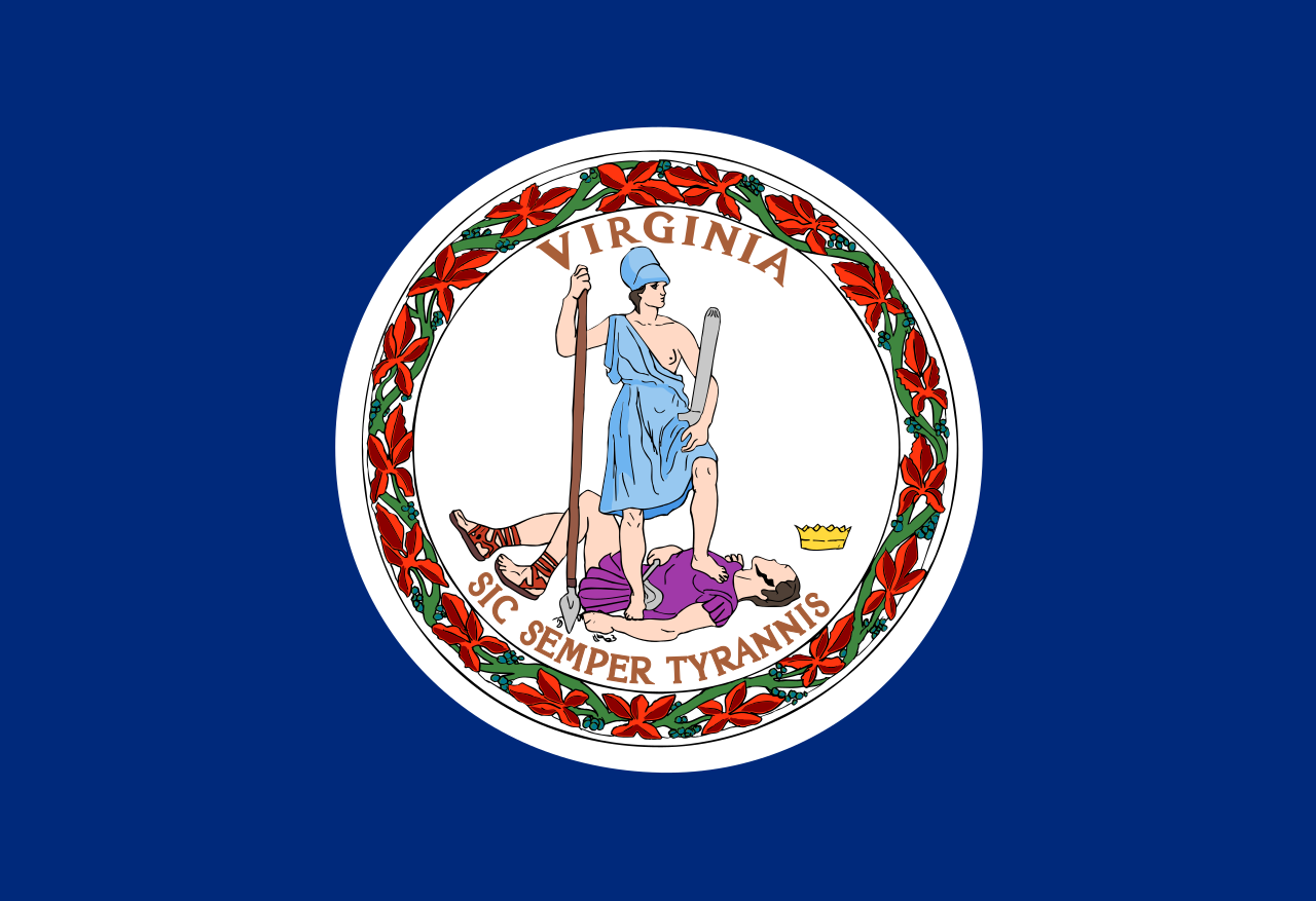 Virginia-VA

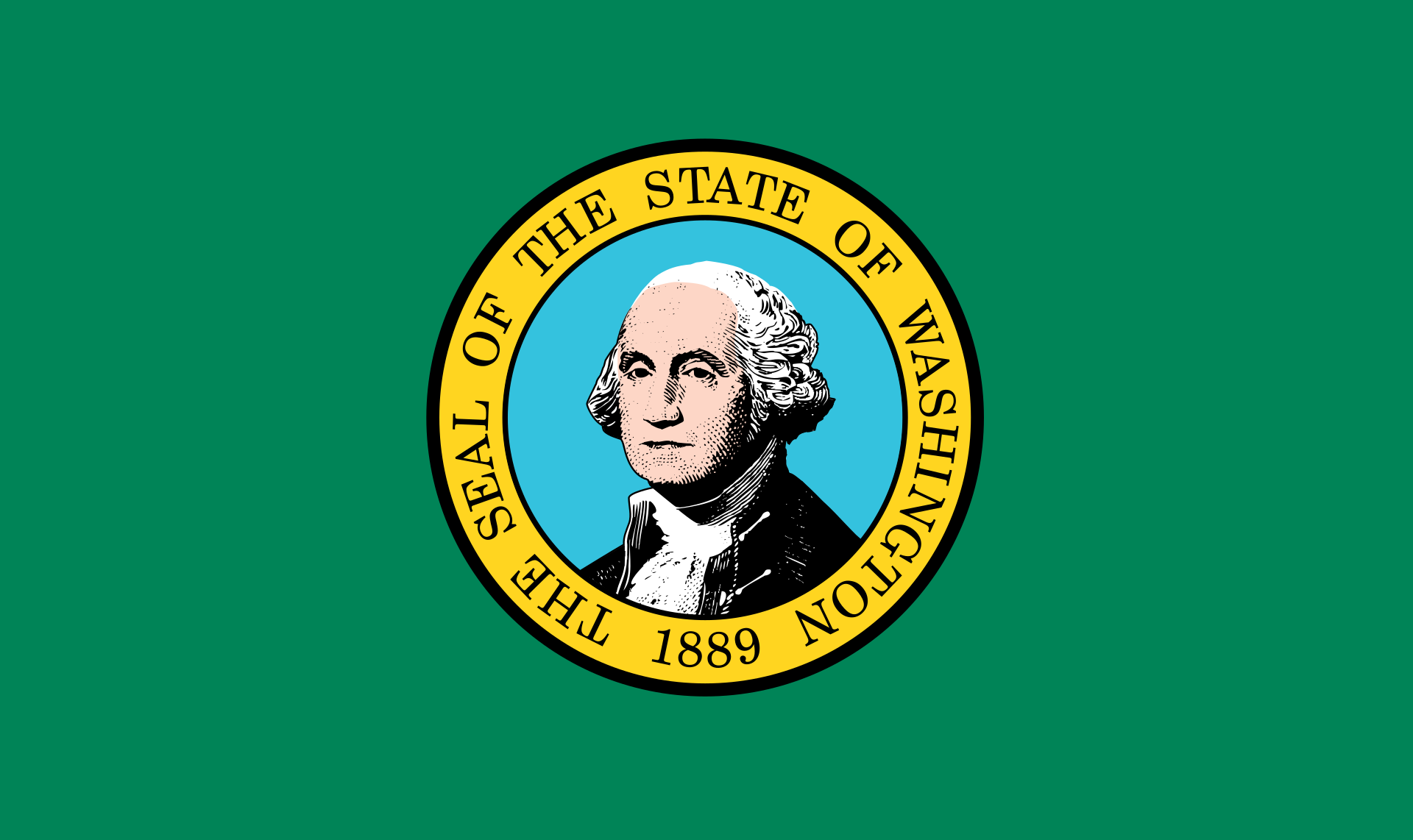 Washington-WA

 Washington, D.C.

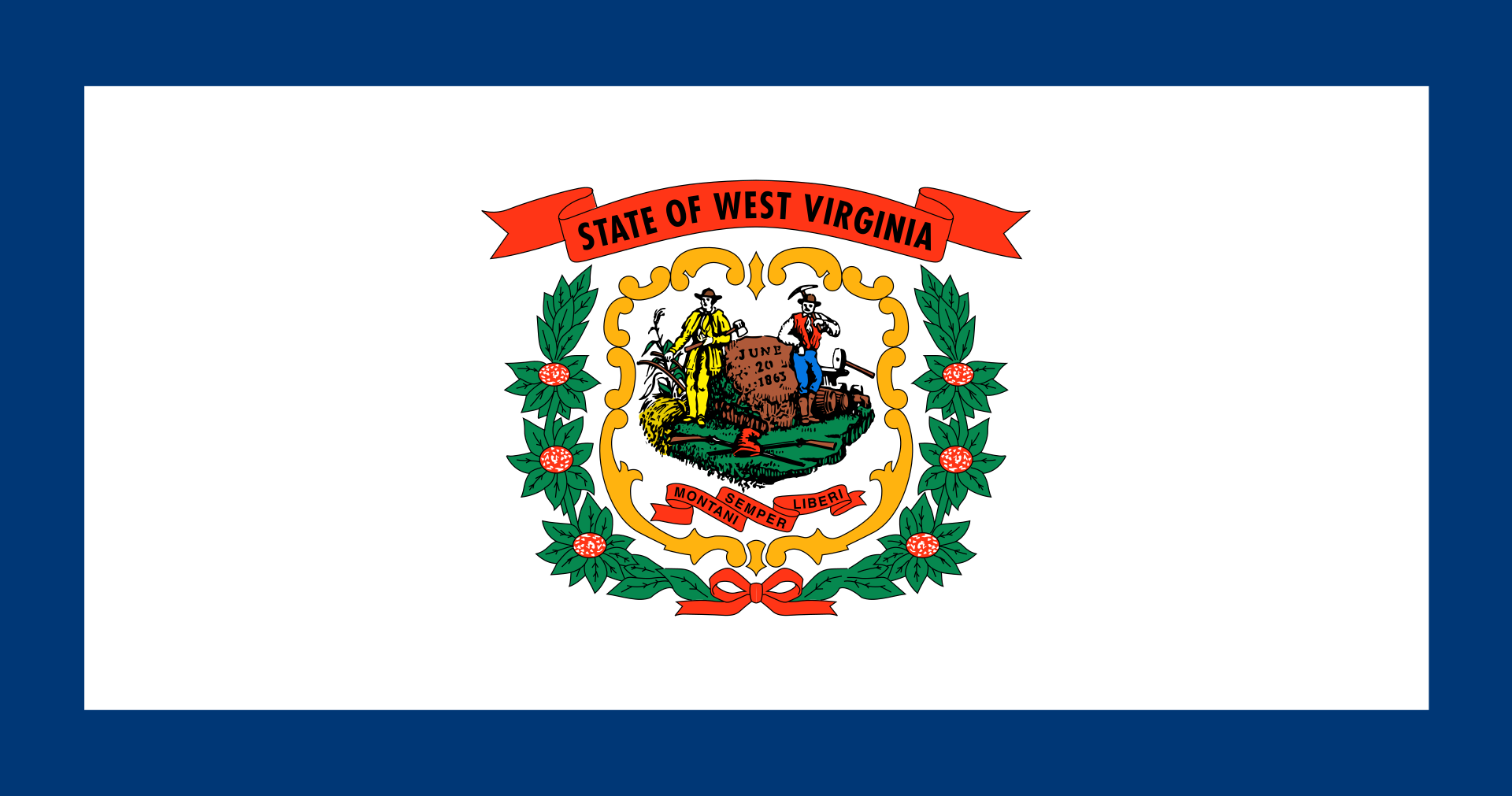 West Virginia-WV

 Wisconsin-WI

 Wyoming-WY

 Huntington Ingalls Industries
 Ingalls Shipbuilding


 Military, defense and equipment

 Mississippi-MS

 Companies
 United States


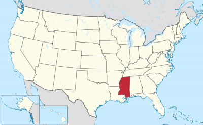

密西西比州(英语:State of Mississippi)是美国南部的一个州。西边以密西西比河为州界,东南邻墨西哥湾。美国2012年人口估算显示,其人口达到298.5万。密西西比州面积为全美第32大州,人口为全美第34多。 密西西比名称源自其密西西比河,在美洲原住民语(Ojibwe)意思为大河。 密西西比州的气候是温暖和潮湿,夏天长冬天短。七月平均气温为摄氏28度,而一月平均气温为摄氏9度。历史最低温于1966年录得为摄氏-28.3度,最高温则于1930年录得为摄氏46.1度。冬天时,在密西西比州的中部和北部会有少量降雪。
Mississippi (engl. Aussprache [ˌmɪsɪˈsɪpi]) ist ein Bundesstaat in den Vereinigten Staaten von Amerika. Er zählt zu den Südstaaten und hat knapp drei Millionen Einwohner auf einer Fläche von 125.443 km². Die Hauptstadt von Mississippi ist Jackson.
Der Staat hat seinen Namen vom Mississippi River, der mit dem indianischen Wort für „großer Fluss“ bezeichnet ist. Der Beiname Mississippis ist Magnolia State – Magnolienstaat. Mississippi liegt östlich des gleichnamigen Flusses an dessen Unterlauf. Das Gebiet ist größtenteils flach mit einigen niedrigen Erhebungen im äußersten Nordosten. Im Süden hat der Staat eine schmale Küste zum Golf von Mexiko. Mississippi grenzt an die US-Bundesstaaten Tennessee im Norden, Alabama im Osten, und auf der westlichen Seite des Flusses Mississippi liegen Arkansas und Louisiana. Neben dem dominierenden Mississippi ist auch einer seiner Zuflüsse, der Yazoo River, von Bedeutung.
ミシシッピ州(英:State of Mississippi [ˌmɪsᵻˈsɪpi] (![]() 音声ファイル))は、アメリカ合衆国南部に位置する州である。州都および最大都市はジャクソン市。人口は、2014年の統計(推計)によると2,994,079人。アメリカ合衆国50州の中で、陸地面積では第32位、人口では第31位である。
音声ファイル))は、アメリカ合衆国南部に位置する州である。州都および最大都市はジャクソン市。人口は、2014年の統計(推計)によると2,994,079人。アメリカ合衆国50州の中で、陸地面積では第32位、人口では第31位である。
州名はインディアン部族オジブワ族の、部族語で「大きな川」を意味するミシシッピ川から取られている。
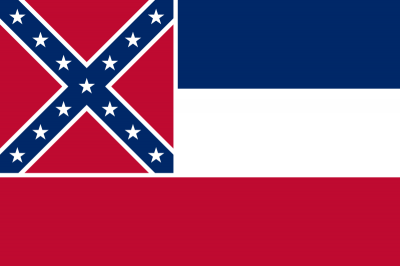
南北戦争では南部連合側に属した。そのため、南軍旗を織り込んだ州旗が長らく使われてきたが、2020年6月に現行の州旗を廃止して新しい州旗を策定する州法が成立した。
Mississippi (/ˌmɪsɪˈsɪpi/ (![]() listen)) is a state located in the Deep South region of the United States. Mississippi is the 32nd largest and 34th-most populous of the 50 U.S. states. Mississippi is bordered to the north by Tennessee, to the east by Alabama, to the south by the Gulf of Mexico, to the southwest by Louisiana, and to the northwest by Arkansas. Mississippi's western boundary is largely defined by the Mississippi River. Jackson is both the state's capital and largest city. Greater Jackson, with an estimated population of 580,166 in 2018, is the most populous metropolitan area in Mississippi and the 95th-most populous in the United States.
listen)) is a state located in the Deep South region of the United States. Mississippi is the 32nd largest and 34th-most populous of the 50 U.S. states. Mississippi is bordered to the north by Tennessee, to the east by Alabama, to the south by the Gulf of Mexico, to the southwest by Louisiana, and to the northwest by Arkansas. Mississippi's western boundary is largely defined by the Mississippi River. Jackson is both the state's capital and largest city. Greater Jackson, with an estimated population of 580,166 in 2018, is the most populous metropolitan area in Mississippi and the 95th-most populous in the United States.
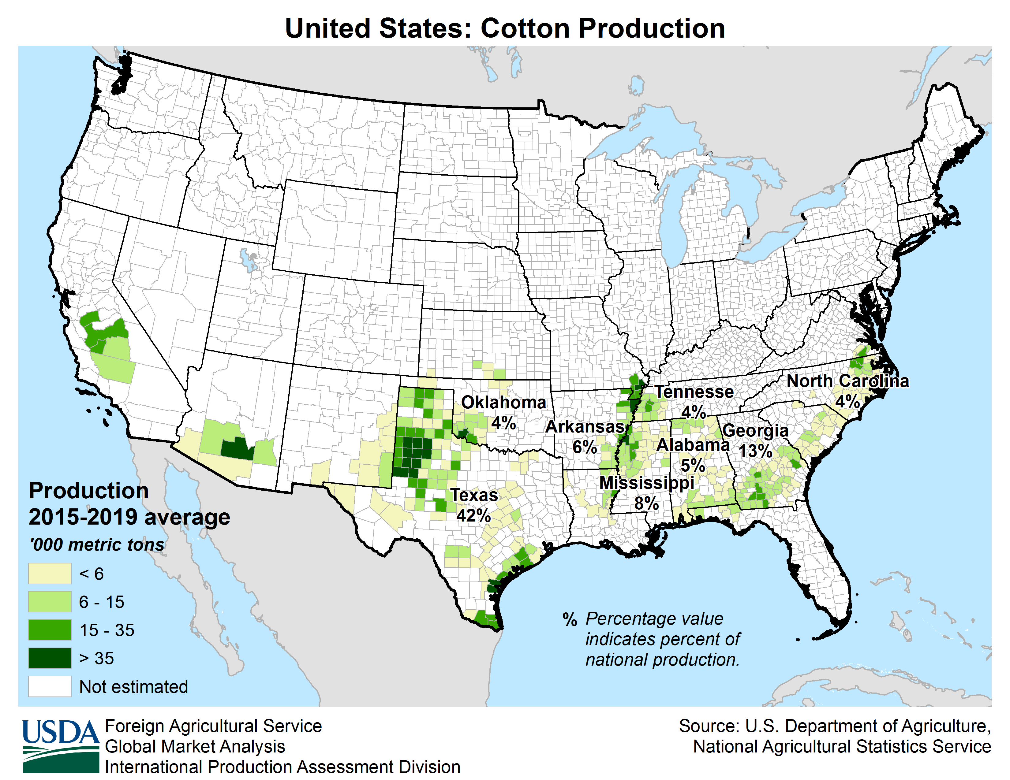
On December 10, 1817, Mississippi became the 20th state admitted to the Union. By 1860, Mississippi was the nation's top cotton-producing state and enslaved persons accounted for 55% of the state population.[5] Mississippi declared its secession from the Union on March 23, 1861, and was one of the seven original Confederate States, which constituted the largest slaveholding states in the nation. Following the Civil War, it was restored to the Union on February 23, 1870.[6]
Until the Great Migration of the 1930s, African Americans were a majority of Mississippi's population. Mississippi was the site of many prominent events during the civil rights movement, including the Ole Miss riot of 1962 by white students objecting to desegregation, the 1963 assassination of Medgar Evers, and the 1964 Freedom Summer murders of three activists working on voting rights. With large areas of agriculture and rural towns, Mississippi frequently ranks low among states in measures of health, education, and development, and high in measures of poverty.[7][8][9][10] In 2010, 37.3% of Mississippi's population was African American, the highest percentage of any state.
Mississippi is almost entirely within the Gulf coastal plain, and generally consists of lowland plains and low hills. The northwest remainder of the state consists of the Mississippi Delta, a section of the Mississippi Alluvial Plain. Mississippi's highest point is Woodall Mountain at 807 feet (246 m) above sea level adjacent to the Cumberland Plateau; the lowest is the Gulf of Mexico. Mississippi has a humid subtropical climate classification.
Le Mississippi, est un État du Sud des États-Unis. Il est bordé à l'ouest par la Louisiane et l'Arkansas, au nord par le Tennessee, à l'est par l'Alabama et au sud par le golfe du Mexique. L'État du Mississippi tire son nom du fleuve Mississippi.
Il Mississippi (/missisˈsippi/[2]; in inglese , /mɪsɨˈsɪpi/) è uno stato membro degli Stati Uniti d'America. La sua capitale e città più popolosa è Jackson.
Il Mississippi confina a nord con il Tennessee, a est con l'Alabama, a sud con la Louisiana e con il golfo del Messico e a ovest con l'Arkansas. Il nome deriva dal fiume Mississippi, che scorre lungo il suo confine occidentale e prende il proprio nome dalla parola indiana nativa misi-ziibi, che vuol dire "grande fiume". Lo stato del Mississippi è ricoperto da molte foreste e la vasta rete fluviale contiene una grande quantità di pesci gatto; è inoltre conosciuto per il suo simbolo, la magnolia.
Oltre al fiume Mississippi, altri importanti corsi d'acqua sono il Big Black River, il Pearl River, lo Yazoo, il Pascagoula e il Tombigbee. I maggiori laghi sono il Ross Barnett Reservoir, l'Arkabutla, il Sardis Lake e il Grenada Lake. Il territorio è totalmente pianeggiante e, come detto, ricoperto da molte foreste; la montagna di Woodwall, all'interno della catena degli Appalachi, è il punto più elevato, con i suoi 246 m s.l.m., mentre il punto più basso è la costa del Golfez. La maggior parte del territorio del Mississippi fa parte della Piana Costiera del Golfo Orientale. La piana costiera è generalmente ricoperta da basse colline; nel nord-est è possibile invece trovare colli con cime più elevate. La linea costiera include larghe baie come quella di San Louis, quella di Biloxi e quella di Pascagoula.
Misisipi o Misisipí4 (en inglés: Mississippi) es uno de los cincuenta estados que, junto con Washington D. C., forman los Estados Unidos de América. Su capital y ciudad más poblada es Jackson. Está ubicado en la región Sur del país, división Centro Sureste. Limita al norte con Tennessee, al este con Alabama, al sur con el golfo de México (océano Atlántico) y Luisiana, y al oeste con el río Misisipi, que lo separa de Luisiana y Arkansas, y el río Pearl que lo separa de Luisiana (por el suroeste). Fue admitido en la Unión el 10 de diciembre de 1817, como el estado número 20.
Misisipi ha sido históricamente un estado dominado por granjas y pequeñas ciudades, y dependiente de la agricultura y la ganadería. Actualmente, sin embargo, posee una economía relativamente diversificada, con una industria de manufactura y un turismo en crecimiento. Está considerado el estado más pobre del país, con relativamente altas tasas de desempleo y pobreza, y la menor renta per cápita del país.
El nombre Misisipi proviene de una palabra del idioma ojibwa, que significa "grandes aguas" o "padre de las aguas". Algunos apodos de Misisipi son Estado de la Magnolia y Estado de la hospitalidad.
Misisipi fue inicialmente colonizado por los españoles, pero anexionado por el Reino Unido bajo los términos del Tratado de París. Con la independencia de las Trece Colonias, la región del Misisipi pasó a formar parte de los recién creados Estados Unidos de América. El Territorio de Misisipi fue creado en 1798, y, ya como el actual Misisipi, fue elevado a la categoría de Estado el 10 de diciembre de 1817. Misisipi prosperó económicamente, y fue durante décadas uno de los estados más ricos del país. Misisipi se separó de los Estados Unidos en 1861, uniéndose a los Estados Confederados de América, siendo uno de los estados más afectados por la Guerra Civil Estadounidense. La guerra civil, aun así, no terminó con la economía latifundista ni con el sujetamiento tanto de la población afroamericana como de la gran mayoría de blancos carentes de tierra. Esto, pese a un sostenido programa de obras y subsidios por parte de la nación, previno el desarrollo adecuado de condiciones socioeconómicas hasta después de 1960 y sus efectos socioeconómicos todavía pueden apreciarse en el estado hasta los días actuales.
Миссиси́пи[2][3] (англ. Mississippi) — штат[4] на юге США, 20-й по счёту штат, вошедший в состав союзного государства. Население 2 978 512 человек (31-е место в США; данные 2011 года). Столица и крупнейший город — Джексон. Официальное прозвище — «Штат магнолии» (англ. Magnolia State), неофициальное — «Штат гостеприимства». Штат Миссисипи тесно связан с Движением за гражданские права чернокожих в США.


 Arkansas-AR

 Iowa-IA

 Kentucky-KY

 Louisiana-LA

 Minnesota-MN
 Mississippi River

 Mississippi-MS

 Missouri-MO

 Tennessee-TN
 United States

 Wisconsin-WI

密西西比河[4](英语:Mississippi River),位于北美洲中南部,是北美最大的水系[5][6],流域面积约为300万平方千米[7]。它也是北美最长的河流,源头在美国明尼苏达州西北部海拔446米的艾塔斯卡湖(Lake Itasca),流经中央大平原,向南注入墨西哥湾。最长支流密苏里河的源头雷德罗克湖,全长3767千米[7]。如果按照密西西比河的支流——密苏里河的源头计算,则全长为6021千米,居世界河流的第4位[7],其集水范围可以作为美国中西部的分界。
密西西比河的名称源自于美国北部威斯康辛州的印第安阿尔贡金人,因为它支流众多,美国人又尊称为“老人河”,与尼罗河、亚马逊河和长江合称世界四大长河,是北美大陆流域面积最广的水系,两岸多湖泊和沼泽。河流年均输沙量4.95亿吨。流域属世界三大黑土区之一。
Der Mississippi[3] [ˌmɪsɪˈsɪpɪ] (engl.: Mississippi River[4]) ist ein 3778 Kilometer langer Strom in den Vereinigten Staaten. Er entspringt dem Lake Itasca im nördlichen Minnesota und mündet rund 160 Kilometer südlich von New Orleans in den Golf von Mexiko.
Sein längster Nebenfluss Missouri ist bis zur Mündung deutlich länger, jedoch wesentlich wasserärmer als der Mississippi. Der Missouri River und der Unterlauf des Mississippi bilden als Mississippi-Missouri mit 6051 Kilometern Länge das viertlängste Flusssystem der Erde.
Der vom Wasservolumen her größte Nebenfluss des Mississippi, der Ohio River, übertrifft den Hauptfluss bei dessen Mündung deutlich. An dieser Stelle sind der Missouri und der Illinois River bereits in den Hauptstrom eingeflossen.
Auf seinem Weg durchquert der Mississippi nahezu das gesamte Staatsgebiet der USA von Nord nach Süd und fließt durch acht US-Bundesstaaten: Minnesota, Illinois, Missouri, Kentucky, Arkansas, Tennessee, Mississippi, Louisiana und bildet die Grenze von Wisconsin und Iowa. Bei St. Louis vereinigt er sich mit dem Missouri sowie dem Meramec und bei Cairo, Illinois, mit dem Ohio. Bis auf das Gebiet um die Großen Seen entwässert der Fluss das gesamte Gebiet zwischen den Rocky Mountains im Westen und den Appalachen im Osten. Das Mississippidelta bei New Orleans bildet eines der größten Mündungsgebiete weltweit.
ミシシッピ川(ミシシッピがわ、Mississippi River)は、北アメリカ大陸を流れる河川の1つである。アメリカ合衆国のミネソタ州を源流とし、メキシコ湾へと注いでいる。全長は3779kmで、アメリカ合衆国で2番目に長い川である[2]。
高低差が少なく流れが緩やかなため大型船舶の通行や水運に適し、開拓時代から重要な交通路であり、現代においてもアメリカ中央部における輸送の大幹線となっている。
主な支流にはモンタナ州を源流とするミズーリ川(アメリカ合衆国最長)やペンシルベニア州を源流とするオハイオ川などがある。ミズーリ川源流からミシシッピ川河口までの長さは5,971kmで、北アメリカ最大の水系をなす。ミズーリ川は治水のために多くのダムが建設されてダム湖により多くの蛇行がなくなり、500km以上も川の長さは短くなっている。その分ミシシッピ川全体の長さも短くなった。本流の全流路が構造平野であるアメリカの中央平原を流れており、そのため流路の勾配が緩い。水源のイタスカ湖に降った雨が河口に達するまで約90日を要する。
「ミシシッピ」の名は、オジブワ族インディアンの言語で「偉大な川」を意味するmisi-ziibiまたは「大きな川」を意味するgichi-ziibiからの転訛である。オハイオ川との合流地点より北を上ミシシッピ、それより南の河口までを下ミシシッピと称している。かつては川に沿った地域はフランス領であったため、セントポールからニューオーリンズまでフランス人の築いた町が多く存在する。
周辺の気候は、ミズーリ州中央部以北は冷帯湿潤気候、それ以南は温暖湿潤気候となっている[3]。
The Mississippi River is the second-longest river and chief river of the second-largest drainage system on the North American continent, second only to the Hudson Bay drainage system.[14][15] From its traditional source of Lake Itasca in northern Minnesota, it flows generally south for 2,320 miles (3,730 km)[15] to the Mississippi River Delta in the Gulf of Mexico. With its many tributaries, the Mississippi's watershed drains all or parts of 32 U.S. states and two Canadian provinces between the Rocky and Appalachian mountains.[16] The main stem is entirely within the United States; the total drainage basin is 1,151,000 sq mi (2,980,000 km2), of which only about one percent is in Canada. The Mississippi ranks as the fourth-longest river and fifteenth-largest river by discharge in the world. The river either borders or passes through the states of Minnesota, Wisconsin, Iowa, Illinois, Missouri, Kentucky, Tennessee, Arkansas, Mississippi, and Louisiana.[17][18]
Native Americans have lived along the Mississippi River and its tributaries for thousands of years. Most were hunter-gatherers, but some, such as the Mound Builders, formed prolific agricultural societies. The arrival of Europeans in the 16th century changed the native way of life as first explorers, then settlers, ventured into the basin in increasing numbers.[19] The river served first as a barrier, forming borders for New Spain, New France, and the early United States, and then as a vital transportation artery and communications link. In the 19th century, during the height of the ideology of manifest destiny, the Mississippi and several western tributaries, most notably the Missouri, formed pathways for the western expansion of the United States.
Formed from thick layers of the river's silt deposits, the Mississippi embayment is one of the most fertile regions of the United States; steamboats were widely used in the 19th and early 20th centuries to ship agricultural and industrial goods. During the American Civil War, the Mississippi's capture by Union forces marked a turning point towards victory, due to the river's strategic importance to the Confederate war effort. Because of substantial growth of cities and the larger ships and barges that replaced steamboats, the first decades of the 20th century saw the construction of massive engineering works such as levees, locks and dams, often built in combination. A major focus of this work has been to prevent the lower Mississippi from shifting into the channel of the Atchafalaya River and bypassing New Orleans.
Since the 20th century, the Mississippi River has also experienced major pollution and environmental problems – most notably elevated nutrient and chemical levels from agricultural runoff, the primary contributor to the Gulf of Mexico dead zone.
Le Mississippi (Mississippi River en anglais) est un fleuve situé en Amérique du Nord traversant la partie centrale des États-Unis. Il coule du nord du Minnesota au golfe du Mexique et son cours a une orientation méridienne. Le Mississippi a une longueur de 3 780 km : seul l'un de ses affluents, le Missouri, est plus long en Amérique du Nord. La longueur cumulée de ces deux cours d'eau, qui dépasse les 6 800 km, et la superficie du bassin versant font du Mississippi l'un des fleuves les plus importants du monde et du Missouri-Mississippi l'un des bassins fluviaux les plus grands du monde4,1,5. Pendant l'époque précolombienne, le Mississippi constitue déjà une voie de navigation dont le cours supérieur est appelé par les Ojibwés misi-ziibi, qui signifie « grand fleuve »6, repris en 1666 en français sous la forme Messipi. Supervisé par la Mississippi Valley Division et une commission fédérale créée en 1879, le fleuve reste encore aujourd'hui un élément fondamental de l'économie et de la culture américaine.
Il Mississippi (AFI: /missisˈsippi/[4]) è un fiume dell'America settentrionale.
Il fiume nasce in Minnesota, poco ad ovest del Lago Superiore, in un territorio costituito da una serie di alture moreniche, intervallate da alcuni piccoli laghi. Da uno di questi, il Lago Itasca, prende il via il corso del fiume, che nel suo primo tratto è talora incassato tra i cordoni morenici e spesso presenta rapide e cascate. Il fiume ben presto raggiunge i 220 m s.l.m. dopo le cascate di St Anthony (24 m) vicino a Minneapolis. Riceve da sinistra le acque dei fiumi Wisconsin ed Illinois e giunto a Saint Louis riceve da destra il Missouri. Presso Cairo riceve da sinistra l'Ohio, proseguendo verso sud il fiume riceve da destra l'apporto di altri due importanti affluenti, il fiume Arkansas ed il fiume Red River. Giunge quindi a New Orleans dove sfocia nel Golfo del Messico formando un ampio delta.
Si può dividere il corso del fiume in due sezioni: la parte superiore del Mississippi, dalla sorgente alla confluenza con l'Ohio, e la parte inferiore, dalla confluenza con il fiume Ohio alla foce. Il fiume descrive numerosi meandri, soprattutto tra Memphis e il delta. È questa la regione della grande pianura alluvionale del Mississippi, con una coltre di sedimenti che va via via sempre più aumentando nel tempo, sopra i terrazzi fluviali, obbligando le acque del fiume a straripare, specialmente nei periodi delle piene primaverili. Le periodiche inondazioni che si verificano nel basso corso, dove appunto il fiume è pensile, lasciano ai lati delle sponde zone permanentemente umide e acquitrinose (cypress swamps). Il fiume avanza lento, formando ora sinuosi meandri, ora abbandonando vecchi bracci o intagliando isolotti sabbiosi, o addirittura formando distinti rami laterali (bayous).
El Misisipi o Misisipí1 es un largo río del centro de Estados Unidos que fluye en dirección sur a través de diez estados —Minesota, Wisconsin, Iowa, Misuri, Illinois, Kentucky, Tennessee, Arkansas, Misisipi y Luisiana— hasta desaguar en el golfo de México (océano Atlántico), cerca de Nueva Orleans. Tiene una longitud de 3734 km, pero si se considera el sistema Misisipi-Misuri alcanza los 6275 km, que lo sitúan como el cuarto más largo del mundo, tras los ríos Amazonas, Nilo y Yangtsé.23
Drena una cuenca de 3 238 000 km², la cuarta más extensa del mundo, por detrás de las del Amazonas (6 145 000 km²), Congo (3 700 000 km²) y Nilo (3 255 000 km²).
Durante la época precolombina ya constituía una importante vía de navegación y los amerindios lo llamaban «Meschacebé»4 que significa «padre de las aguas». Hoy en día, constituye un elemento fundamental de la economía y de la cultura estadounidense.
El 11 de septiembre de 1997 el presidente Bill Clinton designó dos secciones de este río, el Alto y Bajo Misisipí, como uno de los catorce ríos que integran el sistema de ríos del patrimonio estadounidense.
Миссисипи (англ. Mississippi, МФА: [ˌmɪsəˈsɪpi]; на языке оджибве misi-ziibi или gichi-ziibi — «большая река») — река в США, одна из величайших[прояснить] рек мира. Миссисипи — главная река крупнейшей речной системы в Северной Америке[1][2]. Протекает исключительно на территории Соединённых Штатов Америки, хотя её бассейн распространяется и на Канаду.
Истоком Миссисипи считается либо ручей Николетт-Крик[3], либо озеро Айтаска[4], в которое он впадает. Исток расположен в штате Миннесота на высоте примерно 530 м над уровнем моря. Река в основном течёт в южном направлении и достигает длины в 3770[2] километров[5][6], заканчиваясь обширной дельтой в Мексиканском заливе. Сама река протекает по территории 10 штатов, а её бассейн охватывает 31 штат от Скалистых гор до горной системы Аппалачи. Миссисипи занимает тринадцатую позицию в списке длиннейших рек мира, а речная система Миссисипи-Миссури — третью, и девятую — в списке по полноводности. Миссисипи является частью границ или же пересекает штаты Миннесота, Висконсин, Айова, Иллинойс, Миссури, Кентукки, Теннесси, Арканзас, Миссисипи и Луизиана.
Индейцы жили на берегах Миссисипи и её притоков с древнейших времён. Большинство из них были охотниками и собирателями, но некоторые, такие как строители курганов, образовывали развитые сельскохозяйственные общины. Прибытие европейцев в 1500-х годах навсегда изменило исконный образ жизни аборигенов. Первоначально река выступала в роли барьера, формируя границы Новой Испании и Новой Франции, а также ранних Соединённых Штатов, а затем став важной транспортной артерией и средством сообщения. В XIX веке, во время апофеоза идеи Явного предначертания, Миссисипи и некоторые западные её притоки, главным образом Миссури, послужили путями западной экспансии Соединённых Штатов.
Покрытая толстым слоем иловых отложений, долина реки является одним из плодороднейших регионов США, что послужило развитию легендарной эры пароходов на Миссисипи. Во время Гражданской войны захват Миссисипи силами Союза послужил поворотной точкой в противостоянии в силу важности реки как торгового и транспортного пути. По мере устойчивого роста городов и появления на реке больших кораблей и барж, которые вытеснили прежние маломерные суда, с начала XX века начинаются масштабные гидротехнические работы, в результате которых на реке появилось множество дамб, плотин, шлюзов и прочих гидротехнических сооружений.
Современное развитие бассейна Миссисипи привело к ряду экологических проблем, среди которых одной из крупнейших является проблема загрязнения вод реки сельскохозяйственными стоками, что привело к возникновению так называемой «мёртвой зоны»[en] Мексиканского залива. В последние годы отмечено неуклонное смещение Миссисипи к рукаву Атчафалайа в дельте реки, что может привести к катастрофическим последствиям для портов в дельте, таких как Новый Орлеан. Система дренажей и перемычек позволяет сдерживать этот процесс, однако из-за процессов выноса грунта и эрозии смещение год от года становится всё более явным.
 *Capitols in the United States
 *United States Political System

 Architecture
 Beaux Art

 Mississippi-MS
 United States


 Alabama-AL

 Arizona-AZ

 California-CA

 Florida-FL

 Georgia-GA

 Louisiana-LA

 Massachusetts-MA

 Mississippi-MS

 Nevada-NV

 New jersey-NJ

 New mexico-NM

 New York-NY

 North Carolina-NC

 Oklahoma-OK

 Oregon-OR

 Pennsylvania-PA

 South Carolina-SC

 Texas-TX

 Companies

 Utah-UT
 United States

 Vermont-VT

 Virginia-VA

 Washington-WA

 Washington, D.C.

 West Virginia-WV
 Ships and Nautics
 Geography
 International cities
 Transport and traffic