
Deutsch-Chinesische Enzyklopädie, 德汉百科
 Hubei Sheng-HB
Anhui Sheng-AH
Beijing Shi-BJ
China
Chongqing Shi-CQ
Fujian Sheng-FJ
Gansu Sheng-GS
Gansu Sheng-GS
Guangxi Zhuangzu Zizhiqu-GX
Guizhou Sheng-GZ
Hainan Sheng-HI
Hebei Sheng-HE
Heilongjiang Sheng-HL
Henan Sheng-HA
Hongkong Tebiexingzhengqu-HK
Hubei Sheng-HB
Hunan Sheng-HN
Jiangsu Sheng-JS
Jiangxi Sheng-JX
Jilin Sheng-JL
Liaoning Sheng-LN
Nei Mongol Zizhiqu-NM
Ningxia Huizu Zizhiqu-NX
Qinghai Sheng-QH
Shaanxi Sheng-SN
Shandong Sheng-SD
Shanghai Shi-SH
Shanxi Sheng-SX
Sichuan Sheng-SC
Tianjin Shi-TJ
Hubei Sheng-HB
Anhui Sheng-AH
Beijing Shi-BJ
China
Chongqing Shi-CQ
Fujian Sheng-FJ
Gansu Sheng-GS
Gansu Sheng-GS
Guangxi Zhuangzu Zizhiqu-GX
Guizhou Sheng-GZ
Hainan Sheng-HI
Hebei Sheng-HE
Heilongjiang Sheng-HL
Henan Sheng-HA
Hongkong Tebiexingzhengqu-HK
Hubei Sheng-HB
Hunan Sheng-HN
Jiangsu Sheng-JS
Jiangxi Sheng-JX
Jilin Sheng-JL
Liaoning Sheng-LN
Nei Mongol Zizhiqu-NM
Ningxia Huizu Zizhiqu-NX
Qinghai Sheng-QH
Shaanxi Sheng-SN
Shandong Sheng-SD
Shanghai Shi-SH
Shanxi Sheng-SX
Sichuan Sheng-SC
Tianjin Shi-TJ
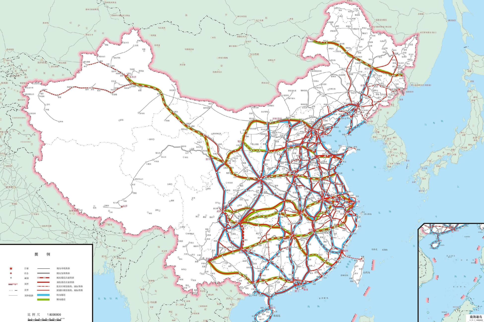
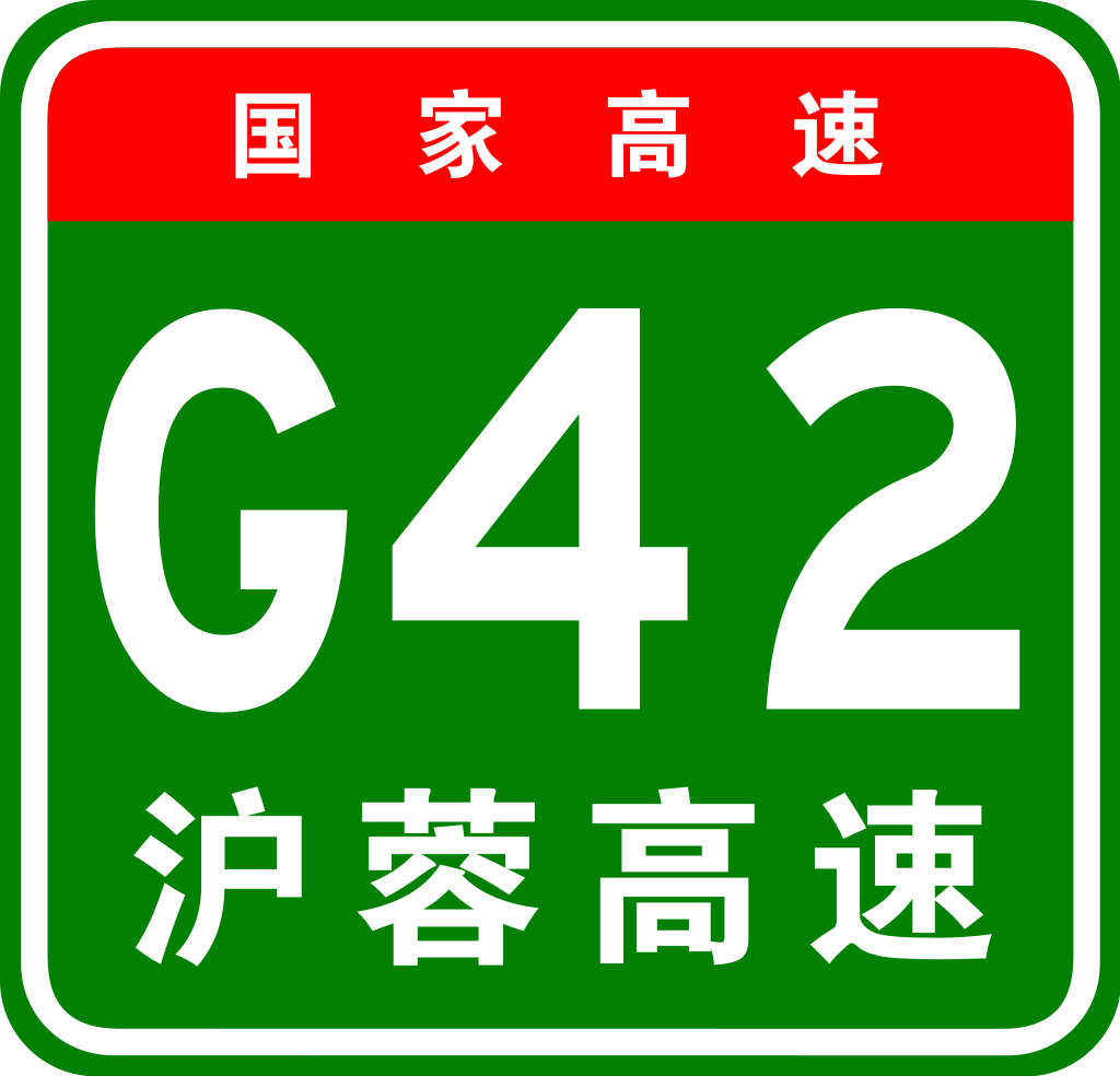
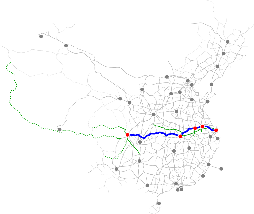
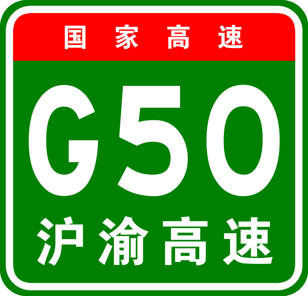
 Transport and traffic
 Railway
Xinjiang Uygur Zizhiqu-XJ
Yunnan Sheng-YN
Zhejiang Sheng-ZJ
Railway
Xinjiang Uygur Zizhiqu-XJ
Yunnan Sheng-YN
Zhejiang Sheng-ZJ

鄂州市江滩公园孙权像

 Beijing Shi-BJ
China
Guangdong Sheng-GD
Hebei Sheng-HE
Heilongjiang Sheng-HL
Henan Sheng-HA
Hubei Sheng-HB
Jiangxi Sheng-JX
Jilin Sheng-JL
Nei Mongol Zizhiqu-NM
Beijing Shi-BJ
China
Guangdong Sheng-GD
Hebei Sheng-HE
Heilongjiang Sheng-HL
Henan Sheng-HA
Hubei Sheng-HB
Jiangxi Sheng-JX
Jilin Sheng-JL
Nei Mongol Zizhiqu-NM
 Fujian Sheng-FJ
Gansu Sheng-GS
Hubei Sheng-HB
Jiangxi Sheng-JX
Ningxia Huizu Zizhiqu-NX
Shaanxi Sheng-SN
Fujian Sheng-FJ
Gansu Sheng-GS
Hubei Sheng-HB
Jiangxi Sheng-JX
Ningxia Huizu Zizhiqu-NX
Shaanxi Sheng-SN


Anhui Sheng-AH
China
Guizhou Sheng-GZ
Hubei Sheng-HB
Hunan Sheng-HN
Jiangxi Sheng-JX
Yunnan Sheng-YN
Zhejiang Sheng-ZJ
 Beijing Shi-BJ
China
Guangdong Sheng-GD
Hebei Sheng-HE
Henan Sheng-HA
Hongkong Tebiexingzhengqu-HK
Hubei Sheng-HB
Hunan Sheng-HN
Macau Tebiexingzhengqu-MO
Beijing Shi-BJ
China
Guangdong Sheng-GD
Hebei Sheng-HE
Henan Sheng-HA
Hongkong Tebiexingzhengqu-HK
Hubei Sheng-HB
Hunan Sheng-HN
Macau Tebiexingzhengqu-MO


 Anhui Sheng-AH
China
Chongqing Shi-CQ
Hubei Sheng-HB
Shanghai Shi-SH
Sichuan Sheng-SC
Zhejiang Sheng-ZJ
Anhui Sheng-AH
China
Chongqing Shi-CQ
Hubei Sheng-HB
Shanghai Shi-SH
Sichuan Sheng-SC
Zhejiang Sheng-ZJ


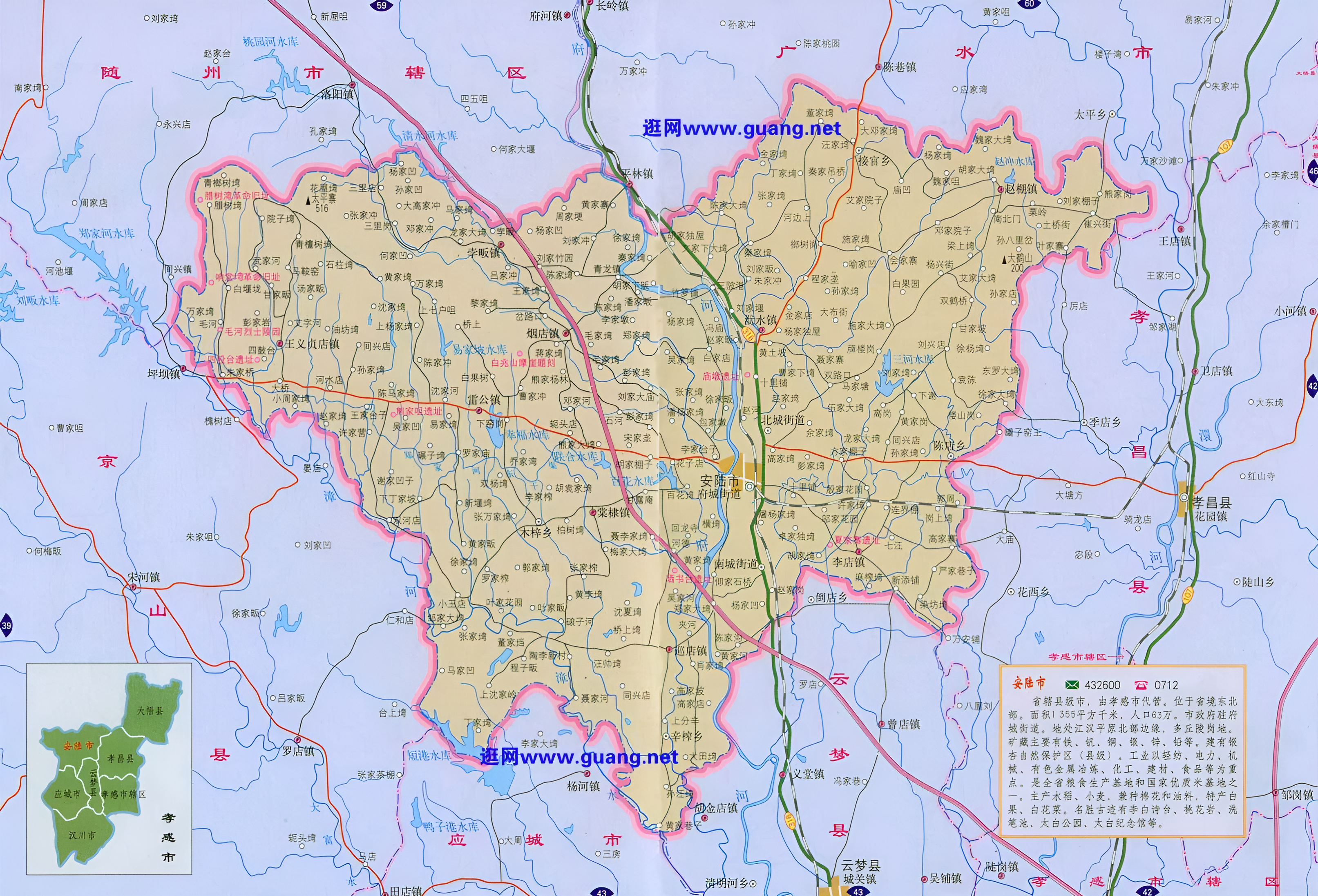
Der Autonome Bezirk Enshi der Tujia und Miao (chinesisch 恩施土家族苗族自治州, Pinyin Ēnshī Tŭjiāzú Miáozú zìzhìzhōu) liegt im Südwesten der chinesischen Provinz Hubei. Enshi erstreckt sich von 108°23′12′′ bis 110°38′08′′ östlicher Länge und von 29°07′10′′ bis 31°24′13′′ nördlicher Breite. Sein Verwaltungsgebiet grenzt im Westen und Norden an die Stadtbezirke Qianjiang und Wanzhou der Stadt Chongqing, im Süden an den Autonomen Bezirk Xiangxi der Provinz Hunan und im Nordosten und Osten an Shennongjia und Yichang in Hubei. Enshi hat eine Fläche von 24.111 km² und ca. 3,83 Millionen Einwohner (Ende 2004). Ganz Enshi ist ein Berggebiet, das von Südwesten nach Nordosten von den Wu-Bergen (chinesisch 巫山, Pinyin Wū Shān), dem Qiyue-Gebirge (chinesisch 齐岳山脉, Pinyin Qíyuè Shānmài), dem Wuling-Gebirge (chinesisch 武陵山脉, Pinyin Wŭlíng Shānmài) und dem Dalou-Gebirge (chinesisch 大娄山脉, Pinyin Dàlóu Shānmài) durchzogen wird. Höhen unter 1000 m sind nur vereinzelt anzutreffen.
 Geography
