
漢德百科全書 | 汉德百科全书
 Ski vacation

 China
China
 Democratic People's Republic of Korea

 Geography
 Mountains in Asia

 Geography
 Vulcan
 Heilongjiang Sheng-HL
 Jilin Sheng-JL
 Liaoning Sheng-LN

 Ski vacation
 China
China

 Vacation and Travel
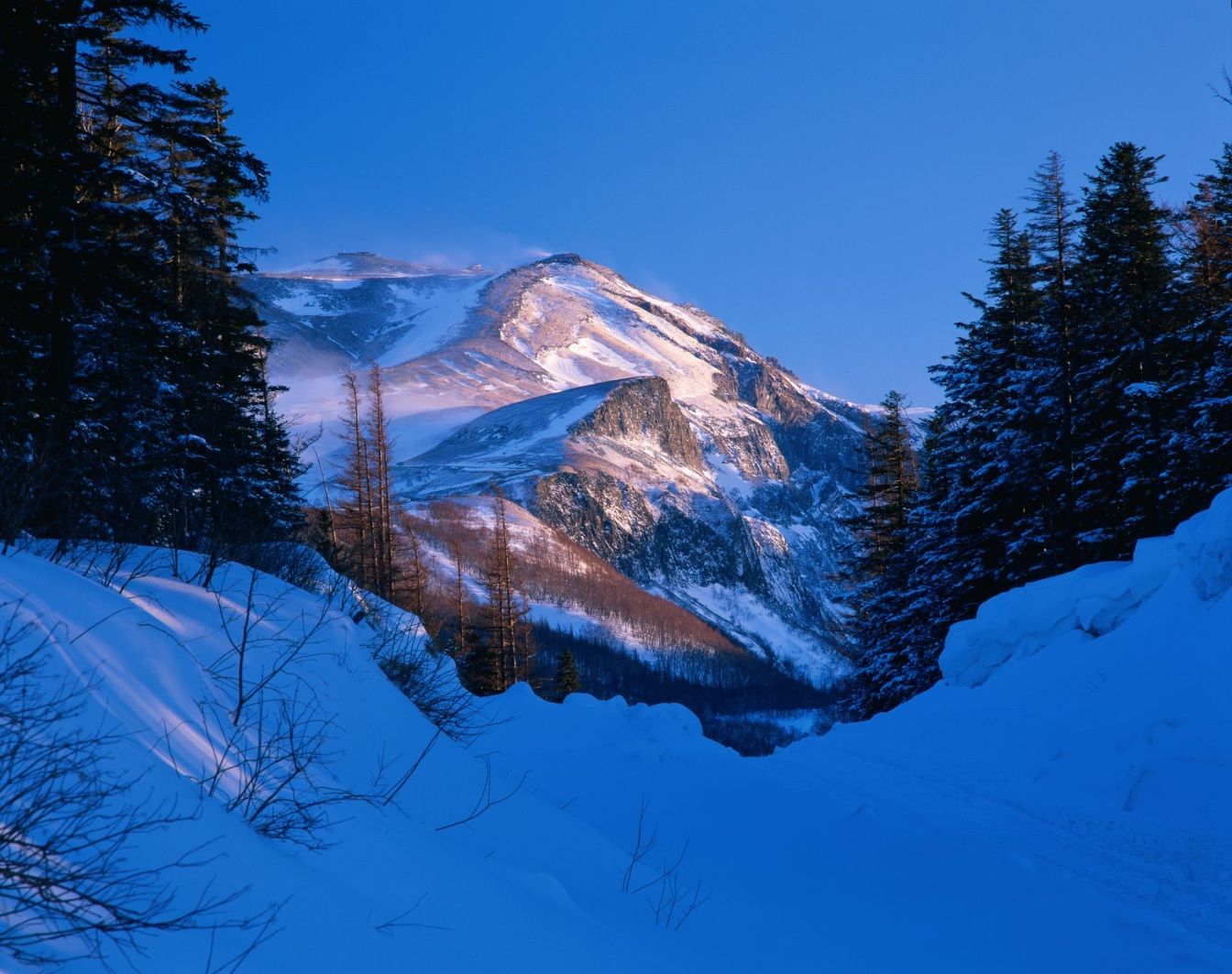
Das Gebiet Changbai Shan erstreckt sich über fast 1.000 km entlang der chinesisch – nordkoreanischen Grenze. Ein Großteil dieses Gebirges wurde 1961 zum Naturschutzgebiet erklärt. Die Gipfel erreichen Höhen über 2.500 m, der höchste Berg ist der Baitou Shan, was so viel bedeutet wie Weißkopf-Berg. Sein Gipfel erreicht eine Höhe von 2.744 m. Das Changbai Shan – Gebirge hat mit dem Baitou Shan die höchste Erhebung des ost-asiatischen Kontinents. Das Klima ist hier sehr rau, die Jahresdurchschnittstemperatur liegt gerade mal bei 3 – 7 Grad. Das ehemals vulkanisch aktive Gebiet besitzt einen sehr schönen Kratersee. Durch Ihn verläuft die Grenze zu Nordkorea. Das gesamte Gebiet wurde im Jahre 1980 unter den Schutz der UNESCO gestellt. Zu erreichen ist die Gegend im Norden des Landes am besten mit dem Zug, Endstation der Bahnlinie zum Changbai Chan ist das kleine Dorf Baihe.(Quelle:http://www.reise-ziele-online.de)
Der Paektusan (kor. Weißkopf-Berg), chinesisch Changbai Shan (immerweißer Berg) oder Baitou Shan genannt, ist die höchste Erhebung des Changbai-Gebirges an der Grenze zwischen der Volksrepublik China und Nordkorea. Die Angaben zur Höhe variieren je nach Quelle zwischen 2744 und 2750 Metern.
Der Berg liegt an der Grenze zwischen der nordkoreanischen Provinz Ryanggang-do und der chinesischen Provinz Jilin. Er ist der höchste Berg der Mandschurei, der Koreanischen Halbinsel und Nordkoreas. Auf dem Berg entspringen die Flüsse Songhua, Tumen und Yalu.
长白山(满语:ᡤᠣᠯᠮᡳᠨ
ᡧᠠᠩᡤᡳᠶᠠᠨ
ᠠᠯᡳᠨ,穆麟德:Golmin Šanggiyan Alin,太清:Golmin Xanggiyan Alin),古名不咸山(或为白罗聂·显干之音译)、太白山,在朝鲜半岛称白头山(朝鲜语:백두산/白頭山),是位于中华人民共和国和朝鲜民主主义人民共和国边境的界山。广义的长白山是指一条西南-东北走向绵延上千千米的一系列山脉,横亘于中国吉林、辽宁、黑龙江三省的东部及北朝鲜两江道交界处。狭义上的长白山则单指其主峰长白山,是一座休眠的活火山,在清朝时曾多次喷发。主峰白头峰最高点位于火山臼形成的天池南部的朝鲜民主主义人民共和国境内,天池位于中国和北朝鲜的边界上,在中国部分,分属吉林省白山市抚松县与延边朝鲜族自治州安图县。它实际上是一个相当宽阔的环形火山口(山体相对高度1600米左右,而山体宽度则达十几千米),火山口当中为天池。 由于是中国东北最高峰,长白山在多个中国北方民族的神话传说中都被视为“神山”及朝鲜族的发祥地。长白山是大清龙脉,龙兴之地,是满族祖先世世代代居住的地方,这是一块风水宝地。
白頭山[1](はくとうさん・朝鮮名:ペクトサン)は、朝鮮民主主義人民共和国(北朝鮮)両江道と中華人民共和国(中国)吉林省の国境地帯にある標高2,744mの火山。別名、長白山[2](ちょうはくさん)。
中国吉林省と北朝鮮両江道の国境地帯にあるこの山は、古くは「不咸山」「白山」「太白山」と呼ばれた[要出典]。このうち「白山」「太白山」は中国でも朝鮮でも後世までこの山の別名としても使われた。李氏朝鮮の時代には「太白山」と呼んでいた。現在北朝鮮と大韓民国(韓国)が用いている白頭山という名称の起源は不明である。
満州民族の満州語ではゴルミン・シャンギャン・アリン(満州文字:ᡤᠣᠯᠮᡳᠨ
ᡧᠠᠩᡤᡳᠶᠠᠨ
ᠠᠯᡳᠨ、転写:golmin šanggiyan alin、漢字音写:果勒敏珊延阿林、意は「どこまでも白い山」)と金の時代より使われ始めた。 清朝では長白山(ちょうはくさん。中国語: 簡体字中国語: 长白山; 繁体字: 長白山、チャンパイシャン、Chángbáishān)と漢訳され定着している。
Paektu Mountain (Korean: 백두산, 白頭山), also known as Baekdu Mountain and in China as Changbai Mountain (simplified Chinese: 长白山; traditional Chinese: 長白山), is an active stratovolcano on the Chinese–North Korean border.[3] At 2,744 m (9,003 ft), it is the highest mountain of the Changbai and Baekdudaegan ranges. Koreans assign a mythical quality to the volcano and its caldera lake, considering it to be their country's spiritual home.[4] It is the highest mountain in Korea and Northeast China.[5]
A large crater lake, called Heaven Lake, is in the caldera atop the mountain. The caldera was formed by the VEI 7 "Millennium" or "Tianchi" eruption of 946, which erupted about 100–120 km3 (24–29 cu mi) of tephra. This was one of the largest and most violent eruptions in the last 5,000 years (alongside the Minoan eruption, the Hatepe eruption of Lake Taupo in around AD 180, the 1257 eruption of Mount Samalas near Mount Rinjani and the 1815 eruption of Tambora).
The mountain plays an important mythological and cultural role in the societies and civil religions of both contemporary Korean states. For instance, it is mentioned in both of their national anthems and is depicted on the national emblem of North Korea.
Le mont Paektu ou mont Changbai en Chine est le point culminant de l'ensemble de la Corée, à 2 744 mètres d'altitude. C'était un mont sacré pour les Coréens et les Mandchous. En 946, il a été le théâtre d'une des plus fortes éruptions de notre ère. Sa partie chinoise est protégée par la réserve naturelle du mont Changbai qui a été reconnue réserve de biosphère en 1979, et sa partie nord-coréenne par la réserve naturelle du mont Paektu, réserve de biosphère depuis 1989 (1 320 km2). Situé dans une zone inhospitalière, ses abords sont relativement peu peuplés.
Il Monte Paektu, anche noto come Baitou (in cinese 白頭山T, 白头山S, BáitóushānP) e Baekdu (백두산?, 白頭山?, PaektusanMR), è il picco più alto della penisola coreana (2.744 m), al confine fra la Corea del Nord e la Cina. Il suo nome cinese è Changbai (長白山T, 长白山S, ChángbáishānP), da cui il nome della catena montuosa a cui appartiene, il Changbai Shan.
El monte Paektu (en chosŏn'gŭl, 백두산; en hancha, 白頭山; romanización revisada del coreano, Baektu-san; McCune-Reischauer, Paektu-san), también conocido como montaña Changbai en China, es una montaña volcánica localizada en la frontera entre Corea del Norte y China. Con 2744 m, es la montaña más alta de la montañas Changbai, al norte, y de la cordillera Baekdudaegan, al sur. También es la montaña más alta de la península de Corea y de Manchuria.
Пэктуса́н[2][3], также Байтоушань[2][3] (кор. 백두산) или Чанбайша́нь (кит. 长白山) — потенциально активный вулкан на границе КНДР (провинция Янгандо) и КНР (провинция Цзилинь). Гора имеет высоту 2744 м (2750 м[2]) и является высшей точкой Маньчжуро-Корейских гор, а также всей Маньчжурии и Корейского полуострова[4].


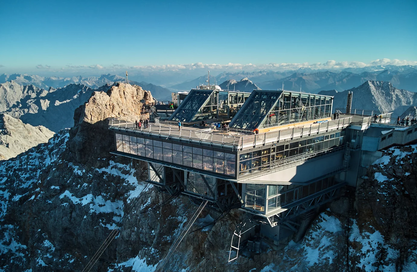

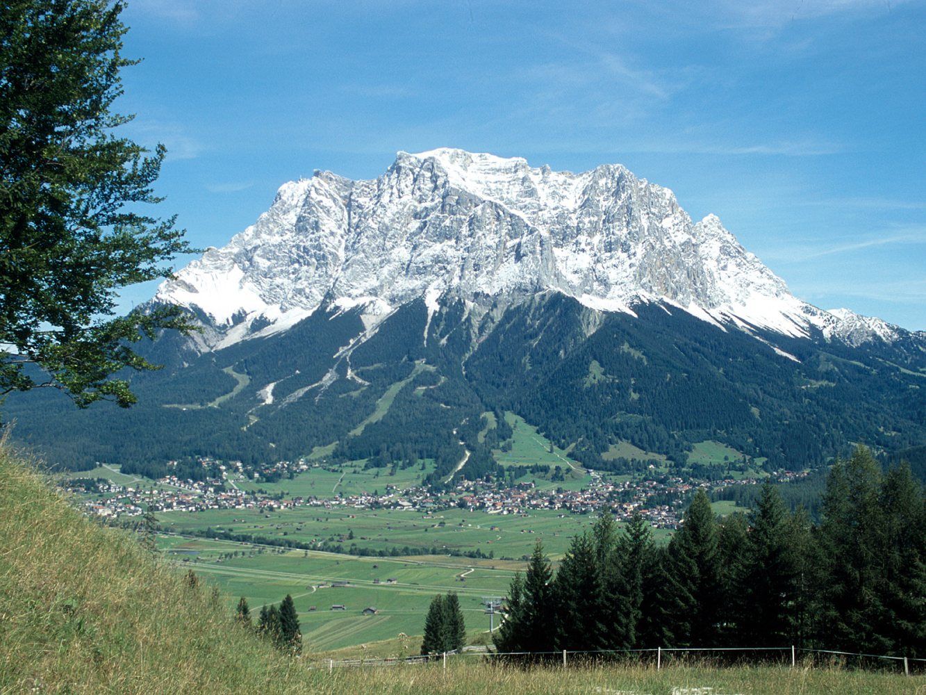
Die Zugspitze ist mit 2962 m ü. NHN[2] der höchste Gipfel des Wettersteingebirges und gleichzeitig Deutschlands höchster Berg.
Das Zugspitzmassiv liegt südwestlich von Garmisch-Partenkirchen in Bayern und im Norden Tirols. Ein Teil des Zugspitzmassivs liegt auf österreichischem Staatsgebiet, über seinen Westgipfel verläuft die Grenze zwischen Deutschland und Österreich. Südlich des Berges schließt sich das Zugspitzplatt an, eine Karst-Hochfläche mit zahlreichen Höhlen. An den Flanken der Zugspitze befinden sich zwei der insgesamt vier bayerischen Gletscher: der Nördliche Schneeferner, der in seinem Bestand stark gefährdet ist, und der Höllentalferner.
Die erste namentlich nachgewiesene Besteigung der Zugspitze gelang 1820 dem Vermessungsingenieur und damaligen Leutnant des bayerischen Heeres Josef Naus, seinem Messgehilfen Maier und dem Bergführer Johann Georg Tauschl. Heute gibt es drei Normalwege auf den Gipfel: Von Nordosten aus dem Höllental, von Südosten aus dem Reintal und von Westen über das Österreichische Schneekar. Mit dem Jubiläumsgrat führt eine der bekanntesten Gratrouten der Ostalpen auf die Zugspitze.
Der Berg ist heute mit drei Bergbahnen – der Tiroler Zugspitzbahn, der Bayerischen Zugspitzbahn und der Seilbahn Zugspitze – erschlossen.[3][4] Im Winter bedienen außerdem mehrere Skilifte ein Skigebiet auf dem Zugspitzplatt. Die Tiroler Zugspitzbahn und die Seilbahn Zugspitze sind Seilbahnen. Die Bayerische Zugspitzbahn ist eine Zahnradbahn, die auf Schienen und meistens in Tunneln zum Zugspitzplatt einige hundert Meter unterhalb der Zugspitze fährt, von wo aus eine weitere Luftseilbahn zur Zugspitze führt.
楚格峰(德语:Zugspitze),海拔2,962米,属于阿尔卑斯山脉,是德国的最高山峰。它位于北纬47度25分,东经10度59分,在德国巴伐利亚州,奥地利边境附近。
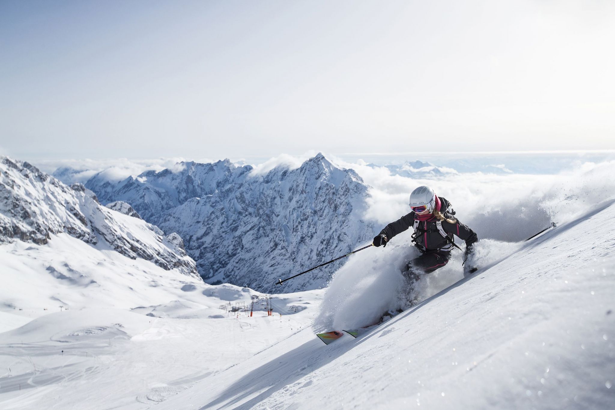

Die Landschaft Davos ([daˈfoːs][2] oder [daˈvoːs][3], in der walserdeutschen Ortsmundart Tafaas [taˈfaːs],[4][5] auch Tafaa [taˈfaː],[6] rätoromanisch  Tavau?/i, italienisch Tavate[7]) umfasst beinah das gesamte Landwassertal im Schweizer Kanton Graubünden. Die politische Gemeinde mit zahlreichen Siedlungen besteht aus den sechs Fraktionsgemeinden Davos Dorf, Davos Platz, Davos Frauenkirch, Davos Glaris, Davos Monstein und Davos Wiesen der Region Prättigau/Davos. Seit Mitte des 19. Jahrhunderts entwickelte sich Davos zu einem bekannten Luftkurort und Wintersportgebiet; die Bevölkerung stieg von 1680 Einwohnern im Jahr 1850 auf über 11'000 im Jahr 1930 an.
达沃斯位于海拔1560米的高处,作为欧洲最高的度假胜地及会议中心,而名闻遐迩。她座落在一片未受过污染,未遭遇破环的休闲度假区的中央,兼具有纯净的自然,如画的风光,乡村的风味和城市的生趣。在达沃斯,各种活动不受冬季或是夏季的限制。
冬 季度假者去那儿,保证有极佳的积雪,有七个质量与条件均无与伦比的滑雪场区供您选择。 交通便捷。班车频繁,在达沃斯与克洛斯特尔斯Klostets两个度假区之闲穿梭运客。帕塞恩Parsenn雪场的滑雪道在海拔3000米以上,自是享誉 世界,应是所有滑雪场区中的极品场地。越野滑雪,单板滑雪,传统溜冰,花样滑冰等是最令人畅快的冬季活动,即使仅仅在达沃斯周围溜达,呼吸著新鲜洁净的空 气,也已够舒心畅怀了。在夏季,您可以在达沃斯四周的山闲漫步,骑自行车漫游,打高尔夫球,或者,在这儿,在欧洲最美妙迷人的山区湖泊中作水中运动。明亮 舒适的山地火车与索道车带您到海拔2844米高的威斯弗卢峰Weissfluhch,或者带您到雅各伯霍仑峰Jakobshorn,力纳霍仑峰 Rinerhorn,匹萨峰 Pischa,玛德利萨峰Madrisa,与高契纳峰Gotschna。所有这些峰峦山脉组合成一个庄丽恢宏的大景观,一幅 群峰争比高的全景图。舒适雅致的山闲餐馆向您提供地方风味的特色餐饮,令您大饱口福。达沃斯也是一个疗养胜地。当然,现今那些疗养院,其专业内容已不再是 肺痨病了,而是长于治疗和对付那些过敏症,呼吸道疾病,或皮肤科病患。(Quelle:http://www.trip8848.com/)
达沃斯 (德语、法语:Davos;意大利语:Tavate;罗曼什语:Tavau)是瑞士东部的一个城镇,隶属格劳宾登州。2003年12月人口为10,998人。以冬季运动和每年在那里召开的达沃斯论坛知名。达沃斯(Davos)位于瑞士东南部格里松斯地区,靠近奥地利边境。这个小镇举世闻名,倒不全是因为它是个滑雪胜地,而是因为一年一度的世界经济论坛在这里举行,相形之下,“欧洲最大的高山滑雪场”的头衔就不那么引人注目了。达沃斯(Davos)的滑雪场分为七个部分,其中帕森地区(Parsenn)是最大也是最受欢迎的滑雪场;毗邻的克罗斯特滑雪场(Klosters)是英国皇室的最爱。
ダボス(ダヴォス[2]、ダヴォース[3][4]、ドイツ語: Davos [daˈvoːs, daˈfoːs]、ヴァリス語: Tafaas, Tafaa [taˈfaːs, taˈfaː]、ロマンシュ語: Tavau、ロンバルド語: Tavo、イタリア語旧称: Tavate)は、スイス・グラウビュンデン州にある基礎自治体である。国際的に著名な企業人、政治家、学者などが一堂に会し世界の諸問題を討議する「世界経済フォーラム」(通称「ダボス会議」)が毎年開催されることで有名な、山麓のリゾート・タウンである[5]。人口は11,109人(2015年12月)[1]、面積は283.98平方キロメートル、標高は1560メートル。
Davos (German pronunciation [daˈfoːs][3] or [daˈvoːs];[4] Romansh:  Tavau (help·info), archaic Italian: Tavate) is an Alpine town, and a municipality in the Prättigau/Davos Region in the canton of Graubünden, Switzerland. It has a permanent population of 11,060 (2016).[2] Davos is located on the river Landwasser, in the Rhaetian Alps, between the Plessur and Albula Range at 1,560 m (5,120 ft) above sea level.
The former Alpine resort village consists of two parts: Davos Dorf (lit.: "village") to the northeast towards Klosters and further down through the Prättigau to Landquart, and Davos Platz (lit.: "place") to the southwest, which opens into the valley of the Landwasser and eventually leads to Filisur. During summer season the Flüela Pass leads south-east into the Lower Engadine.
Davos is host to the World Economic Forum (WEF), an annual meeting of global political and business elites (often referred to simply as Davos) and the home of one of Switzerland's biggest ski resorts. At the end of every year it serves as the site of the annual Spengler Cup ice hockey tournament, hosted by the HC Davos local hockey team.
Davos (prononcé en allemand : [daˈvoːs]3, walser dialecte local : Tafaas [ta'fas], romanche : Tavau, italien : Tavate) est une commune du canton des Grisons, située dans la haute vallée de la rivière Landwasser dans la région de Prättigau/Davos, dans l'est de la Suisse. La ville est connue pour accueillir chaque année le forum économique mondial (World Economic Forum, WEF), réunion des dirigeants de la planète et des élites économiques. Davos est aussi connue en tant que station de sports d'hiver, et organise des événements tels que la Coupe Spengler en hockey sur glace, à laquelle l'équipe locale, le HC Davos participe.
Davos (toponimo tedesco, pronuncia [daˈvoːs][1]; localmente Tafaas[senza fonte], in romancio Tavau, in italiano Tavate[2], desueto) è un comune svizzero di 11.060 abitanti del Canton Grigioni, nella regione Prettigovia/Davos. Il 1º gennaio 2009 ha inglobato il comune soppresso di Wiesen, diventando il più esteso del cantone e il secondo per estensione di tutta la Svizzera[3]; ha lo status di città.
La località è nota in tutto il mondo perché ospita l'annuale Forum economico mondiale, un incontro fra i principali dirigenti politici e i principali esponenti economici, ed è rinomata per gli sport invernali.
Davos (en alemán se pronuncia Davós [código AFI: da ˈvoːs]; toponimia en romanche: Tavau, en italiano: Tavate) es una ciudad y comuna Suiza del cantón de los Grisones, situada en el distrito de Prettigovia/Davos, círculo de Davos.
La localidad es conocida por ser la sede del Foro Económico Mundial (World Economic Forum), también llamado 'Foro de Davos', en el que se reúnen desde 1991 los principales líderes empresariales, así como líderes políticos internacionales, periodistas e intelectuales selectos, a efectos de analizar los problemas más apremiantes que afronta el mundo, y entre ellos, la salud y el medio ambiente.
Este lugar también es muy conocido por su estación de esquí.
Даво́с (на местном диалекте — алем. Tafaas, нем. и фр. Davos, итал. Davos, редко — Tavate, ромш. Tavau) — город в восточной Швейцарии, в кантоне Граубюнден, на реке Ландвассер. История города началась с того, что ещё в XIX веке доктора признали микроклимат высокогорной долины полезным для больных лёгочными заболеваниями. Лечившийся здесь Роберт Луис Стивенсон написал в Давосе роман «Остров сокровищ». Также город является местом действия романа «Волшебная гора» немецкого писателя Томаса Манна.


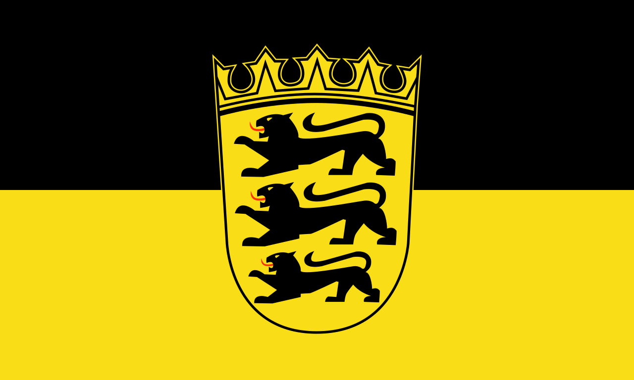 Baden-Wuerttemberg

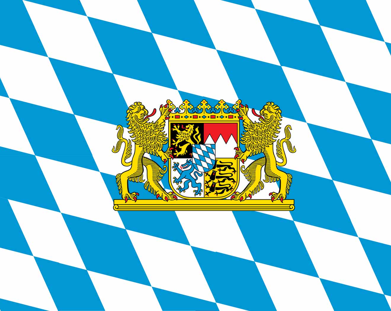 Bavaria
 Germany

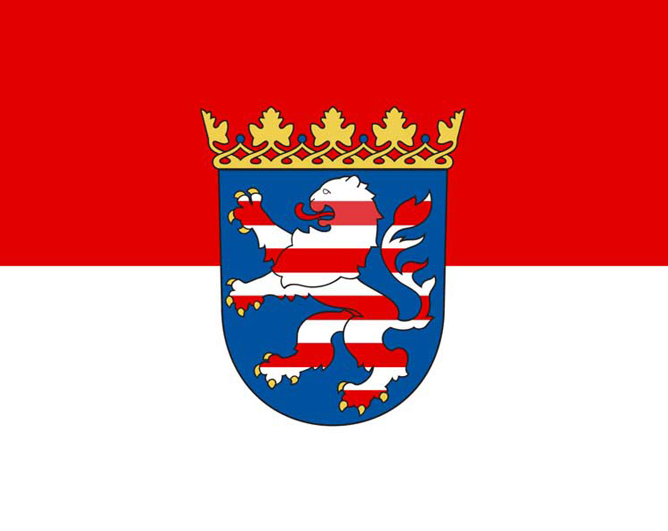 Hessen

 Lower Saxony

 North Rhine-Westphalia

 Saxony

 Sport
Sport

 Thuringia

 FIFA Fussball-Weltmeisterschaft 1990

 History

 International cities
 *World Design Capital
 Italy
Italy
 Winter Olympics
 2006 Winter Olympics

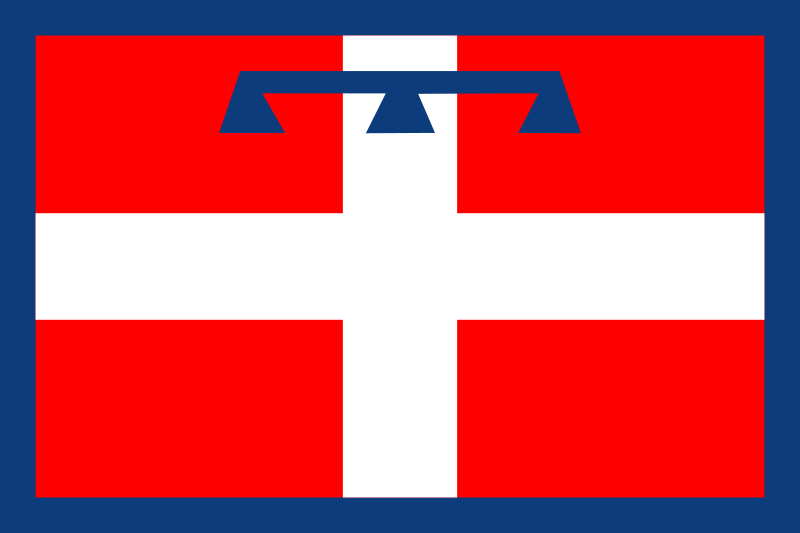 Piemonte
 Turin
Turin

 Ski vacation

 Cities founded by the Romans

Turin (italienisch Torino, lateinisch Augusta Taurinorum, piemontesisch Türin) ist eine Großstadt im Nordwesten Italiens, Verwaltungssitz der Metropolitanstadt Turin und der Region Piemont. Die Stadt hat 886.837 Einwohner im Stadtgebiet und ist somit die viertgrößte italienische Stadt. Etwa 1,7 Mio. Einwohner leben in der Agglomeration (2006) und 2,2 Mio. in der Metropolregion.
都灵(意大利语:Torino [toˈriːno] ![]() 聆听;皮埃蒙特语:Turin [tyˈɾiŋ];拉丁语:Augusta Taurinorum),中国大陆和港澳地区称为都灵,台湾称为杜林,是位于意大利北部的重要城市,皮埃蒙特大区和都灵广域市的首府。它坐落在波河的左岸,距离米兰大约140千米(87英里),阿尔卑斯山环绕在城市的西北。都灵中心区有面积130.17km²,人口911,534[2],是意大利人口第四多的城市;都灵城市区有面积1,126.6 km²,人口1,745,221[3];都灵都市圈有面积1,977 km²,人口2,200,000[4](占意大利总人口的3.4%[5])。
聆听;皮埃蒙特语:Turin [tyˈɾiŋ];拉丁语:Augusta Taurinorum),中国大陆和港澳地区称为都灵,台湾称为杜林,是位于意大利北部的重要城市,皮埃蒙特大区和都灵广域市的首府。它坐落在波河的左岸,距离米兰大约140千米(87英里),阿尔卑斯山环绕在城市的西北。都灵中心区有面积130.17km²,人口911,534[2],是意大利人口第四多的城市;都灵城市区有面积1,126.6 km²,人口1,745,221[3];都灵都市圈有面积1,977 km²,人口2,200,000[4](占意大利总人口的3.4%[5])。
都灵是一国际化的欧洲城市,[6][7] 都灵有时被称为“意大利自由的摇篮”、[8]、“阿尔卑斯之都”、“萨沃亚之都”。它拥有众多的文化设施和其他名胜。都灵因为它的巴洛克、洛可可和新古典主义法式建筑而举世闻名。它的很多广场、城堡、庭园和宫殿(如贵妇宫),都是由西西里建筑师菲利波·尤瓦拉建造的,他在设计时借鉴了法国经典建筑凡尔赛宫。[9] 这些法式建筑的典范包括:王宫、斯杜皮尼吉行宫和苏佩尔加大教堂。许多意大利高等教育机构位于此地,如都灵大学、都灵理工大学、都灵美术学院等。还有许多重要和著名的博物馆,如埃及博物馆[10] 和安托内利尖塔。
都灵曾经是欧洲重要的政治中心。1563年,它成为了萨伏依公国的首都,随后是萨伏依王室统治下的萨丁尼亚王国的首都,最后是意大利统一之后的第一个首都(1861年—1865年)。[11] 同时,它也是萨沃亚王室(意大利王室)的故乡。[12] 虽然因为第二次世界大战,它的大部分政治意义和重要性都丢失了,它还是在战后成为了欧洲重要的工业、商业和贸易的集散地。它现在是意大利的工业中心之一,和米兰、热那亚组成了“工业铁三角”。从经济上来说,都灵紧随罗马和米兰之后,是意大利第三大城市。[13] 它的GDP高达580亿美元,排名世界第78位。[14] 虽然不像罗马、米兰那样是“世界级城市”,GaWC评其为“适合发展”级别。[15]
都灵是意大利汽车制造业的摇篮,被称为“意大利汽车之都”或者“意大利的底特律”。是汽车品牌菲亚特、蓝旗亚和阿尔法·罗密欧的总部所在地。[16][17] 都灵还拥有足球俱乐部尤文图斯和都灵,举办过2006年冬季奥林匹克运动会。一些国际空间站设备,如和谐号节点舱和哥伦布实验舱,也是在都灵制造的。
トリノ(伊: Torino (![]() 音声ファイル))は、イタリア共和国ピエモンテ州にある都市で、その周辺地域を含む人口約87万人の基礎自治体(コムーネ)。ピエモンテ州の州都であり、トリノ県の県都。イタリア第4の人口規模を持つ。都市圏の人口は約170万人。一時は100万都市だったが昨今は人口減少が著しい。
音声ファイル))は、イタリア共和国ピエモンテ州にある都市で、その周辺地域を含む人口約87万人の基礎自治体(コムーネ)。ピエモンテ州の州都であり、トリノ県の県都。イタリア第4の人口規模を持つ。都市圏の人口は約170万人。一時は100万都市だったが昨今は人口減少が著しい。
ミラノに次ぐイタリア第2の工業都市であり、自動車工業の拠点である。近代にはサルデーニャ王国の首都が置かれた。サヴォイア王家の王宮群は世界遺産に登録されている。
Turin (/tjʊəˈrɪn, ˈtʊərɪn/;[2] Italian: Torino [toˈriːno] ( listen); Piemontese: Turin [tyˈriŋ])[3] is a city and an important business and cultural centre in northern Italy. It is the capital city of the Metropolitan City of Turin (an administrative division of Italy) and of the Piedmont region, and was the first capital city of Italy from 1861 to 1865. The city is located mainly on the western bank of the Po River, in front of Susa Valley, and is surrounded by the western Alpine arch and Superga Hill. The population of the city proper is 883,281 (30 November 2017)[4] while the population of the urban area is estimated by Eurostat to be 1.7 million inhabitants. The Turin metropolitan area is estimated by the OECD to have a population of 2.2 million.[5]
The city has a rich culture and history, being known for its numerous art galleries, restaurants, churches, palaces, opera houses, piazzas, parks, gardens, theatres, libraries, museums and other venues. Turin is well known for its Renaissance, Baroque, Rococo, Neo-classical, and Art Nouveau architecture. Many of Turin's public squares, castles, gardens and elegant palazzi such as the Palazzo Madama, were built between the 16th and 18th centuries. A part of the historical center of Turin was inscribed in the World Heritage List under the name Residences of the Royal House of Savoy.
The city used to be a major European political center. From 1563, it was the capital of the Duchy of Savoy, then of the Kingdom of Sardinia ruled by the Royal House of Savoy, and the first capital of the unified Italy (the Kingdom of Italy) from 1861 to 1865.[6][7] Turin is sometimes called "the cradle of Italian liberty" for having been the birthplace and home of notable individuals who contributed to the Risorgimento, such as Cavour.[8]
The city currently hosts some of Italy's best universities, colleges, academies, lycea and gymnasia, such as the University of Turin, founded in the 15th century, and the Turin Polytechnic. In addition, the city is home to museums such as the Museo Egizio[9] and the Mole Antonelliana. Turin's attractions make it one of the world's top 250 tourist destinations and the tenth most visited city in Italy in 2008.[10]
Even though much of its political significance and importance had been lost by World War II, Turin became a major European crossroad for industry, commerce and trade, and is part of the famous "industrial triangle" along with Milan and Genoa. Turin is ranked third in Italy, after Milan and Rome, for economic strength.[11] With a GDP of $58 billion, Turin is the world's 78th richest city by purchasing power.[12] As of 2010, the city has been ranked by GaWC as a Gamma World city.[13] Turin is also home to much of the Italian automotive industry.[14][15]
Turin is well known as the home of the Shroud of Turin, the football teams Juventus F.C. and Torino F.C., the headquarters of automobile manufacturers FIAT, Lancia and Alfa Romeo, and as host of the 2006 Winter Olympics.
Turin (Torino en italien, Turin en piémontais) est une ville italienne, chef-lieu de la ville métropolitaine de Turin et de la région du Piémont. Turin fut la capitale des États de Savoie de 1563 à 1713, du royaume de Sicile de 1713 à 1720, du royaume de Sardaigne de 1720 à 1861 et du royaume d'Italie de 1861 à 1865.
Torino (AFI: /toˈrino/[4], ascolta[?·info]; Turin in piemontese[5]) è un comune italiano di 879 808 abitanti[2], capoluogo dell'omonima città metropolitana e della regione Piemonte.
Cuore di un'area metropolitana che conta quasi 2 000 000 di abitanti su una superficie approssimativa di circa 2 300 km²,[6] la città di Torino è il quarto comune italiano per popolazione, il terzo complesso economico-produttivo del Paese e costituisce uno dei maggiori poli universitari, artistici, turistici, scientifici e culturali d'Italia. Nel suo territorio sono inoltre presenti aree ed edifici inclusi in due beni protetti dall'UNESCO: alcuni palazzi e zone facenti parte del circuito di residenze sabaude in Piemonte (patrimonio dell'umanità[7]) e l'area delle colline del Po (riserva della biosfera).
Città dalla storia bimillenaria, fu fondata probabilmente come Taurasia nei pressi della posizione attuale attorno al III secolo a.C. dai Taurini, popolazione ligure (o celto-ligure) dell'Italia settentrionale, e trasformata in colonia romana da Augusto col nome di Iulia Augusta Taurinorum nel I secolo a.C. Dopo il dominio ostrogoto fu capitale di un importante ducato longobardo, per poi passare, dopo essere divenuta capitale di marca carolingia, sotto la signoria nominale dei Savoia nell'XI secolo. Città dell'omonimo ducato, nel 1563 ne divenne capitale. Dal 1720 fu capitale del Regno di Sardegna (anche se solo de facto fino alla fusione perfetta del 1847, quando lo divenne anche formalmente),[8] stato che nel XIX secolo avrebbe portato all'unificazione italiana e che fece di Torino la prima capitale del Regno d'Italia (dal 1861 al 1865).
È stata la patria, natia o adottiva, di alcuni fra i più grandi scrittori e letterati italiani del XIX e XX secolo, tra i quali Edmondo De Amicis, Emilio Salgari, Italo Calvino, Natalia Ginzburg, Norberto Bobbio, Cesare Pavese e Primo Levi.
Sede nel 2006 dei XX Giochi olimpici invernali, città natale di alcuni fra i maggiori simboli del Made in Italy nel mondo, come il Martini, il cioccolato gianduja e il caffè espresso, è il fulcro dell'industria automobilistica italiana, nonché importante centro dell'editoria, del sistema bancario e assicurativo, delle tecnologie dell'informazione, del cinema, dell'enogastronomia, del settore aerospaziale, del disegno industriale e dello sport.
Turín (en italiano: Torino, en piamontés: Turin) es una ciudad, importante centro cultural y de negocios del norte de Italia, capital de la región de Piamonte, localizada principalmente en el margen izquierdo del río Po y rodeada por los Alpes. El área metropolitana de Turín, según la Organización para la Cooperación y el Desarrollo Económico, tiene una población de alrededor de 2.200.000 habitantes.2
La ciudad es rica en cultura e historia. Es conocida por sus numerosos museos de arte, sus restaurantes, sus iglesias, sus palacios, sus teatros de ópera, sus plazas, sus parques, sus jardines y sus bibliotecas, entre otros atractivos. Turín es ampliamente reconocida por su arquitectura barroca, rococo, neoclásica y Art Nouveau. Muchas de las plazas públicas de la ciudad, de los castillos, jardines y elegantes palacios (como el Palazzo Madama), fueron construidos por el arquitecto siciliano Filippo Juvarra, quien diseñó estos edificios en el estilo barroco y clásico del Palacio de Versalles, en Francia.3 Ejemplos de estos edificios de inspiración francesa incluyen el Palacio Real de Turín, el Pabellón de caza de Stupinigi y la Basílica de Superga.
Turín es frecuentemente llamada la «cuna de Italia» por ser el lugar de nacimiento de importantes políticos que contribuyeron con la unificación de Italia, como Cavour.4 La ciudad actualmente alberga algunas de las mejores universidades de Italia, como la Universidad de Turín, de seis siglos de antigüedad, y el Politécnico de Turín. También se encuentran en la ciudad museos prestigiosos e importantes, como el Museo Egipcio de Turín5 (el más antiguo en el mundo y considerado el segundo más importante en el mundo después de El Cairo por valor de los hallazgos) y la Mole Antonelliana. Los diversos monumentos y atracciones de Turín la convierten en una de los 250 principales destinos turísticos del mundo y en la décima ciudad más visitada de Italia para el año 2008.6
La ciudad solía ser un importante centro político europeo, siendo la primera capital de Italia en 1861 y la ciudad de residencia de la Casa de Saboya, la familia real de Italia.7 A pesar de que mucho de su significado e importancia política se había perdido cuando comenzó la Segunda Guerra Mundial, se convirtió en uno de los principales centros industriales y comerciales de Europa, y actualmente es una de las ciudades más industrializadas de Italia, formando junto con Milán y Génova el famoso "triángulo industrial". A pesar de tener muchos menos habitantes que Roma y Milán, Turín es la tercera ciudad más rica de Italia, después de estas.8 Con un Producto Interno Bruto de 58.000 millones de dólares, Turín es la ciudad número 78 en la lista de las más ricas del mundo por su poder adquisitivo.91011 Turín es también la sede de gran parte de la potente industria automovilística italiana.1213
La ciudad es también conocida por resguardar la «Sábana Santa», por ser la sede de los equipos de fútbol Juventus F.C. y Torino Football Club, el lugar donde se producen los coches FIAT, Lancia, Alfa Romeo, Maserati y la sede de los juegos olímpicos de invierno de 2006. Varios módulos de la Estación Espacial Internacional, como el Harmony y el Columbus, fueron fabricados en Turín.
Fue la capital del Ducado de Saboya desde 1563, luego del Reino de Cerdeña y finalmente la primera capital de Italia.14 Piero Fassino fue el alcalde de Turín, elegido en mayo de 2011 para un mandato de 5 años, representando a una coalición de centro-izquierda y fue a su vez el sucesor de Sergio Chiamparino. Desde junio de 2016, la alcaldesa es la economista Chiara Appendino, del partido Movimento 5 Estrellas.
Тури́н (итал. Torino [toˈriːno], пьем. Turin [tyˈɾiŋ]) — город в Италии, важный деловой и культурный центр северной Италии. Административный центр региона Пьемонт и одноимённой провинции Турин.
Расположен при впадении реки Дора-Рипария в реку По, на Паданской равнине у подножия Западных Альп, на подступах к Альпийским перевалам.
Четвёртый после Рима, Милана и Неаполя город Италии по количеству жителей, насчитывает около 880 тыс. чел. (2017), вместе с пригородами 1,7 миллион человек.
Город имеет богатую историю и культуру, и известен своими арт-галереями, дворцами, театрами, музеями, парками. Турин также знаменит своей архитектурой в стилях барокко, рококо, неоклассицизма и модерна.
Большая часть замков, дворцов (в частности Палаццо Мадама), садов и площадей были построены в XVI-XVIII вв. в процессе перевода столицы Савойского герцогства (позднее Сардинское королевство) из Шамбери (ныне Франция) в Турин.
Турин иногда называют «колыбелью итальянской свободы», за то, что он является родным городом заметных политиков и людей, внесших большой вклад в Рисорджименто, например Камилло Бенсо ди Кавур. В городе находятся множество университетов, колледжей, академий, лицеев и гимназий. Среди них основанный в XV веке Туринский университет. Самыми известными достопримечательностями Турина являются Египетский музей и символ города Моле Антонеллиана. Эти и многие другие достопримечательности делают город привлекательным для туристов со всего мира и позволяют Турину входить в десятку самых посещаемых городов Италии[3].
Город в XIX веке являлся важным политическим центром Европы. В 1861 году Турин стал первой столицей объединенной Италии и наряду с этим являлся столицей для Савойского дома, правящей династии Королевства Италии. Несмотря на то, что большая часть политической значимости Турина была растеряна после отмены монархии в Италии, город остается важным промышленным, экономическим и торговым центром Европы и Италии. Турин является третьим по экономическим показателям городом страны, после Милана и Рима. Также Турин является своего рода столицей автомобилестроения Италии. В городе располагаются штаб-квартиры компаний FIAT, Lancia, Iveco.
Город известен в мире благодаря христианской реликвии — Туринской плащанице, а также футбольным командам «Ювентус» и «Торино». Турин — столица зимних Олимпийских игр 2006 года.
Покровителем города считается Св. Иоанн Креститель (итал. San Giovanni Battista). Праздник города — 24 июня.


 Animal world
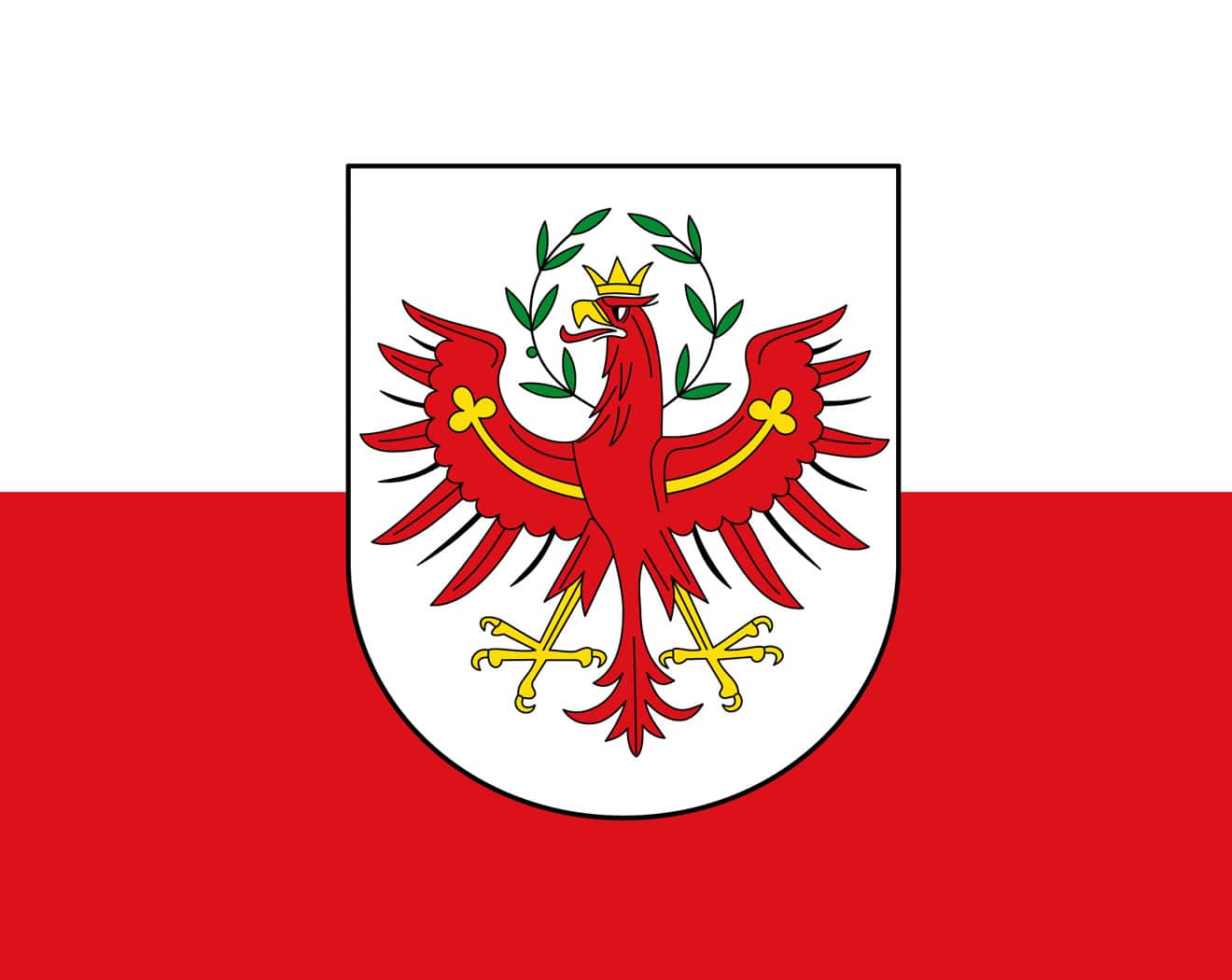 Tyrol
Tyrol