漢德百科全書 | 汉德百科全书
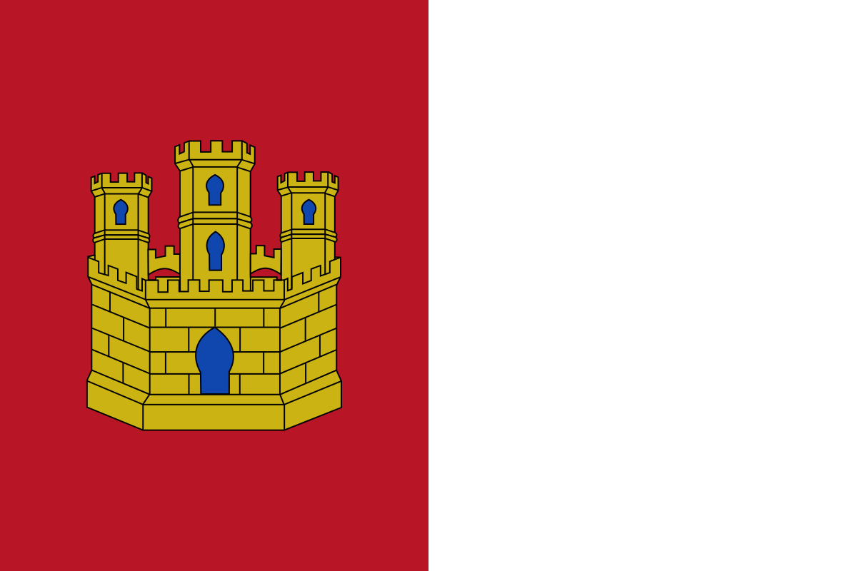
 Aragón
 Sport
Sport

 Andalusia
Aragón
Andalusia
Aragón
 Asturias
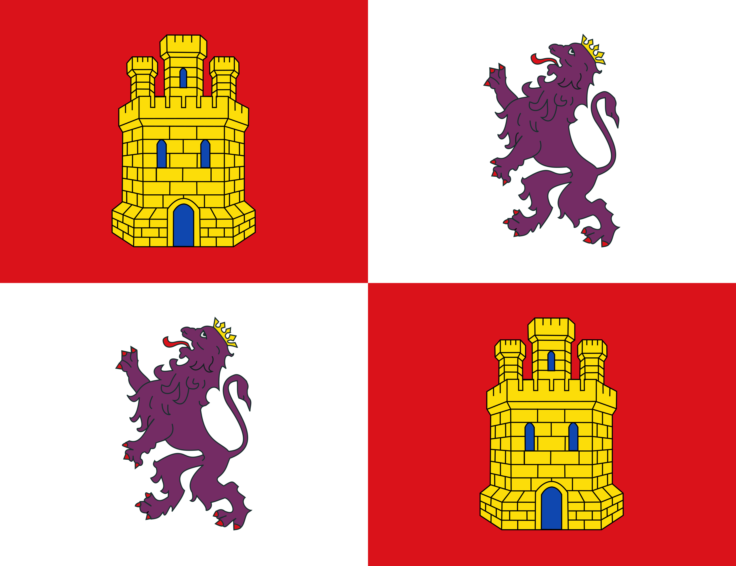 Castilla y León
 Cataluña
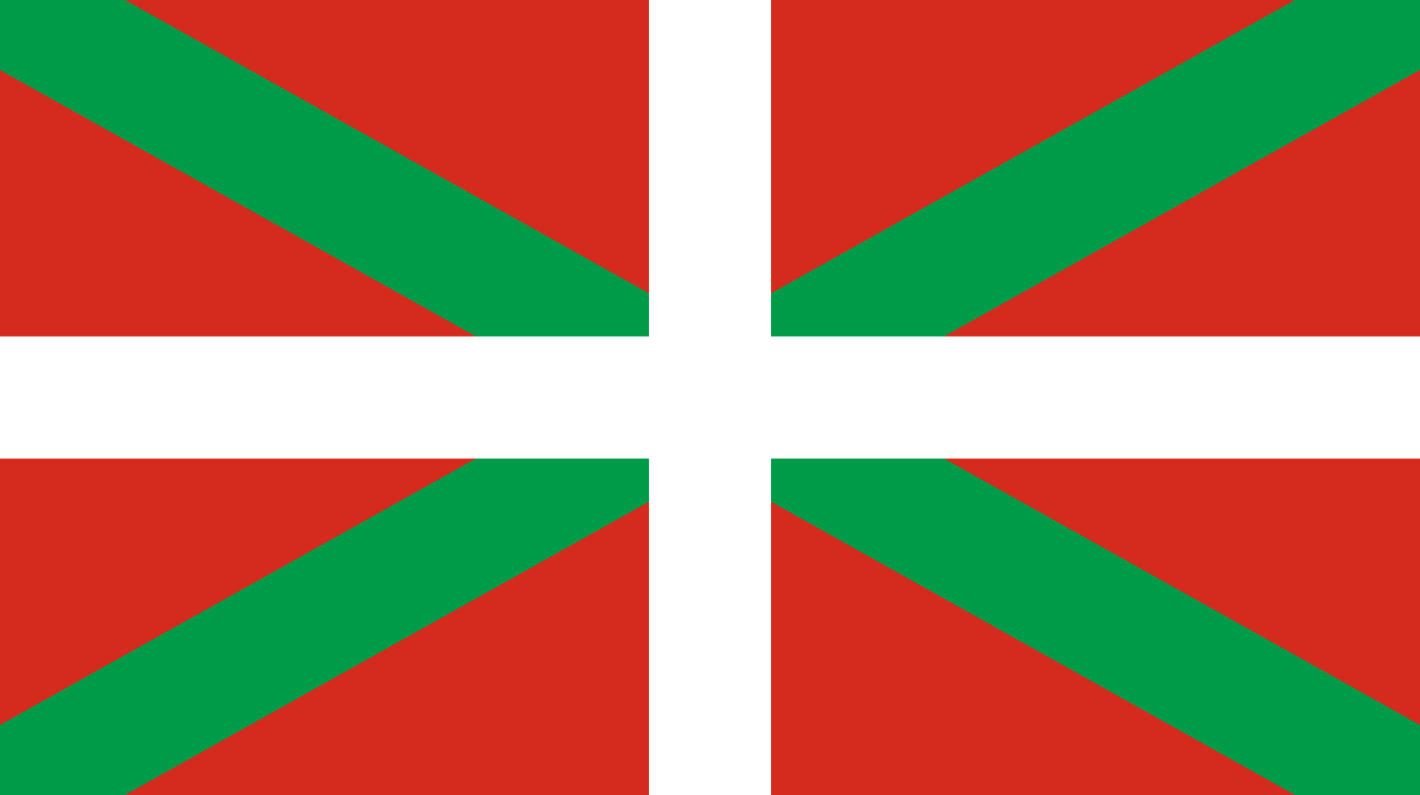 Comunidad Autónoma del País Vasco
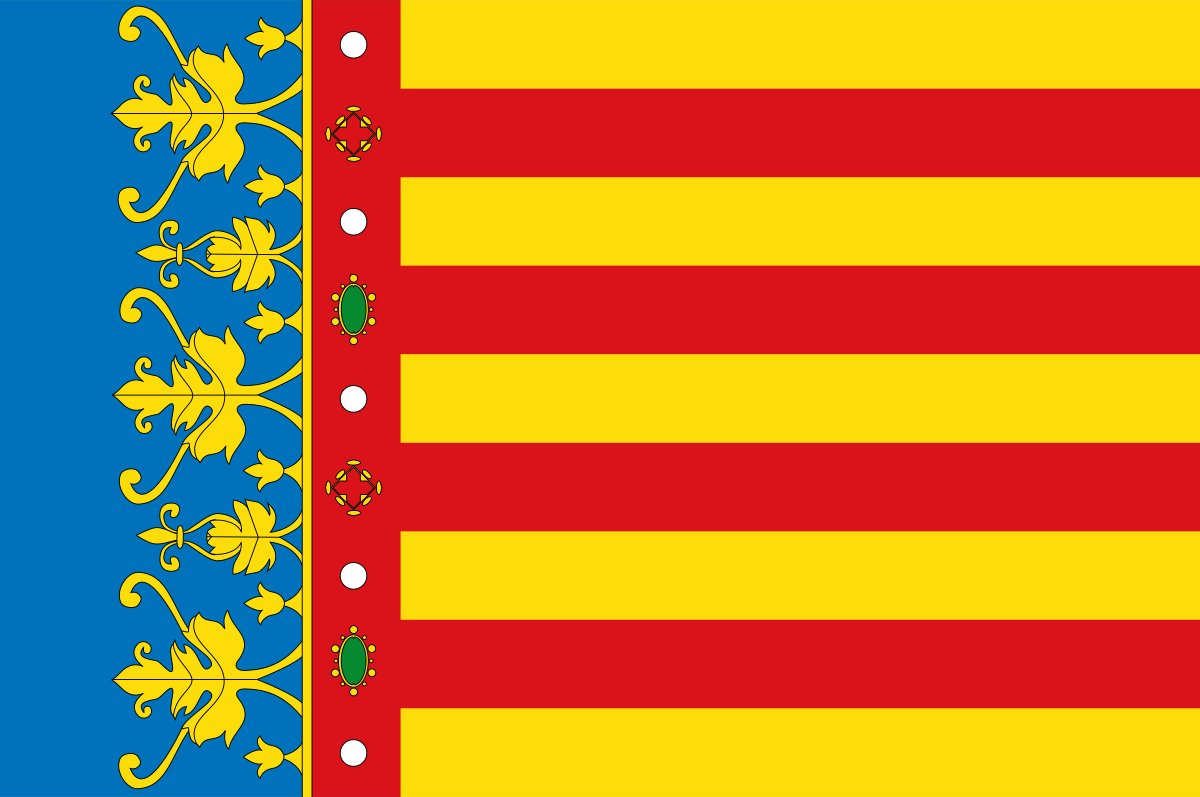 Valencian Community
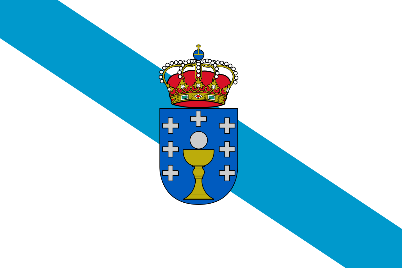 Galicia
 Madrid
Spain
Madrid
Spain

 Exhibition
 Architecture

 Castilla-La Mancha

 Companies
 Agriculture, forestry, livestock, fishing

 History

Die Aljafería ist der Stadtpalast von Saragossa in der spanischen Autonomen Gemeinschaft Aragonien. Der Palast hat einen grob quadratischen Grundriss und ist von Wehrmauern und einem Graben umgeben. Die ältesten Teile stammen aus der Zeit der maurischen Herrschaft (vor allem bald nach 1065), im Laufe der Jahrhunderte wurden mehrfach Teile hinzugefügt und verändert. Die letzten größeren Umbauten erfolgten im 19. Jahrhundert, und nach dem Zweiten Weltkrieg wurden umfangreiche Freilegungen und Rekonstruktionen durchgeführt.
Der Palast beherbergt heute ein Museum, einen in ehemaligen Kasernen untergebrachten Verwaltungstrakt sowie das aragonesische Regionalparlament.
阿尔哈费里亚宫(西班牙语:Palacio de la Aljafería,阿拉伯语:قصر الجعفرية,转写:Qasr al-Jaʿfariya)是位于西班牙城市萨拉戈萨的一座宫殿建筑,是西班牙世界遗产“阿拉贡的穆德哈尔式建筑”的一部分[1]。阿尔哈费里亚宫的大部分建筑是萨拉戈萨泰法穆斯林王国在11世纪建造。公元1118年,阿方索一世在收复失地运动中夺回了萨拉戈萨,阿尔哈费里亚宫之后成为了阿拉贡王室用地。在佩德罗四世时期,这里成了皇家住所,许多伊斯兰风格的建筑被改建成天主教风格建筑。文艺复兴时期,人们修建了城墙和军事防御结构。它在半岛战争期间遭到了拿破仑军队的破坏。
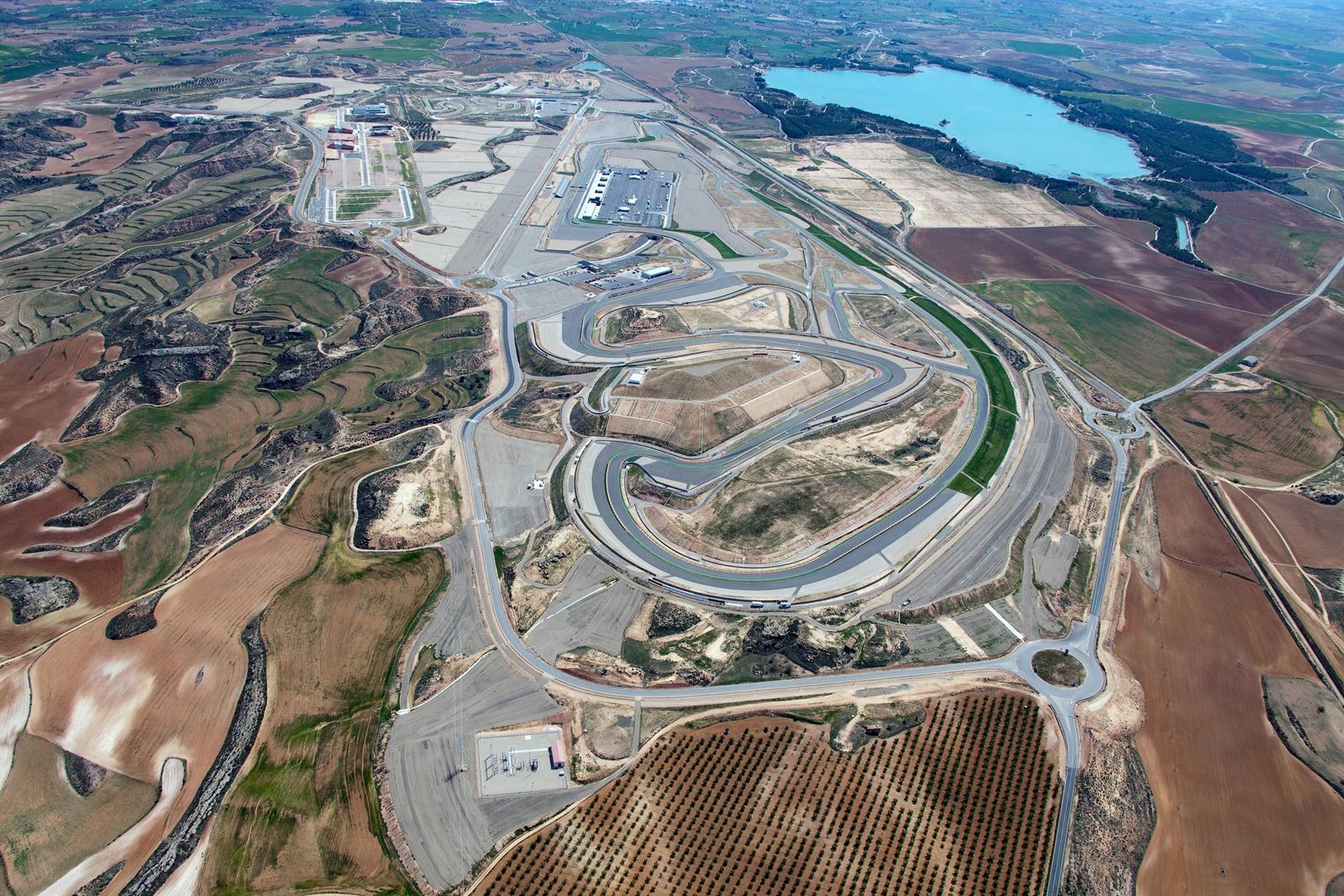
 Motorsport
 Geography
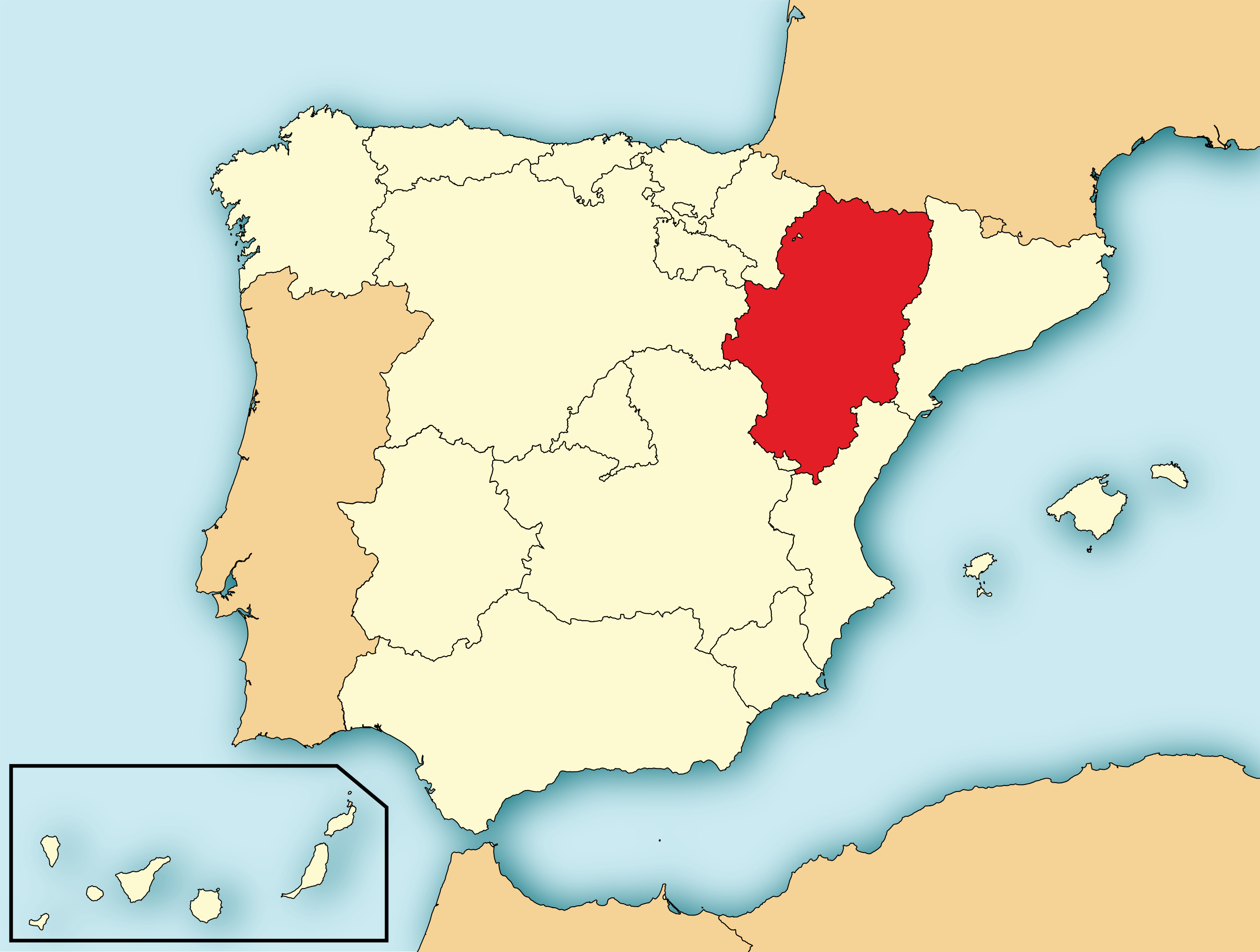
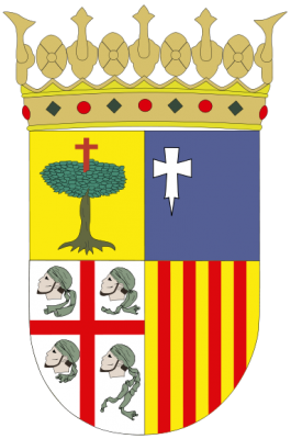
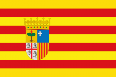
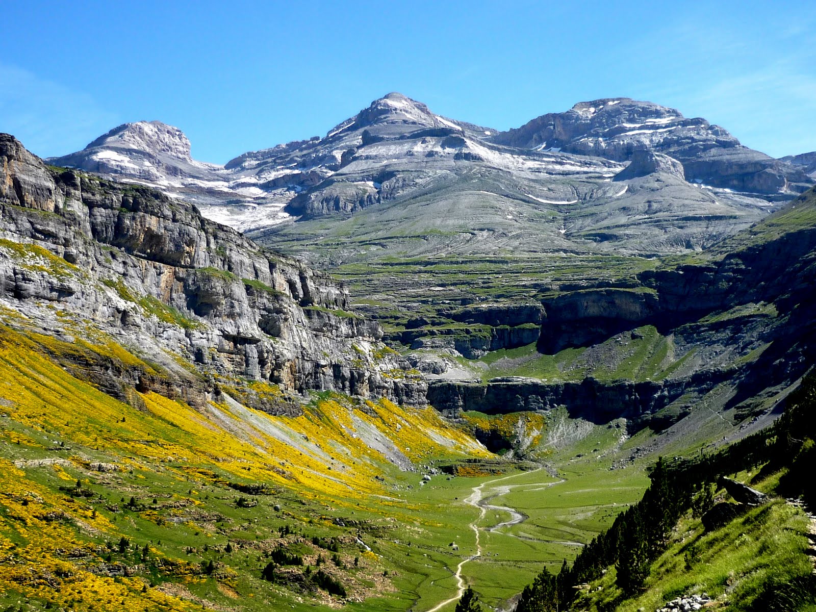
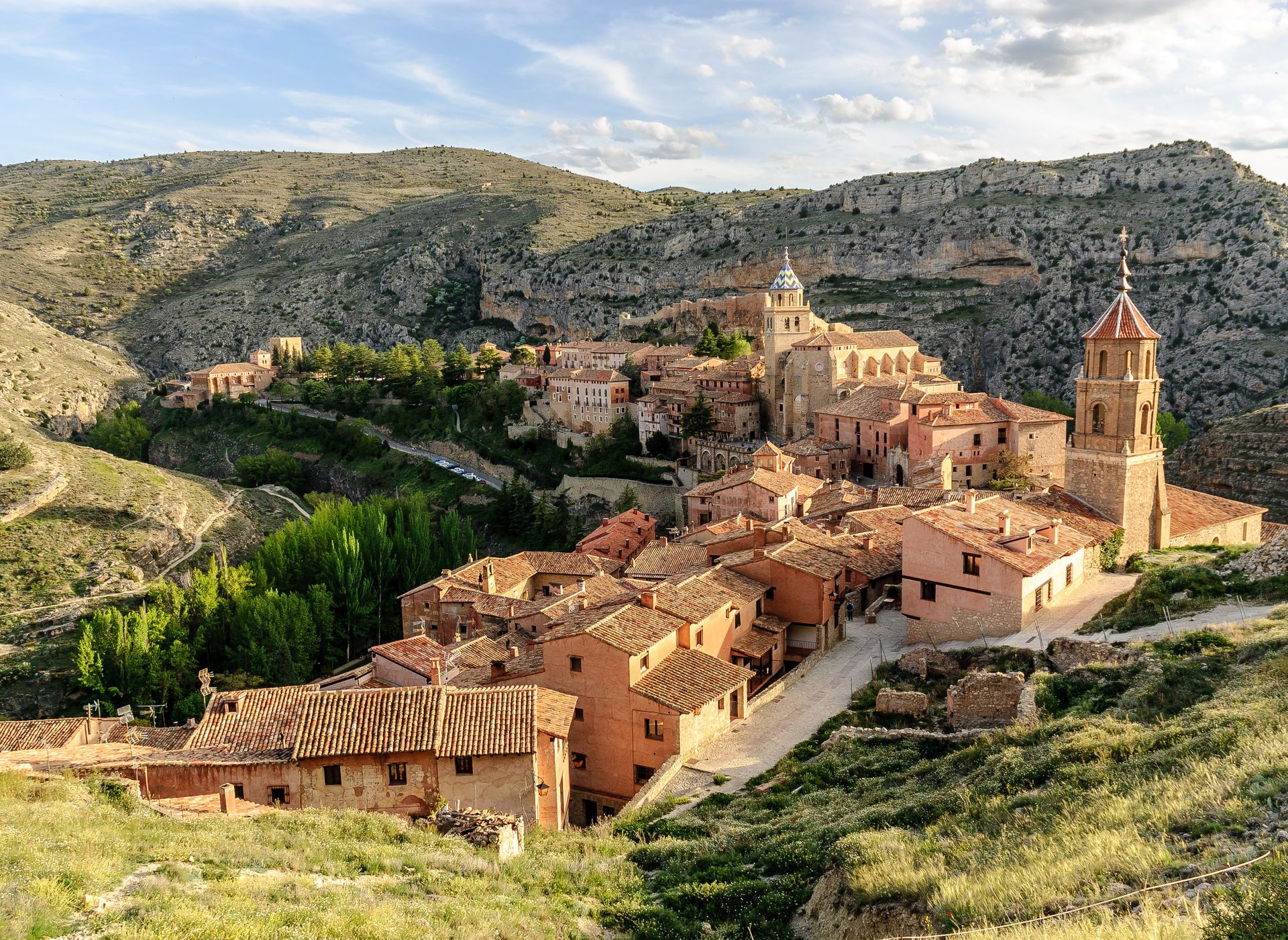
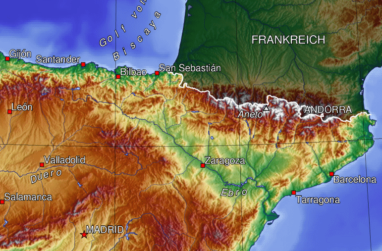
Aragonien oder Aragon (spanisch und aragonesisch Aragón, katalanisch Aragó) ist eine autonome Gemeinschaft im Nordosten Spaniens. Sie grenzt im Norden auf dem Hauptkamm der Pyrenäen an Frankreich, im Osten an Katalonien, im Südosten an Valencia und im Westen an Kastilien-La Mancha, Kastilien und León, La Rioja sowie Navarra. Hauptstadt ist Saragossa.
Das Gebiet der heutigen autonomen Gemeinschaft entspricht dem früheren Königreich Aragonien im engeren Sinne, das seinen Namen wiederum dem Fluss Aragón verdankte.
阿拉贡(西班牙语:Aragón;加泰罗尼亚语:Aragó;阿拉贡语:Aragón)是西班牙东北部的一个自治区,面积47,719平方公里,人口1,277,471(2003年)。
阿拉贡向北与法国相邻,向东是加泰罗尼亚,向南是巴伦西亚省,向西是卡斯蒂利亚-拉曼恰、卡斯蒂利亚-莱昂、拉里奥哈和纳瓦拉。萨拉戈萨省、韦斯卡省和特鲁埃尔省属于阿拉贡自治地区。阿拉贡的首府是萨拉戈萨。

Aragón
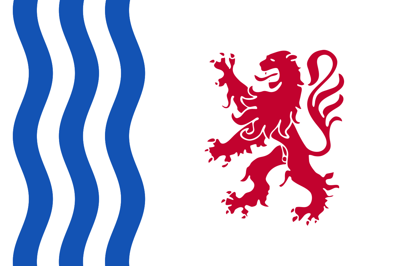
 Cantabria
Castilla y León
Cataluña
Comunidad Autónoma del País Vasco
Cantabria
Castilla y León
Cataluña
Comunidad Autónoma del País Vasco
 Foral Community of Navarra
Valencian Community
Foral Community of Navarra
Valencian Community
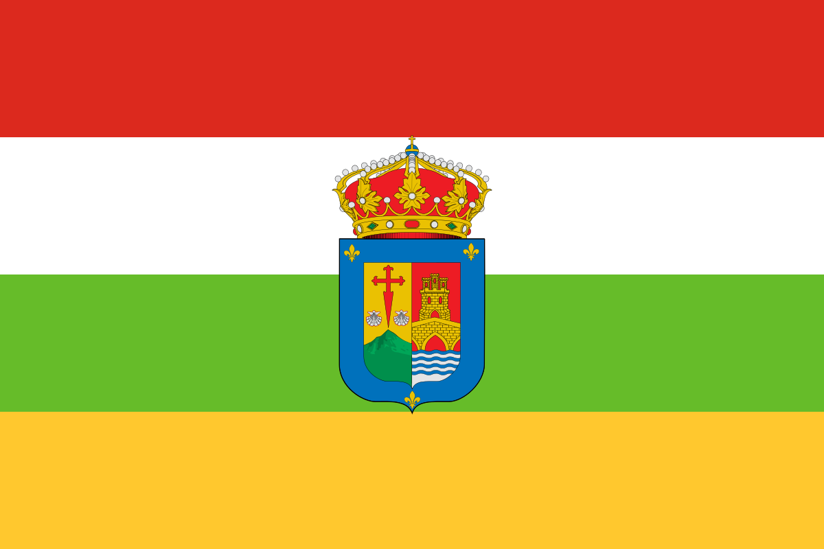 La Rioja
Spain
La Rioja
Spain
 Animal world

 Nouvelle-Aquitaine
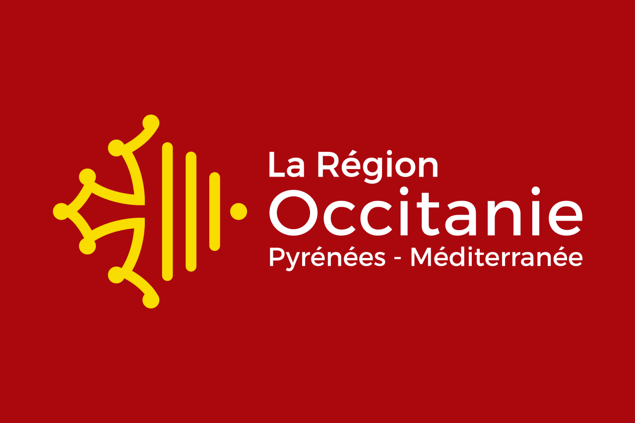 Occitania