
漢德百科全書 | 汉德百科全书
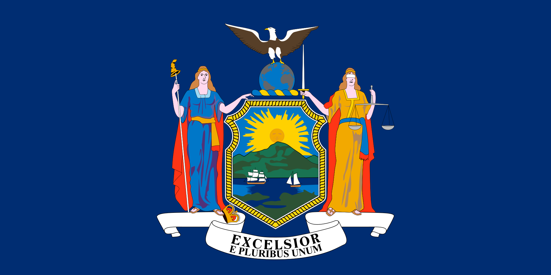
 New York-NY
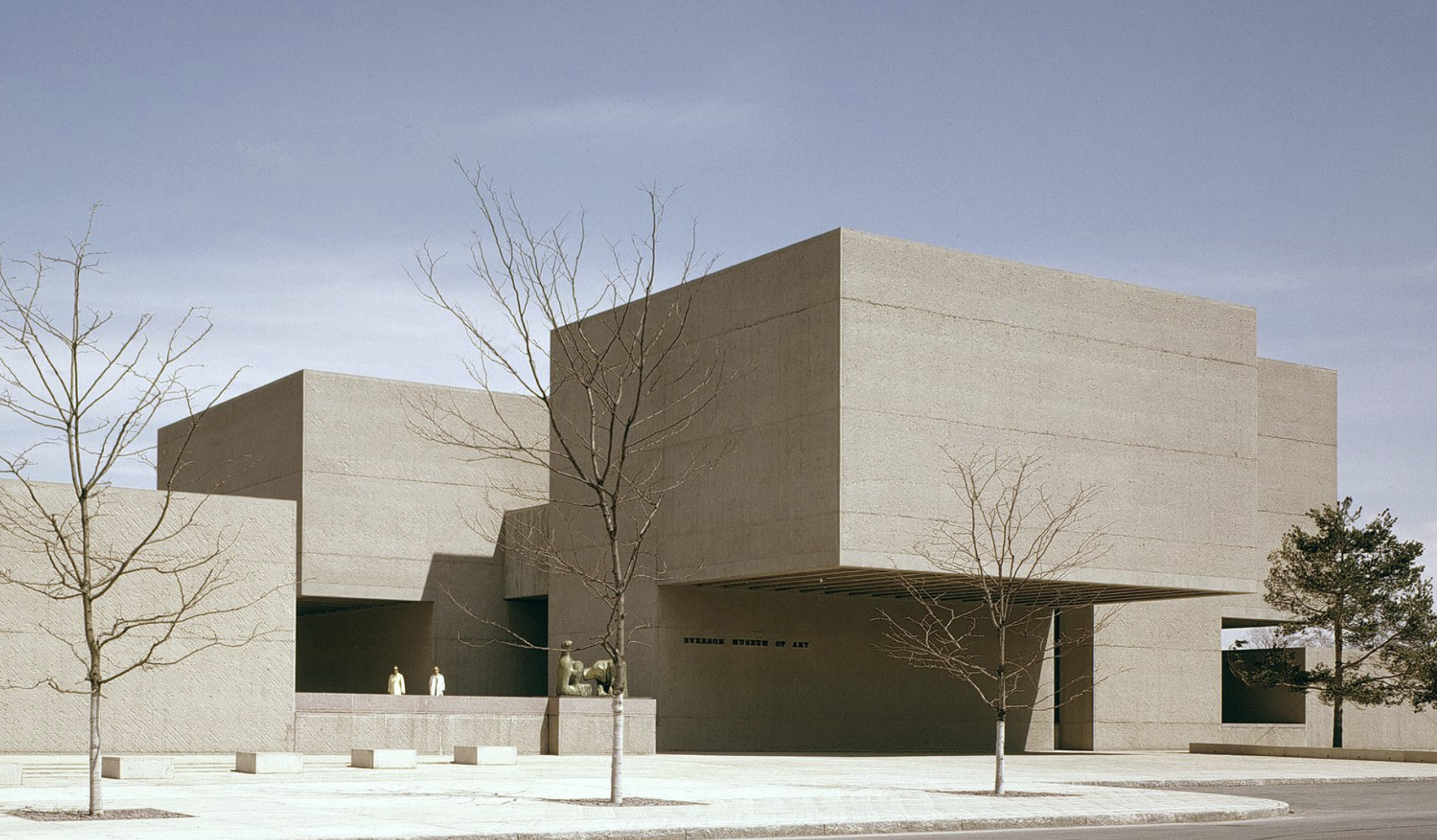
 Architecture

 Life and Style
 Companies


 Science and technology

 Universities in the USA

 Art
Art
 Geography
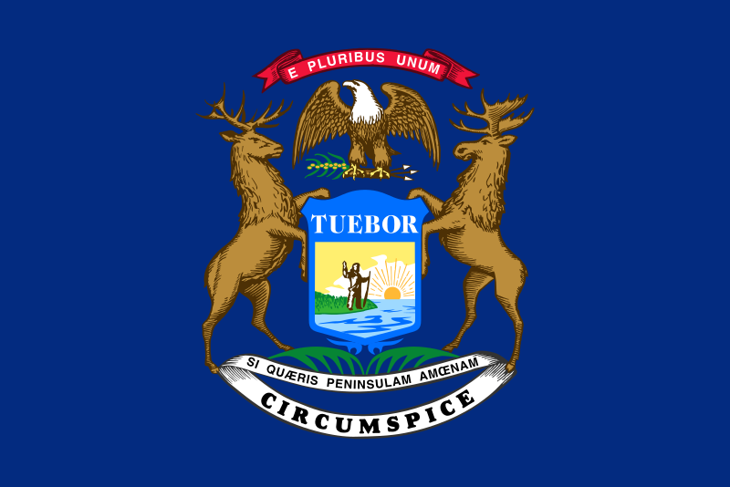 Michigan-MI
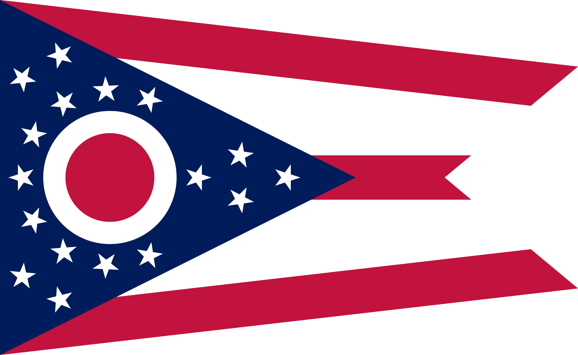 Ohio-OH
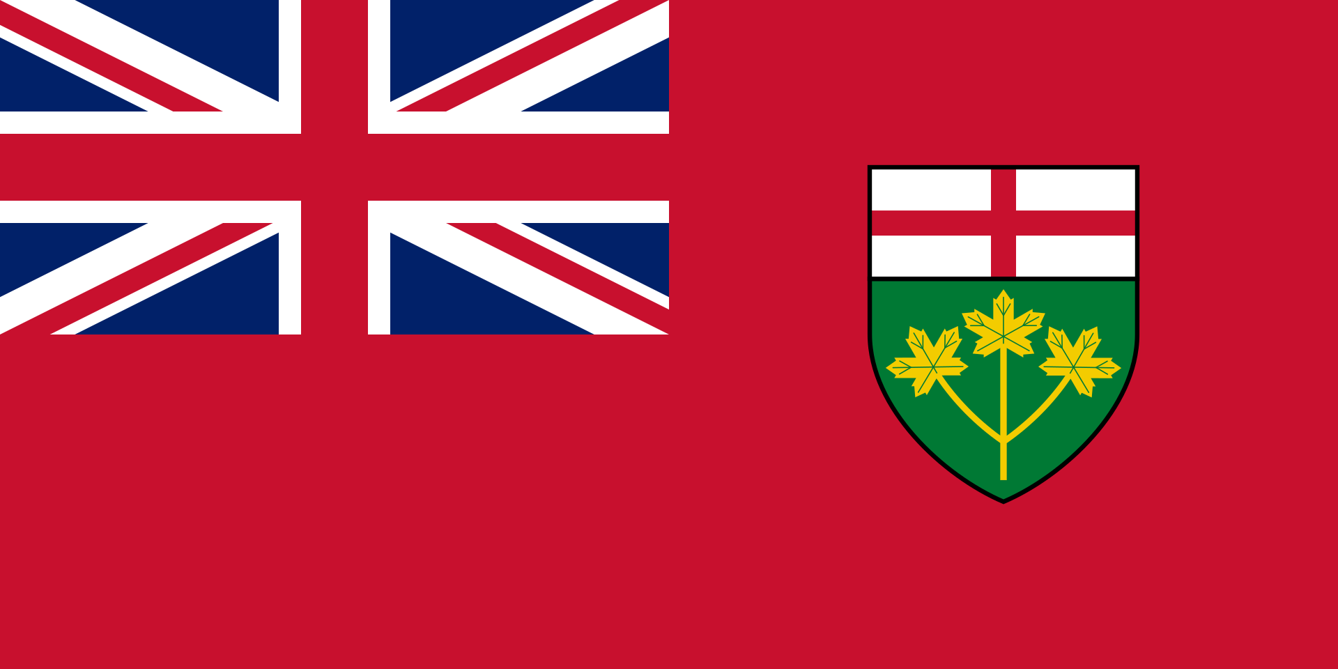 Ontario-ON
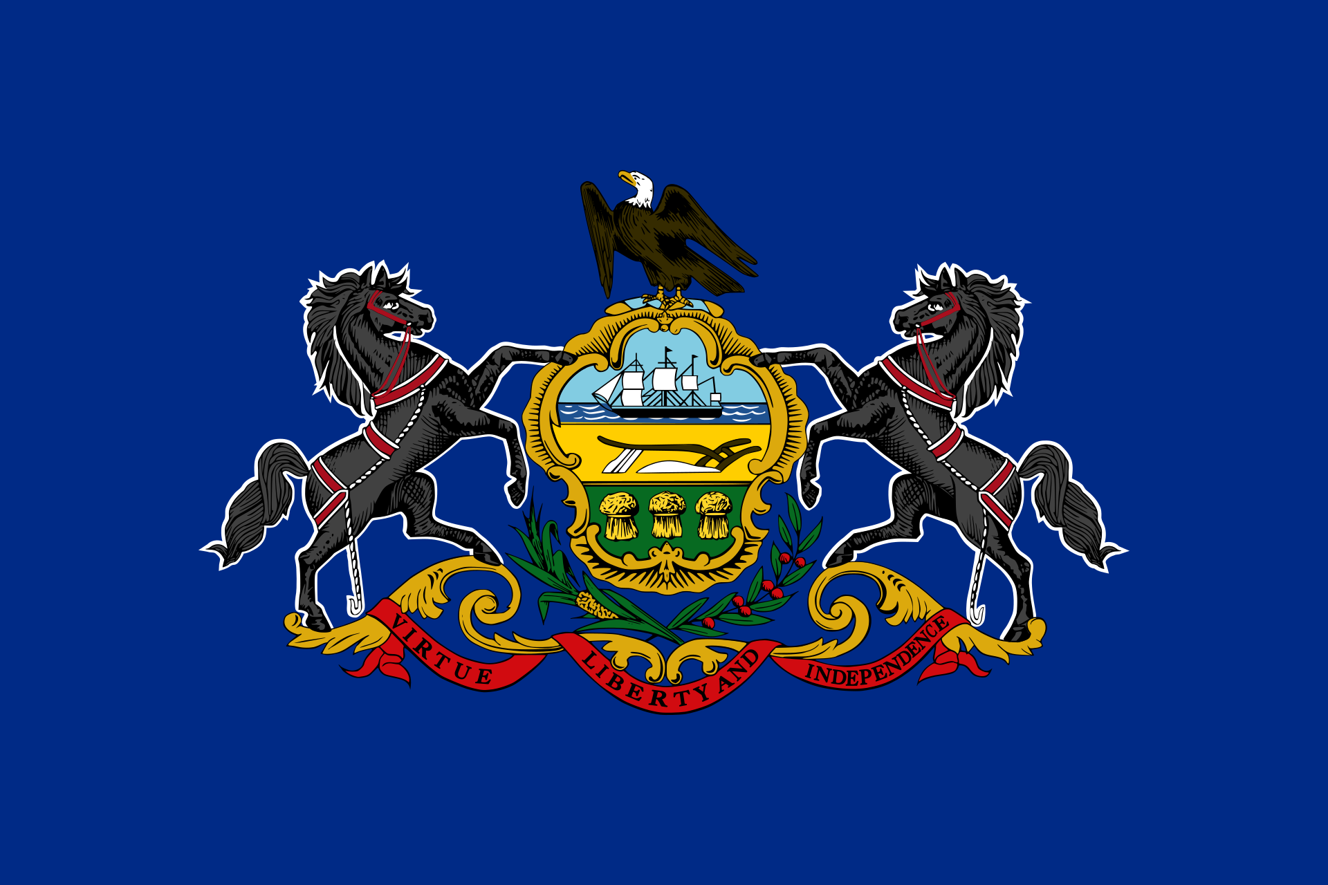 Pennsylvania-PA

Der See liegt auf durchschnittlich 174 m Höhe, seine Fläche beträgt 25.667 Quadratkilometer. Er ist 388 km lang und bis zu 92 km breit, die Küstenlinie beträgt 1402 km (inklusive Inseln). Der Eriesee ist der flachste der Großen Seen mit einer durchschnittlichen Wassertiefe von 19 m und einer Maximaltiefe von 64 m. Aufgrund seiner geringen Tiefe weist er auch die höchste Wassertemperatur auf. Das Einzugsgebiet umfasst eine Fläche von rund 58.790 km².[1] Der kanadische Seeanteil beträgt 12.722 km² und der US-amerikanische Seeanteil beträgt 12.945 km².
Hauptzufluss des Eriesees ist der vom Huronsee und Lake St. Clair her kommende Detroit River. Weitere bedeutende Zuflüsse sind Grand River (Eriesee, Ohio), Grand River (Eriesee, Ontario), Huron River (Eriesee, Michigan), Huron River (Ohio), Maumee River, Sandusky River und Cuyahoga River. Über den Niagara River mit den Niagarafällen ist er mit dem Ontariosee verbunden. Eine Schifffahrtsverbindung besteht über den Wellandkanal, der Teil des Sankt-Lorenz-Seewegs ist. Der Eriekanal war eine historische Schifffahrtsverbindung zum Hudson River, die zunächst im 19. Jahrhundert von großer wirtschaftlicher Bedeutung war und deren kommerzielle Nutzung dann aber in der zweiten Hälfte des 20. Jahrhunderts aufgegeben wurde.
Der Eriesee bildet einen Teil der Grenze zwischen Kanada und den Vereinigten Staaten. Im Norden liegt die kanadische Provinz Ontario, im Süden die US-Bundesstaaten Ohio, Pennsylvania und New York. Am Seeufer liegen die Städte Buffalo, Erie, Toledo und Cleveland. Im See liegen insgesamt 27 Inseln, von denen neun zu Ontario und die übrigen zu Ohio gehören. Middle Island ist der südlichste Punkt Kanadas, während der auf einer Halbinsel gelegene Point-Pelee-Nationalpark der südlichste Punkt des kanadischen Festlandes ist. Mit 42 km² Fläche ist die auf kanadischer Seite gelegene Pelee Island die größte Insel des Eriesees.
伊利湖(英語:Lake Erie)是北美洲五大湖之一,也是世界第十三大湖。伊利湖的名字来源于原在南岸定居的印地安伊利部落。 伊利湖的面积有24,000平方公里,平均深度19米,蓄水量483立方公里。底特律河(Detroit River)将休伦湖水导向这里,而尼亚加拉河(Niagara River)经尼亚加拉瀑布将湖水引入安大略湖。湖的南岸是美国的俄亥俄州、宾夕法尼亚州和纽约州,西岸是密歇根州,北岸是加拿大的安大略省。
エリー湖(エリーこ、英: Lake Erie [ˈɪəri]、仏: Lac Érié)は、北アメリカにある五大湖のうちの1つの湖。世界では13番目の面積をもつ淡水湖。英語の発音は「イャリー」に近い。25,821km2の面積を持ち、458km3の水を湛えている、平均の水深は18mと浅く、2.6年で水が循環する。
エリー湖に流れ込む主な川は、ヒューロン湖とセントクレア湖を源泉とするデトロイト川であり、流れ出た水はナイアガラ川とナイアガラの滝を経て、オンタリオ湖に流れ込む。エリー湖に流入、流出する他の主な川は、グランド川(Grand River)、レイスン川(River Raisin)、マウミー川(Maumee River)、カヤホガ川(Cuyahoga River)である。
Lake Erie is the fourth-largest lake (by surface area) of the five Great Lakes in North America, and the eleventh-largest globally if measured in terms of surface area.[6][10] It is the southernmost, shallowest, and smallest by volume of the Great Lakes[11][12] and therefore also has the shortest average water residence time. At its deepest point Lake Erie is 210 feet (64 metres) deep.
Situated on the International Boundary between Canada and the United States, Lake Erie's northern shore is the Canadian province of Ontario, specifically the Ontario Peninsula, with the U.S. states of Michigan, Ohio, Pennsylvania, and New York on its western, southern, and eastern shores. These jurisdictions divide the surface area of the lake with water boundaries.
The lake was named by the Erie people, a Native American people who lived along its southern shore. The tribal name "erie" is a shortened form of the Iroquoian word erielhonan, meaning long tail.[13]
Situated below Lake Huron, Erie's primary inlet is the Detroit River. The main natural outflow from the lake is via the Niagara River, which provides hydroelectric power to Canada and the U.S. as it spins huge turbines near Niagara Falls at Lewiston, New York and Queenston, Ontario.[14] Some outflow occurs via the Welland Canal, part of the St. Lawrence Seaway, which diverts water for ship passages from Port Colborne, Ontario on Lake Erie, to St. Catharines on Lake Ontario, an elevation difference of 326 ft (99 m). Lake Erie's environmental health has been an ongoing concern for decades, with issues such as overfishing, pollution, algae blooms, and eutrophication generating headlines.[15][16][17]
Le lac Érié est l'un des cinq Grands Lacs d'Amérique du Nord. Il est bordé à l'est par les États américains de l'Ohio, de Pennsylvanie, de New York au sud, du Michigan à l'ouest et de la province canadienne de l'Ontario au nord.
Le lac Érié est une dépression creusée par le passage des glaciers8, et il a pris sa forme actuelle il y a moins de 4 000 ans, ce qui est très récent en termes géologiques. Auparavant, le site avait connu une histoire géologique complexe : il y a plus de deux millions d'années, un fleuve s’écoulant vers l’est et préexistant aux glaciations du Pléistocène avait dessiné une large plaine alluviale. Cette vallée a été comblée au passage des premiers grands glaciers, qui ont aussi élargi et creusé la dépression, réceptacle qui est devenu un lac. Ces glaciers ont arraché davantage de sédiments sur l’extrémité orientale car le substrat y est fait de shale, roche plus tendre que les roches carbonatées (dolomite et craie) de la moitié occidentale. Ainsi, le centre et l’est du lac sont aujourd’hui plus profonds que la moitié occidentale (profondeur moyenne de 8,30 m), elle-même plus riche en coquillages et en poisson9. Le lac Érié est le moins profond des Grands Lacs car la banquise, moins épaisse, y a moins érodé la roche.
C'est la formation et le retrait de langues glaciaires successives qui a donné au lac son aspect actuel ; chaque recul a laissé un lac au cours de l’interglaciaire. Le pénultième de ces lacs, dit « Lac Warren », s’est maintenu entre 13 000 et 12 000 ans. Il était plus profond que l’actuel lac Érié, et ses berges débordaient de 13 km à l’extérieur du lac actuel. Les berges de ces lacs préhistoriques ont abandonné de grandes barrières de sable qui coupent les marécages et que les Indiens, puis les pionniers, ont empruntées pour traverser la région. Les pistes des nomades sont devenues des routes : ainsi l’U.S. Route 30 à l’ouest de Delphos et l’U.S. Route 20 à l’ouest de Norwalk et à l’est de Cleveland. On peut encore voir l'une de ces dunes dans la Région des Oak Openings dans le Nord-ouest de l'Ohio. À cet endroit, le fond sableux du lac asséché ne permettait pas la colonisation par d'autres essences que des chênes, ce qui a donné naissance à une savane de chêne10, dont on n'a que de rares exemples en Europe (Estramadure).
Il lago Erie (in inglese: Lake Erie; in italiano alle volte riportato erroneamente come Lago Eire[1]), è uno dei cinque maggiori laghi della zona dei Grandi Laghi nell'America settentrionale, che comprende alcuni dei più estesi laghi d'acqua dolce del mondo. Lo stesso lago Erie è il tredicesimo lago al mondo per superficie, anche contando laghi d'acqua salata come il mar Caspio ed il lago d'Aral. Esso copre circa 24 000 km² (all'incirca l'estensione della Sardegna) con una profondità media di 19 metri, per cui contiene "solo" 483 km cubi d'acqua (il più vasto dei Grandi Laghi, il Lago Superiore, ha un volume di oltre 12.000 km cubi).
El lago Erie es un lago de Canadá y Estados Unidos que forma parte de los Grandes Lagos. Se encuentra más al sur que los demás y limita al norte con la provincia canadiense de Ontario; al sur, con los estados estadounidenses de Ohio, Pensilvania y Nueva York; y, al oeste, con el estado de Míchigan.
El lago forma parte del sistema fluvial del río San Lorenzo, el colector de los Grandes Lagos (que estaría formado por la siguiente sucesión de ríos y lagos: río North → río Saint Louis → lago Superior → río St. Marys → lago Hurón → río Sainte-Claire → lago Sainte-Claire → río Detroit → lago Erie → río Niagara → lago Ontario → río San Lorenzo → estuario de San Lorenzo. El lago forma parte también de la vía navegable de los Grandes Lagos.
Э́ри (англ. Erie [ˈɪri], фр. Érié) — озеро в Канаде и США, четвёртое сверху в системе Великих озёр. Имея площадь 25 700 км², Эри занимает по этому параметру 11-е место среди озёр мира (считая Каспийское море) и 4-е место в США. Среди Великих озёр является четвёртым по величине и самым мелководным. Озеро омывает берега американских штатов Мичиган, Огайо, Пенсильвания и Нью-Йорк и канадской провинции Онтарио.
Впадают реки Детройт, Гранд, Рейзин, Гурон, Моми, Сандаски, Кайахога; вытекает река Ниагара. На берегу озера Эри находятся города Буффало, Эри, Толидо, Порт-Стенли, Монро, Кливленд. Топоним Эри происходит от названия племени эриелхонан (букв. «длинный хвост», название пумы).

 Music
Music

 Religion


 Medical, Pharmaceutical, Rehabilitation