
漢德百科全書 | 汉德百科全书
 Auvergne-Rhône-Alpes
 Aimé Jacquet

 Auvergne-Rhône-Alpes
 France
 Ligue 1
 Ligue 1 2015/16
 Ligue 1 2016/17
 Ligue 1 2017/18
 Ligue 1 2018/19

 Sport
Sport
 (F)UEFA Europa League
 UEFA Champions League 2015/16
 UEFA Champions League 2016/17
 Group H
 UEFA Champions League 2018/19
 Group F
 UEFA Champions League 2019/20
 Group G
 UEFA Europa League 2017/18
 Group E


 Alberta-AB
 Argentina
 Australia

 Auvergne-Rhône-Alpes

 Bavaria
 Beijing Shi-BJ

 Berlin
 Bosnia Herzegovina
 Brazil

 British Columbia-BC

 California-CA

 Cataluña
 China
China
 Chūbu
Chūbu
 Germany
 England
 France

 Georgia-GA
 Greece
 Hokkaidō

 Ile-de-France
 Italy
Italy
 Japan
Japan
 Jiangsu Sheng-JS
 Canada
 Kantō
Kantō

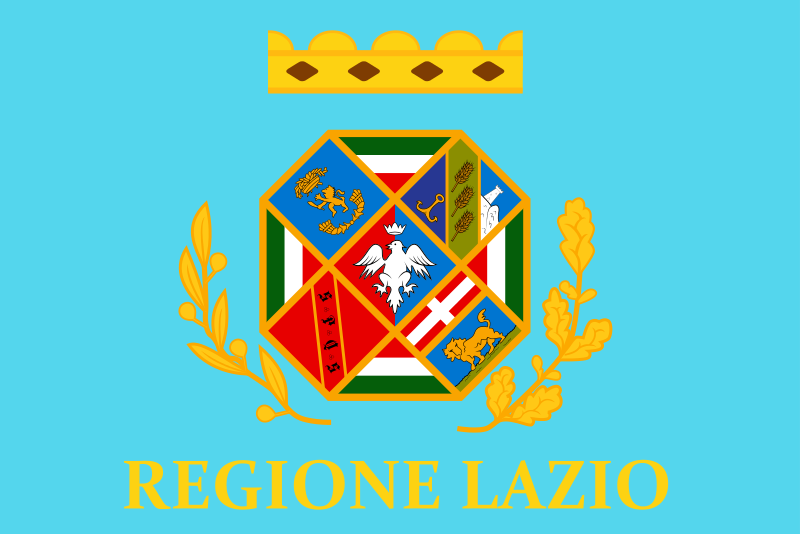 Lazio
Lazio

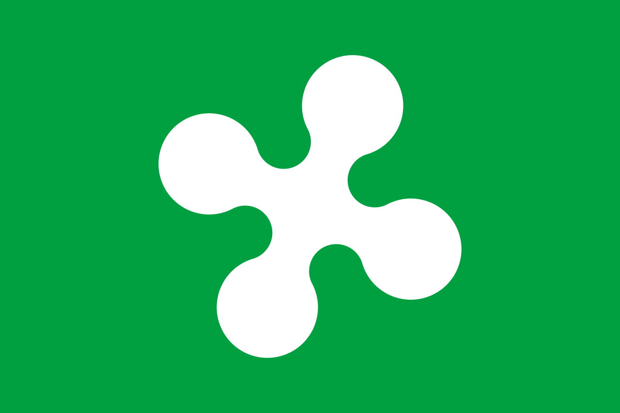 Lombardia
 Mexico

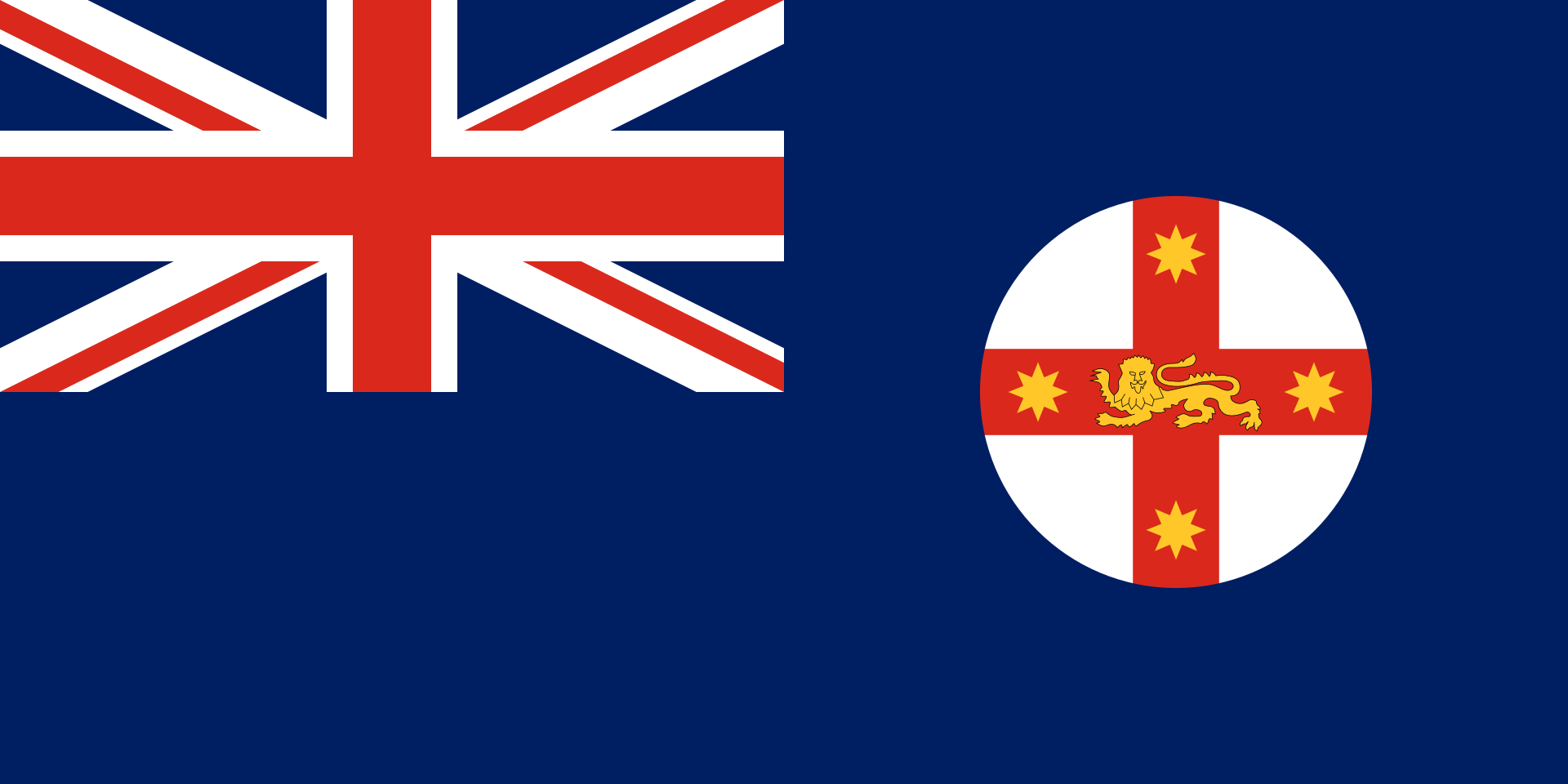 New South Wales-NSW

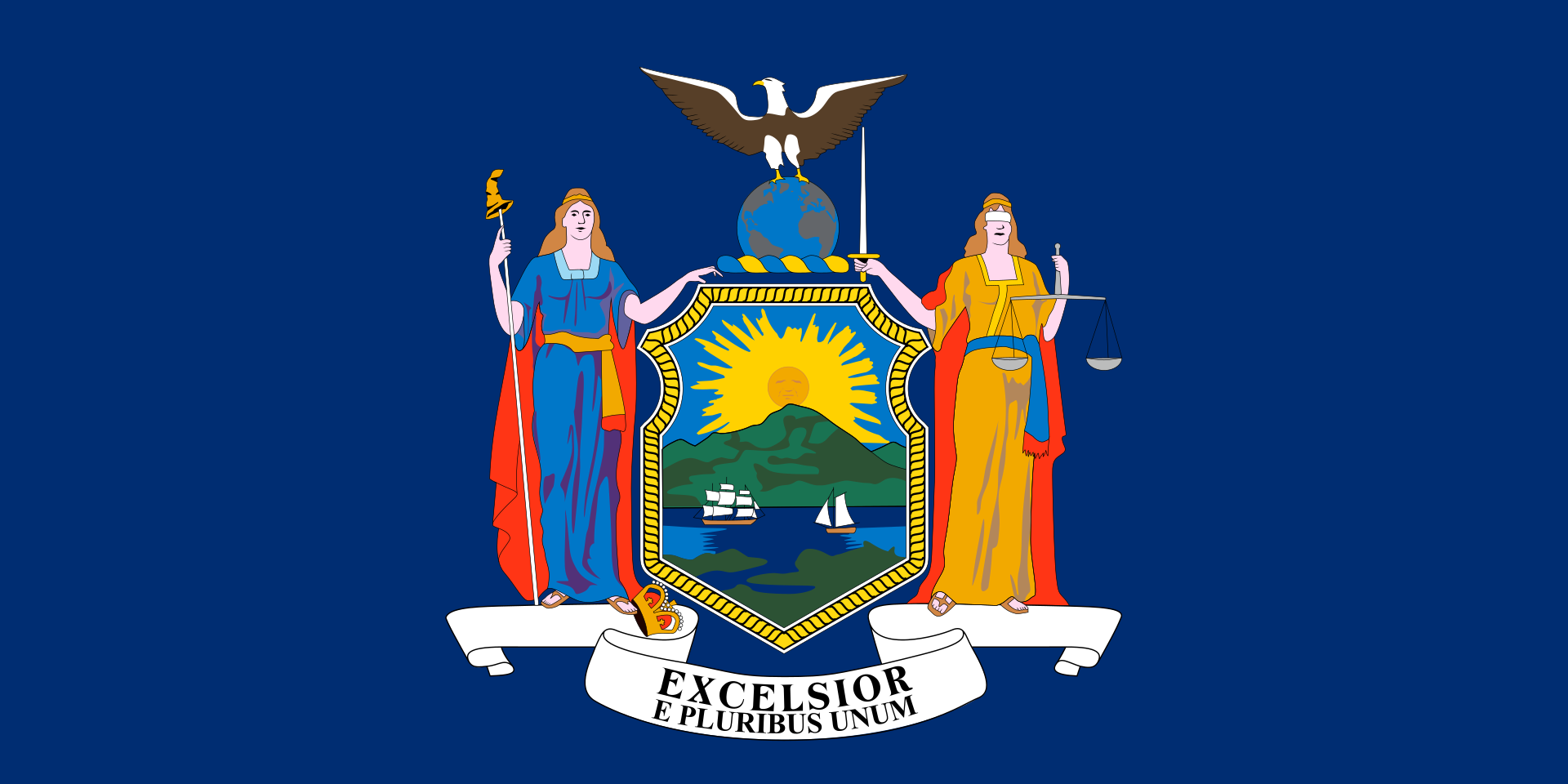 New York-NY
 Norwegen
 Austria

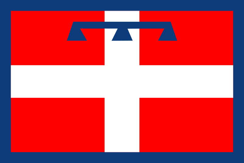 Piemonte

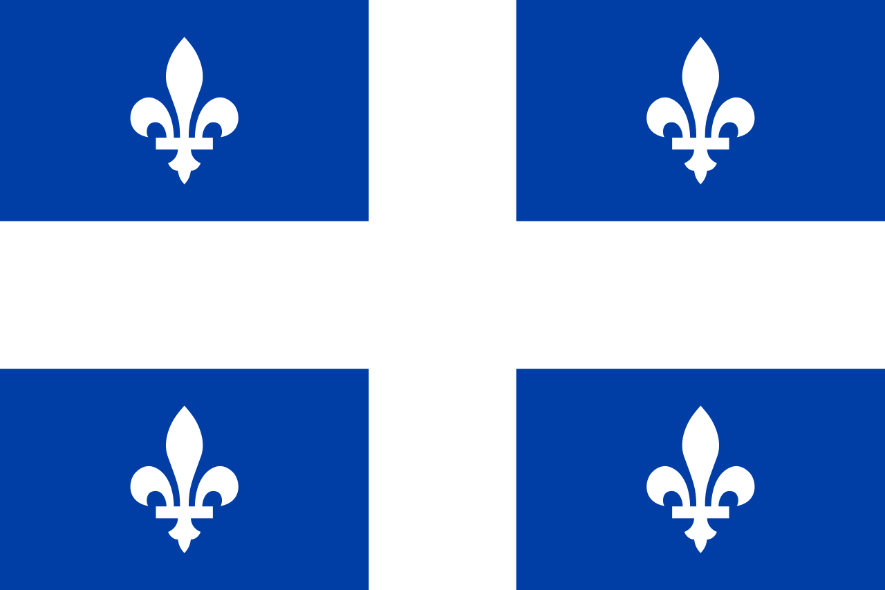 Quebec-QC

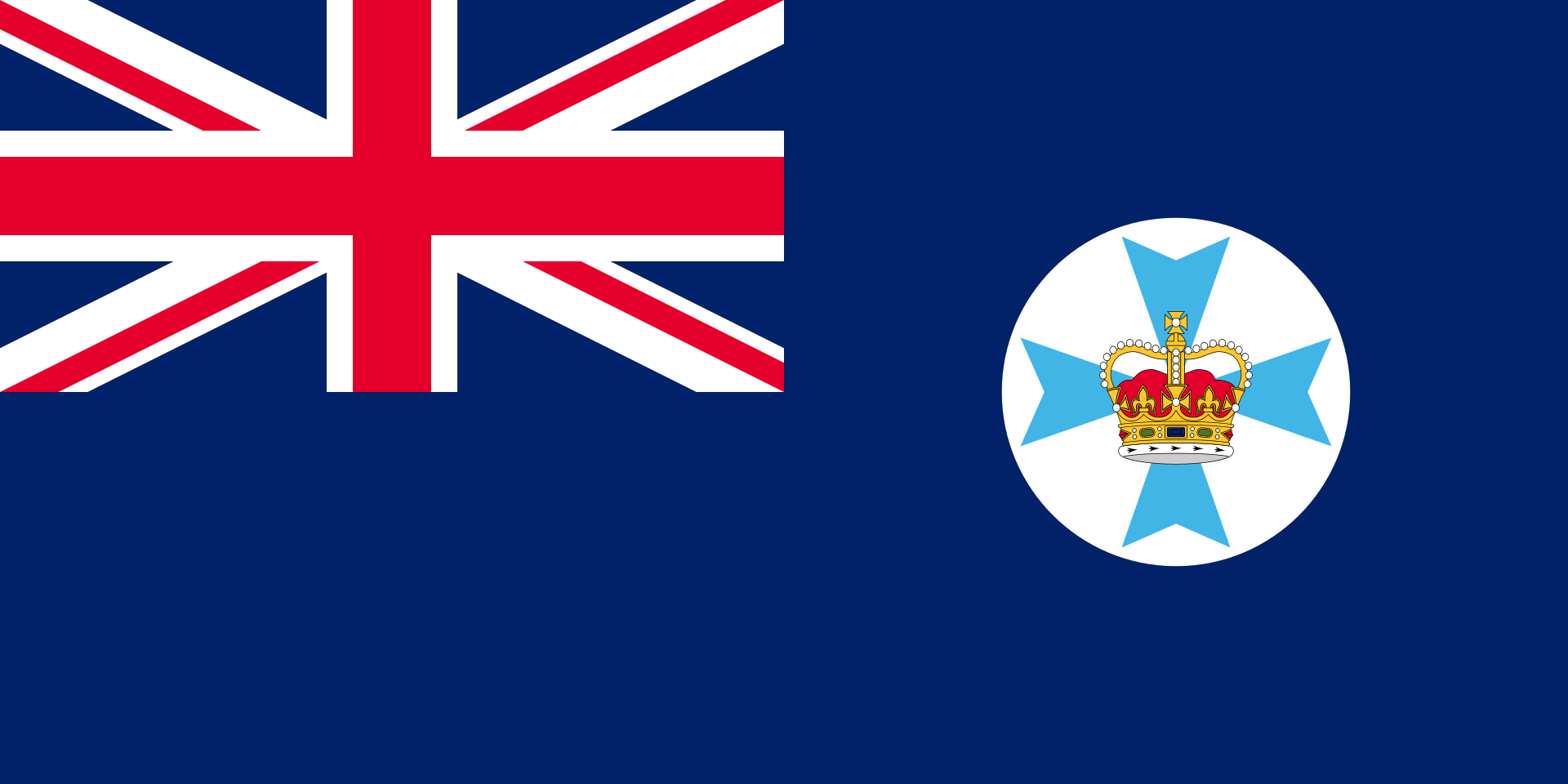 Queensland-QLD
 Republic of Korea
 Rio de Janeiro
 Russia
 Switzerland
 Senegal
 Singapore
 Spain
Spain

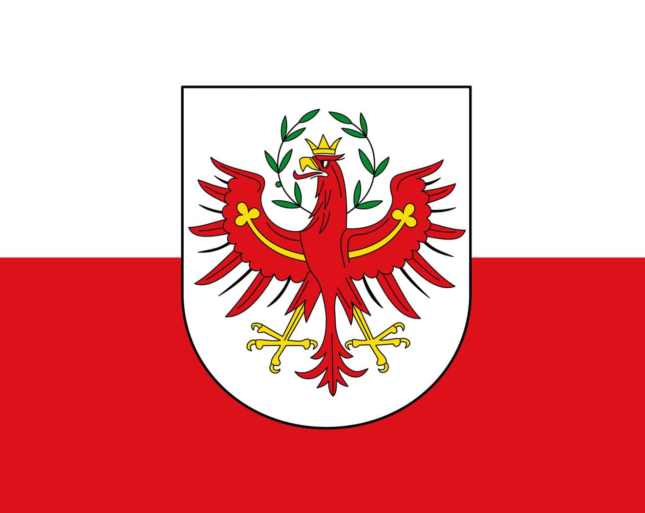 Tyrol
Tyrol

 Utah-UT
 United States
 United Kingdom

| 奥林匹克圣歌 | ||
|---|---|---|
| 希腊文歌词 | 英文歌词 | 中文歌词 |
| Αρχαίο Πνεύμ' αθάνατο, αγνέ πατέρα του ωραίου, του μεγάλου και τ'αληθινού, κατέβα, φανερώσου κι άστραψ'εδώ πέρα στην δόξα της δικής σου γης και τ'ουρανού. |
Immortal spirit of antiquity, Father of the true, beautiful and good, Descend, appear, shed over us thy light Upon this ground and under this sky Which has first witnessed thy unperishable fame. |
古代不朽之神, 美丽、伟大而正直的圣洁之父。 祈求降临尘世以彰显自己, 让受人瞩目的英雄在这大地苍穹之中, 作为你荣耀的见证。 |
| Στο δρόμο και στο πάλεμα και στο λιθάρι, στων ευγενών Αγώνων λάμψε την ορμή, και με τ' αμάραντο στεφάνωσε κλωνάρι και σιδερένιο πλάσε κι άξιο το κορμί. |
Give life and animation to those noble games! Throw wreaths of fadeless flowers to the victors In the race and in the strife! Create in our breasts, hearts of steel! |
请照亮跑步、角力与投掷项目, 这些全力以赴的崇高竞赛。 把用橄榄枝编成的花冠颁赠给优胜者, 塑造出钢铁般的躯干。 |
| Κάμποι, βουνά και θάλασσες φέγγουν μαζί σου σαν ένας λευκοπόρφυρος μέγας ναός, και τρέχει στο ναό εδώ, προσκυνητής σου, Αρχαίο Πνεύμ' αθάνατο, Kάθε λαός. |
In thy light, plains, mountains and seas Shine in a roseate hue and form a vast temple To which all nations throng to adore thee, Oh immortal spirit of antiquity! |
溪谷、山岳、海洋与你相映生辉, 犹如以色彩斑斓的岩石建成的神殿。 这巨大的神殿, 世界各地的人们都来膜拜, 啊!永远不朽的古代之神。 |
Die olympische Hymne (griechisch Ολυμπιακός Ύμνος Olympiakos Ymnos) gehört zu den olympischen Symbolen. Die Melodie stammt von dem Komponisten Spyros Samaras, der Text von Kostis Palamas und wurde eigens für die 1. Olympischen Spiele der Neuzeit 1896 in Athen geschrieben. Sie ist die einzige offizielle olympische Festmusik und Bestandteil aller wichtigen Ereignisse der olympischen Bewegung.
《奥林匹克圣歌》(又称《奥林匹克颂》;希腊语:Ολυμπιακός Ύμνος,法语:Hymne Olympique,英语:Olympic Hymn)是奥林匹克会歌(英语:Olympic Anthem),是合唱清唱套曲,1958年第54次国际奥委会全体会议上定为奥林匹克会歌。奥林匹克会歌由国际奥林匹克委员会的第一任主席泽麦特里乌斯·维凯拉斯亲自选择的;由希腊歌剧作曲家斯皮罗·萨马拉斯作曲、希腊作家兼诗人科斯蒂斯·帕拉马斯作词。

 Alberta-AB
 Australia

 Auvergne-Rhône-Alpes

 Bavaria
 Beijing Shi-BJ
 Belgium

 Berlin
 Bosnia Herzegovina
 Brazil

 British Columbia-BC

 California-CA

 Cataluña
 China
China
 Chūbu
Chūbu
 Germany
 England
 Finland
 France

 Georgia-GA
 Greece
 Hebei Sheng-HE
 Hokkaidō

 Ile-de-France
 Italy
Italy
 Japan
Japan
 Canada
 Kantō
Kantō

 Lazio
Lazio
 Mexico

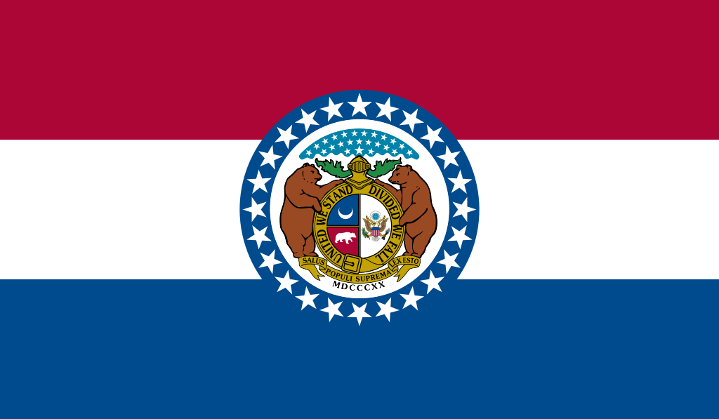 Missouri-MO

 New South Wales-NSW

 New York-NY
 Netherlands
 Norwegen
 2016 Summer Olympics
 2002 Winter Olympics
 2006 Winter Olympics
 2010 Winter Olympics
 2014 Winter Olympics
 2018 Winter Olympics
 2018 Winter Olympics
 2022 Winter Olympics
 Austria

 Piemonte

 Quebec-QC
 Republic of Korea
 Rio de Janeiro
 Russia

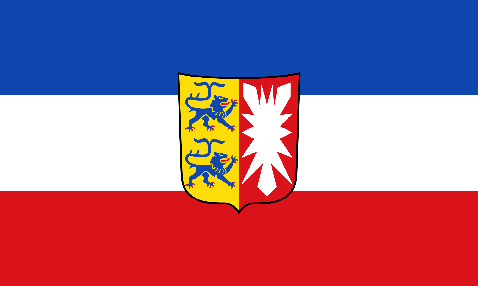 Schleswig-Holstein
 Sweden
 Switzerland
 Spain
Spain

 Sport
Sport

 Tyrol
Tyrol

 Utah-UT

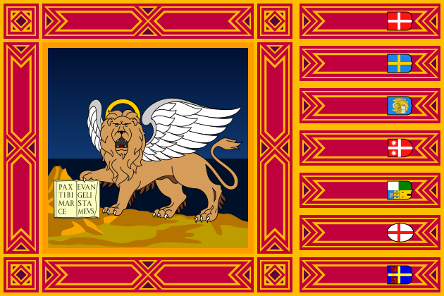 Veneto
 United States
 United Kingdom

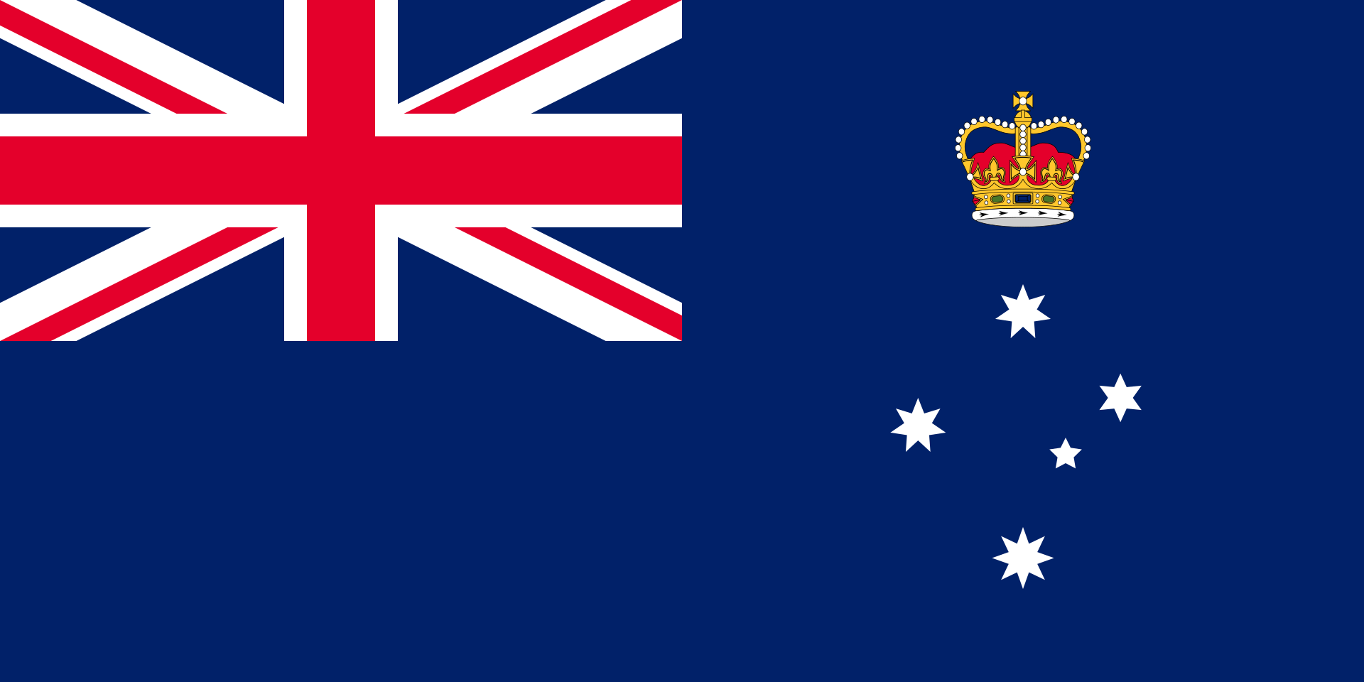 Victoria-VIC

奥林匹克圣火(英语:Olympic Flame)是奥林匹克运动会的标志。它在古代奥运会上燃烧以纪念古希腊神话中,普罗米修斯从宙斯手中偷来的火。从1928年开始,奥林匹克圣火又重新成为了奥运会的一部分。从1936年柏林奥运会开始出现了圣火传递。它有着传承火焰,生生不息的意义。
Das olympische Feuer ist ein Symbol der olympischen Bewegung. Es ist auch ein Symbol der Kontinuität zwischen den antiken und den modernen Spielen.[1] Das olympische Feuer wird einige Monate vor den Olympischen Spielen in Olympia, Griechenland, entzündet. Mit dieser Zeremonie beginnt der olympische Fackellauf, der offiziell mit dem Entzünden des olympischen Kessels während der Eröffnungsfeier der Olympischen Spiele endet. Die Flamme brennt dann während der gesamten Dauer der Spiele im Kessel weiter, bis sie bei der Abschlusszeremonie gelöscht wird.
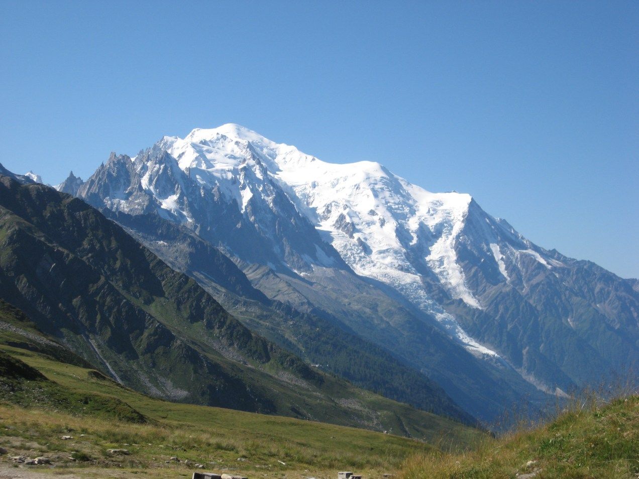
勃朗峰(法语:Mont Blanc,意大利语:Monte Bianco,意为“白色山峰”[1]),是阿尔卑斯山的最高峰,位于法国的上萨瓦省和意大利的瓦莱达奥斯塔大区的交界处。勃朗峰是西欧与欧盟境内的最高峰[2],海拔为4,808.73米[3][4]。勃朗峰于1786年8月8日首次被人类征服。勃朗峰有时也被称为“白色少女”(法语:La Dame blanche)或“白色山峰”(意大利语:Il Bianco)。
勃朗峰附近最有名的两个城镇是意大利瓦莱达奥斯塔大区的库马约尔与法国罗讷-阿尔卑斯大区上萨瓦省的霞慕尼(Chamonix),这里也是第一届冬季奥运会的举办地区。游客可以搭乘缆车上山,路线会经过库尔马耶乌尔与霞慕尼。
白山隧道于1957年开始建造,于1965年完成,连接着法国的霞慕尼及意大利的库马约尔,全长11.6公里,是穿越阿尔卑斯山主要的交通路线。
モンブラン(仏: Mont Blanc 伊: Monte Bianco)は、フランスとイタリアの国境に位置する、ヨーロッパアルプスの最高峰。標高4810.9m。ヨーロッパではロシアのエルブルス山に次ぎ高い山であり、西ヨーロッパでは最高峰である。
Mont Blanc (French: [mɔ̃ blɑ̃]; Italian: Monte Bianco [ˈmonte ˈbjaŋko]; meaning "White Mountain") is the second-highest mountain in Europe after Mount Elbrus. It is the highest mountain in the Alps, rising 4,808 m (15,774 ft) above sea level. It is the eleventh-most prominent peak in the world.[3] The mountain stands in a range called the Graian Alps, between the regions of Aosta Valley, Italy, and Savoie and Haute-Savoie, France. The location of the summit is on the watershed line between the valleys of Ferret and Veny in Italy and the valleys of Montjoie, and Arve in France, on the border between the two countries.
The Mont Blanc massif is popular for outdoor activities like hiking, climbing, trail running and winter sports like skiing, and snowboarding. The most popular route is the Goûter Route, which typically takes two days.
The three towns and their communes which surround Mont Blanc are Courmayeur in Aosta Valley, Italy; and Saint-Gervais-les-Bains and Chamonix in Haute-Savoie, France. The latter town was the site of the first Winter Olympics. A cable car ascends and crosses the mountain range from Courmayeur to Chamonix, through the Col du Géant. The 11.6 km (7 1⁄4-mile) Mont Blanc Tunnel, constructed between 1957 and 1965, runs beneath the mountain and is a major trans-Alpine transport route.
Le mont Blanc (en italien : Monte Bianco), dans le massif du Mont-Blanc, est le point culminant de la chaîne des Alpes. Avec une altitude de 4 809 mètres, il est le plus haut sommet d'Europe occidentale et le sixième sur le plan continental en prenant en compte les montagnes du Caucase, dont l'Elbrouz (5 642 mètres) est le plus haut sommet. Il se situe sur la frontière franco-italienne, entre le département de la Haute-Savoie (en France) et la Vallée d'Aoste (en Italie) ; cette frontière est l'objet d'un litige entre les deux pays.
Le sommet, objet de fascination dans de nombreuses œuvres culturelles, a depuis plusieurs siècles représenté un objectif pour toutes sortes d'aventuriers, depuis sa première ascension en 1786. De nombreux itinéraires fréquentés permettent désormais de le gravir avec une préparation sérieuse. Afin de déterminer son altitude précise et quantifier l'évolution de celle-ci, des géomètres experts font l'ascension périodiquement. La dernière mesure connue (2017) est de 4 808,72 mètres.
Il Monte Bianco (Mont Blanc in francese e in arpitano) è la montagna più alta delle Alpi, d'Italia, di Francia, con i suoi 4.808,72 m di altitudine (ultima misura ufficiale il 13 settembre 2017)[1], e secondo alcune convenzioni, dell'Europa[2][3], da cui il soprannome, a volte usato, di Re delle Alpi[4], condividendo assieme al monte Elbrus nel Caucaso un posto tra le cosiddette Sette Vette del Pianeta.
Posta nel settore delle Alpi Nord-occidentali, lungo la sezione alpina delle Alpi Graie, sulla linea spartiacque tra la Valle d'Aosta (val Veny e val Ferret in Italia) e l'Alta Savoia (valle dell'Arve in Francia), nei territori comunali di Courmayeur[5] e Chamonix, dà il nome all'omonimo massiccio, appartenente alla sottosezione delle Alpi del Monte Bianco. Prevalentemente di natura granitica, irta di guglie e di creste, intagliata da profondi valloni nei quali scorrono numerosi ghiacciai, è considerata una montagna di grande richiamo per l'alpinismo internazionale[6] e, dal punto di vista della storiografia alpinistica, la nascita dell'alpinismo stesso coincide con la data della sua prima ascensione: l'8 agosto 1786[7].
El Mont Blanc o Monte Bianco —orónimo en francés e italiano, respectivamente; traducido al español como ‘Monte Blanco’— es la montaña granítica culminante de los Alpes, con una altitud oficial de 4810 m s. n. m. (metros sobre el nivel del mar) según la última medición de septiembre de 2013.1 Es el punto más elevado de la Unión Europea y uno de los más altos del resto de Europa, superado solo por varias montañas de Rusia y Georgia como el Elbrús (5642 m s. n. m.).3
Rodeado de valles con numerosos glaciares, el Mont Blanc forma parte del macizo homónimo que se extiende entre las demarcaciones del valle de Aosta, en Italia, y de Alta Saboya, en Francia. Las ciudades más pobladas cercanas al Mont Blanc son Chamonix-Mont-Blanc y Saint-Gervais-les-Bains, situadas en Francia, y Courmayeur en Italia.45
La situación de la cima es compartida entre Italia y Francia por un tratado internacional de 1860, aunque desde entonces se mantiene cierta controversia y diferentes fuentes cartográficas atribuyen enteramente la ubicación a uno de los dos países. Así, los mapas del Instituto Geográfico Nacional de Francia incluyen toda la cumbre dentro de las propias fronteras, lo que contrasta con el mapa geográfico del Archivo de Estado de Turín, según el cual la cima es íntegramente italiana.6
Numerosos glaciares se encuentran a su alrededor: al sur los glaciares de Freney, de La Brenva, de Miage, del Mont Blanc y de Brouillard, y al norte, los glaciares de Bossons y de Taconnaz. En 1957 se inició la construcción del túnel de Mont Blanc (se terminó en 1965), que tiene 11,6 km de largo y es una de las mayores rutas de transporte transalpino, ya que une a Italia y Francia.7 El macizo del Mont Blanc es la cuna del alpinismo, cuyas expediciones empezaron hacia el siglo xviii, siendo un destino de referencia en Europa para la práctica del senderismo, el esquí y el snowboarding.
Монбла́н (фр. Mont Blanc, итал. Monte Bianco, букв. «белая гора») — кристаллический массив, высота которого достигает 4810 м (самая высокая точка Европы при условии проведения границы Европы и Азии по северной границе Кавказа). Расположен в Западных Альпах, входящих в горную систему Альпы. Находится на границе Франции и Италии в районах Верхняя Савойя и Курмайор. Высшая точка Альп и Европы, без учёта кавказских пиков. Протяжённость — около 50 км. Площадь оледенения свыше 200 км², крупный ледник Мер-де-Глас. Центр альпинизма, а также горного туризма — вокруг Монблана проходит популярный в Европе пеший туристический маршрут Tour du Mont Blanc.
Под Монбланом проложен автомобильный тоннель длиной в 11,6 км, соединяющий Францию и Италию. Проезд через тоннель платный. Стоимость проезда зависит от стороны въезда, типа транспортного средства и количества поездок.
У западного подножья Монблана, на французской стороне расположен известный горнолыжный курорт Шамони. У южного, на итальянской стороне — Курмайор.

Das nördlich der Stadt Lyon gelegene Weinbaugebiet Beaujolais ist geographisch zwar ein Teil von Burgund, bildet aber aufgrund der deutlich anderen Charakteristik der Weine eine eigene Weinbauregion. Der Rotwein wird aus der Rebsorte Gamay gekeltert, die in Burgund für gehobene Qualitäten nicht zugelassen ist. Seinen Namen trägt das Beaujolais nach der Herrschaft Beaujeu, heutiges Zentrum des Gebietes ist jedoch Villefranche-sur-Saône. Administrativ gehört das Beaujolais zum Département Rhône und damit zur Region Auvergne-Rhône-Alpes.
里昂市北部的博若莱葡萄酒产区在地理上属于勃艮第的一部分,但由于葡萄酒的特点截然不同,因此形成了自己的葡萄酒产区。红葡萄酒采用佳美葡萄品种酿造,而勃艮第并未授权使用佳美葡萄酿造高品质葡萄酒。博若莱的名称来源于博若领主,但目前该地区的中心是索恩河畔维尔弗朗什。博若莱在行政上属于罗讷省,因此也属于奥弗涅-罗讷-阿尔卑斯大区。

 Egypt
Egypt
 Algeria

 Andalusia
 Argentina


 Automobile
 MINI
MINI


 Automobile
 PEUGEOT


 Automobile
 Volkeswagen


 Automobile
 Kamaz
Kamaz


 Automobile
 IVECO
IVECO


 Automobile
 MAN
MAN


 Automobile
 Mitsubishi


 Automobile
 Tatra
Tatra


 Automobile
 Hino
Hino


 Automobile
 Citroën


 Automobile
 Porsche


 Automobile
 DAF
DAF


 Automobile
 Mercedes


 Automobile
 Renault


 Automobile
 Land Rover

 Auvergne-Rhône-Alpes
 Bolivia

 Cataluña
 Chile
Chile
 France

 Hauts-de-France

 Ile-de-France
 Libya
Libya

 Madrid
 Niger
Niger
 Portugal

 Provence-Alpes-Côte d´Azur
 Senegal
 Spain
Spain

 Sport
Sport
 South Africa
 Tunisia

Die Rallye Dakar (früherer Name Rallye Paris–Dakar) ist ein Rallye-Raid-Wettbewerb, der als die bedeutendste Langstrecken- und Wüstenrallye der Welt gilt. Sie wurde von 1978 bis 2007 einmal jährlich hauptsächlich auf dem afrikanischen Kontinent ausgetragen. Im Jahr 2008 wurde die Rallye Dakar aufgrund einer Terrordrohung abgesagt. Seit 2009 findet sie aus Sicherheitsgründen auf dem südamerikanischen Kontinent statt.
2016 fand die 38. Auflage vom 2. bis 16. Januar in Argentinien und Bolivien statt. Neben einem Prolog von Buenos Aires nach Rosario wurden 13 Etappen und 9246 km Strecke gefahren, 4792 km flossen in die Wertung ein. Aufgrund des Naturphänomens El Niño verzichtete man auf Strecken in Peru.[1]


 Alsace

 Auvergne-Rhône-Alpes
 Bourgogne

 Bourgogne-Franche-Comté

 Bretagne

 Centre-Val de Loire
 Champagne-Ardenne
 Franche-Comté
 France

 Grand Est

 Hauts-de-France

 Ile-de-France
 Lorraine
 Nord-Pas-de-Calais

 Normandie

 Normandie

 Normandie

 Nouvelle-Aquitaine

 Occitania

 Pays-de-la-Loire
 Picardie

 Provence-Alpes-Côte d´Azur
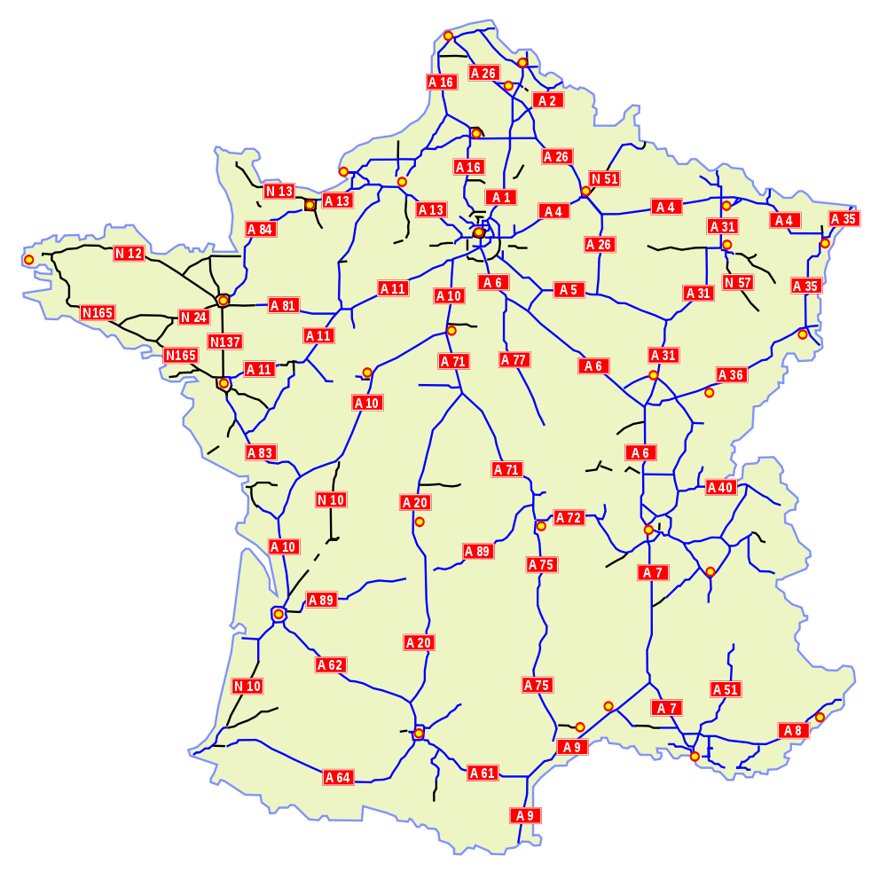

 Auvergne-Rhône-Alpes

 Bourgogne-Franche-Comté

 Bretagne

 Centre-Val de Loire

 Corse
Corse
 France

 Grand Est

 Hauts-de-France

 Ile-de-France

 Normandie

 Normandie

 Normandie

 Nouvelle-Aquitaine

 Occitania

 2024 Summer Olympics

 Pays-de-la-Loire

 Provence-Alpes-Côte d´Azur

 Transport and traffic
 High speed traffic

 *National Parks of France

 Auvergne-Rhône-Alpes

 Bourgogne-Franche-Comté

 Bretagne

 Centre-Val de Loire

 Corse
Corse
 DOM
DOM
 France

 Geography

 Grand Est

 Hauts-de-France

 Ile-de-France
 Nord-Pas-de-Calais

 Normandie

 Nouvelle-Aquitaine

 Occitania

 Pays-de-la-Loire

 Provence-Alpes-Côte d´Azur
 History
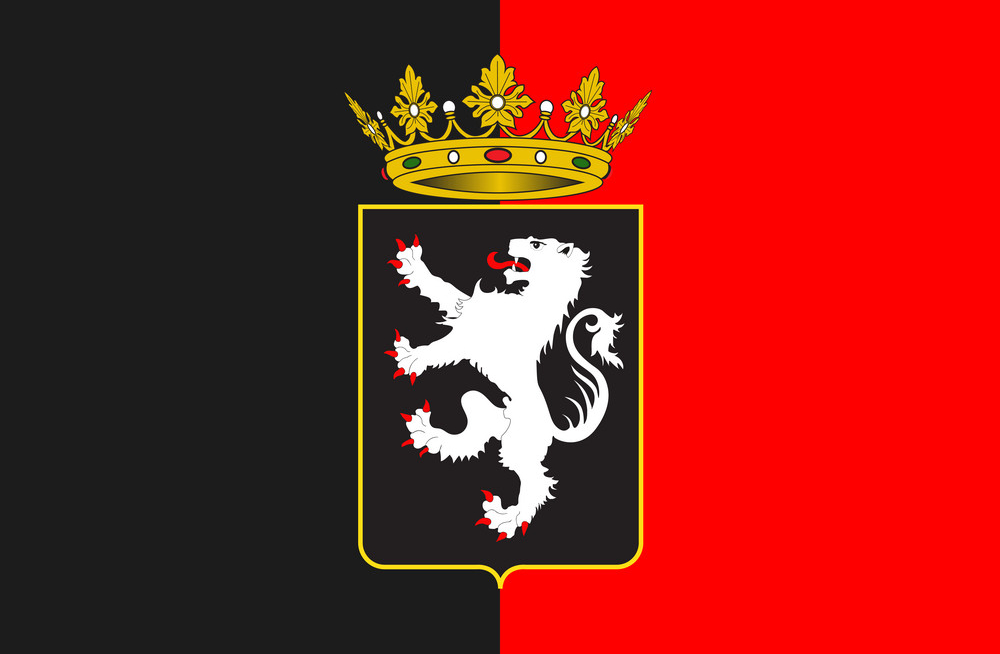 Valle d´Aosta
 Eat and Drink
 International cities
 Motorsport
 Architecture
 Religion
 Science and technology
 Animal world