Deutsch-Chinesische Enzyklopädie, 德汉百科

       
German — Chinese
Catalog Geography

邕江
This image, video or audio may be copyrighted. It is used for educational purposes only. If you find it, please notify us byand we will remove it immediately.
甬江
甬江,古称大浃江,中国东海独流入海河流,浙江省八大水系之一,因宁波简称为甬,故名甬江。 从姚江源至镇海入海口全长133公里;从奉化江源至入海口长118.7公里,流域面积4518平方公里。上游源头有姚江、奉化江两支,以奉华江为正源,发源于四明山东麓的秀尖山;以姚江为正源,发源于四明山夏家岭东北眠岗山西坡;流经奉化市、鄞州区和海曙区、江东区,在宁波市三江口与奉化江、姚江汇合成甬江,并于宁波镇海口流入东海。 甬江本干即姚江、奉化江汇合于宁波市区三江口后至镇海大小游山出口段,全长26公里,流域面积361平方公里。
http://www.net4info.de/photos/cpg/albums/userpics/10002/Yong20Jiang20.jpg
This image, video or audio may be copyrighted. It is used for educational purposes only. If you find it, please notify us byand we will remove it immediately.
永定河
永定河(满语:ᡝᠨ᠋ᡨᡝ᠋ᡥᡝᠮᡝ ᡨ᠋ᠣᡴ᠋ᡨ᠋ᠣᡥᠣ ᠪᡳᡵᠠ,穆麟德转写:Enteheme Toktoho bira),古称㶟水,隋代称桑干河,金代称卢沟,元代称浑河,旧名无定河,海河流域七大水系之一,是河北系的最大河流。流域面积47,016平方千米,其中山区面积45,063平方千米,平原面积1,953平方千米。永定河全长747公里,流经内蒙古、山西、河北三省区、北京、天津两个直辖市、共43个县市。全流域面积4.7万平方公里。

Der Yongding He (chinesisch 永定河, Pinyin Yǒngdìng HéW.-G. Yung-ting Ho) ist der größte Fluss in Peking und der größte Nebenfluss des Hai He in China.

Seine Gesamtlänge beträgt 650 km. Er entspringt im Gebirge Guancen Shan 管涔山 im Kreis Ningwu 宁武县 im Norden der Provinz Shanxi, fließt durch die Innere MongoleiHebei sowie die Gebiete der regierungsunmittelbaren Städte Peking und Tianjin.

Zu seinem Flussnetz gehören die Flüsse Sanggan He 桑干河, Yang He 洋河, Qingshui He 清水河 (Zhangjiakou) und Shuiding Xinhe 永定新河.

永定河满语:ᡝᠨ᠋ᡨᡝ᠋ᡥᡝᠮᡝ
ᡨ᠋ᠣᡴ᠋ᡨ᠋ᠣᡥᠣ
ᠪᡳᡵᠠ,穆麟德转写Enteheme Toktoho bira),古称㶟水,隋代称桑干河,金代称卢沟,元代称浑河,旧名无定河海河流域七大水系之一,是河北系的最大河流。流域面积47,016平方千米,其中山区面积45,063平方千米,平原面积1,953平方千米。永定河全长747公里,流经内蒙古山西河北三省区、北京天津两个直辖市、共43个县市。全流域面积4.7万平方公里。

永定河上游的桑干河洋河两大支流,在河北省怀来县朱官屯汇合,以下的河段称永定河,在延庆区汇入妫水河,经官厅水库流入官厅山峡(官厅水库至三家店区间)。从官厅至朱官屯河长30公里,官厅山峡河长108.7千米,至门头沟三家店流入平原。从三家店以下至天津的入海口,河道全长大约200公里。根据水利系统人们将永定河分为三家店至卢沟桥、卢沟桥至梁各庄、永定河泛区和永定新河四段。

永定河因为经常泛滥更改河道,得名“无定河”。康熙帝改名“永定河”。

永定河在北京南部一段因为长有大量芦苇,因此被称为“芦沟”。河上有著名石桥芦沟桥,也称永定桥。后因河水泛滥芦苇消失。

This image, video or audio may be copyrighted. It is used for educational purposes only. If you find it, please notify us byand we will remove it immediately.
永兴岛

This image, video or audio may be copyrighted. It is used for educational purposes only. If you find it, please notify us byand we will remove it immediately.
约讷河
 
/assets/contentimages/Yonne.jpg
 
This image, video or audio may be copyrighted. It is used for educational purposes only. If you find it, please notify us byand we will remove it immediately.
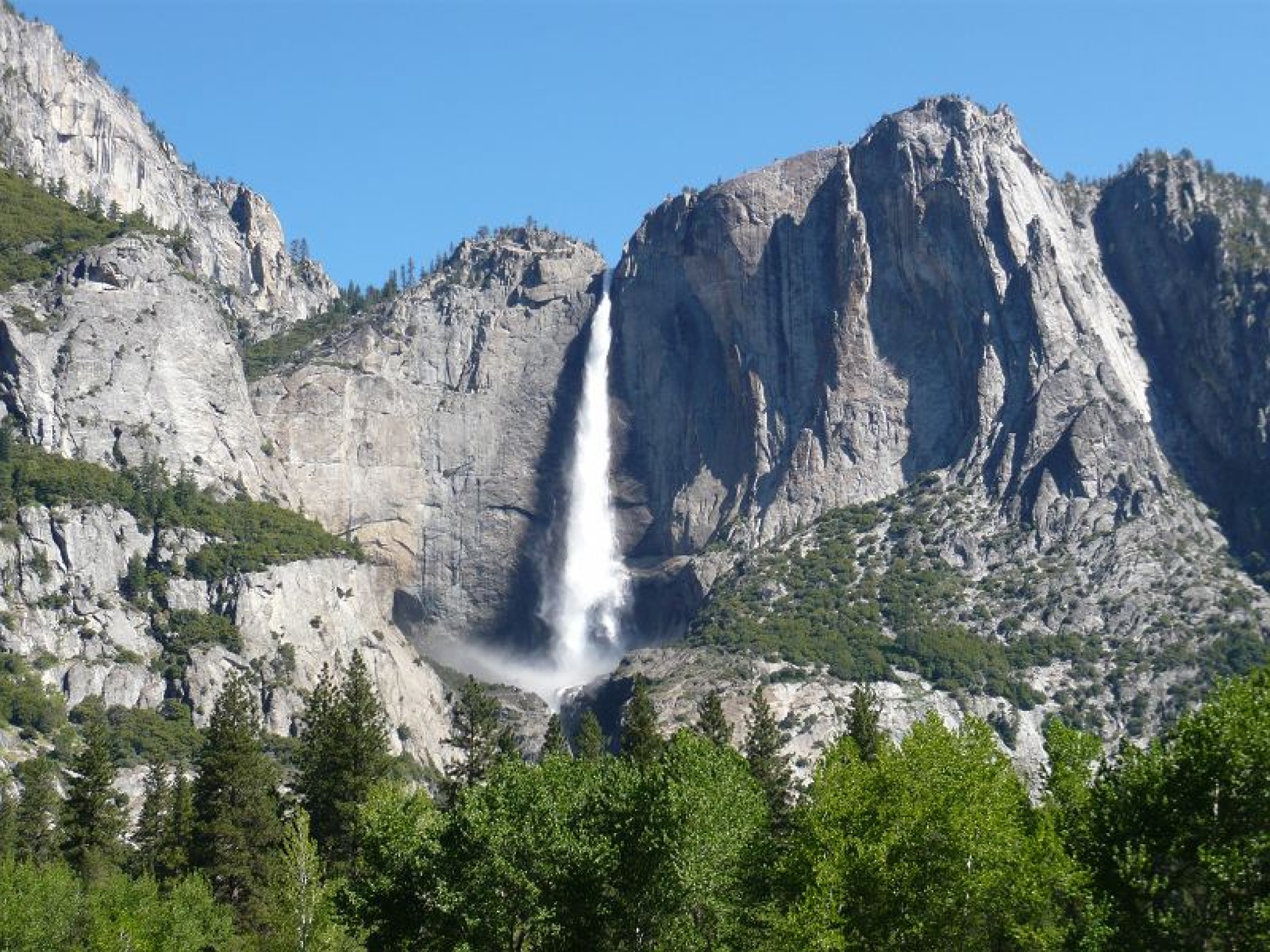
优胜美地瀑布
约塞米蒂瀑布,亦译幽思美地瀑布、优胜美地瀑布。约塞米蒂瀑布全高为739公尺(2425尺),一共可分为三段,瀑布的落差距离排名世界第六,虽然在外观看来仅有上优胜美地瀑布与下优胜美地瀑布两段,但事实上包括了中间的落差地带,这三段分别是:上优胜美地瀑布、湍流区、下优胜美地瀑布。
This image, video or audio may be copyrighted. It is used for educational purposes only. If you find it, please notify us byand we will remove it immediately.
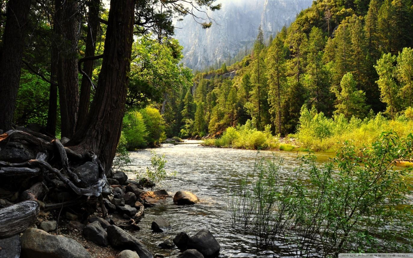
约塞米蒂国家公园
/assets/contentimages/Yosemite-Nationalpark.jpg
This image, video or audio may be copyrighted. It is used for educational purposes only. If you find it, please notify us byand we will remove it immediately.
沅江
http://www.net4info.de/photos/cpg/albums/userpics/10002/Yuan20_Jiang20.jpg
沅水沅江)是流经中国贵州省湖南省河流,属于洞庭湖水系。支流还流经重庆市湖北省。沅水是湖南省的第二大河流,干流全长1033公里(湖南568千米),流域面积89163平方千米,其中位于湖南省51066平方千米,多年平均径流量393.3亿立方米。
This image, video or audio may be copyrighted. It is used for educational purposes only. If you find it, please notify us byand we will remove it immediately.
尤卡坦海峡/Canal de Yucatán

This image, video or audio may be copyrighted. It is used for educational purposes only. If you find it, please notify us byand we will remove it immediately.
月亮山
http://www.net4info.de/photos/cpg/albums/userpics/10002/Gui20Zhou20Yue20Liang20Shan20.jpg
This image, video or audio may be copyrighted. It is used for educational purposes only. If you find it, please notify us byand we will remove it immediately.
玉龙雪山

 /assets/contentimages/Yu20Long20Xue20Shan20~0.jpg

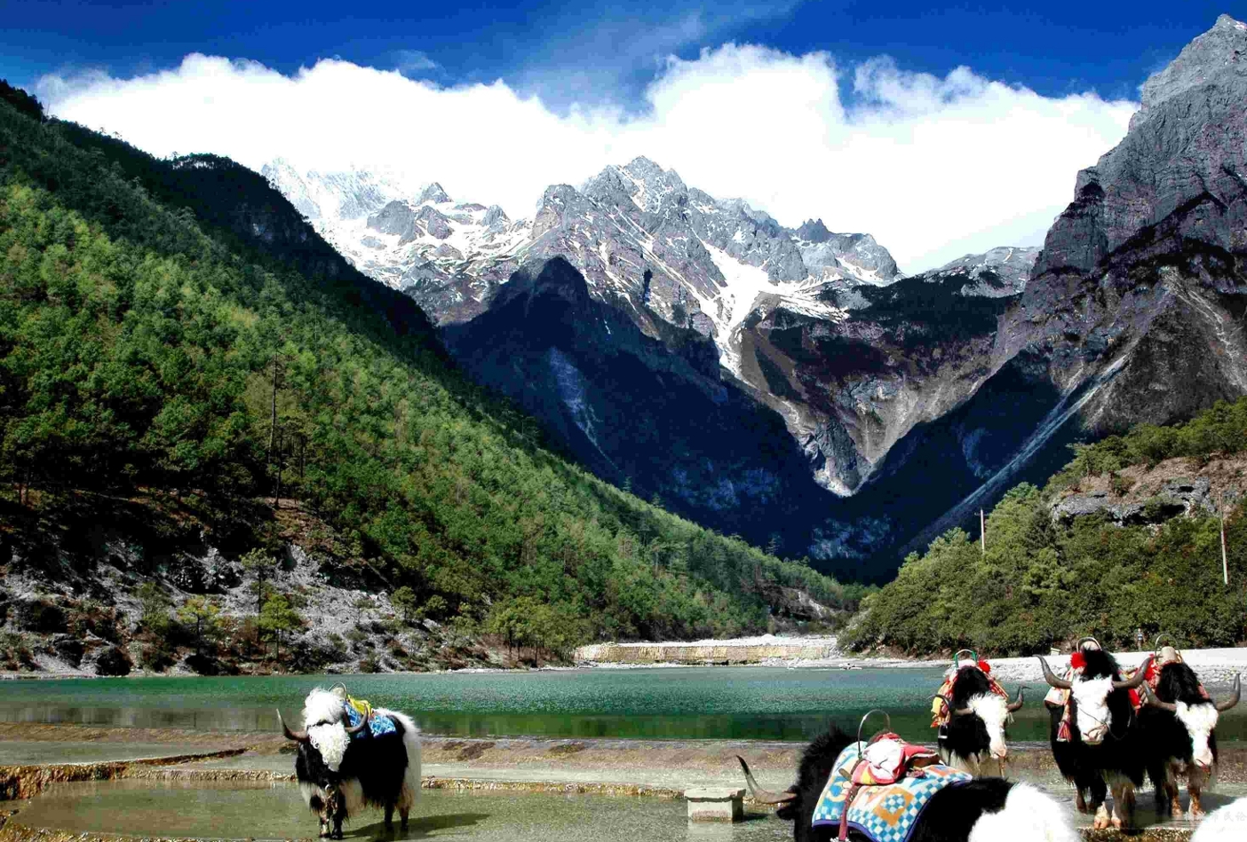
玉龙雪山位于云南丽江玉龙纳西族自治县境内,丽江市区北面15公里外,玉龙雪山海拔5596米,是国家5A级风景名胜区、云南省级自然保护区[1]北半球最南的大雪山。南北长35公里,东西宽13公里,面积960Km²,高山雪域风景位于海拔4000米以上,以险、奇、美、秀著称于世,随着时令和阴晴的变化,有时云蒸霞蔚、玉龙时隐时现;有时碧空如水,群峰晶莹耀眼;有时云带束腰,云中雪峰皎洁,云下岗峦碧翠;有时霞光辉映,雪峰如披红纱,娇艳无比。整个玉龙雪山集亚热带温带寒带的各种自然景观于一身,构成独特的“阳春白雪”主体景观。雨雪新晴之后,雪格外的白,松格外的绿,掩映生态,移步换形,很像是白雪和绿松在捉迷藏,蔚为奇观

This image, video or audio may be copyrighted. It is used for educational purposes only. If you find it, please notify us byand we will remove it immediately.
玉龙雪山
/assets/contentimages/Yu20Long20Xue20Shan20~0.jpg

Das Yulong Xueshan (chinesisch 玉龍雪山 / 玉龙雪山Pinyin Yùlóngxuě Shān ‚Jadedrachen-Schneegebirge‘) ist ein Bergmassiv unweit von Lijiang im Nordwesten der Provinz Yunnan in der Volksrepublik China. Der höchste Gipfel ist der 5596 m hohe Shanzidou (扇子陡). Die eine Seite des Massivs formt die eine Kante der Tiger-Sprung-Schlucht (虎跳峡).

This image, video or audio may be copyrighted. It is used for educational purposes only. If you find it, please notify us byand we will remove it immediately.