
漢德百科全書 | 汉德百科全书
 Czech Republic
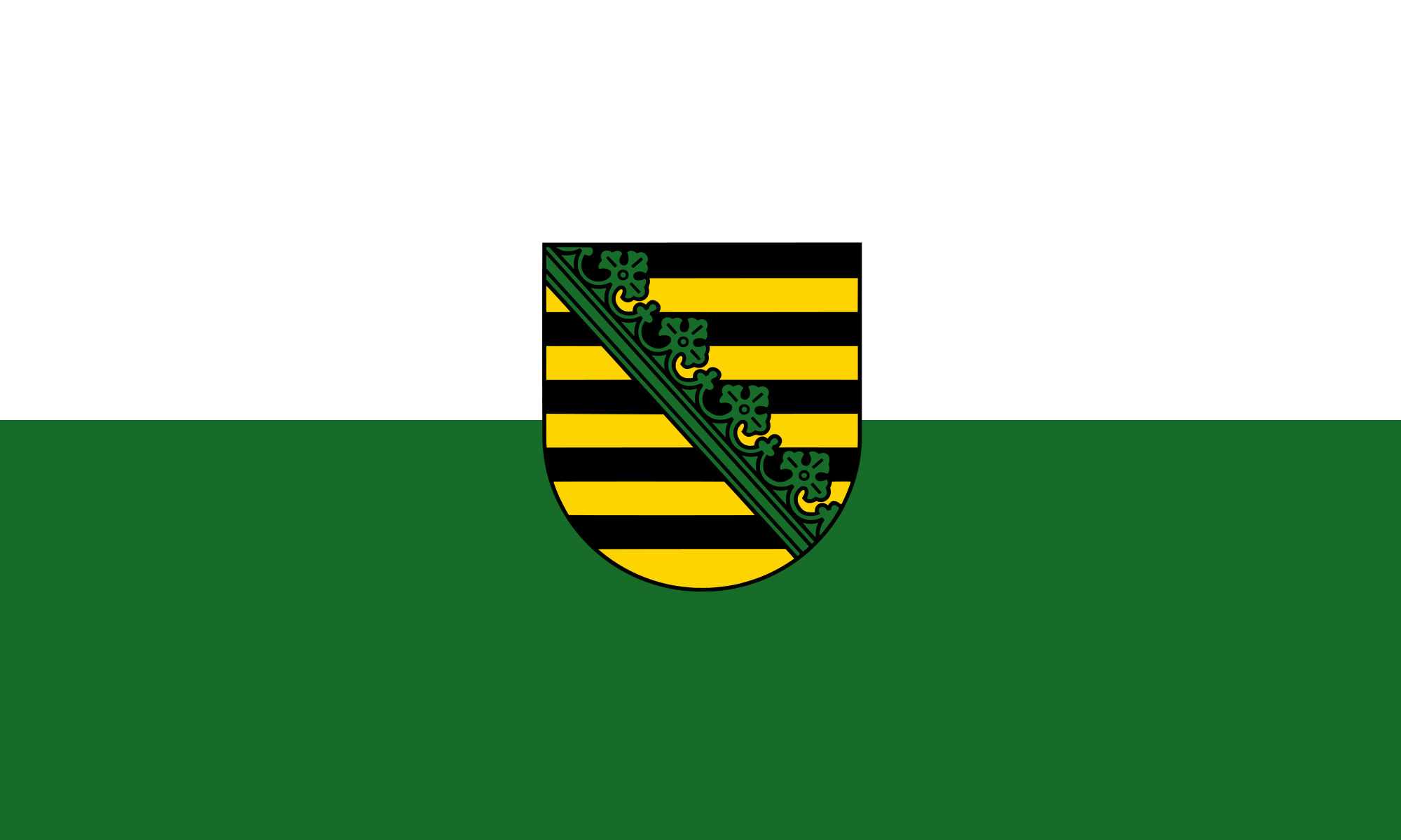 Saxony

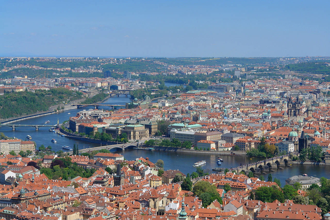
Die Moldau (tschechisch Vltava Ausspracheⓘ/?, historisch Wulda – aus dem germanischen Wilth-ahwa (Bedeutung etwa: Wild-Ache, Wildach), was so viel wie „wildes, reißendes Wasser“ heißt), auch als „Böhmisches Meer“ bezeichnet, ist der längste Fluss in Tschechien und der größte Nebenfluss der Elbe. Der Name ist germanischen Ursprungs und wurde nach der tschechischen Landnahme im 6. Jahrhundert nach Chr. (Völkerwanderungszeit) zu Vltava. Aus dem tschechischen Vltava wurde erst ab dem 11. Jahrhundert im Zuge des deutsch-tschechischen Sprachkontaktes während der mittelalterlichen Ostsiedlung die heutige deutsche Bezeichnung Moldau abgeleitet.[4][5] Sie ist 430 Kilometer lang und entwässert ein Gebiet von 28.000 km² mit durchschnittlich 151 m³/s an der Mündung. Die Moldau ist beim Zusammenfluss mit der Elbe länger und wasserreicher als diese und stellt damit den hydrologischen Hauptfluss des Elbeflusssystems dar.
 Astronomy


 Automobile
 *Self-driving car
Belgium
Denmark
Germany
*Self-driving car
Belgium
Denmark
Germany
 European Union
Finland
France
Greece
Ireland
European Union
Finland
France
Greece
Ireland

 IT-Times
Italy
IT-Times
Italy
 Agriculture, forestry, livestock, fishing

 Aerospace
*ASI
Aerospace
*CNES
Aerospace
*DLR
Aerospace
*ESA
Luxembourg
Aerospace
*ASI
Aerospace
*CNES
Aerospace
*DLR
Aerospace
*ESA
Luxembourg

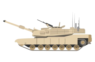

 Military, defense and equipment
Navigation Satellite System
Netherlands
Norwegen
Austria
Portugal
Romania
Military, defense and equipment
Navigation Satellite System
Netherlands
Norwegen
Austria
Portugal
Romania
 Ships and Nautics
Sweden
Spain
Ships and Nautics
Sweden
Spain
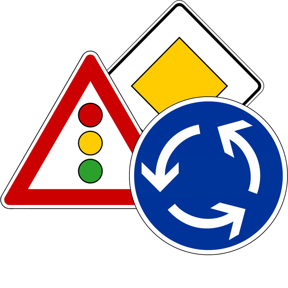
 Transport and traffic
Czech Republic
United Kingdom
Transport and traffic
Czech Republic
United Kingdom
 Science and technology

Die genaue Bestimmung des Standorts und der Zeit - Informationen, die in Zukunft immer häufiger mit hoher Zuverlässigkeit zu zur Verfügung stehen müssen. In wenigen Jahren wird dies mit dem Satellitennavigationssystem GALILEO, einer gemeinsamen Initiative der Europäischen Union und der Europäischen Weltraumorganisation (ESA), möglich sein. Dieses weltweite System wird zugleich komplementär zum derzeitigen GPS-System sein.
Die Satellitennavigation ist eine Spitzentechnologie. Dabei werden von mehreren Satelliten im Weltraum höchst genaue Zeitsignale ausgestrahlt, anhand derer jedermann mit einem kleinen und preisgünstigen Empfangsgerät seinen Standort oder den eines bewegten oder unbewegten Objekts (Fahrzeug, Schiff, Viehherde usw.) auf den Meter genau bestimmen kann.
GALILEO basiert auf einer Konstellation von 30 Satelliten und Bodenstationen, die Nutzer aus den verschiedensten Bereichen mit Ortungsinformationen versorgen können. Zu diesen Sektoren gehören das Verkehrswesen (Ortung und Ermittlung der Geschwindigkeit von Fahrzeugen, Wegplanung, Navigationssysteme usw.), soziale Einrichtungen (z.B. Hilfe für Behinderte oder Senioren), die Justiz und der Zoll (Feststellung des Aufenthaltsortes von Verdächtigen, Grenzkontrollen), das Bauwesen (geografische Informationssysteme), Not- und Rettungsdienste oder der Freizeitsektor (Orientierung auf dem Meer und in den Bergen usw.).(Quelle: http://ec.europa.eu/dgs/energy_transport/galileo/index_de.htm)
Galileo ist ein im Aufbau befindliches, teilweise bereits operationelles, europäisches globales Satellitennavigations- und Zeitgebungssystem unter ziviler Kontrolle (europäisches GNSS).[1]
Es liefert weltweit Daten zur genauen Positionsbestimmung und ähnelt dem US-amerikanischen NAVSTAR-GPS, dem russischen GLONASS-System und dem chinesischen Beidou-System. Die Systeme unterscheiden sich hauptsächlich durch die Frequenznutzungs-/Modulationskonzepte, die Art und Anzahl der angebotenen Dienste und die Art der Kontrolle (GLONASS, Beidou und GPS sind militärisch kontrolliert).
Auftraggeber von Galileo ist die Europäische Union. Der Sitz der Agentur für das Europäische GNSS (Galileo-Agentur, GSA) befindet sich seit 2014 in der tschechischen Hauptstadt Prag.[2]
Mit Stand Ende 2017 sind 22 der vorgesehenen 30 Satelliten in ihrem Orbit.[3] Bis Ende 2019 sollen alle Satelliten in ihre Umlaufbahn gebracht werden. Das Satellitennavigationssystem ist für die Allgemeinheit seit dem 15. Dezember 2016 zugänglich.[4][5]
伽利略定位系统(意大利语:Galileo),是一个正在建造中的卫星定位系统,该系统由欧盟通过欧洲空间局和欧洲导航卫星系统管理局建造[3],总部设在捷克共和国的布拉格。该系统有两个地面操控站,分别位于德国慕尼黑附近的奥伯法芬霍芬和意大利的富齐诺。这个造价五十亿欧元[4]的项目是以意大利天文学家伽利略的名字命名的。伽利略系统的目的之一是为欧盟国家提供一个自主的高精度定位系统,该系统独立于俄罗斯的格洛纳斯系统和美国的全球定位系统(GPS),在这些系统被关闭时,欧盟就可以使用伽利略系统。该系统的基本服务(低精度)是提供给所有用户免费使用的,高精度定位服务仅提供给付费用户使用。伽利略系统的目标是在水平和垂直方向提供精度1米以内的定位服务,并且在高纬度地区提供比其他系统更好的定位服务。[5]
伽利略系统是中地球轨道搜救卫星系统的一部分,可提供一种新的全球搜救方式。伽利略系统的卫星安装有转发器,可以把求救信号从事故地点发送到救援协调中心,救援协调中心就会开始组织救援。同时,该系统还会发射一个返回信号到事故地点处,通知求救人员他们的信号已被收到,相应的救援也正在展开。现有的全球卫星搜救系统是不具备反馈信号功能的,所以伽利略系统这个发消息功能被认为是对全球卫星搜救系统的一个重要升级。[6]2014年,研究人员对伽利略系统的搜救功能进行了测试,该系统是作为当时的全球卫星搜救系统的一部分工作的,测试结果显示,该系统对77%的模拟求救位置定位精度在2千米以内,95%的求救位置定位精度在5千米以内。[7]
伽利略系统的第一颗试验卫星GIOVE-A于2005年12月28日发射,第一颗正式卫星于2011年8月21日发射。该系统计划发射30颗卫星,截止2016年5月,已有14颗卫星发射入轨。伽利略系统于2016年12月15日在布鲁塞尔举行激活仪式,提供早期服务。于2017年到2018年提供初步工作服务,最终于2019年具备完全工作能力。[8] 该系统的30颗卫星预计将于2020年前发射完成,其中包含24颗工作卫星和6颗备用卫星。[9]
ガリレオ(Galileo)は、EUが構築した全地球航法衛星システム。
ガリレオはEUによる全地球航法衛星システムである。高度約24000kmの上空に30機の航法衛星を運用することを予定している。民間主体としては初の衛星航法システムであり、EUはアメリカ国防総省が運営するGPSのように、軍事上の理由によるサービスの劣化及び中断を避けられる利点があるとコメントしている。さらに、測位にかかる時間が短縮され、GPSの数メートルに比べて1メートルまで精度を向上できる。
試験衛星は2005年12月28日に1機目のGIOVE-A衛星が打ち上げられ、2006年1月12日から試験電波が発射されており、2007年5月2日に英Surrey Satellite Technologyによって作成された航法メッセージがギルドフォード地球局からGIOVE-A衛星にアップロードされ放送された。2006年中に打ち上げ予定だった2機目の試験衛星GOOV-Bは、打上げが2008年4月まで遅れた。本格利用開始は2010年頃とされていたが、2013年へと先送りされ、2010年末段階計画では2014年末に18機による初期運用とし2016年末に規定の機数による本格運用に入る計画で進められている。年間の運用コストはEGNOSと合わせて8億ユーロになると見積もられている。
無料で利用できるGPSに対して、莫大な費用を投資し有料での活用を予定しているガリレオの採算性を疑問視する意見も多い。当初の事業費は36億ユーロないし38億ユーロと見込まれており、うち民間企業が24億ユーロを負担する予定だったが、2007年に共同事業体が解散し計画の中止が検討された。2007年5月にEUは公的資金で全額を肩代わりすることを決定し、11月に承認された。2010年には、Wikileaksによって漏出したアメリカ外交当局の資料に、ガリレオに用いる14機の衛星製造を請け負っているドイツの契約企業の担当役員が、ガリレオ計画を「フランスの国益に基づく馬鹿げたアイデア」だとコメントしたことが明らかとなり、問題の役員が解任される騒ぎがあった[1]。
Galileo is the global navigation satellite system (GNSS) that went live in 2016,[4] created by the European Union (EU) through the European GNSS Agency (GSA),[5] headquartered in Prague in the Czech Republic,[6] with two ground operations centres, Oberpfaffenhofen near Munich in Germany and Fucino in Italy. The €10 billion project[3][7] is named after the Italian astronomer Galileo Galilei. One of the aims of Galileo is to provide an independent high-precision positioning system so European nations do not have to rely on the U.S. GPS, or the Russian GLONASS systems, which could be disabled or degraded by their operators at any time.[8] The use of basic (lower-precision) Galileo services will be free and open to everyone. The higher-precision capabilities will be available for paying commercial users. Galileo is intended to provide horizontal and vertical position measurements within 1-metre precision, and better positioning services at higher latitudes than other positioning systems. Galileo is also to provide a new global search and rescue (SAR) function as part of the MEOSAR system.
The first Galileo test satellite, the GIOVE-A, was launched 28 December 2005, while the first satellite to be part of the operational system was launched on 21 October 2011. As of July 2018, 26 of the planned 30 active satellites are in orbit.[9][10] Galileo started offering Early Operational Capability (EOC) on 15 December 2016,[1] providing initial services with a weak signal, and is expected to reach Full Operational Capability (FOC) in 2019.[11] The complete 30-satellite Galileo system (24 operational and 6 active spares) is expected by 2020.[12]
Le programme Galileo est un système de positionnement par satellites (radionavigation) développé par l'Union européenne et incluant un segment spatial dont le déploiement doit s'achever vers 2020. Comme les systèmes américain GPS, russe GLONASS et chinois Beidou, il permet à un utilisateur muni d'un terminal de réception d'obtenir sa position. La précision attendue pour le service de base, gratuit, est de 4 mètres horizontalement et de 8 mètres en altitude[réf. nécessaire]. Un niveau de qualité supérieur sera fourni dans le cadre de services payants proposés aux professionnels.
Le segment spatial de Galileo sera constitué à terme de 30 satellites dont 6 de rechange. Chaque satellite, d'une masse d'environ 700 kg, circule sur une orbite moyenne (23 222 kilomètres) dans trois plans orbitaux distincts ayant une inclinaison de 56°. Ces satellites émettent un signal qui leur est propre et retransmettent un signal de navigation fourni par le segment de contrôle de Galileo. Ce dernier est constitué par deux stations chargées également de surveiller l'orbite et l'état des satellites.
Le projet Galileo, après une phase de définition technique qui débute en 1999, est lancé le 26 mai 2003 avec la signature d'un accord entre l'Union européenne et l'Agence spatiale européenne chargée du segment spatial. Une des motivations principales du projet est de mettre fin à la dépendance de l'Europe vis-à-vis du système américain, le GPS. Contrairement à ce dernier, Galileo est uniquement civil. Le projet parvient à surmonter l'opposition de certains membres de l'UE et d'une partie des décideurs américains ainsi que les difficultés de financement (le coût final est évalué à 5 milliards d'euros). Les tests de Galileo débutent fin 2005 grâce aux lancements des satellites précurseurs Giove-A et Giove-B en décembre 2005 et avril 2008. Les premiers satellites en configuration opérationnelle (FOC) sont lancés en août 2014. Au 15 août 2018, vingt-six satellites ont été lancés, dont 18 sont opérationnels et 4 en cours de mise en service1. Les premiers services de Galileo sont opérationnels depuis le 15 décembre 20162,3. La précision maximale ne sera pas atteinte avant 2020, lorsque 24 des 30 satellites seront opérationnels3,4. En janvier 2018, Galileo compte déjà près de 100 millions d'utilisateurs5, et 200 millions en septembre6.
Il sistema di posizionamento Galileo è un sistema di posizionamento e navigazione satellitare civile (in inglese GNSS - Global Navigation Satellite System), sviluppato in Europa come alternativa al Global Positioning System (NAVSTAR GPS), controllato invece dal Dipartimento della Difesa degli Stati Uniti d'America.
La sua entrata in servizio prevista per la fine del 2019[1] è stata anticipata al 15 dicembre 2016[2]. Il sistema una volta completato potrà contare su 26 satelliti artificiali orbitanti (24 operativi più 2 di scorta)[3] su 3 piani inclinati rispetto al piano equatoriale terrestre di circa 56° e ad una quota di circa 23.925 km[3]. Le orbite che saranno seguite dai satelliti sono quelle MEO (Medium earth orbit). A luglio 2018 si trovano in orbita 26 satelliti ma non tutti sono completamente operativi.
Galileo es el programa europeo de radionavegación y posicionamiento por satélite desarrollado por la Unión Europea (UE) conjuntamente con la Agencia Espacial Europea. Este programa dota a la Unión Europea de una tecnología independiente del GPS estadounidense y el GLONASS ruso.1 Al contrario de estos dos, será de uso civil.2 El sistema se pudo poner en marcha el 15 de diciembre del 20163 con alrededor de media constelación y será completado para 2020.4
«Галиле́о» (Galileo) — совместный проект спутниковой системы навигации Европейского союза и Европейского космического агентства, является частью транспортного проекта Трансевропейские сети (англ. Trans-European Networks). Система предназначена для решения геодезических и навигационных задач. В последнее время всё больше производителей ГССН-оборудования интегрируют в свои спутниковые приёмники и антенны возможность принимать и обрабатывать сигналы со спутников «Галилео», этому способствует достигнутая договорённость о совместимости и взаимодополнении с системой NAVSTAR GPS третьего поколения. Финансирование проекта будет осуществляться в том числе за счёт продажи лицензий производителям приёмников.
Помимо стран Европейского Союза, в проекте участвуют: Китай, Израиль, Южная Корея, Украина. Кроме того, ведутся переговоры с представителями Аргентины, Австралии, Бразилии, Чили, Индии, Малайзии. Ожидалось, что «Галилео» войдёт в строй в 2014—2016 годах, когда на орбиту будут выведены все 30 запланированных спутников (24 операционных и 6 резервных[1]). Но на 2018 год спутниковая группировка «Галилео» так и не достигла необходимого количества аппаратов. Компания Arianespace заключила договор на 10 ракет-носителей «Союз» для запуска спутников, начиная с 2010 года[2]. Космический сегмент будет обслуживаться наземной инфраструктурой, включающей в себя три центра управления и глобальную сеть передающих и принимающих станций.
В отличие от американской GPS и российской ГЛОНАСС, система «Галилео» не контролируется национальными военными ведомствами, однако в 2008 году парламент ЕС принял резолюцию «Значение космоса для безопасности Европы», согласно которой допускается использование спутниковых сигналов для военных операций, проводимых в рамках европейской политики безопасности. Разработку системы осуществляет Европейское космическое агентство. Общие затраты оцениваются в 4,9 млрд евро.
Спутники «Галилео» выводятся на круговые геоцентрические орбиты высотой 23 222 км (или 29 600 км от центра Земли), проходят один виток за 14 ч 4 мин 42 с и обращаются в трёх плоскостях, наклонённых под углом 56° к экватору. Долгота восходящего узла каждой из трёх орбит отстоит на 120° от двух других. На каждой из орбит при полном развёртывании системы будет находиться 8 действующих и 2 резервных спутника. Эта конфигурация спутниковой группировки обеспечит одновременную видимость из любой точки земного шара по крайней мере четырёх аппаратов. Временна́я погрешность атомных часов, установленных на спутниках, составляет одну миллиардную долю секунды, что обеспечит точность определения места приёмника около 30 см на низких широтах. За счёт более высокой, чем у спутников GPS, орбиты, на широте Полярного круга будет обеспечена точность до одного метра.
Каждый аппарат «Галилео» весит около 675 кг, его габариты со сложенными солнечными батареями составляют 3,02×1,58×1,59 м, а с развёрнутыми — 2,74×14,5×1,59 м, энергообеспечение равно 1420 Вт на солнце и 1355 Вт в тени. Расчётный срок эксплуатации спутника превышает 12 лет.
 Driving school
Egypt
Australia
Belgium
Brazil
China
Denmark
Germany
Finland
France
Greece
Driving school
Egypt
Australia
Belgium
Brazil
China
Denmark
Germany
Finland
France
Greece
 Hand in Hand
Driver's license
India
Indonesia
Italy
Japan
Canada
Kasachstan
Croatia
Malaysia
Hand in Hand
Hand in Hand
Driver's license
India
Indonesia
Italy
Japan
Canada
Kasachstan
Croatia
Malaysia
 Mongolei
New Zealand
Netherlands
Useful info
Austria
Portugal
Republic of Korea
Russia
Saudi Arabia
Sweden
Switzerland
Singapore
Spain
South Africa
Thailand
Czech Republic
Turkey
Hungary
Mongolei
New Zealand
Netherlands
Useful info
Austria
Portugal
Republic of Korea
Russia
Saudi Arabia
Sweden
Switzerland
Singapore
Spain
South Africa
Thailand
Czech Republic
Turkey
Hungary
 Vacation and Travel
United Arab Emirates
United States
United Kingdom
Vacation and Travel
United Arab Emirates
United States
United Kingdom
国际驾驶执照(International Driving Permit)依照1949年日内瓦国际道路交通公约及1968年维也纳国际道路交通公约,由公约签署国政府签发,方便本国驾驶员在其他签约国驾驶私人车辆。国际驾驶执照为附加在一国驾驶执照之上的一本附加多国语言的说明,标注了驾驶人的基本信息以及允许驾驶的对应车辆种类等,解决驾驶员与其他国家的交通管理部门之间的沟通障碍。国际驾照不能独立存在,当驾驶员同时持有一国驾照与该国政府签发的国际驾照时,此国际驾照才视作有效。[1]
国际驾驶执照之内容及格式依照维也纳道路交通会议制订,但并非各国均批准该公约。
Ein Internationaler Führerschein ist ein Dokument, das von den Straßenverkehrsbehörden oder Automobilclubs[1] eines Landes aufgrund zwischenstaatlicher Verträge ausgestellt wird. Er soll vor allem der Polizei eines anderen Landes die Feststellung ermöglichen, ob ein ausländischer Kraftfahrer die Fahrerlaubnis hat, die für sein aktuelles Fahrzeug erforderlich ist.
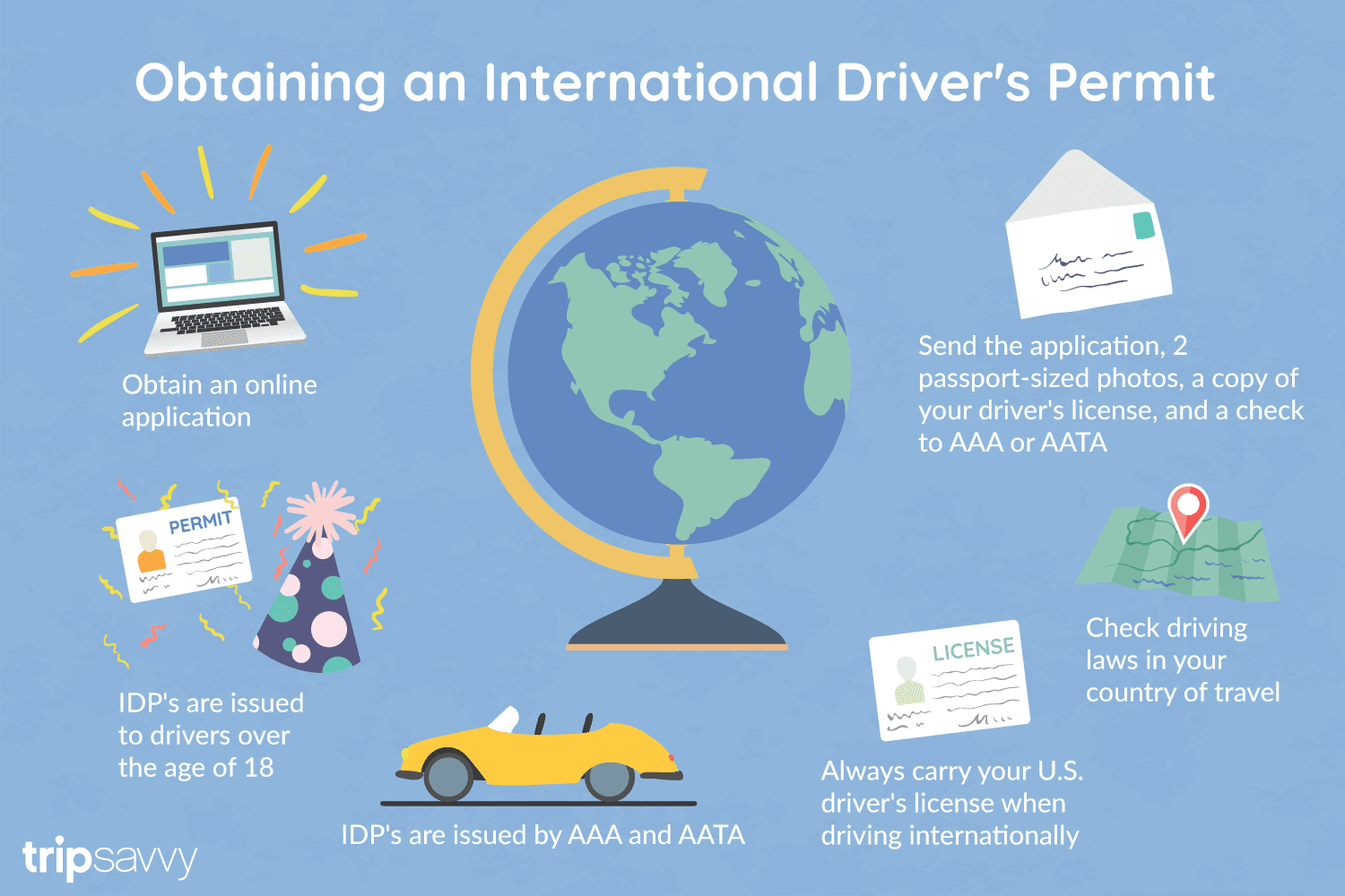
An International Driver's Permit (IDP) allows you to drive a vehicle in another country, as long as you also have a valid driver's license issued by your state. It is also recognized as a proper form of identification in over 175 countries and by many major car rental companies internationally.
Getting an International Driver's Permit (sometimes incorrectly called an international driver's license) can take anywhere from a day to a few weeks, depending on whether you're going through walk-in processing or applying via mail, so make sure to plan ahead if you're planning to drive on your international trip. There are only two locations in the United States that issue these documents: The American Automobile Association (AAA) and the American Automobile Touring Alliance (AATA).
In the United States, International Driver Permits (IDPs) are only issued by the American Automobile Association and the American Automobile Touring Alliance, and the State Department recommends against purchasing an IDP from other outlets as they are all entirely illegal to buy, carry, or sell.
IDPs can be issued to anyone over 18 who has had a valid driver's license for six months or longer. They typically remain valid for one year or the expiration of your existing state driving license. It's essential to investigate an IDP before your trip and make sure you know the requirements.
Both AAA and AATA are excellent sources for these documents, so once you've selected a provider, go to either the AAA's or NAATA's website, print out the International Driving Permit Application, complete all applicable fields, and submit it.
Once you have the application completed, you can send it in via the mail or visit a local office of an organization like AAA; you'll also need two original passport-sized photos and a signed copy of your valid U.S. driver's license as well as an enclosed check for the fee.
Tips to Getting and Using Your Permit
AAA offices can process IDPs during your visit, but processing generally takes 10 to 15 business days if you send the application in. However, expedited services may be available to get your license within one or two business days for an additional fee.
When applying, you'll need a computer and printer, a completed application, a copy of your valid U.S. driver's license, two passport photos, and a check, money order, or credit card to complete the process. Remember to bring these with you if you're applying in person.
Always make sure to carry your valid United States driver's license when driving internationally, as your IDP is invalid without this accompanying proof of eligibility to drive. IDPs only translate domestically-accepted licenses and do not allow those without government-issued driver's licenses to drive abroad.
You'll also want to make sure to enclose the proper fees (the fee for the IDP, as well as any shipping and handling fees), photos, and photocopies of your license when submitting your application to AAA or AATA as omitting any of these required documents will result in your application being rejected.
You should also check the driving requirements and laws for the countries you will be driving in on your vacation, so you'll know what will be required in the event you get stopped by local authorities. (Quelle:https://www.tripsavvy.com/)
 International cities


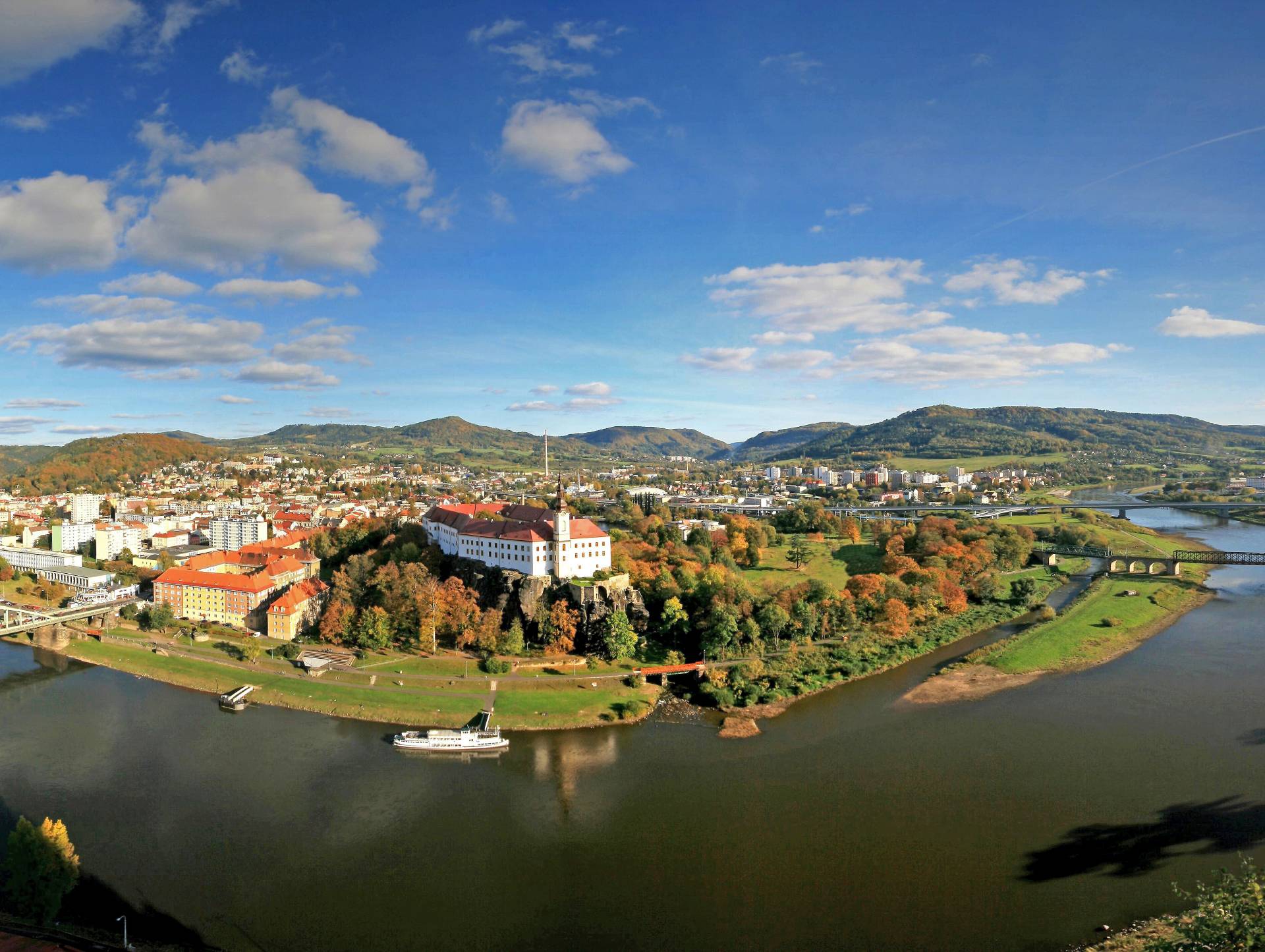
赫拉德茨-克拉洛韦(捷克语:Hradec Králové,德语:Königgrätz,含义为国王的城堡,国际音标:![]() ['ɦradɛts 'kraːlovɛː] 帮助·信息)是捷克共和国的一座城市,赫拉德茨-克拉洛韦州首府。食物处理技术、光化学和电子制造业是该市的主要经济活动。
['ɦradɛts 'kraːlovɛː] 帮助·信息)是捷克共和国的一座城市,赫拉德茨-克拉洛韦州首府。食物处理技术、光化学和电子制造业是该市的主要经济活动。
Hradec Králové (![]() anhören?/i; deutsch Königgrätz; latinisiert Reginogradecium) ist eine tschechische Stadt am Oberlauf der Elbe im Vorland des Riesengebirges in Nordostböhmen. Sie ist das Verwaltungszentrum der Region Hradec Králové, Universitätsstadt und Bischofssitz. In der Nähe der Stadt fand 1866 die Schlacht bei Königgrätz zwischen Preußen und Österreich statt.
anhören?/i; deutsch Königgrätz; latinisiert Reginogradecium) ist eine tschechische Stadt am Oberlauf der Elbe im Vorland des Riesengebirges in Nordostböhmen. Sie ist das Verwaltungszentrum der Region Hradec Králové, Universitätsstadt und Bischofssitz. In der Nähe der Stadt fand 1866 die Schlacht bei Königgrätz zwischen Preußen und Österreich statt.
 History
Belgium
Amber Road
Denmark
Germany
Estonia
France
Greece
Italy
Latvia
Lithuania
Netherlands
Austria
Poland
Russia
Switzerland
Slovakia
Slovenia
Spain
Czech Republic
Hungary
History
Belgium
Amber Road
Denmark
Germany
Estonia
France
Greece
Italy
Latvia
Lithuania
Netherlands
Austria
Poland
Russia
Switzerland
Slovakia
Slovenia
Spain
Czech Republic
Hungary

琥珀之路(英语:Amber Road)是一条古代运输琥珀的贸易道路,这条水路和陆路结合而成的通商道路,从欧洲北部的北海和波罗的海通往欧洲南部的地中海,连结了欧洲的多个重要城市,维持了多个世纪。
在公元前后的很长一段时间,琥珀作为装饰品中的重要组成部分,被从北海和波罗的海海岸的产地,经由维斯瓦河和第聂伯河运输到意大利、希腊、黑海和埃及。琥珀之路连结了琥珀的产地和在欧洲、中东地区和远东地区的消费地,并经由另一条通商道路丝绸之路继续通往亚洲。
Als Bernsteinstraße werden verschiedene Handelswege des Altertums (Altstraßen) bezeichnet, auf denen (unter anderem) Bernstein von der Nord- und Ostsee nach Süden in den Mittelmeerraum gelangte. Genau genommen handelt es sich nicht um eine Straße, sondern um unabhängige Handelswege, die für verschiedene Handelsgüter genutzt wurden. Die Bezeichnung „Bernsteinstraße“ tritt etwa ab dem Ende des 18. Jahrhunderts auf und hat in antiken Quellen keine Entsprechung.
 World Heritage

 Music
Music
 Performing Arts

Die Tschechische Philharmonie (tschechisch Česká filharmonie) ist ein international anerkanntes Orchester Tschechiens. Bei einer für die Oktoberausgabe 2006 von der französischen Musikzeitschrift Le Monde de la Musique[1] durchgeführten Umfrage unter Musikkritikern wurde die Tschechische Philharmonie unter die zehn besten Orchester Europas gewählt, 2008 in der Dezemberausgabe der britischen Zeitschrift „Gramophone“ unter die 20 besten Orchester weltweit.
Als typisches Charakteristikum des Orchesters gilt sein „weicher Klang“, nahezu sämtliche Referenzaufnahmen mit Musik tschechischer Komponisten entstanden mit der Tschechischen Philharmonie.

 Geography
***IMF Developed countries
Geography
IMF Developed countries
IMF Developed countries
TOP5
Geography
***IMF Developed countries
Geography
IMF Developed countries
IMF Developed countries
TOP5
 Mitglieder der NATO
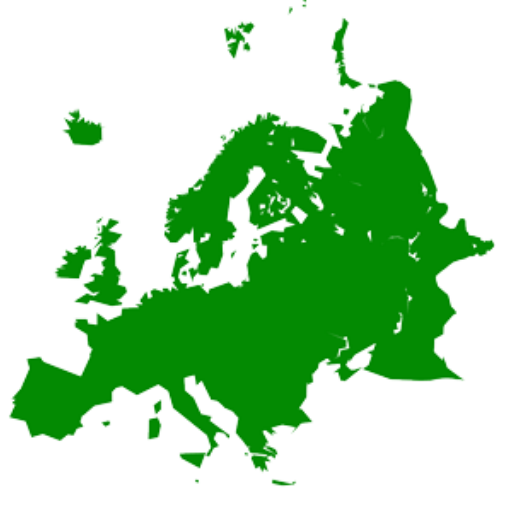 States of Europe
Czech Republic
States of Europe
Czech Republic
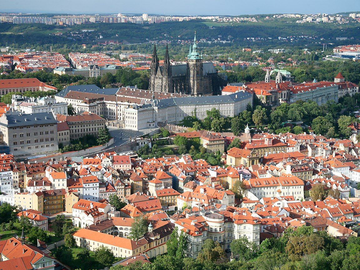
Tschechien (tschechisch Česko, amtlich Tschechische Republik, veraltet auch Tschechei, tschechisch Česká republika ) ist ein Binnenstaat in Mitteleuropa mit rund 10,5 Millionen Einwohnern. Es setzt sich aus den historischen Ländern Böhmen (Čechy) und Mähren (Morava) sowie Teilen von Schlesien (Slezsko) zusammen. Das Land grenzt im Westen an Deutschland, im Norden an Polen, im Osten an die Slowakei und im Süden an Österreich. Hauptstadt und Millionenmetropole des Landes ist Prag (tschechisch Praha), weitere Großstädte sind Brünn (Brno), Ostrau (Ostrava), Pilsen (Plzeň), Reichenberg (Liberec) und Olmütz (Olomouc).
Im 6. Jahrhundert wanderten Slawen in das zuvor von Kelten und Germanen besiedelte Böhmen ein. Anfang des 9. Jahrhunderts bildete sich das Mährerreich als erstes slawisches Staatswesen heraus. Der geeinte tschechische Staat entstand unter der böhmischen Přemysliden-Dynastie, als im 11. Jahrhundert die Markgrafschaft Mähren Böhmen unterstellt und 1085 das Königreich Böhmen geformt wurde. Es hatte eine Sonderstellung im Heiligen Römischen Reich und beherrschte unter den Přemysliden und Luxemburgern große Gebiete Kontinentaleuropas. Im Zuge des Aufstiegs der Habsburger und des Dreißigjährigen Krieges wurde das Gebiet Teil der Habsburgermonarchie und blieb es bis zu deren Zerfall nach der Niederlage im Ersten Weltkrieg.
Im Jahre 1918 erfolgte die Gründung der demokratischen Tschechoslowakei. Im Jahre 1939 wurde der tschechische Landesteil durch das nationalsozialistische Deutschland besetzt und zum Protektorat Böhmen und Mähren erklärt. Im Jahre 1945 befreiten die Alliierten mit Unterstützung der Tschechoslowakischen Exilarmee das Land vom NS-Regime. Nach dem Krieg wurde die deutsche Minderheit vertrieben. Nachdem die Rote Armee den Großteil der Tschechoslowakei besetzt hatte, übernahm 1948 die Kommunistische Partei der Tschechoslowakei (KSČ) im sogenannten Februarumsturz die Macht im Land, das somit zum Satellitenstaat der Sowjetunion wurde. Die Reformbewegung des Prager Frühlings schlugen im Jahr 1968 Truppen des Warschauer Paktes nieder. Nach der Samtenen Revolution 1989 wurde unter Präsident Václav Havel die Demokratie wiedererrichtet. Die heutige Tschechische Republik entstand am 1. Januar 1993 mit der friedlichen Teilung der Tschechoslowakei. Sie ist seit 1999 Mitglied der NATO und seit 2004 Mitglied der Europäischen Union.
捷克共和国(捷克语:Česká republika),通称捷克(Česko),是一个位在于中欧的内陆国家。南面是奥地利,西面是德国,东北面是波兰,东面为斯洛伐克[7]。
捷克国家起源于波希米亚王国,是神圣罗马帝国的首都和三十年宗教战争的策源地,后成为奥地利帝国和奥匈帝国的工业中心。20世纪初,因一战结束而从奥匈帝国独立,和斯洛伐克合并为捷克斯洛伐克,名列世界七大工业国之一,二战时被纳粹德国吸收为保护国。冷战时代被苏联拉入东方集团,成为苏共的卫星国;1989年透过天鹅绒革命脱离共产体制转向民主,1993年经历天鹅绒分离与斯洛伐克以和平的方式分裂为独立国家,但两国关系依旧友好如初。捷克和德国、奥地利一样,在机械制造业、啤酒产业、观光旅游业领域都非常发达,也是所有斯拉夫民族的国家中教育程度最高及民主体制最稳定的国家,其福利政策在中欧国家中名列前茅。
チェコ共和国(チェコきょうわこく、チェコ語: Česká republika、英: Czech Republic)、通称チェコは、中央ヨーロッパ[注釈 1]の共和制国家。首都はプラハである。国土は東西に細長い六角形に近い形をしており、北はポーランド、東はスロバキア、南はオーストリア、西はドイツと国境を接する。
1993年にチェコスロバキアがチェコとスロバキアに分離し成立した。NATO、EU、OECDの加盟国で、中欧4か国からなるヴィシェグラード・グループの一員でもある。
The Czech Republic,[a][11] also known by its short-form name Czechia[b][12] and formerly known as Bohemia,[13] is a landlocked country in Central Europe. It is bordered by Austria to the south, Germany to the west, Poland to the northeast, and Slovakia to the east.[14] The Czech Republic has a hilly landscape that covers an area of 78,871 square kilometers (30,452 sq mi) with a mostly temperate continental and oceanic climate.
The Duchy of Bohemia was founded in the late 9th century under Great Moravia. It was formally recognized as an Imperial State of the Holy Roman Empire in 1002 and became a kingdom in 1198.[15][16] Following the Battle of Mohács in 1526, the whole Crown of Bohemia was gradually integrated into the Habsburg Monarchy. The Protestant Bohemian Revolt led to the Thirty Years' War. After the Battle of the White Mountain, the Habsburgs consolidated their rule. With the dissolution of the Holy Empire in 1806, the Crown lands became part of the Austrian Empire.
In the 19th century, the Czech lands became more industrialized, and in 1918 most of it became part of the First Czechoslovak Republic following the collapse of Austria-Hungary after World War I.[17] Czechoslovakia was the only country in Central and Eastern Europe to remain a parliamentary democracy during the entirety of the interwar period.[18] After the Munich Agreement in 1938, Nazi Germany systematically took control over the Czech lands. Czechoslovakia was restored in 1945 and became an Eastern Bloc communist state following a coup d'état in 1948. Attempts at a liberalisation of the government and economy were suppressed by a Soviet-led invasion of the country during the Prague Spring in 1968. In November 1989, the Velvet Revolution ended communist rule in the country, and on 1 January 1993, Czechoslovakia was dissolved, with its constituent states becoming the independent states of the Czech Republic and Slovakia.
The Czech Republic is a unitary parliamentary republic and developed country with an advanced, high-income social market economy. It is a welfare state with a European social model, universal health care and tuition-free university education. It ranks 12th in the UN inequality-adjusted human development and 24th in the World Bank Human Capital Index ahead of the United States. It ranks as the 9th safest and most peaceful country and 31st in democratic governance. The Czech Republic is a member of NATO, the EU, OECD, OSCE, and the CoE.
La Tchéquie, en forme longue la République tchèque4 (en tchèque : Česko /ˈt͡ʃɛskɔ/ Écouter et Česká republika /ˈt͡ʃɛskaː ˈrɛpublɪka/ Écouter), est un pays d'Europe centrale sans accès à la mer, entouré par la Pologne au nord-est, l’Allemagne au nord-ouest et à l’ouest, l’Autriche au sud et la Slovaquie à l'est-sud-est.
Regroupant les régions historiques de Bohême et de Moravie et une partie de la Silésie, la République tchèque5 naît formellement le 1er janvier 1969 de la fédéralisation de la Tchécoslovaquie.
Elle est indépendante depuis le 1er janvier 1993 à l'occasion de la scission de la République fédérale tchèque et slovaque, dernière forme de gouvernement de la Tchécoslovaquie6.
La Tchéquie est membre de l’OTAN depuis le 12 mars 1999 et fait partie de l’Union européenne depuis le 1er mai 2004.
La Repubblica Ceca[4][5] (in ceco: Česká republika, ), conosciuta anche come Cechia[6] (Česko), è uno Stato membro dell'Unione europea, situato nell'Europa centrale.
Confina a sud-est con la Slovacchia, a sud con l'Austria, a ovest con la Germania e a nord con la Polonia. È uno Stato senza sbocco al mare. La sua capitale è Praga. È formata storicamente da tre grandi regioni: Boemia (ovest), Moravia (est) e Slesia (divisa con la Polonia).
Nata il 1º gennaio 1993, assieme alla Slovacchia, dalla pacifica scissione della Cecoslovacchia, che già dal 1990 aveva assunto il nome di Repubblica Federale Ceca e Slovacca, la Repubblica Ceca fa parte dell'Unione europea e della NATO ed è uno degli Stati più sicuri al mondo, secondo il Global Peace Index 2019.[7] Non ha adottato l'euro come valuta.
La República Checa (en checo, Česká republika, pronunciado [ˈt͡ʃɛskaː ˈrɛpuˌblɪka] (![]() escuchar)), también conocida abreviadamente como Chequia (Česko, pronunciado [ˈt͡ʃɛsko]),nota 1 es un país soberano de Europa Central sin litoral. Limita con Alemania al oeste, con Austria al sur, con Eslovaquia al este y con Polonia al norte. Su capital y mayor ciudad es Praga. La República Checa está formada por los territorios históricos de Bohemia y Moravia, además de una pequeña parte de Silesia.
escuchar)), también conocida abreviadamente como Chequia (Česko, pronunciado [ˈt͡ʃɛsko]),nota 1 es un país soberano de Europa Central sin litoral. Limita con Alemania al oeste, con Austria al sur, con Eslovaquia al este y con Polonia al norte. Su capital y mayor ciudad es Praga. La República Checa está formada por los territorios históricos de Bohemia y Moravia, además de una pequeña parte de Silesia.
El Estado checo, antes conocido como Bohemia, se formó en el siglo ix como un pequeño ducado en torno a Praga en el seno del entonces poderoso Imperio de Gran Moravia. Tras la disolución de este imperio en 907, el centro de poder pasó de Moravia a Bohemia bajo la dinastía Premislidas y desde 1002 el ducado fue formalmente reconocido como parte del Sacro Imperio Romano Germánico.1415 En 1212 el ducado alcanzó la categoría de reino y durante el gobierno de los reyes y duques Premislidas y sus sucesores, los Luxemburgo, el país alcanzó su mayor extensión territorial en los siglos xiii y xiv. Durante las guerras husitas el reino tuvo que sufrir embargos económicos y la llegada de caballeros cruzados de toda Europa.16
Tras la batalla de Mohács en 1526, el reino de Bohemia pasó a integrarse gradualmente a los dominios de los Habsburgo como uno de sus tres dominios principales, junto al archiducado de Austria y el reino de Hungría. La derrota de los bohemios en la batalla de la Montaña Blanca, que significó el fracaso de la revuelta de 1618-1620, llevó a la guerra de los Treinta Años y a una mayor centralización de la monarquía, además de a la imposición de la fe católica y la germanización. Con la disolución del Sacro Imperio Romano Germánico en 1806, el reino de Bohemia se integró en el Imperio austríaco.16 Durante el siglo xix las tierras checas se alzaron como centro industrial de la monarquía y después como núcleo de la República de Checoslovaquia que se creó en 1918, resultado del colapso del Imperio austrohúngaro en la Primera Guerra Mundial. Después de 1933, Checoslovaquia era la única democracia de toda la Europa central y del este.
Tras los Acuerdos de Múnich en 1938, la anexión polaca del área de Zaolzie y la ocupación alemana de Checoslovaquia y la consecuente desilusión de los checos con la pobre respuesta de Occidente, los comunistas se hicieron con su favor liberando el país del yugo nazi durante la Segunda Guerra Mundial. El Partido Comunista de Checoslovaquia ganó las elecciones de 1946 y en el Golpe de Praga de 1948 el país pasó a estar gobernado por el comunismo. Sin embargo, la creciente insatisfacción del pueblo llevó a intentar la reforma del régimen, que culminó en la conocida como Primavera de Praga de 1968 y provocó la invasión de las fuerzas armadas del Pacto de Varsovia, unas tropas que permanecieron en el país hasta la Revolución de Terciopelo de 1989, cuando colapsó el régimen comunista. El 1 de enero de 1993, Checoslovaquia se dividió pacíficamente en sus dos Estados constituyentes, la República Checa y la República Eslovaca.17
En 2006 la República Checa se convirtió en el primer exmiembro del Comecon en alcanzar el estatus pleno de país desarrollado según el Banco Mundial.18 Además, el país tiene el mayor índice de desarrollo humano de toda Europa Central y del Este19 y por ello está considerado un Estado con «Desarrollo humano muy alto». Es el noveno país más pacífico de Europa, el más democrático y el que registra menor mortalidad infantil de su región. La República Checa es una democracia representativa parlamentaria, miembro de la Unión Europea, la OTAN, la OCDE, la OSCE, el Consejo de Europa y el Grupo de Visegrado.
Че́хия (чеш. Česko, МФА (чешск.): [ˈʧɛskɔ], официально[7] — Че́шская Респу́блика (аббревиатура — ЧР); чеш. Česká republika (аббревиатура — ČR), МФА (чешск.): [ˈʧɛskaː ˈrɛpuˌblɪka]) — государство в Центральной Европе. Граничит с Польшей на севере (длина границы — 796 км), Германией — на северо-западе и западе (810 км), Австрией — на юге (466 км) и Словакией — на востоке (252 км)[8]. Общая протяжённость границы — 2324 км. Площадь — 78 866 км².
Современная Чехия образовалась в результате распада Чехословакии (Бархатный развод) 1 января 1993 года. Страна включает исторические области — Богемию, Моравию и часть Силезии. Унитарное государство. Относится к развитым странам. Столица Прага — туристическая достопримечательность и крупнейший город страны.
С 12 марта 1999 года Чехия — член НАТО, с 1 мая 2004 года — член Европейского союза.