
漢德百科全書 | 汉德百科全书
 North Carolina-NC

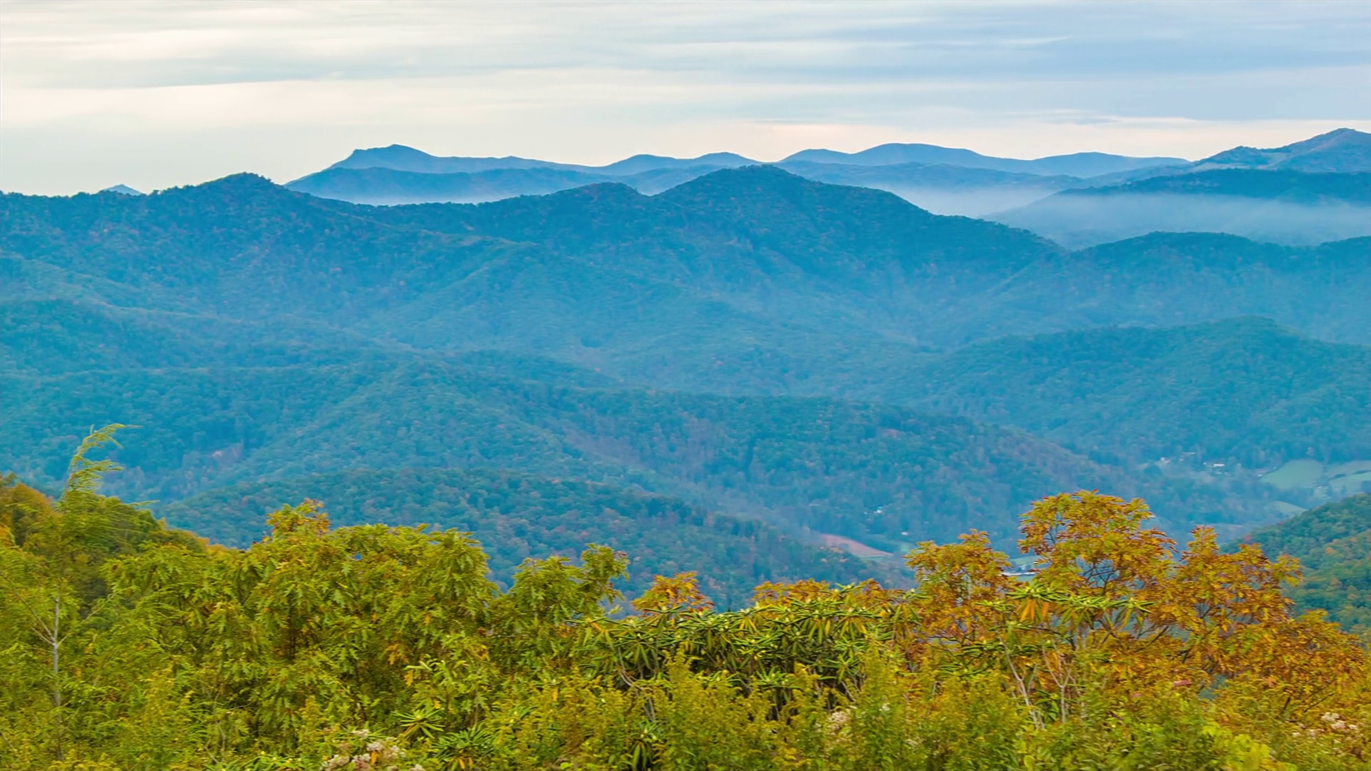
Die Blue Ridge Mountains sind ein Gebirgszug im Osten der USA. Sie sind ein Teil der Appalachen. Der zu ihnen gehörige Mount Mitchell ist mit einer Höhe von 2037 m (6684 Fuß) der höchste Berg der Gebirgskette und zugleich die höchste Erhebung Nordamerikas östlich des Mississippi.
Auf den Blue Ridge Mountains verläuft der Blue Ridge Parkway. Der Parkway führt in weiten Teilen entlang der Bergkämme und wurde während der Great Depression ab 1935 im Rahmen des New Deals von Bundes- und Staatsbehörden unter Mitarbeit der Works Progress Administration und des Civilian Conservation Corps erbaut.
In John Denvers Lied Take Me Home, Country Roads (1971) werden die Blue Ridge Mountains erwähnt (obgleich sich das Lied vor allem auf West Virginia bezieht, das von diesem Gebirgszug kaum berührt wird). Zudem spielt in dieser Gegend die Fernsehserie Die Waltons.
蓝岭山脉(英语:Blue Ridge Mountains)是美国东南部的山脉,为阿帕拉契山脉的东段。从宾夕法尼亚州南部起,经马里兰州、维吉尼亚州和北卡罗莱纳州到乔治亚州[1],东北-西南走向延伸约1050公里。沿线包含有布拉许山(Brushy Mountains)和大烟山(Great Smoky Mountains)等较具代表性的山脉,而最高峰米切尔峰海拔2037米。大烟山和谢南多厄国家公园(Shenandoah National Park)则以森林景色闻名[2]。
ブルーリッジ山脈(ブルーリッジさんみゃく、Blue Ridge Mountains)は、アメリカ合衆国東部をジョージア州からペンシルベニア州にかけて走る山脈。アパラチア山脈の一部で、その南東側の端部にあたる。ブルーリッジ山脈という名は、遠方から見た時に青くかすみがかかって見えることから名づけられた。
アメリカ合衆国東部のジョージア州から、北東方向にノースカロライナ州、テネシー州、バージニア州、メリーランド州を経て、ペンシルベニア州に至る山脈である。最高地点は、アパラチア山脈の最高地点でもあるミッチェル山(Mount Mitchell、標高2,037m、ノースカロライナ州)。
ブルーリッジ山脈には、グレート・スモーキー山脈国立公園のあるグレート・スモーキー山脈等が含まれる。ブルーリッジ山脈の西側は、リッジ・アンド・バレー地方(Ridge-and-valley Appalachians)や、シェナンドー渓谷のあるグレート・バレー(Great Appalachian Valley)を介してアパラチアン山脈の本体に連なる。
アメリカ合衆国のオールアメリカンロードのひとつであるブルーリッジ・パークウェイが、ブルーリッジ山脈をぬってシェナンドー国立公園とグレート・スモーキー山脈国立公園を結んでいる。
ジョン・デンバーが歌った『故郷へかえりたい』Take Me Home, Country Roadsの冒頭では、ウエストバージニア州の風景のひとつとしてブルーリッジ山脈が挙げられているが、実際にはブルーリッジ山脈はウエストバージニア州にはかかっていない。
The Blue Ridge Mountains are a physiographic province of the larger Appalachian Mountains range. The mountain range is located in the eastern United States, and extends 550 miles southwest from southern Pennsylvania through Maryland, West Virginia, Virginia, North Carolina, South Carolina, Tennessee, and Georgia.[1] This province consists of northern and southern physiographic regions, which divide near the Roanoke River gap.[2] To the west of the Blue Ridge, between it and the bulk of the Appalachians, lies the Great Appalachian Valley, bordered on the west by the Ridge and Valley province of the Appalachian range.
The Blue Ridge Mountains are noted for having a bluish color when seen from a distance. Trees put the "blue" in Blue Ridge, from the isoprene released into the atmosphere,[3] thereby contributing to the characteristic haze on the mountains and their distinctive color.[4]
Within the Blue Ridge province are two major national parks – the Shenandoah National Park in the northern section, and the Great Smoky Mountains National Park in the southern section – and eight national forests including George Washington and Jefferson National Forests, Cherokee National Forest, Pisgah National Forest, Nantahala National Forest and Chattahoochee National Forest. The Blue Ridge also contains the Blue Ridge Parkway, a 469-mile (755 km) long scenic highway that connects the two parks and is located along the ridge crest-lines with the Appalachian Trail.[5]
Les montagnes Blue Ridge ou montagnes Bleues (en anglais Blue Ridge Moutains, littéralement « montagnes du massif bleu »1) sont une chaîne de montagne de l'est des États-Unis. Elles forment la partie orientale des Appalaches, et s'étendent sur 880 km de la Pennsylvanie au nord à la Géorgie au sud, en passant par le Maryland, la Virginie-Occidentale, la Virginie, la Caroline du Nord, la Caroline du Sud et le Tennessee.
À l'ouest des Blue Ridge se trouve la Grande vallée des Appalaches (en), qui les sépare du reste du massif.
Les montagnes Blue Ridge sont appelées ainsi pour leur couleur bleuâtre quand elles sont observées de loin. Les arbres apportent le bleu grâce à l'isoprène dégagé dans l'atmosphère2, donnant sa couleur distinctive à la brume caractéristique sur les montagnes.
La catena montuosa si estende da Harper's Ferry, Virginia Occidentale, e si spinge verso sud-ovest, attraversa la Virginia e la Carolina del Nord fino all'interno della Georgia; talvolta si considera come facente parte anche la regione più settentrionale, con Maryland, Pennsylvania e New York.
La vetta più elevata è Monte Mitchell con 2.037 metri, situato nella Carolina del Nord. La catena montuosa ha un'altezza media compresa tra i 600 e i 1200 metri sul livello del mare.
L'esplorazione dei monti avvenne dal 1716 su impulso del governatore della Virgina Alexander Spotswood.
La cordillera Azul (en inglés, Blue Ridge Mountains) es una sección de los Apalaches, que es una importante cordillera ubicada en el este de Norteamérica. La cordillera Azul se extiende íntegramente en Estados Unidos, formando parte de los siguientes siete estados: Pensilvania, Maryland, Virginia, Carolina del Norte, Carolina del Sur, Tennessee y Georgia, como se puede observar en el mapa a la derecha.
El pico más alto de la cordillera (y de toda la cadena de los Apalaches) es el monte Mitchell en Carolina del Norte de 2037 m. Hay 39 picos en Carolina del Norte y Tennessee superiores a los 1800 m; si se compara con la porción norte de los montes Apalaches, solo el monte Washington de Nuevo Hampshire supera los 1800 m.
Голубо́й хребе́т (Блу-Ридж; англ. Blue Ridge Mountains) — цепь горных хребтов и массивов на востоке США, вдоль юго-восточной окраины Аппалачей. Поднимается над плато Пидмонт.
Протяжённость гор составляет более 1000 км. Наиболее высокая вершина — гора Митчелл (2037 м). Горы сложены метаморфическими породами. На склонах произрастают широколиственные и хвойные леса, в межгорных впадинах и котловинах — луга.
 Life and Style
Life and Style
Life and Style
 *E-Commerce
North Carolina-NC
*E-Commerce
North Carolina-NC
 Project and construction machinery
Hardware store
Project and construction machinery
Project and construction machinery
Hardware store
 Companies
*Centuries-old companies in the world
United States
Companies
Companies
*Centuries-old companies in the world
United States

 International cities

 Alabama-AL
 Alaska-AK
 Arizona-AZ
 Arkansas-AR
 Education and Research
Universities and colleges in the United States of America
Education and Research
Universities and colleges in the United States of America
 California-CA
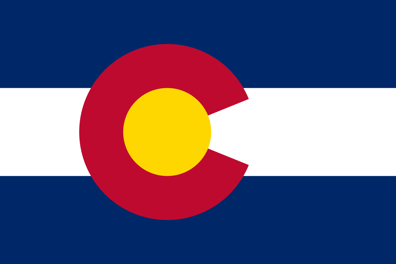 Colorado-CO
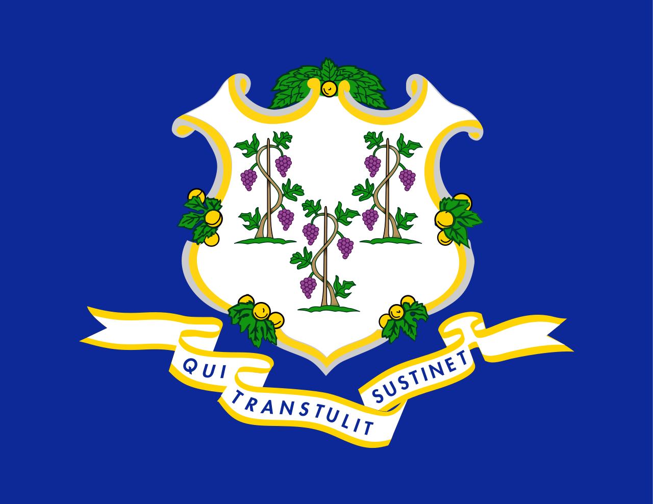 Connecticut-CT
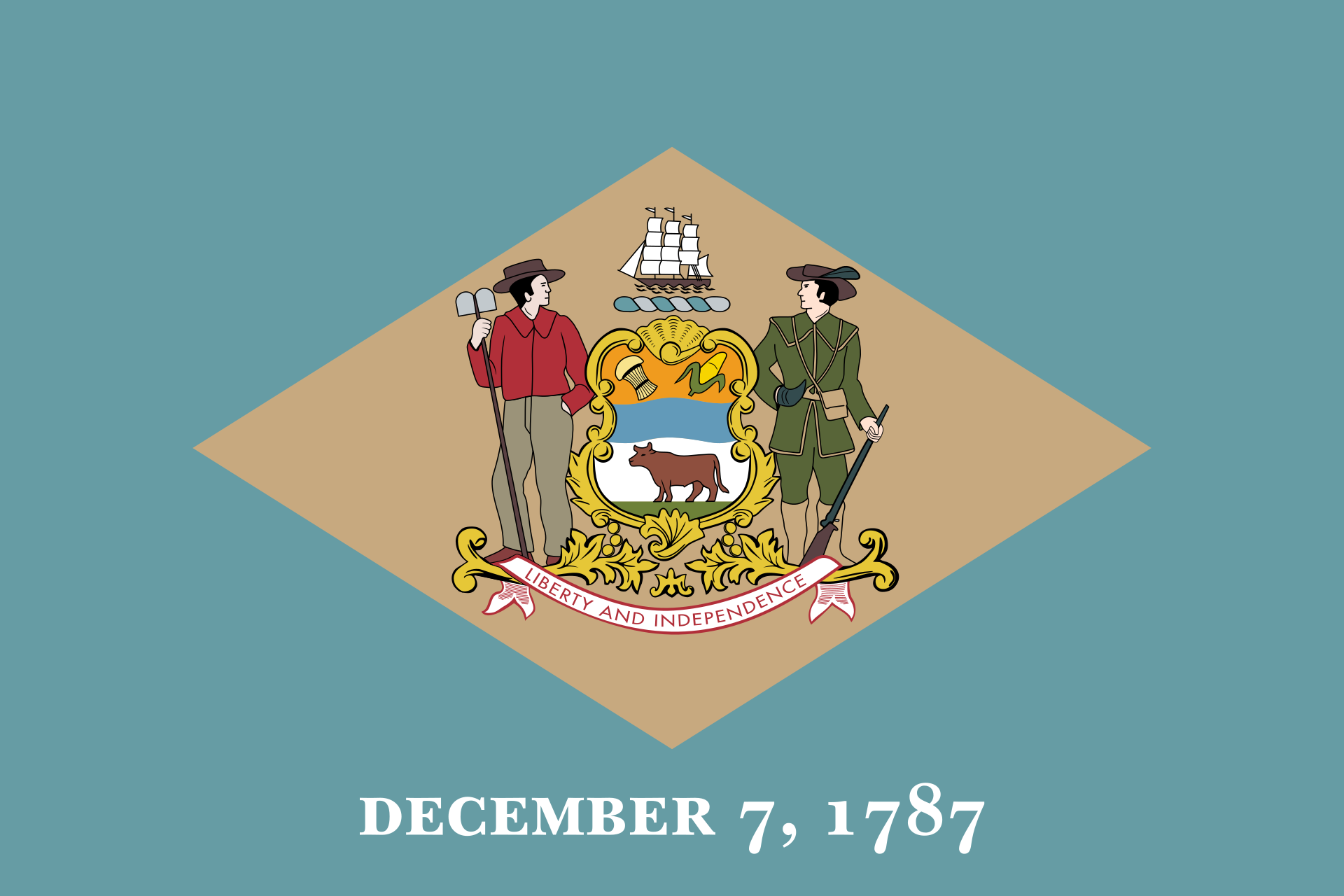 Delaware-DE
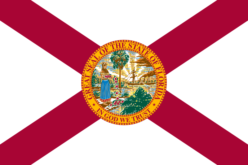 Florida-FL
 Georgia-GA
 Hawaii-HI
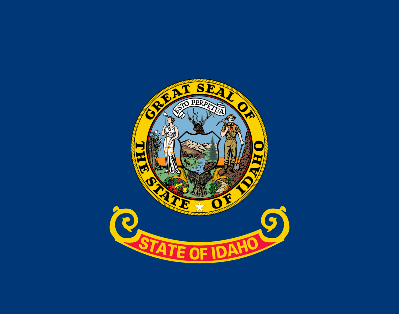 Idaho-ID
 Illinois-IL
 Indiana-IN
 Iowa-IA
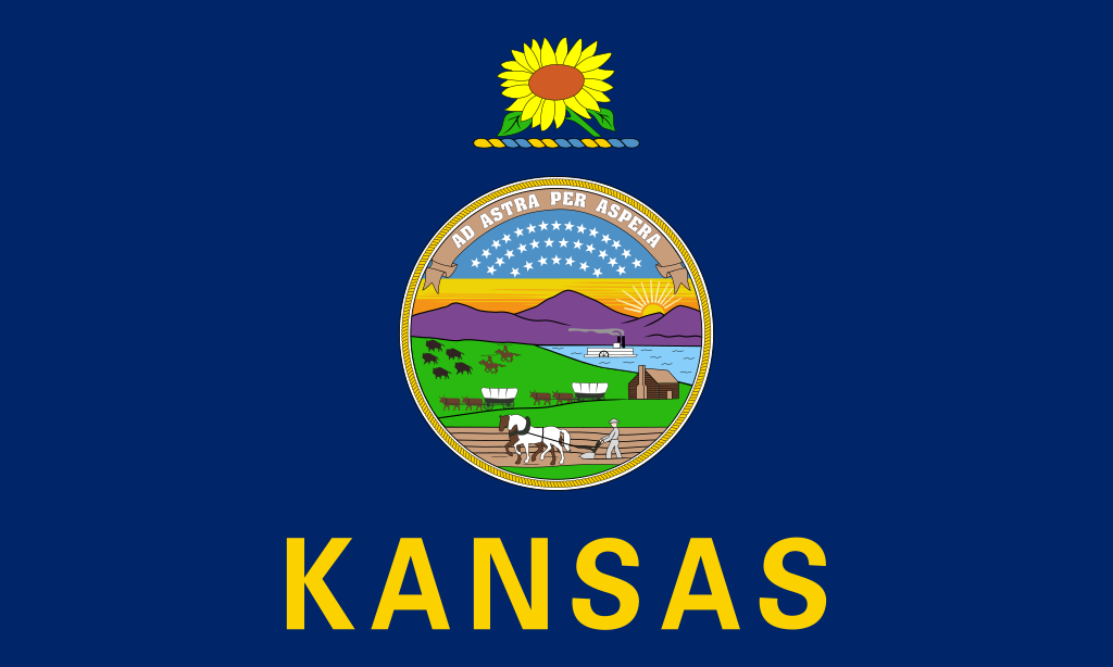 Kansas-KS
 Kentucky-KY
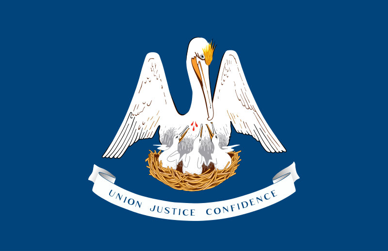 Louisiana-LA
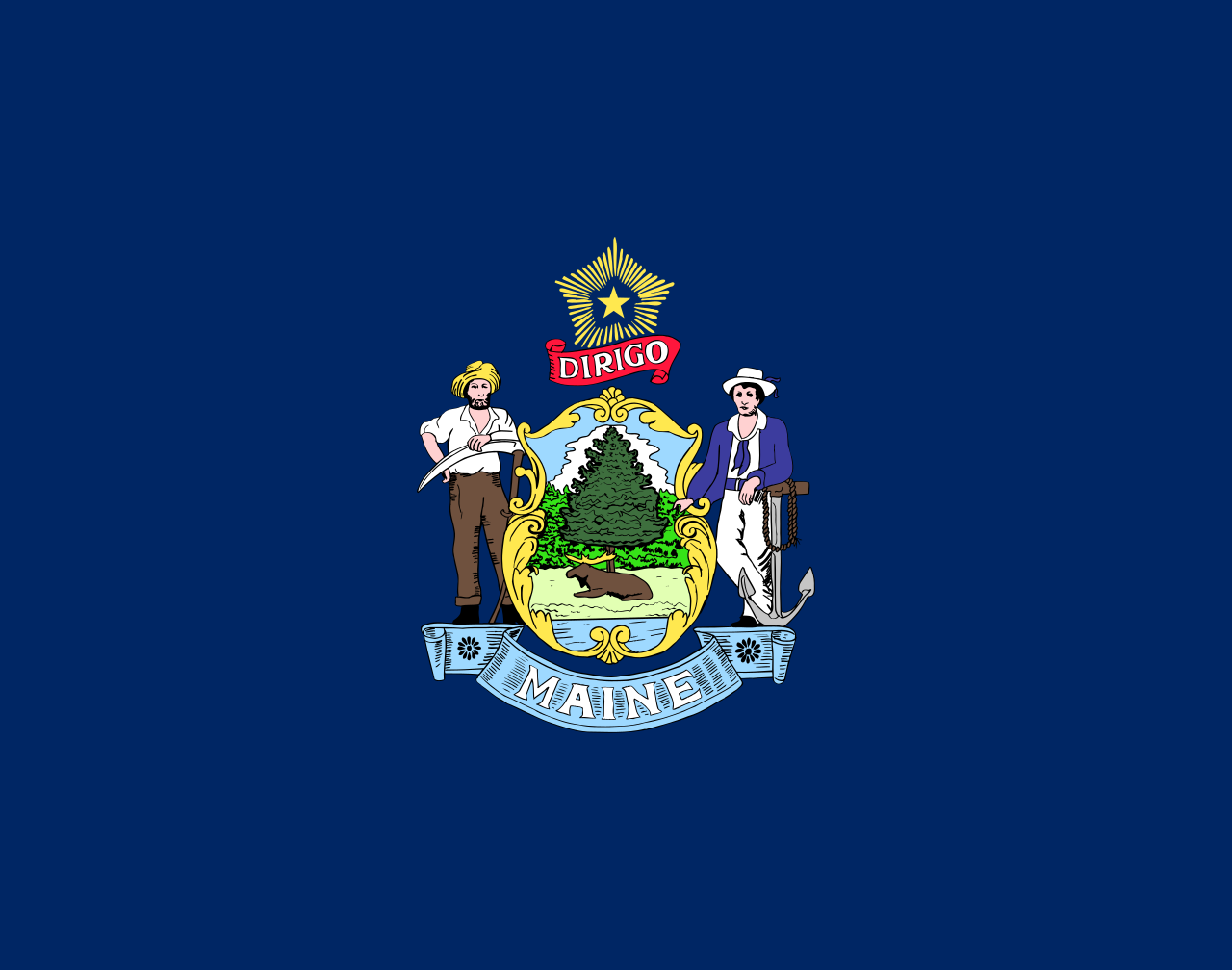 Maine-ME
 Maryland-MD
 Massachusetts-MA
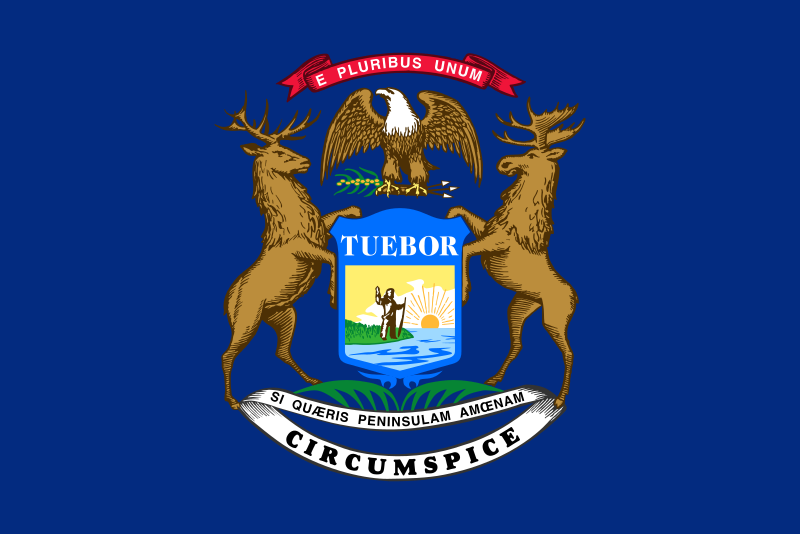 Michigan-MI
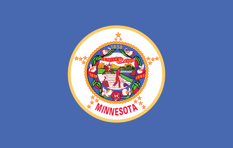 Minnesota-MN
 Mississippi-MS
 Missouri-MO
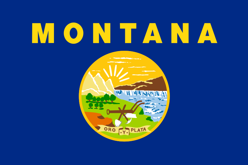 Montana-MT
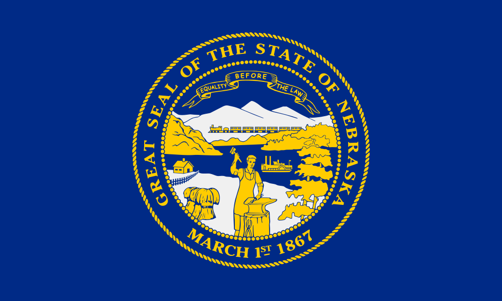 Nebraska-NE
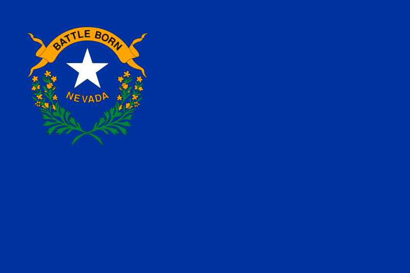 Nevada-NV
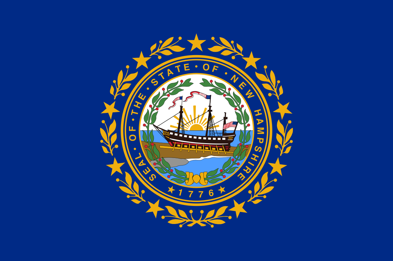 New hampshire-NH
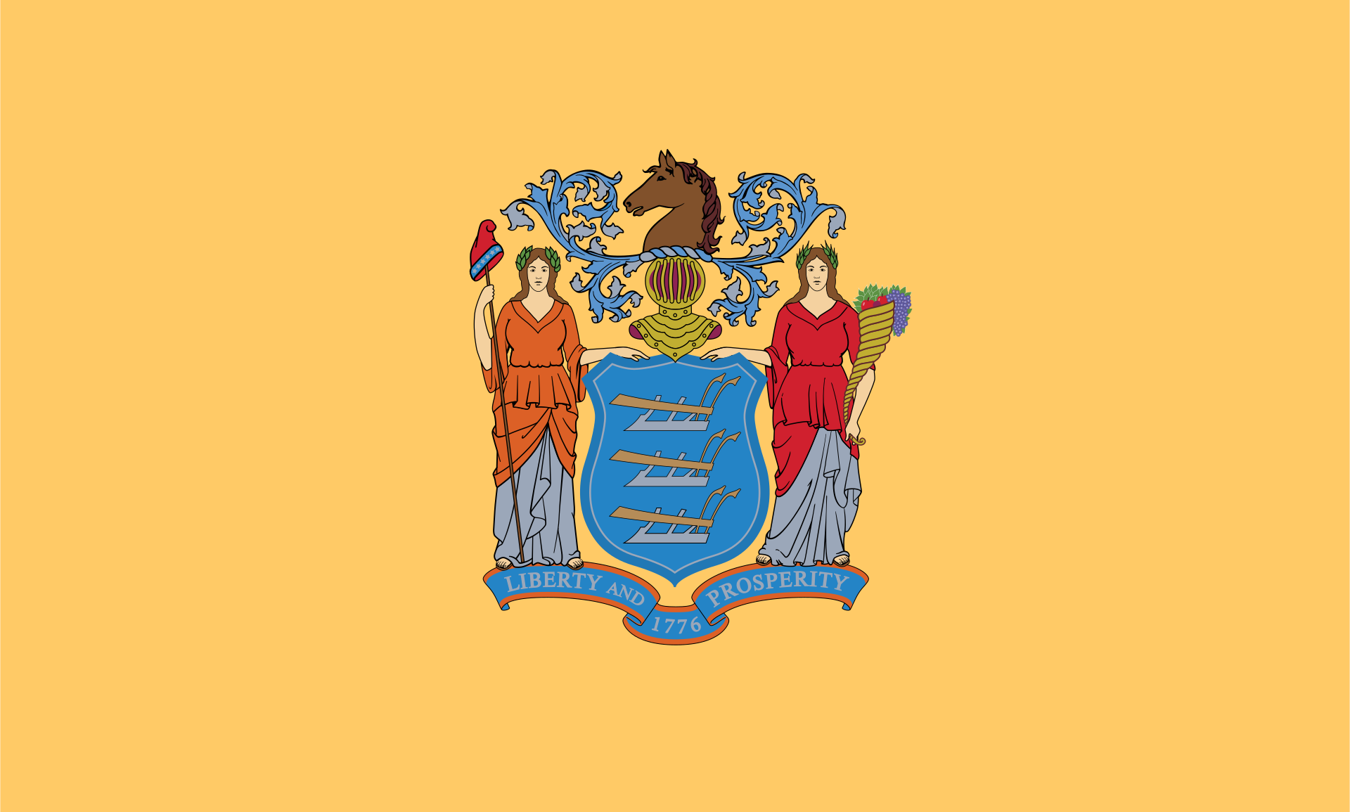 New jersey-NJ
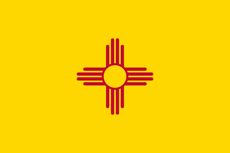 New mexico-NM
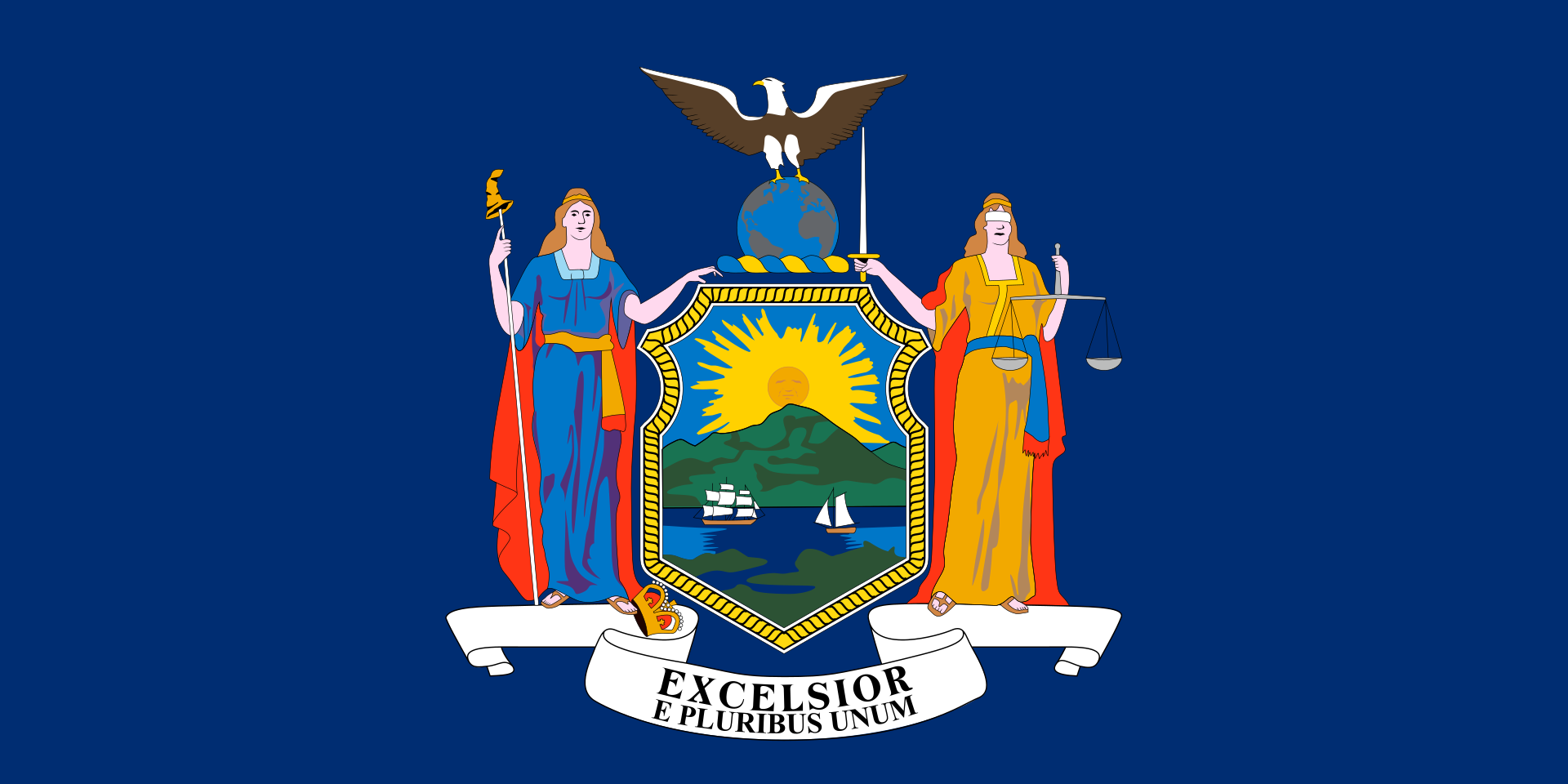 New York-NY
North Carolina-NC
New York-NY
North Carolina-NC
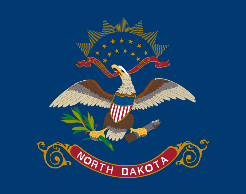 North Dakota-ND
 Ohio-OH
 Oklahoma-OK
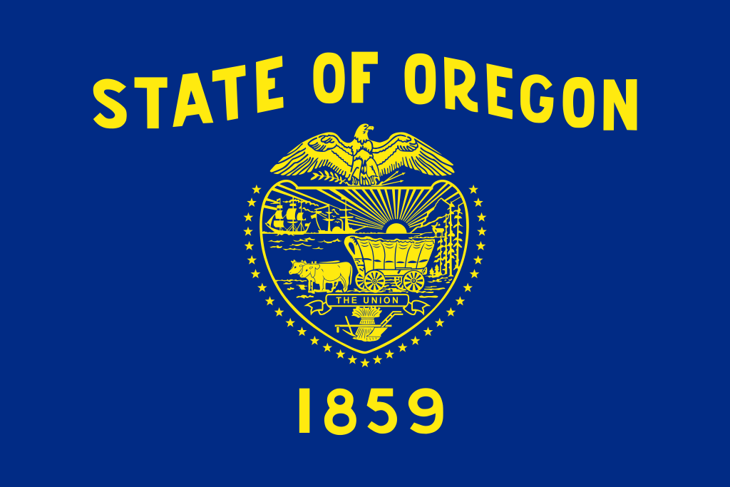 Oregon-OR
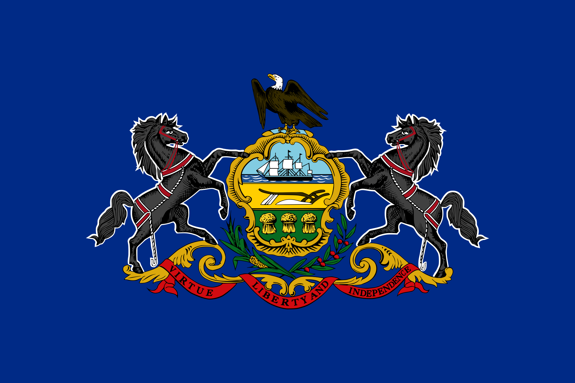 Pennsylvania-PA
 Rhode Island-RI
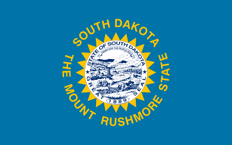 South Dakota-SD
 Tennessee-TN
 Texas-TX
 Universities in the USA
 Utah-UT
United States
Utah-UT
United States
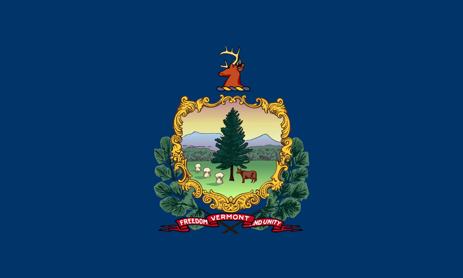 Vermont-VT
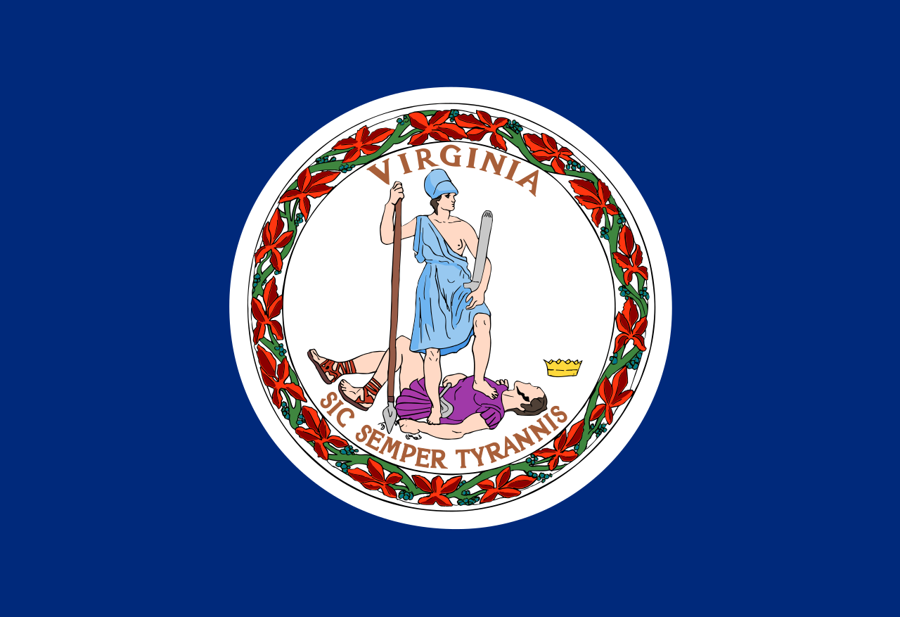 Virginia-VA
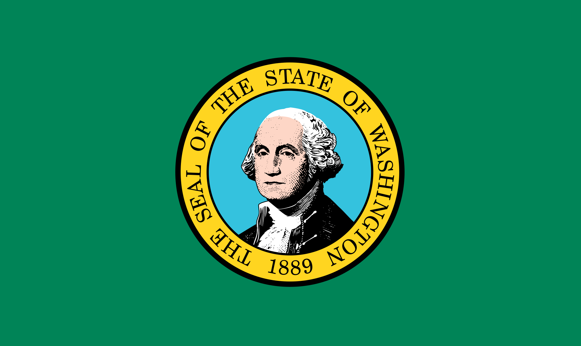 Washington-WA
 Washington, D.C.
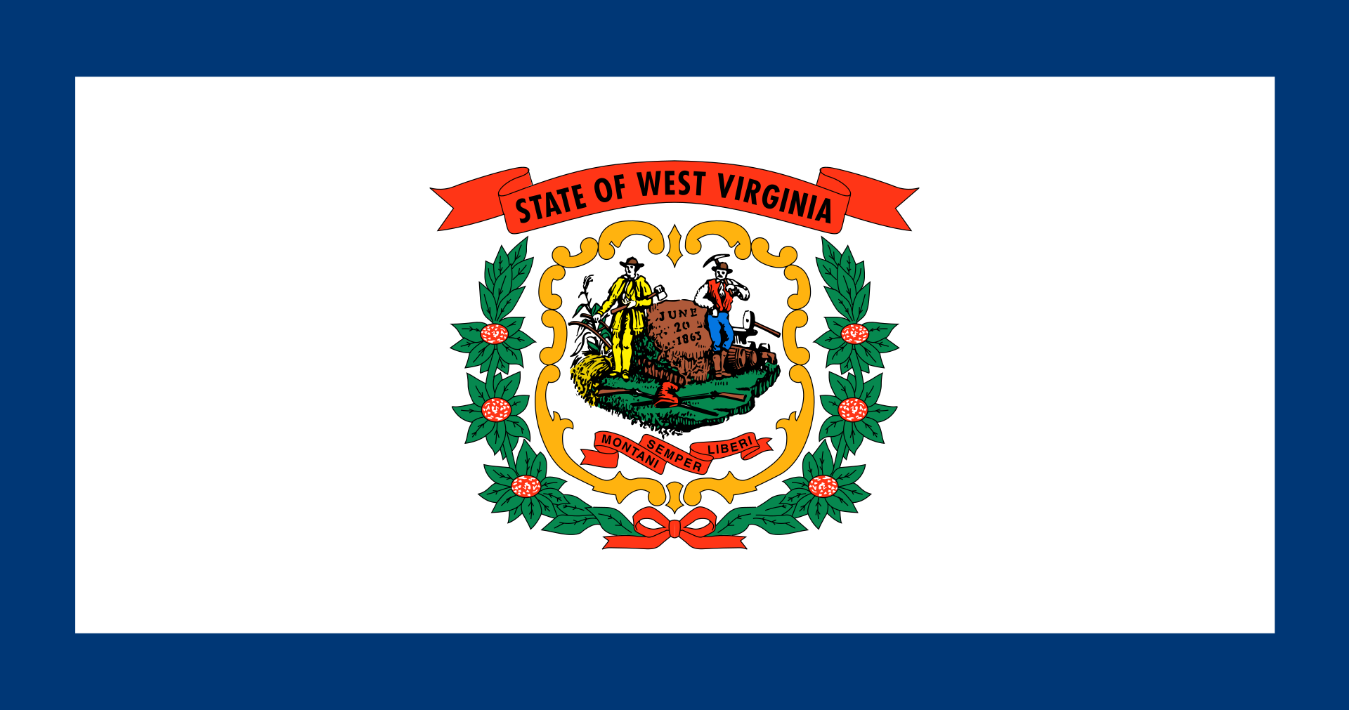 West Virginia-WV
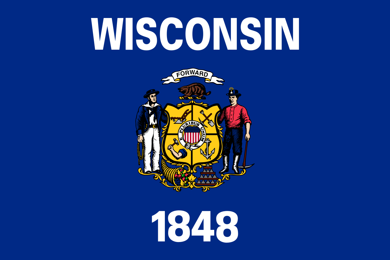 Wisconsin-WI
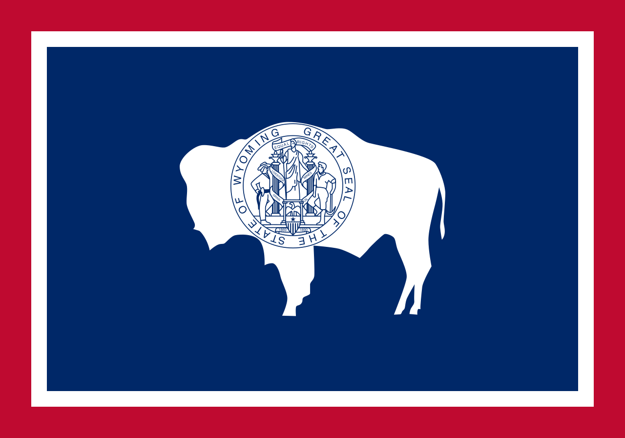 Wyoming-WY

 Ski vacation
Alabama-AL
Alaska-AK
Arizona-AZ
California-CA
Colorado-CO
Connecticut-CT
Idaho-ID
Illinois-IL
Indiana-IN
Iowa-IA
Maine-ME
Maryland-MD
Massachusetts-MA
Michigan-MI
Minnesota-MN
Missouri-MO
Montana-MT
Nevada-NV
New hampshire-NH
New jersey-NJ
New mexico-NM
New York-NY
North Carolina-NC
North Dakota-ND
Ohio-OH
Oregon-OR
Pennsylvania-PA
Rhode Island-RI
South Dakota-SD
Ski vacation
Alabama-AL
Alaska-AK
Arizona-AZ
California-CA
Colorado-CO
Connecticut-CT
Idaho-ID
Illinois-IL
Indiana-IN
Iowa-IA
Maine-ME
Maryland-MD
Massachusetts-MA
Michigan-MI
Minnesota-MN
Missouri-MO
Montana-MT
Nevada-NV
New hampshire-NH
New jersey-NJ
New mexico-NM
New York-NY
North Carolina-NC
North Dakota-ND
Ohio-OH
Oregon-OR
Pennsylvania-PA
Rhode Island-RI
South Dakota-SD
 Sport
Tennessee-TN
Texas-TX
Utah-UT
United States
Vermont-VT
Virginia-VA
Washington-WA
West Virginia-WV
Wisconsin-WI
Wyoming-WY
Sport
Tennessee-TN
Texas-TX
Utah-UT
United States
Vermont-VT
Virginia-VA
Washington-WA
West Virginia-WV
Wisconsin-WI
Wyoming-WY
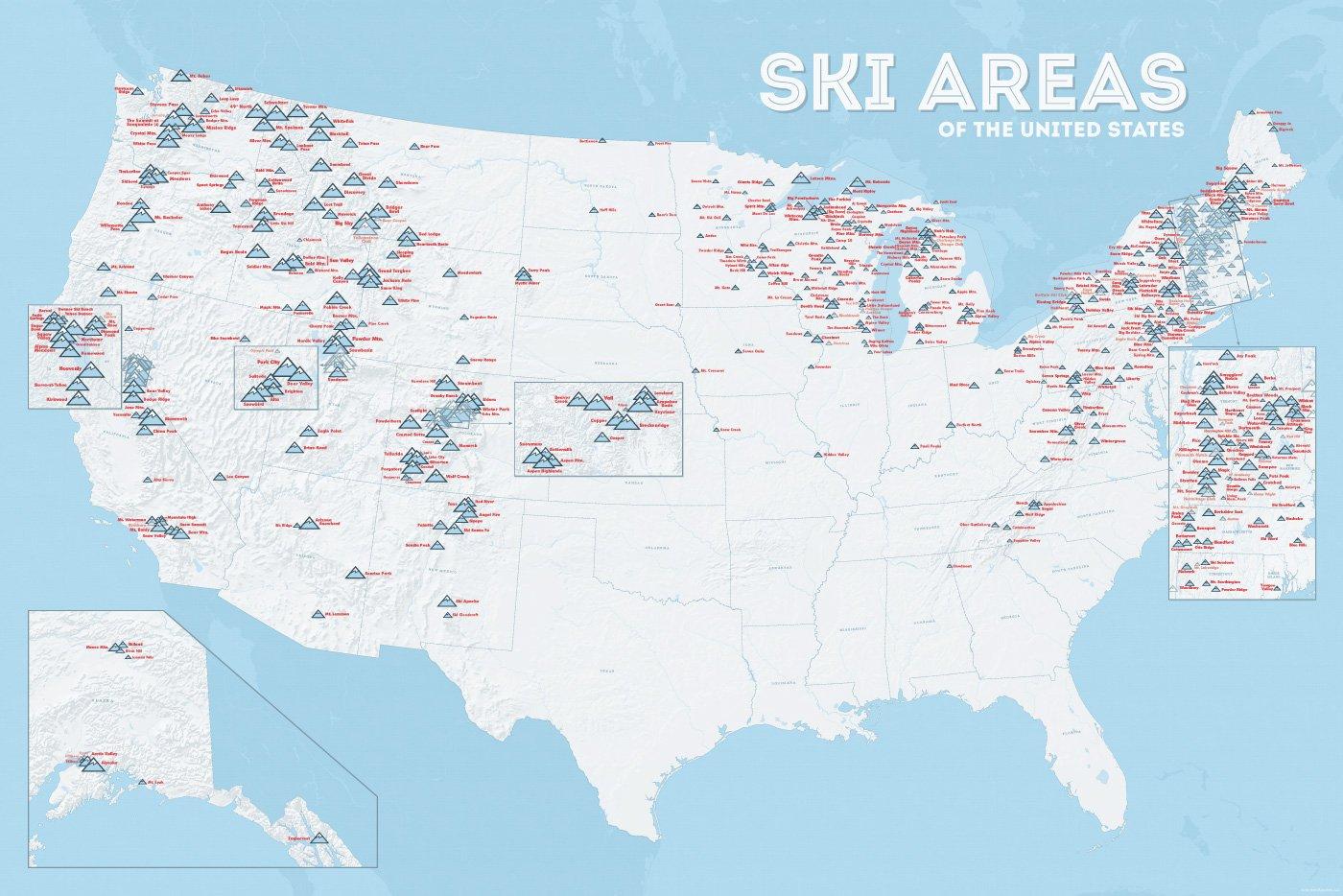
In vielen der 50 Bundesstaaten der USA gibt es Wintersportgebiete, von Maine bis nach Kalifornien. Vor allem drei große Gebirgszüge machen das Skifahren in den Vereinigten Staaten möglich: Zum einen sind dies die Rocky Mountains, die die sogenannten Mountain States durchqueren (Colorado, Nevada, Montana, Wyoming, Idaho und Utah). Die Cascades Range zieht sich von Kanada über Oregon bis hinunter nach Kalifornien. Im Osten der USA befinden sich zudem die Appalachen.
| Name | Orte im Gebiet | Staat | Seehöhe in m |
Liftanlagen1 | Pisten in km |
Weblink | |
| von | bis | ||||||
| Alta Snowbird | Snowbird | Utah | 2365 | 3350 | 1/18/0 | 150 | www.snowbird.com |
| Arapaho Basin | Colorado | 3292 | 3978 | 0/4/0 | 34 | www.arapahoebasin.com | |
| Aspen Highlands | Aspen | Colorado | 2460 | 3536 | 0/5/0 | 58 | www.aspensnowmass.com |
| Aspen Mountain | Aspen | Colorado | 2422 | 3417 | 1/7/0 | 50 | www.aspensnowmass.com |
| Aspen Butermilk | Aspen | Colorado | 2398 | 3013 | 0/5/1 | 34 | www.aspensnowmass.com |
| Aspen Snowmass | Aspen | Colorado | 2473 | 3813 | 2/13/5 | 137 | www.aspensnowmass.com |
| Beaver Creek Resort | Vail/Beaver Creek | Colorado | 2268 | 3478 | 0/15/8 | 152 | www.beavercreek.com |
| Big Sky Resort | Big Sky Village | Montana | 2072 | 3403 | 2/18/2 | 186 | www.bigskyresort.com |
| Breckenridge | Breckenridge | Colorado | 2926 | 3962 | 1/25/25 | 146 | www.snow.com |
| Deer Valley | Deer Valley | Utah | 2003 | 2918 | 1/20/0 | 105 | www.deervalley.com |
| Grand Targhee | Wyoming | 2438 | 3048 | 0/4/0 | 40 | www.grandtarghee.com | |
| Heavenly | Nevada | 1914 | 3039 | 2/17/6 | 89 | www.heavenly.com | |
| Jackson Hole Mountain | Teton Village | Wyoming | 1924 | 3185 | 3/9/0 | 150 | www.jacksonhole.com |
| Keystone | Keystone | Colorado | 2829 | 3782 | 2/16/16 | 116 | www.snow.com |
| Klamath Falls | Oregon | n/a | n/a | n/a | n/a | www.oregon.com | |
| Mammoth Mountain | Kalifornien | 2456 | 3362 | 3/23/4 | 112 | www.mammothmountain.com | |
| Park City Mountain | Park City | Utah | 2103 | 3039 | 0/15/0 | 87 | www.parkcitymountain.com |
| Squaw Valley | Squaw Valley | Kalifornien | 1886 | 2664 | 3/26/3 | 88 | www.squaw.com |
| Steamboat | Steamboat Springs | Colorado | 2097 | 3207 | 1/18/0 | 110 | www.steamboat.com |
| Telluride Skiresort | Telluride | Colorado | 2661 | 3735 | 3/11/0 | 98 | www.tellurideskiresort.com |
| The Canyons | Utah | 2061 | 3038 | 2/12/2 | 106 | www.thecanyons.com | |
| Vail | Vail | Colorado | 2450 | 3527 | 1/23/9 | 215 | www.vail.com |
 Transport and traffic
Connecticut-CT
Florida-FL
Transport and traffic
Connecticut-CT
Florida-FL
 Geography
Georgia-GA
Maine-ME
Maryland-MD
Massachusetts-MA
New hampshire-NH
New jersey-NJ
New York-NY
North Carolina-NC
Pennsylvania-PA
Rhode Island-RI
Geography
Georgia-GA
Maine-ME
Maryland-MD
Massachusetts-MA
New hampshire-NH
New jersey-NJ
New York-NY
North Carolina-NC
Pennsylvania-PA
Rhode Island-RI
 South Carolina-SC
United States
Virginia-VA
South Carolina-SC
United States
Virginia-VA
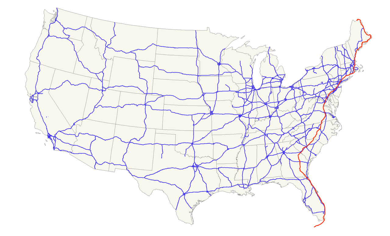
Der U.S. Highway 1 (auch U.S. Route 1 oder US 1) ist ein Highway, der parallel zur US-amerikanischen Ostküste verläuft. Die Gesamtlänge beträgt 3846 Kilometer. Im Norden endet der Highway in Fort Kent in Maine an der kanadischen Grenze. Im Süden ist es Key West an Floridas Küste zum Golf von Mexiko. Die US Route 1 verläuft an vielen Orten parallel zur Interstate 95. Festgelegt wurde sie 1926 zunächst nur zwischen der kanadischen Grenze und dem U.S. Highway 94 in Miami.
Die wichtigsten Städte, die der Highway passiert, sind Miami, Columbia, Richmond, Washington, D.C., Baltimore, Philadelphia, New York City, Boston und Portland.
Der Highway trägt die Nummer eins, weil er der am östlichsten gelegene ist und Nord-Süd-Highways von Ost nach West nummeriert werden.
 Alabama-AL
Arizona-AZ
California-CA
Florida-FL
Georgia-GA
Louisiana-LA
Massachusetts-MA
Mississippi-MS
Nevada-NV
New jersey-NJ
New mexico-NM
New York-NY
North Carolina-NC
Oklahoma-OK
Oregon-OR
Pennsylvania-PA
South Carolina-SC
Texas-TX
Companies
Utah-UT
United States
Vermont-VT
Virginia-VA
Washington-WA
Washington, D.C.
West Virginia-WV
Alabama-AL
Arizona-AZ
California-CA
Florida-FL
Georgia-GA
Louisiana-LA
Massachusetts-MA
Mississippi-MS
Nevada-NV
New jersey-NJ
New mexico-NM
New York-NY
North Carolina-NC
Oklahoma-OK
Oregon-OR
Pennsylvania-PA
South Carolina-SC
Texas-TX
Companies
Utah-UT
United States
Vermont-VT
Virginia-VA
Washington-WA
Washington, D.C.
West Virginia-WV
 Alabama-AL
Arkansas-AR
Georgia-GA
Alabama-AL
Arkansas-AR
Georgia-GA
 Agriculture, forestry, livestock, fishing
Mississippi-MS
North Carolina-NC
Oklahoma-OK
Tennessee-TN
Texas-TX
Agriculture, forestry, livestock, fishing
Mississippi-MS
North Carolina-NC
Oklahoma-OK
Tennessee-TN
Texas-TX
 Alabama-AL
Arizona-AZ
Arkansas-AR
California-CA
Colorado-CO
Connecticut-CT
Alabama-AL
Arizona-AZ
Arkansas-AR
California-CA
Colorado-CO
Connecticut-CT
 Energy resource
*Electrical power
Florida-FL
Georgia-GA
Hawaii-HI
Idaho-ID
Indiana-IN
Iowa-IA
Kentucky-KY
Louisiana-LA
Maine-ME
Maryland-MD
Massachusetts-MA
Michigan-MI
Minnesota-MN
Montana-MT
New hampshire-NH
New jersey-NJ
New York-NY
North Carolina-NC
Oklahoma-OK
Oregon-OR
Pennsylvania-PA
South Carolina-SC
Texas-TX
United States
Vermont-VT
Virginia-VA
Washington-WA
Wisconsin-WI
Energy resource
Energy resource
*Electrical power
Florida-FL
Georgia-GA
Hawaii-HI
Idaho-ID
Indiana-IN
Iowa-IA
Kentucky-KY
Louisiana-LA
Maine-ME
Maryland-MD
Massachusetts-MA
Michigan-MI
Minnesota-MN
Montana-MT
New hampshire-NH
New jersey-NJ
New York-NY
North Carolina-NC
Oklahoma-OK
Oregon-OR
Pennsylvania-PA
South Carolina-SC
Texas-TX
United States
Vermont-VT
Virginia-VA
Washington-WA
Wisconsin-WI

| Last Modified on November 21, 2022 *Capacity noted in (MW) |
| Plant | Location | Feedstock | Capacity |
|---|---|---|---|
| Agrilectric Power Partners Ltd. | LA | Rice hulls | 12.00 |
| Albany Green Energy | GA | Forest residue, urban wood waste, pecan shells, peanut hulls | 50.00 |
| Allendale Biomass | SC | Mill/forestry residue | 20.00 |
| Altavista Power Station | VA | Woody biomass | 51.00 |
| Arnold O. Chantland Incineration Plant | IA | MSW/Refused-derived fuel (RDF) | 4.00 |
| Barron County Waste-to-Energy & Recycling Facility | WI | MSW | 2.00 |
| Bay Front Power Plant | WI | Wood waste | 56.00 |
| Biomass One | OR | Logging/wood debris | 30.00 |
| Bridgewater Power LP | NH | Woody biomass | 20.00 |
| Buckeye Florida Biomass | FL | Wood waste, black liquor | 69.40 |
| Burgess BioPower | NH | Wood waste | 75.00 |
| Burney Forest Power | CA | Wood waste | 31.00 |
| Cadillac Renewable Energy | MI | Forest residue | 40.00 |
| City of Spokane Waste to Energy Facility | WA | MSW | 22.00 |
| Collins Pine Co. Power Plant | CA | Forest thinnings/residue | 12.00 |
| Covanta Alexandria | VA | MSW | 22.00 |
| Covanta Babylon | NY | MSW | 17.00 |
| Covanta Bristol | CT | MSW | 16.00 |
| Covanta Camden | NJ | MSW | 21.00 |
| Covanta Dade | FL | MSW, wood waste | 77.00 |
| Covanta Delaware Valley | PA | MSW | 87.00 |
| Covanta Essex | NJ | MSW | 66.00 |
| Covanta Fairfax | VA | MSW | 93.00 |
| Covanta Harrisburg | PA | MSW | 21.00 |
| Covanta Haverhill | MA | MSW | 45.00 |
| Covanta Hempstead | NY | MSW | 72.00 |
| Covanta Hillsborough | FL | MSW | 47.00 |
| Covanta Honolulu | HI | MSW | 90.00 |
| Covanta Huntington | NY | MSW | 24.00 |
| Covanta Indianapolis | IN | MSW | 6.50 |
| Covanta Kent | MI | MSW | 17.00 |
| Covanta Lake | FL | MSW | 15.00 |
| Covanta Lancaster | PA | MSW | 33.00 |
| Covanta Lee | FL | MSW | 57.00 |
| Covanta Long Beach | CA | MSW | 36.00 |
| Covanta MacArthur | NY | MSW | 12.00 |
| Covanta Marion | OR | MSW | 13.00 |
| Covanta Montgomery | MD | MSW | 63.00 |
| Covanta Niagara | NY | MSW | 50.00 |
| Covanta Onondaga | NY | MSW | 39.00 |
| Covanta Palm Beach Renewable Energy #1 | FL | MSW | 62.00 |
| Covanta Palm Beach Renewable Energy #2 | FL | MSW | 95.00 |
| Covanta Pasco | FL | MSW | 30.00 |
| Covanta Pinellas | FL | MSW | 75.00 |
| Covanta Plymouth | PA | MSW | 32.00 |
| Covanta SECONN | CT | MSW | 17.00 |
| Covanta SEMASS | MA | MSW | 78.00 |
| Covanta Stanislaus | CA | MSW | 22.00 |
| Covanta Tulsa | OK | MSW | 17.00 |
| Covanta Union | NJ | MSW | 42.00 |
| Covanta York | PA | MSW | 42.00 |
| Cox Waste-to-Energy | KY | Wood waste | 5.00 |
| Craven County Wood Energy | NC | Wood chips, forestry residue, mill waste, bark, sawdust, poultry litter | 50.00 |
| Deerhaven Renewable Generating Station | FL | Wood waste | 102.50 |
| Desert View Power | CA | Woody biomass | 45.00 |
| DG Fairhaven Power | CA | Wood waste | 18.00 |
| Dillard Complex Cogeneration Plant | OR | Mill residue | 51.50 |
| Dorchester Biomass | SC | Mill/forestry residue | 20.00 |
| Douglas County Forest Products | OR | Wood residue | 6.00 |
| DTE Stockton Biomass Power | CA | Woody biomass, ag residue | 45.00 |
| Eagle Valley Clean Energy | CO | Forest restoration thinnings/residue | 12.00 |
| Ecomaine Waste-to-Energy Plant | ME | MSW | 14.00 |
| Evergreen Biopower LLC | OR | Mill residue | 10.00 |
| Fernandina Biomass Plant | FL | Mill residuals | 22.50 |
| French Island Generating Station | WI | MSW/RDF, wood waste, railroad ties | 28.00 |
| Genesee Power Station | MI | Landscaping/storm debris, waste wood | 40.00 |
| Grayling Generating Station | MI | Forestry residue, mill waste, bark | 38.00 |
| Green Energy Team LLC | HI | Eucalyptus, albizia | 7.50 |
| GRP-Franklin LLC | GA | C&D waste | 65.00 |
| GRP-Madison LLC | GA | C&D waste | 65.00 |
| Halifax County Biomass Plant | VA | Logging waste, forest slash | 49.90 |
| Hennepin Energy Recovery Center | MN | MSW | 40.00 |
| Hillman Power LLC | MI | Wood waste | 20.00 |
| Honey Lake Power | CA | High-hazard forest material/thinnings | 30.00 |
| Hopewell Power Station | VA | Woody biomass | 51.00 |
| Joseph C McNeil Generating Station | VT | Logging residue, bark, shavings, clean urban wood waste | 50.00 |
| Kapstone Kraft Paper Corp.-Longview | WA | Mill residue, wood waste | 25.00 |
| Kettle Falls Generating Station | WA | Logging/mill residue | 53.00 |
| Koda Energy LLC | MN | Oat/rice hulls, corn, barley and malt screening, urban tree waste | 23.40 |
| L'Anse Warden Electric Company | MI | Wood waste, railroad ties | 20.00 |
| M.L. Hibbard Energy Center | MN | Wood waste | 72.80 |
| Macon Mill | GA | Logging waste | 38.00 |
| McKay Bay Refuse-to-Energy Plant | FL | MSW | 22.00 |
| McKinley Paper Cogeneration Facility | WA | Logging/mill residue | 9.50 |
| Merced Power | CA | Ag waste | 12.50 |
| MMWAC Resource Recovery Facility | ME | MSW | 5.00 |
| Mt. Poso Cogeneration Co. LLC | CA | Wood waste | 44.00 |
| Multitrade Rabun Gap | GA | Woody biomass | 18.00 |
| National Energy-Lincoln | MI | Wood waste | 18.00 |
| National Energy-McBain | MI | Wood waste | 18.00 |
| North Carolina Renewable Power | NC | C&D waste, wood waste, poultry litter | 22.00 |
| North Fork Community Power | CA | High-hazard forest material | 2.00 |
| Novo BioPower LLC | AZ | Wood waste | 27.00 |
| Okeelanta Biomass Cogeneration | FL | Baggasse, natural gas | 74.90 |
| Olmsted Waste-To-Energy Facility | MN | MSW | 9.60 |
| Oswego Energy Recovery Facility | NY | MSW | 4.00 |
| Pacific Ultrapower Chinese Station | CA | Woody biomass | 25.00 |
| Penobscot Energy Recovery | ME | MSW | 25.00 |
| Piedmont Green Power | GA | Urban wood waste, mill and logging residue | 55.00 |
| Plainfield Renewable Energy | CT | C&D/forestry waste | 37.50 |
| Plummer Cogen | ID | Wood waste | 6.20 |
| Potlatch Land & Lumber Power Plant | AR | Bark, sawdust, shavings | 10.00 |
| Rapids Energy Center | MN | Logging/mill residue | 28.60 |
| Red Wing Generating Station | MN | MSW/RDF | 22.00 |
| ReEnergy Black River | NY | Woody biomass | 60.00 |
| ReEnergy Livermore Falls | ME | Forest residue, C&D waste | 39.00 |
| ReEnergy Stratton | ME | Forest/mill residue | 48.00 |
| Resolute Forest Products Coosa Pines | AL | Wood-processing waste | 30.00 |
| Rio Bravo Fresno | CA | Ag/urban wood waste | 24.30 |
| Rio Bravo Rocklin | CA | High-hazard forest material, ag/urban waste | 24.40 |
| RockTenn-Tacoma Mill | WA | Mill residue | 55.00 |
| Roseburg Forest Products Biomass | CA | Wood waste | 13.00 |
| Rothschild Biomass Cogeneration Plant | WI | Urban wood waste, mill residue | 50.00 |
| Savannah River Site Biomass Cogeneration Facility | SC | Forest residue | 20.00 |
| Scotia Cogen | CA | Wood waste | 28.00 |
| SDS Lumber Gorge Energy Division | WA | Logging/mill residue | 10.00 |
| Shasta-Sustainable Resource Management | CA | Wood waste, forest residue | 56.00 |
| Southampton Power Station | VA | Woody biomass | 51.00 |
| Southern Co. Nacogdoches Generating Facility | TX | Forest/wood processing residue | 115.00 |
| SPI-Aberdeen Biomass Power | WA | Logging/mill residue | 18.00 |
| SPI-Anderson Biomass Power | CA | Logging/mill residue | 30.00 |
| SPI-Burlington Biomass Power | WA | Logging/mill residue | 28.00 |
| SPI-Burney | CA | Logging/mill residue | 20.00 |
| SPI-Eugene | OR | Mill, forest residue | 19.80 |
| SPI-Lincoln Biomass Power | CA | Logging/mill residue | 18.00 |
| SPI-Quincy Biomass Power | CA | Mill residue | 35.20 |
| SPI-Sonora Biomass Power | CA | Logging/mill residue | 10.90 |
| St. Paul Cogeneration LLC | MN | Urban wood residue | 33.00 |
| Stoltze Cogeneration Power Plant | MT | Mill residue | 3.00 |
| Stored Solar Bethlehem | NH | Logging residue, forest thinnings | 20.00 |
| Stored Solar Fitchburg | MA | Woody biomass | 17.00 |
| Stored Solar Jonesboro | ME | Woody biomass | 25.00 |
| Stored Solar Ryegate | VT | Woody biomass | 20.00 |
| Stored Solar Springfield | NH | Woody biomass | 19.00 |
| Stored Solar Tamworth | NH | Woody biomass | 20.00 |
| Stored Solar West Enfield | ME | Woody biomass | 25.00 |
| Stored Solar Whitefield | NH | Woody biomass | 15.00 |
| Telogia Power | FL | Logging/mill residue, hog fuel, peanut hulls | 14.00 |
| U.S. Sugar Corp. Cogeneration Plant | FL | Bagasse | 50.00 |
| Virginia City Hybrid Energy Center | VA | *Woody biomass | 120.00 |
| Wadham Energy LP | CA | Rice hulls | 30.00 |
| Westervelt Renewable Energy Moundville | AL | Wood waste | 13.00 |
| WestRock Covington | VA | Logging, papermaking residue | 75.00 |
| Wheelabrator Baltimore | MD | MSW | 64.50 |
| Wheelabrator Bridgeport | CT | MSW | 67.00 |
| Wheelabrator Concord | NH | MSW | 14.00 |
| Wheelabrator Dutchess County | NY | MSW | 9.00 |
| Wheelabrator Falls | PA | MSW | 53.00 |
| Wheelabrator Gloucester | NJ | MSW | 14.00 |
| Wheelabrator Hudson Falls | NY | MSW | 14.00 |
| Wheelabrator Lisbon | CT | MSW | 15.00 |
| Wheelabrator Millbury | MA | MSW | 48.00 |
| Wheelabrator North Andover | MA | MSW | 40.00 |
| Wheelabrator Portsmouth | VA | MSW | 60.00 |
| Wheelabrator Saugus | MA | MSW | 54.00 |
| Wheelabrator South Broward | FL | MSW | 66.00 |
| Wheelabrator Westchester LP | NY | MSW | 60.00 |
| Wilmarth Generating Station | MN | MSW/RDF, woody biomass | 18.00 |
| Woodland Biomass Power | CA | Wood chips, urban wood waste, ag waste | 25.00 |
| Total Plants: 159 | Total capacity(MW): | 5,583.90 |
 Architecture
 Alabama-AL
Alaska-AK
Delaware-DE
Florida-FL
Geography
Georgia-GA
Kentucky-KY
Louisiana-LA
Maryland-MD
Mississippi-MS
North Carolina-NC
Oklahoma-OK
South Carolina-SC
Tennessee-TN
Texas-TX
Virginia-VA
West Virginia-WV
Alabama-AL
Alaska-AK
Delaware-DE
Florida-FL
Geography
Georgia-GA
Kentucky-KY
Louisiana-LA
Maryland-MD
Mississippi-MS
North Carolina-NC
Oklahoma-OK
South Carolina-SC
Tennessee-TN
Texas-TX
Virginia-VA
West Virginia-WV

Die Südstaaten sind eine Großregion im Südosten der USA. Nach der geografisch orientierten Definition des United States Census Bureau bestehen die Südstaaten aus insgesamt 16 Staaten mit knapp 100 Millionen Einwohnern auf 2.384.143 km². Es handelt sich um jene 15 eher östlichen Bundesstaaten, die südlich der Mason-Dixon-Linie, der Grenze zwischen Pennsylvania und Maryland, liegen und in denen bis 1865 die Sklavenhaltung erlaubt war, sowie Oklahoma, das erst 1907 gegründet wurde.
美国南部(英语:Southern United States,或 American South)也经常被简称为美南、迪克西、或直接称为南部,构成了美国南部至东南部的一片广大地区。这个地区带有相当特殊的文化和历史背景,包括了早期欧洲殖民时期留下的痕迹、对于州权原则的坚持、早期的奴隶制度、以及在联盟国分离时于美国内战中受到的冲击,该地发展出了美国其他地区相异的独特文学、音乐、料理等文化传统。