
Deutsch-Chinesische Enzyklopädie, 德汉百科
 Normandie


鲁昂(法语:Rouen,法语:[ʁwɑ̃] ( 聆听)或[ʁuɑ̃]),法国西北部城市,诺曼底大区滨海塞纳省的一个市镇,同时也是所在大区的首府及所在省的省会,下辖鲁昂区[1]。鲁昂位于滨海塞纳省中南部,塞纳河两岸[2],其市镇面积为21.38平方公里,2019年1月1日时的人口数量为112,321人,在法国城市中排名第37位,是诺曼底地区的第二大城市,仅次于勒阿弗尔,超过卡昂。
鲁昂是法国艺术与历史之城,自高卢-罗马时期起便已成为塞纳河下游的中心城市,中世纪时成为诺曼底公国的首府,英法百年战争时期法兰西民族英雄圣女贞德在此就义,二战时期鲁昂遭到严重破坏,后恢复重建,并发展成为法国重要的重工业城市、科教中心和交通枢纽。
Rouen [ʀwɑ̃] ( Hörbeispiel?/i, lateinisch Rothomagus, altfränkisch/althochdeutsch Rodomo, Rudaburg, altenglisch Roðem, altnordisch Ruþaborg) ist eine Gemeinde und Hafenstadt mit 112.321 Einwohnern (Stand 1. Januar 2019) im Norden Frankreichs. Sie ist der Sitz der Präfektur des Départements Seine-Maritime, der Region Normandie und des Erzbistums Rouen, Primas der Normandie[1] und des Kommunalverbands Métropole Rouen Normandie.

 Bourgogne

 Bourgogne-Franche-Comté
 Champagne-Ardenne
 France

 Grand Est

 Ile-de-France

 Normandie

 2024 Summer Olympics
 Seine
Seine

 World Heritage


塞纳河主流源头位于勃艮第地区,科多尔省的首府第戎西北30公里的朗格勒高原,流经奥布省的首府特鲁瓦,穿过巴黎市中心,经过诺曼底的鲁昂,到达勒阿弗尔入海,流入拉芒什海峡(英语称为英吉利海峡)。
北部支流有马恩河、瓦兹河、奥布河;南部支流有约纳河、厄尔河。通过17世纪-18世纪修建的运河,可以沟通莱茵河的支流默兹河,法国南部主要河流罗讷河的支流索恩河,以及法国第一大河卢瓦尔河,吃水浅的船只可以直接航行到比利时、德国和地中海。上游马恩河和奥布河流域是香槟酒的主要产区。
塞纳河流域地势平坦,从巴黎到河口365公里,坡降只有24米,因此水流缓慢,利于航行。整个流域降水量为630-760毫米,平均流量为280立方米/秒,夏季水位低,冬季水位高,和中国的情况相反。上游建有几座水库,调节流量,但主要是为下游城市用水蓄水,巴黎的1/2用水,勒阿弗尔和鲁昂的3/4用水,都来自塞纳河。
Die Seine ([sɛn]; auf Französisch; lateinisch/keltisch Sequana) ist ein Fluss in Nordfrankreich. Sie entspringt in der Region Bourgogne-Franche-Comté, fließt von Osten nach Westen und mündet bei Le Havre in den Ärmelkanal. Mit 777 Kilometern[2] Länge ist sie neben der Loire (1004 Kilometer) und den ineinander übergehenden Flussverläufen von Doubs, Saône und Rhône (insgesamt 1025 Kilometer) einer der längsten Flüsse Frankreichs. Das Einzugsgebiet der Seine umfasst etwa 78.650 km².
Wichtige Städte an der Seine sind Paris, Troyes und Rouen. In Paris und Rouen befinden sich die wichtigsten Binnenhäfen Frankreichs. Über Kanäle ist die Seine mit Schelde, Maas, Rhein, Saône und Loire verbunden. Am Unterlauf des Flusses im Gebiet der Normandie haben sich für einen Fluss dieser Wasserführung außergewöhnlich große Talschleifen gebildet. Die schiffbare Länge (bis Nogent-sur-Seine) beträgt 560 km. Seeschiffe können den Fluss bis Rouen (120 km im Landesinneren) befahren.
Das Seineufer von Paris steht auf der Liste des Weltkulturerbes der UNESCO.
セーヌ川(セーヌがわ、Seine)は、フランスを流れる河川である。流域も全体がフランスに属している。全長780kmは、フランスではロワール川に続いて第二の長さ[1]である。
ディジョンの北西30kmの海抜471mの地点に源を発し北西に向かい、パリを流れ、ル・アーヴルとオンフルールの間のセーヌ湾に注ぐ。
中下流部は大きく蛇行した流れが特徴で、パリを抜けるあたりから何度も繰り返す。ジヴェルニー、ヴェルノンの付近は、しばらく治まるが、ルーアンの近辺で再び蛇行が始まる。
河口付近の川幅は大きく広がっており、湾と言っても差し支えないほどである。ル・アーヴルとオンフルールの間に、1995年にノルマンディー橋が完成するまでは、両市の陸上交通は、さらに20kmほど上流のタンカルヴィル橋まで遡らなければならなかった。
The Seine (/seɪn/ SAYN, French: [sɛːn] (![]() listen)) is a 777-kilometre-long (483 mi) river and an important commercial waterway within the Paris Basin in the north of France. It rises at Source-Seine, 30 kilometres (19 mi) northwest of Dijon in northeastern France in the Langres plateau, flowing through Paris and into the English Channel at Le Havre (and Honfleur on the left bank).[1] It is navigable by ocean-going vessels as far as Rouen, 120 kilometres (75 mi) from the sea. Over 60 percent of its length, as far as Burgundy, is negotiable by commercial riverboats, and nearly its whole length is available for recreational boating; excursion boats offer sightseeing tours of the river banks in Paris, lined with top monuments including Notre-Dame, the Eiffel Tower, the Louvre Museum and Musée d'Orsay.[2]
listen)) is a 777-kilometre-long (483 mi) river and an important commercial waterway within the Paris Basin in the north of France. It rises at Source-Seine, 30 kilometres (19 mi) northwest of Dijon in northeastern France in the Langres plateau, flowing through Paris and into the English Channel at Le Havre (and Honfleur on the left bank).[1] It is navigable by ocean-going vessels as far as Rouen, 120 kilometres (75 mi) from the sea. Over 60 percent of its length, as far as Burgundy, is negotiable by commercial riverboats, and nearly its whole length is available for recreational boating; excursion boats offer sightseeing tours of the river banks in Paris, lined with top monuments including Notre-Dame, the Eiffel Tower, the Louvre Museum and Musée d'Orsay.[2]
There are 37 bridges within Paris and dozens more spanning the river outside the city. Examples in Paris include the Pont Alexandre III and Pont Neuf, the latter of which dates back to 1607. Outside the city, examples include the Pont de Normandie, one of the longest cable-stayed bridges in the world, which links Le Havre to Honfleur.
La Seine (prononcé [ˈsɛn]) est un fleuve français, long de 776,6 kilomètres1, qui coule dans le Bassin parisien et arrose notamment Troyes, Paris, Rouen et Le Havre. Sa source se situe à 446 m d'altitude2 à Source-Seine, en Côte-d'Or, sur le plateau de Langres. Son cours a une orientation générale du sud-est au nord-ouest. La Seine se jette dans la Manche entre Le Havre et Honfleur. Son bassin versant, d'une superficie de 79 000 km23, englobe près de 30 % de la population du pays.
La Senna (in francese Seine /sɛn/) è uno dei principali fiumi della Francia. La lunghezza approssimativa del fiume è di 776,6 km,[1] le sue fonti sono in Borgogna, a 470 m d'altezza, a Saint-Germain-Source-Seine sull'altopiano di Langres, e la foce è nella Manica, a Nord della Francia, presso Le Havre.
El río Sena (en francés, Seine) es un largo río europeo de la vertiente atlántica que discurre únicamente por Francia. Con una longitud de casi 776 km es el tercero más largo del país — tras el Loira y el Ródano (que es más largo, pero una parte discurre por Suiza. Drena una cuenca de 78 650 km², la 3.ª del país y casi un séptimo del territorio francés. Tiene sus fuentes en varios manantiales a 470 msnm en la meseta de Langres, en el departamento de Côte-d'Or, en la región de Borgoña y desemboca en un amplio estuario en El Havre, en la bahía del Sena.
Administrativamente, recorre cuatro regiones francesas —Borgoña-Franco Condado, Gran Este, Île-de-France y Normandía]— y catorce departamentos —Côte-d'Or, Aube, Marne, Seine-et-Marne, Essonne, Val-de-Marne, Paris, Hauts-de-Seine, Seine-Saint-Denis, Val-d'Oise, Yvelines, Eure, Sena Marítimo y Calvados—, de los que cuatro llevan su nombre.
Atraviesa algunas ciudades importantes —Troyes, Melun, Ruan— y especialmente la capital, París, que se ha desarrollado sobre sus dos márgenes, y en la que los recorridos en los típicos bateaux mouches son una atracción turística. Hay treinta y siete puentes parisinos que atraviesan el río, como el Pont Louis-Philippe y el Pont Neuf, este último erigido ya en año 1607. Cerca del estuario está el puente de Normandía, uno de los más largos puentes atirantados del mundo, que une El Havre con Honfleur.


 Auvergne-Rhône-Alpes

 Bourgogne-Franche-Comté

 Bretagne

 Centre-Val de Loire
 France

 Grand Est

 Hauts-de-France

 Ile-de-France
 Languedoc-Roussillon-Midi-Pyrénées

 Normandie

 Nouvelle-Aquitaine

 Occitania

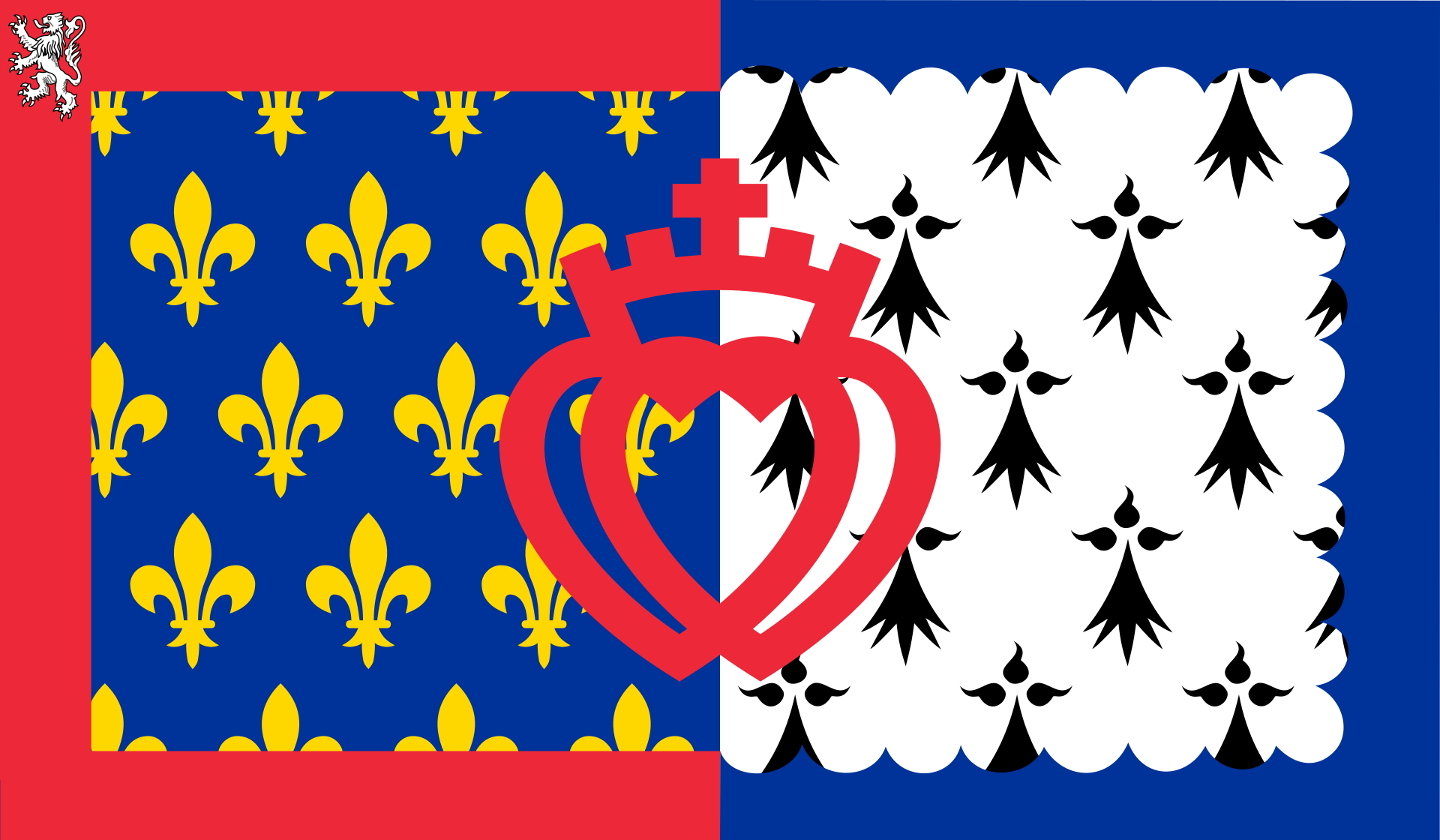 Pays-de-la-Loire

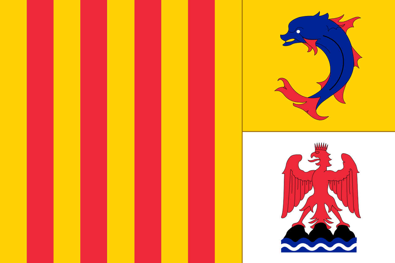 Provence-Alpes-Côte d´Azur

 Transport and traffic

 Transport and traffic
 High speed traffic


 Auvergne-Rhône-Alpes

 Bourgogne-Franche-Comté

 Bretagne

 Centre-Val de Loire

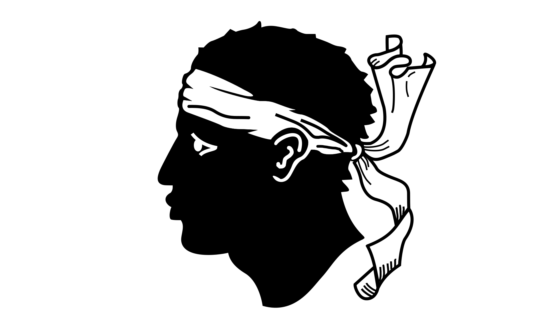 Corse
Corse
 Franche-Comté
 France

 Grand Est

 Hauts-de-France

 Ile-de-France

 Normandie

 Normandie

 Normandie

 Nouvelle-Aquitaine

 Occitania

 2024 Summer Olympics

 Pays-de-la-Loire

 Provence-Alpes-Côte d´Azur

 Transport and traffic
 High speed traffic


 Architecture
 Animal world
 International cities
 Geography
 Sport
Sport
 History
 Review
 Science and technology
 Religion
 Art
Art
 Music
Music