
漢德百科全書 | 汉德百科全书
 Argentina

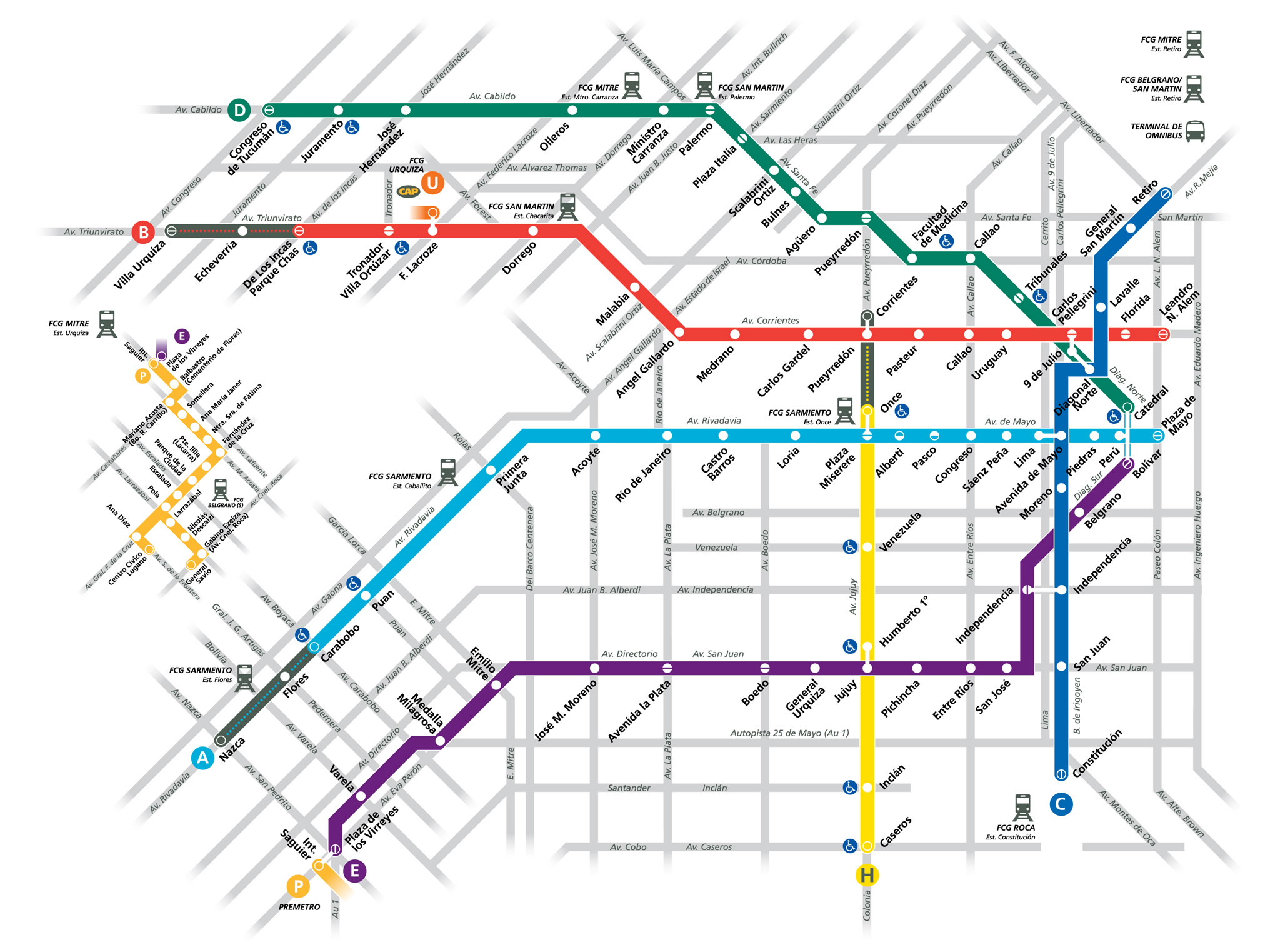


Buenos Aires [ˈbwenos ˈai̯ɾes] (frühere Schreibweise Buenos Ayres; offiziell Ciudad Autónoma de Buenos Aires/Autonome Stadt Buenos Aires) ist die Hauptstadt und Primatstadt, also das politische, kulturelle, kommerzielle und industrielle Zentrum Argentiniens. Ihre Gründer benannten sie nach der Heiligen Santa María del Buen Ayre (spanisch für Heilige Maria der Guten Luft).[2]
Die offiziell nur 202 Quadratkilometer große Stadt bildet den Kern einer der größten Metropolregionen Südamerikas, des Gran Buenos Aires mit etwa 13 Millionen Einwohnern. Sie streckt sich heute rund 68 Kilometer von Nordwest nach Südost und etwa 33 Kilometer von der Küste nach Südwesten aus. Sie wird oft als „Wasserkopf“ Argentiniens bezeichnet, da sich hier fast alle wichtigen Institutionen des Landes befinden und in der Stadt und vor allem in der Umgebung etwa ein Drittel aller Argentinier wohnt. Zudem ist sie als einzige Stadt Argentiniens als „Capital Federal“ autonom, also nicht an eine bestimmte Provinz gebunden. Sie ist ein wichtiges kulturelles Zentrum und wurde 2005 durch die UNESCO mit dem Titel Stadt des Designs ausgezeichnet.[3]
布宜诺斯艾利斯(西班牙语:Buenos Aires,意为“好空气”或“顺风”)简称BA,华人常略称为布宜诺斯或布宜诺。阿根廷政治、经济中心,也是阿根廷最大城市、首都及第一大港。布宜诺斯艾利斯是拉丁美洲第三大都市,都市区拥有1300万人口,素有“南方巴黎”之美称。刚独立时只是小城市,但自从Sarmiento的欧洲化、现代化的政策实施后,吸引了许多意大利、西班牙的移民,成为中南美最欧洲化的城市。七月九日大道(La Avenida 9 de Julio)是世界最宽的马路,有约130米宽(超过16线道)。有名的阿根廷探戈是从这个城市的boca地区发源。
布宜诺斯艾利斯的对面就是乌拉圭,布宜诺斯艾利斯生产总值非常的高,占据阿根廷约一半的GDP,生活水平也是阿根廷最高的。阿根廷布宜诺斯艾利斯拥有很多的美丽风景区,被评为世界第三美丽城市。
布宜诺斯艾利斯自治市(西班牙语:Ciudad Autónoma de Buenos Aires,简称:西班牙语:C.A.B.A.,意为“好空气”),当地华人常略称为布宜诺市或布市,旧译佳气城或布诺赛尔,是阿根廷的首都和最大城市,位于拉普拉塔河(直译:银之河)南岸、南美洲东南岸、对岸为乌拉圭(东方)。2014年,在大布宜诺斯艾利斯地区(Gran Buenos Aires)有常住人口17,180,000[4],是拉丁美洲第二大都会区,仅次于大圣保罗地区(2012年19,956,590人)。布宜诺斯艾利斯为拉丁美洲最欧洲化的城市。七月九日大道是世界最宽的马路,有约130米宽(超过16车道)。有名的阿根廷探戈的发源地就在布市的博卡区(La Boca)。 布宜诺斯艾利斯名字的起源颇有争议,西班牙探险家佩卓·门多萨为了纪念圣母玛丽亚(为美洲大多数的西班牙探险家故乡安达卢西亚和地中海国家水手守护圣人)将这座空气清新的城市称为布宜艾利的圣母玛利亚(Santa María del Buen Aire,“布宜艾利”在西班牙语中是“空气清新”的意思)。
ブエノスアイレス(西: Buenos Aires)は、人口289万人(2010年)[1]を擁するアルゼンチンの首都である[2]。
どの州にも属しておらずブエノスアイレス自治市[3]とも呼ばれる(なお、1880年の首都令以来、ブエノスアイレス州の州都はラ・プラタ市である)。大ブエノスアイレス都市圏の都市圏人口は2016年時点で1,428万人であり、世界第21位である[4]。建国以来アルゼンチンの政治、経済、文化の中心である。アルゼンチンの縮図ともなっている一方で、内陸部との差異が大きすぎるため、しばしば「国内共和国」と呼ばれる。
「南米のパリ」の名で親しまれ[5][6]、南米の中で美しい町の1つとして数えられる。
ラ・プラタ川(Río de la Plata スペイン語で「銀の川」の意)に面しており、対岸はウルグアイのコロニア・デル・サクラメント。
意味はスペイン語で「buenos(良い)aires(空気、風)」の意。船乗りの望む「順風」が街の名前になったものである。
独立当時は「偉大な田舎」と呼ばれる人口5万人程の小さな町だったが、サルミエント (Sarmiento) 政権による欧州化、文明化政策の実施以降数多くの移民がイタリア・スペインなどから渡来し、中南米の中でも最も欧州的な街になった。
かつて南米随一の豊かさを誇ったアルゼンチンの首都として、20世紀において長らくブエノスアイレスは南米最大級の都市であった[7]。1970年代以降のアルゼンチン経済の悪化に伴い、南米最大の都市はブラジルのサンパウロに移ってしまったものの、現在でもブエノスアイレスはスペイン語圏の都市として重要性を保ち、アメリカのシンクタンクが2019年に発表した世界都市ランキングでは24位に評価され、南米の都市の中で首位であった[8]。
かの有名なアルゼンチン・タンゴはこの街のボカ地区で育った。また、サッカーが盛んなことでも有名で、ディエゴ・マラドーナが在籍したボカ・ジュニアーズやCAリーベル・プレートなど名門チームを数多く擁する。
市民はポルテーニョ(porteño, 女性はポルテーニャporteña; 港の人、港っ子の意)と呼ばれる[9]。
Buenos Aires (/ˌbweɪnəs ˈɛəriːz/ or /-ˈaɪrɪs/;[9] Spanish pronunciation: [ˈbwenos ˈajɾes])[10], officially Autonomous City of Buenos Aires, of is the capital and largest city of the Republic Argentina. The city is located on the western shore of the estuary of the Río de la Plata, on the South American continent's southeastern coast. "Buenos Aires" can be translated as "fair winds" or "good airs", but the former was the meaning intended by the founders in the 16th century, by the use of the original name "Real de Nuestra Señora Santa María del Buen Ayre", named after the Madonna of Bonaria in Sardinia. The Greater Buenos Aires conurbation, which also includes several Buenos Aires Province districts, constitutes the fourth-most populous metropolitan area in the Americas, with a population of around 15.6 million.[7]
The city of Buenos Aires is neither part of Buenos Aires Province nor the Province's capital; rather, it is an autonomous district. In 1880, after decades of political infighting, Buenos Aires was federalized and removed from Buenos Aires Province.[11] The city limits were enlarged to include the towns of Belgrano and Flores; both are now neighborhoods of the city. The 1994 constitutional amendment granted the city autonomy, hence its formal name of Autonomous City of Buenos Aires (Ciudad Autónoma de Buenos Aires; "CABA"). Its citizens first elected a chief of government (i.e. mayor) in 1996; previously, the mayor was directly appointed by the President of the Republic.
Buenos Aires' quality of life was ranked 91st in the world in 2018, being one of the best in Latin America.[12][13] In 2012, it was the most visited city in South America, and the second-most visited city of Latin America (behind Mexico City).[14]
It is known for its preserved Eclectic European architecture[15] and rich cultural life.[16] Buenos Aires held the 1st Pan American Games in 1951 and was the site of two venues in the 1978 FIFA World Cup. Most recently, Buenos Aires hosted the 2018 Summer Youth Olympics[17] and the 2018 G20 summit.[18]
Buenos Aires is a multicultural city, being home to multiple ethnic and religious groups. Several languages are spoken in the city in addition to Spanish, contributing to its culture and the dialect spoken in the city and in some other parts of the country. This is because since the 19th century the city, and the country in general, has been a major recipient of millions of immigrants from all over the world, making it a melting pot where several ethnic groups live together and being considered one of the most diverse cities of the Americas.
Buenos Aires [bɥenɔz‿ɛʁ]1 (en espagnol : [ˌbu̯enos ˈai̯ɾes]2) est la capitale et la ville la plus importante de l'Argentine. Les projections pour 2015 établies en 2005 estiment la population de la ville à 3 090 900 habitants3. Son agglomération urbaine, le Grand Buenos Aires, compte 14 500 000 habitants. Les habitants sont appelés « Portègnes4 » (Porteños en espagnol, littéralement « les habitants du port ») ou « Buenos-Airiens5 » (Bonaerenses), nom aussi donné aux habitants de la province de Buenos Aires dont ne fait pas partie la capitale fédérale6. Ils sont pour la plupart d’origine espagnole ou italienne et la religion prépondérante est le catholicisme.
Buenos Aires est située sur la rive sud-ouest de l'estuaire Río de la Plata et le centre-ville se trouve à trente-trois kilomètres au sud-sud-est de l'embouchure du fleuve Paraná. La ville est bordée sur sa façade nord-est par le Río de la Plata (l’Uruguay se trouve au nord-est, sur l’autre rive du Río de la Plata, l'océan Atlantique prolongeant l'estuaire à l'est-sud-est), la Pampa à l’ouest et la province de Buenos Aires au sud. La ville est autonome. Elle possède le port le plus important du pays et est le centre politique et économique du pays. C’est aussi un centre artistique important de la culture occidentale avec de nombreux musées, théâtres, bibliothèques et galeries d'art.
La plupart des rues de la ville se croisent à angle droit, respectant l'ancien plan hippodamien de l'urbanisme espagnol qu'on retrouve dans de nombreuses villes du continent sud-américain. De nombreux immeubles modernes remplacent les vieilles maisons à un étage de la période coloniale.
Buenos Aires[4] ([ˈbwenos ˈaiɾes]) è la capitale e maggiore città dell'Argentina. Soprannominata La Regina del Plata o La Parigi del Sudamerica[4], e nota anche con l'abbreviativo Baires[5]. Oltre a essere la città più popolosa del paese è anche una delle più grandi metropoli sudamericane, la terza dell'America Latina, la seconda dell'emisfero australe dopo San Paolo e la 67ª città più popolata al mondo con i suoi 3 068 043 abitanti, nonché sede di uno dei maggiori porti del continente[6]; l'area metropolitana, nota con il nome di Grande Buenos Aires, conta 14 576 300 persone, mentre l'intera provincia raggiunge i 17 693 657 abitanti, il che lo rende il 4º agglomerato urbano più popolato del continente americano, i cui residenti corrispondono a oltre un terzo dell'intera popolazione del Paese[6]. La capitale argentina, inoltre, è una delle poche municipalità a livello internazionale a possedere lo status di città autonoma, pur essendo compresa nel territorio della provincia omonima, da cui si separò definitivamente nel 1880 in seguito alle Guerre civili argentine mediante un lento processo di federalizzazione[4][7]. La città ospitò i giochi panamericani nel 1951 e 12 partite del Campionato mondiale di calcio 1978, fra cui la partita inaugurale e le finali per il primo e terzo posto; nel 2018 ha ospitato i III Giochi olimpici giovanili estivi e il 13º vertice del G20[8].
Suddivisa in 15 comuni e quindi in 48 barrio, è uno dei più importanti centri politici, culturali e finanziari dell'economia nazionale[4][7] e, in virtù della fitta rete di nodi stradali e autostradali che si diramano lungo la metropoli, funge da principale punto di convergenza per i trasporti di tutta l'America meridionale.[4]
La città fu fondata la prima volta nel 1536 dall'adelantado Pedro de Mendoza. Distrutta dai nativi, fu rifondata nel 1580 dall'esploratore Juan de Garay, e dopo essere stata accorpata al Vicereame del Perù nel 1776 fu designata capitale del Vicereame del Río de la Plata, appena costituitosi per conto del re di Spagna sotto la Corona d'Aragona. Durante la prima delle invasioni britanniche, avvenuta nel 1806, la città fu occupata dalle forze britanniche e rimase per 45 giorni sotto la bandiera del Regno Unito. Nel 1810 ci fu la rivoluzione di Maggio, che spodestò il viceré e diede inizio alla guerra d'indipendenza. Nel 1880, sotto il governo di Nicolás Avellaneda, fu federalizzata, e la città venne separata dalla provincia omonima che la circonda. La "Grande Buenos Aires" è stata una delle principali destinazioni del processo di immigrazione che ha riguardato l'Argentina dalla fine del XIX secolo.
Attualmente occupa il 20º posto nella classifica delle città globali[9]. Nel 2018 la rivista Foreign Policy l'ha inserita alla 91ª posizione nella lista delle 100 città con la più alta qualità di vita, uno dei migliori piazzamenti in America Latina[7][10].
Buenos Aires, oficialmente Ciudad Autónoma de Buenos Aires (CABA) o Ciudad de Buenos Aires (tal y como figura en su Constitución),1011 es la capital y ciudad más poblada de la República Argentina. Esta metrópolis es una ciudad autónoma que constituye uno de los 24 distritos, o «jurisdicciones de primer orden»12, que conforman el país. Tiene sus propios poderes ejecutivo, legislativo y judicial. Está situada en la región centro-este del país, sobre la orilla sur del Río de la Plata, en la región pampeana. La Ciudad de Buenos Aires fue cedida por la provincia de Buenos Aires para que fuera la capital federal del país; pero en virtud de la Constitución Nacional es una ciudad autónoma.
Su tejido urbano se asemeja a un abanico que limita al sur, oeste y norte con la lindante Provincia de Buenos Aires y al este con el Río de la Plata. Oficialmente la ciudad se encuentra dividida en 15 comunas que agrupan a 48 barrios. Desde 1880 hasta el presente se la llama también Capital Federal,131415 aunque desde 1996 no figura oficialmente con ese nombre ni en su Constitución propia16 ni en la Constitución Nacional.17
La población estimada de la ciudad es de 3 075 646 habitantes18 y la del Aglomerado Gran Buenos Aires (conformado por la propia Ciudad Autónoma de Buenos Aires junto a ciertos partidos-municipios de la lindera Provincia de Buenos Aires) es de 17 541 141 habitantes,1 siendo este último el segundo aglomerado de Hispanoamérica, el segundo de América del Sur y una de las 20 mayores ciudades del mundo.1920
Buenos Aires es una ciudad cosmopolita y un importante destino turístico.2122 Su compleja infraestructura la convierte en una de las metrópolis de mayor importancia en América y es una ciudad global de categoría alfa,23 dadas sus influencias en el comercio, finanzas, moda, arte, gastronomía, educación, entretenimiento y principalmente en su marcada cultura.2425 Según un estudio de calidad de vida (2016) de Mercer Human Resource Consulting la ciudad se encuentra en la posición 93 a nivel mundial y segunda de América Latina tras Montevideo.26 Su renta per cápita es de las más altas de la región.2728
Su perfil urbano es marcadamente ecléctico. Se mezclan los estilos colonial español, art decó, art nouveau, neogótico, italianizante, francés borbónico y academicismo francés. Por esto último sumado a su desarrollo edilicio y marcada influencia europea en su arquitectura en determinadas zonas, es que se la conoce en el mundo por el apodo de «La París de América».29
Буэ́нос-А́йрес (исп. Buenos Aires, букв. «хорошие воздухи» или «добрые ветра»; [ˈbwenos ˈai̯ɾes]) — город, столица Аргентины, административный, культурный и экономический центр страны и один из крупнейших городов Южной Америки. Буэнос-Айрес расположен в центрально-восточной части страны, на западном берегу крупнейшего залива-эстуария Рио-де-ла-Плата, являющегося продолжением устья второй по длине реки Южной Америки — Параны́. Своё современное укороченное название — «Буэнос-Айрес» город носит с XVII века. До этого город официально именовался следующим полным именем: исп. Ciudad de la Santísima Trinidad y Puerto de Nuestra Señora de Santa María de los Buenos Aires, букв. «Город Пресвятой Троицы и Порт Богородицы Святой Марии Добрых Ветров».
В Аргентине столицу порой называют «город с разными названиями». Название «Капита́ль Федера́ль» (исп. Capital Federal) — «федеральная столица» является одним из наиболее часто используемых имён города. Часто используется также термин «Город Буэнос-Айрес» (исп. Ciudad de Buenos Aires), или просто «Буэнос-Айрес», хотя это название иногда вводит в заблуждение из-за одноимённой провинции. Название города «Автономный город Буэнос-Айрес» (исп. Ciudad Autónoma de Buenos Aires, сокр. исп. CABA) официально принято уставом города в 1996 году. Часто в просторечии город называют «Ба́йрес» (Baires), это сокращение оригинальной формы, распространённое в городе (особенно среди молодёжи), но такое название не используется в официальных документах[3][4]. Жителей столицы в Аргентине называют «порте́ньос» (исп. porteños), то есть — «обитатели порта».
Город Буэнос-Айрес был основан дважды. Первый раз его основал в 1536 году Педро де Мендоса[5]. При нападении индейцев в 1541 году город был сожжён, а в 1580 году восстановлен Хуаном де Гараем (по настоянию юриста Хуана де Матьенсо[6]). В момент основания и после восстановления, город входил в состав Вице-королевства Перу, которое являлось частью Испанской империи. В 1776 году Буэнос-Айрес стал столицей вновь созданного Вице-королевства Рио-де-ла-Плата.
Во время первого британского вторжения, которое произошло в 1806 году, город в течение нескольких месяцев был оккупирован британскими войсками. В 1810 году произошла Майская революция, во время которой в городе был смещён испанский наместник и сформирован временный правительственный орган — Первая хунта, ставшая первым национальным правительством Аргентины. В начале XX века Большой Буэнос-Айрес стал одним из основных центров иммиграции в Южную Америку. В 1913 году в городе было начато строительство метро, ставшего первым в Латинской Америке.
Буэнос-Айрес также является федеральной столицей, в которой расположено правительство Аргентины. Буэнос-Айрес не является частью одноимённой провинции, а представляет собой отдельный административный район, основанный в 1880 году, который входит в число 24 провинций Аргентины. Официально город разделён на 48 районов, такое деление города утверждено в XIX веке. После конституционной реформы 1994 года город получил право на самоуправление, и глава города избирается прямым голосованием. По переписи 2010 года, численность населения города равна 2 891 082 жителям[1], а в черте мегаполиса Большого Буэнос-Айреса (Gran Buenos Aires) проживает 12 801 364 жителя[1]. Буэнос-Айрес — крупнейший город в Аргентине, восьмой в Южной Америке.
Город Буэнос-Айрес является главным образовательным центром страны. Среди его известных институтов Colegio Nacional de Buenos Aires (Национальный институт Буэнос-Айреса) и Университет Буэнос-Айреса. Буэнос-Айрес стал одним из городов Аргентины, где были проведены матчи чемпионата мира по футболу 1978 года[7].
По индексу уровня глобализации (Global Cities Index) занимает первое место в Южной Америке (2012 год)[8].
В рейтинге глобальных городов GaWC он признан Альфа-городом, стоя в одном ряду с Амстердамом, Москвой и Брюсселем[9][10].

 Medical, Pharmaceutical, Rehabilitation
 Medical colleges/Research Institute
 Nobel prize
 Nobel Peace Prize
 Nobel prize
 Nobel Prize in Chemistry
 Nobel prize
 Nobel Prize in Physiology or Medicine
 Nobel prize
 University/Institute


 Egypt
Egypt
 Algeria

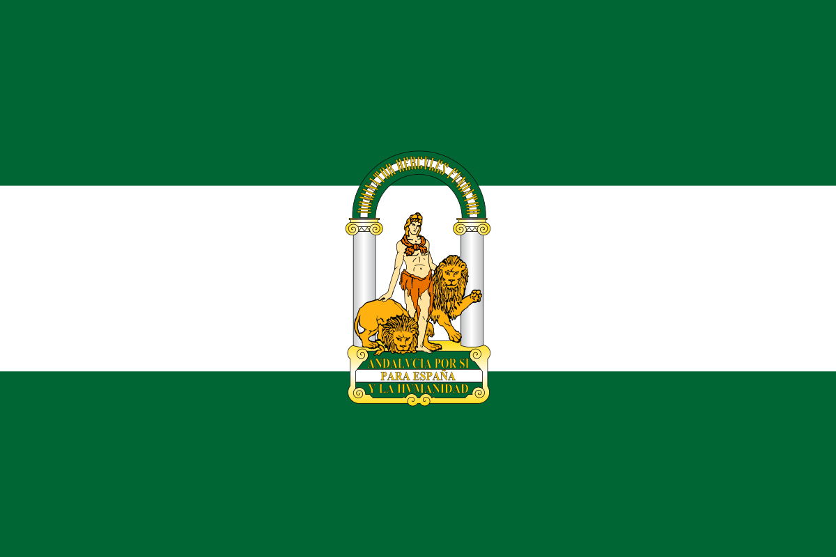 Andalusia
 Argentina


 Automobile
 MINI
MINI


 Automobile
 PEUGEOT


 Automobile
 Volkeswagen


 Automobile
 Kamaz
Kamaz


 Automobile
 IVECO
IVECO


 Automobile
 MAN
MAN


 Automobile
 Mitsubishi


 Automobile
 Tatra
Tatra


 Automobile
 Hino
Hino


 Automobile
 Citroën


 Automobile
 Porsche


 Automobile
 DAF
DAF


 Automobile
 Mercedes


 Automobile
 Renault


 Automobile
 Land Rover

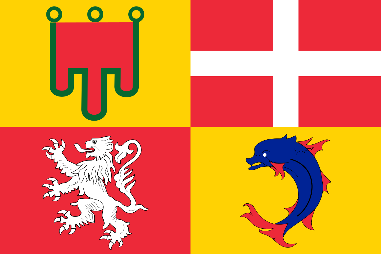 Auvergne-Rhône-Alpes
 Bolivia

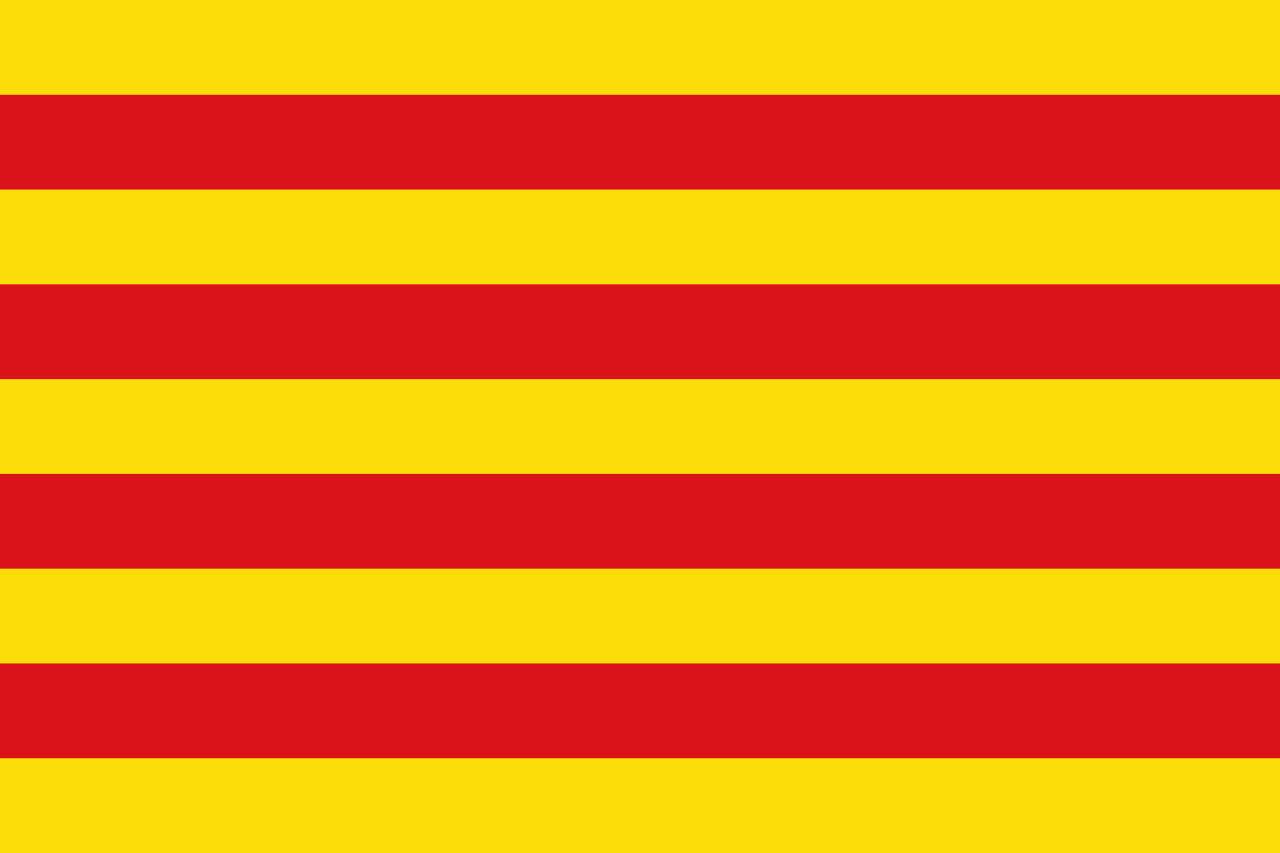 Cataluña
 Chile
Chile
 France

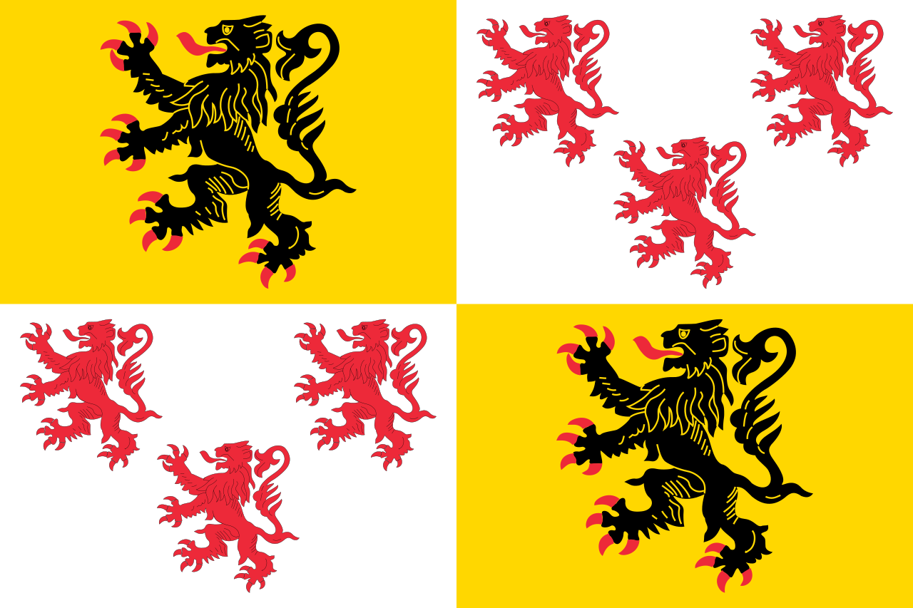 Hauts-de-France

 Ile-de-France
 Libya
Libya

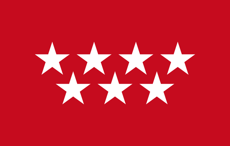 Madrid
 Niger
Niger
 Portugal

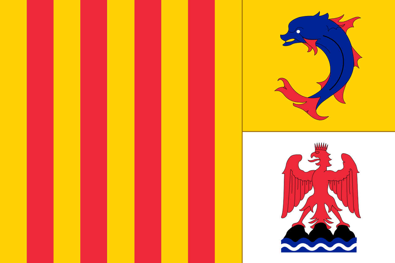 Provence-Alpes-Côte d´Azur
 Senegal
 Spain
Spain

 Sport
Sport
 South Africa
 Tunisia

Die Rallye Dakar (früherer Name Rallye Paris–Dakar) ist ein Rallye-Raid-Wettbewerb, der als die bedeutendste Langstrecken- und Wüstenrallye der Welt gilt. Sie wurde von 1978 bis 2007 einmal jährlich hauptsächlich auf dem afrikanischen Kontinent ausgetragen. Im Jahr 2008 wurde die Rallye Dakar aufgrund einer Terrordrohung abgesagt. Seit 2009 findet sie aus Sicherheitsgründen auf dem südamerikanischen Kontinent statt.
2016 fand die 38. Auflage vom 2. bis 16. Januar in Argentinien und Bolivien statt. Neben einem Prolog von Buenos Aires nach Rosario wurden 13 Etappen und 9246 km Strecke gefahren, 4792 km flossen in die Wertung ein. Aufgrund des Naturphänomens El Niño verzichtete man auf Strecken in Peru.[1]
 Argentina
 Brazil

 Geography
 Goiás
Goiás

 Agriculture, forestry, livestock, fishing
 Mato Grosso do Sul
 Paraguay
 Rio Grande do Norte
 Rio Grande do Sul

大西洋沿岸森林 (葡萄牙语:Mata Atlântica)是一片涵盖热带亚热带湿润阔叶林、热带亚热带干旱阔叶林、热带亚热带草地、稀树草原和疏灌丛和红树林于一体的热带雨林保护区,位于巴西大西洋沿岸,最北到达北里约格朗德州,最南到达南里奥格兰德州。其中的部分热带雨林保护区被列入世界遗产。[1]
大西洋岸森林(たいせいようがんしんりん)は、ブラジルの大西洋岸の北部から南部にかけて分布する森林の総称であり、アマゾンと並ぶ有数の森林地帯である。現地ブラジルのポルトガル語ではマタ・アトランチカ "Mata Atlântica"と呼ばれる。
大西洋岸森林の地理的分布をみると、北東部では海岸沿いの幅狭い地域に限られているが、サンパウロ州などブラジルの南東部から南部にかけては内陸まで分布しており、その一部はパラグアイ、アルゼンチンにまで広がっている。大西洋岸森林は、熱帯雨林・常緑広葉樹林(Tropical and subtropical dry broadleaf forests)、ブラジル南部に分布する針葉樹のパラナ松アラウカリア林(Araucaria Forest)から構成される。なお、大西洋岸森林の範囲を、海岸沿いに分布する熱帯雨林のみに限定して使用する場合もあるが、一般にブラジルの環境保全団体や政府機関、マスメディアの論調では、湿潤林から季節林、パラナ松アラウカリア林の全ての森林を含んだものを指すことが多い。その一方、ポルトガル語でセハードとよばれるサバナのほか、マングローブやレスチンガ(海浜植物)は、関連した生態系として位置づけられ、通常、大西洋岸森林の範疇には含まれない。なお、半乾燥気候が卓越するブラジル北東部の内陸には、周囲よりも標高が高いために雨量が多く島状に森林が生育するブレジョ(Brejo)と呼ばれる場所があるが、これらブレジョの森林についても大西洋岸森林に含まれる。
大西洋岸森林は、もともと人間によって開発が始まる前、アマゾンの森林の約4分の1に相当する1億ヘクタール弱を覆っていたとされている。しかしながら1500年以降に始まるポルトガル人の植民地化を契機に森林は徐々に失われ始め、現在ではもとの7%弱しか残っていない。特に19世紀半ば以降、コーヒー栽培を目的に開拓が進むにつれて、森林は急速に失われていった。加えて、牧草地の造成、道路、ダム、都市建設、不動産開発などのあおりを受け、今日、森林が残っているのは、傾斜地や環境保全地域などに限られている。
面積的に見ればアマゾンの森林に劣るものの、生物多様性に富んでおり、とりわけ、遺伝子資源の宝庫としての役割に注目が集まっている。そういった事情を背景に、大西洋岸森林には自然遺産に登録された場所も存在している(コスタ・ド・デスコブリメントの大西洋岸森林保護区群、大西洋岸森林南東部の保護区群)。ゴールデンライオンタマリンなど絶滅危惧種が生息している。
The Atlantic Forest (Portuguese: Mata Atlântica) is a South American forest that extends along the Atlantic coast of Brazil from Rio Grande do Norte state in the north to Rio Grande do Sul state in the south, and inland as far as Paraguay and the Misiones Province of Argentina, where the region is known as Selva Misionera.
The Atlantic Forest has ecoregions within the following biome categories: seasonal moist and dry broad-leaf tropical forests, tropical and subtropical grasslands, savannas, and shrublands, and mangrove forests. The Atlantic Forest is characterized by a high biodiversity and endemism.[1]
It was the first environment that the Portuguese colonists encountered over 500 years ago, when it was thought to have had an area of 1,000,000–1,500,000 km2 (390,000–580,000 sq mi), and stretching an unknown distance inland.[2] Over 85% of the original area has been deforested, threatening many plant and animal species with extinction.[3][4]
La forêt atlantique (en portugais : mata atlântica) est un biome de type forêt tropicale humide localisé le long du littoral du Brésil et qui s'étire également dans l'extrême-nord de l'Argentine et du Paraguay. C'est un point chaud de biodiversité. Cette zone s'étire sur une superficie actuelle d'environ 100 000 km2. Les écosystèmes sont variées comprenant notamment des forêts tropicales humides de plaine et de montagnes, des forêts sèches et des savanes de montagne. Les précipitations sont donc variées et passent de 700 à plus de 2 000 mm/an selon la région. La forêt atlantique englobe en partie le plateau brésilien et comprend parmi les zones les plus élevées du pays, dont le pic de la Bandeira, le troisième sommet du Brésil.
La foresta atlantica (in portoghese Mata Atlântica) è una regione che si estende lungo la costa atlantica del Brasile dallo stato di Rio Grande do Norte sino al Rio Grande do Sul, spingendosi verso l'interno sino al Paraguay e alla Provincia di Misiones dell'Argentina, dove è conosciuta come Selva Misionera[1]. La regione fa parte della lista Global 200 delle ecoregioni prioritarie per la conservazione con il nome di Foreste atlantiche[2].
La mata atlántica o bosque atlántico es una formación vegetal neotropical, presente en Brasil, Paraguay y Argentina. En Brasil, acompañaba la zona litoral del país desde Río Grande del Norte a Río Grande del Sur, llegando por el interior hasta la Provincia de Misiones en el nordeste de la Argentina, y el este del Paraguay. Es uno de los tipos de selva tropical más amenazados del globo, pues su superficie ha quedado extremadamente reducida a pocos fragmentos, en su mayoría discontinuos, a causa de su deforestación, principalmente a partir del siglo XX. Aún abriga una de las mayores biodiversidades del planeta. Cubría importantes trechos de sierras y escarpas de la Meseta Brasileña, y era la continuación de la selva amazónica. Fue la segunda mayor selva tropical en extensión en Suramérica. La mayor superficie continua de selva original superviviente, y a su vez la mejor conservada de este ecosistema, se centra en la provincia argentina de Misiones, en la selva misionera.
El área original era 1 290 692,46 km², cubriendo en su sector sobre territorio brasileño un 15% de la superficie del país. Actualmente solo queda en pie un remanente de 162000 km², es decir, el 12.4% del área original.[1]
Атлантический лес, или бразильский атлантический лес (порт. Mata Atlântica do Brasil) — глобальный экорегион в Южной Америке, представляющий собой стокилометровую полосу, которая располагается вдоль атлантического побережья юго-восточной Бразилии от штата Риу-Гранди-ду-Норти на севере до Риу-Гранди-ду-Сул на юге. В глубине континента в южной части захватывет территорию Парагвая и аргентинской провинции Мисьонес. Основным типом растительности являются широколиственные влажные тропические и субтропические леса, включая мангры и горные леса. На территории экорегиона встречаются также саванны и сухие тропические леса. От амазонской сельвы атлантический лес отделён сухим экорегионом Серрадо, что способствовало формированию своеобразных сообществ растений и животных[1].
На территории экорегиона находится природный объект Всемирного наследия ЮНЕСКО № 892 — «Лесные резерваты восточного атлантического побережья („Берег открытия“)»[2].
 Argentina
 Australia
 Germany
 France
 Italy
Italy
 Croatia
 Russia
 Sweden
 Switzerland
 Serbia
 Spain
Spain

 Sport
Sport

 Sport
Sport
 Tennis
 South Africa
 Czech Republic
 United States
 United Kingdom

Nationen nach Anzahl der Siege und FinalteilnahmenRangLandSiegeFinal-
| Rang | Land | Siege | Final- niederlagen |
|---|---|---|---|
| 1. | 32 | 29 | |
| 2. | 28* | 19 | |
| 3. | 10 | 9 | |
| 4. | 10 | 8 | |
| 5. | 7 | 5 | |
| 6. | 6 | 4 | |
| 7. | 3 | 3 | |
| 8. | 3 | 2 | |
| 3** | 2 | ||
| 10. | 2 | 2 | |
| 11. | 1 | 6 | |
| 12. | 1 | 4 | |
| 13. | 1 | 1 | |
| 1 | 1 | ||
| 15. | 1 | 0 | |
| 16. | 0 | 3 | |
| 0 | 3 | ||
| 0 | 3 | ||
| 19. | 0 | 1 | |
| 0 | 1 | ||
| 0 | 1 | ||
| 0 | 1 | ||
| 0 | 1 |
* inkl. vier Siegen als Australasien
** inkl. eines Sieges als Tschechoslowakei


 Architecture
 Religion
 Transport and traffic
 International cities
 Dances
 Motorsport
 Animal world
 Energy resource
 Companies