
Deutsch-Chinesische Enzyklopädie, 德汉百科
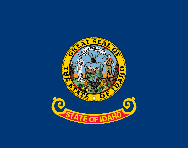
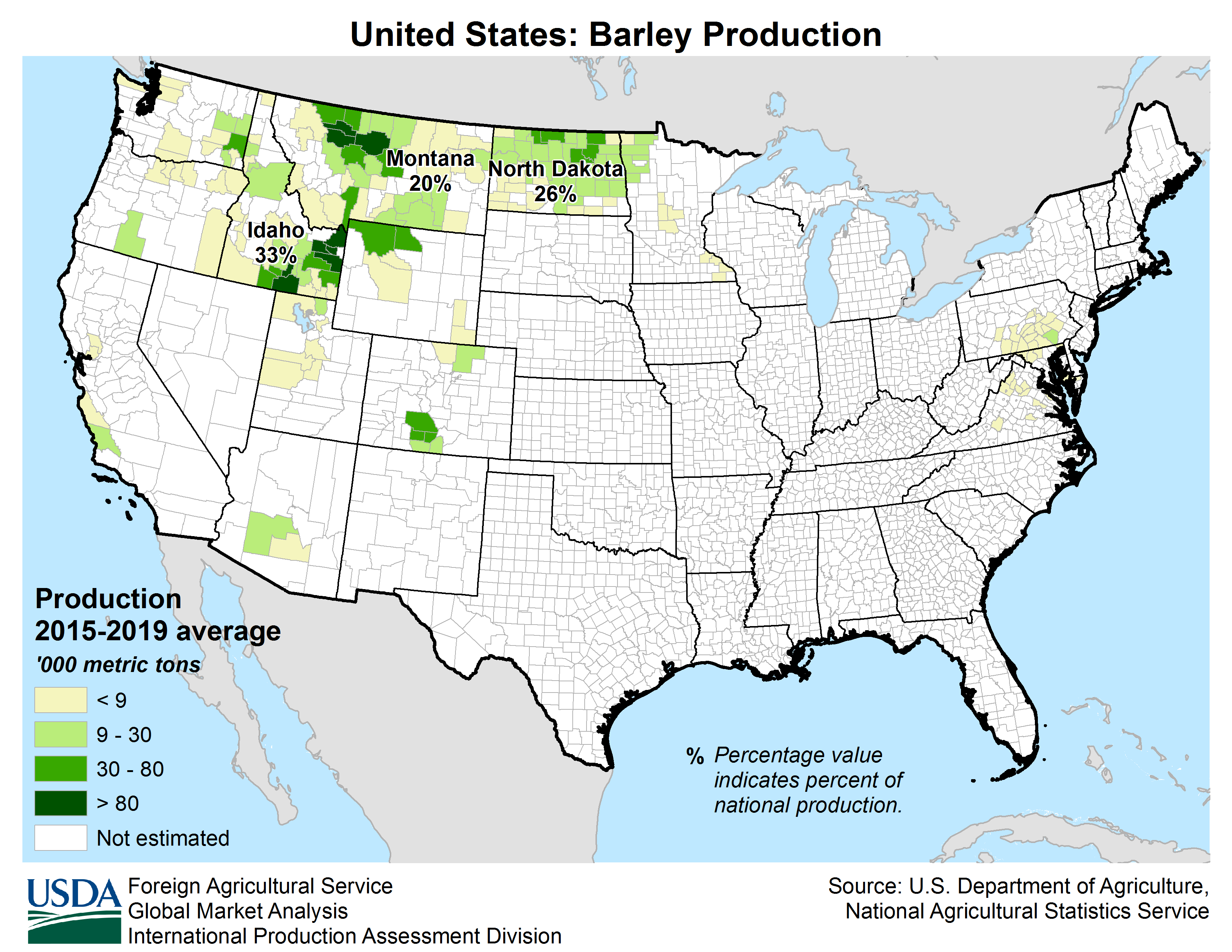
 Idaho-ID


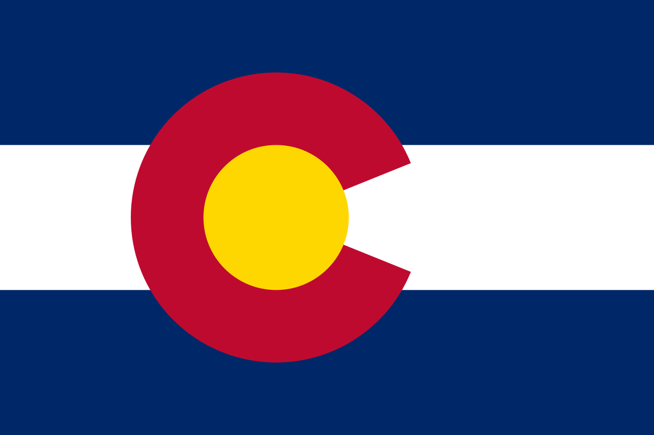 Colorado-CO

 Idaho-ID

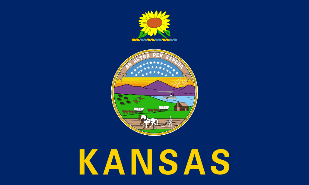 Kansas-KS

 Agriculture, forestry, livestock, fishing

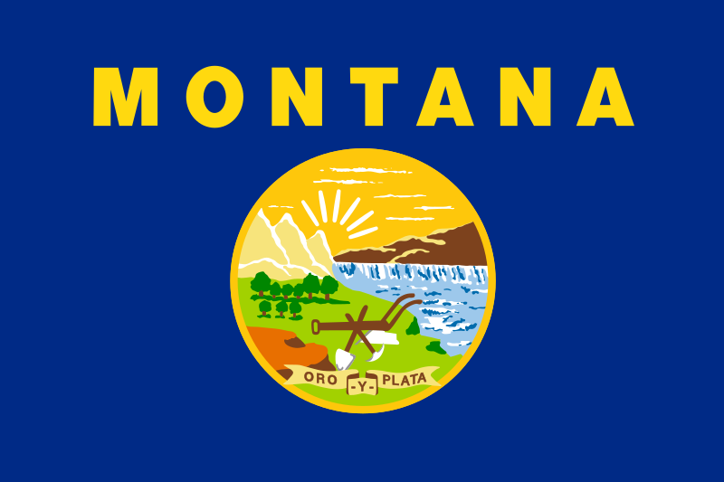 Montana-MT

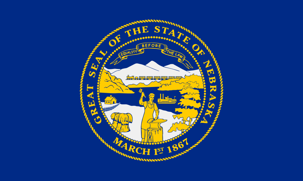 Nebraska-NE

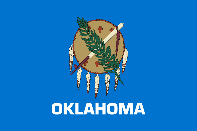 Oklahoma-OK

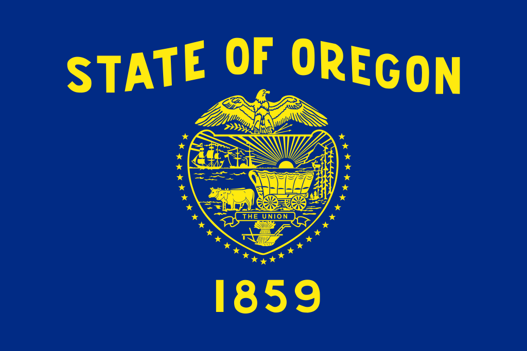 Oregon-OR

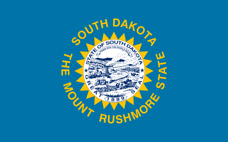 South Dakota-SD

 Texas-TX

 Washington-WA


 Alabama-AL

 Alaska-AK

 Arizona-AZ

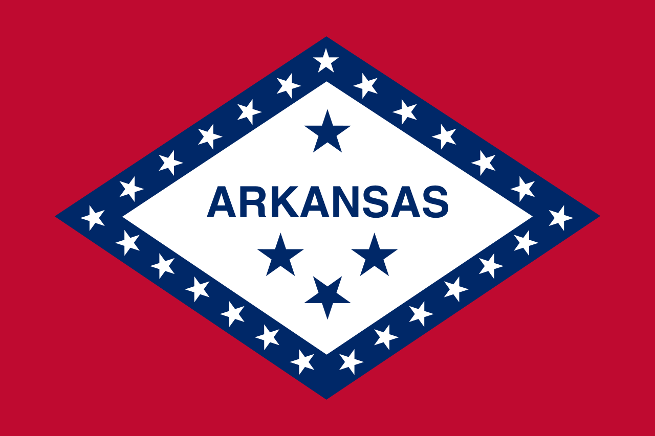 Arkansas-AR

 Education and Research
 Universities and colleges in the United States of America

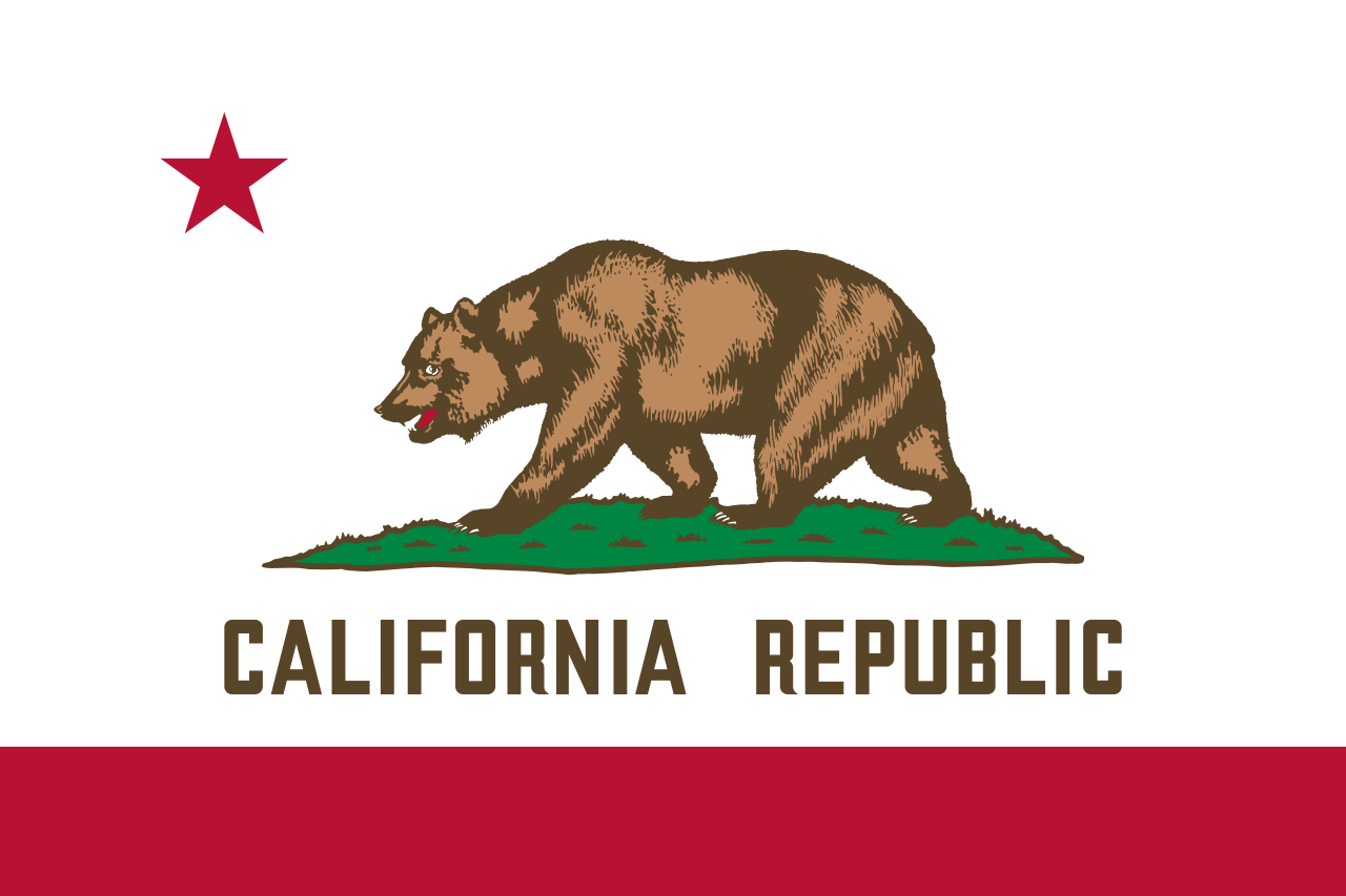 California-CA

 Colorado-CO

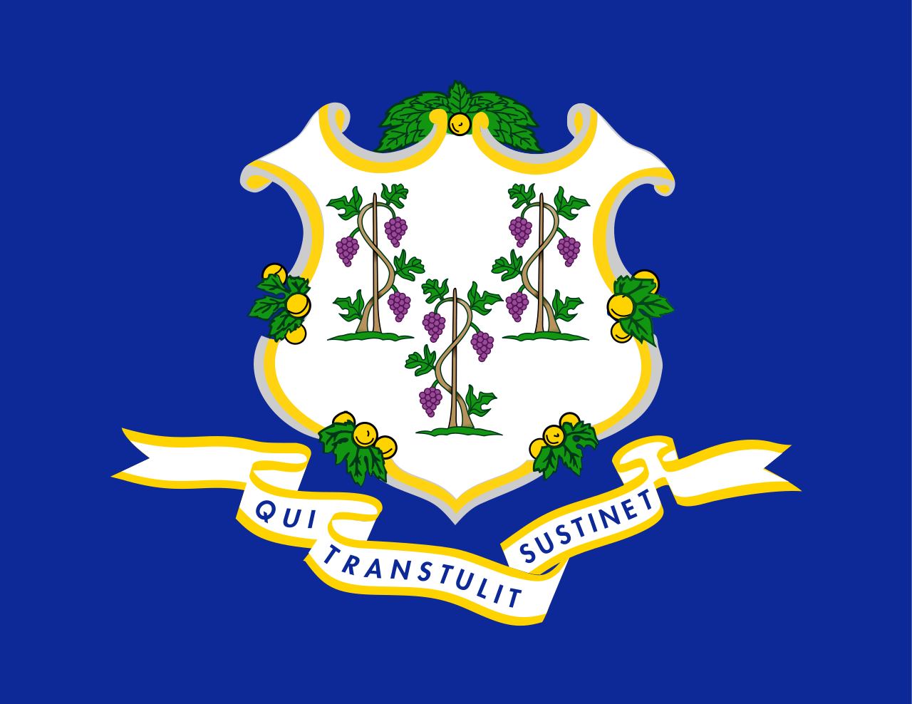 Connecticut-CT

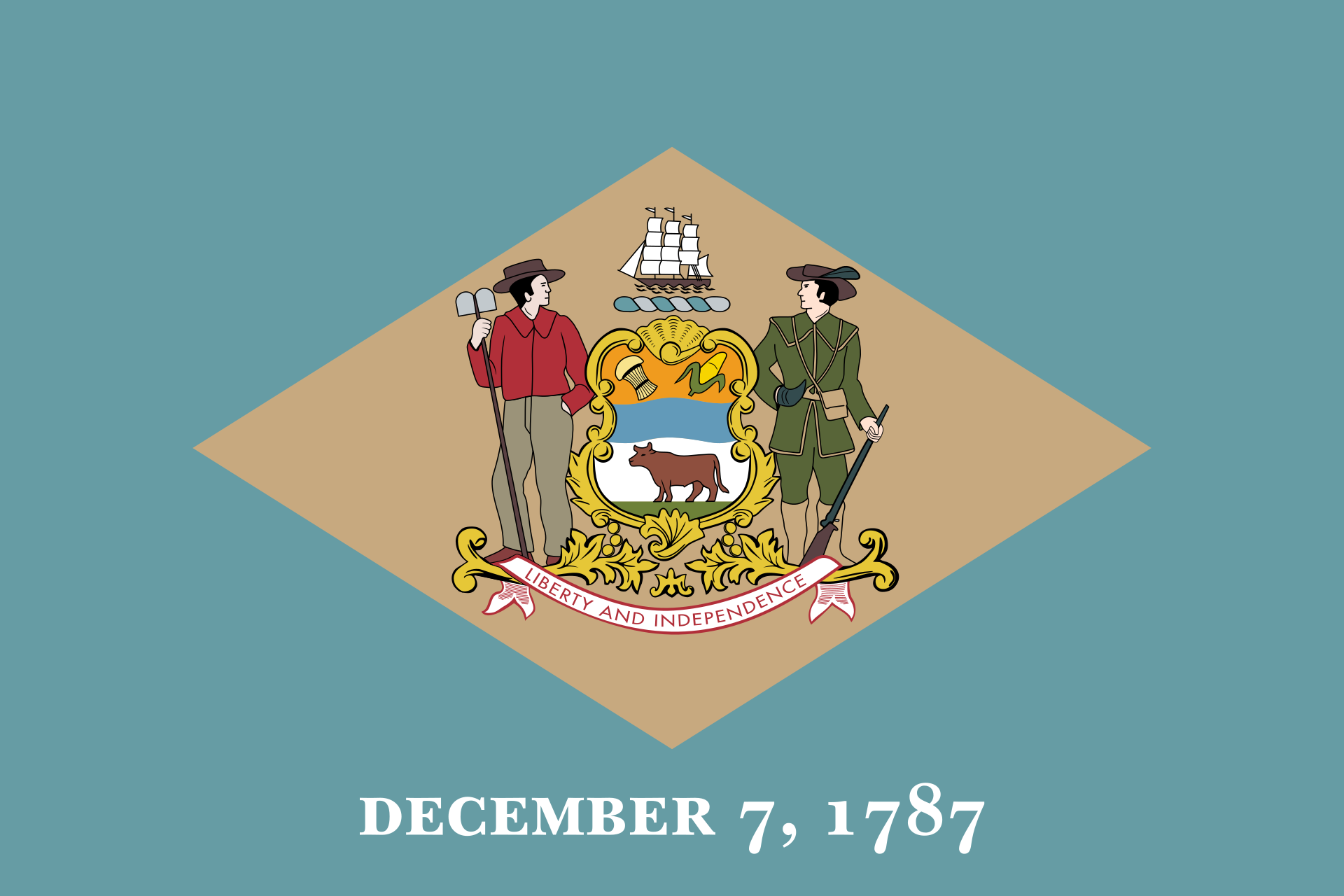 Delaware-DE

 Florida-FL

 Georgia-GA

 Hawaii-HI

 Idaho-ID

 Illinois-IL

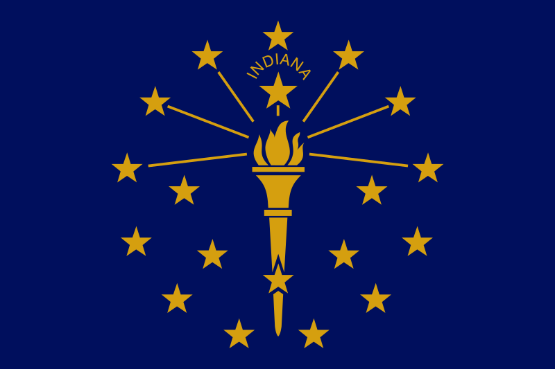 Indiana-IN

 Iowa-IA

 Kansas-KS

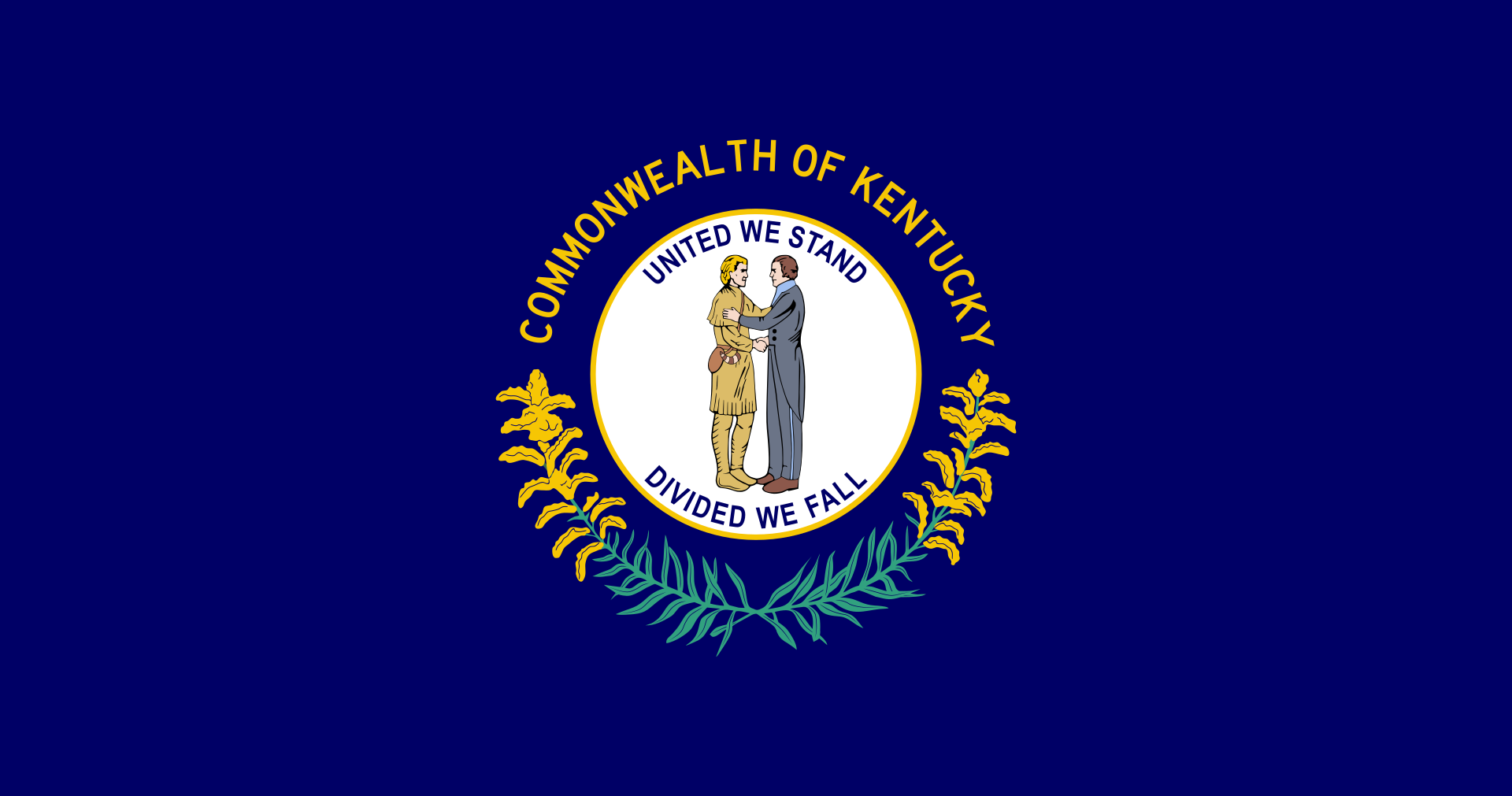 Kentucky-KY

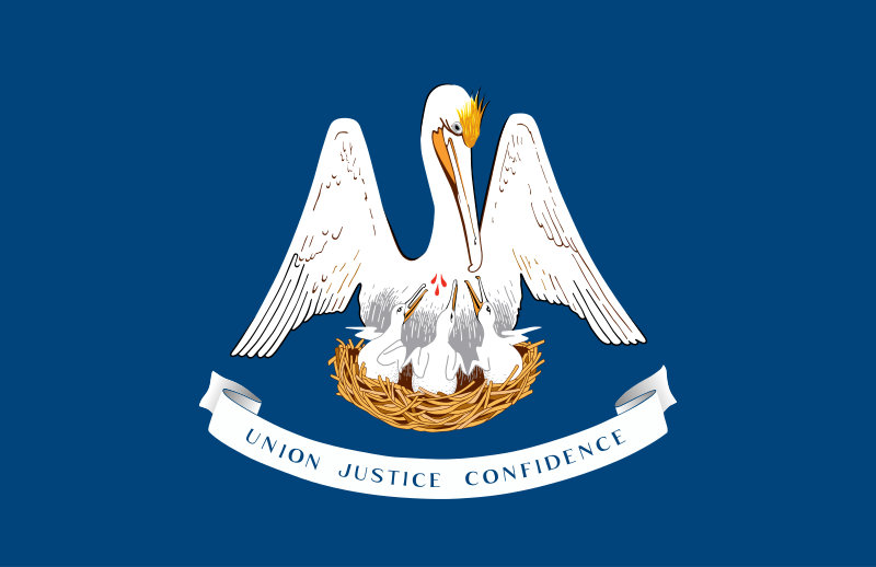 Louisiana-LA

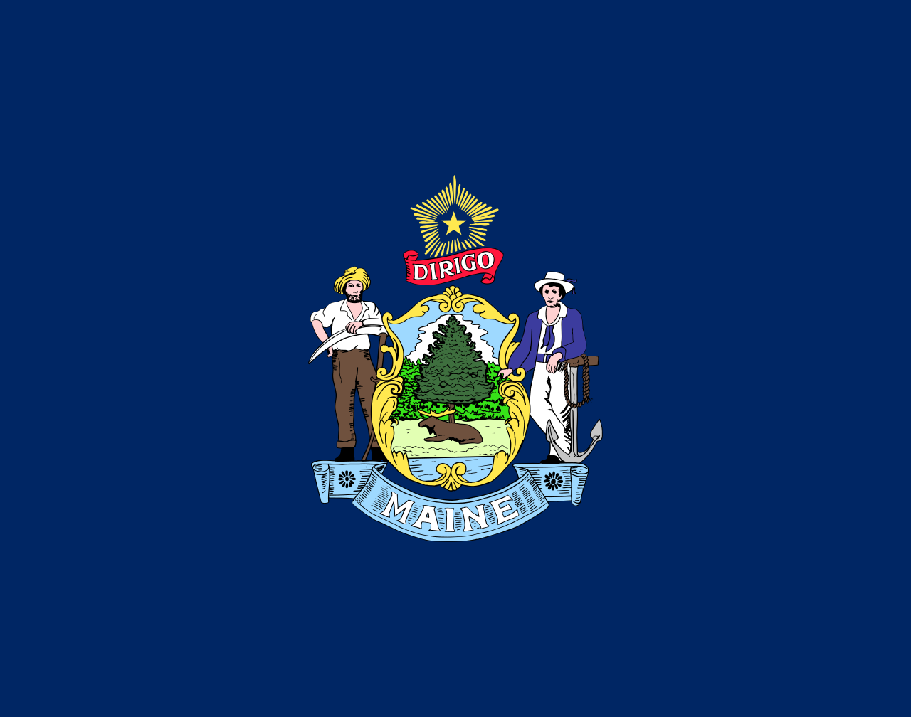 Maine-ME

 Maryland-MD

 Massachusetts-MA

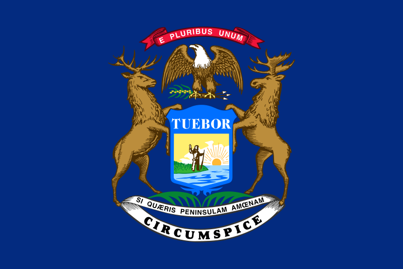 Michigan-MI

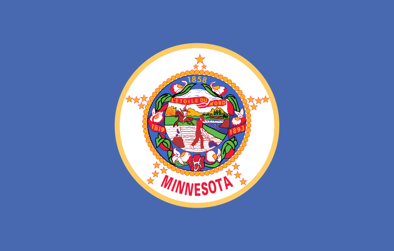 Minnesota-MN

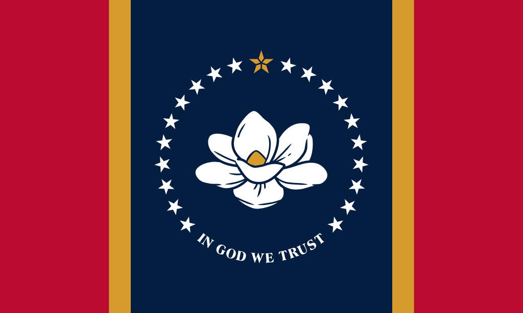 Mississippi-MS

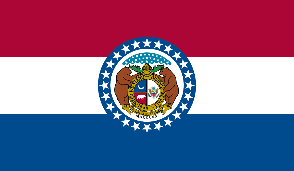 Missouri-MO

 Montana-MT

 Nebraska-NE

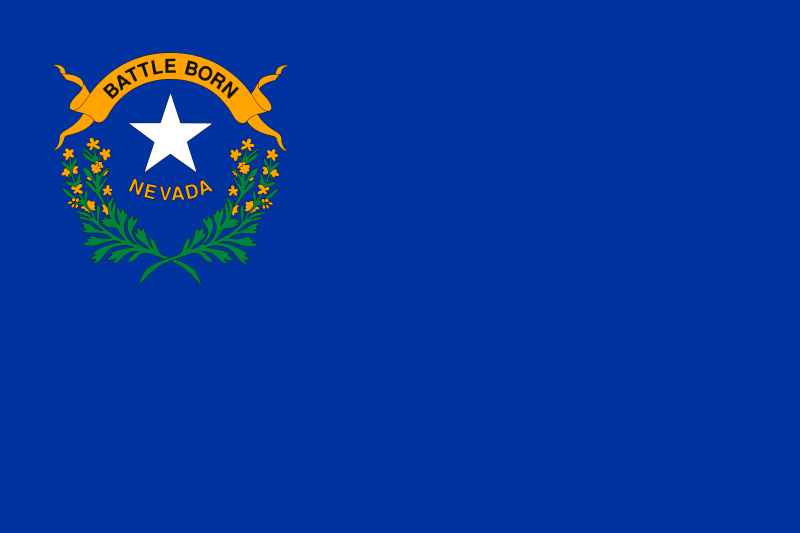 Nevada-NV

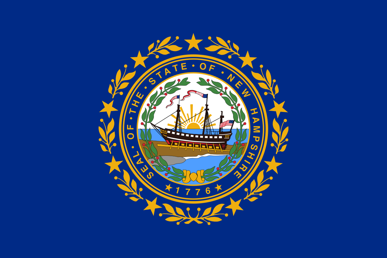 New hampshire-NH

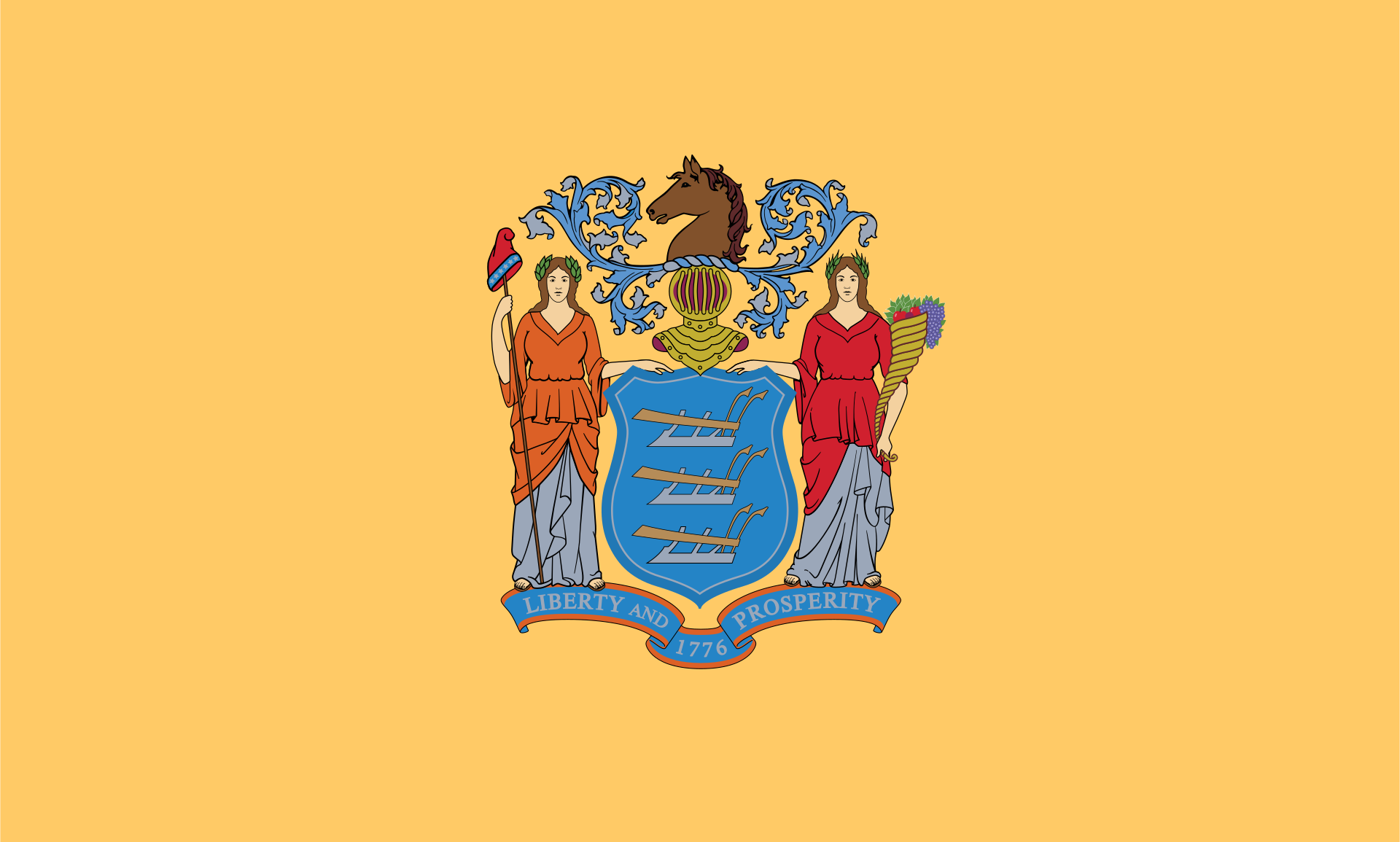 New jersey-NJ

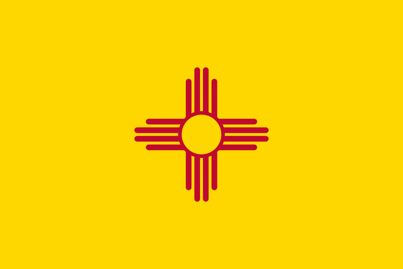 New mexico-NM

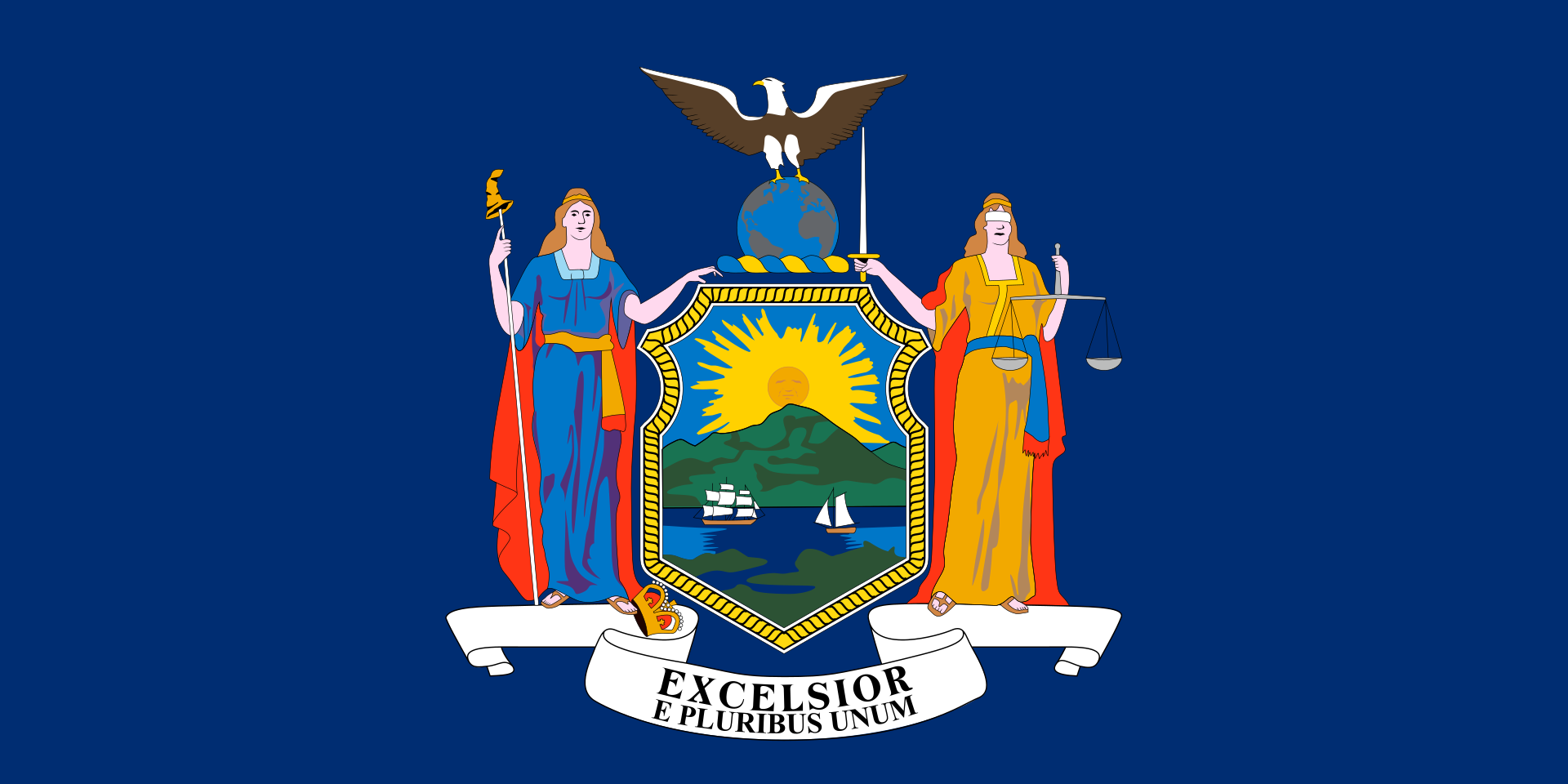 New York-NY

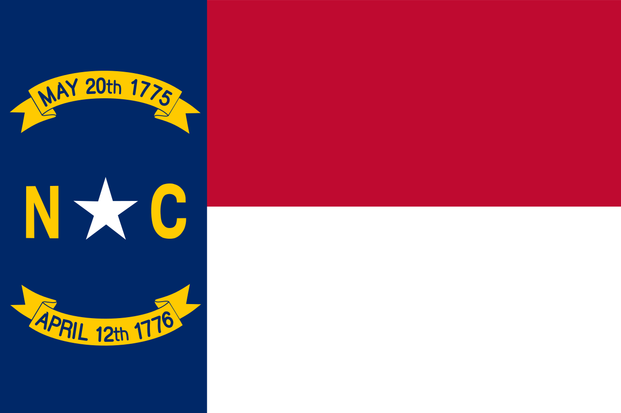 North Carolina-NC

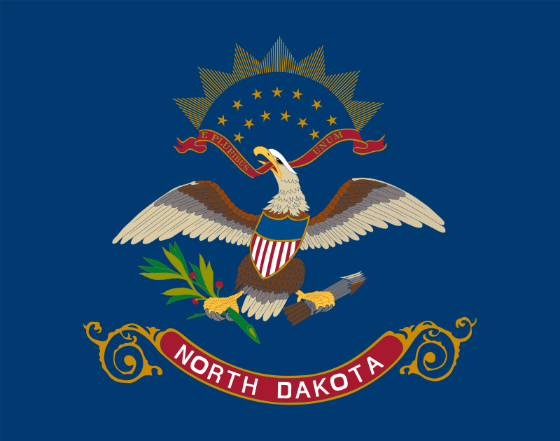 North Dakota-ND

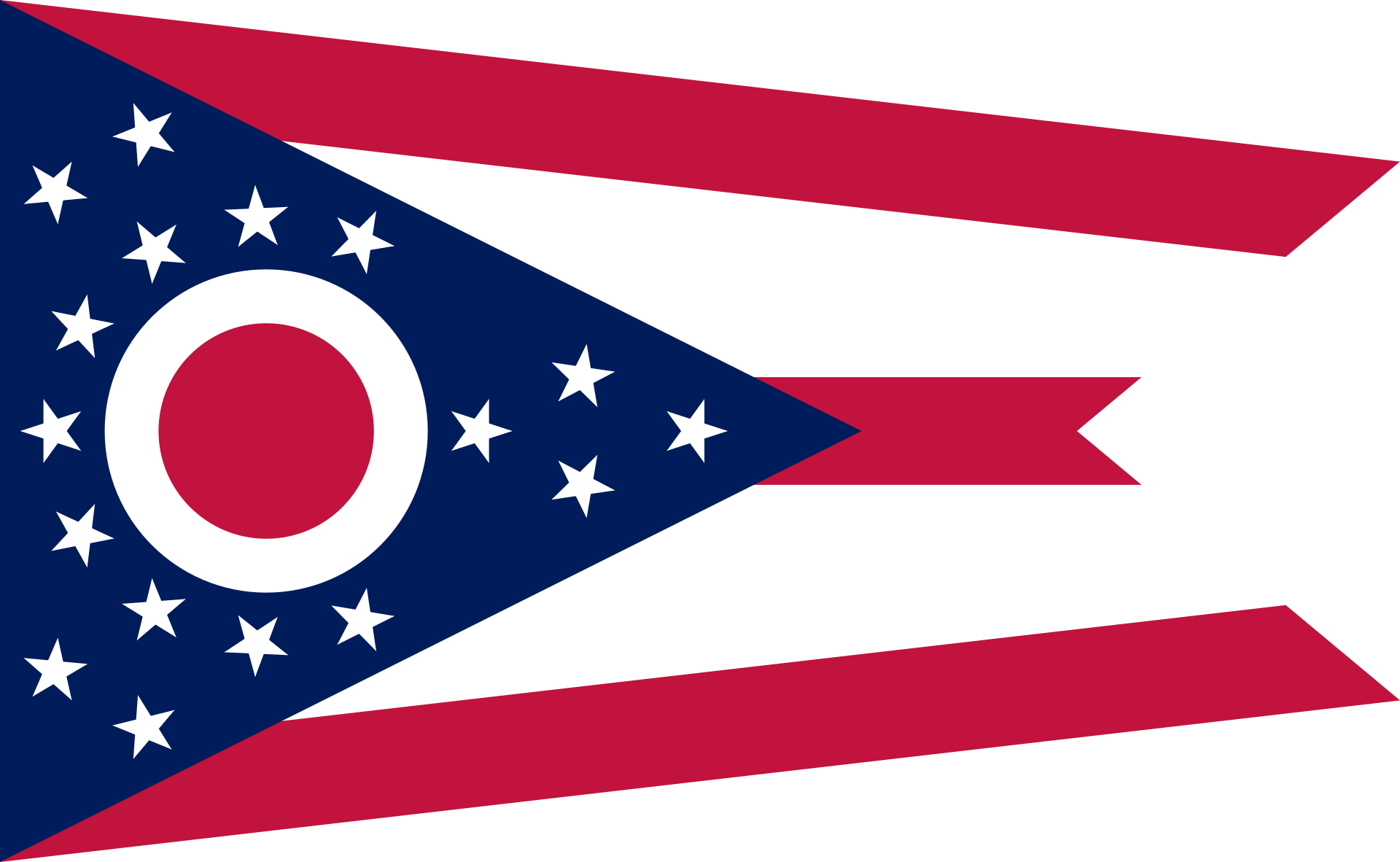 Ohio-OH

 Oklahoma-OK

 Oregon-OR

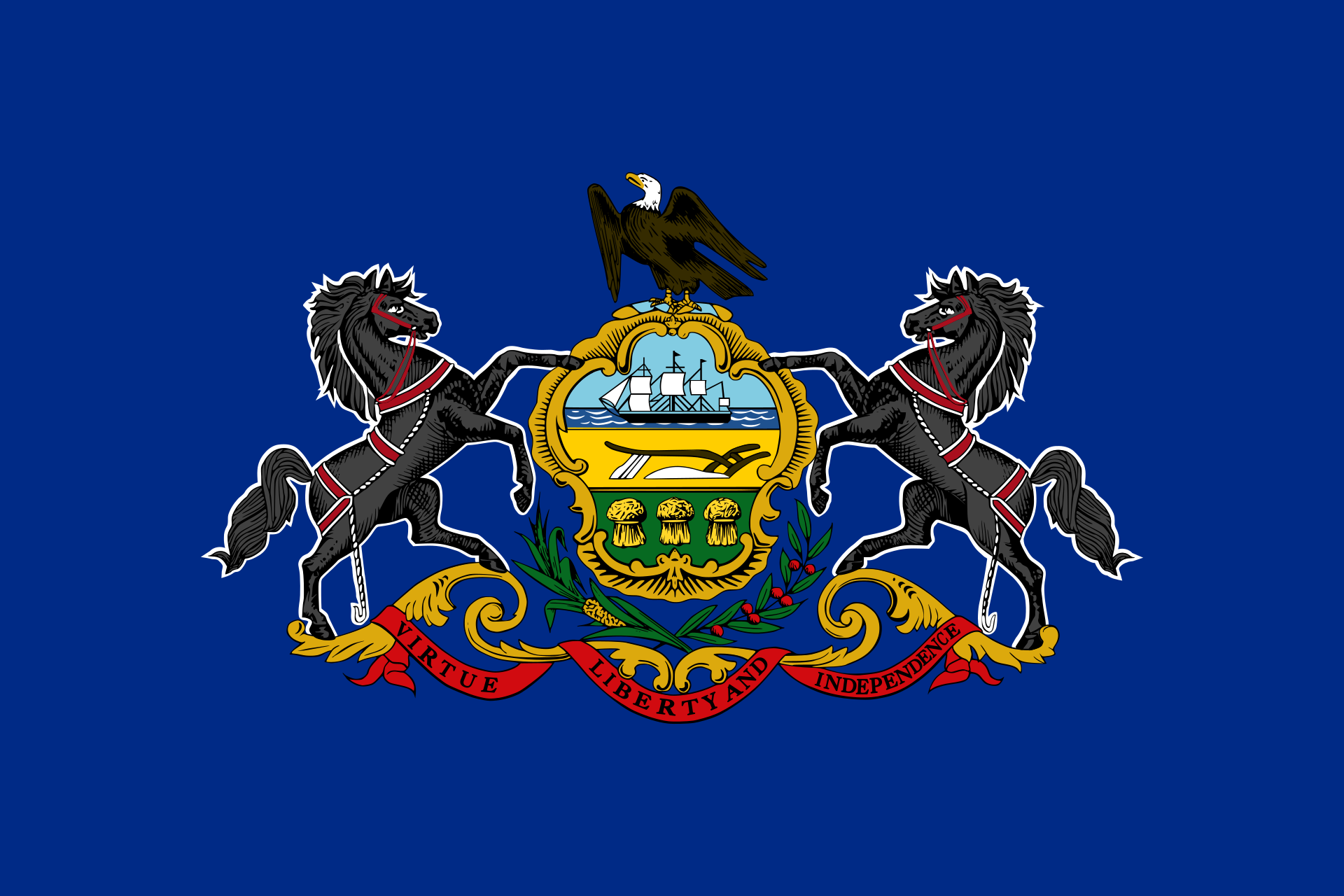 Pennsylvania-PA

 Rhode Island-RI

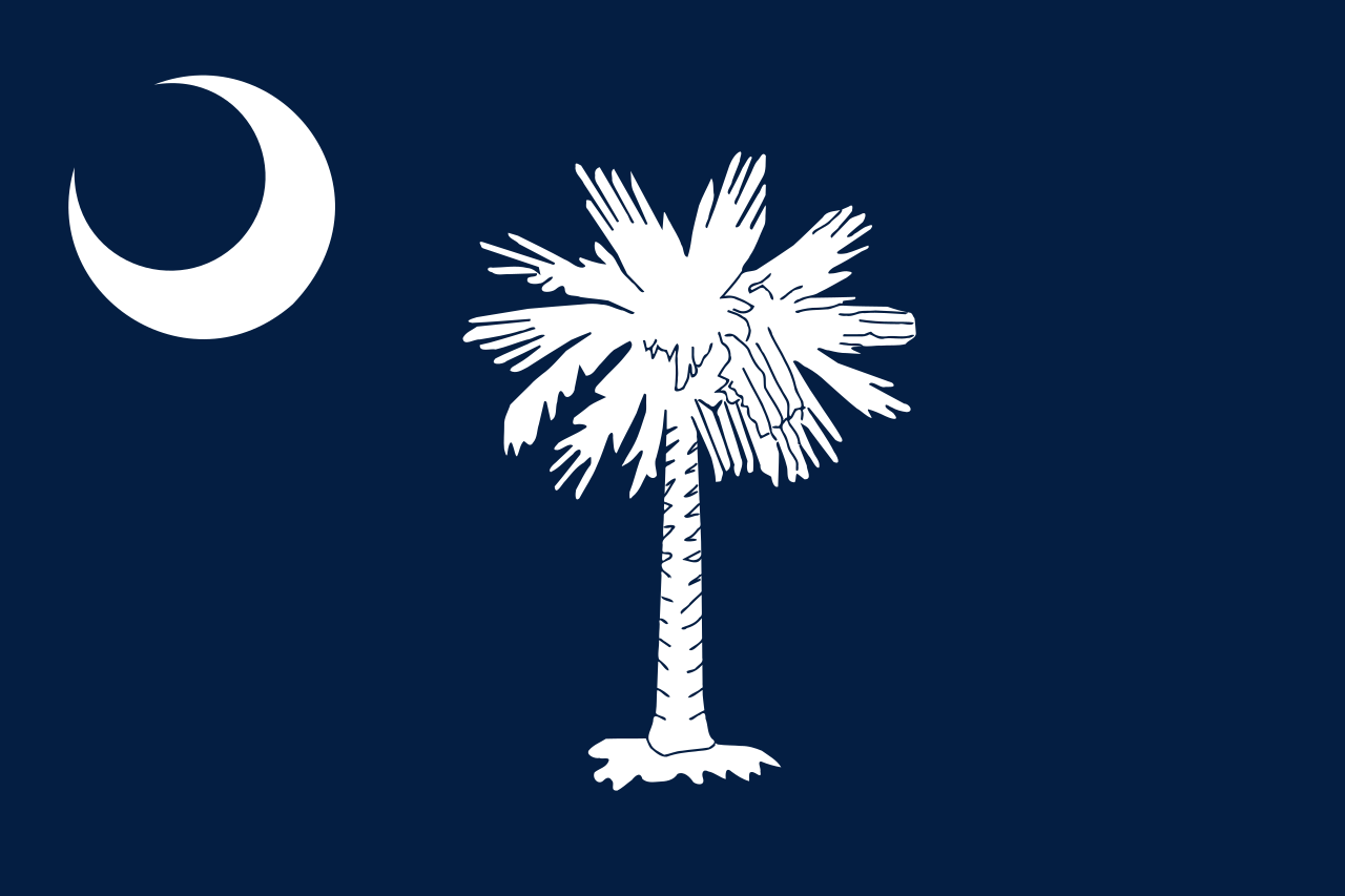 South Carolina-SC

 South Dakota-SD

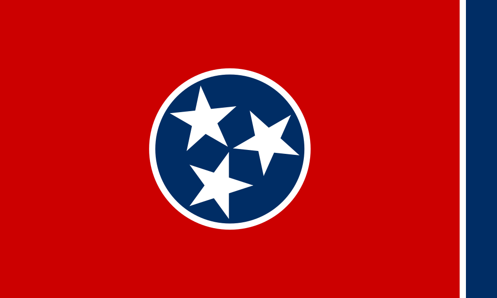 Tennessee-TN

 Texas-TX

 Universities in the USA

 Utah-UT
 United States

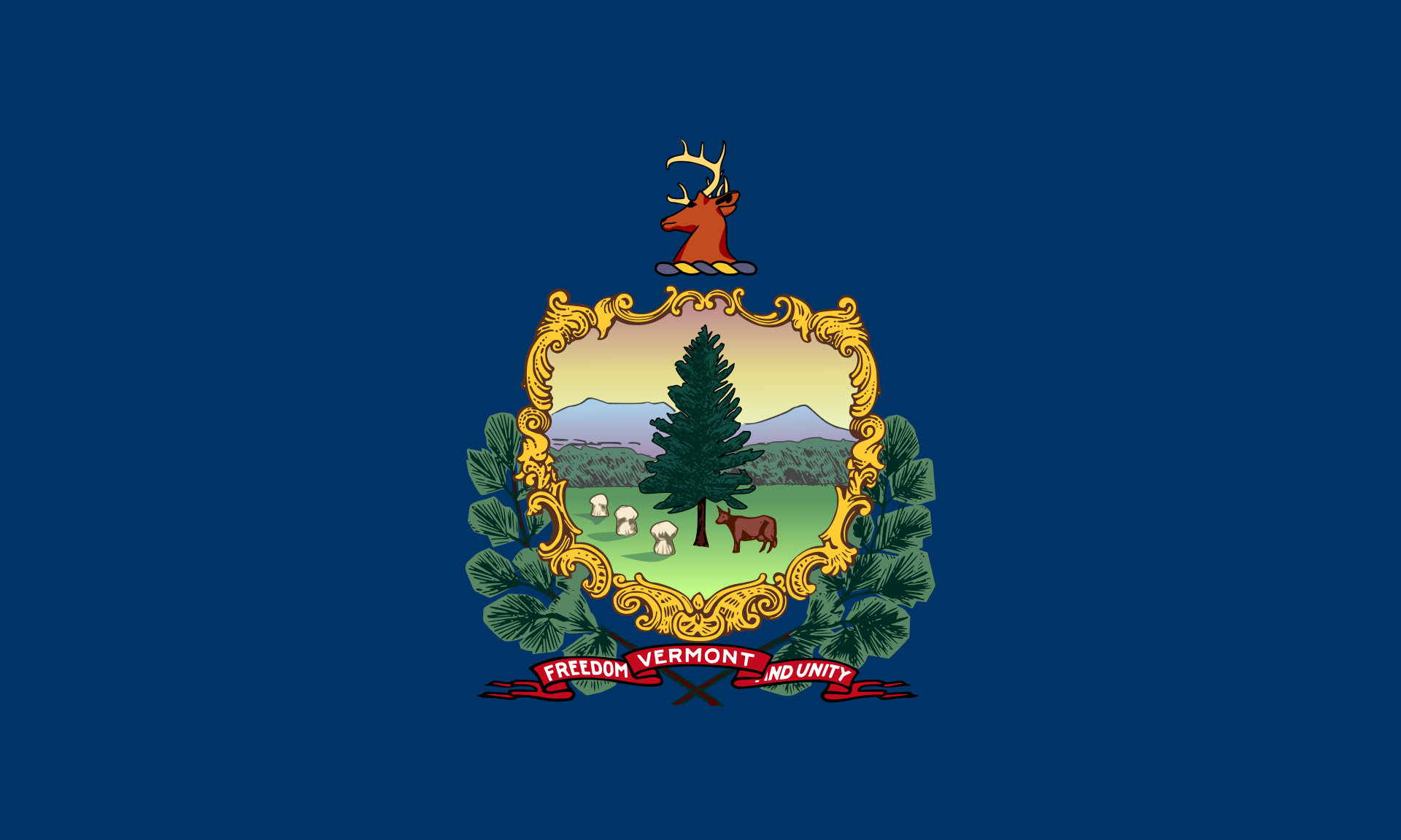 Vermont-VT

 Virginia-VA

 Washington-WA

 Washington, D.C.

 West Virginia-WV

 Wisconsin-WI

 Wyoming-WY

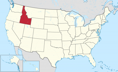
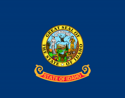
Idaho (englische Aussprache [ˈaɪ̯dəhoʊ̯]) ist ein Bundesstaat im Nordwesten der Vereinigten Staaten von Amerika mit einer Bevölkerung von 1.787.065 (Schätzung 2019)[2]. Er gehört damit zu den dünn besiedelten Bundesstaaten. Die Hauptstadt ist Boise. Der Staat wird auch als Gem State (Edelstein-Staat) bezeichnet. Der Name des Staates Idaho rührt wahrscheinlich vom indianischen Wort „Ee-dah-how“ der Shoshone her, was sinngemäß etwa „Licht auf den Bergen“ bedeutet. Anderen Behauptungen zufolge soll diese Übersetzung eine freie Erfindung des exzentrischen Minenlobbyisten George M. Willing sein.[3]
アイダホ州(英: State of Idaho [ˈaɪdəhoʊ] (![]() 音声ファイル))は、アメリカ合衆国北西部のロッキー山脈にある州である。州の北はカナダ国境(ブリティッシュコロンビア州)に接し、東はモンタナ州とワイオミング州に、西はワシントン州とオレゴン州に、南はネバダ州とユタ州に接している内陸の州である。
音声ファイル))は、アメリカ合衆国北西部のロッキー山脈にある州である。州の北はカナダ国境(ブリティッシュコロンビア州)に接し、東はモンタナ州とワイオミング州に、西はワシントン州とオレゴン州に、南はネバダ州とユタ州に接している内陸の州である。
州の大部分が山岳地帯の州であり、面積では全米50州の中で14位、アメリカ北東部のニューイングランド地方の面積よりも広い。農業と共に林業、鉱業が盛んである。近年は自然を活かした観光業なども州の大きな収入源になっている。コロンビア川とスネーク川のダムや閘門が整備されたことで、州東端にあるルイストン市は大陸アメリカ合衆国の太平洋岸から最も内陸にある海港になっている。
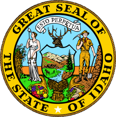
2010年国勢調査に拠れば、州人口は1,567,582人である。アイダホ州の愛称は「宝石の州」であり、ほとんどあらゆる種類の宝石が州内で見つかっている[1]。さらに、スター・ガーネットが見つかった世界で2か所しかない場所の1つであり(もう1つはパキスタンとインドのヒマラヤ山脈)、六角スター・ガーネットが見つかったのはここだけである。また「ジャガイモの州(Potato State)」と呼ばれることもある。州のモットーはラテン語のEsto Perpetua (不滅ならんことを)である。
Idaho (/ˈaɪdəhoʊ/ (![]() listen)) is a state in the Pacific Northwest region of the United States. It borders the state of Montana to the east and northeast, Wyoming to the east, Nevada and Utah to the south, and Washington and Oregon to the west. To the north, it shares a small portion of the Canadian border with the province of British Columbia. With a population of approximately 1.7 million and an area of 83,569 square miles (216,440 km2), Idaho is the 14th largest, the 12th least populous and the 7th least densely populated of the 50 U.S. states. The state's capital and largest city is Boise.
listen)) is a state in the Pacific Northwest region of the United States. It borders the state of Montana to the east and northeast, Wyoming to the east, Nevada and Utah to the south, and Washington and Oregon to the west. To the north, it shares a small portion of the Canadian border with the province of British Columbia. With a population of approximately 1.7 million and an area of 83,569 square miles (216,440 km2), Idaho is the 14th largest, the 12th least populous and the 7th least densely populated of the 50 U.S. states. The state's capital and largest city is Boise.
For thousands of years Idaho has been inhabited by Native American peoples. In the early 19th century, Idaho was considered part of the Oregon Country, an area disputed between the United States and the British Empire. It officially became U.S. territory with the signing of the Oregon Treaty of 1846, but a separate Idaho Territory was not organized until 1863, instead being included for periods in Oregon Territory and Washington Territory. Idaho was eventually admitted to the Union on July 3, 1890, becoming the 43rd state.
Forming part of the Pacific Northwest (and the associated Cascadia bioregion), Idaho is divided into several distinct geographic and climatic regions. The state's north, the relatively isolated Idaho Panhandle, is closely linked with Eastern Washington with which it shares the Pacific Time Zone—the rest of the state uses the Mountain Time Zone. The state's south includes the Snake River Plain (which has most of the population and agricultural land). The state's southeast incorporates part of the Great Basin. Idaho is quite mountainous, and contains several stretches of the Rocky Mountains. The United States Forest Service holds about 38% of Idaho's land, the highest proportion of any state.[8]
Industries significant for the state economy include manufacturing, agriculture, mining, forestry, and tourism. A number of science and technology firms are either headquartered in Idaho or have factories there, and the state also contains the Idaho National Laboratory, which is the country's largest Department of Energy facility. Idaho's agricultural sector supplies many products, but the state is best known for its potato crop, which comprises around one-third of the nationwide yield. The official state nickname is the "Gem State", which references Idaho's natural beauty.[9]
L'Idaho (/i.da.o/ ; prononcé en anglais : /ˈaɪ.də.hoʊ/) est un État du Nord-Ouest des États-Unis, bordé à l'ouest par l'État de Washington et l'Oregon, au sud par le Nevada et l'Utah et à l'est par le Montana et le Wyoming. L'Idaho comporte également une frontière avec la province canadienne de la Colombie-Britannique.
C'est un État des montagnes Rocheuses réputé pour ses paysages composés de hauts sommets enneigés, de cascades, de vastes lacs et de profonds canyons. La vie sauvage y est encore en grande partie préservée. L'identité de l'État de l'Idaho est indissociable[Selon qui ?] des sports d'hiver, car chaque ville possède dans son voisinage sa station de ski.
En raison de son dynamisme démographique, l'Idaho se classe au sixième rang des États américains dont la population augmente le plus rapidement et comptait une population de 1 787 065 habitants en 20191.
L'Idaho (/ˈaidao/, in inglese , /ˈaɪdəhoʊ/) è uno stato situato nella parte nord-occidentale degli Stati Uniti d'America. La sua capitale è Boise.
Idaho es uno de los cincuenta estados que, junto con Washington D. C., forman los Estados Unidos de América. Su capital y ciudad más poblada es Boise. Está ubicado en la región Oeste del país, división Montañas Rocosas. Limita al norte con Canadá, al noreste con Montana, al este con Wyoming, al sureste con Utah, al suroeste con Nevada, al oeste con Oregón —gran parte de esta frontera la forma el río Snake— y al noroeste con el estado de Washington. Con 7,24 hab/km² es el séptimo estado menos densamente poblado, por delante de Nuevo México, Dakota del Sur, Dakota del Norte, Montana, Wyoming y Alaska, el menos densamente poblado. Fue admitido en la Unión el 3 de julio de 1890, como el estado número 43.
La abreviación postal es "ID", y su apodo de Estado gema hace alusión a la abundancia de recursos naturales en su territorio. El lema estatal es la frase latina Esto Perpetua, que traducido al español sería "Que sea perpetuo". El sur de Idaho, incluyendo al área metropolitana de Boise, Idaho Falls, Pocatello, y Twin Falls se encuentra en la zona horaria de Montaña. El norte estatal (pasando el río Salmon), en cambio, pertenece a la zona horaria del Pacífico.
Айда́хо[2], также А́йдахо[3] (МФА: Idaho ![]() слушать, [ˈaɪdəhəu]) — штат США[4] на тихоокеанском Северо-Западе в группе горных штатов. Айдахо граничит с шестью штатами США и канадской провинцией Британская Колумбия на севере. По оценкам на июль 2014 года, в штате проживало 1 634 464[1] человека. По численности населения он занимает 39 место среди других штатов. Площадь Айдахо составляет 216 632 км², что делает его 14-м по величине штатом США. Самый большой город штата и его столица — Бойсе. В нём расположены основные правительственные учреждения штата, в том числе легислатура Айдахо.
слушать, [ˈaɪdəhəu]) — штат США[4] на тихоокеанском Северо-Западе в группе горных штатов. Айдахо граничит с шестью штатами США и канадской провинцией Британская Колумбия на севере. По оценкам на июль 2014 года, в штате проживало 1 634 464[1] человека. По численности населения он занимает 39 место среди других штатов. Площадь Айдахо составляет 216 632 км², что делает его 14-м по величине штатом США. Самый большой город штата и его столица — Бойсе. В нём расположены основные правительственные учреждения штата, в том числе легислатура Айдахо.
Немаловажными отраслями экономики штата являются сельское хозяйство, в значительной части представленное выращиванием картофеля, горнодобыча и научно-технический сектор. В первой половине XIX века на этой местности активно добывалась пушнина. В середине XIX века в Айдахо были обнаружены крупные месторождения драгоценных металлов, в том числе золота, что послужило толчком к активному притоку первопоселенцев и получению статуса территории. Штатом же Айдахо стал 3 июля 1890 года, 43-м по счёту. Горнодобыча в штате развита до сих пор. Благодаря обилию природных ресурсов прозвище Айдахо — «штат-самоцвет» (англ. «Gem state»)[5]. В настоящее время штат является одним из наиболее «республиканских» в стране[6][7]. Так, губернатором штата с 2019 года является республиканец Брэд Литтл[8], его предшественниками были однопартийцы Бутч Оттер (2007—2019), Джим Риш (2006—2007), Дирк Кемпторн (1999—2006) и Фил Батт (1995—1999).
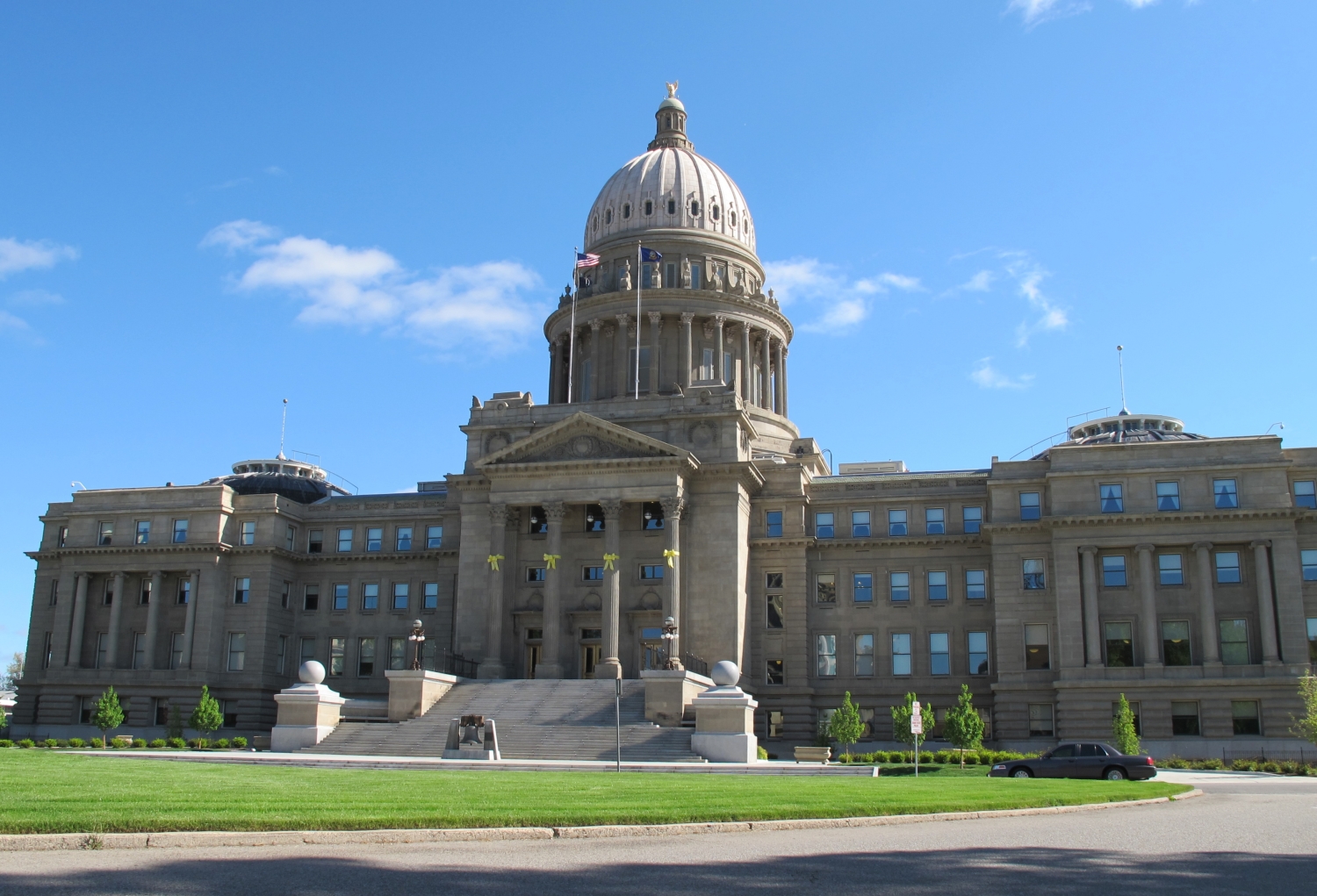

 Idaho-ID


 IT-Times
 IC
IC


 IT-Times
 Semiconductor technology


 IT-Times
 Artificial Intelligence
 United States

 Science and technology
 Global Innovators


 Alberta-AB

 British Columbia-BC

 Colorado-CO

 Idaho-ID
 Canada

 Montana-MT

 New mexico-NM
 United States

 Wyoming-WY
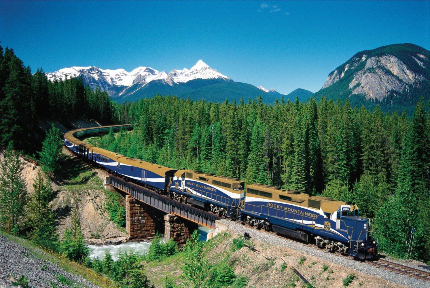
落基山脉(英语:Rocky Mountains),又译作落矶山脉,是美洲西部的主要山脉,从加拿大西部不列颠哥伦比亚横越美国西部,直到美国西南部的新墨西哥州,绵延超过4800公里。和其平行的有太平洋海岸山脉、喀斯喀特山脉及内华达山脉。
此山脉的最高峰是埃尔伯特峰[1],位于科罗拉多州境内,高度有4401米。罗布森山则是加拿大境内的最高峰,高度为3954米。整个落基山脉系统是美国地文区的一大部分。
当时有许多板块在北美洲板块下移动。隐没带的角度很浅,因此造成北美西部广阔的山脉带。进一步的板块构造活动及冰河的侵蚀,使落基山脉出现显著的山峰及峡谷,在第四纪冰河时期结束时,人类开始在落基山脉居住。在欧洲人(例如亚历山大麦肯齐)及美洲人(如刘易斯与克拉克)发现此地区后,开始在此地采矿及打猎制作毛皮,不过落基山脉的人口还是不多。
现在的落基山脉中有很多地方是国家公园保护区及森林地,也是受欢迎的旅游景点,可以进行像露营、远足、爬山、钓鱼、打猎、山地自行车、滑雪及单板滑雪等休闲活动。
Die Rocky Mountains [ˌɹɒkiˈmaʊntənz] (deutsch, aber veraltet auch Felsengebirge, umgangssprachlich auch Rockies genannt) sind ein ausgedehntes Faltengebirge im westlichen Nordamerika. Die Berge erstrecken sich, je nach Definition, über 4500–5000 km von New Mexico durch die kontinentalen Vereinigten Staaten bis nach Kanada und bilden eine der wesentlichen geografischen Provinzen der USA.
Nicht zu den Rocky Mountains zählen die Coast Mountains, die Kaskadenkette und die Sierra Nevada. Der Mount Elbert in Colorado ist mit 4401 m der höchste Berg der Rocky Mountains.
Die Rocky Mountains sind Teil der von Feuerland bis Alaska reichenden Kordilleren. Sie beheimaten bedeutende Nationalparks wie den Yellowstone-Nationalpark und diverse Wintersportzentren. Außerdem sind sie reich an Bodenschätzen. Die Region der in den Rocky Mountains gelegenen US-Bundesstaaten wird Mountain States genannt.
ロッキー山脈(ロッキーさんみゃく、英: Rocky Mountains、Rockies、仏: Montagnes Rocheuses [mɔ̃ntaɲ ʁɔʃøz]、Rocheuses)は、北アメリカ大陸西部を北西から南東に走る山脈である。ロッキー山脈は北へ行くほど険しい岩山となり、広大な針葉樹の森にはエメラルド色の湖が数多く存在する。
一口に「ロッキー山脈」と言っても実際は複数の山地を連ねた山系で、北は北緯60度に近いカナダ・ブリティッシュコロンビア州最北部から、南は東京23区とほぼ同緯度に位置するアメリカ合衆国ニューメキシコ州の州都サンタフェの近くまで、その長さは4,800kmを超える。
地質学的には、この山脈は褶曲運動により形成された褶曲山脈である。同山脈はアンデス山脈や日本列島などと共に環太平洋火山帯に属している。
山脈の最高峰はアメリカ合衆国コロラド州のエルバート山(4,401m)である。「カナディアン・ロッキー」(Canadian Rockies、Rocheuses canadiennes)と呼ばれるカナダ領内では、ブリティッシュコロンビア州とアルバータ州の州境にそびえるロブソン山(3,954m)が最も高い。
全域にわたって植生や生態系が豊かで、手つかずの自然が残されている地帯も多く、国立公園や世界遺産に登録されている自然遺産も多い。 世界遺産に登録されているのは、バンフ、ジャスパー、クートニィ、ヨーホーの4つの国立公園と、ハンバー、マウント・ロブソン、マウント・アシニボインの3つの州立公園を含めた7つの自然公園である。
The Rocky Mountains, also known as the Rockies, are a major mountain range in western North America. The Rocky Mountains stretch 3,000 mi (4,800 km)[1] in straight-line distance from the northernmost part of British Columbia, in western Canada, to New Mexico in the Southwestern United States. The northern terminus is located in the Liard River area east of the Pacific Coast Ranges, while the southernmost point is near the Albuquerque area adjacent the Rio Grande Basin and north of the Sandia–Manzano Mountain Range. Located within the North American Cordillera, the Rockies are distinct from the Cascade Range and the Sierra Nevada, which all lie farther to the west.
The Rocky Mountains formed 80 million to 55 million years ago during the Laramide orogeny, in which a number of plates began sliding underneath the North American plate. The angle of subduction was shallow, resulting in a broad belt of mountains running down western North America. Since then, further tectonic activity and erosion by glaciers have sculpted the Rockies into dramatic peaks and valleys. At the end of the last ice age, humans began inhabiting the mountain range. After Europeans, such as Sir Alexander Mackenzie, and Americans, such as the Lewis and Clark expedition, began exploring the range, minerals and furs drove the initial economic exploitation of the mountains, although the range itself never experienced a dense population.
Of the 100 highest peaks in the Rocky Mountains, 78 (including the 30 highest) are located in Colorado, ten in Wyoming, six in New Mexico, three in Montana, and one in Utah. Public parks and forest lands protect much of the mountain range, and they are popular tourist destinations, especially for hiking, camping, mountaineering, fishing, hunting, mountain biking, skiing, and snowboarding.
Les montagnes Rocheuses, ou simplement les Rocheuses, en anglais Rocky Mountains ou Rockies, sont une grande chaîne de montagnes dans l'Ouest de l'Amérique du Nord, sur les territoires des États-Unis et du Canada.
Elles ont représenté un obstacle pour les immigrants américains et canadiens blancs dans l'extension de leur emprise sur le territoire nord-américain à l'occasion de la conquête de l'Ouest.
Le Montagne Rocciose (in inglese Rocky Mountains, spesso denominate semplicemente Rockies) sono una delle più vaste catene montuose della Terra, localizzata nella parte occidentale del Nord America, tra Stati Uniti d'America e Canada.
Si snodano su una lunghezza che supera i 4.800 km, dal nord della Columbia Britannica, in Canada, al Nuovo Messico, negli Stati Uniti. La vetta più alta della catena è il Monte Elbert in Colorado che tocca i 4.401 m sul livello del mare. Anche se fanno parte della Cordigliera del Pacifico del Nord America, le Montagne Rocciose sono distinte invece dalla Catena Costiera del Pacifico che corre immediatamente adiacente sopra la costa dell'Oceano Pacifico.
Il bordo orientale delle Montagne Rocciose s'innalza sopra le Grandi Pianure del Nord America, e su questo versante come sottocatene troviamo il Front Range che va dal nord del Nuovo Messico al nord del Colorado, il Wind River Range e i Monti Big Horn del Wyoming, i Monti Crazy e il Rocky Mountain Front nel Montana, e i Monti Clark in Alberta, insieme ad una serie di catene in Canada chiamate Continental Range. Il Monte Robson nella Columbia Britannica, con i suoi 3954 metri sul livello del mare, è la vetta più elevata delle Montagne Rocciose Canadesi.
Il bordo occidentale delle Montagne Rocciose, come ad esempio i Monti Wasatch a Est di Salt Lake City nello Utah divide il Gran Bacino da altre catene montuose più occidentali. Non si estendono nelle regioni nord-occidentali della Columbia Britannica e pertanto non raggiungono il territorio canadese dello Yukon e l'Alaska. Sono comunemente comprese nell'ampia regione che va dal fiume Liard in Columbia Britannica a nord, fino al Rio Grande nel Nuovo Messico a sud.Una lunga serie di altre catene montuose continuano al di là di questi due fiumi, tra cui i Monti Selwyn nello Yukon, i Monti Mackenzie al confine con i Territori del Nord-Ovest, la Catena dei Monti Brooks nel nord dell'Alaska e la Sierra Madre in Messico, ma non fanno parte delle Montagne Rocciose, anche se sono parte della più ampia Cordigliera americana. Nella definizione statunitense di Montagne Rocciose, tuttavia, vengono incluse anche i monti Cabinet e Salish in Idaho e Montana, mentre le loro controparti a nord del fiume Kootenai, i Monti Columbia che si snodano nelle regioni centro meridionali della Columbia Britannica, sono considerati un sistema separato in Canada.
Las Montañas Rocosas o Rocallosas (Rocky Mountains o Rockies en inglés) es un sistema de cordilleras montañosas situado en el sector occidental de Norteamérica y que corre paralelo a la costa occidental, desde Columbia Británica en el noroeste, pasando por la frontera entre Alberta y Columbia Británica y llegando hasta el suroeste de Estados Unidos, en Nuevo México. El pico más alto es el monte Elbert en Colorado, con 4401 m s. n. m..
Las Montañas Rocosas se formaron durante la orogénesis cenozoica y están constituidas por un núcleo central de rocas cristalinas rodeado de formaciones laterales de rocas sedimentarias; el sistema ha sido marcado profundamente por la glaciación cuaternaria y la erosión atmosférica, y presenta ejemplos de fenómenos volcánicos. Tienen importantes reservas de minerales, como oro, plata, plomo, cinc, cobre y en las regiones marginales petróleo y carbón.
En sus zonas altas se extienden prados de alta montaña; en los valles se dan cultivos agrícolas cereales y patatas; y la ganadería ovina en las regiones septentrionales del sector estadounidense. Atravesadas por muchos ferrocarriles y autopistas que dan valor a sus bellezas naturales (tuteladas por muchos parques nacionales), las Montañas Rocosas constituyen también un notable elemento de atracción turística con muchas localidades de vacaciones y de deportes de invierno.
Скали́стые го́ры (англ. Rocky Mountains) — основной горный хребет в системе Кордильер Северной Америки, на западе США и Канады, между 60 и 32° с. ш.
Скалистые горы тянутся на 4830 километров с севера на юг от самой северной точки в провинции Британская Колумбия (Канада) до штата Нью-Мексико на юго-западе США. Ширина гор достигает 700 километров. Скалистые горы являются естественным водоразделом между бассейнами Тихого и Атлантического океанов. В Скалистых горах берут начало реки Миссури, Колорадо, Рио-Гранде, Снейк, Арканзас и множество других. Скалистые горы образовались от 80 до 55 миллионов лет назад в эру ларамийского орогенеза. С тех пор под воздействием воды и ледников в горной гряде сформировались эффектные долины и пики. В конце последнего ледникового периода люди начали заселять территорию Скалистых гор. После нескольких экспедиций, таких как путешествие Александра Маккензи или экспедиции Льюиса и Кларка, Скалистые горы начали осваиваться; минералы и меха дали начало первоначальному экономическому освоению гор, несмотря на то, что Скалистые горы оставались малонаселённым районом. В настоящее время большая часть территории Скалистых гор защищена национальными парками и лесными угодьями. Скалистые горы — популярное место для туристов, особенно для пешеходного туризма, альпинизма, рыбалки, охоты, лыжного спорта, сноуборда и других.

 Alabama-AL

 Alaska-AK

 Arizona-AZ

 California-CA

 Colorado-CO

 Connecticut-CT

 Idaho-ID

 Illinois-IL

 Indiana-IN

 Iowa-IA

 Maine-ME

 Maryland-MD

 Massachusetts-MA

 Michigan-MI

 Minnesota-MN

 Missouri-MO

 Montana-MT

 Nevada-NV

 New hampshire-NH

 New jersey-NJ

 New mexico-NM

 New York-NY

 North Carolina-NC

 North Dakota-ND

 Ohio-OH

 Oregon-OR

 Pennsylvania-PA

 Rhode Island-RI

 South Dakota-SD

 Sport
Sport

 Tennessee-TN

 Texas-TX

 Utah-UT
 United States

 Vermont-VT

 Virginia-VA

 Washington-WA

 West Virginia-WV

 Wisconsin-WI

 Wyoming-WY
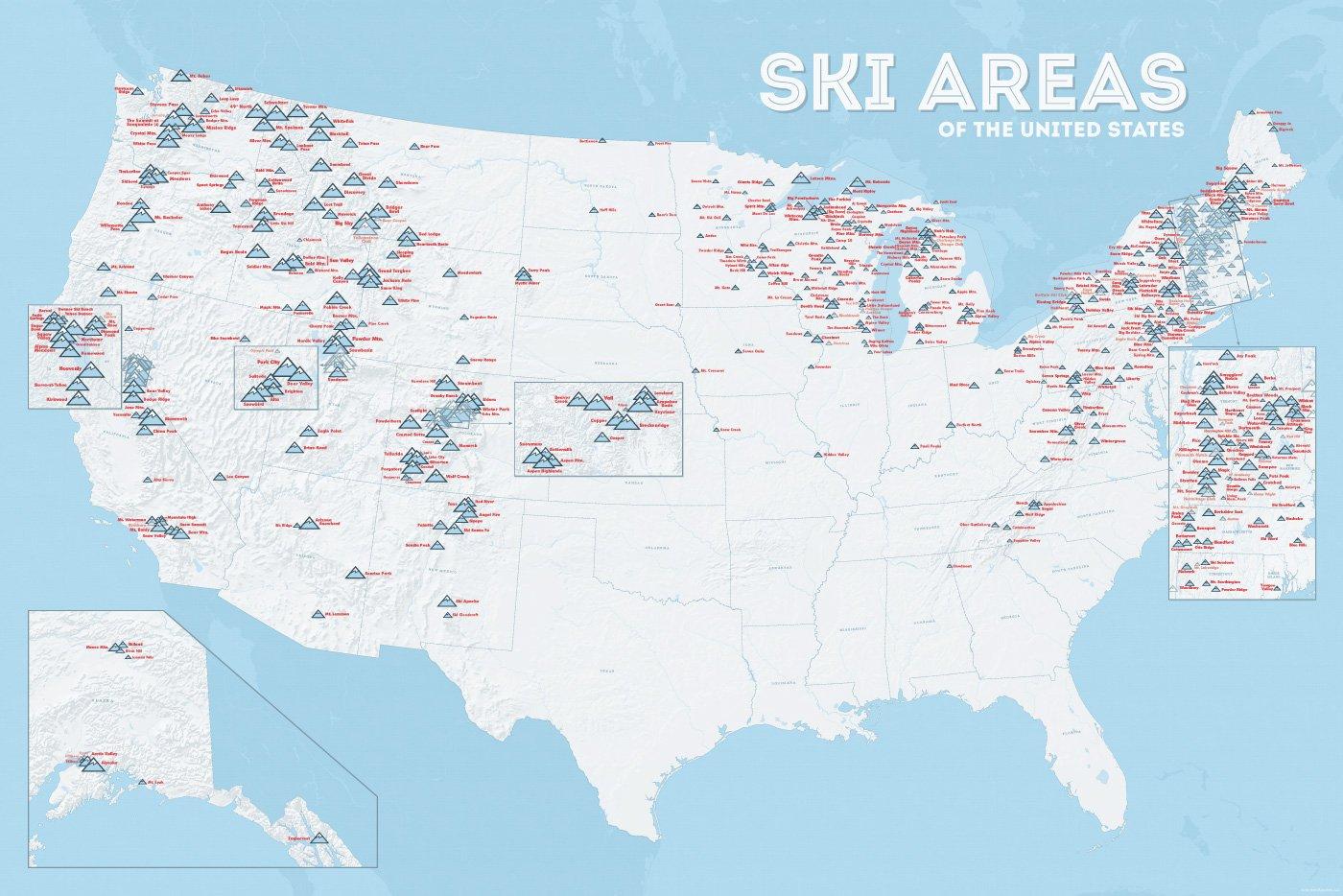
| Name | Orte im Gebiet | Staat | Seehöhe in m |
Liftanlagen1 | Pisten in km |
Weblink | |
| von | bis | ||||||
| Alta Snowbird | Snowbird | Utah | 2365 | 3350 | 1/18/0 | 150 | www.snowbird.com |
| Arapaho Basin | Colorado | 3292 | 3978 | 0/4/0 | 34 | www.arapahoebasin.com | |
| Aspen Highlands | Aspen | Colorado | 2460 | 3536 | 0/5/0 | 58 | www.aspensnowmass.com |
| Aspen Mountain | Aspen | Colorado | 2422 | 3417 | 1/7/0 | 50 | www.aspensnowmass.com |
| Aspen Butermilk | Aspen | Colorado | 2398 | 3013 | 0/5/1 | 34 | www.aspensnowmass.com |
| Aspen Snowmass | Aspen | Colorado | 2473 | 3813 | 2/13/5 | 137 | www.aspensnowmass.com |
| Beaver Creek Resort | Vail/Beaver Creek | Colorado | 2268 | 3478 | 0/15/8 | 152 | www.beavercreek.com |
| Big Sky Resort | Big Sky Village | Montana | 2072 | 3403 | 2/18/2 | 186 | www.bigskyresort.com |
| Breckenridge | Breckenridge | Colorado | 2926 | 3962 | 1/25/25 | 146 | www.snow.com |
| Deer Valley | Deer Valley | Utah | 2003 | 2918 | 1/20/0 | 105 | www.deervalley.com |
| Grand Targhee | Wyoming | 2438 | 3048 | 0/4/0 | 40 | www.grandtarghee.com | |
| Heavenly | Nevada | 1914 | 3039 | 2/17/6 | 89 | www.heavenly.com | |
| Jackson Hole Mountain | Teton Village | Wyoming | 1924 | 3185 | 3/9/0 | 150 | www.jacksonhole.com |
| Keystone | Keystone | Colorado | 2829 | 3782 | 2/16/16 | 116 | www.snow.com |
| Klamath Falls | Oregon | n/a | n/a | n/a | n/a | www.oregon.com | |
| Mammoth Mountain | Kalifornien | 2456 | 3362 | 3/23/4 | 112 | www.mammothmountain.com | |
| Park City Mountain | Park City | Utah | 2103 | 3039 | 0/15/0 | 87 | www.parkcitymountain.com |
| Squaw Valley | Squaw Valley | Kalifornien | 1886 | 2664 | 3/26/3 | 88 | www.squaw.com |
| Steamboat | Steamboat Springs | Colorado | 2097 | 3207 | 1/18/0 | 110 | www.steamboat.com |
| Telluride Skiresort | Telluride | Colorado | 2661 | 3735 | 3/11/0 | 98 | www.tellurideskiresort.com |
| The Canyons | Utah | 2061 | 3038 | 2/12/2 | 106 | www.thecanyons.com | |
| Vail | Vail | Colorado | 2450 | 3527 | 1/23/9 | 215 | www.vail.com |

 Idaho-ID

 Maine-ME

 Michigan-MI

 Minnesota-MN

 Montana-MT

 New hampshire-NH

 New York-NY

 North Dakota-ND

 Vermont-VT

 Washington-WA

 Wisconsin-WI
 Companies
 Eat and Drink
 International cities
 Animal world
 Geography
 Architecture
 Ski vacation
 Transport and traffic