漢德百科全書 | 汉德百科全书

       
Chinese — German
Catalog Animal world

Naturparks Aïr und Ténéré
/assets/contentimages/Naturparks_Air_und_Tenere.jpg
Zwei Landschaften nebeneinander in der südlichen Sahara: Das Air ein Gebirge, Mondlandschaft, Steinwüste, Felsenmeer, grau, schwarz, menschenfeindlich, schroff.
Gleich daneben die Ténéré mit ihren ockerfarbenen, lieblichen Dünen von stetig wechselnden, erotischen Formen. Vereinzelt Wadis, Täler mit spärlicher Vegetation in denen die letzten Wüstenbewohner als Nomaden zu überleben versuchen. Kamelkarawanen ziehen mit dem Salz der Wüste nach Süden.
Der Film - ein Road-Movie, eine Reise durch eine Landschaft die weder Straßen hat noch Wege. Der Film erzählt von der Wüste, die sich ständig verändert. Sie verschiebt ihre Grenze immer weiter nach Süden. Ihr Inneres trocknet immer weiter aus, Menschen und Tiere müssen die Wüste verlassen. In den Oasen wird es einsam. Es bleibt allein die Schönheit der Wüste.

Buch und Regie: Albrecht Heise
Kamera: Rüdiger Kortz
(Quelle:http://www.schaetze-der-welt.de/denkmal.php?id=199)


This image, video or audio may be copyrighted. It is used for educational purposes only. If you find it, please notify us byand we will remove it immediately.
Nationalpark Aigüestortes i Estany de Sant Maurici
http://www.net4info.de/photos/cpg/albums/userpics/10002/Nationalpark_Aigueestortes_i_Estany_de_Sant_Maurici.jpg
This image, video or audio may be copyrighted. It is used for educational purposes only. If you find it, please notify us byand we will remove it immediately.
Uräusschlange/Naja haje
http://www.net4info.de/photos/cpg/albums/userpics/10002/Naja_haje.jpg
This image, video or audio may be copyrighted. It is used for educational purposes only. If you find it, please notify us byand we will remove it immediately.
Nationalpark Écrins/Parc national des Écrins
埃克兰国家公园(法语:Parc national des Écrins),是法国的国家公园,位于法国东南部格勒诺布尔以南、加普以北的多菲内山,其最高峰巴尔德塞克兰峰高达4102米。该区域内包括众多山峰、冰川、河流、湖泊,以及阿尔卑斯山区的各类动物和植被,景色迷人,每年吸引来自各国的游客多达80万。
Der Nationalpark Écrins (französisch Parc national des Écrins) ist der fünfte französische Nationalpark, der besonders den Lebensraum im Hochgebirge schützen soll. Er liegt in den Dauphiné-Alpen zwischen den Städten GrenobleBriançon und Gap. Sein Kernbereich liegt im Écrins-Massiv. Dort wurde bereits 1913 bei La Berarde ein Nationalpark gegründet, der aber nur kurz bestand. Erst 1973 wurde der Nationalpark Écrins auf Betreiben von Bergsteigern, Naturschutzverbänden und des Club Alpin Français offiziell gegründet. Der gesamte Park umfasst 1788 km² wobei die besonders geschützte Kernzone eine Fläche von 925 km² hat. Im Nationalpark Écrins wurden knapp 8000 verschiedene Pflanzen- und Tierarten beobachtet. Sie verteilen sich auf unterschiedliche Lebensräume, die von ca. 700 m Höhe bis 4102 m reichen.

埃克兰国家公园(法语:Parc national des Écrins),是法国的国家公园,位于法国东南部格勒诺布尔以南、加普以北的多菲内山,其最高峰巴尔德塞克兰峰高达4102米。该区域内包括众多山峰、冰川、河流、湖泊,以及阿尔卑斯山区的各类动物和植被,景色迷人,每年吸引来自各国的游客多达80万。
This image, video or audio may be copyrighted. It is used for educational purposes only. If you find it, please notify us byand we will remove it immediately.
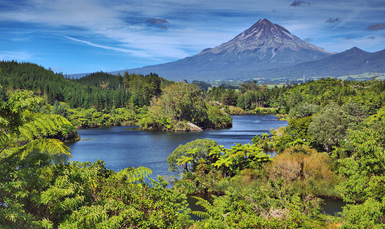
Etosha Nationalpark
/assets/contentimages/Etosha_National_Park.jpg
This image, video or audio may be copyrighted. It is used for educational purposes only. If you find it, please notify us byand we will remove it immediately.
Nationalpark Eifel

This image, video or audio may be copyrighted. It is used for educational purposes only. If you find it, please notify us byand we will remove it immediately.
Egmont National Park
/assets/contentimages/Egmont_National_Park.jpg
艾格蒙特国家公园(Egmont National Park)位于北岛的西海岸,园内卓然耸立着海拔 2518 米高的火山峰——塔拉纳基山(Mt Taranaki, 也被称为艾格蒙特山)。在这里,经历艰辛的攀爬可观赏到高处壮丽的风光,也能沿着步道轻松徒步,遍历葱郁森林、瀑布、湿地与绝妙的景观。
This image, video or audio may be copyrighted. It is used for educational purposes only. If you find it, please notify us byand we will remove it immediately.
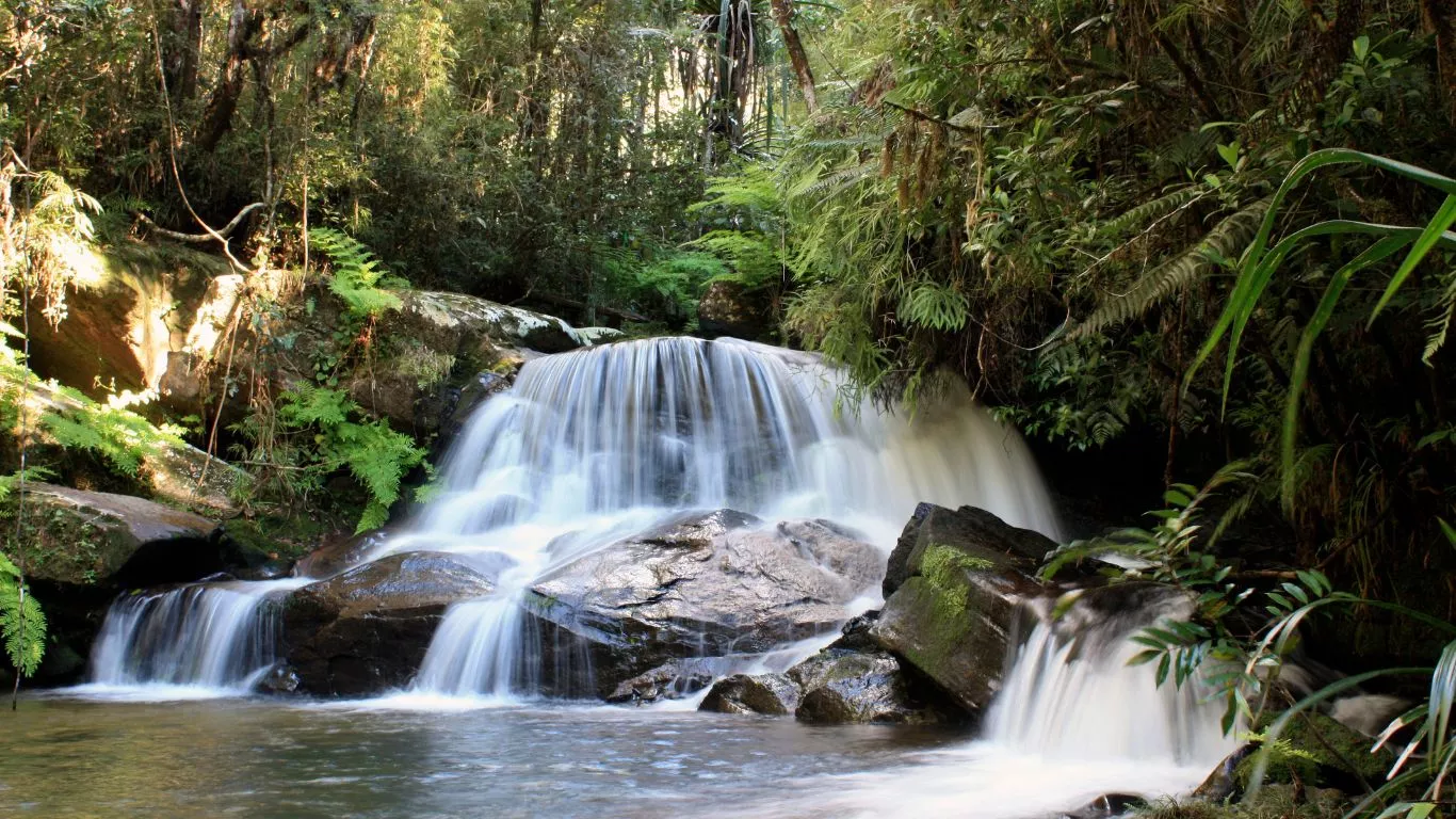
Andasibe Perinet National Park/Parc national d'Andasibe-Mantadia
Der Nationalpark Andasibe-Mantadia (französisch: Parc national d’Andasibe-Mantadia) ist ein 1989 eröffneter Nationalpark in der Region Alaotra-Mangoro auf Madagaskar. Antananarivo, die Hauptstadt der Insel, befindet sich in einer Entfernung von rund 100 Kilometern im Westen. Der Nationalpark wird als Schutzgebiet der IUCN-Kategorie II geführt.
安达西贝-曼塔迪亚国家公园Parc national d'Andasibe-Mantadia)是马达加斯加国家公园,占地155平方公里,距离首都塔那那利佛约140公里,成立于1989年,海拔高度900米至1,250米,每年平均降雨量1,700毫米。

Der Nationalpark Andasibe-Mantadia (französischParc national d’Andasibe-Mantadia) ist ein 1989 eröffneter Nationalpark in der Region Alaotra-Mangoro auf MadagaskarAntananarivo, die Hauptstadt der Insel, befindet sich in einer Entfernung von rund 100 Kilometern im Westen. Der Nationalpark wird als Schutzgebiet der IUCN-Kategorie II geführt.

This image, video or audio may be copyrighted. It is used for educational purposes only. If you find it, please notify us byand we will remove it immediately.
Anthony-Insel
/assets/contentimages/anthony_island.jpg
This image, video or audio may be copyrighted. It is used for educational purposes only. If you find it, please notify us byand we will remove it immediately.
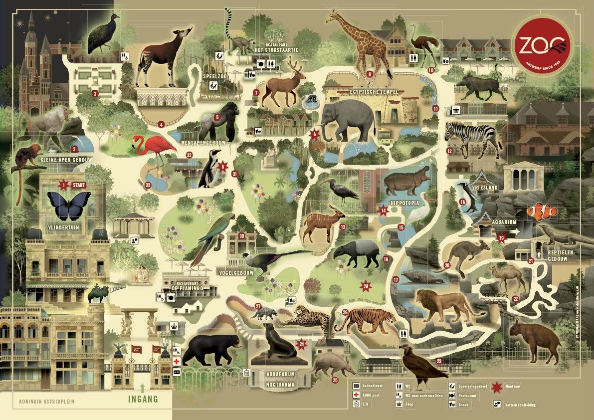
Zoo Antwerpen
This image, video or audio may be copyrighted. It is used for educational purposes only. If you find it, please notify us byand we will remove it immediately.
Wachtel/Coturnix coturnix
/assets/contentimages/Wachtel.jpg
This image, video or audio may be copyrighted. It is used for educational purposes only. If you find it, please notify us byand we will remove it immediately.
sagenhafte Riesenschildkröte
/assets/contentimages/schildkrote.jpg
This image, video or audio may be copyrighted. It is used for educational purposes only. If you find it, please notify us byand we will remove it immediately.