Deutsch-Chinesische Enzyklopädie, 德汉百科

       
German — Chinese
Catalog Geography

新疆旅游地图
http://www.net4info.de/photos/cpg/albums/userpics/10002/Xin20Jiang20Lu20You20Di20Tu20.png
This image, video or audio may be copyrighted. It is used for educational purposes only. If you find it, please notify us byand we will remove it immediately.
西樵山
/assets/contentimages/Xi20Qiao20Shan20.jpg
This image, video or audio may be copyrighted. It is used for educational purposes only. If you find it, please notify us byand we will remove it immediately.
胥河 胥河
胥河,古称胥溪、胥溪河,又称芜申运河、淳溧运河、伍堰河,源出中國江蘇南京高淳固城湖,上游连接长江在安徽芜湖的支流水阳江,下游连接太湖水系荆溪。胥河开凿于春秋时期,是世界上最古老的人工运河。全长296公里,航道等级III级,全年可通行500-1000吨级船舶。

This image, video or audio may be copyrighted. It is used for educational purposes only. If you find it, please notify us byand we will remove it immediately.
雪峰山脈 雪峰山脉
雪峰山脉主体位于湖南中部和西部,是湖南境内重要的山脉,为资江与沅水的分水岭。 主峰苏宝顶海拔1934米。崀山风景区为最新开发的旅游景点,为第四批国家重点风景名胜区。 抗日战争末期的湘西会战最后一仗主战场为雪峰山东麓的洞口县的高沙、江口、青岩、铁山一带。

Xuefeng Shan (chinesisch 雪峰山, Pinyin Xuěfēng Shān – „Schneegipfel-Berge“) ist eine Bergkette in Zentral- und Südwest-Hunan in der Volksrepublik China, die sich in etwa von Nordosten nach Südwesten erstreckt. Sie hat eine Länge von etwa 350 km, eine Breite von etwa 80–120 km und eine durchschnittliche Höhe von 1000 bis 1500 m.[2] Sie grenzt im Norden an die Ebene des Dongting-Sees, im Süden an das Nanling-Gebirge, und trennt das Yunnan-Guizhou-Plateau im Westen vom Jiangnan-Hügelland im Osten. Die Bergkette bildet die Wasserscheide zwischen den Flüssen Yuan Jiang und Zi Shui.

雪峰山脉主体位于湖南中部和西部,是湖南境内重要的山脉,为资江沅水的分水岭。主峰苏宝顶海拔1934米。崀山风景区为最新开发的旅游景点,为第四批国家重点风景名胜区抗日战争末期的湘西会战最后一仗主战场为雪峰山东麓的洞口县的高沙、江口、青岩、铁山一带。

This image, video or audio may be copyrighted. It is used for educational purposes only. If you find it, please notify us byand we will remove it immediately.
雪山山脈 雪山山脉
Das Xueshan-Gebirge oder Hsuehshan-Gebirge (chinesisch 雪山山脈, Pinyin Xuěshān Shānmài, W.-G. Hsueh3-shan1 Shan1-mai4 – „Schneegebirge“) ist ein Gebirge im Norden der Insel Taiwan. Es grenzt im Südosten an das Chungyang-Gebirge (Taiwanisches Zentralgebirge).

雪山山脉台湾五大山脉之一,位于中央山脉的西北方,东以兰阳溪断层谷与大甲溪上游纵谷(合称匹亚南构造线)与中央山脉分界。雪山山脉为台湾最北方的山脉,呈现东北至西南走向,北起新北市贡寮区三貂角,南迄南投县名间乡浊水溪北岸的浊水山,若以此计算,整个山脉长约260公里,宽约28公里。因为位于冬季迎风面水汽较多,也是台湾降雪量最多的地方,故名,山上雪季一般在1月到2月初之间,一直到4月份左右结束。

Das Xueshan-Gebirge oder Hsuehshan-Gebirge (chinesisch 雪山山脈, Pinyin Xuěshān ShānmàiW.-G. Hsueh3-shan1 Shan1-mai4 – „Schneegebirge“) ist ein Gebirge im Norden der Insel Taiwan. Es grenzt im Südosten an das Chungyang-Gebirge (Taiwanisches Zentralgebirge). Manchmal wird es auch als nördlicher Teil desselben angesehen. Im Nordosten reichen seine Ausläufer bis an die Pazifikküste.[1] Wie auch das Chungyang-Gebirge entstand das Xueshan-Gebirge infolge der Kollision der Philippinischen Platte mit der Eurasischen Platte – eine Kollision, die vor etwa 4 bis 5 Millionen Jahren zur Bildung der Insel Taiwan führte. Da diese Kollision der tektonischen Platten immer noch anhält, wird das Gebirge in unregelmäßigen Abständen von Erdbeben heimgesucht. Der höchste Gipfel des Xueshan-Gebirges ist mit 3886 Metern der namensgebende Xueshan („Schneeberg“), der zweithöchste Berg Taiwans. Im Xueshan-Gebirge liegt der Shei-Pa-Nationalpark in dem sich die Gipfel des Xueshan und Dabajianshan befinden.

Im nördlichen Abschnitt wird der Gebirgszug vom Hsuehshan-Tunnel, mit knapp 13 Kilometern einer der längsten Straßentunnel der Welt, unterquert.

This image, video or audio may be copyrighted. It is used for educational purposes only. If you find it, please notify us byand we will remove it immediately.
须弥山
http://www.net4info.de/photos/cpg/albums/userpics/10002/Zhu20Xia20Xu20Mi20Shan20.jpg
This image, video or audio may be copyrighted. It is used for educational purposes only. If you find it, please notify us byand we will remove it immediately.
盱眙縣 盱眙县
盱眙县(Xuyi County), 别名:都梁、 盱台, 是江苏省淮安市下辖县, 位于江苏省西部,淮安市南端。盱眙县境内地势西南高,多丘陵低山;东北低,多平原;呈阶梯状倾斜,高低相差223米,境内有低山、丘岗、平原、河湖圩区等多种地貌。 境内河流、湖泊属淮河水系。在春秋时,名“善道”,属吴国,曾是诸侯会盟的地方。秦始皇统一中国实行郡县制度时,盱眙建县,县名初为“盱台”,后为“盱眙”。下辖乡镇: 镇:盱城镇、官滩镇、马坝镇、旧铺镇、桂五镇、管镇镇、河桥镇、鲍集镇、黄花塘镇、明祖陵镇、铁佛镇、淮河镇、仇集镇、观音寺镇 乡:维桥乡、穆店乡、王店乡、古桑乡、兴隆乡。

This image, video or audio may be copyrighted. It is used for educational purposes only. If you find it, please notify us byand we will remove it immediately.
雅加大岭山脉

This image, video or audio may be copyrighted. It is used for educational purposes only. If you find it, please notify us byand we will remove it immediately.
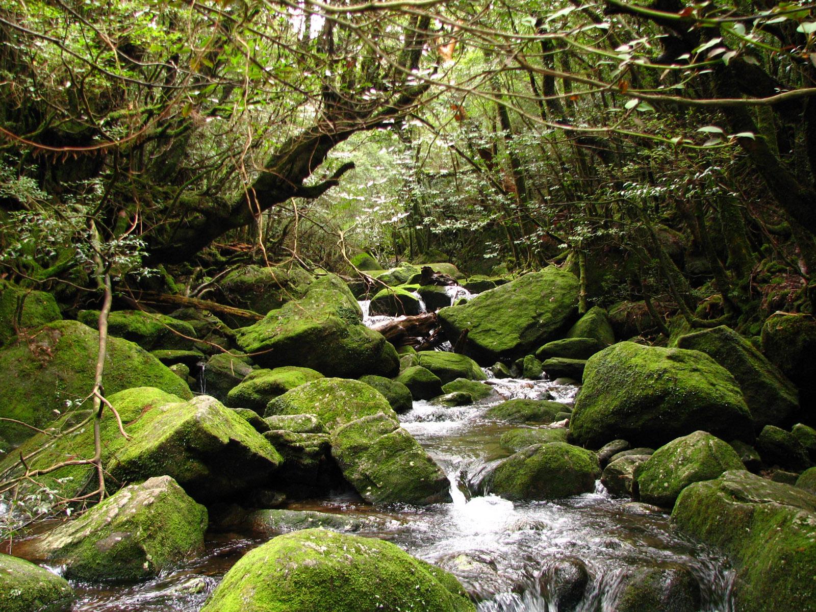
屋久岛
/assets/contentimages/Yakushima.jpg
This image, video or audio may be copyrighted. It is used for educational purposes only. If you find it, please notify us byand we will remove it immediately.
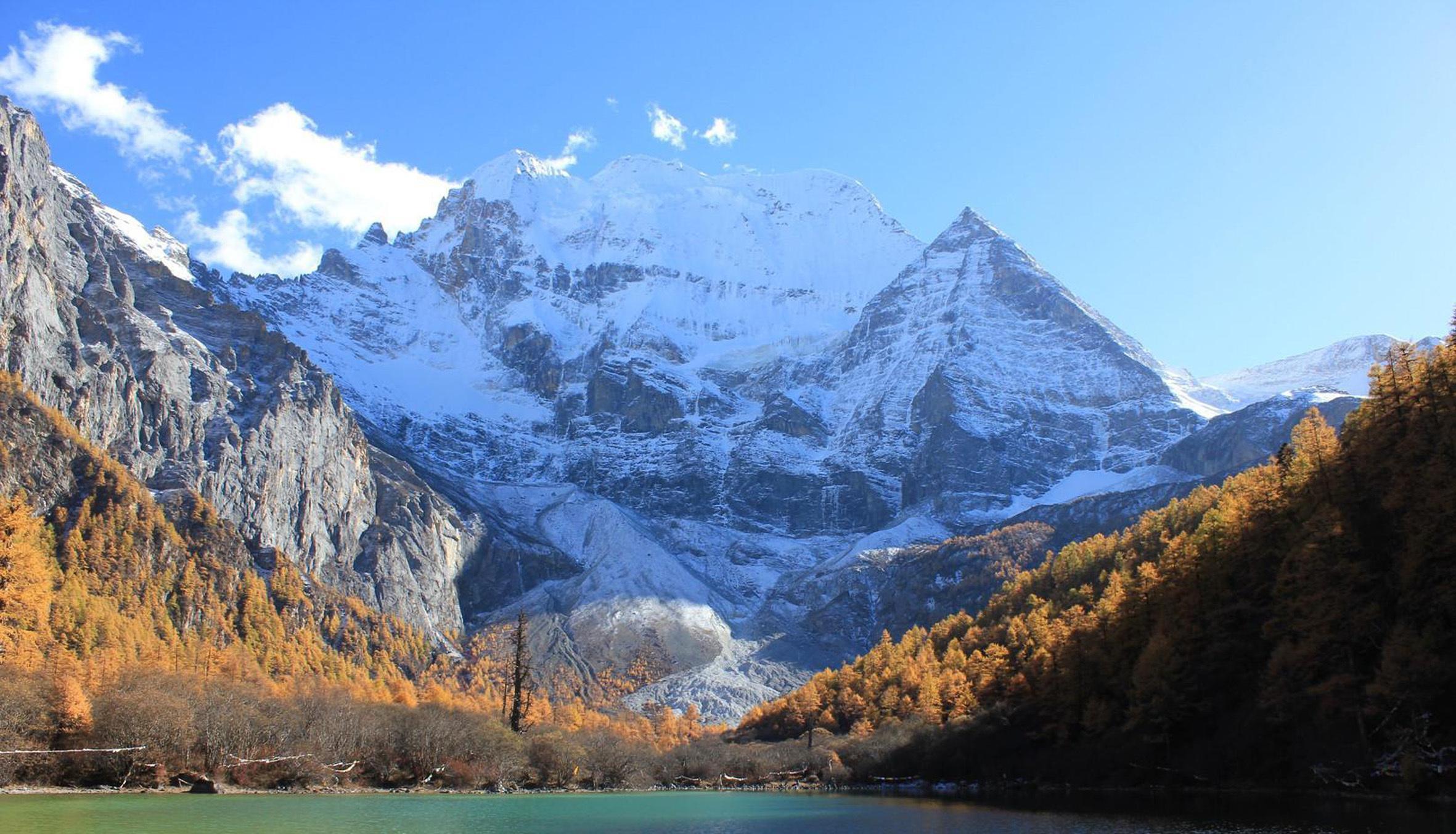
亚拉雪山风景区/雅拉雪山风景区/Yala Jokul Scenic Area
This image, video or audio may be copyrighted. It is used for educational purposes only. If you find it, please notify us byand we will remove it immediately.
雅砻河

This image, video or audio may be copyrighted. It is used for educational purposes only. If you find it, please notify us byand we will remove it immediately.
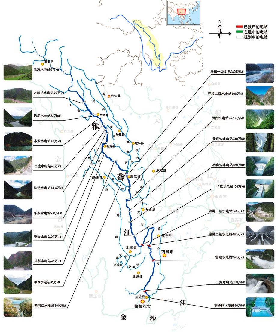
雅砻江

This image, video or audio may be copyrighted. It is used for educational purposes only. If you find it, please notify us byand we will remove it immediately.