
Deutsch-Chinesische Enzyklopädie, 德汉百科
 South Carolina-SC
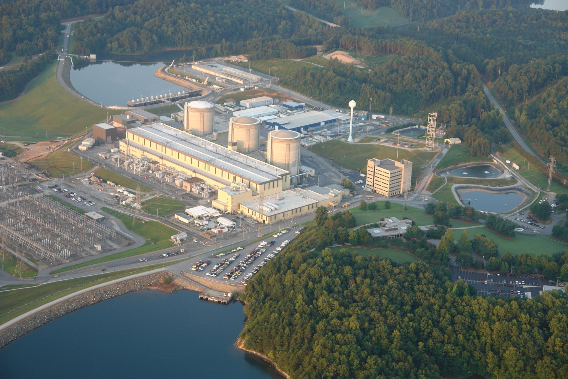
 Druckwasserreaktor/Pressurized Water Reactor

 Energy resource

 Energy resource
 *Electrical power

 Energy resource
 Nuclear power plants

 South Carolina-SC
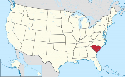
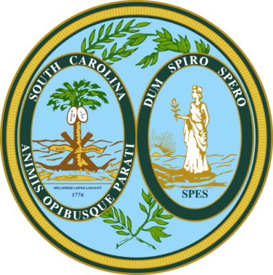
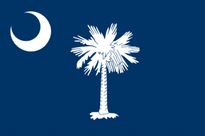
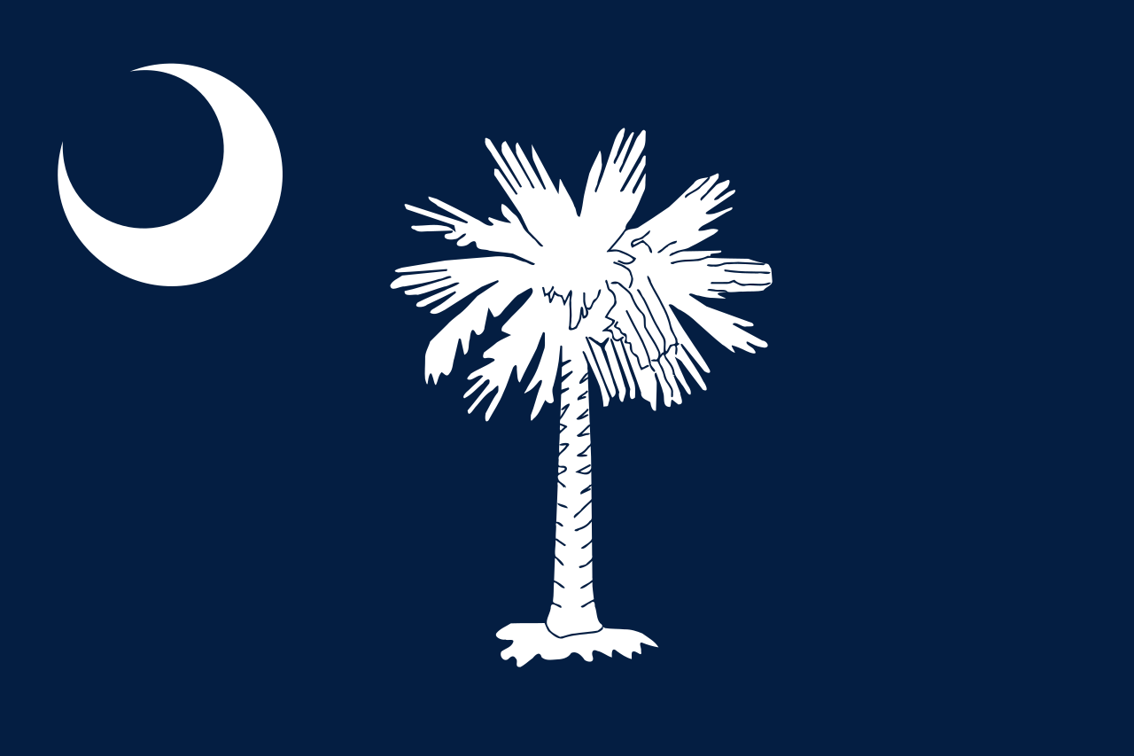
南卡罗来纳州(英语:State of South Carolina),简称南卡州,是美国东南方州份中的一州,曾是美国早期13州联盟里的南卡罗来纳省(Province of South Carolina),在反抗英制高税的美国独立革命时期是重要的成员之一。本州的名称来自于英国国王查理一世。美国2012年人口估算显示,该州人口约有472.4万人。
美国海军以南卡罗来纳州命名过USS South Carolina战舰。 南卡罗莱纳州的面积为八万零五百八十三平方公里。该州可区分为三大地理区域:大西洋海岸平原区、匹德蒙区、以及蓝山脊区。大西洋海岸平原区占了南卡东部三分之二的面积,是由海岸外缘平原及海岸内缘平原所组成。海岸外缘平原大部分是沼泽地,而在海岸内缘平原内则有林地及砂石山丘。匹德蒙区是一处山势不高的地区,在其土壤之下藏有硬石层。蓝山脊区位于南卡的东北角,其中包括了该州最高峰-塞沙佛瑞斯山。南卡主要的河流有:山提河、匹迪河、以及萨瓦纳河。该州主要的城市有:哥伦比亚(Columbia,州首府)、查尔斯顿(Charleston)、北查尔斯顿(North Charleston)、格林维尔(Greenville)、以及斯巴达堡(Spartanburg)。
South Carolina (engl. Aussprache [ˈsaʊθ ˌkæɹəˈlaɪ̯nə]; deutsch Süd-Carolina[1], veraltet auch Südkarolina oder Südkarolinien) ist ein Bundesstaat der Vereinigten Staaten von Amerika und wurde wie North Carolina nach der lateinischen Bezeichnung Carolus für den englischen König Karl I. bezeichnet.[2] Der Beiname South Carolinas ist Palmetto State („Palmettopalmenstaat“). Im äußersten Nordwesten hat South Carolina Anteil an den Appalachen. South Carolina ist 82.932 km² groß – nur geringfügig kleiner als Österreich – und hat über 4,9 Millionen Einwohner, davon ca. 30 % Afroamerikaner. Die Hauptstadt ist Columbia. Hauptstadt bis 1788 war das an der Küste gelegene Charleston. South Carolina hat am 23. Mai 1788 die Verfassung der USA ratifiziert und ist daher 8. Gründerstaat der USA.
サウスカロライナ州(英: State of South Carolina [ˌsaʊθ kærəˈlaɪnə] (![]() 音声ファイル))は、アメリカ合衆国の南東部を構成する州の1つである。2010年国勢調査による人口は4,625,364人だった。北はノースカロライナ州に、南と西はサバンナ川の対岸であるジョージア州に接しており、東は大西洋に面している。
音声ファイル))は、アメリカ合衆国の南東部を構成する州の1つである。2010年国勢調査による人口は4,625,364人だった。北はノースカロライナ州に、南と西はサバンナ川の対岸であるジョージア州に接しており、東は大西洋に面している。
イギリスから最初に独立した13州の中でも、最初に独立を宣言した植民地だった。その植民地はイングランド国王チャールズ2世から、その父チャールズ1世の栄誉を称えて命名された(チャールズ(Charles)のラテン語名はカロルス(Carolus、それの英語読みではカロラス)である)。独立戦争中に連合規約を批准した最初の州となり、アメリカ合衆国憲法は1788年5月23日に批准して8番目となった。南北戦争に先立って、アメリカ合衆国からの脱退を決めたのも最初の州だった(1860年12月20日)。1868年6月25日に合衆国への再加盟が認められた[note 1]。
アメリカ合衆国50州の中で、陸地面積では第40位、人口では第24位である。州内には46の郡がある。州都かつ人口最大の都市はコロンビア市である。
South Carolina (/ˌkærəˈlaɪnə/ (![]() listen)) is a state in the Southeastern United States and the easternmost of the Deep South. It is bordered to the north by North Carolina, to the southeast by the Atlantic Ocean, and to the southwest by Georgia across the Savannah River.
listen)) is a state in the Southeastern United States and the easternmost of the Deep South. It is bordered to the north by North Carolina, to the southeast by the Atlantic Ocean, and to the southwest by Georgia across the Savannah River.
South Carolina became the eighth state to ratify the U.S. Constitution on May 23, 1788. It also became the first state to vote in favor of secession from the Union on December 20, 1860. After the American Civil War, it was readmitted into the United States on June 25, 1868.
South Carolina is the 40th most extensive and 23rd most populous U.S. state. In 2019 its GDP was $249.9 billion. South Carolina is composed of 46 counties. The capital is Columbia with a population of 133,451 in 2018;[6] while its largest city is Charleston with a 2018 population of 136,208.[7] The Greenville–Anderson–Mauldin metropolitan area is the largest in the state, with a 2018 population estimate of 906,626.[8]
South Carolina is named in honor of King Charles I of England, who first formed the English colony, with Carolus being Latin for "Charles".[9]
La Caroline du Sud (en anglais : South Carolina) est un État du Sud des États-Unis, dont la capitale et la plus grande ville est Columbia. Avec une population de 4 625 364 habitants en 2010 sur une superficie de 82 965 km2, l'État est le 24e du pays par sa population et le 40e par sa taille. Divisé en 46 comtés, il est bordé à l'ouest et au sud par la Géorgie, au nord par la Caroline du Nord et à l'est par l'Océan Atlantique. La Caroline du Sud fait partie des Treize Colonies qui fondèrent les États-Unis à la suite de la Guerre d'indépendance. En raison de son climat subtropical humide, l'État est fréquemment touché par des tornades et des cyclones tropicaux durant les mois d'été.
Le territoire est longtemps peuplé par de nombreuses tribus amérindiennes, dont les plus grandes sont les Cherokees et les Catobas. Dès 1562 les colons français huguenots s'y établissent, et créent la ville de Charlesfort ainsi que le Fort Caroline. Les Britanniques s'approprient la région en 1663 et créent la province de Caroline. En 1723, elle devient une province autonome, qui inclut la future Géorgie. Comme les États voisins, la Caroline du Sud prospéra au cours du XVIIIe siècle et du XIXe siècle grâce à une économie de plantation esclavagiste (tabac, coton). Fer de lance de la lutte des colonies contre les Britanniques, elle se révolte lors de la Révolution américaine et établit son propre gouvernement en 1776. En 1777, elle est le premier État à signer les Articles de la Confédération et devient le huitième État de l'Union le 23 mai 1788. Fortement ségrégationniste, la Caroline du Sud est également le premier État à faire sécession (décembre 1860).
Au cours du XXe siècle, la Caroline du Sud voit sa population augmenter fortement. La vocation agricole de son économie perdure, bien qu'elle se soit diversifiée dans les services et notamment l'éducation universitaire : elle compte d'importantes universités, dont l'université de Caroline du Sud, le College de Charleston (en), l'université Furman et l'université de Clemson. Le Columbia Museum of Art et le Gibbes Museum of Art (en), situé à Charleston, sont les deux principaux musées de l'État. À l'image du Sud profond, la Caroline du Sud est un bastion du Parti républicain, marqué par l'importance du protestantisme baptiste et un conservatisme social. La peine de mort par injection létale y est en vigueur. On y retrouve enfin une grande variété de milieux naturels, entre les régions montagneuses du Piedmont et le début des montagnes Blue Ridge, de grands lacs comme le Lac Marion et les paysages caractéristiques du sud (bayous, palmeraies).
La Carolina del Sud (AFI: /karoˈlina/[3]; in inglese: South Carolina, , /ˌsaʊθ kærəˈlaɪnə/) è uno stato federato degli Stati Uniti d'America. Formatasi dalla provincia della Carolina, la provincia della Carolina del Sud fu una della tredici colonie che dichiarò la propria indipendenza dalla Gran Bretagna durante la rivoluzione americana. La Carolina del Sud è il quarantesimo stato degli Stati Uniti per estensione e il ventiquattresimo stato più popoloso. La Carolina del Sud comprende 46 contee. La capitale dello Stato, nonché la città più popolosa, è Columbia.
A dare il nome allo Stato fu, nel 1663, il re Carlo II d'Inghilterra, in onore di suo padre Carlo I. La Carolina del Sud fu il primo Stato a separarsi dall'Unione per fondare gli Stati Confederati d'America. L'unità USS South Carolina ha preso il suo nome in onore dello Stato.
I due stati dallo stesso nome, del nord e del sud, sono chiamati collettivamente "Le Caroline"[3].
Carolina del Sur (en inglés, South Carolina) es uno de los cincuenta estados que, junto con Washington D. C., forman los Estados Unidos de América. Su capital y ciudad más poblada es Columbia. Está ubicado en la región Sur del país, división Atlántico Sur, limitando al norte con Carolina del Norte y al suroeste con el río Savannah que lo separa de Georgia. Fue admitido en la Unión el 23 de mayo de 1788, como el estado número ocho. A pesar de su pequeña extensión territorial, es uno de los líderes nacionales de producción textil y el segundo mayor productor de tabaco de Estados Unidos, solo superado por Carolina del Norte.
La región que actualmente constituye Carolina del Sur formó parte inicialmente de la colonia inglesa de Carolina, nombrada en homenaje al rey Carlos II de Inglaterra (en latín Carlos es Carolus). En 1712, la colonia de Carolina se separó en dos: Carolina del Norte y Carolina del Sur.
Carolina del Sur fue una de las Trece Colonias que se rebelaron contra el gobierno británico en la Guerra de la Independencia de los Estados Unidos. Carolina del Sur se convirtió en el octavo estado de la Unión el 23 de mayo de 1788. Fue el primer estado en separarse de la Unión, el 20 de diciembre de 1860, tras la elección de Abraham Lincoln, para fundar los Estados Confederados de América. La Guerra Civil estadounidense se inició en Carolina del Sur, el 12 de abril de 1861, cuando tropas confederadas invadieron Fort Sumter. Después del fin de la guerra, el estado sería readmitido nuevamente en la Unión, el 25 de junio de 1868.
El apodo de Carolina del Sur, The Palmetto State, se originó durante la guerra por la independencia. Palmetto es una palabra inglesa que en castellano significa palmera. Al inicio de la revolución, fuerzas británicas intentaron capturar sin éxito el fuerte Moultrie hecho con troncos de palmeras, abundantes en el estado. Al día siguiente, el comandante del fuerte, al ver un navío de guerra británico en llamas, comentó que el humo emitido por el navío en llamas se asemejaba a una palmera.
Ю́жная Кароли́на[1][2] (англ. South Carolina, (/ˌsaʊθ kærəˈlaɪnə/ ![]() слушать) — штат[3] на юго-востоке США, один из так называемых Южно-Атлантических штатов. Законодательный орган — Генеральная Ассамблея (General Assembly), состоит из Сената (Senate) и Палаты Представителей (House of Representatives). Сенат состоит из 46 членов, избираемых сроком на 4 года, избирающих из своего состава временного председателя Сената (President Pro Tempore). Палата Представителей состоит из 124 членов, избираемых сроком на 2 года, избирающих из своего состава спикера (Speaker) и временного спикера
слушать) — штат[3] на юго-востоке США, один из так называемых Южно-Атлантических штатов. Законодательный орган — Генеральная Ассамблея (General Assembly), состоит из Сената (Senate) и Палаты Представителей (House of Representatives). Сенат состоит из 46 членов, избираемых сроком на 4 года, избирающих из своего состава временного председателя Сената (President Pro Tempore). Палата Представителей состоит из 124 членов, избираемых сроком на 2 года, избирающих из своего состава спикера (Speaker) и временного спикера

 Alabama-AL

 Alaska-AK

 Delaware-DE

 Florida-FL

 Geography

 Georgia-GA

 Kentucky-KY

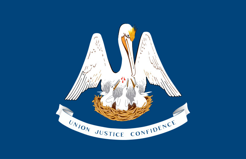 Louisiana-LA

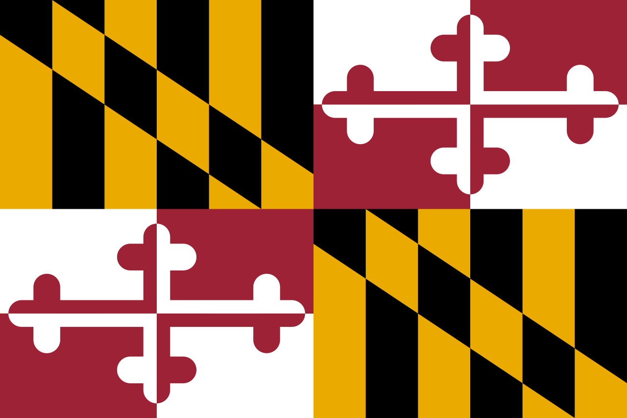 Maryland-MD

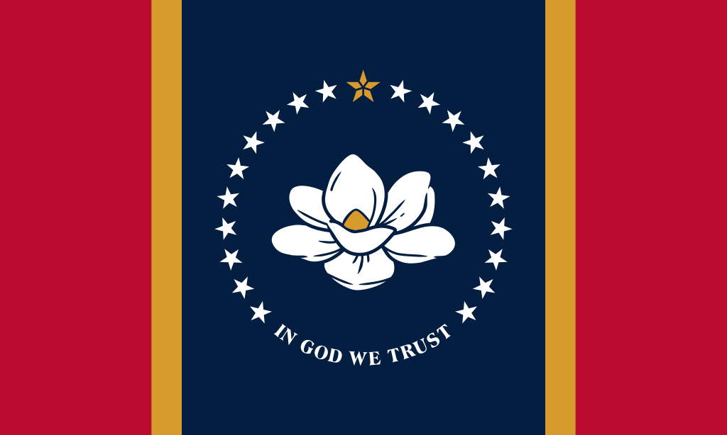 Mississippi-MS

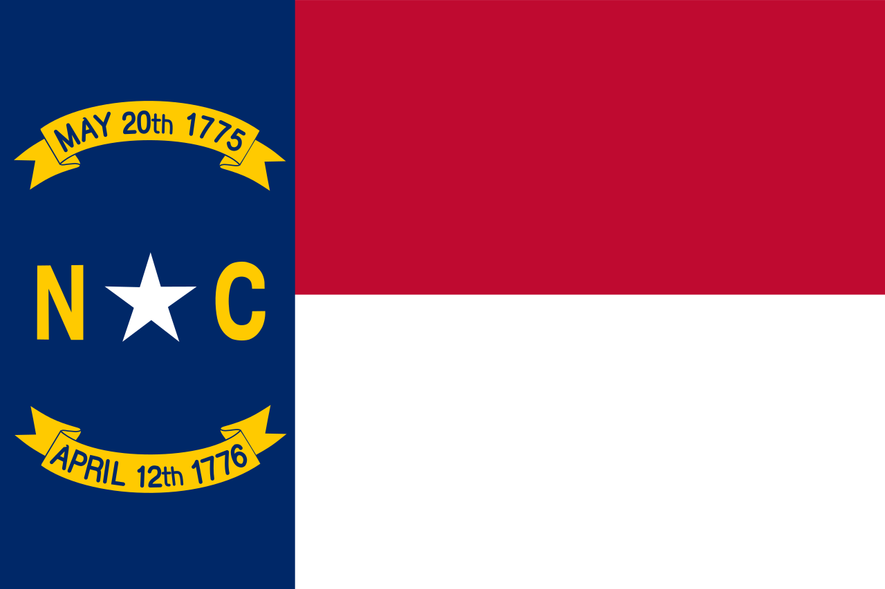 North Carolina-NC

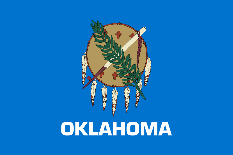 Oklahoma-OK

 South Carolina-SC

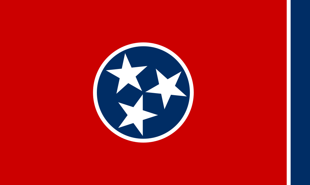 Tennessee-TN

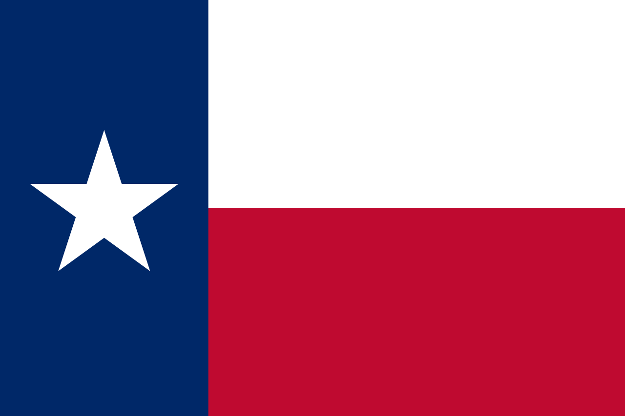 Texas-TX

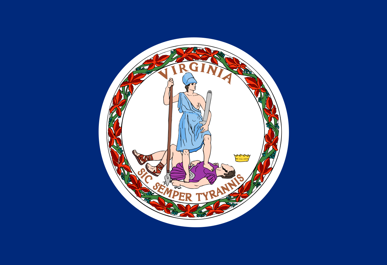 Virginia-VA

 West Virginia-WV


 Connecticut-CT

 Florida-FL

 Geography

 Georgia-GA

 Maine-ME

 Maryland-MD

 Massachusetts-MA

 New hampshire-NH

 New jersey-NJ

 New York-NY

 North Carolina-NC

 Pennsylvania-PA

 Rhode Island-RI

 South Carolina-SC
 United States

 Virginia-VA
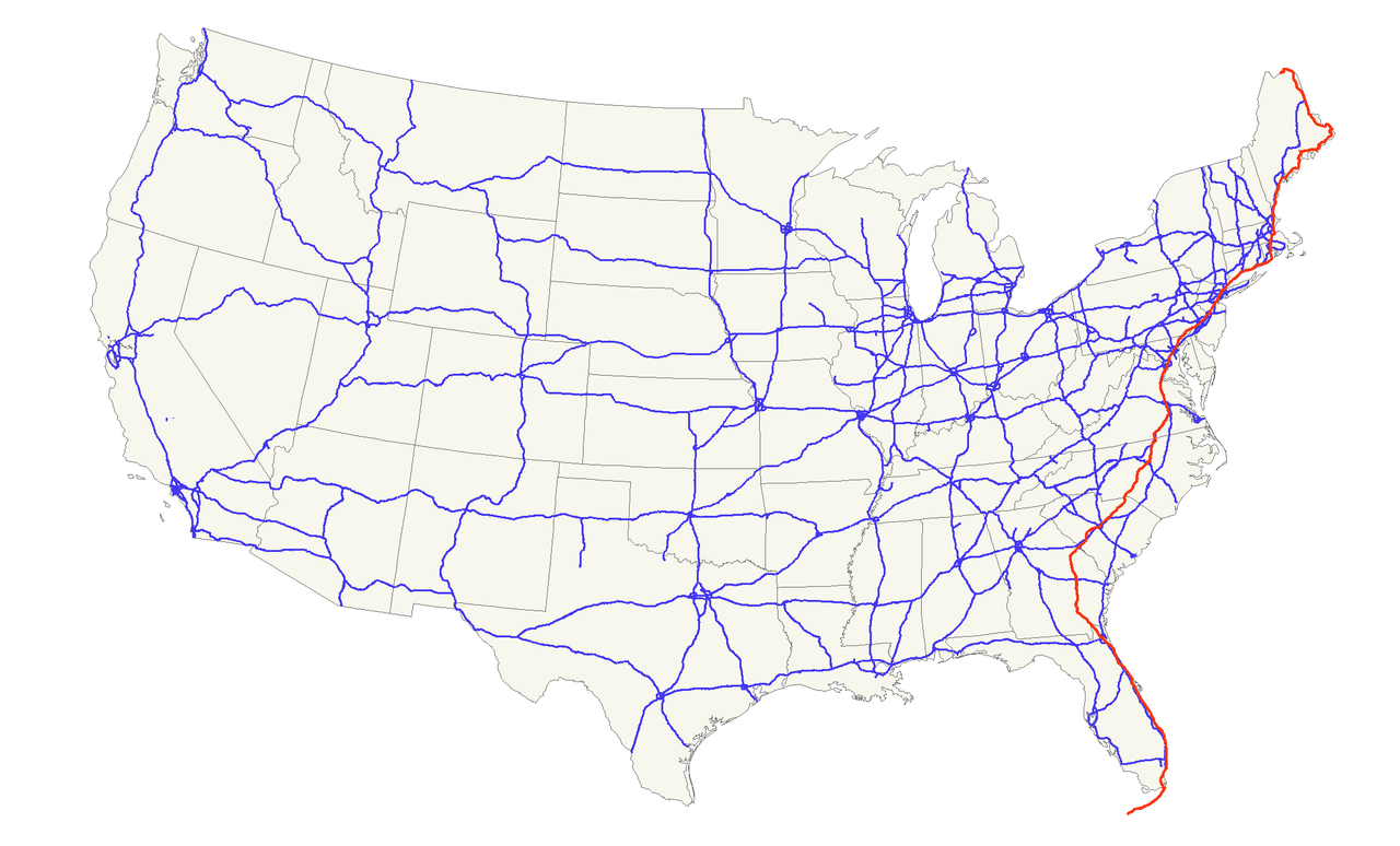
Der U.S. Highway 1 (auch U.S. Route 1 oder US 1) ist ein Highway, der parallel zur US-amerikanischen Ostküste verläuft. Die Gesamtlänge beträgt 3846 Kilometer. Im Norden endet der Highway in Fort Kent in Maine an der kanadischen Grenze. Im Süden ist es Key West an Floridas Küste zum Golf von Mexiko. Die US Route 1 verläuft an vielen Orten parallel zur Interstate 95. Festgelegt wurde sie 1926 zunächst nur zwischen der kanadischen Grenze und dem U.S. Highway 94 in Miami.
Die wichtigsten Städte, die der Highway passiert, sind Miami, Columbia, Richmond, Washington, D.C., Baltimore, Philadelphia, New York City, Boston und Portland.
Der Highway trägt die Nummer eins, weil er der am östlichsten gelegene ist und Nord-Süd-Highways von Ost nach West nummeriert werden.

 Alabama-AL

 Arizona-AZ

 Arkansas-AR

 California-CA

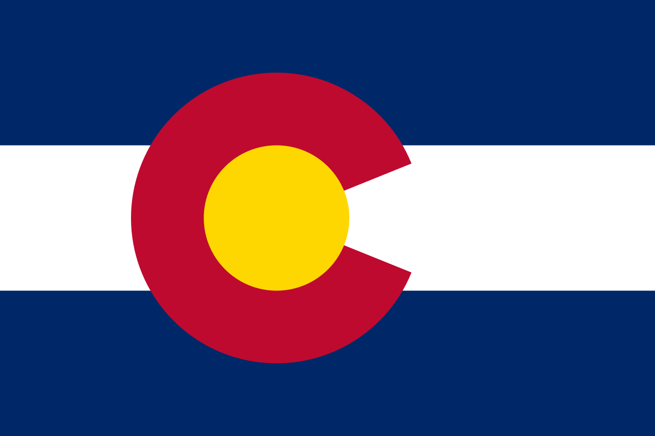 Colorado-CO

 Connecticut-CT

 Energy resource

 Energy resource
 *Electrical power

 Florida-FL

 Georgia-GA

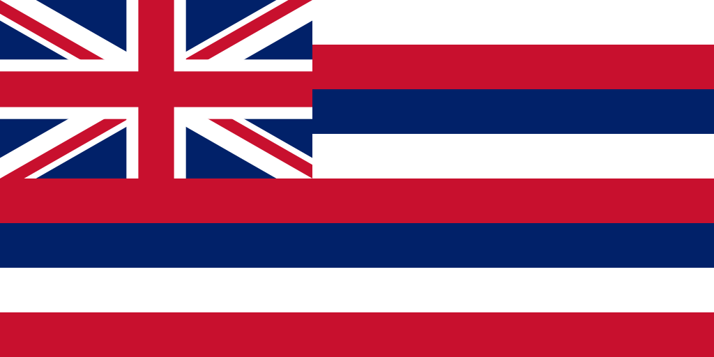 Hawaii-HI

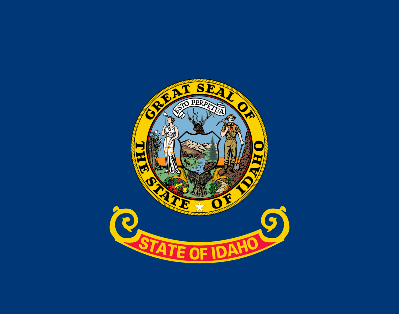 Idaho-ID

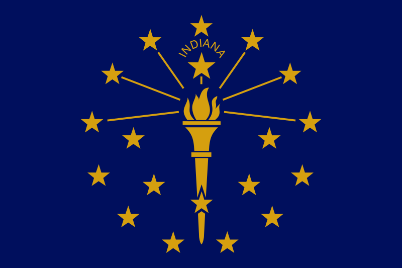 Indiana-IN

 Iowa-IA

 Kentucky-KY

 Louisiana-LA

 Maine-ME

 Maryland-MD

 Massachusetts-MA

 Michigan-MI

 Minnesota-MN

 Montana-MT

 New hampshire-NH

 New jersey-NJ

 New York-NY

 North Carolina-NC

 Oklahoma-OK

 Oregon-OR

 Pennsylvania-PA

 South Carolina-SC

 Texas-TX
 United States

 Vermont-VT

 Virginia-VA

 Washington-WA

 Wisconsin-WI

| Last Modified on November 21, 2022 *Capacity noted in (MW) |
| Plant | Location | Feedstock | Capacity |
|---|---|---|---|
| Agrilectric Power Partners Ltd. | LA | Rice hulls | 12.00 |
| Albany Green Energy | GA | Forest residue, urban wood waste, pecan shells, peanut hulls | 50.00 |
| Allendale Biomass | SC | Mill/forestry residue | 20.00 |
| Altavista Power Station | VA | Woody biomass | 51.00 |
| Arnold O. Chantland Incineration Plant | IA | MSW/Refused-derived fuel (RDF) | 4.00 |
| Barron County Waste-to-Energy & Recycling Facility | WI | MSW | 2.00 |
| Bay Front Power Plant | WI | Wood waste | 56.00 |
| Biomass One | OR | Logging/wood debris | 30.00 |
| Bridgewater Power LP | NH | Woody biomass | 20.00 |
| Buckeye Florida Biomass | FL | Wood waste, black liquor | 69.40 |
| Burgess BioPower | NH | Wood waste | 75.00 |
| Burney Forest Power | CA | Wood waste | 31.00 |
| Cadillac Renewable Energy | MI | Forest residue | 40.00 |
| City of Spokane Waste to Energy Facility | WA | MSW | 22.00 |
| Collins Pine Co. Power Plant | CA | Forest thinnings/residue | 12.00 |
| Covanta Alexandria | VA | MSW | 22.00 |
| Covanta Babylon | NY | MSW | 17.00 |
| Covanta Bristol | CT | MSW | 16.00 |
| Covanta Camden | NJ | MSW | 21.00 |
| Covanta Dade | FL | MSW, wood waste | 77.00 |
| Covanta Delaware Valley | PA | MSW | 87.00 |
| Covanta Essex | NJ | MSW | 66.00 |
| Covanta Fairfax | VA | MSW | 93.00 |
| Covanta Harrisburg | PA | MSW | 21.00 |
| Covanta Haverhill | MA | MSW | 45.00 |
| Covanta Hempstead | NY | MSW | 72.00 |
| Covanta Hillsborough | FL | MSW | 47.00 |
| Covanta Honolulu | HI | MSW | 90.00 |
| Covanta Huntington | NY | MSW | 24.00 |
| Covanta Indianapolis | IN | MSW | 6.50 |
| Covanta Kent | MI | MSW | 17.00 |
| Covanta Lake | FL | MSW | 15.00 |
| Covanta Lancaster | PA | MSW | 33.00 |
| Covanta Lee | FL | MSW | 57.00 |
| Covanta Long Beach | CA | MSW | 36.00 |
| Covanta MacArthur | NY | MSW | 12.00 |
| Covanta Marion | OR | MSW | 13.00 |
| Covanta Montgomery | MD | MSW | 63.00 |
| Covanta Niagara | NY | MSW | 50.00 |
| Covanta Onondaga | NY | MSW | 39.00 |
| Covanta Palm Beach Renewable Energy #1 | FL | MSW | 62.00 |
| Covanta Palm Beach Renewable Energy #2 | FL | MSW | 95.00 |
| Covanta Pasco | FL | MSW | 30.00 |
| Covanta Pinellas | FL | MSW | 75.00 |
| Covanta Plymouth | PA | MSW | 32.00 |
| Covanta SECONN | CT | MSW | 17.00 |
| Covanta SEMASS | MA | MSW | 78.00 |
| Covanta Stanislaus | CA | MSW | 22.00 |
| Covanta Tulsa | OK | MSW | 17.00 |
| Covanta Union | NJ | MSW | 42.00 |
| Covanta York | PA | MSW | 42.00 |
| Cox Waste-to-Energy | KY | Wood waste | 5.00 |
| Craven County Wood Energy | NC | Wood chips, forestry residue, mill waste, bark, sawdust, poultry litter | 50.00 |
| Deerhaven Renewable Generating Station | FL | Wood waste | 102.50 |
| Desert View Power | CA | Woody biomass | 45.00 |
| DG Fairhaven Power | CA | Wood waste | 18.00 |
| Dillard Complex Cogeneration Plant | OR | Mill residue | 51.50 |
| Dorchester Biomass | SC | Mill/forestry residue | 20.00 |
| Douglas County Forest Products | OR | Wood residue | 6.00 |
| DTE Stockton Biomass Power | CA | Woody biomass, ag residue | 45.00 |
| Eagle Valley Clean Energy | CO | Forest restoration thinnings/residue | 12.00 |
| Ecomaine Waste-to-Energy Plant | ME | MSW | 14.00 |
| Evergreen Biopower LLC | OR | Mill residue | 10.00 |
| Fernandina Biomass Plant | FL | Mill residuals | 22.50 |
| French Island Generating Station | WI | MSW/RDF, wood waste, railroad ties | 28.00 |
| Genesee Power Station | MI | Landscaping/storm debris, waste wood | 40.00 |
| Grayling Generating Station | MI | Forestry residue, mill waste, bark | 38.00 |
| Green Energy Team LLC | HI | Eucalyptus, albizia | 7.50 |
| GRP-Franklin LLC | GA | C&D waste | 65.00 |
| GRP-Madison LLC | GA | C&D waste | 65.00 |
| Halifax County Biomass Plant | VA | Logging waste, forest slash | 49.90 |
| Hennepin Energy Recovery Center | MN | MSW | 40.00 |
| Hillman Power LLC | MI | Wood waste | 20.00 |
| Honey Lake Power | CA | High-hazard forest material/thinnings | 30.00 |
| Hopewell Power Station | VA | Woody biomass | 51.00 |
| Joseph C McNeil Generating Station | VT | Logging residue, bark, shavings, clean urban wood waste | 50.00 |
| Kapstone Kraft Paper Corp.-Longview | WA | Mill residue, wood waste | 25.00 |
| Kettle Falls Generating Station | WA | Logging/mill residue | 53.00 |
| Koda Energy LLC | MN | Oat/rice hulls, corn, barley and malt screening, urban tree waste | 23.40 |
| L'Anse Warden Electric Company | MI | Wood waste, railroad ties | 20.00 |
| M.L. Hibbard Energy Center | MN | Wood waste | 72.80 |
| Macon Mill | GA | Logging waste | 38.00 |
| McKay Bay Refuse-to-Energy Plant | FL | MSW | 22.00 |
| McKinley Paper Cogeneration Facility | WA | Logging/mill residue | 9.50 |
| Merced Power | CA | Ag waste | 12.50 |
| MMWAC Resource Recovery Facility | ME | MSW | 5.00 |
| Mt. Poso Cogeneration Co. LLC | CA | Wood waste | 44.00 |
| Multitrade Rabun Gap | GA | Woody biomass | 18.00 |
| National Energy-Lincoln | MI | Wood waste | 18.00 |
| National Energy-McBain | MI | Wood waste | 18.00 |
| North Carolina Renewable Power | NC | C&D waste, wood waste, poultry litter | 22.00 |
| North Fork Community Power | CA | High-hazard forest material | 2.00 |
| Novo BioPower LLC | AZ | Wood waste | 27.00 |
| Okeelanta Biomass Cogeneration | FL | Baggasse, natural gas | 74.90 |
| Olmsted Waste-To-Energy Facility | MN | MSW | 9.60 |
| Oswego Energy Recovery Facility | NY | MSW | 4.00 |
| Pacific Ultrapower Chinese Station | CA | Woody biomass | 25.00 |
| Penobscot Energy Recovery | ME | MSW | 25.00 |
| Piedmont Green Power | GA | Urban wood waste, mill and logging residue | 55.00 |
| Plainfield Renewable Energy | CT | C&D/forestry waste | 37.50 |
| Plummer Cogen | ID | Wood waste | 6.20 |
| Potlatch Land & Lumber Power Plant | AR | Bark, sawdust, shavings | 10.00 |
| Rapids Energy Center | MN | Logging/mill residue | 28.60 |
| Red Wing Generating Station | MN | MSW/RDF | 22.00 |
| ReEnergy Black River | NY | Woody biomass | 60.00 |
| ReEnergy Livermore Falls | ME | Forest residue, C&D waste | 39.00 |
| ReEnergy Stratton | ME | Forest/mill residue | 48.00 |
| Resolute Forest Products Coosa Pines | AL | Wood-processing waste | 30.00 |
| Rio Bravo Fresno | CA | Ag/urban wood waste | 24.30 |
| Rio Bravo Rocklin | CA | High-hazard forest material, ag/urban waste | 24.40 |
| RockTenn-Tacoma Mill | WA | Mill residue | 55.00 |
| Roseburg Forest Products Biomass | CA | Wood waste | 13.00 |
| Rothschild Biomass Cogeneration Plant | WI | Urban wood waste, mill residue | 50.00 |
| Savannah River Site Biomass Cogeneration Facility | SC | Forest residue | 20.00 |
| Scotia Cogen | CA | Wood waste | 28.00 |
| SDS Lumber Gorge Energy Division | WA | Logging/mill residue | 10.00 |
| Shasta-Sustainable Resource Management | CA | Wood waste, forest residue | 56.00 |
| Southampton Power Station | VA | Woody biomass | 51.00 |
| Southern Co. Nacogdoches Generating Facility | TX | Forest/wood processing residue | 115.00 |
| SPI-Aberdeen Biomass Power | WA | Logging/mill residue | 18.00 |
| SPI-Anderson Biomass Power | CA | Logging/mill residue | 30.00 |
| SPI-Burlington Biomass Power | WA | Logging/mill residue | 28.00 |
| SPI-Burney | CA | Logging/mill residue | 20.00 |
| SPI-Eugene | OR | Mill, forest residue | 19.80 |
| SPI-Lincoln Biomass Power | CA | Logging/mill residue | 18.00 |
| SPI-Quincy Biomass Power | CA | Mill residue | 35.20 |
| SPI-Sonora Biomass Power | CA | Logging/mill residue | 10.90 |
| St. Paul Cogeneration LLC | MN | Urban wood residue | 33.00 |
| Stoltze Cogeneration Power Plant | MT | Mill residue | 3.00 |
| Stored Solar Bethlehem | NH | Logging residue, forest thinnings | 20.00 |
| Stored Solar Fitchburg | MA | Woody biomass | 17.00 |
| Stored Solar Jonesboro | ME | Woody biomass | 25.00 |
| Stored Solar Ryegate | VT | Woody biomass | 20.00 |
| Stored Solar Springfield | NH | Woody biomass | 19.00 |
| Stored Solar Tamworth | NH | Woody biomass | 20.00 |
| Stored Solar West Enfield | ME | Woody biomass | 25.00 |
| Stored Solar Whitefield | NH | Woody biomass | 15.00 |
| Telogia Power | FL | Logging/mill residue, hog fuel, peanut hulls | 14.00 |
| U.S. Sugar Corp. Cogeneration Plant | FL | Bagasse | 50.00 |
| Virginia City Hybrid Energy Center | VA | *Woody biomass | 120.00 |
| Wadham Energy LP | CA | Rice hulls | 30.00 |
| Westervelt Renewable Energy Moundville | AL | Wood waste | 13.00 |
| WestRock Covington | VA | Logging, papermaking residue | 75.00 |
| Wheelabrator Baltimore | MD | MSW | 64.50 |
| Wheelabrator Bridgeport | CT | MSW | 67.00 |
| Wheelabrator Concord | NH | MSW | 14.00 |
| Wheelabrator Dutchess County | NY | MSW | 9.00 |
| Wheelabrator Falls | PA | MSW | 53.00 |
| Wheelabrator Gloucester | NJ | MSW | 14.00 |
| Wheelabrator Hudson Falls | NY | MSW | 14.00 |
| Wheelabrator Lisbon | CT | MSW | 15.00 |
| Wheelabrator Millbury | MA | MSW | 48.00 |
| Wheelabrator North Andover | MA | MSW | 40.00 |
| Wheelabrator Portsmouth | VA | MSW | 60.00 |
| Wheelabrator Saugus | MA | MSW | 54.00 |
| Wheelabrator South Broward | FL | MSW | 66.00 |
| Wheelabrator Westchester LP | NY | MSW | 60.00 |
| Wilmarth Generating Station | MN | MSW/RDF, woody biomass | 18.00 |
| Woodland Biomass Power | CA | Wood chips, urban wood waste, ag waste | 25.00 |
| Total Plants: 159 | Total capacity(MW): | 5,583.90 |

 Architecture
 Universities in the USA
 Transport and traffic