Deutsch-Chinesische Enzyklopädie, 德汉百科
 俄勒冈州
俄勒冈州

 阿拉巴马州
阿拉巴马州

 阿利桑那州
阿利桑那州

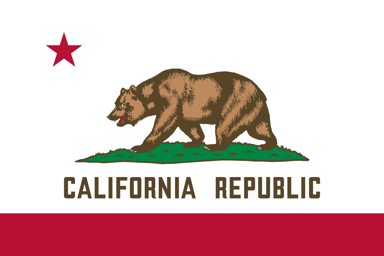 加利福尼亚州

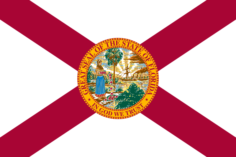 佛罗里达州
佛罗里达州

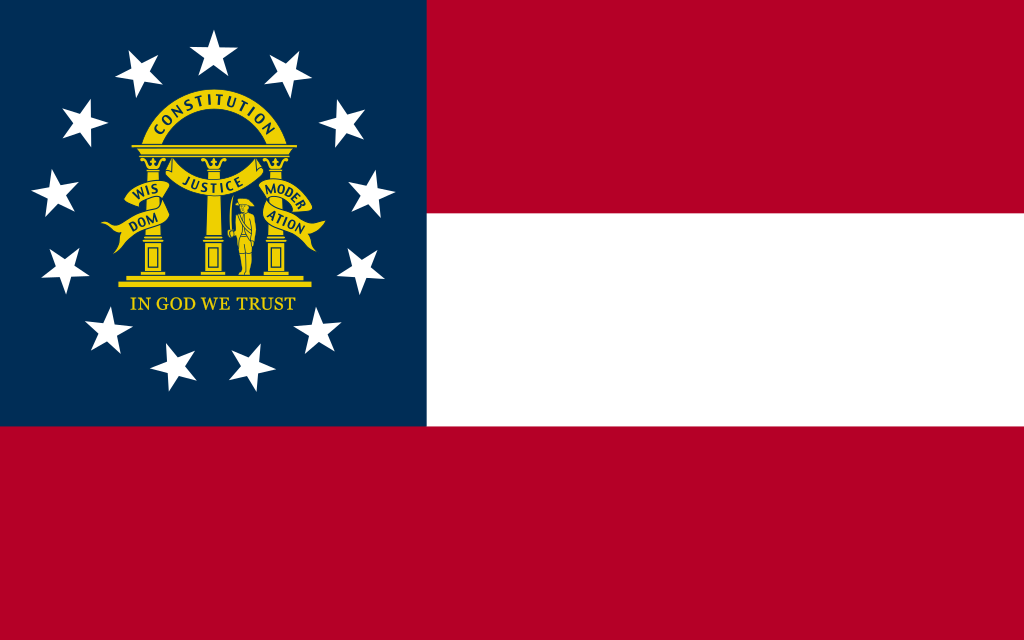 乔治亚州
乔治亚州

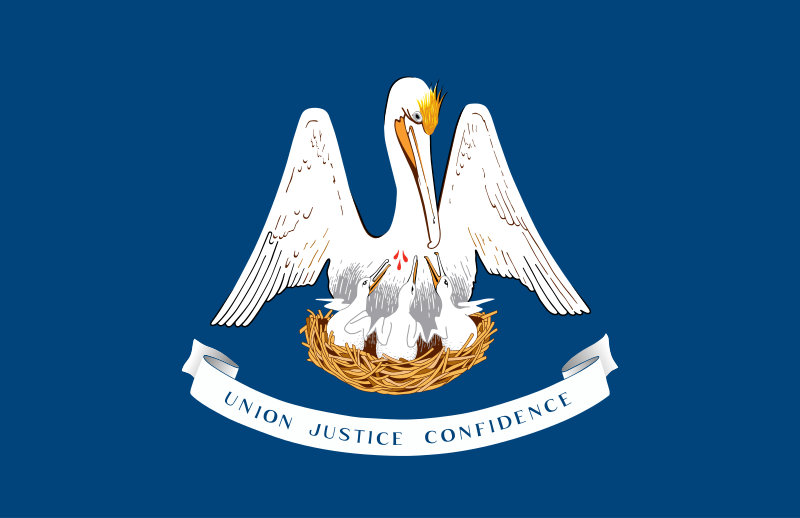 路易斯安那州

 马萨诸塞州
马萨诸塞州

 密西西比州
密西西比州

 内华达州
内华达州

 新泽西州
新泽西州

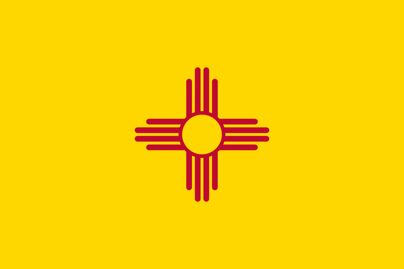 新墨西哥州
新墨西哥州

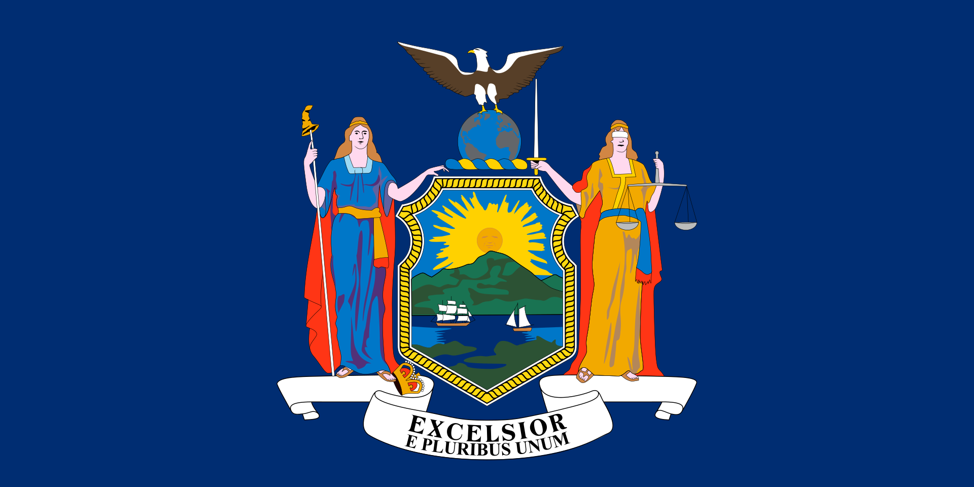 纽约州
纽约州

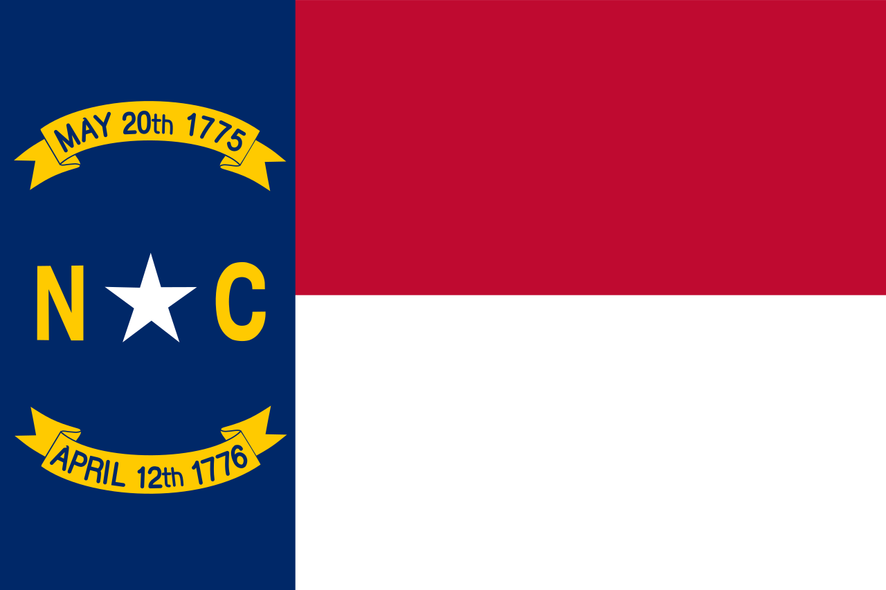 北卡罗来纳州

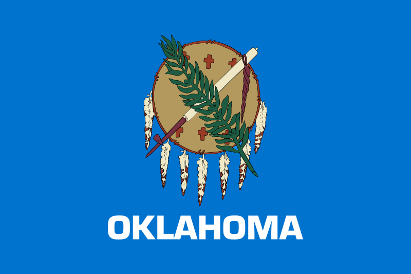 俄克拉荷马州

 俄勒冈州
俄勒冈州

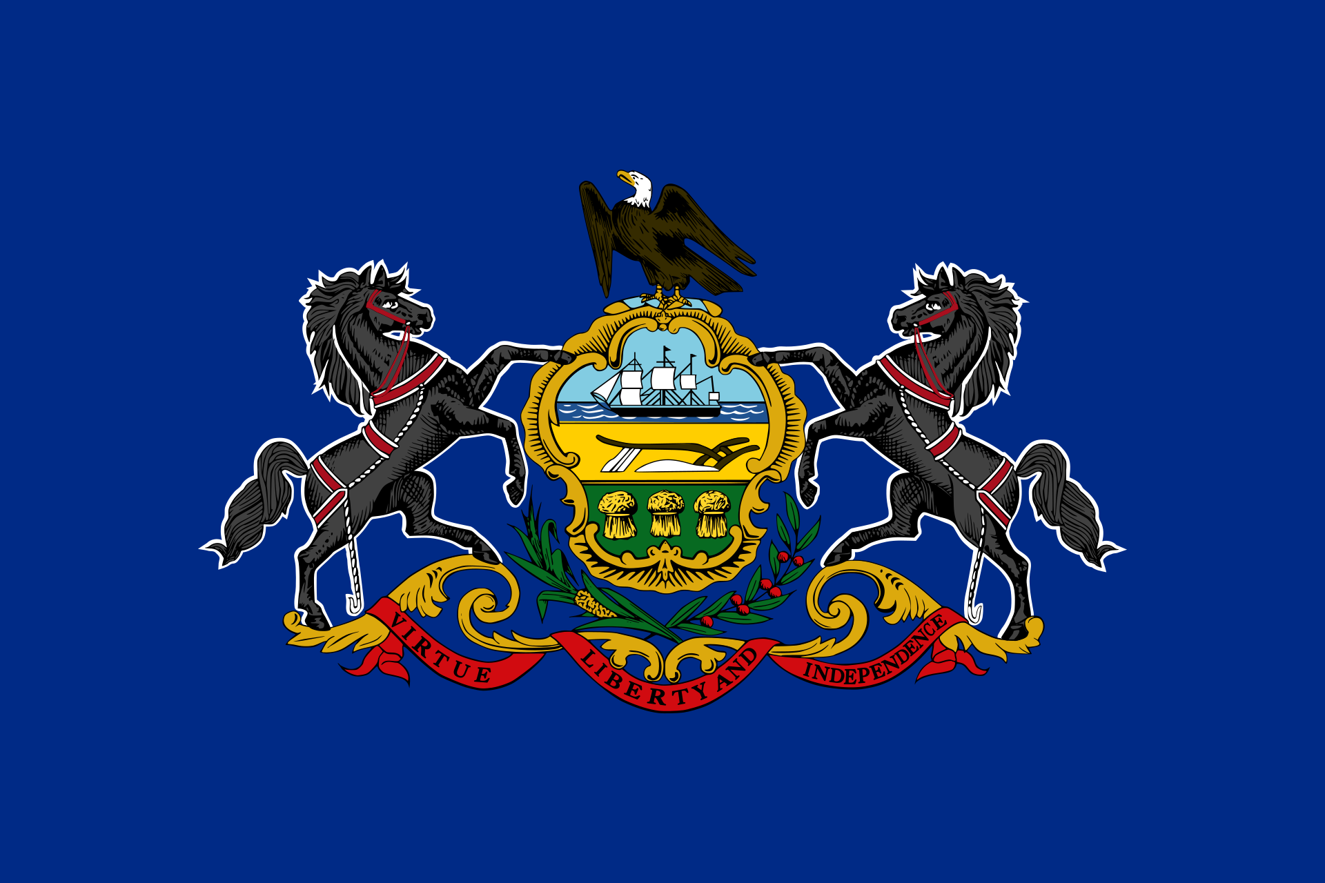 宾夕法尼亚州

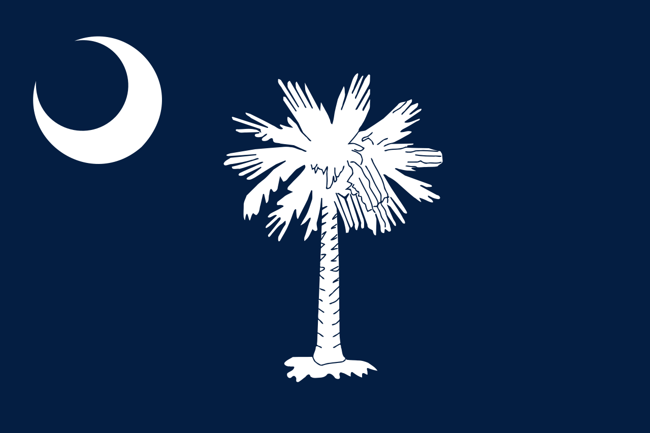 南卡罗来纳州

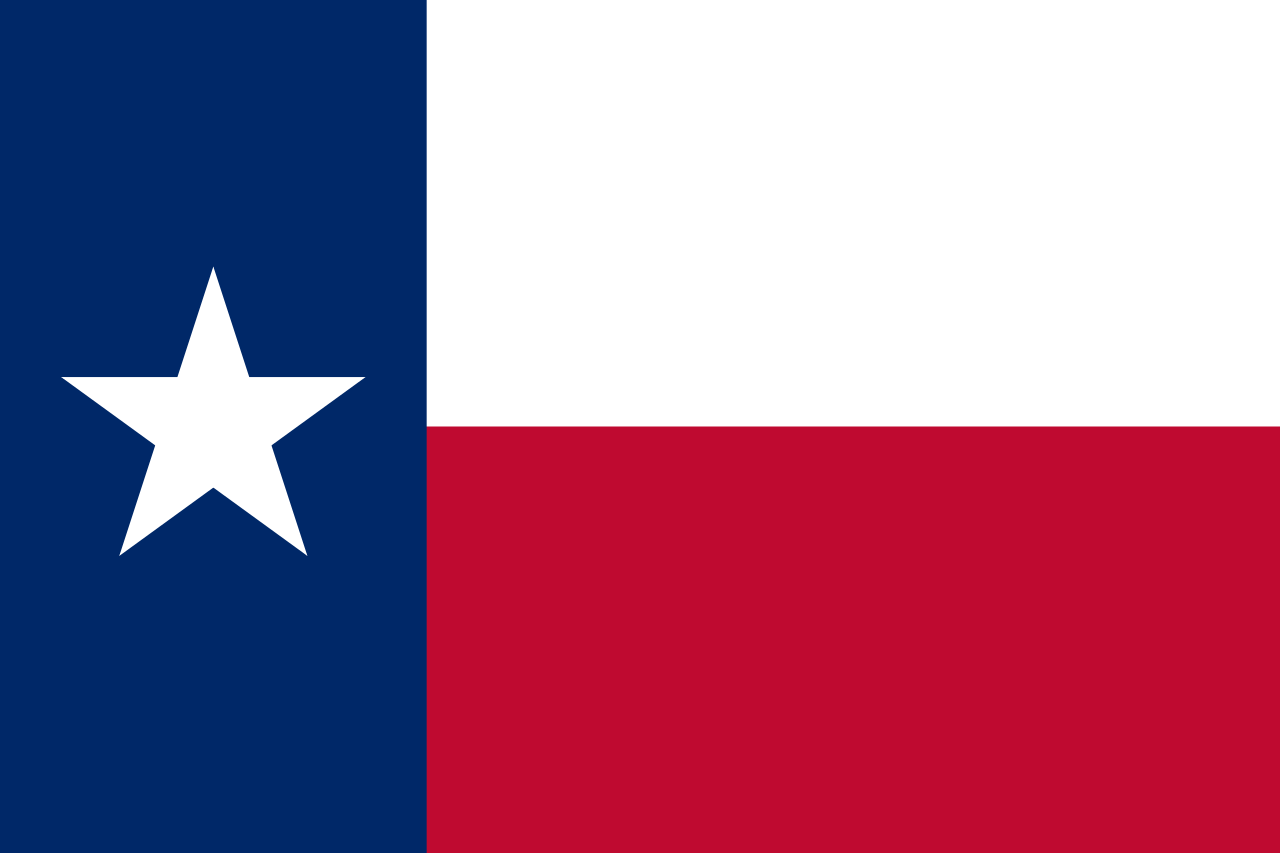 得克萨斯州
得克萨斯州

 企业
企业

 犹他州
犹他州
 美国
美国

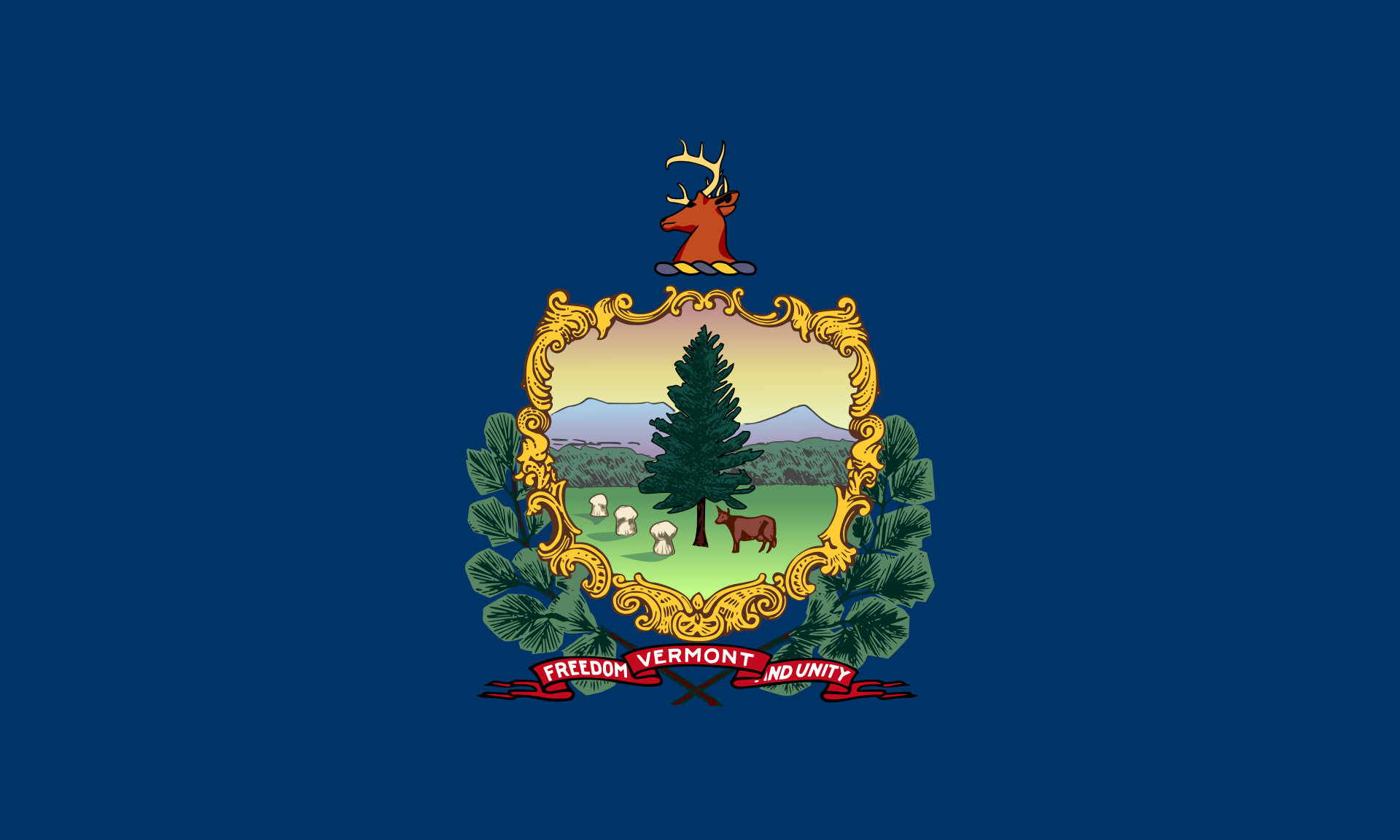 佛蒙特州
佛蒙特州

 弗吉尼亚州
弗吉尼亚州

 华盛顿州
华盛顿州

 华盛顿哥伦比亚特区

 西弗吉尼亚州
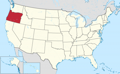
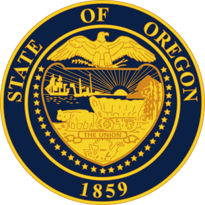
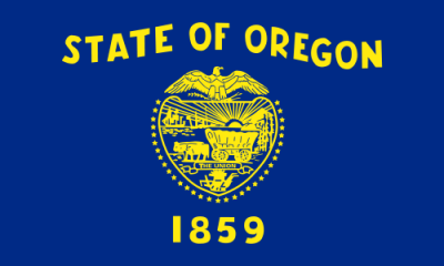
Oregon (engl. Aussprache [ˈɔrɪɡən]) ist ein Bundesstaat der Vereinigten Staaten von Amerika. Er liegt im Westen der Vereinigten Staaten in der Region Pazifischer Nordwesten und wurde im Jahr 1859 als 33. Bundesstaat aufgenommen.
Flächenmäßig ist Oregon der neuntgrößte Bundesstaat, mit einer Bevölkerung von knapp über 3,8 Millionen (2010) liegt er unter den Bundesstaaten hingegen nur an 27. Stelle. Ein Großteil der Bevölkerung konzentriert sich im Willamette Valley im Nordwesten des Staates. Dort liegen mit Portland, Eugene und der Hauptstadt Salem auch die drei größten Städte Oregons.
オレゴン州(英: State of Oregon)は、北米西海岸に位置する、アメリカ合衆国33番目の州である。太平洋に沿って北にワシントン州、南にカリフォルニア州と接し、内陸の南東はネバダ州、東はアイダホ州である。北はコロンビア川、東はスネーク川が州境の大半を形作っている。1843年にオレゴン・カントリーの自治的な政府を樹立した交易業者、探検家および開拓者が訪れるまでは、アメリカ・インディアンの多くの部族が住んでいた。1848年にオレゴン準州が設立され、1859年2月14日にアメリカ合衆国33番目の州に昇格した。
ワシントン州、カリフォルニア州と共にリベラルな気風で、保守的な中西部に対して「レッドウッド・カーテンの向こう側」と称される。
現代の先進国では珍しい直接民主制によって作られ、州、郡からも独立した地域政府メトロを擁する。
セイラムが州都であり、人口では州内第3位である。人口最多の都市はポートランドである。2010年国勢調査による州人口は380万人以上であり、2000年から12%増加した[1]。ポートランドの人口は同年で583,776人であり、全米第29位である。その都市圏人口は2,241,841人(2009年推計)で全米第23位である。州西部、ウィラメット川のあるバレーに人口が集中しており、州内の人口上位10都市のうち8都市がこのバレーに入っている。
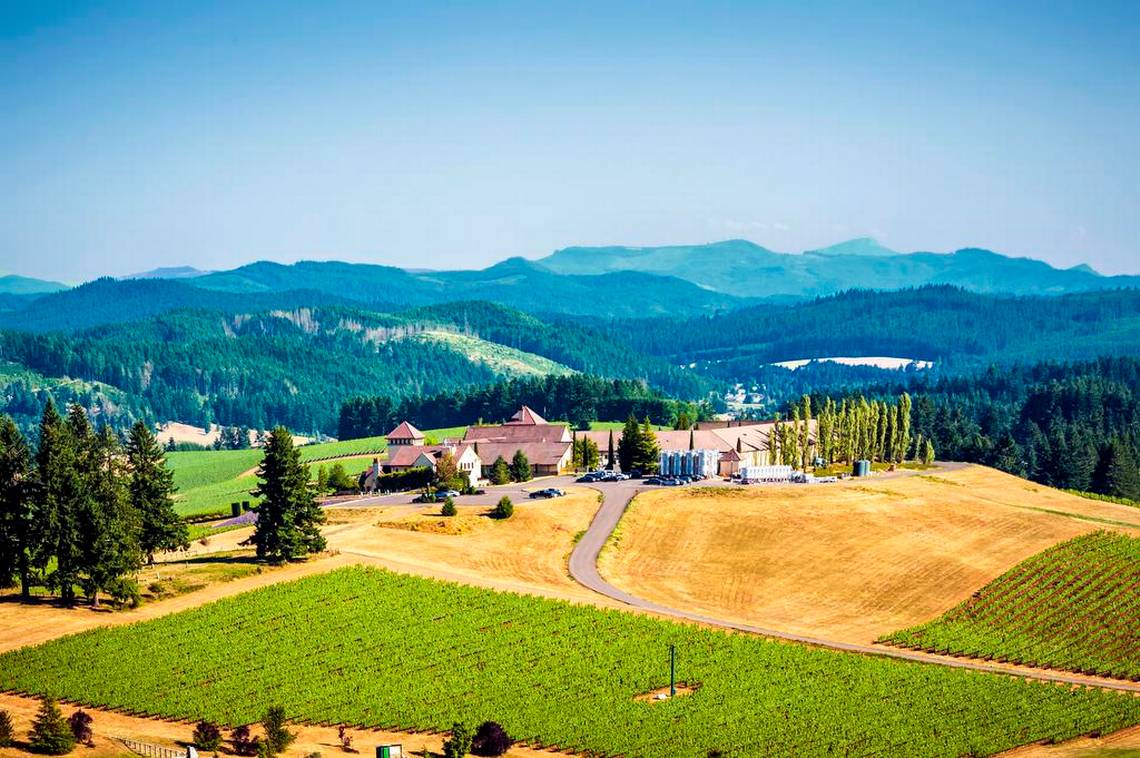
州内には多様な景観がある。風に吹き曝される太平洋岸、カスケード山脈のゴツゴツして氷河に侵食された火山、マルトノマ滝など多くの滝、深い常緑樹の森、また州東部の大半でグレートベースンまで拡がる高原型砂漠などである。雨の多い州西部海岸にある背の高いダグラスファーやセコイアの木は、州東半分を覆う火を着けやすい松やジュニパー(セイヨウネズ)の疎らに生えた林と対照的である。州中央から東には半乾燥の灌木地、プレーリー、砂漠、ステップおよび牧草地が拡がっている。標高11,249フィート (3,429 m) のフッド山が州内最高地点である。クレーターレイク国立公園が州内唯一の国立公園である。
Oregon (/ˈɒr(ɪ)ɡən/ (![]() listen) ORR-(ih)-gən)[7] is a state in the Pacific Northwest region on the West Coast of the United States. The Columbia River delineates much of Oregon's northern boundary with Washington, while the Snake River delineates much of its eastern boundary with Idaho. The 42° north parallel delineates the southern boundary with California and Nevada.
listen) ORR-(ih)-gən)[7] is a state in the Pacific Northwest region on the West Coast of the United States. The Columbia River delineates much of Oregon's northern boundary with Washington, while the Snake River delineates much of its eastern boundary with Idaho. The 42° north parallel delineates the southern boundary with California and Nevada.
Oregon has been home to many Indigenous nations for thousands of years. The first European traders, explorers, and settlers began exploring what is now Oregon's Pacific coast in the early-mid 1500s. As early as 1565, the Spanish began sending vessels northeast from the Philippines, riding the Kuroshio Current in a sweeping circular route across the northern part of the Pacific. In 1592, Juan de Fuca undertook detailed mapping and studies of ocean currents in the Pacific Northwest, including the Oregon coast as well as the strait now bearing his name. Spanish ships – 250 in as many years – would typically not land before reaching Cape Mendocino in California, but some landed or wrecked in what is now Oregon. Nehalem tales recount strangers and the discovery of items like chunks of beeswax and a lidded silver vase, likely connected to the 1707 wreck of the San Francisco Xavier.[8]
In 1843, an autonomous government was formed in the Oregon Country, and the Oregon Territory was created in 1848. Oregon became the 33rd state of the U.S. on February 14, 1859. Today, with 4 million people over 98,000 square miles (250,000 km2), Oregon is the ninth largest and 27th most populous U.S. state. The capital, Salem, is the second-most populous city in Oregon, with 169,798 residents. Portland, with 647,805, ranks as the 26th among U.S. cities. The Portland metropolitan area, which also includes the city of Vancouver, Washington, to the north, ranks the 25th largest metro area in the nation, with a population of 2,453,168.
Oregon is one of the most geographically diverse states in the U.S.,[9] marked by volcanoes, abundant bodies of water, dense evergreen and mixed forests, as well as high deserts and semi-arid shrublands. At 11,249 feet (3,429 m), Mount Hood, a stratovolcano, is the state's highest point. Oregon's only national park, Crater Lake National Park, comprises the caldera surrounding Crater Lake, the deepest lake in the United States. The state is also home to the single largest organism in the world, Armillaria ostoyae, a fungus that runs beneath 2,200 acres (8.9 km2) of the Malheur National Forest.[10]
Because of its diverse landscapes and waterways, Oregon's economy is largely powered by various forms of agriculture, fishing, and hydroelectric power. Oregon is also the top timber producer of the contiguous United States, and the timber industry dominated the state's economy in the 20th century.[11] Technology is another one of Oregon's major economic forces, beginning in the 1970s with the establishment of the Silicon Forest and the expansion of Tektronix and Intel. Sportswear company Nike, Inc., headquartered in Beaverton, is the state's largest public corporation with an annual revenue of $30.6 billion.[12]
L’Oregon /ɔ.ʁe.ɡɔ̃/2 (en anglais : /ˈɔɹɨɡən/3 Écouter) est un État du Nord-Ouest des États-Unis, situé sur la côte Pacifique entre les États de Washington au nord, de Californie au sud, du Nevada au sud-est, et de l'Idaho à l'est. Ses frontières au nord et à l'est suivent pour l'essentiel les cours du fleuve Columbia et de la rivière Snake. Le territoire est intégralement traversé par la chaîne des Cascades qui forme une importante barrière climatique : l'ouest de l'État, de climat océanique, est recouvert par la forêt tempérée humide tandis que sa partie est, semi-aride, est occupée par le Haut désert de l'Oregon. Le parc national de Crater Lake se trouve dans le sud de l'État. La réserve indienne de Warm Springs s'étend sur 2 640,2 km2 dans le nord de l'État, sur le versant Est de la chaîne des Cascades.
L'actuel territoire de l'Oregon était occupé par les peuples amérindiens Bannocks, Chinook, Klamaths et Nez-Percé, il est atteint par l'expédition Lewis et Clark en 1805. À partir des années 1830, la piste de l'Oregon est empruntée par les pionniers dont le nombre supplante rapidement celui des autochtones. Le traité de l'Oregon, signé le 15 juin 1846, fixe la frontière américano-canadienne et aboutit à la création du territoire de l'Oregon dont la partie sud-ouest qui forme l'Oregon actuel est admise le 14 février 1859 comme 33e État de l'Union.
Entre 1902 et 1908, les efforts de la Direct Legislation League font de l'Oregon un précurseur en matière de démocratie directe (référendum, initiative populaire, révocation populaire des élus4,5) par l'instauration de l'Oregon System6,4 qui s'étendra par la suite à d'autres États. L'Oregon est un État traditionnellement démocrate7. Il est surnommé « L’État du castor » et ses habitants sont appelés Orégonais et Orégonaises.
L'Oregon a pour capitale Salem tandis que la ville la plus peuplée est Portland. Cette dernière s'étend au nord de la vallée de la Willamette qui regroupe 70 % de la population orégonaise8. L'ouest de Portland est occupé par le technopole de Silicon Forest qui accueille les principaux centres de recherche d'Intel, l'Oregon est également le berceau de Nike et de Columbia Sportswear Company.
L'Oregon (AFI: /ˈɔreɡon/[2]; in inglese: /ˈɔɹɪgən/) è uno Stato federato degli Stati Uniti d'America situato nella regione del Pacifico nord-occidentale. Confina ad ovest con l'Oceano Pacifico, a nord con lo stato di Washington, a sud con la California, ad est con l'Idaho e a sud-est con il Nevada. Il fiume Columbia delinea gran parte del confine settentrionale dello stato, e il fiume Snake costituisce gran parte del confine orientale. Il 42º parallelo nord segna invece il confine meridionale con California e Nevada. L'Oregon è uno dei tre stati degli Stati Uniti d'America continentali ad avere una costa sull'Oceano Pacifico, e la prossimità con l'oceano influenza significativamente il clima invernale mite dello stato, nonostante la latitudine.
L'Oregon fu abitato da molte tribù indigene prima dell'arrivo dell'insediamento dei commercianti ed esploratori occidentali. Nel 1843 si costituì un governo autonomo nell'Oregon Country, e il Territorio dell'Oregon fu creato nel 1848; l'Oregon divenne il 33º stato degli USA il 14 febbraio 1859. Attualmente, con i suoi 255.000 km², lo stato è il nono stato per superficie e, con una popolazione di 4 milioni di abitanti, è il 27º stato più popolato degli USA. La capitale è Salem, che è la seconda città più popolata dello stato, con 173.442 residenti (dato del 2018). Portland è invece la città più popolata, con 653.115 abitanti (dato del 2018), che si posiziona 26ª nella lista delle città più popolate degli Stati Uniti. L'area metropolitana di Portland conta 2.389.228 abitanti, e si posiziona 23ª tra le maggiori aree metropolitane della nazione; la Willamette Valley, nell'Oregon occidentale, rappresenta la parte dello stato più densamente popolata, dove vi sono otto delle dieci città più popolose.
Il panorama dell'Oregon è diversificato, con una costa ventosa, una Catena delle Cascate costellata di vulcani, una moltitudine di laghi sulle cascate e ad ovest, foreste pluviali temperate, temperate e decidue alle più basse altitudini, e un High Desert che si estende per gran parte dell'area orientale dello stato, fino al Gran Bacino. Le alte conifere, principalmente abeti di Douglas che si trovano sulla costa occidentale molto piovosa, contrastano con i più leggeri pini che ricoprono le porzioni orientali dell'Oregon. Gli abbondanti ontani nell'ovest fissano l'azoto per le conifere. Spostandosi verso est dell'Oregon centrale vi sono sterpaglie, praterie, deserti, steppe e prati. Con i suoi 3.429 metri di altitudine, il Monte Hood è il punto più alto dello stato. Lo Stato è coperto per circa il 60% della sua estensione da foreste e ospita diversi parchi nazionali. Il Parco nazionale del lago Crater, comprende la caldera che circonda il Lago Crater, il più profondo degli Stati Uniti. Il soprannome dello Stato è Beaver State, ossia "lo Stato dei castori", animali molto diffusi nella regione.
Oregón2 (en inglés, Oregon) es uno de los cincuenta estados que, junto con Washington D. C., forman los Estados Unidos de América. Su capital es Salem y su ciudad más poblada, Portland. Se ubica en la región Oeste del país, división Pacífico y limita al norte con el estado de Washington, al este con Idaho —gran parte de esta frontera la forma el río Snake—, al sureste con Nevada, al sur y suroeste con California y al oeste con el océano Pacífico. Con 254 805 km² es el noveno estado más extenso, por detrás de Alaska, Texas, California, Montana, Nuevo México, Arizona, Nevada y Colorado. Fue admitido en la Unión el 14 de febrero de 1859, como el estado número 33.
Los ríos Columbia y Snake forman la mayor parte de sus fronteras al norte y este, respectivamente. El valle del río Willamette en el oeste de Oregón es la región más densamente poblada y en la que la agricultura es más productiva. La zona fue habitada por muchas tribus indígenas antes de la llegada de los comerciantes, exploradores y colonos que formaron el gobierno autónomo de Oregon Country en 1843. El territorio de Oregón fue creado en 1848 y se convirtió en el estado de Oregón el 14 de febrero de 1859.
Oregón tiene uno de los paisajes más diversos que incluye la ventosa costa del Pacífico, con volcanes, glaciares y montañas escarpadas de la cordillera de las Cascadas. Se conoce por sus bosques altos y densos que cubren un tercio del norte del estado y la mitad del sur. Otras áreas incluyen llanuras y desiertos que cubren aproximadamente la mitad del estado en el este y el norte central, y bosques menos densos de pinos en el noreste.
Monte Hood (3.429 m) es el punto más alto del estado. El parque nacional Crater Lake es el único parque nacional en Oregón.
Орегон[1] (англ. Oregon [ˈɔrɪɡən]) (варианты ударения: О́регон[2] и Орего́н[3]) — штат[4] на северо-западе США, один из так называемых Тихоокеанских штатов. Население — 4 142 776 человека (27-е место среди штатов; данные 2017 года). Столица — Сейлем, крупнейший город — Портленд. Другие крупные города — Юджин, Грешем, Бивертон, Медфорд, Корваллис, Спрингфилд, Астория.
Официальный девиз штата — «Летит на собственных крыльях» (лат. Alis Volat Propriis). Официальное прозвище — «Бобровый штат» или «Штат бобра» (англ. Beaver State). Орегон — единственный штат США, имеющий двухсторонний флаг[5]. На одной стороне изображена печать штата, а на оборотной стороне — бобр.

 阿拉斯加州
阿拉斯加州
 阿根廷
阿根廷

 阿利桑那州
阿利桑那州
 玻利维亚
玻利维亚
 巴西
巴西

 不列颠哥伦比亚省

 加利福尼亚州
 智利
智利
 哥伦比亚
哥伦比亚
 哥斯达黎加
哥斯达黎加
 厄瓜多尔
厄瓜多尔

 地理
地理
 危地马拉
危地马拉
 洪都拉斯
洪都拉斯
 加拿大
加拿大
 墨西哥
墨西哥
 尼加拉瓜
尼加拉瓜

 俄勒冈州
俄勒冈州
 巴拿马
巴拿马
 巴拉圭
巴拉圭
 巴拉那州
巴拉那州
 秘鲁
秘鲁
 萨尔瓦多共和国
 里约热内卢州
 南里奥格兰德州
 圣卡塔琳娜州
 圣保罗州
圣保罗州
 乌拉圭
乌拉圭
 委内瑞拉
委内瑞拉
 美国
美国

 华盛顿州
华盛顿州

 育空
育空
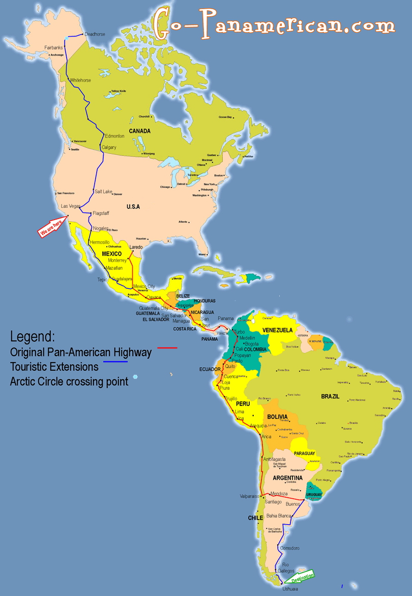
泛美公路(英語:Pan-American Highway,西班牙語:Carretera Panamericana,葡萄牙語:Rodovia Pan-americana,法語:Route panaméricaine)是贯穿整个美洲大陆的公路系统。北起阿拉斯加,南至火地岛,全长约48,000公里,主干线自美国阿拉斯加的费尔班克斯至智利的蒙特港,将近26,000公里。除了巴拿马到哥伦比亚(达连隘口)之间至今仍未修建公路以外,美洲大陆各国都通过这个公路网连接起来[1]。
Die Panamericana (englisch Pan-American Highway, spanisch Carretera Panamericana und Ruta Panamericana) ist ein System von Schnellstraßen, das – mit wenigen Lücken – Alaska mit Feuerland verbindet, sich also über die gesamte Nord-Süd-Ausdehnung des amerikanischen Doppel-Kontinents erstreckt. Das Netzwerk umfasst etwa 48.000 km Schnellstraße und ist in seiner längsten Nord-Süd-Verbindung etwa 25.750 km lang. Auf der Fünften Internationalen Konferenz der Amerikanischen Staaten im Jahre 1923 entstand die Idee einer einzigen kontinentübergreifenden Schnellstraße. Die Konvention über die Carretera Panamericana wurde schließlich am 23. Dezember 1936 auf der Interamerikanischen Konferenz zur Festigung des Friedens in Buenos Aires unterzeichnet.
Die projektierte Fertigstellung des Teilstücks hat viele Gegner, die verschiedene Gründe vorbringen: So würden der tropische Regenwald und die Lebensweisen der dortigen indigenen Völker bedroht; der Drogenhandel aus Kolumbien nach Nordamerika und die Verbreitung der Maul- und Klauenseuche in Südamerika würden gefördert.
Die Panamericana passiert viele Klimazonen, sowohl dichten Dschungel als auch Pässe des Hochgebirges. Außerdem durchquert sie 14 bis 19 verschiedene Staaten und ist deshalb weit entfernt von einer einheitlichen Beschilderung und auch Nutzbarkeit. So kann man Teile der Straße nur in der Trockenzeit befahren, in anderen ist die Benutzung das ganze Jahr über gefährlich. Die Jahresdurchschnittstemperatur reicht vom Gefrierpunkt bis zu über 25 °C.

波特兰(英语:Portland),又译作砵仑,是一座位于美国西北部的城市,地理位置在俄勒冈州威拉米特河汇入哥伦比亚河的入河口以南不远的地方。城市面积为145平方英里(380平方公里)。截至2016年,城市的人口估计为639,863人[7],是全美国人口第26多的城市。波特兰是俄勒冈州人口最多的城市,也是太平洋西北地区人口第三多的城市,仅次于华盛顿州的西雅图和加拿大的温哥华。整个波特兰都市地区的人口估计为2,424,955人[8],是全美第25大都市统计区。大约60%的人口居住在大波特兰地区。
波特兰的别称是“玫瑰之城”(这个名字最早出自1905年的刘易斯和克拉克远征百年纪念博览会),这是因为波特兰的气候特别适宜于种植玫瑰,市内有许多玫瑰园,比如波特兰华盛顿公园里的国际玫瑰试验园。波特兰还有许多其他昵称,比如由于当年城市建设速度较快,砍伐树木剩下的树桩来不及被清理,城市周边布满树桩而被称为“树桩城”;由于河流和桥梁较多而被称为“桥城”、“河城”等等,并获评选为全美最适合育婴的城市。
Portland ist eine Stadt im Nordwesten der Vereinigten Staaten im Bundesstaat Oregon. Portland ist die größte Stadt und das wirtschaftliche Zentrum des Bundesstaates.
Mit 639.863 Einwohnern (Volkszählung 2016) ist Portland nach Seattle im benachbarten Washington und vor dem kanadischen Vancouver die zweitgrößte Stadt in der Region Pazifischer Nordwesten. Im Großraum Portland leben über 2,3 Millionen Einwohner. Die Stadt ist Hauptstadt (County Seat) des Multnomah County und Sitz des römisch-katholischen Erzbistums Portland in Oregon.
ポートランド(英語: Portland)は、アメリカ合衆国オレゴン州北西部マルトノマ郡にある都市。同州最大の都市かつ同郡の郡庁所在地である。太平洋岸北西部ではワシントン州シアトル、カナダブリティッシュコロンビア州バンクーバーに次いで3番目に人口が多い。
ポートランドは環境に優しい都市であるとされ、その評価は全米第1位、世界で見てもアイスランドのレイキャヴィークに次いで第2位と言われる[1]。
2009年10月にフォーブス誌は、ポートランドを全米で3番目に安全な都市にランクした[2]。しかし治安については、犯罪発生率で殺人を除く全カテゴリーで全米平均を上回っている[3]。
また、強力な土地利用計画[4]を行っていることで有名で、オレゴン地域政府「メトロ」がサポートするライトレールシステムへの投資でもよく知られる。そして、地ビールや蒸留酒を生産する小規模な醸造所(マイクロブルワリー)や蒸留所(マイクロディスティラリー)が数多く存在し、コーヒーの消費も非常に盛んである。
温暖な気候によりバラの栽培に非常によく適しているため、市内には国際バラ試験農園を筆頭として多くのバラ園が散在し、ポートランドは100年以上に渡り「バラの町」(The City of Roses)の異名で知られ[5][6]、最も一般的な愛称ともなっており[7]、2003年には市の公式愛称に採択された[8]。
Portland is the largest and most populous city in the U.S. state of Oregon and the seat of Multnomah County. It is a major port in the Willamette Valley region of the Pacific Northwest, at the confluence of the Willamette and Columbia rivers. As of 2017, Portland had an estimated population of 647,805,[9] making it the 26th-largest city in the United States, and the second-most populous in the Pacific Northwest (after Seattle).[10] Approximately 2.4 million people live in the Portland metropolitan statistical area (MSA), making it the 25th most populous MSA in the United States. Its Combined Statistical Area (CSA) ranks 18th-largest with a population of around 3.2 million. Approximately 60% of Oregon's population resides within the Portland metropolitan area.[a]
Named after Portland, Maine,[11] the Oregon settlement began to be populated in the 1830s near the end of the Oregon Trail. Its water access provided convenient transportation of goods, and the timber industry was a major force in the city's early economy. At the turn of the 20th century, the city had a reputation as one of the most dangerous port cities in the world, a hub for organized crime and racketeering. After the city's economy experienced an industrial boom during World War II, its hard-edged reputation began to dissipate. Beginning in the 1960s,[12] Portland became noted for its growing progressive political values, earning it a reputation as a bastion of counterculture.[13]
The city operates with a commission-based government guided by a mayor and four commissioners as well as Metro, the only directly elected metropolitan planning organization in the United States.[14] The city government is notable for its land-use planning and investment in public transportation.[15] Portland is frequently recognized as one of the world's most environmentally conscious cities because of its high walkability, large community of bicyclists, farm-to-table dining, expansive network of public transportation options, and over 10,000 acres (4,000 hectares) of public parks.[16] Its climate is marked by warm, dry summers and cool, rainy winters. This climate is ideal for growing roses, and Portland has been called the "City of Roses" for over a century.[17]
Portland [ˈpɔɹtlənd]1 est la plus grande ville de l'Oregon, État du nord-ouest des États-Unis. Située près du confluent du fleuve Columbia (qui marque la frontière de l'État de Washington) et de la rivière Willamette dans le nord-ouest du pays, elle est la troisième ville la plus peuplée du nord-ouest Pacifique, après Seattle et Vancouver. Elle comptait 583 776 habitants lors du recensement de 2010, 29e ville la plus peuplée du pays. Son agglomération comptait 2 226 009 habitants, la 23e aire urbaine du pays.
Portland est réputée comme l'une des villes les plus écologiques (ou « vertes ») du pays. Elle traite 67 % de ses déchets, ce qui est le deuxième meilleur score national après Seattle. La ville et la région sont connues pour leur politique volontariste d'aménagement du territoire et pour leur investissement dans leur métro léger. La ville est également connue pour son équipe de basket-ball, les Trail Blazers de Portland.
Portland a été fondé en 1851 et est le siège du comté de Multnomah. La ville est surnommée « La Cité des Roses » à cause des nombreux jardins de roses dont l'International Rose Test Garden, le plus grand au monde, favorisé par le climat océanique de la région.
Portland (/ˈpɔːɹtlənd/ (GA)) è un comune (city) degli Stati Uniti d'America che si trova tra le contee di Multnomah (della quale è capoluogo), Washington, e Clackamas, nello Stato dell'Oregon. La popolazione era di 647 805 persone al censimento del 2017, il che la rende la città più popolosa dello stato e la ventottesima città più popolosa della nazione.
Portland es una ciudad del estado de Oregón en el noroeste de Estados Unidos, junto a los ríos Columbia y Willamette. Portland tiene una población estimada en 2015 de 632 309 habitantes2 y es la ciudad más poblada del estado de Oregón y la tercera más grande en la región del Pacífico Noroeste, tras Seattle y Vancouver. La ciudad de Portland pertenece al área metropolitana de Portland que tiene una población de 2 226 009 habitantes según el censo de 2010, siendo la vigésima cuarta área metropolitana más poblada de Estados Unidos.3
По́ртленд (англ. Portland) — город, расположенный на северо-западе Соединённых Штатов, у слияния рек Уилламетт и Колумбия в штате Орегон.
Портленд считается одним из самых озеленённых городов Соединённых Штатов[2].
Портленд был зарегистрирован в 1851 году и является административным центром округа Малтнома. Город незначительно простирается и на территории других округов штата, в округе Вашингтон на западе и округе Клакамас на юге. Портленд управляется администрацией, возглавляемой мэром и четырьмя другими руководителями.
Портленд замечателен своим сильным планированием землепользования и инвестициями в так называемое лёгкое метро (Портлендский трамвай), поддерживаемыми Метро — своеобразной региональной управляющей структурой. Город известен значительным количеством небольших пивоварен и винокурен, а также сильным пристрастием жителей к кофе. Он является местом базирования баскетбольной команды НБА — Портленд Трэйл Блэйзерс.

 运输和交通
运输和交通
 时尚世界
时尚世界
 生活时尚
生活时尚
 体育
体育
 科学技术
科学技术

 美国的大学
美国的大学

 建筑艺术
建筑艺术

 美食家
美食家
 农业、林业、畜牧业、渔业

 国际城市
国际城市
 赛车,艇运动


