Deutsch-Chinesische Enzyklopädie, 德汉百科

       
German — Chinese
Catalog Xizang Zizhiqu-XZ

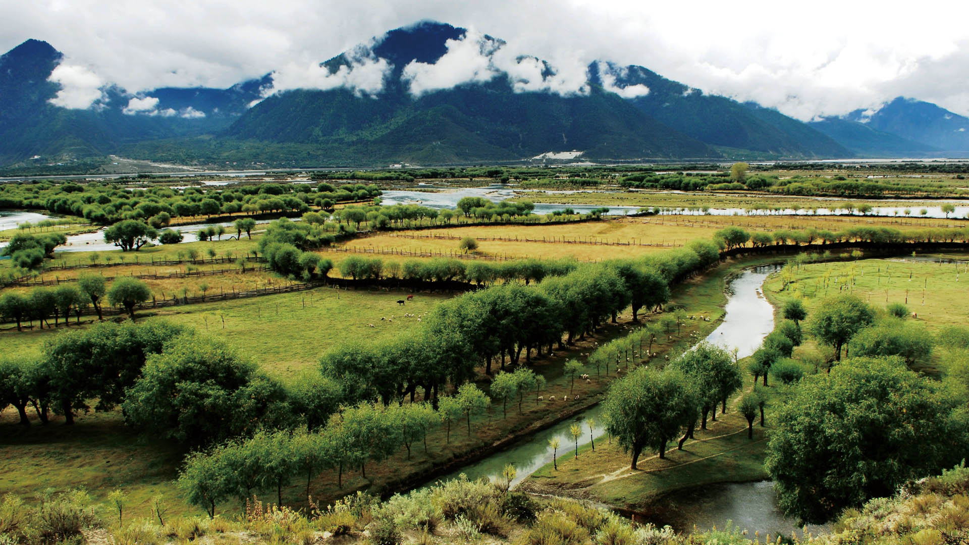
墨脱
http://www.net4info.de/photos/cpg/albums/userpics/10002/Mo20Tuo20.jpg
This image, video or audio may be copyrighted. It is used for educational purposes only. If you find it, please notify us byand we will remove it immediately.
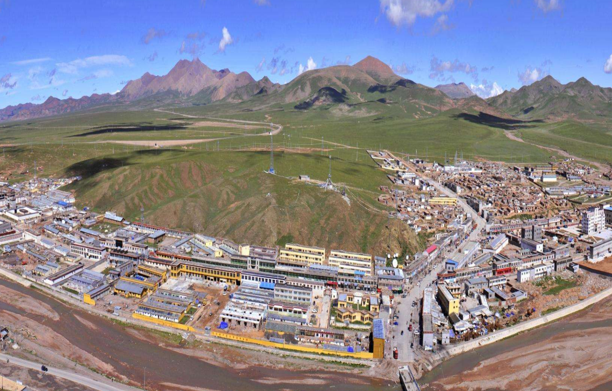
那曲地区
This image, video or audio may be copyrighted. It is used for educational purposes only. If you find it, please notify us byand we will remove it immediately.
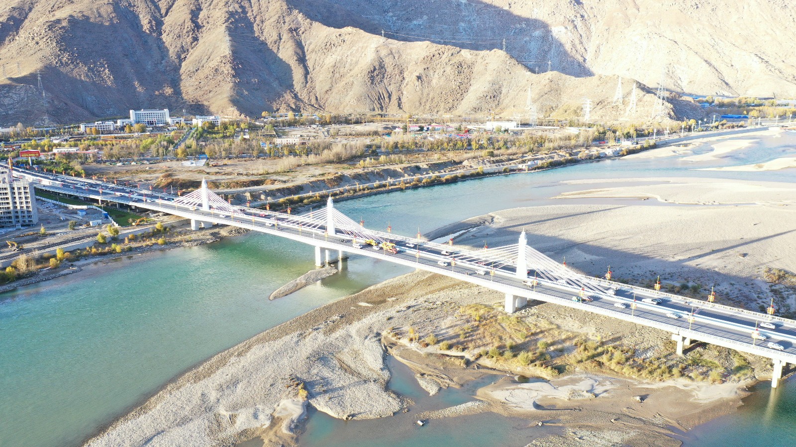
纳金大桥

This image, video or audio may be copyrighted. It is used for educational purposes only. If you find it, please notify us byand we will remove it immediately.
纳木错/Namu Cuo/Tengri-Nor
纳木措(藏文:གནམ་མཚོ་,威利转写:gnam mtsho,THL:Namtso,藏语拼音:Nam Co)为藏语;(蒙古语:ᠲᠩᠷᠢ ᠨᠦᠦᠷ,鲍培转写:Tngri naγur,西里尔字母:Тенгри нур),蒙古语:Tngri naɣur,音腾格里淖尔,在两语为“天湖” 之意。位于中国西藏中部,现为西藏第二大的湖泊,也是中国第三大的咸水湖。湖的形状近似长方形,东西长70多公里,南北宽30多公里,面积1920多平方公里。湖面海拔4718米,为世界上海拔最高的大型湖泊。湖水平均深度33米,蓄水量768亿立方米。
http://www.net4info.eu/albums/albums/userpics/10003/Na20Mu20Cuo20.jpg

纳木措藏文གནམ་མཚོ་藏语拼音Nam Co,威利:gnam mtsho,THL:Namtso)位于中国西藏中部,是中国第二大的咸水湖,也是西藏最大的湖泊。湖的形状近似长方形,东西长70多千米,南北宽30多千米,面积1920多平方千米。湖面海拔4718米,为世界上海拔最高的大型湖泊。湖水平均深度33米,蓄水量768亿立方米。“纳木错”为藏语,这个湖的蒙古语名称為“腾格里淖爾”,两个名称都是“天湖”之意。
This image, video or audio may be copyrighted. It is used for educational purposes only. If you find it, please notify us byand we will remove it immediately.
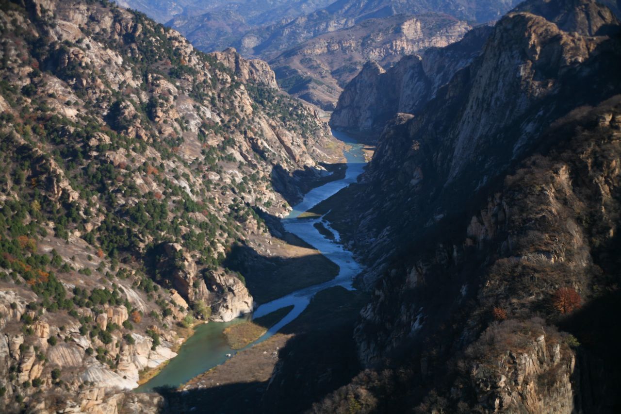
雅鲁藏布大峡谷国家级自然保护区
/assets/contentimages/Ya20Lu20Cang20Bu20Da20Xia20Gu20.jpg
This image, video or audio may be copyrighted. It is used for educational purposes only. If you find it, please notify us byand we will remove it immediately.
青藏高原可可西里自然保護區 青藏高原可可西里自然保护区

青海可可西里国家级自然保护区位于青海省玉树藏族自治州西部,总面积450万公顷。是21世纪初世界上原始生态环境保存较好的自然保护区,也是中国建成的面积最大,海拔最高,野生动物资源最为丰富的自然保护区之一。
This image, video or audio may be copyrighted. It is used for educational purposes only. If you find it, please notify us byand we will remove it immediately.
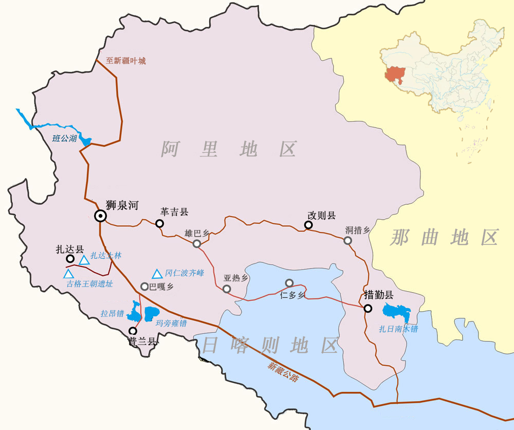
阿里地区
This image, video or audio may be copyrighted. It is used for educational purposes only. If you find it, please notify us byand we will remove it immediately.
羅布林卡 罗布林卡
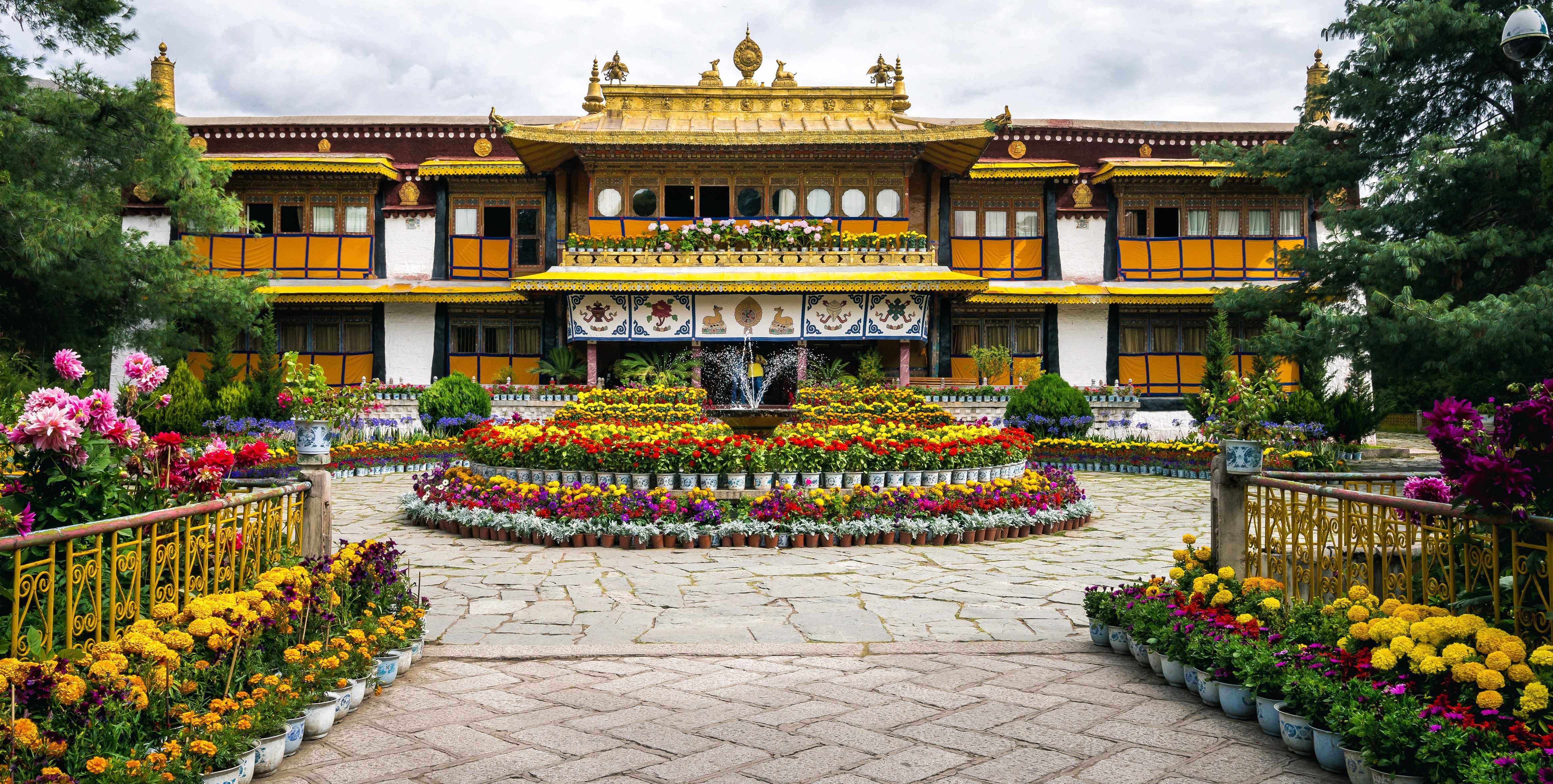
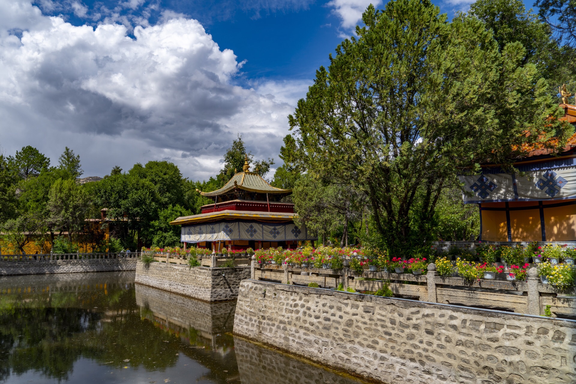
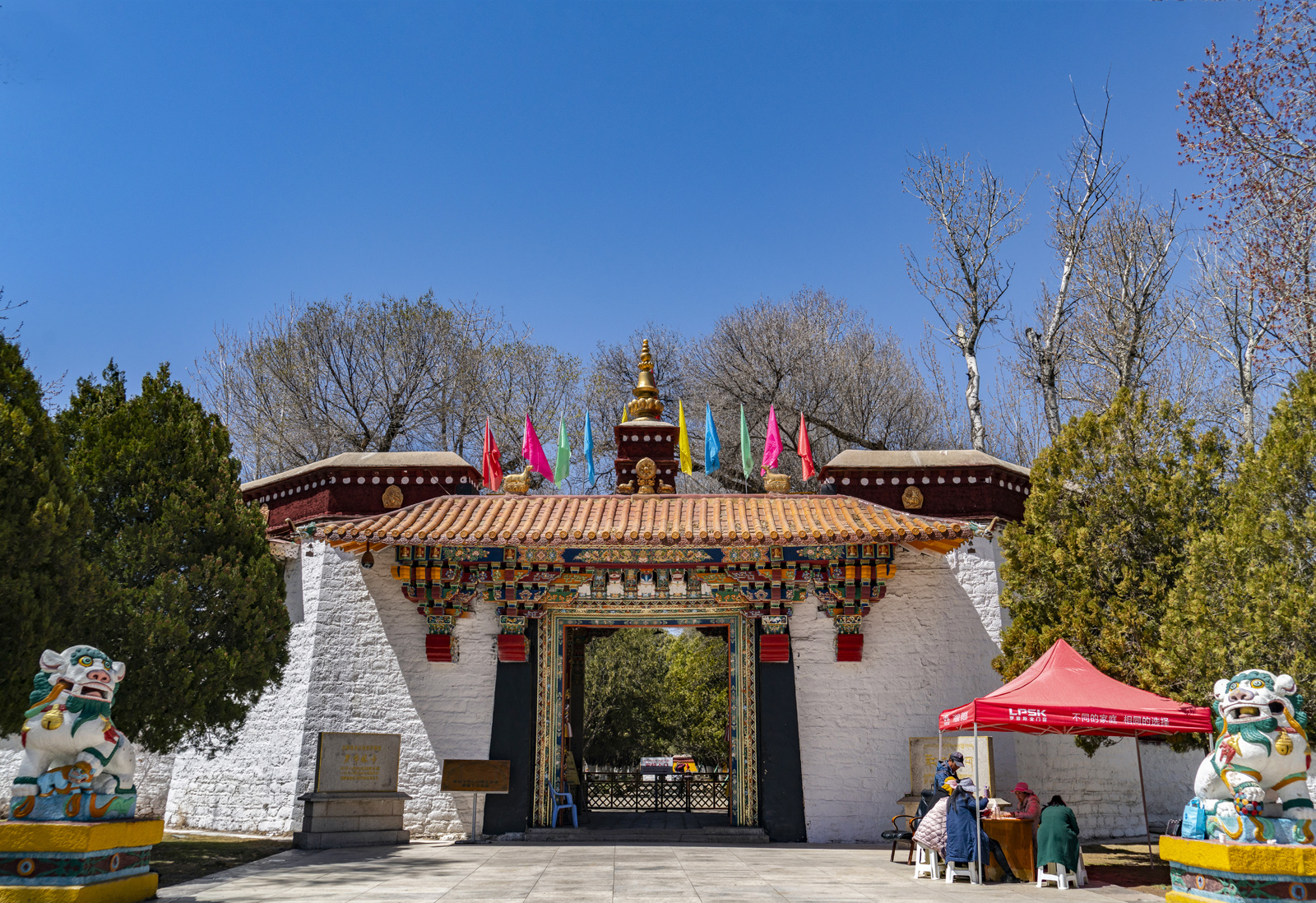
Der Norbulingka ist ein Palast und ein Park in Lhasa (Tibet, China), der als Sommerresidenz des Dalai Lama diente.


罗布林卡位于西藏拉萨西郊。始建于十八世纪40年代(达赖七世),是历代达赖喇嘛消夏理政的地方,是一座典型的藏式风格园林。经过二百多年的扩建,全园占地36万平方米,园内有植物100余种,不仅有拉萨地区常见花木,而且有取自喜马拉雅山南北麓的奇花异草,还有从内地移植或从国外引进的名贵花卉,堪称高原植物园。建筑以格桑颇章、金色颇章、达登明久颇章为主体,有房374间,是西藏人造园林中规模最大、风景最佳的、古迹最多的园林。罗布林卡意为宝贝园林。

Der Norbulingka ist ein Palast und auch der größte und höchstgelegene Park der Welt, er diente als Sommerresidenz des Dalai Lama. Der Norbulingka war als Sommerresidenz des achten Dalai Lama geplant, aber die meisten Gebäude entstanden erst während der Herrschaft des 13. und 14. Dalai Lama. Im Frühling, wenn sich die Luft zu erwärmen begann und die Weiden blühten, verließ der Dalai Lama den Potala und zog in einer großen Prozession zum Norbulingka. Hier lebte der 14. Dalai Lama. Heute ist der Norbulingka ein öffentlich zugängliches Museum. Der Park hat eine Fläche von 36 Hektar. Seit 1988 steht der Norbulingka auf der Liste der Denkmäler der Volksrepublik China und seit 2001 ist er als Teil des „Historischen Komplexes des Potala-Palastes“ Weltkulturerbe der UNESCO.

(Quelle:http://www.chinarundreisen.com/tibet-reisen/lhasa-sehenswuerdigkeit.asp)

This image, video or audio may be copyrighted. It is used for educational purposes only. If you find it, please notify us byand we will remove it immediately.
怒山
怒山,位于中国西南地区云南北部及西藏东部,属横断山脉。北段在西藏境内称他念他翁山脉(标准藏语:ཐ་ཉི་ཐ་ཝུང་རི,罗马化:Tha nyi tha wung ri),呈西北-东南走向;南段在云南境内,称怒山或碧罗雪山(常讹为碧落雪山),近南北走向。西麓有怒江,东麓为澜沧江,为两江的分水岭。北段多5000米以上的高峰,南段山峰多为4000米。最高峰为梅里雪山,海拔6740米,为云南省第一高峰。怒山属于抬升而成的断块山,山高谷深。冰川地貌发育。

怒山,位于中国西南地区云南北部及西藏东部,属横断山脉。北段在西藏境内称他念他翁山脉标准藏语:ཐ་ཉི་ཐ་ཝུང་རི,罗马化:Tha nyi tha wung ri),呈西北-东南走向;南段在云南境内,称怒山或碧罗雪山(常讹为碧落雪山),近南北走向。西麓有怒江,东麓为澜沧江,为两江的分水岭。北段多5000米以上的高峰,南段山峰多为4000米[1]。最高峰为梅里雪山,海拔6740米,为云南省第一高峰。怒山属于抬升而成的断块山,山高谷深。冰川地貌发育[2]

Nu Shan (chinesisch 怒山, Pinyin Nù Shān), auch Nushan oder Nushan-Gebirge usw., ist ein Gebirgszug im Westen der südwestchinesischen Provinz Yunnan und im Osten des Autonomen Gebiets Tibet.

Es ist ein Teil des Hengduan-Gebirgszuges. Das Nushan-Gebirge verläuft von Süd nach Nord und bildet die Wasserscheide zwischen den Flüssen Nu Jiang (Saluen) und Lancang Jiang (Mekong).
This image, video or audio may be copyrighted. It is used for educational purposes only. If you find it, please notify us byand we will remove it immediately.
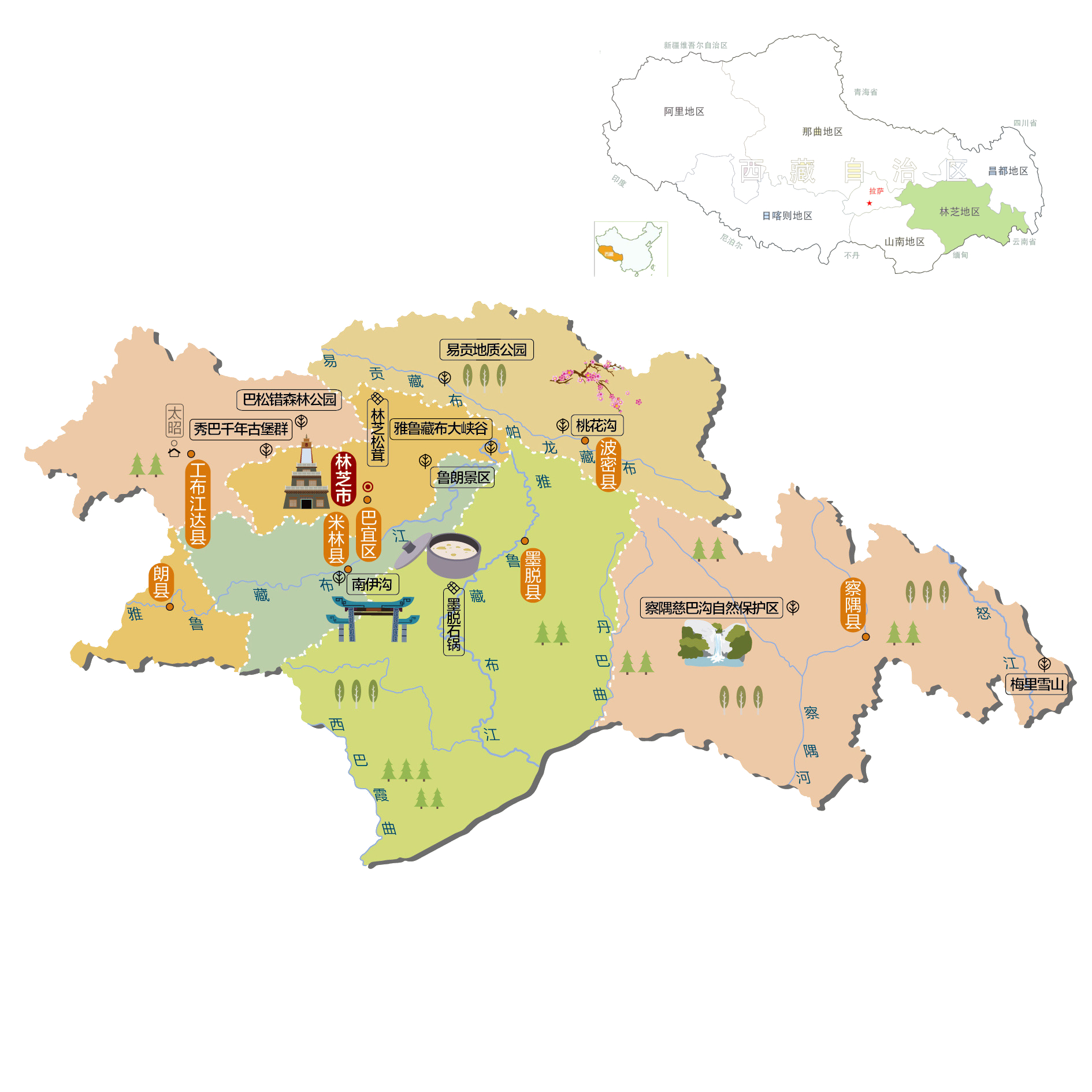
林芝地区
This image, video or audio may be copyrighted. It is used for educational purposes only. If you find it, please notify us byand we will remove it immediately.
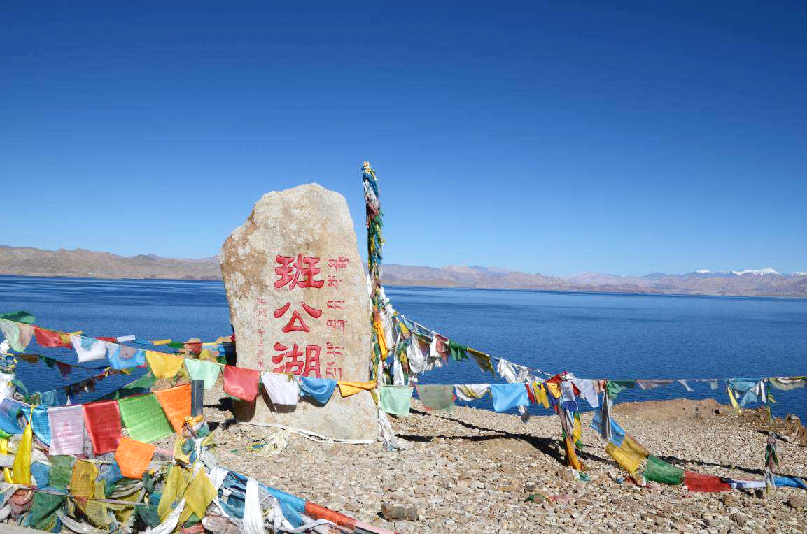
班公湖/མཚོ་མོ་ངང་ལྷ་རིང་པོ།
This image, video or audio may be copyrighted. It is used for educational purposes only. If you find it, please notify us byand we will remove it immediately.
白居寺/Baijiu-Kloster/Baijusi

This image, video or audio may be copyrighted. It is used for educational purposes only. If you find it, please notify us byand we will remove it immediately.