
漢德百科全書 | 汉德百科全书
 Finland
 Law
Law
 Party and government
 Finland
 Geography
Geography
Geography
 ***IMF Developed countries
IMF Developed countries
IMF Developed countries
TOP5
***IMF Developed countries
IMF Developed countries
IMF Developed countries
TOP5
 States of Europe

Finnland (finnisch [ˈsuɔmi], schwedisch Finland [ˈfɪnland]), amtlich Republik Finnland (finnisch Suomen tasavalta, schwedisch Republiken Finland) ist eine parlamentarische Republik in Nordeuropa und seit 1995 Mitglied der Europäischen Union. Finnland grenzt an Schweden, Norwegen, Russland und die Ostsee.
Mit etwa 5,5 Millionen Einwohnern auf einer Fläche fast so groß wie Deutschland gehört Finnland zu den am dünnsten besiedelten Ländern Europas. Der Großteil der Bevölkerung lebt im Süden des Landes mit der Hauptstadt Helsinki sowie den Großstädten Espoo, Tampere, Vantaa und Turku. Die beiden Amtssprachen sind Finnisch und Schwedisch, wobei 88,7 % der Bevölkerung finnisch- und 5,3 % schwedischsprachig sind. Die schwedischsprachige Inselgruppe Åland hat einen weitreichenden Autonomiestatus.
Seit dem Ende der letzten Kaltzeit ist in Finnland Besiedlung nachweisbar. Ab der Völkerwanderungszeit kam Finnland über den sich ausweitenden Ostseehandel stärker in Kontakt mit dem übrigen Europa; im Hochmittelalter wurde es christianisiert. Über Jahrhunderte hinweg war Finnland integraler Teil Schwedens, bevor es im 18. Jahrhundert zunehmend in den Einflussbereich des expandierenden Russischen Kaiserreiches geriet und ihm 1809 als Großfürstentum Finnland eingegliedert wurde. Mit der Einführung des Frauenwahlrechts 1906 war Finnland das erste Land in Europa, in dem das aktive Frauenwahlrecht auf nationaler Ebene eingeführt wurde, und weltweit war es nach Neuseeland und Australien der dritte Staat. Beim passiven Wahlrecht ist Finnlands Spitzenstellung noch deutlicher: Erstmals weltweit wurden Frauen in ein Parlament gewählt.
Erst der Sturz des russischen Kaisers und die anschließende Oktoberrevolution 1917 ermöglichten Finnland die Loslösung von Russland. Am 6. Dezember 1917 wurde vom finnischen Parlament die Unabhängigkeit erklärt.
芬兰共和国(芬兰语:Suomen tasavalta,瑞典语:Republiken Finland),通称“芬兰”(芬兰语:Suomi,瑞典语:Finland,![]() 双语发音 帮助·信息),是北欧国家,也是个双语国家,瑞典语和芬兰语平等成为芬兰官方语言。陆地上与瑞典、挪威和俄罗斯接壤,西南面被波罗的海环绕,东南部为芬兰湾,西面则为波的尼亚湾。芬兰是世界高度的发达国家和福利国家,国民享有极高标准的生活品质。联合国公布的《世界幸福感报告》中芬兰在2018至2020年连续三年排为世界上最幸福的国家[8][9][10]。
双语发音 帮助·信息),是北欧国家,也是个双语国家,瑞典语和芬兰语平等成为芬兰官方语言。陆地上与瑞典、挪威和俄罗斯接壤,西南面被波罗的海环绕,东南部为芬兰湾,西面则为波的尼亚湾。芬兰是世界高度的发达国家和福利国家,国民享有极高标准的生活品质。联合国公布的《世界幸福感报告》中芬兰在2018至2020年连续三年排为世界上最幸福的国家[8][9][10]。
フィンランド共和国(フィンランドきょうわこく、フィンランド語: Suomen tasavalta、スウェーデン語: Republiken Finland)、通称フィンランドは、北ヨーロッパに位置する共和制国家。北欧諸国のひとつであり、西はスウェーデン、北はノルウェー、東はロシアと隣接し、南はフィンランド湾を挟んでエストニアが位置している。
首都ヘルシンキは露仏同盟以来、ロシアの主要都市であるサンクトペテルブルク方面へ西側諸国が投資や往来をするための前線基地となってきた。同じく直近の旧領ヴィボルグはサイマー運河の出口であったが、現在はロシア領で、ノルド・ストリームの経由地となっている。ロシアと欧州諸国の間にある地政学的な重要性から、たびたび勢力争いの舞台や戦場になってきた。
中立的外交の裏では、外交・安全保障やエネルギー政策を巡り東西の綱引きが行われている。国内には原子力発電所があり、オンカロ処分場が2020年に開設されれば世界初の使用済み核燃料の最終処分場となる。情報産業も政治と関係しており、公職経歴者が民間企業の幹部になる例として、エスコ・アホという首相経験者がノキア取締役を務めているようなことがある。
人口や経済規模は小さいが、一人当たりGDPなどを見ると豊かで自由な民主主義国として知られている。フィンランドは2014年のOECDレビューにおいて「世界でもっとも競争的であり、かつ市民は人生に満足している国のひとつである」と報告された[1]。フィンランドは収入、雇用と所得、住居、ワークライフバランス、保健状態、教育と技能、社会的結びつき、市民契約、環境の質、個人の安全、主観的幸福の各評価において、すべての点でOECD加盟国平均を上回っている[1]。
Finland (Finnish: Suomi [ˈsuo̯mi] (![]() listen); Swedish: Finland [ˈfɪ̌nland] (
listen); Swedish: Finland [ˈfɪ̌nland] (![]() listen), Finland Swedish: [ˈfinlɑnd]), officially the Republic of Finland (Finnish: Suomen tasavalta, Swedish: Republiken Finland (
listen), Finland Swedish: [ˈfinlɑnd]), officially the Republic of Finland (Finnish: Suomen tasavalta, Swedish: Republiken Finland (![]() listen to all)),[note 1] is a Nordic country in Northern Europe bordering the Baltic Sea, Gulf of Bothnia, and Gulf of Finland, between Sweden to the west, Russia to the east, Estonia to the south, and north-eastern Norway to the north. The capital and largest city is Helsinki. Other major cities are Espoo, Tampere, Vantaa, Oulu, Turku, Jyväskylä, Lahti and Kuopio.
listen to all)),[note 1] is a Nordic country in Northern Europe bordering the Baltic Sea, Gulf of Bothnia, and Gulf of Finland, between Sweden to the west, Russia to the east, Estonia to the south, and north-eastern Norway to the north. The capital and largest city is Helsinki. Other major cities are Espoo, Tampere, Vantaa, Oulu, Turku, Jyväskylä, Lahti and Kuopio.
Finland's population is 5.53 million as of March 2020,[7] the majority of whom live in the central and south of the country and speak Finnish, a Finnic language from the Uralic language family, unrelated to the Scandinavian languages.[8] Finland is the eighth-largest country in Europe and the most sparsely populated country in the European Union. It is a parliamentary republic of 310 municipalities,[9] and includes an autonomous region, the Åland Islands. Over 1.4 million people live in the Greater Helsinki metropolitan area, which produces one third of the country's GDP. Swedish is the second official language of Finland, which is mainly spoken in certain coastal areas and on Åland. A large majority of Finns are members of the Evangelical Lutheran Church.[10]
Finland was inhabited when the last ice age ended, approximately 9000 BC.[11] Comb Ceramic culture introduced pottery 5200 BC and Corded Ware culture coincided with the start of agriculture between 3000 and 2500 BC. The Bronze Age and Iron Age were characterised by extensive contacts with other cultures in the Fennoscandian and Baltic regions. At the time Finland had three main cultural areas – Southwest Finland, Tavastia and Karelia.[12] From the late 13th century, Finland gradually became an integral part of Sweden through the Northern Crusades and the Swedish part-colonisation of coastal Finland, a legacy reflected in the prevalence of the Swedish language and its official status.
In 1809, Finland was incorporated into the Russian Empire as the autonomous Grand Duchy of Finland. In 1906, Finland became the first European state to grant all adult citizens the right to vote, and the first in the world to give all adult citizens the right to run for public office.[13][14] Following the 1917 Russian Revolution, Finland declared itself independent. In 1918, the fledgling state was divided by civil war, with the Bolshevik-leaning Red Guard, supported by Soviet Russia, fighting the White Guard, supported by the German Empire. After a brief attempt to establish a kingdom, the country became a republic. During World War II, Finland fought the Soviet Union in the Winter War and the Continuation War and lost some land, but maintained independence.
Finland remained largely an agrarian country until the 1950s. After World War II, the war reparations demanded by the Soviet Union forced Finland to industrialise. The country rapidly developed an advanced economy while building an extensive welfare state based on the Nordic model, resulting in widespread prosperity and a high per capita income.[15] Finland is a top performer in numerous metrics of national performance, including education, economic competitiveness, civil liberties, quality of life, and human development.[16][17][18][19] In 2015, Finland was ranked first in the World Human Capital[20] and the Press Freedom Index and as the most stable country in the world during 2011–2016 in the Fragile States Index,[21] and second in the Global Gender Gap Report.[22] It also ranked first on the World Happiness Report report for 2018 and 2019.[23]
Finland joined the United Nations in 1955 and adopted an official policy of neutrality. The Finno-Soviet Treaty of 1948 gave the Soviet Union some leverage in Finnish domestic politics during the Cold War. Finland joined the OECD in 1969, the NATO Partnership for Peace in 1994,[24] the European Union in 1995, the Euro-Atlantic Partnership Council in 1997,[24] and the Eurozone at its inception in 1999.
La Finlande (en finnois : Suomi Prononciation ; en suédois : Finland), en forme longue la république de Finlande (en finnois : Suomen tasavalta ; en suédois : Republiken Finland), est un pays d'Europe du Nord, membre de l'Union européenne depuis 1995.
La Finlande est baignée par la mer Baltique, plus précisément par le golfe de Finlande au sud et par le golfe de Botnie à l'ouest et au sud-ouest. Son territoire s'étend de part et d'autre du cercle arctique dans la partie orientale de la Fennoscandie, ce qui fait d'elle un pays nordique entièrement extérieur à la Scandinavie. Composé de plus de 3 000 lacs et d'innombrables îles, parmi lesquelles celles de l'archipel autonome d'Åland, il occupe une superficie totale de 338 145 km2 entre la Norvège au nord, la Russie à l'est et la Suède au nord-nord-ouest, ce qui en fait un des plus vastes pays de l'Union européenne.
Cet espace géographique soumis à un climat rigoureux pendant l'hiver est majoritairement une zone de taïga. Les 5,3 millions d'habitants que recense la démographie nationale confèrent au pays l'une des plus faibles densités de population de toute l'Union européenne. Principalement installés dans le Sud du pays, en particulier sur la côte méridionale, où se trouve la capitale, Helsinki, mais aussi les autres municipalités les plus peuplées, à savoir Espoo et Vantaa, qui sont regroupées au sein de la Région capitale ou Grand Helsinki, les Finlandais disposent de deux langues officielles, le finnois et le suédois.
Enrichie par les apports ancestraux d'une mythologie féconde, par les Samis, ou encore par les populations autochtones de la province septentrionale de Laponie, et bien qu'elle se soit clairement occidentalisée dans la seconde moitié du XXe siècle à la suite d'une reconversion réussie de son économie (centrée sur la sylviculture, puis la métallurgie, et enfin l'électronique), la culture nationale plébiscite toujours un certain dépouillement matériel, dont le sisu et le sauna sont des symboles sûrs, ainsi qu'une culture du silence.
Longtemps sous domination du voisin suédois, sous le règne duquel fut fondée la première capitale, Turku, la Finlande demeure marquée par les nombreux conflits qui l'ont opposée durant toute son histoire récente à la Russie, puissance impérialiste dont elle est devenue un grand-duché autonome en 1809, et dont elle n'a obtenu son indépendance qu'en 1917. L'année suivante, une guerre civile ensanglante le pays, suivie de deux guerres contre l'URSS pendant la Seconde Guerre mondiale, et enfin, d'une longue tutelle soviétique indirecte durant la guerre froide, connue sous le nom de « finlandisation ».
Ces soubresauts n'ont cependant pas empêché l'établissement d'une république stable dont les réalisations sont souvent présentées en modèles, et ce en de nombreux domaines, notamment environnement et qualité de vie. La politique nationale s'articule autour d'un président de la République, Sauli Niinistö, d'un parlement unicaméral, l'Eduskunta et d'un gouvernement dirigé par la Première ministre, actuellement Sanna Marin. Le Grand-duché de Finlande, alors composante de l'Empire russe, a été le premier État en Europe à accorder le droit de vote aux femmes ainsi que le premier au monde à les rendre éligibles au même titre que les hommes. En 2009, l'étude Legatum Prosperity classe la Finlande en première position à la suite de ses performances économiques et de la qualité de vie4.
La Finlande connaît une forte période de récession à la fin des années 2000, en partie liée à l’affaiblissement de son industrie électronique (comme la chute de Nokia), la récession de son voisin russe et une crise dans l'industrie forestière. L'économie du pays se redresse néanmoins au milieu des années 2010.
La Finlandia (in finlandese: , in svedese: ), ufficialmente Repubblica di Finlandia (in finlandese: Suomen tasavalta e in svedese: Republiken Finland)[7], è un paese dell'Europa del nord, facente parte della regione nota come Fennoscandia e della penisola scandinava. Confina con la Svezia a ovest, la Norvegia a nord e la Russia ad est. Si affaccia a sud sul golfo di Finlandia, sulla cui sponda meridionale si trova l'Estonia. È uno Stato facente parte dell'Unione europea.
In Finlandia vivono 5,5 milioni di persone, per la maggior parte concentrate nelle regioni meridionali. In termini di superficie, è l'ottavo stato più grande d'Europa e lo stato con più bassa densità di popolazione nell'Unione europea. Politicamente, è una repubblica parlamentare con un governo centrale con sede nella capitale Helsinki, i governi locali in 336 comuni e una regione autonoma, le isole Åland. Circa un milione di abitanti vive nella zona della conurbazione di Helsinki (composta da Helsinki, Espoo, Kauniainen e Vantaa) e un terzo del prodotto interno lordo del paese è prodotto lì. Altre grandi città sono Tampere, Turku, Oulu, Jyväskylä, Lahti e Kuopio.
La Finlandia fece parte del Regno di Svezia dal XII secolo al 1809, quando divenne un granducato autonomo all'interno dell'Impero Russo fino alla rivoluzione del 1917. Il 6 dicembre di quell'anno la Finlandia ottenne l'indipendenza, seguita da una guerra civile terminata con la sconfitta dei "Rossi" filo-bolscevichi da parte dei filo-conservatori "Bianchi" sostenuti dall'Impero tedesco. Dopo un breve tentativo di stabilire una monarchia nello stato, la Finlandia divenne una repubblica.
L'esperienza finlandese della Seconda guerra mondiale ha coinvolto tre conflitti separati: la Guerra d'inverno (1939-1940) e la Guerra di continuazione (1941-1944) contro l'Unione Sovietica, e la Guerra di Lapponia (1944-1945) contro la Germania nazista. Dopo la fine della guerra, la Finlandia ha aderito all'Organizzazione delle Nazioni Unite (ONU) nel 1955, all'Organizzazione per la cooperazione e lo sviluppo economico (OCSE) nel 1969, all'Unione europea nel 1995 e alla zona Euro fin dal suo inizio nel 1999. Durante questo tempo, ha costruito uno stato sociale vasto in stile nordico.
La Finlandia era in ritardo rispetto all'industrializzazione, rimanendo uno stato in gran parte agricolo fino al luglio del 1949. Successivamente, lo sviluppo economico è stato rapido, tale che con un reddito pro-capite nominale di oltre 49 000 dollari statunitensi, la Finlandia è uno degli stati più ricchi del mondo. Secondo alcune misure, la Finlandia ha il miglior sistema educativo in Europa ed è stata classificata come uno degli stati più pacifici ed economicamente competitivi del mondo. È stata anche classificata come uno degli stati al mondo con la più alta qualità della vita. Secondo la rivista Newsweek la Finlandia è "il miglior stato del mondo".[8]
Finlandia, oficialmente República de Finlandia (en finés: ![]() Suomi (?·i) o Suomen Tasavalta; en sueco: Finland o Republiken Finland), es un país miembro de la Unión Europea desde 1995 y situado en el noreste de Europa. Tiene fronteras al oeste con Suecia, al este con Rusia y al norte con Noruega. Por el oeste y el sur está rodeada por el mar Báltico, que la separa de Suecia y Estonia, cruzando los golfos de Botnia y Finlandia, respectivamente. La capital y ciudad más importante del país es Helsinki.
Suomi (?·i) o Suomen Tasavalta; en sueco: Finland o Republiken Finland), es un país miembro de la Unión Europea desde 1995 y situado en el noreste de Europa. Tiene fronteras al oeste con Suecia, al este con Rusia y al norte con Noruega. Por el oeste y el sur está rodeada por el mar Báltico, que la separa de Suecia y Estonia, cruzando los golfos de Botnia y Finlandia, respectivamente. La capital y ciudad más importante del país es Helsinki.
En 2017, Finlandia contaba con una población de 5,5 millones de habitantes en un área de 338 145 km².3 La gran mayoría de la población del país se concentra en el extremo sur, en la costa del golfo de Finlandia y sus alrededores (incluyendo el Área Metropolitana de Helsinki). Finlandia es el sexto país más extenso de Europa y cuenta con una densidad poblacional baja de 16 habitantes por km², lo que le convierte en el menos densamente poblado de la Unión Europea. La mayoría de los finlandeses hablan finés (o finlandés) como su lengua materna, la cual es una de las pocas lenguas oficiales de la Unión Europea que no descienden de la familia indoeuropea. La segunda lengua oficial de Finlandia es el sueco, hablado como lengua materna por el 5,6% de la población.4
Finlandia fue parte de Suecia hasta que en 1809 fue anexionada por el Imperio ruso, pasando a ser el gran ducado de Finlandia (entidad autónoma de Rusia hasta 1917, cuando obtuvo la independencia). Actualmente, Finlandia es una república parlamentaria y democrática, y es miembro de las Naciones Unidas desde 1955, así como de la Unión Europea desde 1995. La economía finlandesa es una de las más prósperas de Europa, basándose en los importantes sectores de servicios, así como de manufactura. En el país existe un estado del bienestar, así como una política altamente democrática y con niveles sumamente bajos de corrupción.
Финля́ндия (фин. Suomi, швед. Finland, произношение на обоих языках ; официально — Финля́ндская Респу́блика, фин. Suomen tasavalta, швед. Republiken Finland[5]) — государство в Северной Европе.
Население (оценка 2017 года) — 5 560 000 человек, площадь территории — 338 430,53 км². Занимает 114-е место по количеству населения и 64-е по территории в мире.
Столица и крупнейший город — Хельсинки.
Государственные языки — финский и шведский. Частота использования жителями Финляндии того или иного государственного языка варьируется на разных территориях (например, на Аландских островах в качестве официального языка используется лишь шведский, а на севере страны и вовсе преобладают саамские языки).
Парламентская республика. С 5 февраля 2012 года пост президента занимает Саули Нийнистё.
С 6 декабря 1917 года является независимым государством (2017 год объявлен годом

Airbus A320
A319-100
Airbus A320
A320-100 / -200
Airbus A320
A321-100 / -200
Airbus A330
A330-300
Airbus A350
A350-900
Embraer E-Jet family
E190
Finnair
Finland
 Aerospace
Oneworld
Aerospace
Oneworld
 Companies


 Music
Music


| 徽章 | 中文名 | 芬兰语名称 | 瑞典语名称 | 首府 | |
|---|---|---|---|---|---|
| 拉普兰区 | Lappi | Lappland | 罗瓦涅米 | 芬兰各行政区 |
|
| 北博滕区 | Pohjois-Pohjanmaa | Norra Österbotten | 奥卢 | ||
| 凯努区 | Kainuu | Kajanaland | 卡亚尼 | ||
| 北卡累利阿区 | Pohjois-Karjala | Norra Karelen | 约恩苏 | ||
| 北萨沃区 | Pohjois-Savo | Norra Savolax | 库奥皮奥 | ||
| 南萨沃区 | Etelä-Savo | Södra Savolax | 米凯利 | ||
| 南博滕区 | Etelä-Pohjanmaa | Södra Österbotten | 塞伊奈约基 | ||
| 中博滕区 | Keski-Pohjanmaa | Mellersta Österbotten | 科科拉 | ||
| 博滕区 | Pohjanmaa | Österbotten | 瓦萨 | ||
| 皮尔卡区 | Pirkanmaa | Birkaland | 坦佩雷 | ||
| 中芬兰区 | Keski-Suomi | Mellersta Finland | 于韦斯屈莱 | ||
| 萨塔昆塔区 | Satakunta | Satakunta[18] | 波里 | ||
| 西南芬兰区 | Varsinais-Suomi | Egentliga Finland | 图尔库 | ||
| 南卡累利阿区 | Etelä-Karjala | Södra Karelen | 拉彭兰塔 | ||
| 派耶特海梅区 | Päijät-Häme | Päijänne Tavastland | 拉赫蒂 | ||
| 坎塔海梅区 | Kanta-Häme | Egentliga Tavastland | 海门林纳 | ||
| 新地区 | Uusimaa | Nyland | 赫尔辛基 | ||
| 屈米河谷区 | Kymenlaakso | Kymmenedalen | 科特卡、科沃拉 | ||
| 奥兰区 | Ahvenanmaa | Åland | 玛丽港 |
 Astronomy
 Automobile
*Self-driving car
Belgium
Denmark
Germany
Automobile
*Self-driving car
Belgium
Denmark
Germany
 European Union
Finland
France
Greece
Ireland
European Union
Finland
France
Greece
Ireland

 IT-Times
Italy
IT-Times
Italy
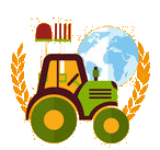 Agriculture, forestry, livestock, fishing
Aerospace
*ASI
Aerospace
*CNES
Aerospace
*DLR
Aerospace
*ESA
Luxembourg
Agriculture, forestry, livestock, fishing
Aerospace
*ASI
Aerospace
*CNES
Aerospace
*DLR
Aerospace
*ESA
Luxembourg
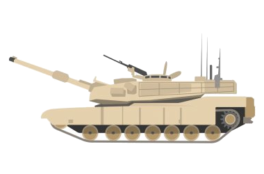
 Military, defense and equipment
Navigation Satellite System
Netherlands
Norwegen
Austria
Portugal
Romania
Military, defense and equipment
Navigation Satellite System
Netherlands
Norwegen
Austria
Portugal
Romania
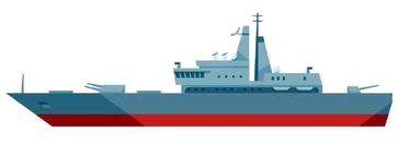
 Ships and Nautics
Sweden
Spain
Ships and Nautics
Sweden
Spain
 Transport and traffic
Czech Republic
United Kingdom
Transport and traffic
Czech Republic
United Kingdom
 Science and technology

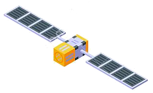
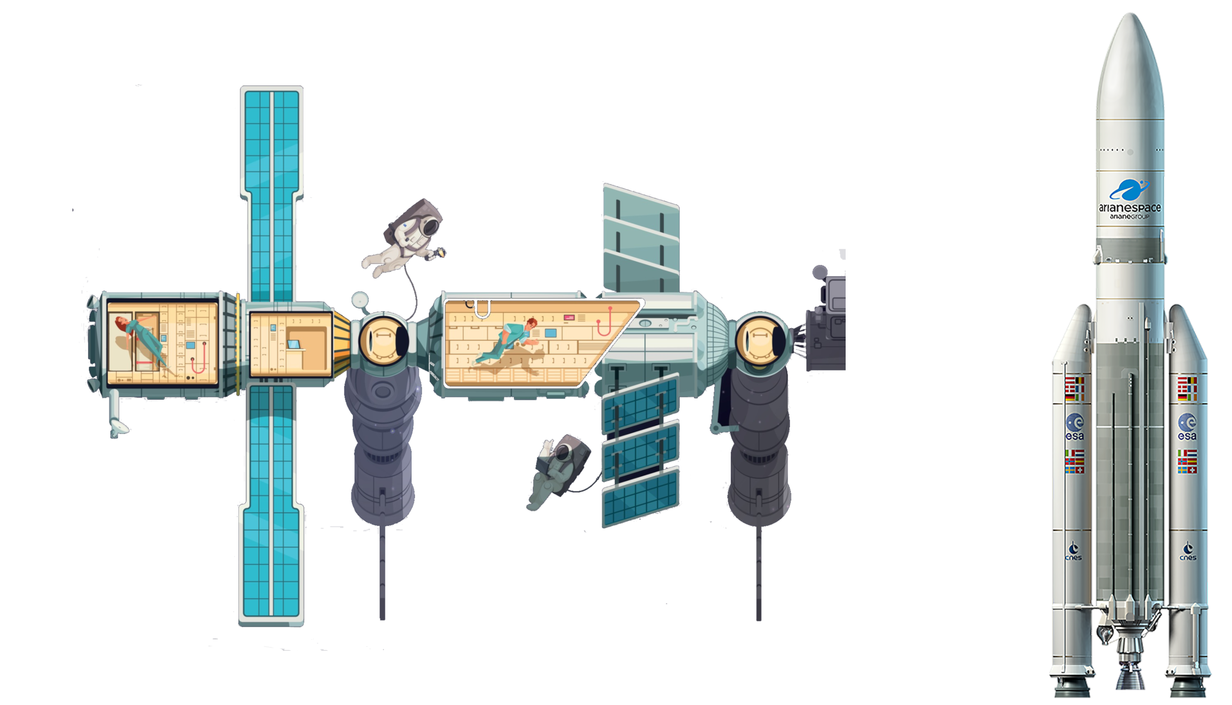
Die genaue Bestimmung des Standorts und der Zeit - Informationen, die in Zukunft immer häufiger mit hoher Zuverlässigkeit zu zur Verfügung stehen müssen. In wenigen Jahren wird dies mit dem Satellitennavigationssystem GALILEO, einer gemeinsamen Initiative der Europäischen Union und der Europäischen Weltraumorganisation (ESA), möglich sein. Dieses weltweite System wird zugleich komplementär zum derzeitigen GPS-System sein.
Die Satellitennavigation ist eine Spitzentechnologie. Dabei werden von mehreren Satelliten im Weltraum höchst genaue Zeitsignale ausgestrahlt, anhand derer jedermann mit einem kleinen und preisgünstigen Empfangsgerät seinen Standort oder den eines bewegten oder unbewegten Objekts (Fahrzeug, Schiff, Viehherde usw.) auf den Meter genau bestimmen kann.
GALILEO basiert auf einer Konstellation von 30 Satelliten und Bodenstationen, die Nutzer aus den verschiedensten Bereichen mit Ortungsinformationen versorgen können. Zu diesen Sektoren gehören das Verkehrswesen (Ortung und Ermittlung der Geschwindigkeit von Fahrzeugen, Wegplanung, Navigationssysteme usw.), soziale Einrichtungen (z.B. Hilfe für Behinderte oder Senioren), die Justiz und der Zoll (Feststellung des Aufenthaltsortes von Verdächtigen, Grenzkontrollen), das Bauwesen (geografische Informationssysteme), Not- und Rettungsdienste oder der Freizeitsektor (Orientierung auf dem Meer und in den Bergen usw.).(Quelle: http://ec.europa.eu/dgs/energy_transport/galileo/index_de.htm)
Galileo ist ein im Aufbau befindliches, teilweise bereits operationelles, europäisches globales Satellitennavigations- und Zeitgebungssystem unter ziviler Kontrolle (europäisches GNSS).[1]
Es liefert weltweit Daten zur genauen Positionsbestimmung und ähnelt dem US-amerikanischen NAVSTAR-GPS, dem russischen GLONASS-System und dem chinesischen Beidou-System. Die Systeme unterscheiden sich hauptsächlich durch die Frequenznutzungs-/Modulationskonzepte, die Art und Anzahl der angebotenen Dienste und die Art der Kontrolle (GLONASS, Beidou und GPS sind militärisch kontrolliert).
Auftraggeber von Galileo ist die Europäische Union. Der Sitz der Agentur für das Europäische GNSS (Galileo-Agentur, GSA) befindet sich seit 2014 in der tschechischen Hauptstadt Prag.[2]
Mit Stand Ende 2017 sind 22 der vorgesehenen 30 Satelliten in ihrem Orbit.[3] Bis Ende 2019 sollen alle Satelliten in ihre Umlaufbahn gebracht werden. Das Satellitennavigationssystem ist für die Allgemeinheit seit dem 15. Dezember 2016 zugänglich.[4][5]
伽利略定位系统(意大利语:Galileo),是一个正在建造中的卫星定位系统,该系统由欧盟通过欧洲空间局和欧洲导航卫星系统管理局建造[3],总部设在捷克共和国的布拉格。该系统有两个地面操控站,分别位于德国慕尼黑附近的奥伯法芬霍芬和意大利的富齐诺。这个造价五十亿欧元[4]的项目是以意大利天文学家伽利略的名字命名的。伽利略系统的目的之一是为欧盟国家提供一个自主的高精度定位系统,该系统独立于俄罗斯的格洛纳斯系统和美国的全球定位系统(GPS),在这些系统被关闭时,欧盟就可以使用伽利略系统。该系统的基本服务(低精度)是提供给所有用户免费使用的,高精度定位服务仅提供给付费用户使用。伽利略系统的目标是在水平和垂直方向提供精度1米以内的定位服务,并且在高纬度地区提供比其他系统更好的定位服务。[5]
伽利略系统是中地球轨道搜救卫星系统的一部分,可提供一种新的全球搜救方式。伽利略系统的卫星安装有转发器,可以把求救信号从事故地点发送到救援协调中心,救援协调中心就会开始组织救援。同时,该系统还会发射一个返回信号到事故地点处,通知求救人员他们的信号已被收到,相应的救援也正在展开。现有的全球卫星搜救系统是不具备反馈信号功能的,所以伽利略系统这个发消息功能被认为是对全球卫星搜救系统的一个重要升级。[6]2014年,研究人员对伽利略系统的搜救功能进行了测试,该系统是作为当时的全球卫星搜救系统的一部分工作的,测试结果显示,该系统对77%的模拟求救位置定位精度在2千米以内,95%的求救位置定位精度在5千米以内。[7]
伽利略系统的第一颗试验卫星GIOVE-A于2005年12月28日发射,第一颗正式卫星于2011年8月21日发射。该系统计划发射30颗卫星,截止2016年5月,已有14颗卫星发射入轨。伽利略系统于2016年12月15日在布鲁塞尔举行激活仪式,提供早期服务。于2017年到2018年提供初步工作服务,最终于2019年具备完全工作能力。[8] 该系统的30颗卫星预计将于2020年前发射完成,其中包含24颗工作卫星和6颗备用卫星。[9]
ガリレオ(Galileo)は、EUが構築した全地球航法衛星システム。
ガリレオはEUによる全地球航法衛星システムである。高度約24000kmの上空に30機の航法衛星を運用することを予定している。民間主体としては初の衛星航法システムであり、EUはアメリカ国防総省が運営するGPSのように、軍事上の理由によるサービスの劣化及び中断を避けられる利点があるとコメントしている。さらに、測位にかかる時間が短縮され、GPSの数メートルに比べて1メートルまで精度を向上できる。
試験衛星は2005年12月28日に1機目のGIOVE-A衛星が打ち上げられ、2006年1月12日から試験電波が発射されており、2007年5月2日に英Surrey Satellite Technologyによって作成された航法メッセージがギルドフォード地球局からGIOVE-A衛星にアップロードされ放送された。2006年中に打ち上げ予定だった2機目の試験衛星GOOV-Bは、打上げが2008年4月まで遅れた。本格利用開始は2010年頃とされていたが、2013年へと先送りされ、2010年末段階計画では2014年末に18機による初期運用とし2016年末に規定の機数による本格運用に入る計画で進められている。年間の運用コストはEGNOSと合わせて8億ユーロになると見積もられている。
無料で利用できるGPSに対して、莫大な費用を投資し有料での活用を予定しているガリレオの採算性を疑問視する意見も多い。当初の事業費は36億ユーロないし38億ユーロと見込まれており、うち民間企業が24億ユーロを負担する予定だったが、2007年に共同事業体が解散し計画の中止が検討された。2007年5月にEUは公的資金で全額を肩代わりすることを決定し、11月に承認された。2010年には、Wikileaksによって漏出したアメリカ外交当局の資料に、ガリレオに用いる14機の衛星製造を請け負っているドイツの契約企業の担当役員が、ガリレオ計画を「フランスの国益に基づく馬鹿げたアイデア」だとコメントしたことが明らかとなり、問題の役員が解任される騒ぎがあった[1]。
Galileo is the global navigation satellite system (GNSS) that went live in 2016,[4] created by the European Union (EU) through the European GNSS Agency (GSA),[5] headquartered in Prague in the Czech Republic,[6] with two ground operations centres, Oberpfaffenhofen near Munich in Germany and Fucino in Italy. The €10 billion project[3][7] is named after the Italian astronomer Galileo Galilei. One of the aims of Galileo is to provide an independent high-precision positioning system so European nations do not have to rely on the U.S. GPS, or the Russian GLONASS systems, which could be disabled or degraded by their operators at any time.[8] The use of basic (lower-precision) Galileo services will be free and open to everyone. The higher-precision capabilities will be available for paying commercial users. Galileo is intended to provide horizontal and vertical position measurements within 1-metre precision, and better positioning services at higher latitudes than other positioning systems. Galileo is also to provide a new global search and rescue (SAR) function as part of the MEOSAR system.
The first Galileo test satellite, the GIOVE-A, was launched 28 December 2005, while the first satellite to be part of the operational system was launched on 21 October 2011. As of July 2018, 26 of the planned 30 active satellites are in orbit.[9][10] Galileo started offering Early Operational Capability (EOC) on 15 December 2016,[1] providing initial services with a weak signal, and is expected to reach Full Operational Capability (FOC) in 2019.[11] The complete 30-satellite Galileo system (24 operational and 6 active spares) is expected by 2020.[12]
Le programme Galileo est un système de positionnement par satellites (radionavigation) développé par l'Union européenne et incluant un segment spatial dont le déploiement doit s'achever vers 2020. Comme les systèmes américain GPS, russe GLONASS et chinois Beidou, il permet à un utilisateur muni d'un terminal de réception d'obtenir sa position. La précision attendue pour le service de base, gratuit, est de 4 mètres horizontalement et de 8 mètres en altitude[réf. nécessaire]. Un niveau de qualité supérieur sera fourni dans le cadre de services payants proposés aux professionnels.
Le segment spatial de Galileo sera constitué à terme de 30 satellites dont 6 de rechange. Chaque satellite, d'une masse d'environ 700 kg, circule sur une orbite moyenne (23 222 kilomètres) dans trois plans orbitaux distincts ayant une inclinaison de 56°. Ces satellites émettent un signal qui leur est propre et retransmettent un signal de navigation fourni par le segment de contrôle de Galileo. Ce dernier est constitué par deux stations chargées également de surveiller l'orbite et l'état des satellites.
Le projet Galileo, après une phase de définition technique qui débute en 1999, est lancé le 26 mai 2003 avec la signature d'un accord entre l'Union européenne et l'Agence spatiale européenne chargée du segment spatial. Une des motivations principales du projet est de mettre fin à la dépendance de l'Europe vis-à-vis du système américain, le GPS. Contrairement à ce dernier, Galileo est uniquement civil. Le projet parvient à surmonter l'opposition de certains membres de l'UE et d'une partie des décideurs américains ainsi que les difficultés de financement (le coût final est évalué à 5 milliards d'euros). Les tests de Galileo débutent fin 2005 grâce aux lancements des satellites précurseurs Giove-A et Giove-B en décembre 2005 et avril 2008. Les premiers satellites en configuration opérationnelle (FOC) sont lancés en août 2014. Au 15 août 2018, vingt-six satellites ont été lancés, dont 18 sont opérationnels et 4 en cours de mise en service1. Les premiers services de Galileo sont opérationnels depuis le 15 décembre 20162,3. La précision maximale ne sera pas atteinte avant 2020, lorsque 24 des 30 satellites seront opérationnels3,4. En janvier 2018, Galileo compte déjà près de 100 millions d'utilisateurs5, et 200 millions en septembre6.
Il sistema di posizionamento Galileo è un sistema di posizionamento e navigazione satellitare civile (in inglese GNSS - Global Navigation Satellite System), sviluppato in Europa come alternativa al Global Positioning System (NAVSTAR GPS), controllato invece dal Dipartimento della Difesa degli Stati Uniti d'America.
La sua entrata in servizio prevista per la fine del 2019[1] è stata anticipata al 15 dicembre 2016[2]. Il sistema una volta completato potrà contare su 26 satelliti artificiali orbitanti (24 operativi più 2 di scorta)[3] su 3 piani inclinati rispetto al piano equatoriale terrestre di circa 56° e ad una quota di circa 23.925 km[3]. Le orbite che saranno seguite dai satelliti sono quelle MEO (Medium earth orbit). A luglio 2018 si trovano in orbita 26 satelliti ma non tutti sono completamente operativi.
Galileo es el programa europeo de radionavegación y posicionamiento por satélite desarrollado por la Unión Europea (UE) conjuntamente con la Agencia Espacial Europea. Este programa dota a la Unión Europea de una tecnología independiente del GPS estadounidense y el GLONASS ruso.1 Al contrario de estos dos, será de uso civil.2 El sistema se pudo poner en marcha el 15 de diciembre del 20163 con alrededor de media constelación y será completado para 2020.4
«Галиле́о» (Galileo) — совместный проект спутниковой системы навигации Европейского союза и Европейского космического агентства, является частью транспортного проекта Трансевропейские сети (англ. Trans-European Networks). Система предназначена для решения геодезических и навигационных задач. В последнее время всё больше производителей ГССН-оборудования интегрируют в свои спутниковые приёмники и антенны возможность принимать и обрабатывать сигналы со спутников «Галилео», этому способствует достигнутая договорённость о совместимости и взаимодополнении с системой NAVSTAR GPS третьего поколения. Финансирование проекта будет осуществляться в том числе за счёт продажи лицензий производителям приёмников.
Помимо стран Европейского Союза, в проекте участвуют: Китай, Израиль, Южная Корея, Украина. Кроме того, ведутся переговоры с представителями Аргентины, Австралии, Бразилии, Чили, Индии, Малайзии. Ожидалось, что «Галилео» войдёт в строй в 2014—2016 годах, когда на орбиту будут выведены все 30 запланированных спутников (24 операционных и 6 резервных[1]). Но на 2018 год спутниковая группировка «Галилео» так и не достигла необходимого количества аппаратов. Компания Arianespace заключила договор на 10 ракет-носителей «Союз» для запуска спутников, начиная с 2010 года[2]. Космический сегмент будет обслуживаться наземной инфраструктурой, включающей в себя три центра управления и глобальную сеть передающих и принимающих станций.
В отличие от американской GPS и российской ГЛОНАСС, система «Галилео» не контролируется национальными военными ведомствами, однако в 2008 году парламент ЕС принял резолюцию «Значение космоса для безопасности Европы», согласно которой допускается использование спутниковых сигналов для военных операций, проводимых в рамках европейской политики безопасности. Разработку системы осуществляет Европейское космическое агентство. Общие затраты оцениваются в 4,9 млрд евро.
Спутники «Галилео» выводятся на круговые геоцентрические орбиты высотой 23 222 км (или 29 600 км от центра Земли), проходят один виток за 14 ч 4 мин 42 с и обращаются в трёх плоскостях, наклонённых под углом 56° к экватору. Долгота восходящего узла каждой из трёх орбит отстоит на 120° от двух других. На каждой из орбит при полном развёртывании системы будет находиться 8 действующих и 2 резервных спутника. Эта конфигурация спутниковой группировки обеспечит одновременную видимость из любой точки земного шара по крайней мере четырёх аппаратов. Временна́я погрешность атомных часов, установленных на спутниках, составляет одну миллиардную долю секунды, что обеспечит точность определения места приёмника около 30 см на низких широтах. За счёт более высокой, чем у спутников GPS, орбиты, на широте Полярного круга будет обеспечена точность до одного метра.
Каждый аппарат «Галилео» весит около 675 кг, его габариты со сложенными солнечными батареями составляют 3,02×1,58×1,59 м, а с развёрнутыми — 2,74×14,5×1,59 м, энергообеспечение равно 1420 Вт на солнце и 1355 Вт в тени. Расчётный срок эксплуатации спутника превышает 12 лет.
 Architecture
Belarus
Architecture
Belarus
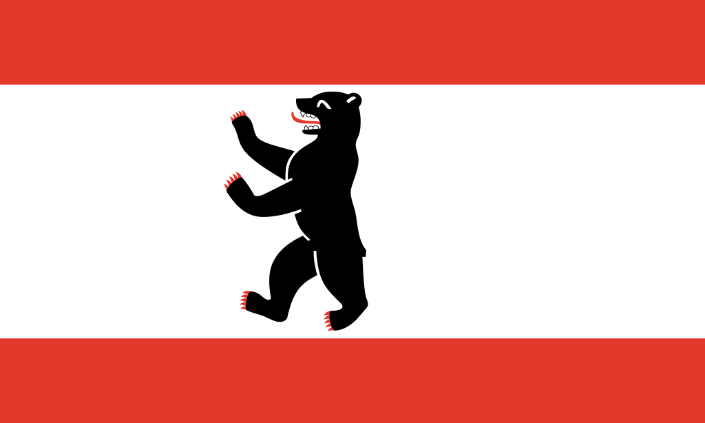 Berlin
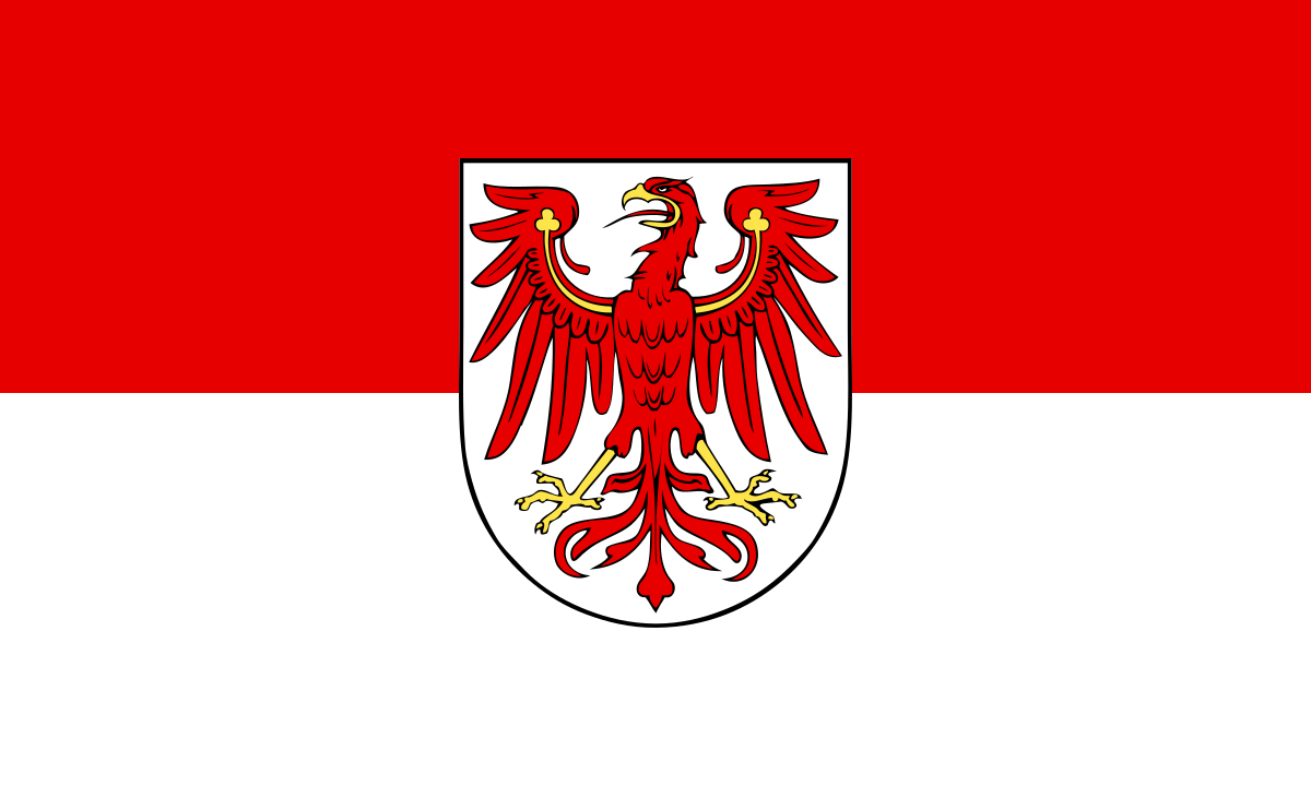 Brandenburg
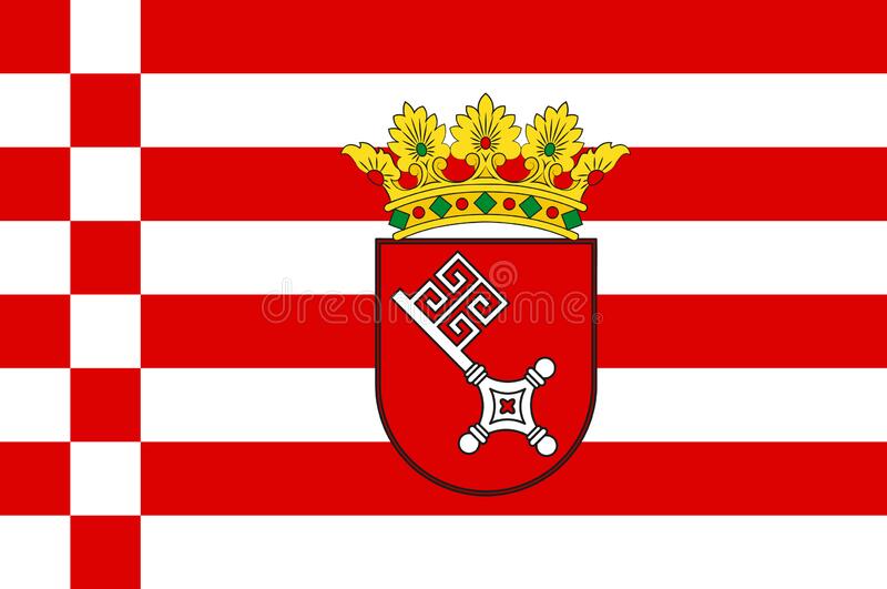 Bremen
Denmark
Germany
Estonia
Finland
France
Bremen
Denmark
Germany
Estonia
Finland
France
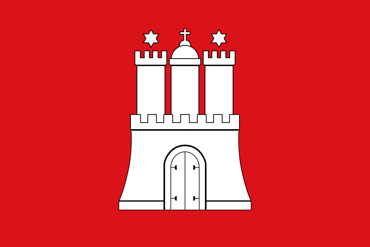 Hamburg
Italy
Latvia
Lithuania
Hamburg
Italy
Latvia
Lithuania
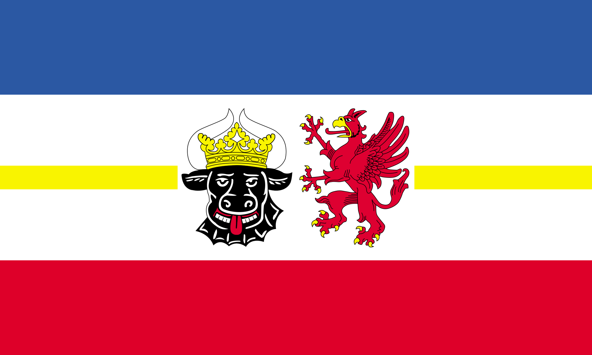 Mecklenburg-Vorpommern
Netherlands
Mecklenburg-Vorpommern
Netherlands
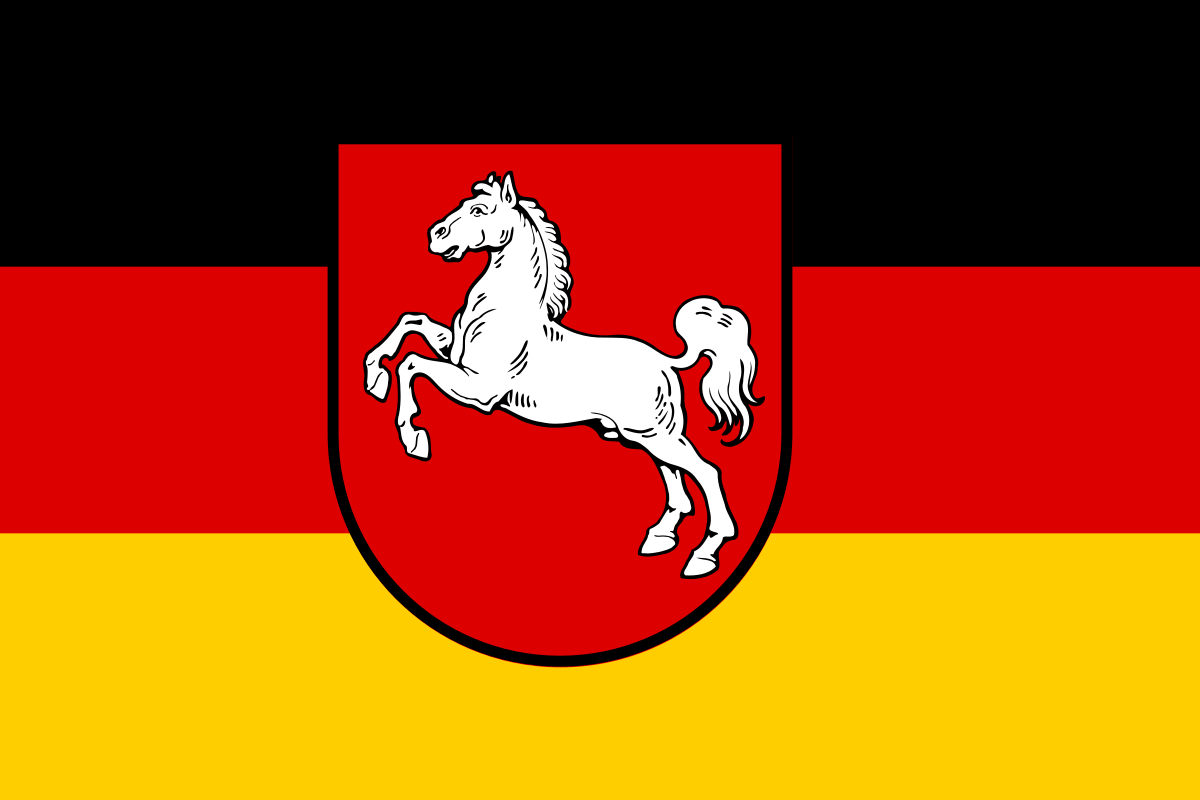 Lower Saxony
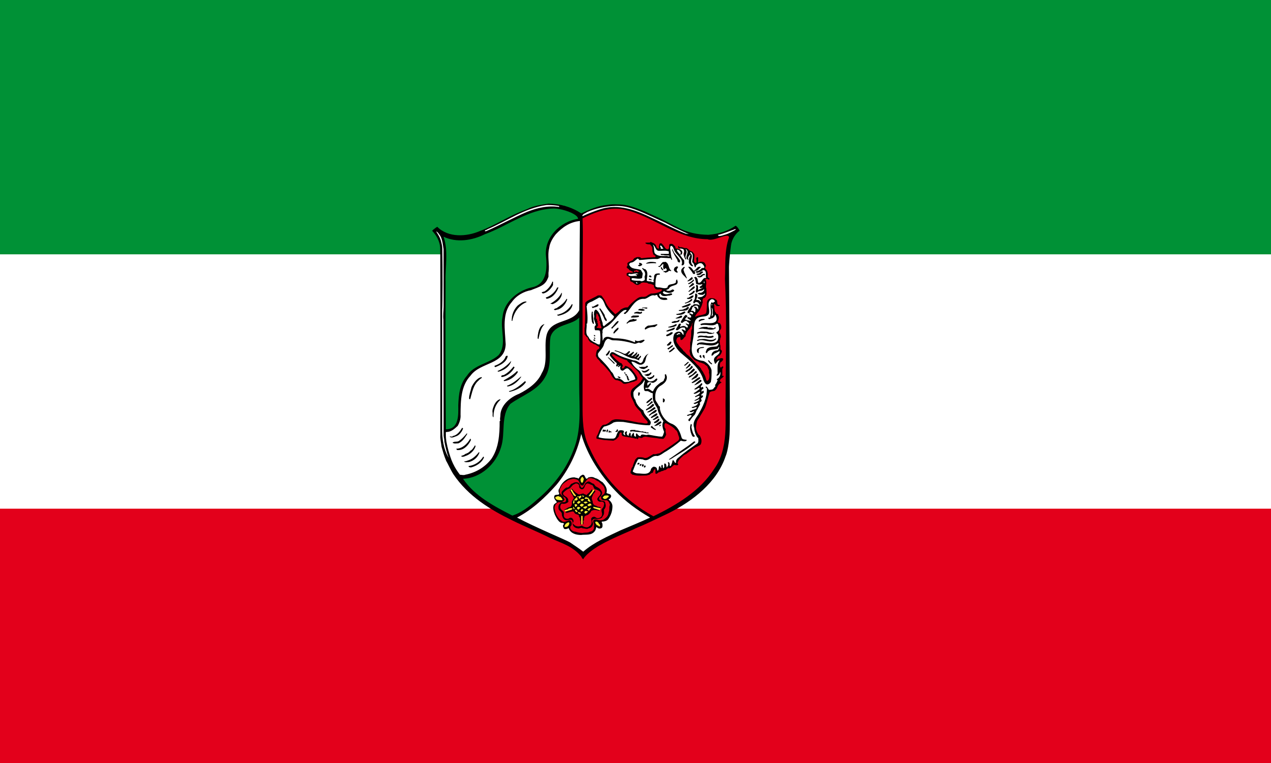 North Rhine-Westphalia
Poland
Russia
North Rhine-Westphalia
Poland
Russia
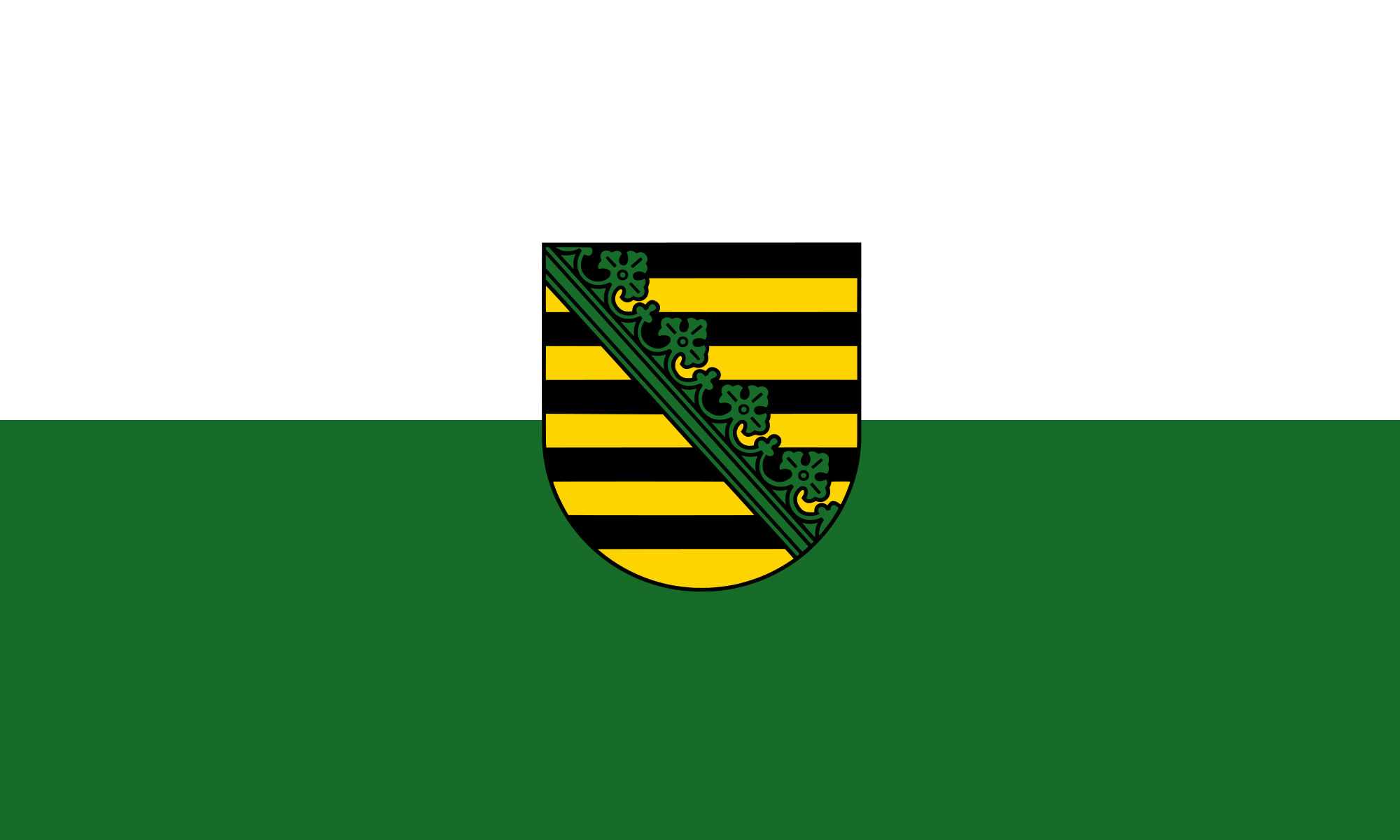 Saxony
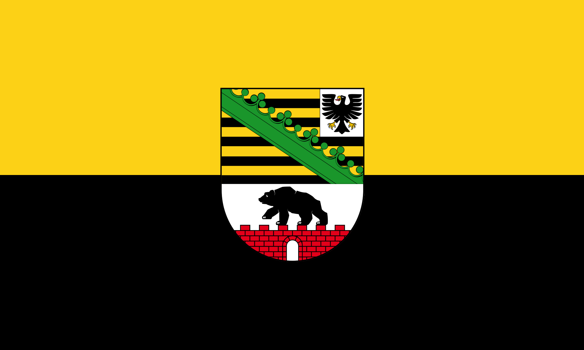 Saxony-Anhalt
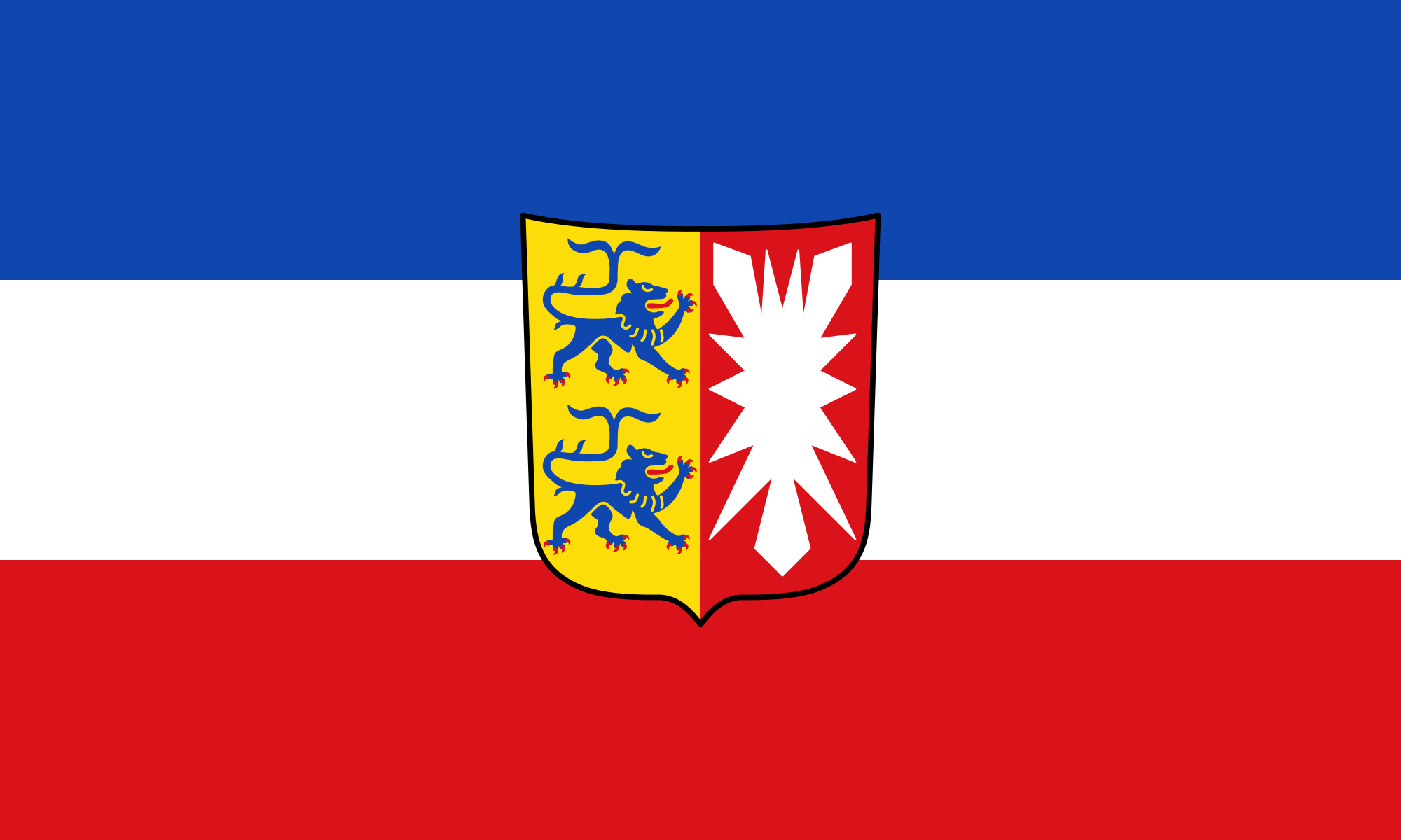 Schleswig-Holstein
Sweden
Switzerland
United Kingdom
Schleswig-Holstein
Sweden
Switzerland
United Kingdom
 World Heritage

Die Backsteingotik (englisch Brick Gothic, polnisch Gotyk ceglany) umfasst gotische Bauwerke, die aus oder mit sichtbarem Backstein errichtet wurden. Sie ist vor allem in Norddeutschland, dem Ostseeraum und den Niederlanden[1] verbreitet. Ihr Verbreitungsgebiet erstreckt sich im Westen bis an die Straße von Dover und im Südosten bis nach Galizien. Der auch oft verwendete Begriff Norddeutsche Backsteingotik erfasst daher nur einen Teil der gesamten Backsteingotik. Gotische Backsteinarchitektur in Italien und Südfrankreich wird in der Regel allein den dortigen Regionalstilen zugerechnet.
Die mittelalterliche Verwendung von Backstein als Baustoff setzte nördlich der Alpen im 12. Jahrhundert ein. Die ältesten Bauten gehören deshalb noch der so genannten Backsteinromanik an. Im 16. Jahrhundert ging die Backsteingotik in die Backsteinrenaissance über. Die geografische Verbreitung des Bauens aus Backstein und mit sichtbarem Backstein unterlag vom Beginn des Hochmittelalters bis in die frühe Neuzeit aber durchaus Veränderungen. So gab es in Teilen des Münsterlandes zwischen Pionierbauten der Romanik und dem starken Backsteineinsatz in Renaissance und Barock eine zeitliche Lücke.
Viele von der Backsteingotik geprägte Altstädte und Einzelbauten wurden in die Liste des UNESCO-Welterbes aufgenommen.
一种特别在德国北海和波罗的海海岸常见的哥特式建筑是用烤砖建造起来的建筑结构.这个十二世纪开始使用那红色的烤砖作为建 筑材料的独特建筑风格之所以在北部德国低地如此普及是因为这块地区缺少天然石而且运输也非常困难,由于那片地区和汉萨盟的一 致性,因此它就成为了汉萨同盟的象征.有些历史悠久的建筑也就成了联合国教科文组织世界文化遗产项目之一。
Brick Gothic (German: Backsteingotik, Polish: Gotyk ceglany, Dutch: Baksteengotiek) is a specific style of Gothic architecture common in Northwest and Central Europe especially in the regions in and around the Baltic Sea, which do not have resources of standing rock, but in many places a lot of glacial boulders. The buildings are essentially built using bricks. Buildings classified as Brick Gothic (using a strict definition of the architectural style based on the geographic location) are found in Belgium (and the very north of France), Netherlands, Germany, Poland, Lithuania, Latvia, Estonia, Kaliningrad (former East Prussia), Sweden and Finland.
As the use of baked red brick arrived in Northwestern and Central Europe in the 12th century, the oldest such buildings are classified as the Brick Romanesque. In the 16th century, Brick Gothic was superseded by Brick Renaissance architecture.
Brick Gothic is characterised by the lack of figural architectural sculpture, widespread in other styles of Gothic architecture. Typical for the Baltic Sea region is the creative subdivision and structuring of walls, using built ornaments and the colour contrast between red bricks, glazed bricks and white lime plaster. Nevertheless, these characteristics are neither omnipresent nor exclusive. Many of the old town centres dominated by Brick Gothic, as well as some individual structures, have been listed as UNESCO World Heritage sites.
The real extent and the real variety of this brick architecture has to be distinguished from the view of late 19th and early 20th century, especially the years around the end of World War I, when it was instrumentalized, politically.
Indeed, about a quarter of medieval Gothic brick architecture is standing in the Netherlands, in Flanders and in French Flanders. Some dominant buildings combinations of brick and stone. But the criterion "no stone at all" looks like a trick to exclude them.[according to whom?] The towers of St Mary church in Lübeck, the very top Brick Gothic church of the Baltic Sea region, have corners of granite ashley. And many village churches in northern Germany and Poland have Brick Gothic design, but most of their walls are formed by boulders.
L'architettura gotica dei paesi baltici è una varietà regionale dell'architettura gotica, in particolare del gotico tedesco. Le aree coinvolte in questa forma di architettura medievale si affacciano sul mar Baltico e sul Mare del Nord e, da un punto di vista politico, comprendevano gli stati settentrionali del Sacro Romano Impero, le città della Lega Anseatica, i possedimenti dell'Ordine Teutonico. Il periodo interessato va dal XIII secolo al XV secolo.
Le caratteristiche distintive sono che si tratta di un'architettura prevalentemente in laterizio e di una rielaborazione originale e per certi aspetti molto distante dall'iniziale gotico francese. I paesi europei attuali che hanno testimonianze di questa architettura sono Germania, Polonia, Lituania, Lettonia, Estonia, e nell'area della storica Prussia Orientale, (Oblast di Kaliningrad Russia); alcune testimonianze sono anche presenti in Scandinavia.
Le gothique de brique (allemand : Backsteingotik) est un style d´architecture gothique du Nord de l´Europe, et plus particulièrement du Nord de l'Allemagne et des régions autour de la mer Baltique. Il s'est surtout répandu dans les villes culturellement allemandes de l'ancienne Ligue Hanséatique à partir du XIIIe siècle, puis bien au-delà par influence (Scandinavie, Flandres, toute la Pologne, Allemagne du Sud). Les bâtiments sont essentiellement constitués de briques et le style de la décoration s'est adapté aux possibilités et aux limites de ce matériaux, conférant à cette architecture une identité bien particulière.
Il existe d'autres styles d'architecture gothique en brique en Europe, plus ou moins indépendants, comme en Italie et dans la région Toulousaine en France. Le style gothique baltique ne comprend pas tout le gothique en brique d'Europe.
El gótico báltico (en alemán, Norddeutsche Backsteingotik), forma la parte mayor del gótico de ladrillos (en alemán: Backsteingotik). Es una variante de la arquitectura gótica y neogótica que apareció en la Europa septentrional. Sin la especificación "Baltico" es estendido del estrecho de Calais a la Galicia de los Cárpatos. Con la especificación "Baltico" esta concentrada en el norte de Alemania y las zonas aledañas al mar Báltico. En todas estas regiones mancan recursos naturales para construir edificios de piedra. Se extendió principalmente en las ciudades culturalmente alemanas de la antigua Liga Hanseática desde el siglo XIII, y luego por influencia (Escandinavia, toda Polonia, el sur de Alemania). Los edificios son esencialmente de ladrillo y el estilo de decoración se ha adaptado a las posibilidades y límites de este material, dando a esta arquitectura una identidad muy particular.
Кирпичная, ганзейская или северогерманская готика — разновидность готического стиля архитектуры, распространённая в Северной Германии, Польше, Белоруссии и Прибалтике в XIII—XVI веках. Красный керамический кирпич как строительный материал стал использоваться в Северной Европе в XII веке, поэтому самые древние кирпичные образцы относятся ещё к так называемой «кирпичной романике». В XVI в. кирпичную готику сменил «кирпичный ренессанс».
Для кирпичной готики характерны, с одной стороны, отсутствие скульптурных украшений, которые невозможно выполнить из кирпича, и, с другой стороны, богатство орнаментальных деталей кладки и структуризация плоскостей за счёт чередования красного либо глазурованного кирпича и известковой побелки стен.
Многие города, внешний облик которых украшают готические сооружения из красного кирпича, являются объектами Всемирного культурного наследия ЮНЕСКО.
 Driving school
Egypt
Australia
Belgium
Brazil
China
Denmark
Germany
Finland
France
Greece
Driving school
Egypt
Australia
Belgium
Brazil
China
Denmark
Germany
Finland
France
Greece
 Hand in Hand
Driver's license
India
Indonesia
Italy
Japan
Canada
Kasachstan
Croatia
Malaysia
Hand in Hand
Hand in Hand
Driver's license
India
Indonesia
Italy
Japan
Canada
Kasachstan
Croatia
Malaysia
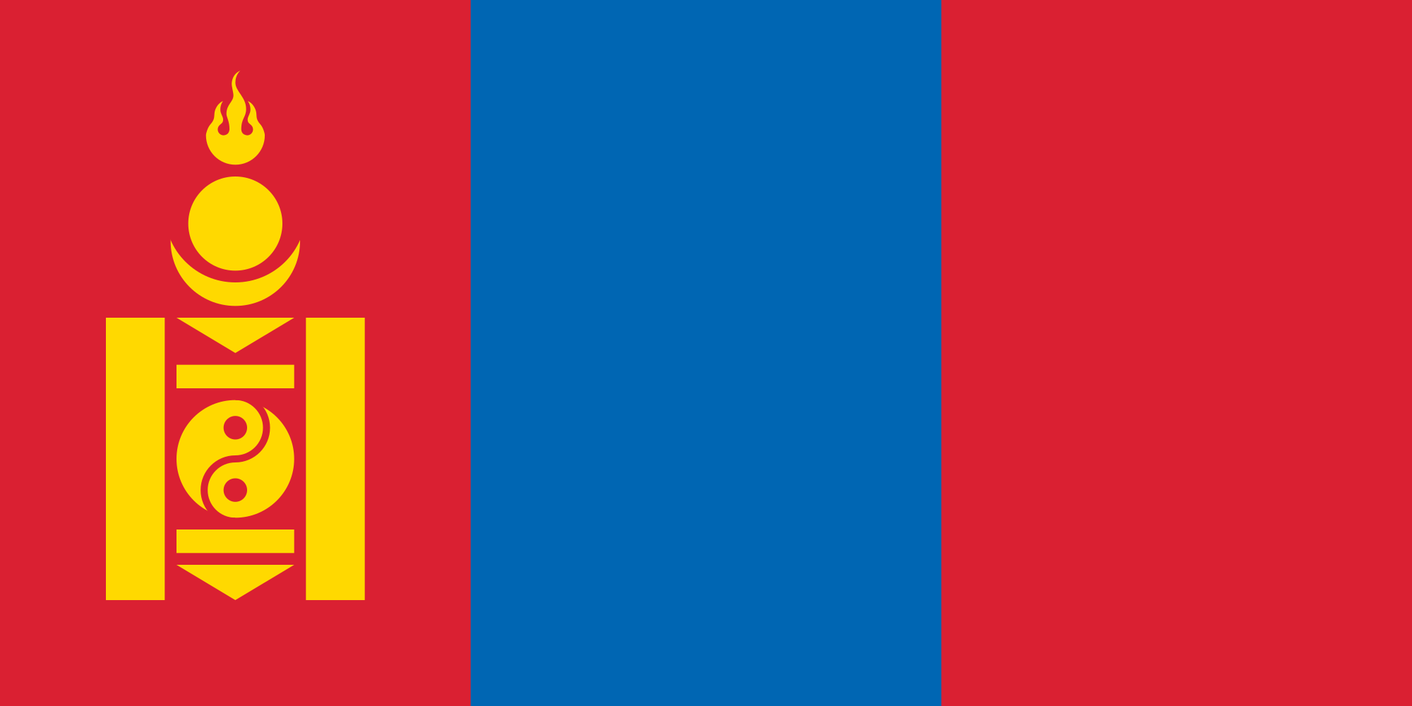 Mongolei
New Zealand
Netherlands
Useful info
Austria
Portugal
Republic of Korea
Russia
Saudi Arabia
Sweden
Switzerland
Singapore
Spain
South Africa
Thailand
Czech Republic
Turkey
Hungary
Mongolei
New Zealand
Netherlands
Useful info
Austria
Portugal
Republic of Korea
Russia
Saudi Arabia
Sweden
Switzerland
Singapore
Spain
South Africa
Thailand
Czech Republic
Turkey
Hungary
 Vacation and Travel
United Arab Emirates
United States
United Kingdom
Vacation and Travel
United Arab Emirates
United States
United Kingdom
国际驾驶执照(International Driving Permit)依照1949年日内瓦国际道路交通公约及1968年维也纳国际道路交通公约,由公约签署国政府签发,方便本国驾驶员在其他签约国驾驶私人车辆。国际驾驶执照为附加在一国驾驶执照之上的一本附加多国语言的说明,标注了驾驶人的基本信息以及允许驾驶的对应车辆种类等,解决驾驶员与其他国家的交通管理部门之间的沟通障碍。国际驾照不能独立存在,当驾驶员同时持有一国驾照与该国政府签发的国际驾照时,此国际驾照才视作有效。[1]
国际驾驶执照之内容及格式依照维也纳道路交通会议制订,但并非各国均批准该公约。
Ein Internationaler Führerschein ist ein Dokument, das von den Straßenverkehrsbehörden oder Automobilclubs[1] eines Landes aufgrund zwischenstaatlicher Verträge ausgestellt wird. Er soll vor allem der Polizei eines anderen Landes die Feststellung ermöglichen, ob ein ausländischer Kraftfahrer die Fahrerlaubnis hat, die für sein aktuelles Fahrzeug erforderlich ist.
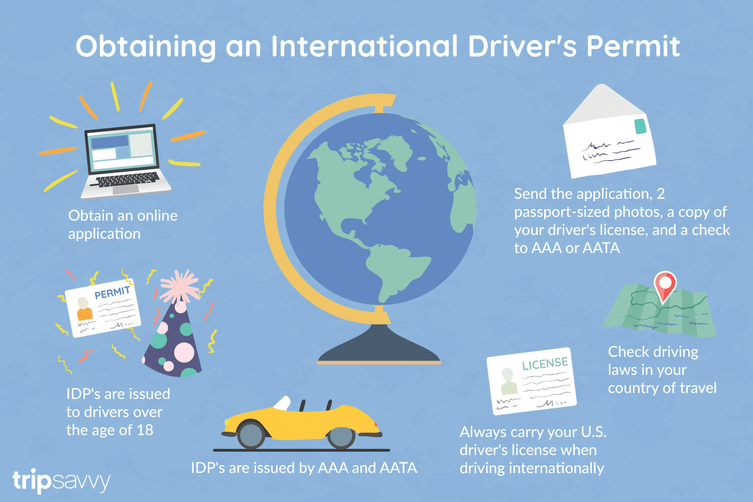
An International Driver's Permit (IDP) allows you to drive a vehicle in another country, as long as you also have a valid driver's license issued by your state. It is also recognized as a proper form of identification in over 175 countries and by many major car rental companies internationally.
Getting an International Driver's Permit (sometimes incorrectly called an international driver's license) can take anywhere from a day to a few weeks, depending on whether you're going through walk-in processing or applying via mail, so make sure to plan ahead if you're planning to drive on your international trip. There are only two locations in the United States that issue these documents: The American Automobile Association (AAA) and the American Automobile Touring Alliance (AATA).
In the United States, International Driver Permits (IDPs) are only issued by the American Automobile Association and the American Automobile Touring Alliance, and the State Department recommends against purchasing an IDP from other outlets as they are all entirely illegal to buy, carry, or sell.
IDPs can be issued to anyone over 18 who has had a valid driver's license for six months or longer. They typically remain valid for one year or the expiration of your existing state driving license. It's essential to investigate an IDP before your trip and make sure you know the requirements.
Both AAA and AATA are excellent sources for these documents, so once you've selected a provider, go to either the AAA's or NAATA's website, print out the International Driving Permit Application, complete all applicable fields, and submit it.
Once you have the application completed, you can send it in via the mail or visit a local office of an organization like AAA; you'll also need two original passport-sized photos and a signed copy of your valid U.S. driver's license as well as an enclosed check for the fee.
Tips to Getting and Using Your Permit
AAA offices can process IDPs during your visit, but processing generally takes 10 to 15 business days if you send the application in. However, expedited services may be available to get your license within one or two business days for an additional fee.
When applying, you'll need a computer and printer, a completed application, a copy of your valid U.S. driver's license, two passport photos, and a check, money order, or credit card to complete the process. Remember to bring these with you if you're applying in person.
Always make sure to carry your valid United States driver's license when driving internationally, as your IDP is invalid without this accompanying proof of eligibility to drive. IDPs only translate domestically-accepted licenses and do not allow those without government-issued driver's licenses to drive abroad.
You'll also want to make sure to enclose the proper fees (the fee for the IDP, as well as any shipping and handling fees), photos, and photocopies of your license when submitting your application to AAA or AATA as omitting any of these required documents will result in your application being rejected.
You should also check the driving requirements and laws for the countries you will be driving in on your vacation, so you'll know what will be required in the event you get stopped by local authorities. (Quelle:https://www.tripsavvy.com/)
