Deutsch-Chinesische Enzyklopädie, 德汉百科
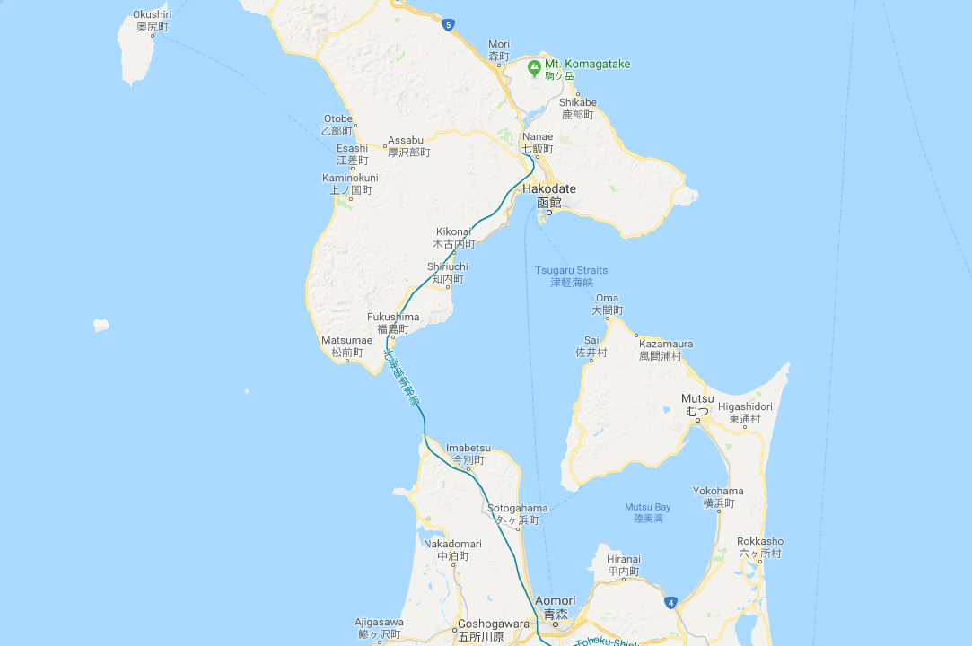
 Tōhoku
 Ships and Nautics

 Ski vacation

 Energy resource

 Geography

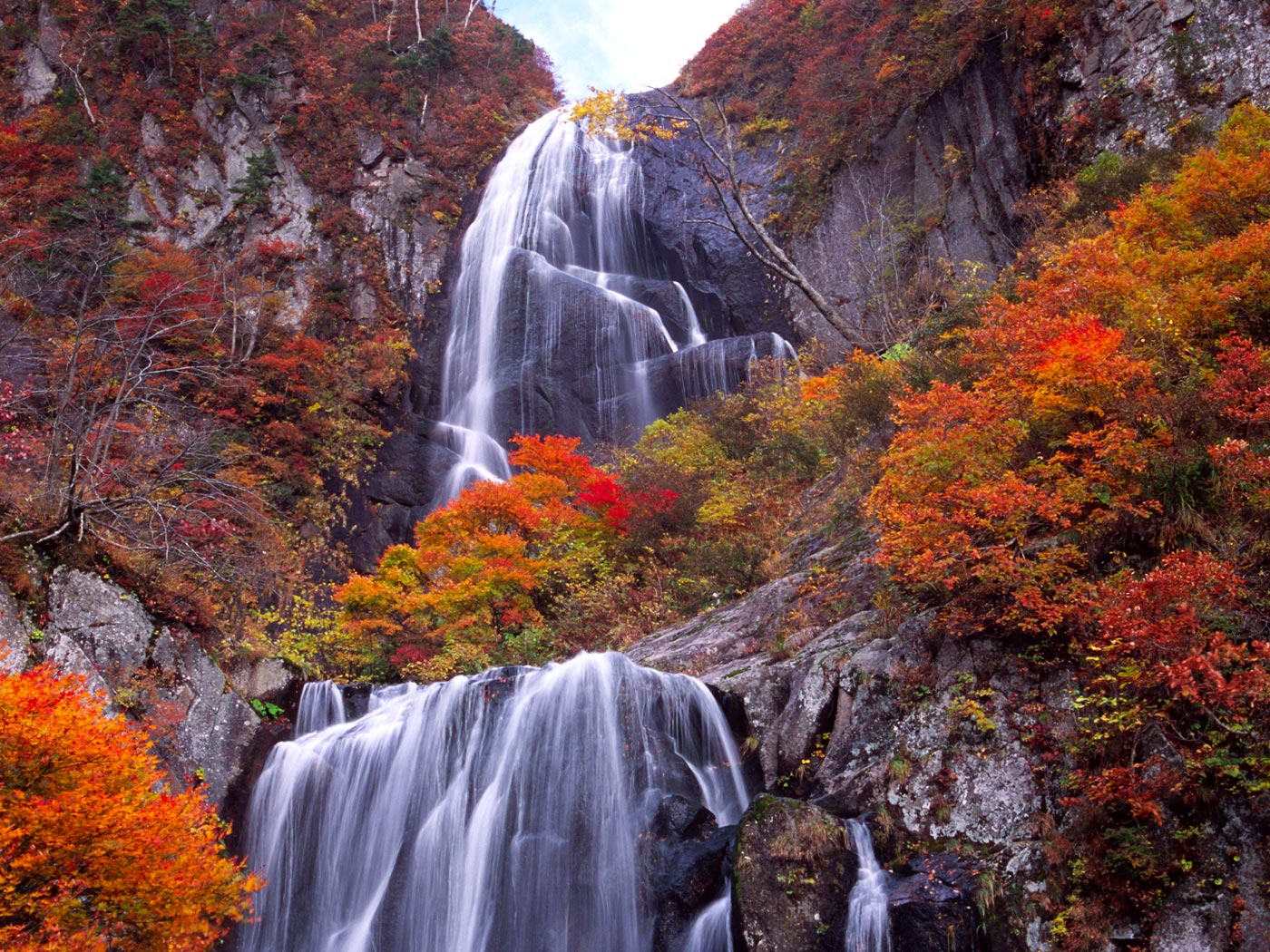
Die Region Tōhoku (jap. 東北地方 Tōhoku-chihō) befindet sich auf der Insel Honshū, der größten Insel Japans. Tōhoku ist relativ dünn besiedelt mit wenigen Großstädten. In den Bergen gibt es viele heiße Quellen. Die Küste besteht hauptsächlich aus Felsenküste. Früher lebten hier die Ezo. Auf Japanisch bedeutet Tōhoku „der Nordosten.“
Die Region Tōhoku liegt im Norden von Honshu. Ihre westliche Seite ist am Japanischen Meer, die östliche Seite am Pazifik. Sie ist gebirgig, vor allem im mittleren Teil. Am Meer gibt es einige Ebenen, auf denen sich auch die wichtigsten Städte befinden.
Das Klima ist im Westen und Osten unterschiedlich. Im Osten ist es relativ milde, im Westen hingegen ist es eher kühler mit viel Schnee im Winter.
东北地方(日语:東北地方/とうほくちほう Tōhoku Chihō */?)是日本本州岛上的一个地区,因位于本州的东北部而得名。它向北与北海道岛隔津轻海峡相望,向南与中部地方、关东地方相连,东侧及西侧分别濒临太平洋及日本海。东北地方古称“奥羽”,现今则设有6县,从北至南分别为青森县、秋田县、岩手县、山形县、宫城县和福岛县,总面积约占本州的三成[1]。在广域的地理分区上,东北地方属于东日本,但有时在气象、历史地理学等领域中与北海道共同划归于北日本[2]。
 Nobel prize
 Nobel Prize in Chemistry
Nobel prize
University/Institute
Tōhoku
Top Global University Project
Top Type
Top Global University Project
National universities
Universities in Japan
Nobel Prize in Chemistry
Nobel prize
University/Institute
Tōhoku
Top Global University Project
Top Type
Top Global University Project
National universities
Universities in Japan
 Top Global University Project
Global Traction Type
Top Global University Project
Prefectural universities
Universities in Japan
Top Global University Project
Top Global University Project
Global Traction Type
Top Global University Project
Prefectural universities
Universities in Japan
 Sport
Sport
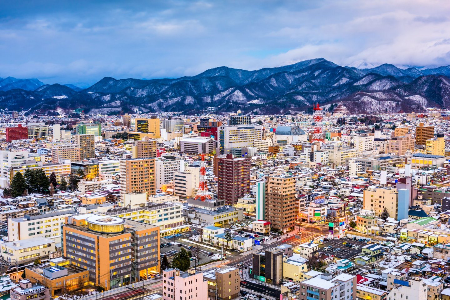
 International cities
 Architecture
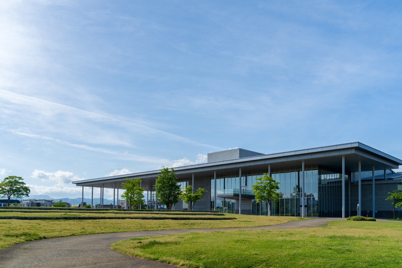
 Art
Art