
Deutsch-Chinesische Enzyklopädie, 德汉百科
 Spain
Spain
 Primera División
 Primera División 2015/16
 Primera División 2016/17
 Primera División 2017/18
 Primera División 2018/19
 Primera División 2019/20
 Primera División 2020/21
 Primera División 2021/22
 Primera División 2022/23
 Primera División 2023/24
 Primera División 2024/25
 Spain
Spain

 Sport
Sport

 Sport
Sport
 (F)Primera División

西班牙足球甲级联赛(Primera división de Liga,简称 La Liga)是西班牙最高等级的职业足球联赛,也是欧洲及世界最高水平的职业足球联赛之一,通常简称“西甲”。目前西甲有20支球队,联赛成绩最差的三队将会降级到乙级联赛,乙级联赛的前三名则晋升到甲级联赛。 西甲联赛的球风注重技术与进攻,具有很强的观赏性。按国际足联和欧洲足联的官方积分,西甲曾经多年位于积分榜的首位。西甲在球员和球迷心中有相当大的号召力,尤其是一向以来都有许多世界著名的足球运动员在西甲联赛踢球,当中以阿根廷和巴西球员最多。而联赛里皇家马德里和巴塞罗那是世界上最著名的球队之一,他们之间的比赛被称为西班牙“国家德比”,在中文媒体中也称为“世纪大战”。 西甲联赛球季由每年八月开始,至隔年五月结束。(Quelle:Wikipedia)

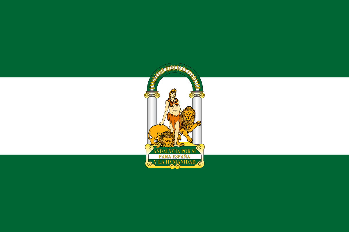 Andalusia

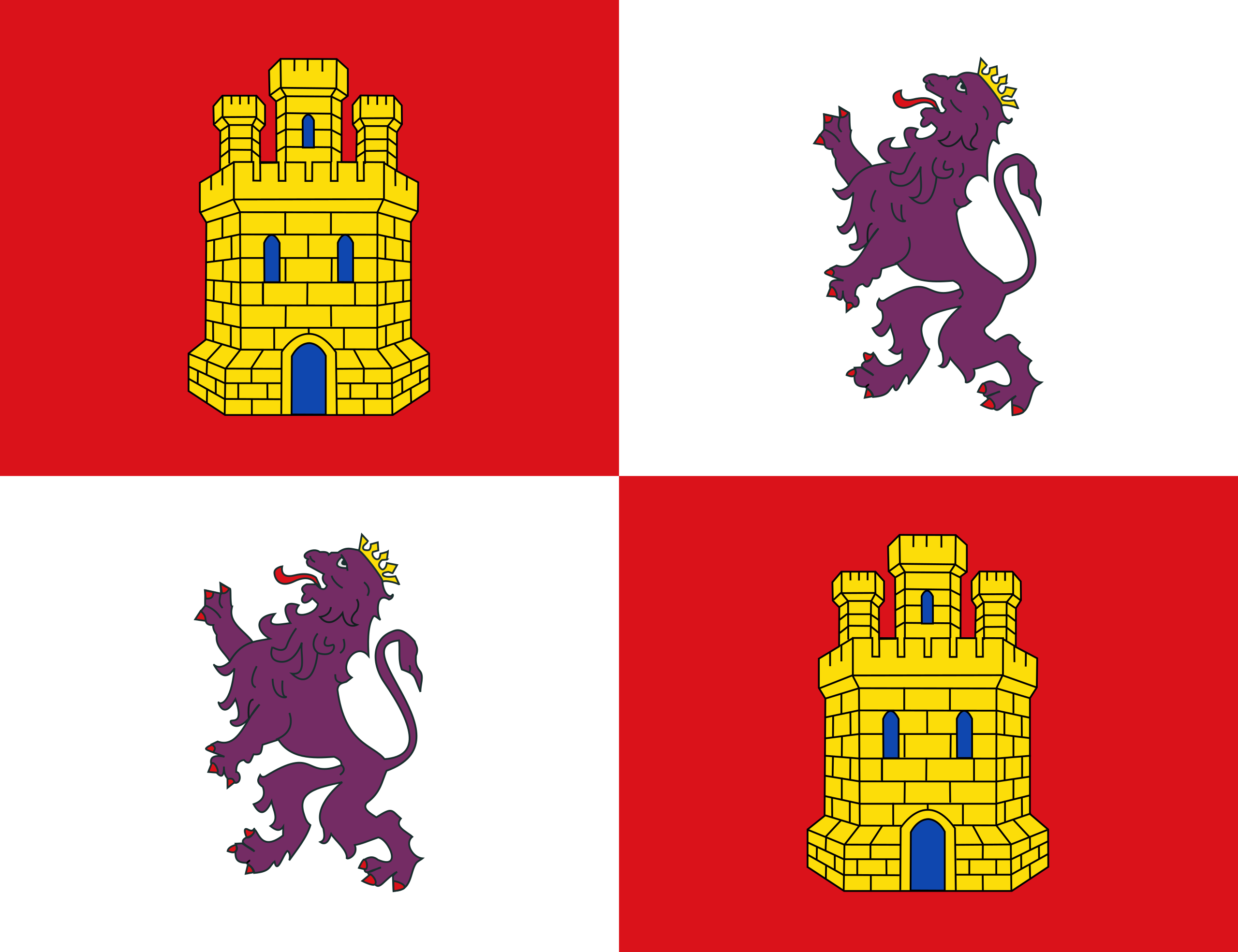 Castilla y León

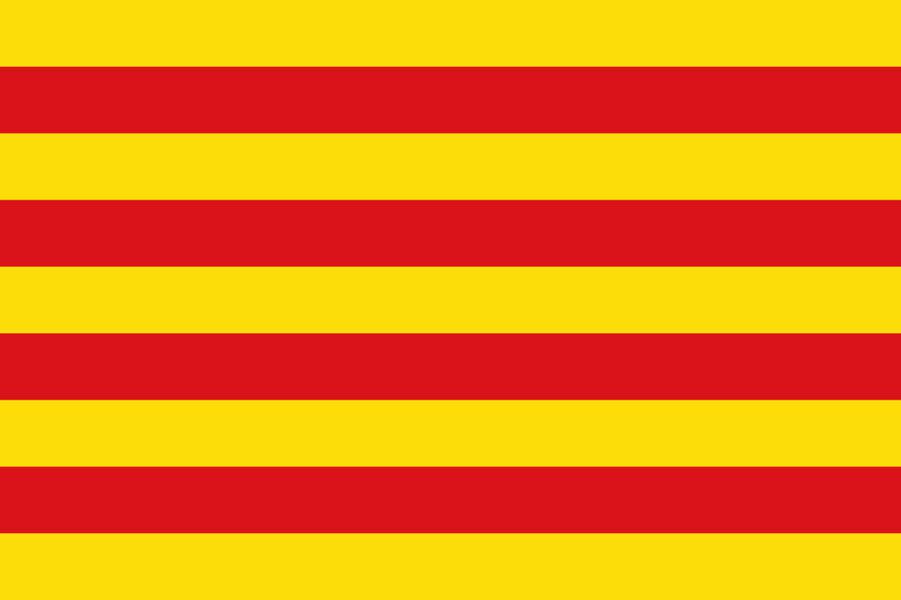 Cataluña

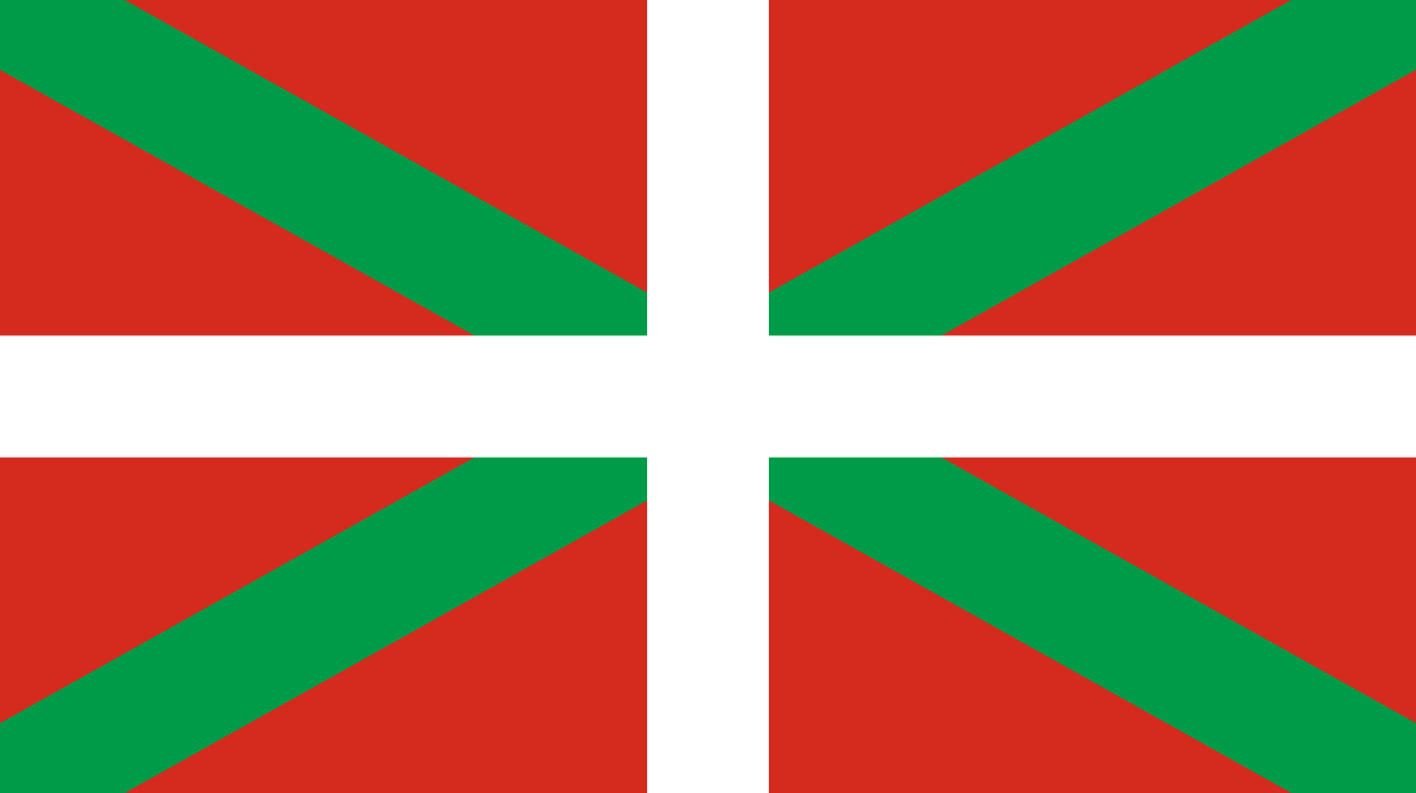 Comunidad Autónoma del País Vasco

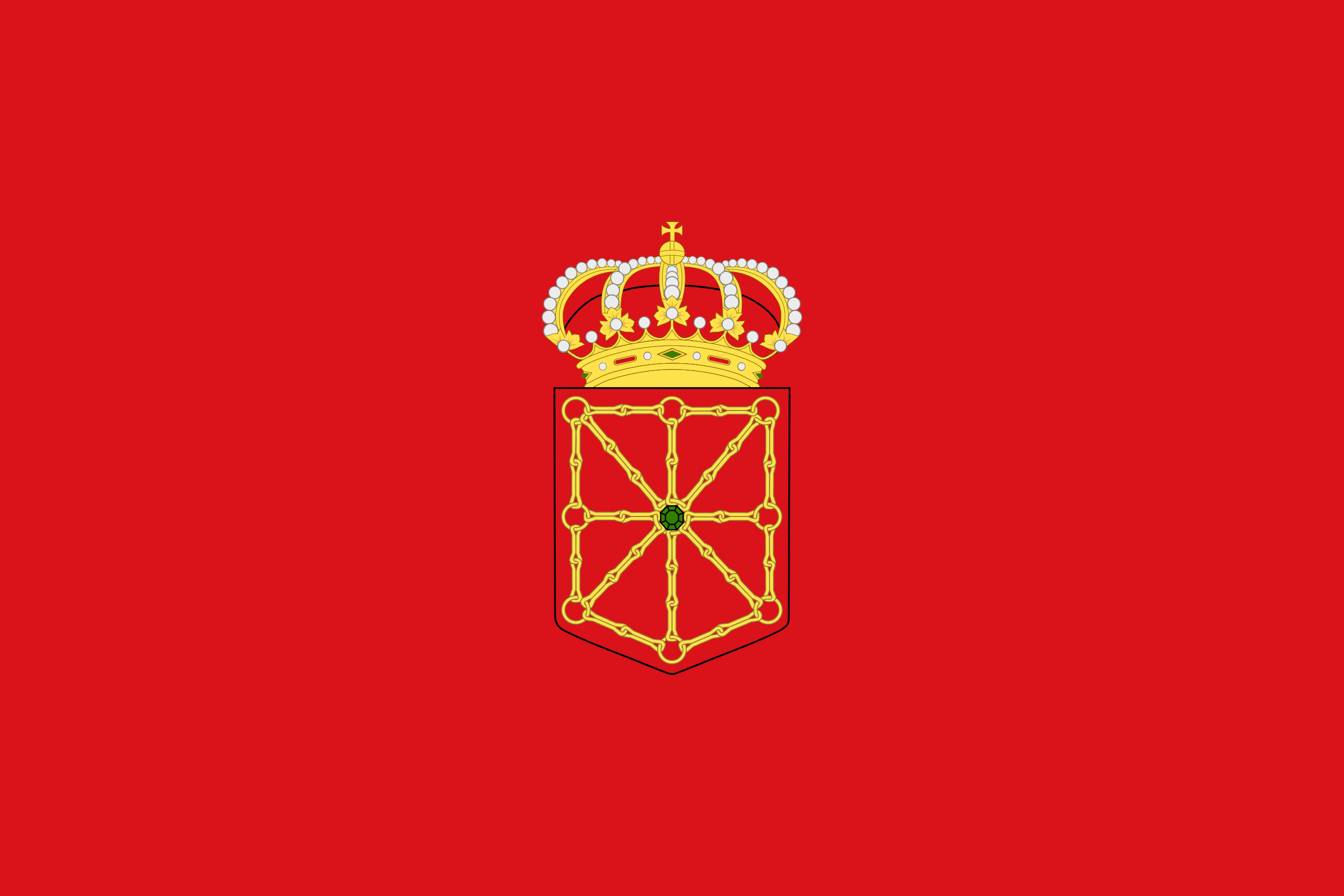 Foral Community of Navarra

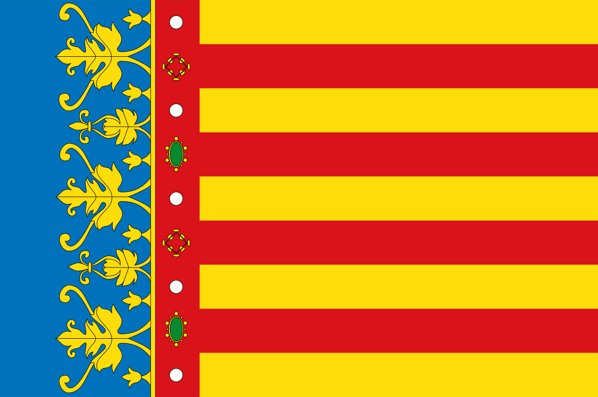 Valencian Community

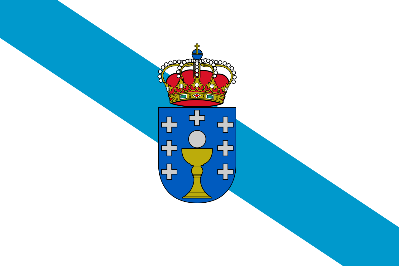 Galicia

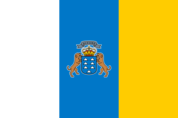 Canary Islands

 Madrid
 Primera División 2024/25
 Spain
Spain




比利牛斯山,位于欧洲西南部,山脉东起于地中海,西止于大西洋,分隔欧洲大陆与伊比利亚半岛,也是法国与西班牙的天然国界,山中有小国安道尔。[1][2]
长435公里,宽80公里-140公里,一般海拔在2,000米以上,最高峰阿内托峰海拔3,404米;有现代冰川覆盖。
在比利牛斯山中有比利牛斯山国家公园。这国家公园成立于1967年,沿着法国和西班牙国界延伸1百多公里。此地景致壮观,包括了大量蝴蝶飞翔的草地和终年积雪的高山峰顶。海拔的高度和气候的变化颇大,因而区内拥有多样化的动植物。
Die Pyrenäen (spanisch Pirineos, französisch Pyrénées, baskisch Pirinioak, katalanisch Pirineus, aragonesisch Perinés und okzitanisch Pirenèus; von lateinisch Pyrenaei [montes] ‚das pyrenäische Gebirge zwischen Spanien und Gallien‘)[1] sind eine rund 430 km lange Gebirgskette. Sie trennen die Iberische Halbinsel im Süden vom übrigen Europa im Norden und spannen sich vom Atlantischen Ozean im Westen (Golf von Biscaya) bis zum Mittelmeer im Osten (Golf de Roses). Sie sind Teil des Alpidischen Gebirgssystems.
Die Staatsgrenze zwischen Frankreich und Spanien folgt im Wesentlichen dem Gebirgskamm. Mitten in den Pyrenäen liegt auch der Kleinstaat Andorra.
Die Herkunft der Bezeichnung Pyrenäen ist unbekannt. Nach griechischer und römischer Literatur, u. a. nach Silius Italicus,[2] sollen sie nach Pyrene, einer Figur aus der griechischen Mythologie, benannt worden sein.
ピレネー山脈(ピレネーさんみゃく、フランス語: Les Pyrénées、スペイン語: Los Pirineos、オック語:Los Pirenèus、カタルーニャ語: Els Pirineus、バスク語: Pirinioak)は、ユーラシア大陸西端部のイベリア半島の付け根付近をほぼ東西方向に走る、長さ約430 kmの褶曲山脈である。ピレネー山脈は、地質学的にはアルプス山脈よりも古い時代の地層からできている。古生代から中生代にかけて海底の比較的浅い場所に堆積してできた地層が、特に古第三紀始新世頃の大陸移動に伴う圧力の影響を受けて隆起や褶曲を起こしたことによって、ピレネー山脈の原型が形成されたと考えられている。その後、降雨や流水などによる侵食などの影響などを受けて、現在のピレネー山脈の形状になったとされる。こうしてできた現在のピレネー山脈の山体を構成する主な岩石は花崗岩であるものの、山脈の西部の周辺部には石灰岩なども見られる。
The Pyrenees (/ˈpɪrɪniːz/; Spanish: Pirineos [piɾiˈneos]; French: Pyrénées [piʁene] (![]() listen); Catalan: Pirineu [piɾiˈnɛw]; Basque: Pirinioak [piɾini.o.ak]; Occitan: Pirenèus [piɾeˈnɛws]; Aragonese: Pirineus) is a mountain range straddling the border of France and Spain. It extends nearly 500 km (310 mi) from its union with the Cantabrian Mountains to Cap de Creus on the Mediterranean coast. It reaches a maximum altitude of 3,404 metres (11,168 ft) at the peak of Aneto.[1]
listen); Catalan: Pirineu [piɾiˈnɛw]; Basque: Pirinioak [piɾini.o.ak]; Occitan: Pirenèus [piɾeˈnɛws]; Aragonese: Pirineus) is a mountain range straddling the border of France and Spain. It extends nearly 500 km (310 mi) from its union with the Cantabrian Mountains to Cap de Creus on the Mediterranean coast. It reaches a maximum altitude of 3,404 metres (11,168 ft) at the peak of Aneto.[1]
For the most part, the main crest forms a divide between Spain and France, with the microstate of Andorra sandwiched in between. Historically, the Crown of Aragon and the Kingdom of Navarre extended on both sides of the mountain range.
Les Pyrénées sont une chaîne montagneuse du sud-ouest de l'Europe. Elles s'étendent en longueur selon une direction est-ouest sur une distance approximative de 430 kilomètres depuis la mer Méditerranée (Cap de Creus) jusqu'au golfe de Gascogne (Cap Higuer). Barrière géographique résultant de la collision des plaques ibérique et eurasiatique, les Pyrénées culminent à 3 404 mètres d'altitude au pic d'Aneto et séparent la péninsule Ibérique au sud du reste de l'Europe continentale au nord. Frontière naturelle, elles séparent l'Espagne de la France tout en abritant la principauté d’Andorre.
La chaîne des Pyrénées traverse deux régions et six départements français : d’est en ouest les régions Occitanie (Pyrénées-Orientales, Aude, Ariège, Haute-Garonne et Hautes-Pyrénées) et Nouvelle-Aquitaine (Pyrénées-Atlantiques). Côté espagnol, elle traverse quatre communautés autonomes et sept provinces d'Espagne : d’est en ouest la Catalogne (Gérone, Barcelone et Lérida), l'Aragon (Huesca et Saragosse), la Navarre (communauté composée d'une seule province du même nom) et la Communauté autonome basque (Guipuscoa).
Trois sentiers de grande randonnée traversent les Pyrénées d'ouest en est : le GR 10 côté français, le GR 11 côté espagnol et la Haute randonnée pyrénéenne.
I Pirenei (in spagnolo Pirineos, francese Pyrénées, portoghese Pireneus, occitano Pirenèus, catalano Pirineus, aragonese Perinés, basco Pirinioak) sono una catena montuosa che forma il confine fra la Spagna e la Francia. Separano la Penisola iberica dalla Francia e si estendono per circa 430 km dal Mar Cantabrico (golfo di Biscaglia) fino al Mar Mediterraneo (cap de Creus). La vetta più alta dei Pirenei è il Picco d'Aneto (3.404 m s.l.m.), situato nel versante spagnolo. L'origine del toponimo non è certa, ma potrebbe derivare dal verbo greco peiro che significa infilzare, alludendo alle cime della catena montuosa che "infilzano" il cielo. Secondo un'altra teoria il nome deriverebbe dalla principessa Pirene che, rapita da Eracle, partorì un serpente. Pirene, spaventata, scappò sui monti (identificati con i Pirenei) dove morì divorata dalle bestie selvatiche. Eracle, rattristato, darà a quei monti il nome della sua amata.
Los Pirineos o el Pirineo es un sistema montañoso situado en el noreste de la península ibérica, que hace de frontera natural entre Andorra, España y Francia. Se extiende en dirección este-oeste a lo largo de 491 km aproximadamente, desde el cabo de Creus en el mar Mediterráneo hasta su unión con la cordillera Cantábrica, donde se ha establecido la falla de Pamplona como su límite convencional geológico, no existiendo interrupción geográfica entre ambas formaciones.1 En su parte central tiene una anchura de unos 150 km.
En la ladera norte, los Pirineos se extienden por las regiones francesas de Nueva Aquitania y Occitania. En la ladera sur por las comunidades autónomas españolas del País Vasco, Navarra, Aragón y Cataluña. El micro-Estado de Andorra está enclavado en la cordillera.
La norma general, según la cual la ladera norte es de soberanía francesa y la sur española, presenta varias excepciones. La Comunidad Foral de Navarra tiene tres áreas en la vertiente norte. El primer caso es el del valle de Xareta, en la cuenca del Ugarana. Dos de sus cuatro municipios, Zugarramurdi y Urdax, son de soberanía española. El segundo se halla entre el territorio denominado Quinto Real y el valle de los Aldudes. Aquí España adentra su frontera a lo largo de 12 km en los prados y laderas de la vertiente norte, sin encontrarse en la zona poblaciones ni localidades. El tercer caso es el del municipio de Valcarlos y sus pedanías. En Cataluña, el Valle de Arán es el mayor territorio transpirenaico de España. Este valle, compuesto por nueve municipios, se engloba geográficamente en la cuenca atlántica y en él nace uno de los principales ríos franceses: el Garona.2
Las montañas pirenaicas albergan picos de más de 3000 metros de altitud, como el Aneto (3404 m), el Posets (3375 m), el Monte Perdido (3355 m), el Pico Maldito (3350 m), el Pico Espadas (3332 m), el Vignemale (3298 m), el Balaitus (3144m) y la Pica d'Estats (3143 m), pequeños glaciares, lagos y circos de origen glaciar, y numerosos valles y cañones.
Пирене́и, или Пиренéйские горы (фр. Pyrénées, исп. Pirineos, окс. Pirenèus, кат. Pirineus, баск. Pirinioak) — горная система во Франции, Испании и Андорре, между Бискайским заливом и Средиземным морем. Исторически по обе стороны горного хребта простирались Княжество Каталония, Королевство Арагон, Окситания и Королевство Наварра.
 Egypt
Egypt
 Algeria

 Andalusia
 Argentina


 Automobile


 Automobile
 PEUGEOT


 Automobile
 MINI
MINI


 Automobile
 Volkeswagen


 Automobile
 Kamaz
Kamaz


 Automobile
 IVECO
IVECO


 Automobile
 Mitsubishi


 Automobile
 MAN
MAN


 Automobile
 Tatra
Tatra


 Automobile
 Hino
Hino


 Automobile
 Citroën


 Automobile
 Porsche


 Automobile
 DAF
DAF


 Automobile
 Mercedes


 Automobile
 Renault


 Automobile
 Land Rover

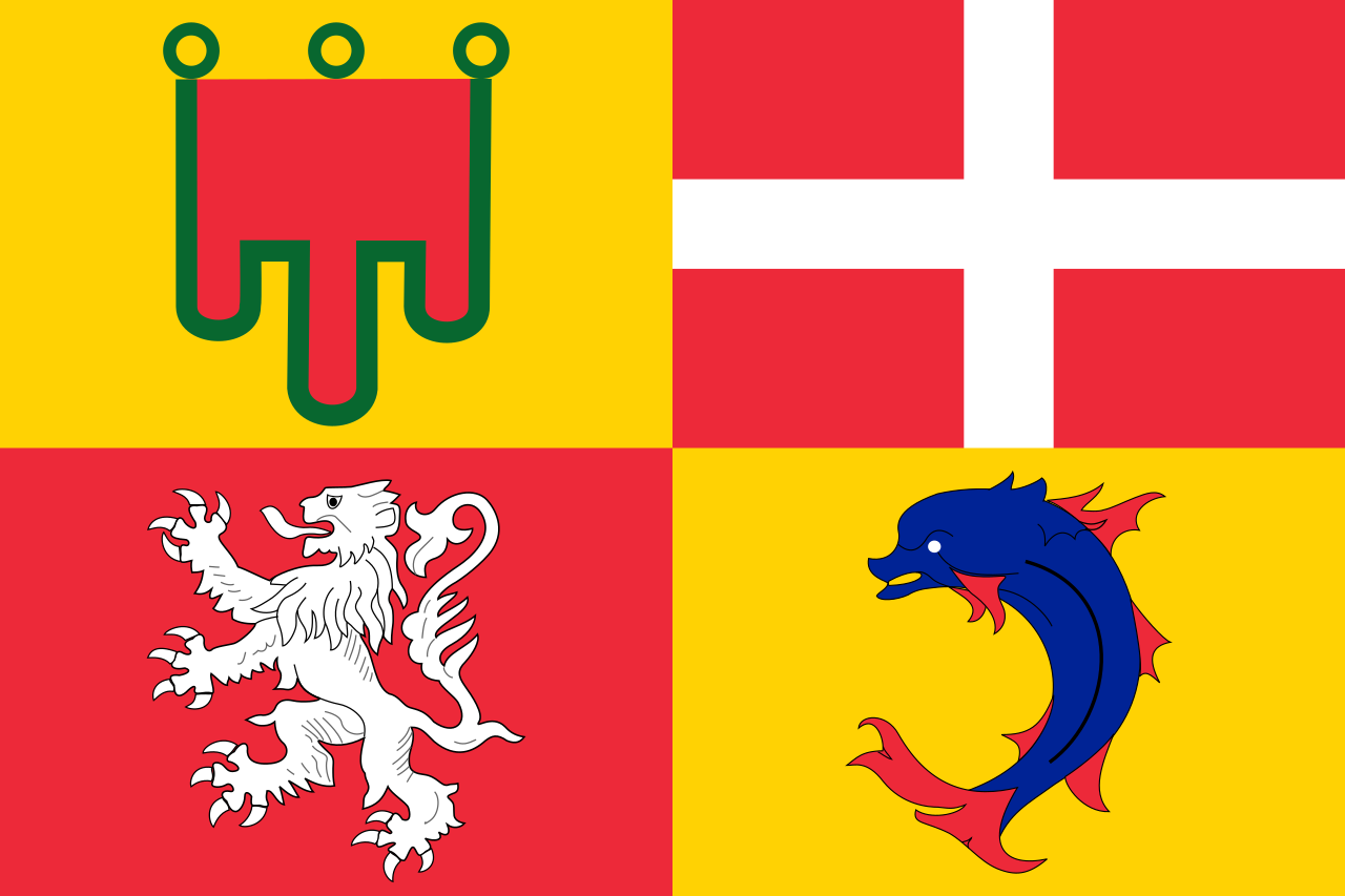 Auvergne-Rhône-Alpes
 Bolivia

 Cataluña
 Chile
Chile
 France

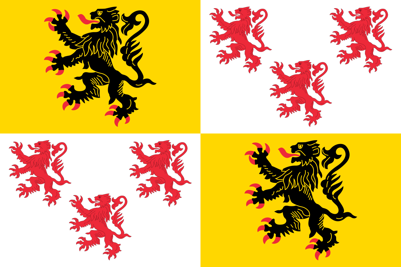 Hauts-de-France

 Ile-de-France
 Libya
Libya

 Madrid
 Niger
Niger
 Portugal

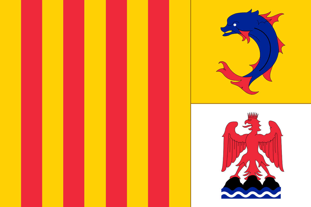 Provence-Alpes-Côte d´Azur
 Senegal
 Spain
Spain

 Sport
Sport
 South Africa
 Tunisia

Die Rallye Dakar (früherer Name Rallye Paris–Dakar) ist ein Rallye-Raid-Wettbewerb, der als die bedeutendste Langstrecken- und Wüstenrallye der Welt gilt. Sie wurde von 1978 bis 2007 einmal jährlich hauptsächlich auf dem afrikanischen Kontinent ausgetragen. Im Jahr 2008 wurde die Rallye Dakar aufgrund einer Terrordrohung abgesagt. Seit 2009 findet sie aus Sicherheitsgründen auf dem südamerikanischen Kontinent statt.
2016 fand die 38. Auflage vom 2. bis 16. Januar in Argentinien und Bolivien statt. Neben einem Prolog von Buenos Aires nach Rosario wurden 13 Etappen und 9246 km Strecke gefahren, 4792 km flossen in die Wertung ein. Aufgrund des Naturphänomens El Niño verzichtete man auf Strecken in Peru.[1]


 Architecture
 History
 Life and Style
 Fashion world
 Geography
 Aragón
 Nouvelle-Aquitaine
 Occitania
 Motorsport
 Science and technology
 Music
Music
 Colleges and Universities in Europe