
Deutsch-Chinesische Enzyklopädie, 德汉百科
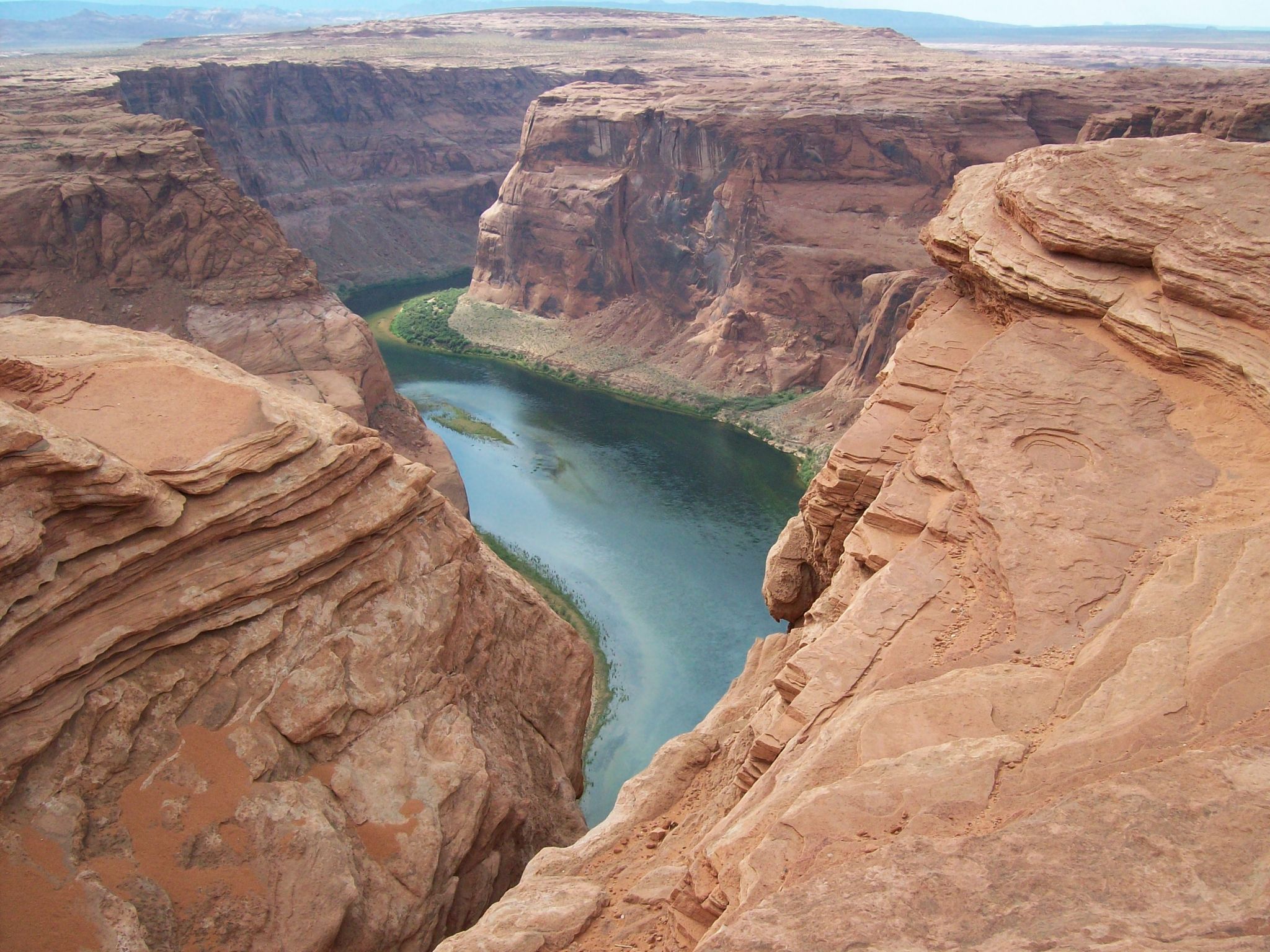
 Colorado-CO



 American Football Conference AFC
 West
West

 Colorado-CO
 National Football League 2015
 National Football League 2016
 National Football League 2017
 National Football League 2018
 AFC West
 National Football League 2018
 American Football Conference,AFC
 Super Bowl


 Colorado-CO
 NBA 2015/16
 NBA 2016/17
 Western-Conference
 NBA 2017/18
 Northwest-Division
 NBA 2017/18
 Western-Conference
 Western Conference
 Northwest-Division



 Alberta-AB

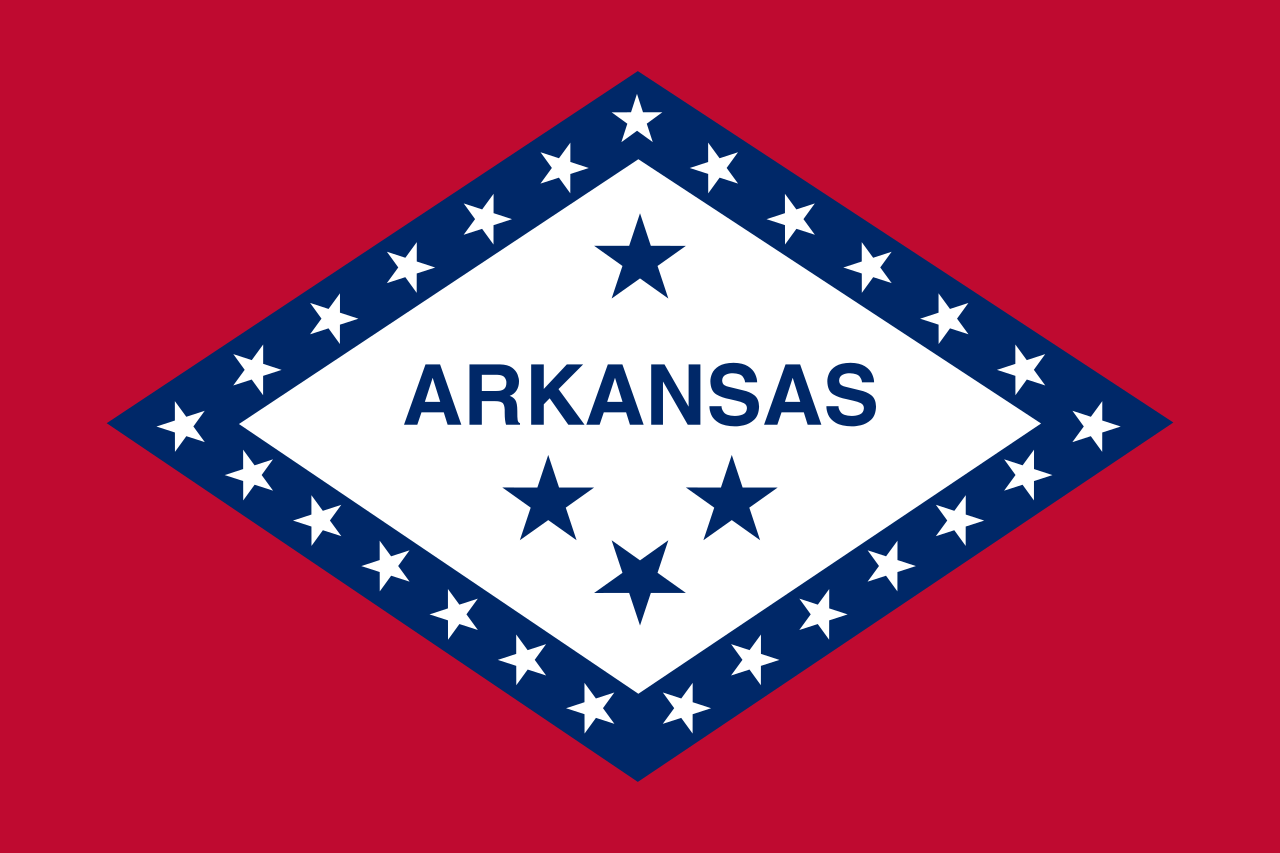 Arkansas-AR

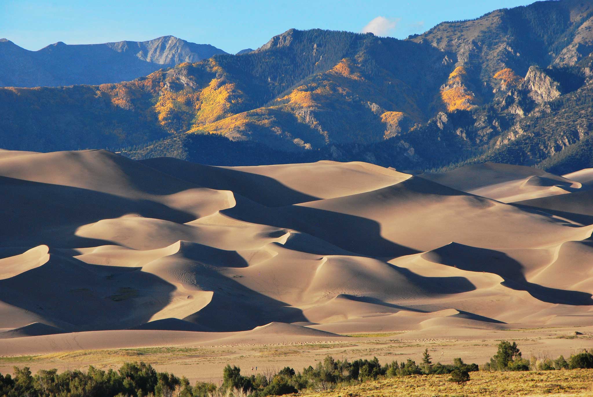
 Colorado-CO
 Canada

 Manitoba-MB
 Mexico
 Mississippi River

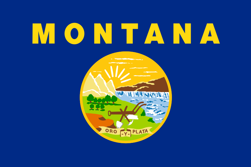 Montana-MT

 Nebraska-NE

 New mexico-NM

 North Dakota-ND

 Oklahoma-OK

 Saskatchewan-SK

 South Dakota-SD

 Texas-TX
 United States

 Wyoming-WY
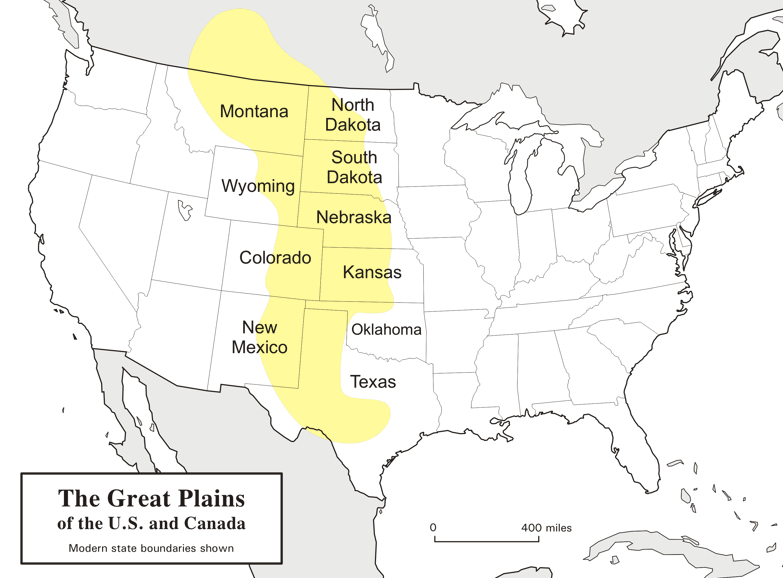
大平原(英语:Great Plains),多称北美大平原、北美大草原,是北美洲中部一块广袤的平原地区,大致位于密西西比河以西、洛基山脉以东、格兰德河以北。自然植被以草为主。
大平原东西长800千米,南北长3,200千米。另根据内布拉斯加-林肯大学大平原研究中心的定义,其总面积约130万平方千米。大平原主要包括了美国的科罗拉多州、堪萨斯州、蒙大拿州、内布拉斯加州、新墨西哥州 、北达科他州、俄克拉荷马州、南达科他州、得克萨斯州和怀俄明州,以及加拿大的草原三省(艾伯塔省、曼尼托巴省和萨斯喀彻温省)还有墨西哥的一小部分。
Die Great Plains (deutsch „Große Ebenen“) sind ein trockenes Gebiet östlich der Rocky Mountains in Nordamerika. Naturräumlich sind sie die klassischen Kurzgras-Prärien des amerikanischen Westens, heute werden sie intensiv landwirtschaftlich genutzt. Sie reichen von den kanadischen Prärieprovinzen (Alberta, Saskatchewan und Manitoba) bis nach Texas; manchmal wird auch ein kleiner Teil Mexikos dazu gezählt.
Die Great Plains umfassen (je nach Grenzziehung) eine Fläche von knapp 2 Millionen Quadratkilometern und erstrecken sich insgesamt etwa auf einer maximalen Breite von über 750 km und einer Länge von fast 3000 km. Während sie an den Rocky Mountains noch über 1800 m hoch sind, fallen sie nach Osten auf ca. 500 m ab. Damit sind sie insgesamt als Hochebene zu betrachten, die sich als „Piedmont-Plateau“, zum Teil in Schichtstufen ansteigend, vor dem Gebirge ausbreitet.
Man kann die Great Plains in zwei klimatische Regionen unterteilen, da man westlich des 100. Längengrades einen spärlichen Niederschlagsdurchschnitt vorfindet (weniger als 500 mm pro Jahr), wohingegen die östliche Region ein vergleichsweise humides Klima hat. Entsprechend dominiert im Westen die Viehwirtschaft und im Osten der Getreideanbau.

 Alabama-AL

 Alaska-AK

 Arizona-AZ

 Arkansas-AR

 Education and Research
 Universities and colleges in the United States of America

 California-CA

 Colorado-CO

 Connecticut-CT

 Delaware-DE

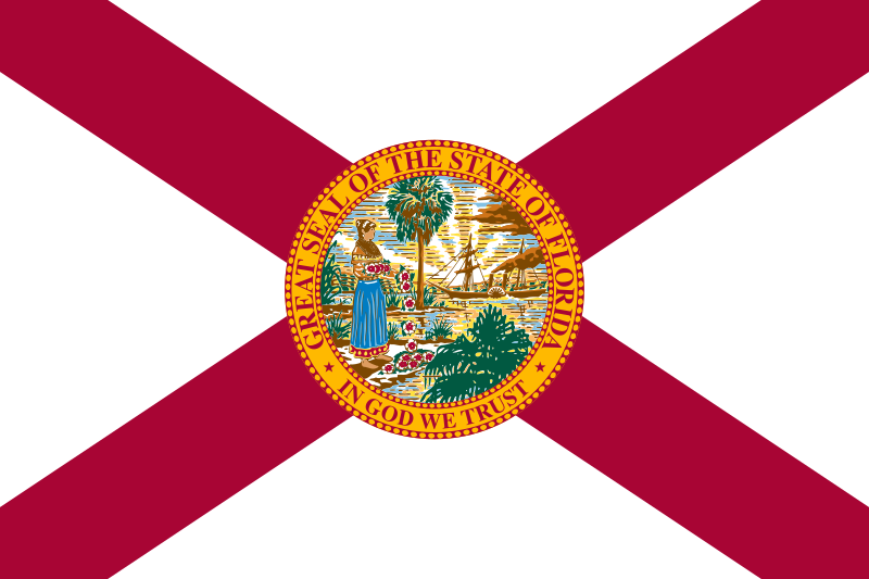 Florida-FL

 Georgia-GA

 Hawaii-HI

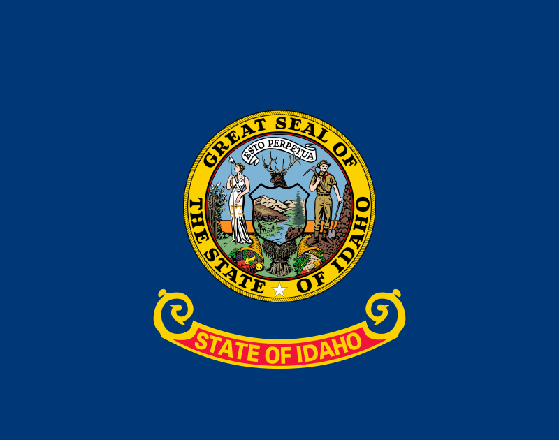 Idaho-ID

 Illinois-IL

 Indiana-IN

 Iowa-IA

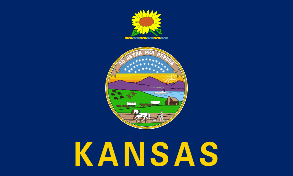 Kansas-KS

 Kentucky-KY

 Louisiana-LA

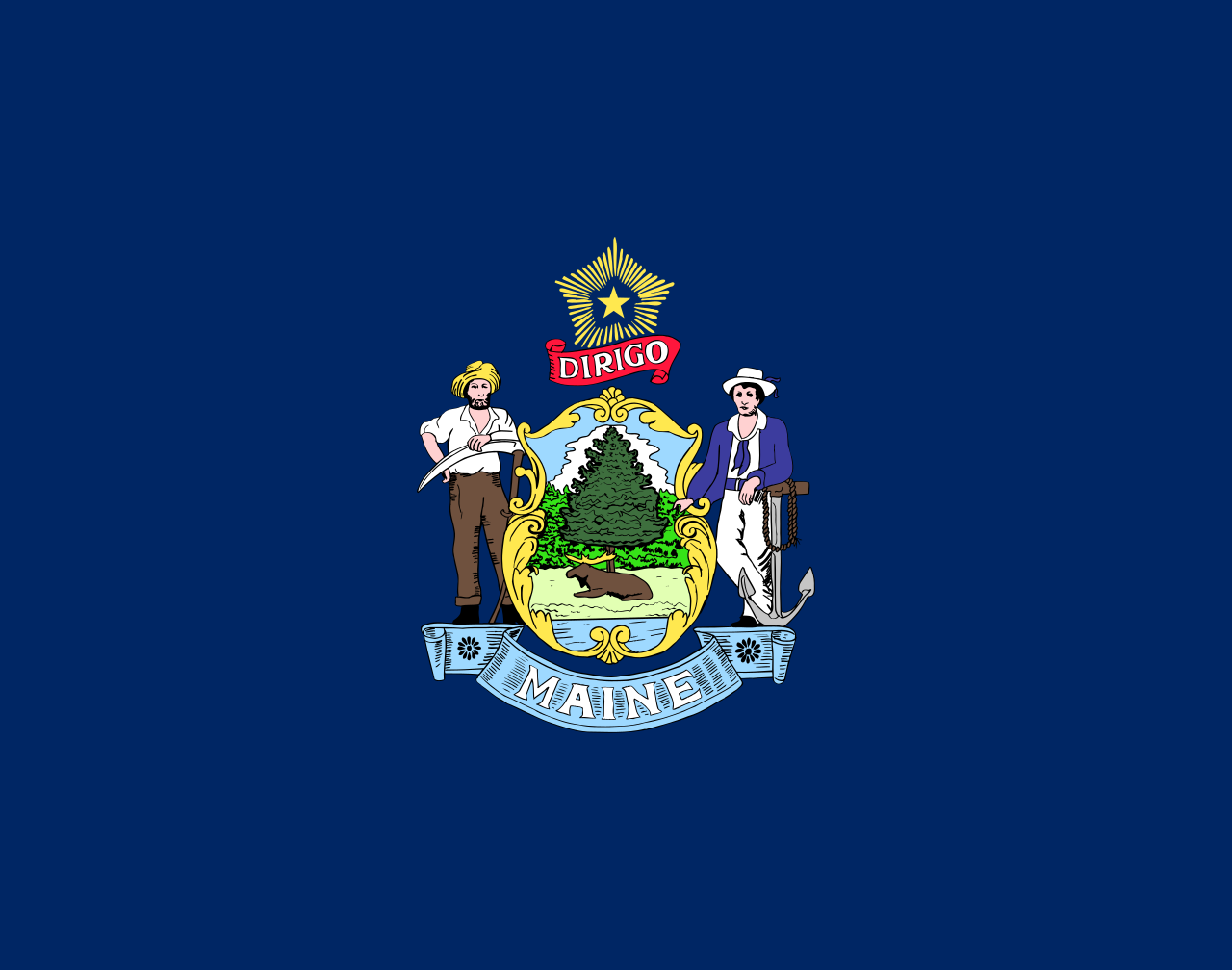 Maine-ME

 Maryland-MD

 Massachusetts-MA

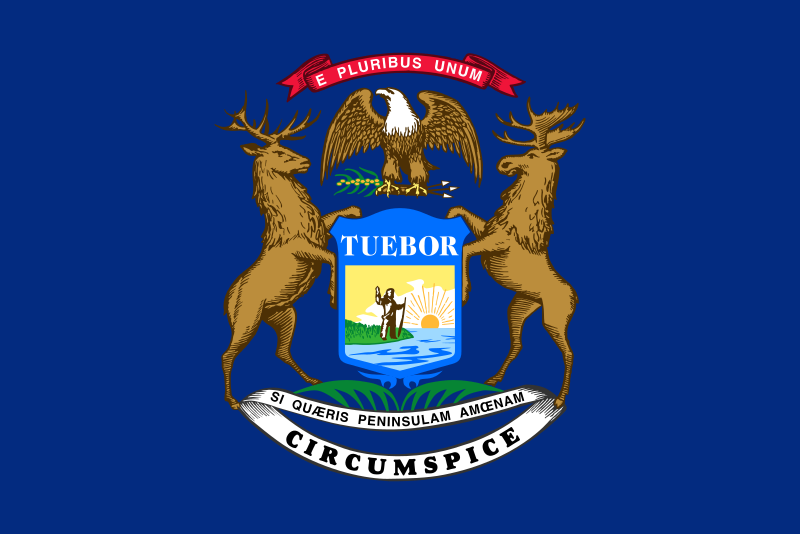 Michigan-MI

 Minnesota-MN

 Mississippi-MS

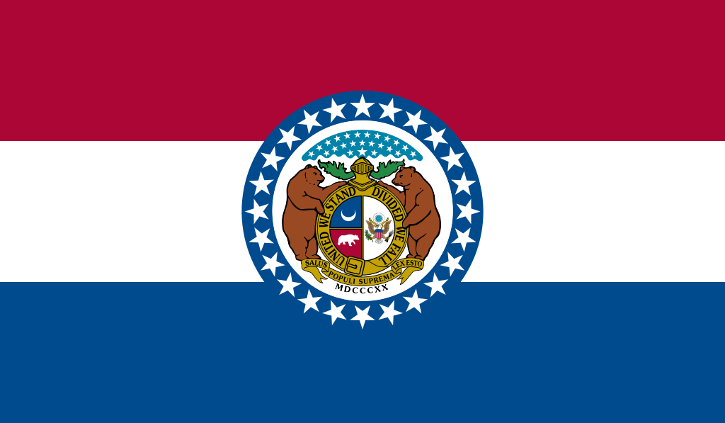 Missouri-MO

 Montana-MT

 Nebraska-NE

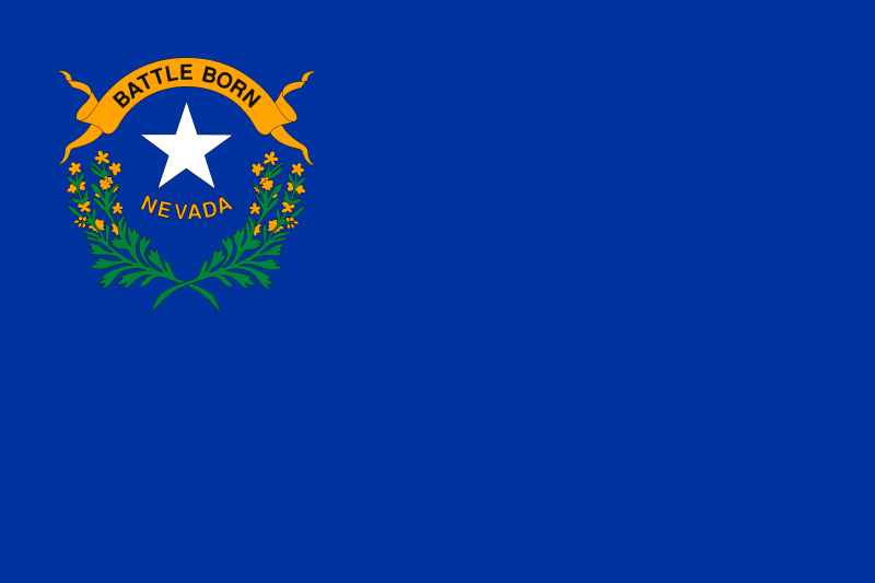 Nevada-NV

 New hampshire-NH

 New jersey-NJ

 New mexico-NM

 New York-NY

 North Carolina-NC

 North Dakota-ND

 Ohio-OH

 Oklahoma-OK

 Oregon-OR

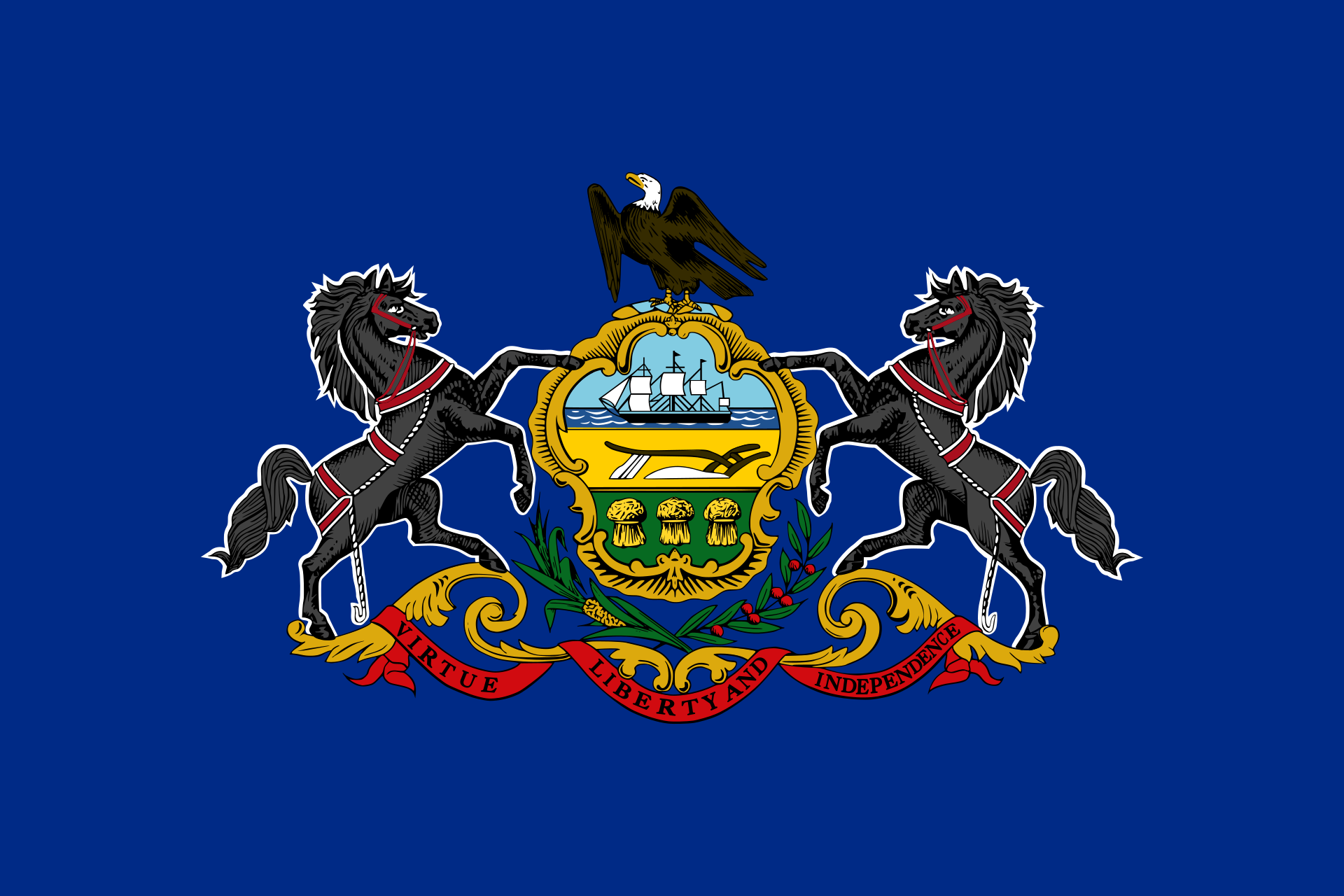 Pennsylvania-PA

 Rhode Island-RI

 South Carolina-SC

 South Dakota-SD

 Tennessee-TN

 Texas-TX

 Universities in the USA

 Utah-UT
 United States

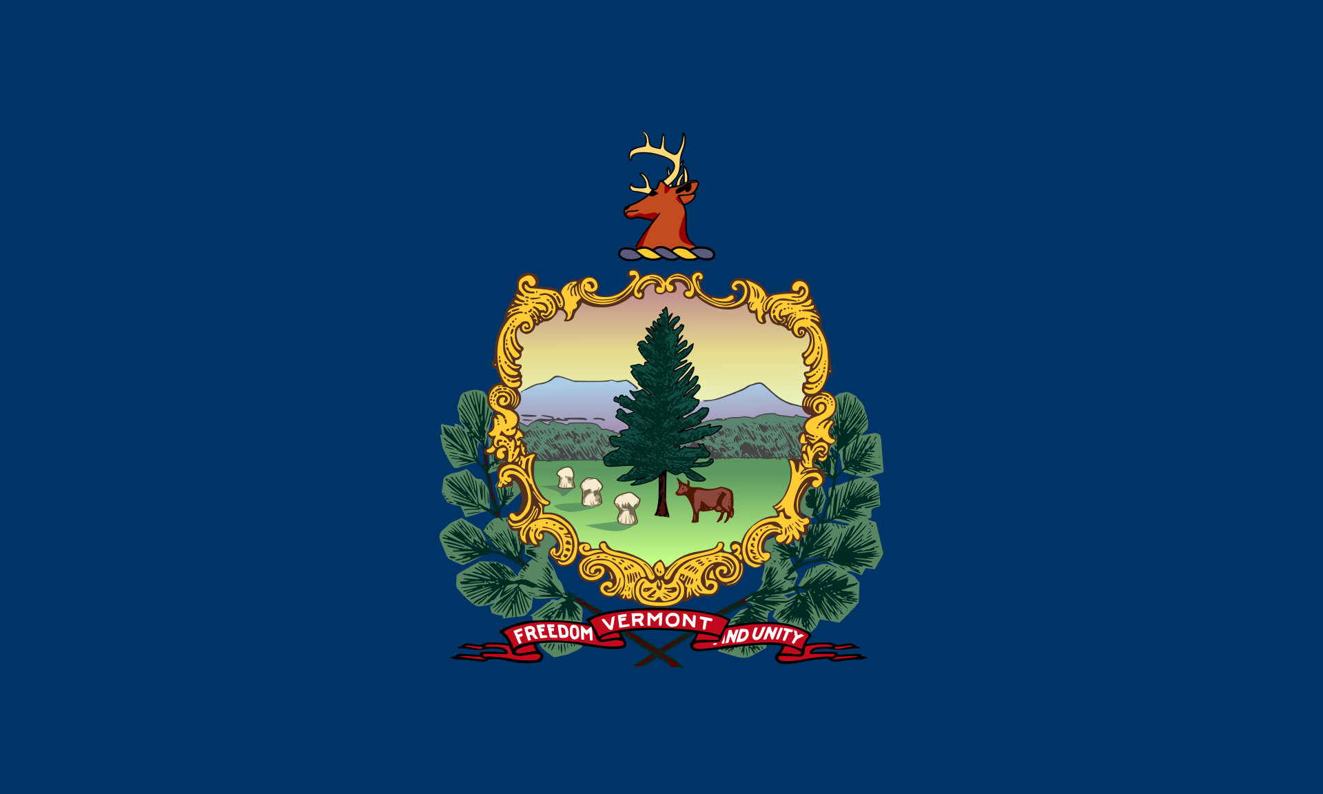 Vermont-VT

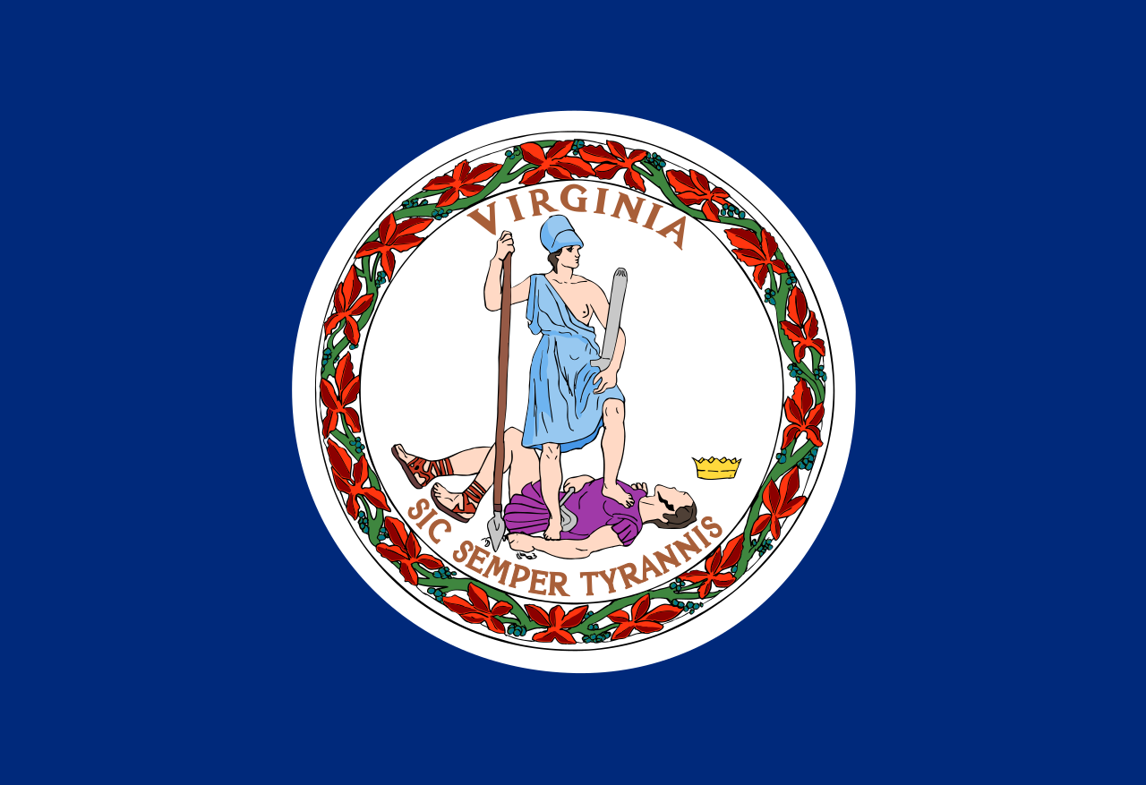 Virginia-VA

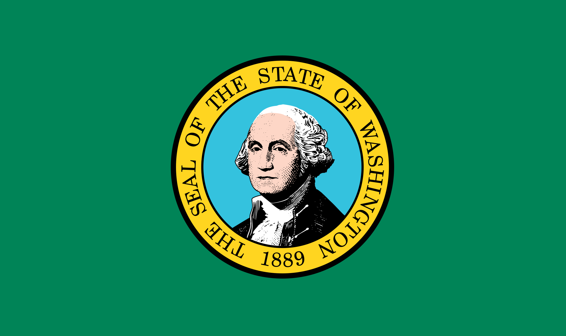 Washington-WA

 Washington, D.C.

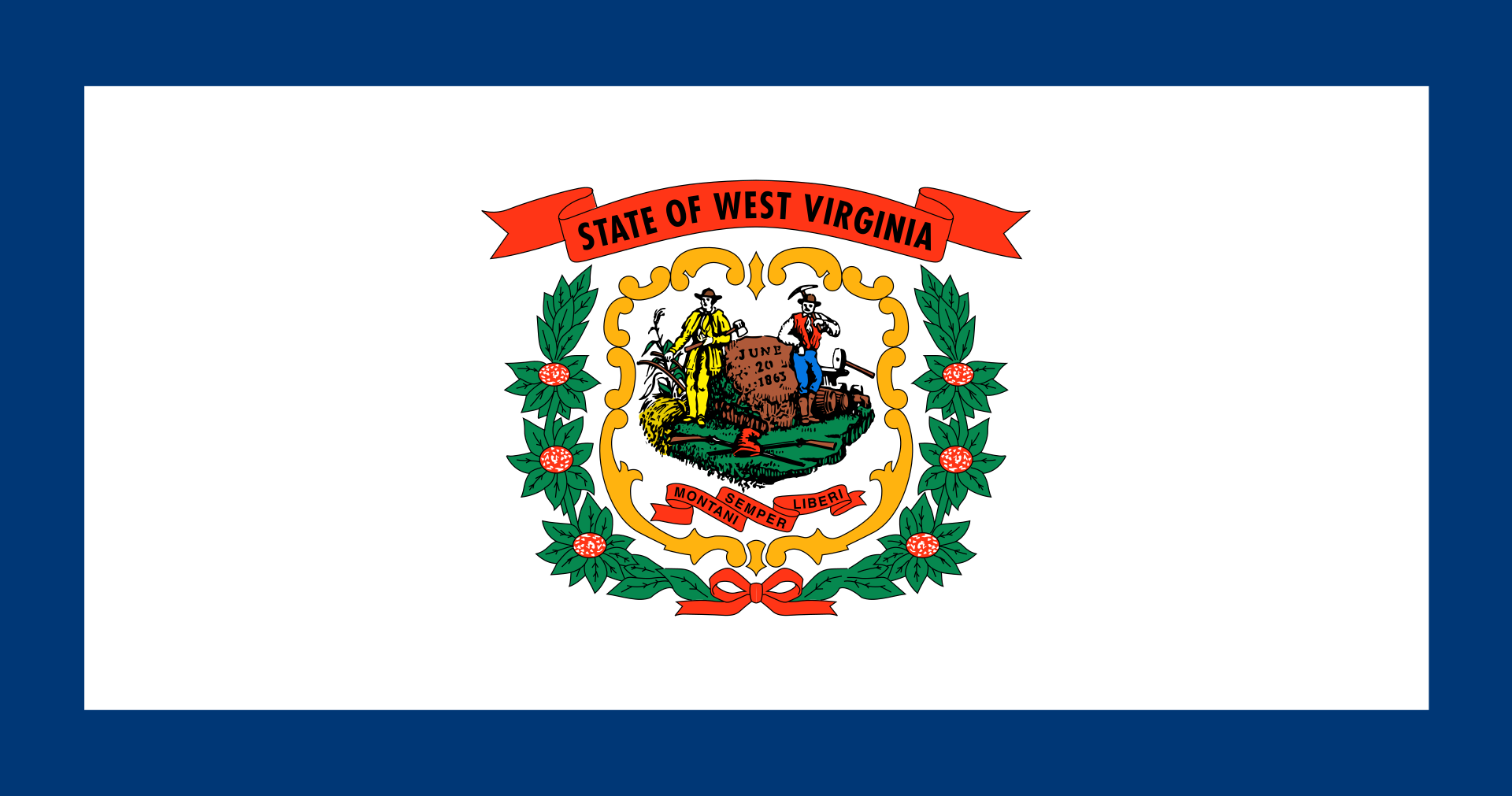 West Virginia-WV

 Wisconsin-WI

 Wyoming-WY


 Geography
 Animal world
 Architecture
 International cities

 Sport
Sport
 Transport and traffic


 Aerospace
 Theme park