
漢德百科全書 | 汉德百科全书
 Ski vacation

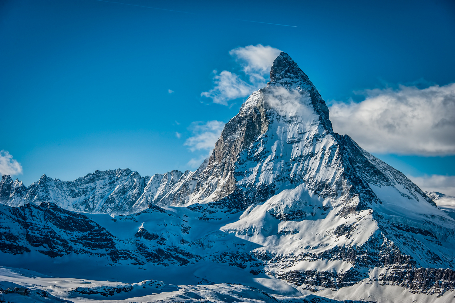
Das Matterhorn (italienisch Monte Cervino oder Cervino, französisch Mont Cervin oder Le Cervin, walliserdeutsch Hore oder Horu) ist mit 4478 m ü. M. einer der höchsten Berge der Alpen. Wegen seiner markanten Gestalt und seiner Besteigungsgeschichte ist das Matterhorn einer der bekanntesten Berge der Welt. Für die Schweiz ist es ein Wahrzeichen und eine der meistfotografierten Touristenattraktionen.
Der Berg steht in den Walliser Alpen zwischen Zermatt und Breuil-Cervinia. Ost-, Nord- und Westwand liegen auf schweizerischem, die Südwand auf italienischem Staatsgebiet.
Wissenswertes über das Matterhorn vermittelt das Matterhorn Museum in Zermatt.
马特洪峰(德语:Matterhorn,德语发音:[ˈmatɐˌhɔrn];意大利语:Cervino,意大利语发音:[tʃerˈviːno];法语:Cervin,法语发音:[sɛʁvɛ̃]),也称切尔维诺峰,是阿尔卑斯山脉中最著名的山峰。马特洪峰的位置在瑞士、意大利边境,附近是瑞士瓦莱州小镇策马特和意大利奥斯塔谷大区的小镇布勒伊-切尔维尼亚(Breuil-Cervinia)。马特洪峰的名称是由德语“Matt”(意为草地)和“Horn”(意为角,或呈锥状像一只角一样的山峰)组成[1]。


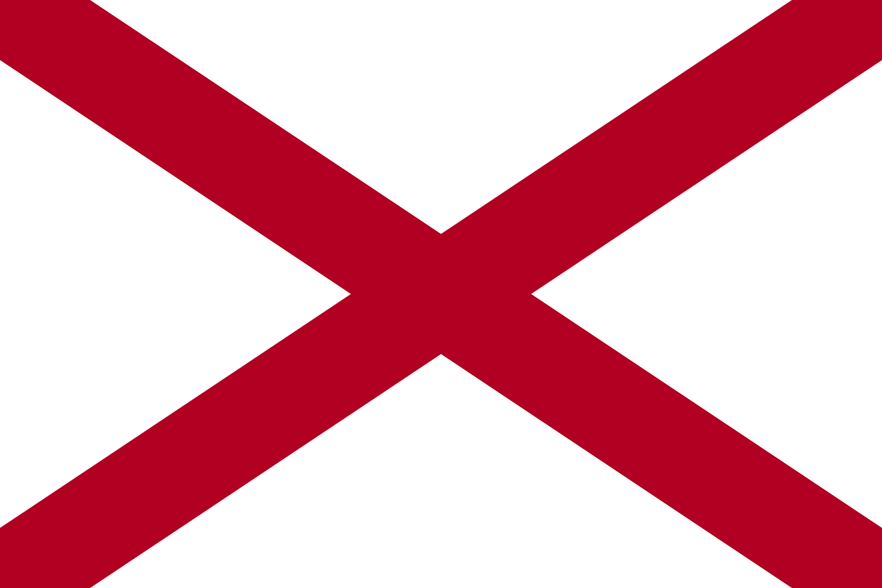 Alabama-AL

 Alaska-AK

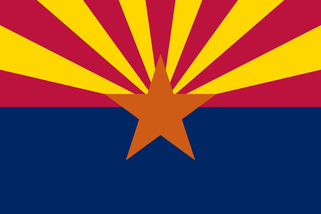 Arizona-AZ

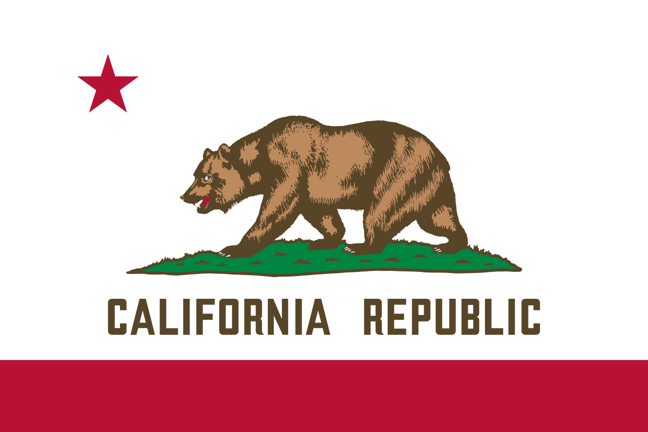 California-CA

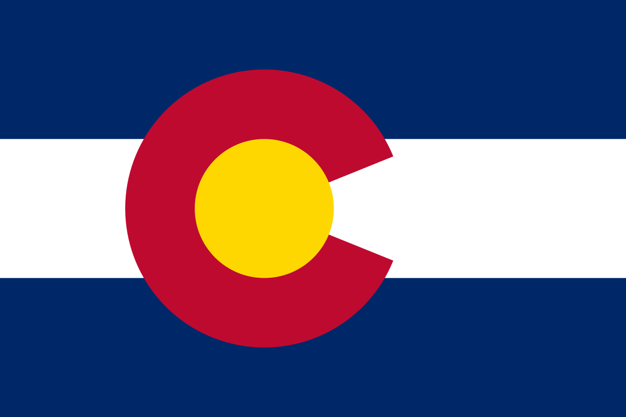 Colorado-CO

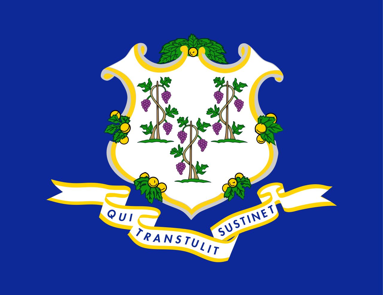 Connecticut-CT

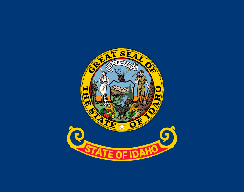 Idaho-ID

 Illinois-IL

 Indiana-IN

 Iowa-IA

 Maine-ME

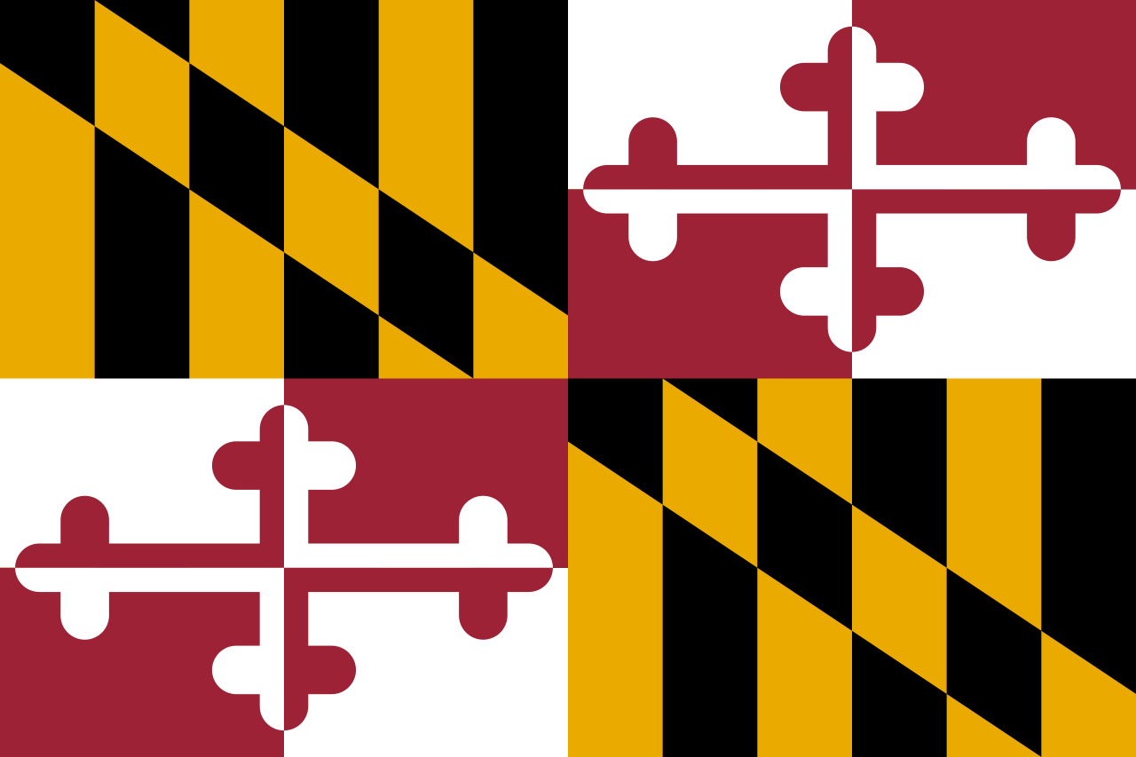 Maryland-MD

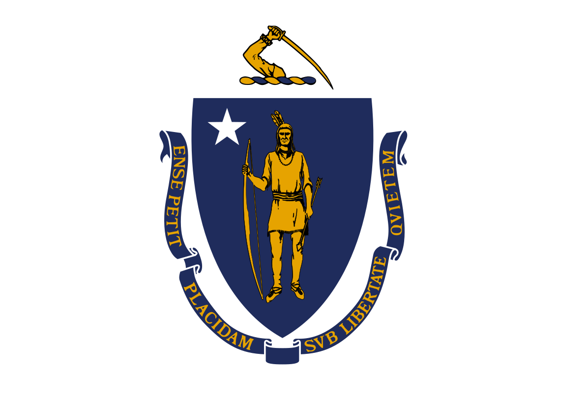 Massachusetts-MA

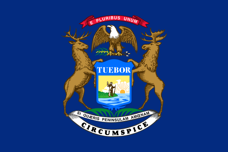 Michigan-MI

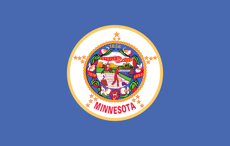 Minnesota-MN

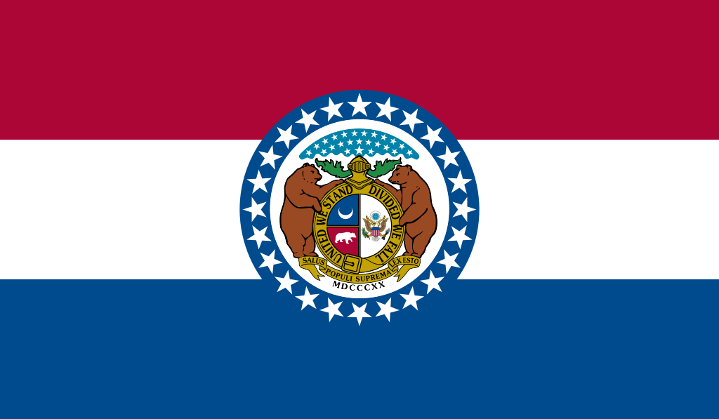 Missouri-MO

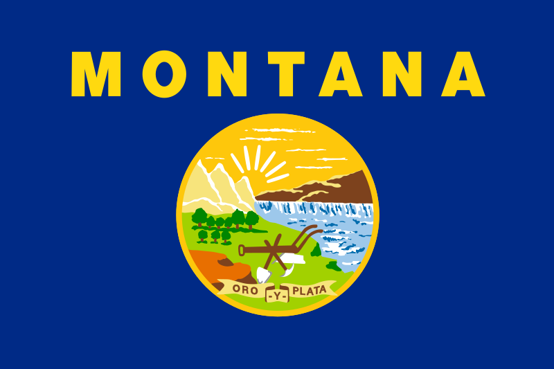 Montana-MT

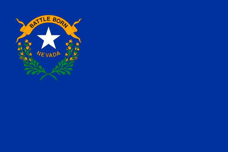 Nevada-NV

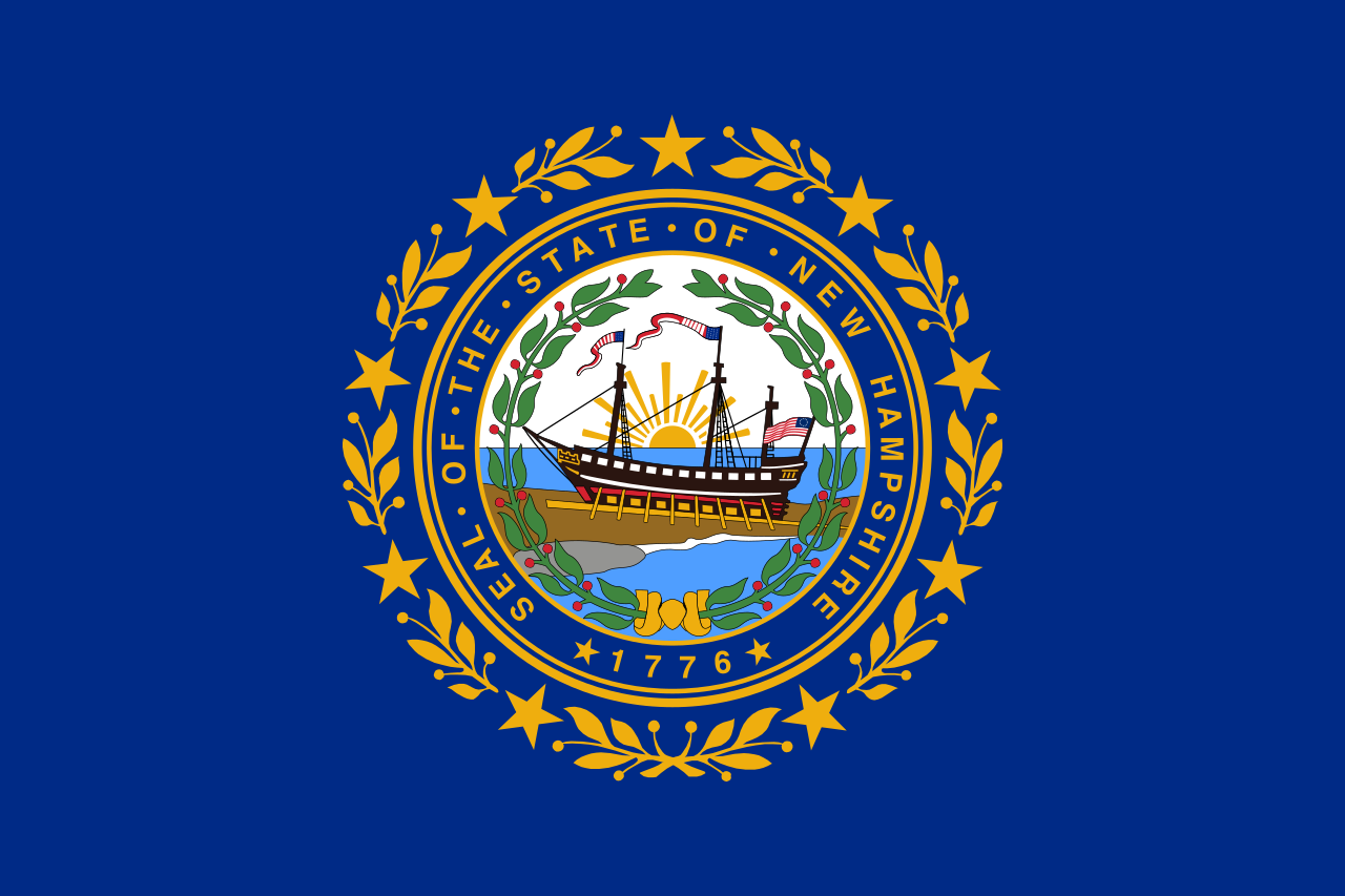 New hampshire-NH

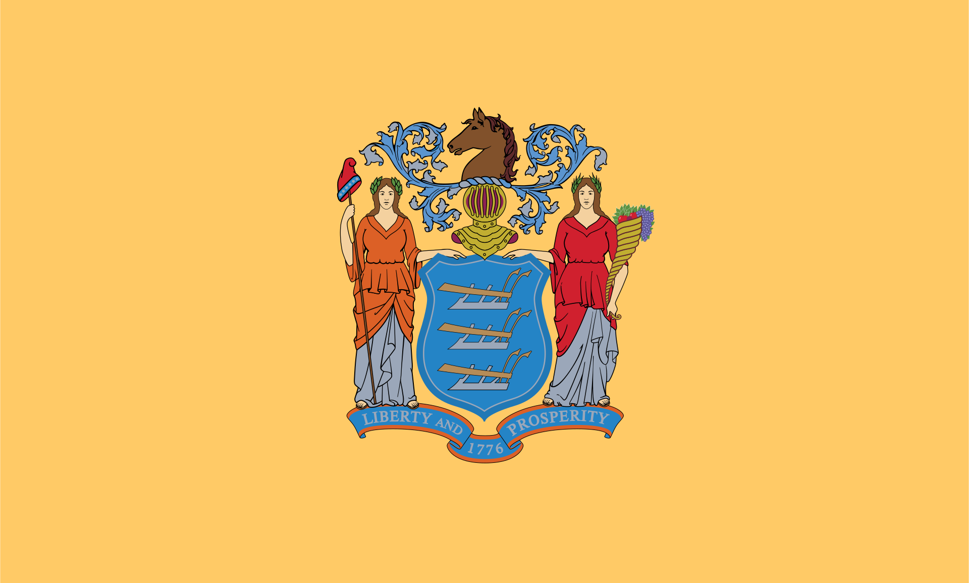 New jersey-NJ

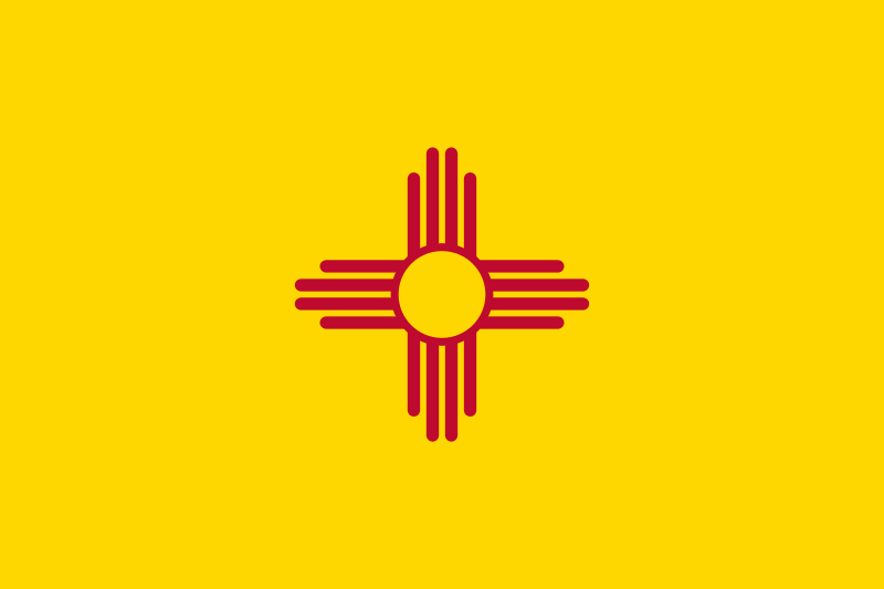 New mexico-NM

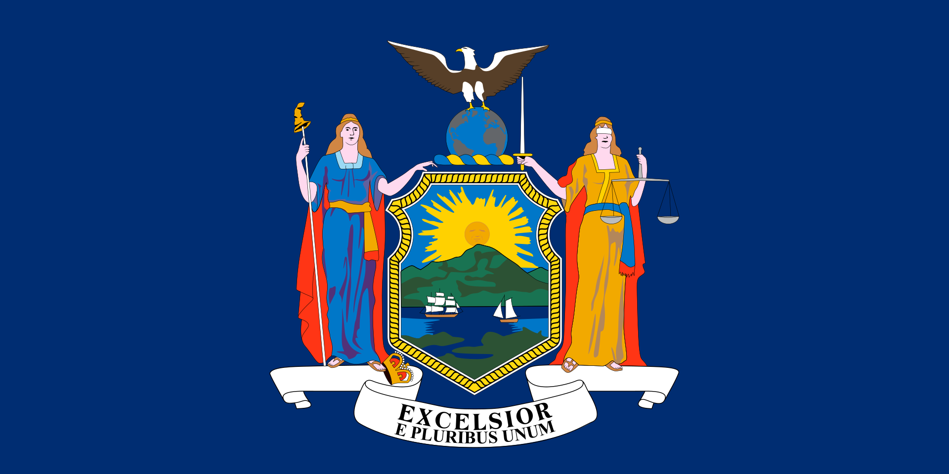 New York-NY

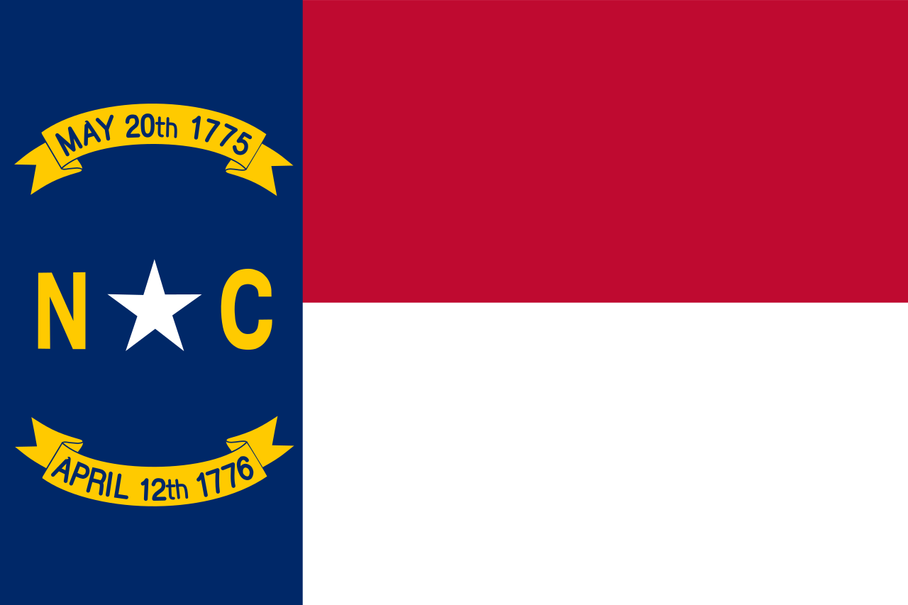 North Carolina-NC

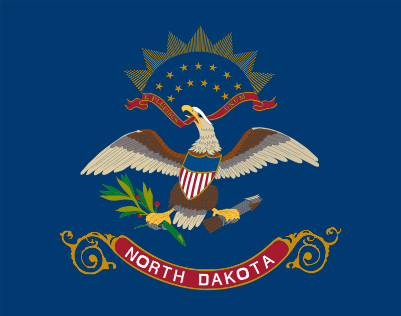 North Dakota-ND

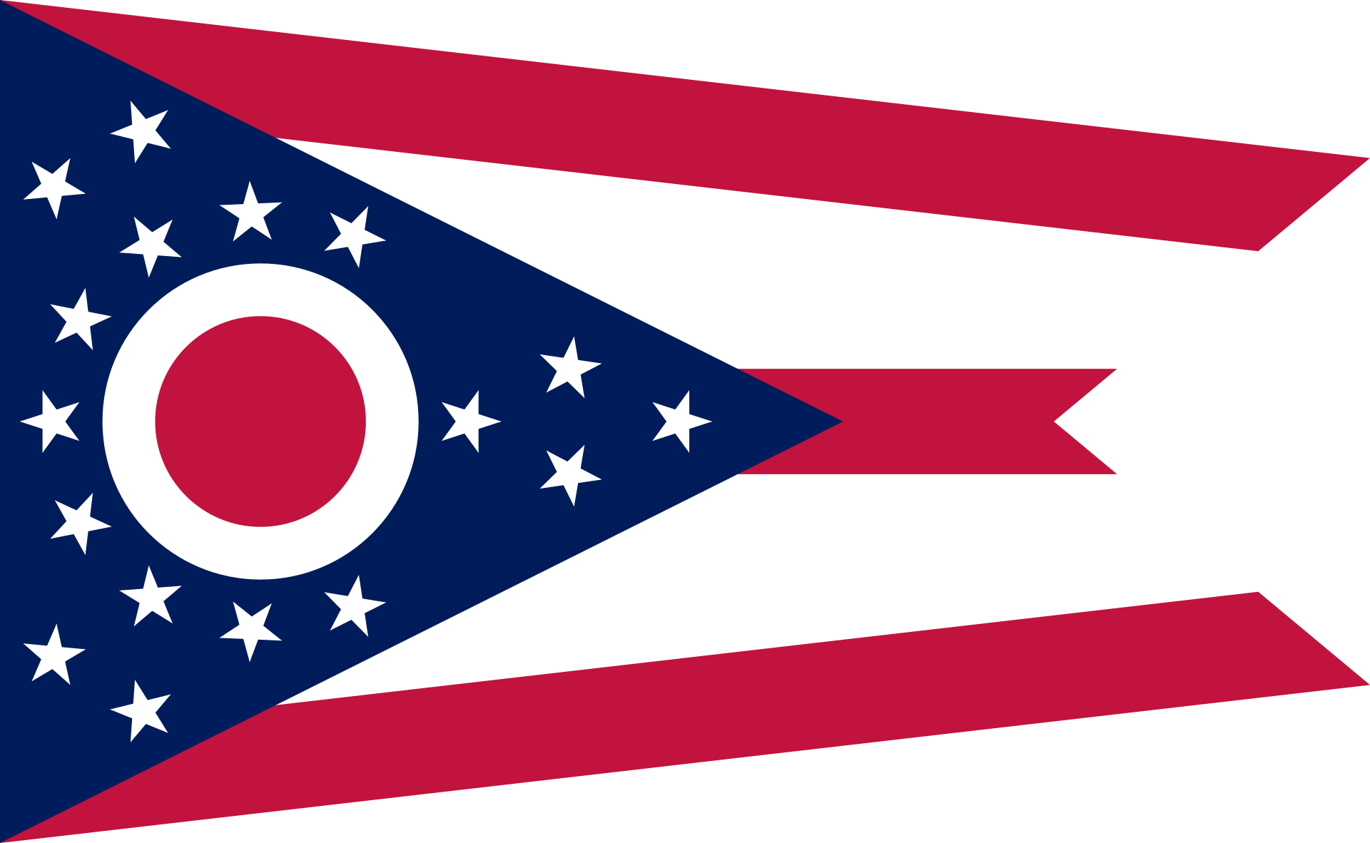 Ohio-OH

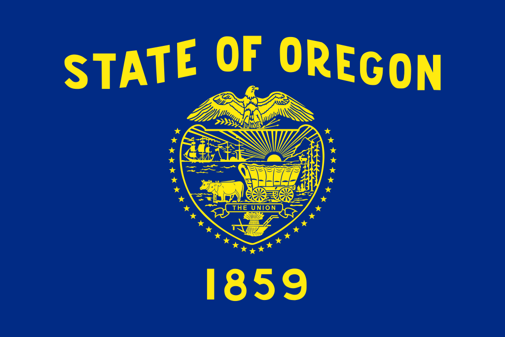 Oregon-OR

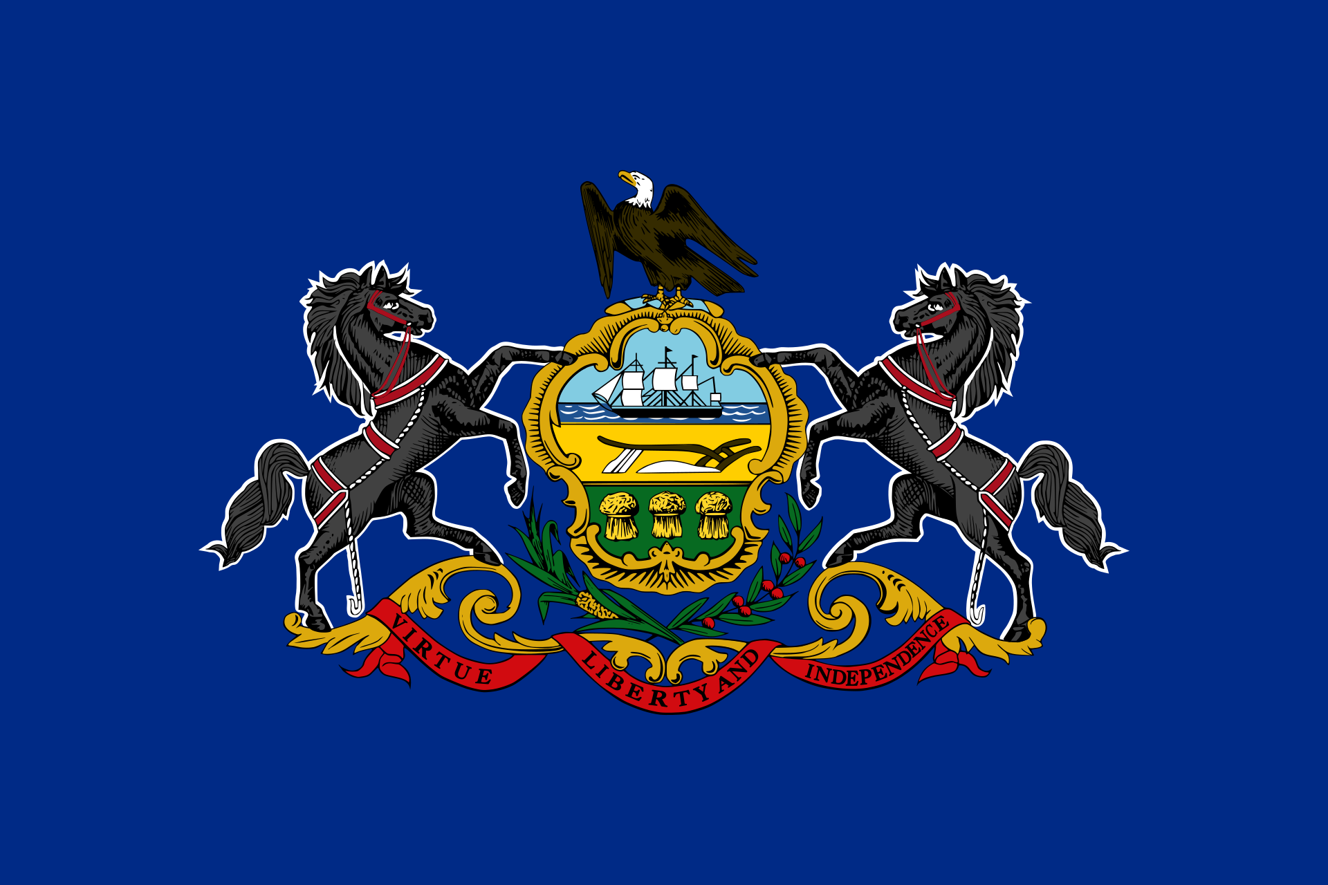 Pennsylvania-PA

 Rhode Island-RI

 South Dakota-SD

 Sport
Sport

 Tennessee-TN

 Texas-TX

 Utah-UT
 United States

 Vermont-VT

 Virginia-VA

 Washington-WA

 West Virginia-WV

 Wisconsin-WI

 Wyoming-WY
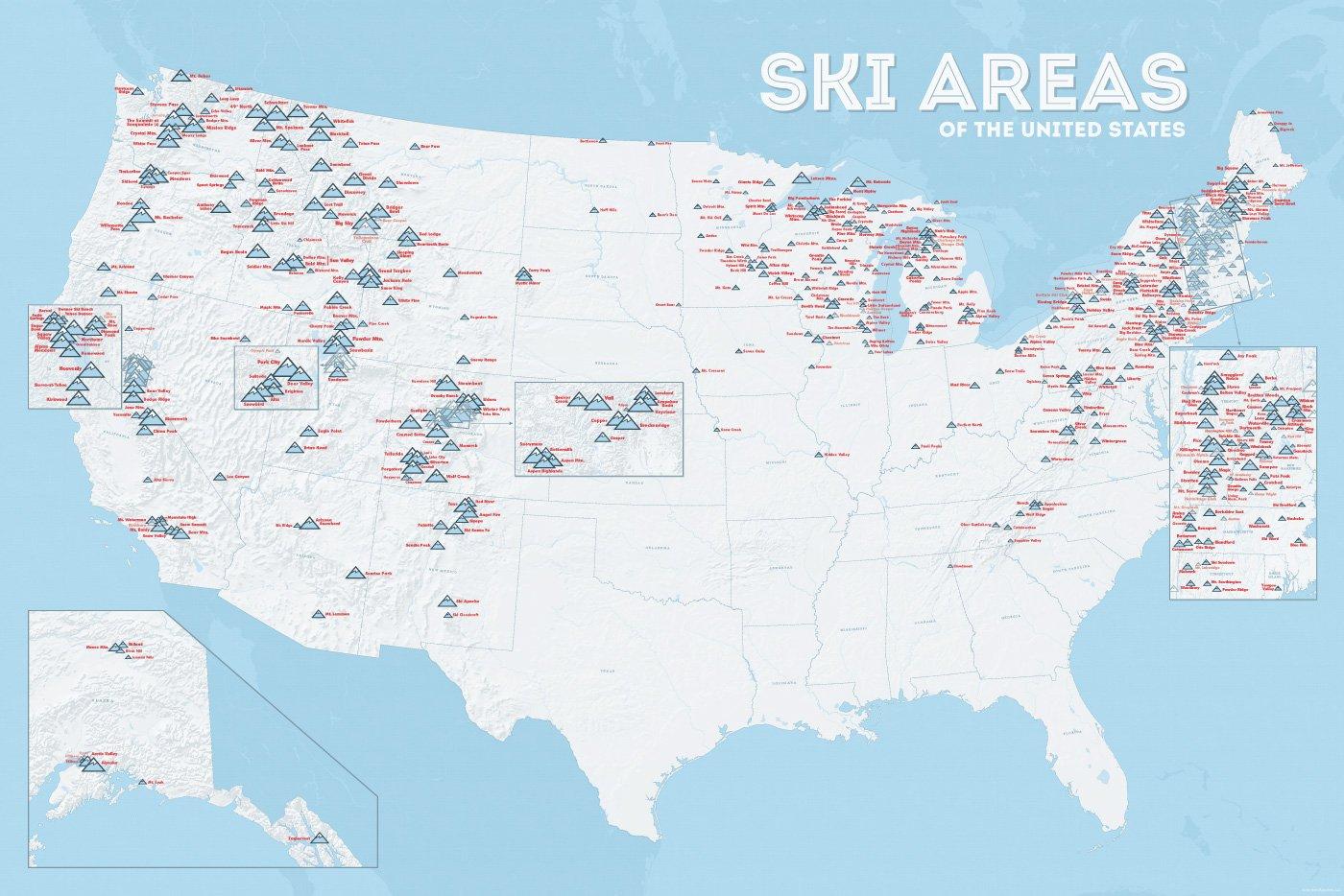
In vielen der 50 Bundesstaaten der USA gibt es Wintersportgebiete, von Maine bis nach Kalifornien. Vor allem drei große Gebirgszüge machen das Skifahren in den Vereinigten Staaten möglich: Zum einen sind dies die Rocky Mountains, die die sogenannten Mountain States durchqueren (Colorado, Nevada, Montana, Wyoming, Idaho und Utah). Die Cascades Range zieht sich von Kanada über Oregon bis hinunter nach Kalifornien. Im Osten der USA befinden sich zudem die Appalachen.
| Name | Orte im Gebiet | Staat | Seehöhe in m |
Liftanlagen1 | Pisten in km |
Weblink | |
| von | bis | ||||||
| Alta Snowbird | Snowbird | Utah | 2365 | 3350 | 1/18/0 | 150 | www.snowbird.com |
| Arapaho Basin | Colorado | 3292 | 3978 | 0/4/0 | 34 | www.arapahoebasin.com | |
| Aspen Highlands | Aspen | Colorado | 2460 | 3536 | 0/5/0 | 58 | www.aspensnowmass.com |
| Aspen Mountain | Aspen | Colorado | 2422 | 3417 | 1/7/0 | 50 | www.aspensnowmass.com |
| Aspen Butermilk | Aspen | Colorado | 2398 | 3013 | 0/5/1 | 34 | www.aspensnowmass.com |
| Aspen Snowmass | Aspen | Colorado | 2473 | 3813 | 2/13/5 | 137 | www.aspensnowmass.com |
| Beaver Creek Resort | Vail/Beaver Creek | Colorado | 2268 | 3478 | 0/15/8 | 152 | www.beavercreek.com |
| Big Sky Resort | Big Sky Village | Montana | 2072 | 3403 | 2/18/2 | 186 | www.bigskyresort.com |
| Breckenridge | Breckenridge | Colorado | 2926 | 3962 | 1/25/25 | 146 | www.snow.com |
| Deer Valley | Deer Valley | Utah | 2003 | 2918 | 1/20/0 | 105 | www.deervalley.com |
| Grand Targhee | Wyoming | 2438 | 3048 | 0/4/0 | 40 | www.grandtarghee.com | |
| Heavenly | Nevada | 1914 | 3039 | 2/17/6 | 89 | www.heavenly.com | |
| Jackson Hole Mountain | Teton Village | Wyoming | 1924 | 3185 | 3/9/0 | 150 | www.jacksonhole.com |
| Keystone | Keystone | Colorado | 2829 | 3782 | 2/16/16 | 116 | www.snow.com |
| Klamath Falls | Oregon | n/a | n/a | n/a | n/a | www.oregon.com | |
| Mammoth Mountain | Kalifornien | 2456 | 3362 | 3/23/4 | 112 | www.mammothmountain.com | |
| Park City Mountain | Park City | Utah | 2103 | 3039 | 0/15/0 | 87 | www.parkcitymountain.com |
| Squaw Valley | Squaw Valley | Kalifornien | 1886 | 2664 | 3/26/3 | 88 | www.squaw.com |
| Steamboat | Steamboat Springs | Colorado | 2097 | 3207 | 1/18/0 | 110 | www.steamboat.com |
| Telluride Skiresort | Telluride | Colorado | 2661 | 3735 | 3/11/0 | 98 | www.tellurideskiresort.com |
| The Canyons | Utah | 2061 | 3038 | 2/12/2 | 106 | www.thecanyons.com | |
| Vail | Vail | Colorado | 2450 | 3527 | 1/23/9 | 215 | www.vail.com |


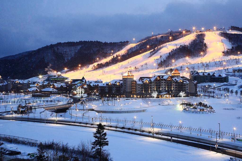


Sarajevo (serbisch-kyrillisch Сарајево; deutsch auch Sarajewo) ist Hauptstadt und Regierungssitz von Bosnien und Herzegowina, der Föderation Bosnien und Herzegowina (Federacija Bosne i Hercegovine/FBiH), des Kantons Sarajevo sowie de jure der Republika Srpska.
Die Stadt hat in ihren vier Gemeinden Stari Grad (Altstadt), Centar (Zentrum), Novi Grad (Neustadt) und Novo Sarajevo (Neu-Sarajevo) 291.422 Einwohner. In der Agglomeration Sarajevo leben etwa 515.000 und in der Metropolregion Sarajevo 608.354 Einwohner (Zensus 2013).[1] Aufgrund der Einwohnerzahl sowie der wirtschaftlichen und politischen Bedeutung ist Sarajevo die einzige bosnische Metropole.[3]
Der Südostteil Sarajevos gehört administrativ zur Stadt Istočno Sarajevo in der Republika Srpska.
萨拉热窝(波斯尼亚语:Sarajevo;克罗地亚语:Sarajevo;塞尔维亚语:Сарајево/Sarajevo;台湾译塞拉耶佛)是波斯尼亚和黑塞哥维那的首都,也是波黑人口最多的城市。据2011年8月估计,波黑萨拉热窝州下属四个自治体,人口合共311,161人。萨拉热窝同时也是萨拉热窝州的首府。
萨拉热窝位于波斯尼亚萨拉热窝山谷之中,米里雅茨河沿岸,被狄那里克阿尔卑斯山脉所包围。萨拉热窝是波黑的社会及文化中心,也拥有区域性的政治、教育、娱乐、媒体、时尚、科学和艺术影响力,还是波黑主要的经济中心[7][8]。
萨拉热窝以其宗教多样性闻名于世,伊斯兰教、东正教、天主教、犹太教数世纪以来都共存其中[9][10]。因其悠久的历史和宗教及文化多样性,萨拉热窝常被称为“欧洲的耶路撒冷”[1] 或者“巴尔干的耶路撒冷”[2]。直到20世纪后期为止,萨拉热窝都是欧洲仅有的清真寺、天主教堂、东正教堂和犹太教堂可以比邻共存的大都市[3]。
虽然萨拉热窝地区在史前时代开始就有人居住,但今日的萨拉热窝是在15世纪奥斯曼帝国统治时期开始发展的[10][11]。萨拉热窝在近代多次成为国际关注的热点。萨拉热窝在1885年成为欧洲首个,也是全世界第二个全天运行路面电车的城市(世界首个有全天运行路面电车的城市是美国的旧金山)[12]。1914年,萨拉热窝发生了奥地利王储暗杀事件(又名萨拉热窝暗杀事件)。这起事件是第一次世界大战的直接导火线。1984年,萨拉热窝是1984年冬季奥林匹克运动会的会场。之后的南斯拉夫解体时期,萨拉热窝在波黑战争期间遭到了持续数年的塞尔维亚人势力的包围,这也是现代战争史上时间最长的围困战[13]。
时至2012年,萨拉热窝仍处在战后的复兴重建中,正在逐渐恢复战前的水准[14]。旅行指南《寂寞星球》在“世界都市”排行榜中将萨拉热窝排在第43位。这个名次要高过同样是前南斯拉夫诸国各个观光都市,包括第59位的杜布罗夫尼克、第84位的第卢布尔雅那、第90位的布莱德、第113位的贝尔格莱德以及第135位的萨格勒布[15][16],在2009年12月,萨拉热窝还被列入2010年最值得去旅行的十大都市之一[17]。2012年3月,萨拉热窝战胜了全世界其他100多个都市,被旅行博客Foxnomad评为“最佳旅游都市”[18]。2011年,萨拉热窝获得2014年欧洲文化之都的提名,是唯一获得提名的欧盟以外的都市[19][20]。
サラエヴォ[3][4][5](ボスニア語:Sarajevo [sǎrajeʋo]、クロアチア語:Sarajevo、セルビア語:Сарајево)は、ボスニア・ヘルツェゴビナの首都であり、同国で最大の人口をもつ都市である。ボスニア・ヘルツェゴビナの構成体のひとつであるボスニア・ヘルツェゴビナ連邦の首都でもある。
日本語表記においては、一般に「サラエボ」[6]や「サライェヴォ」[7]などの表記も多く見られる(以下、本項では「サラエヴォ」とする。呼称と表記も参照)。
2011年8月の推計では、ボスニア・ヘルツェゴビナのサラエヴォ県に属する4つの自治体の人口は併せて311,161人である。サラエヴォはまた、サラエヴォ県の県都でもある。サラエヴォはボスニア地方のサラエヴォ渓谷のなかにあり、ディナール・アルプスに取り囲まれ、ミリャツカ川周辺に広がっている。サラエヴォの町は宗教的な多様性で知られており、イスラム教、正教会、カトリック教会、ユダヤ教が何世紀にもわたって共存してきた[8]。旅行ガイドブックのロンリープラネットでは、「世界の都市」ランキングにおいてサラエヴォを43位にランクしている。これは、同じ旧ユーゴスラビア諸国の観光都市であるドゥブロヴニクの59位、リュブリャナの84位、ブレッドの90位、ベオグラードの113位、ザグレブの135位を上回る[9]。
サラエヴォに隣接して、ボスニア・ヘルツェゴビナの構成体のひとつであるスルプスカ共和国の首都であるイストチノ・サラエヴォ(東サラエヴォ)がある。現在のイストチノ・サラエヴォの市域には、ボスニア・ヘルツェゴビナ紛争前のサラエヴォの市域の一部が含まれている。
この地域に人が居住を始めたのは先史時代にまでさかのぼるものの、現代のサラエヴォにつながる町ができたのは15世紀のオスマン帝国の統治下でのことであった[10]。オーストリア=ハンガリー帝国に併合されたのちもボスニアの州都と位置付けられたサラエヴォは、近代以降の何度かにわたって国際的な注目を受けることになった。1914年にはこの地はオーストリア帝位継承者の暗殺事件の現場となり、この事件によって第一次世界大戦が引き起こされた。1984年にはサラエヴォは1984年冬季オリンピックの会場となり、さらに後のユーゴスラビア崩壊のときには、ボスニア・ヘルツェゴビナ紛争において数年間にわたるセルビア人勢力による包囲を受けた。現在のサラエヴォは紛争後の復興開発が進み、21世紀初頭において紛争前の水準を回復しつつある。サラエヴォは、ボスニア・ヘルツェゴビナの経済・文化活動の拠点となっている[11]。サラエヴォはヨーロッパで初めて、そして全世界で2番目に早く終日(朝から夜まで)運行の路面電車が運行された町である[* 1]。
Sarajevo (Cyrillic: Сарајево, pronounced [sǎrajeʋo]; see names in other languages) is the capital[5] and largest city of Bosnia and Herzegovina, with a population of 275,524 in its current administrative limits.[4][6] The Sarajevo metropolitan area, including Sarajevo Canton, East Sarajevo and nearby municipalities is home to 555,210 inhabitants.a[7] Nestled within the greater Sarajevo valley of Bosnia, it is surrounded by the Dinaric Alps and situated along the Miljacka River in the heart of the Balkans.
Sarajevo is the political, social and cultural center of Bosnia and Herzegovina, a prominent center of culture in the Balkans, with its region-wide influence in entertainment, media, fashion, and the arts.[8][9]
Due to its long and rich history of religious and cultural diversity, Sarajevo is sometimes called the "Jerusalem of Europe"[1] or "Jerusalem of the Balkans".[2] It is one of only a few major European cities which have a mosque, Catholic church, Orthodox church and synagogue within the same neighborhood.[10] A regional center in education, the city is also home to the Balkans first institution of tertiary education in the form of an Islamic polytechnic called the Saraybosna Osmanlı Medrese, today part of the University of Sarajevo.[11][12]
Although settlement in the area stretches back to prehistoric times, the modern city arose as an Ottoman stronghold in the 15th century.[13] Sarajevo has attracted international attention several times throughout its history. In 1885, Sarajevo was the first city in Europe and the second city in the world to have a full-time electric tram network running through the city, following San Francisco.[14] In 1914, it was the site of the assassination of Archduke Franz Ferdinand of Austria by local Young Bosnia activist Gavrilo Princip that sparked World War I, which also ended Austro-Hungarian rule in Bosnia and resulted in the creation of the Kingdom of Yugoslavia. Later, after World War II, the establishment of the Socialist Republic of Bosnia and Herzegovina within the Second Yugoslavia led to a massive expansion of Sarajevo, the constituent republic's capital, which culminated with the hosting of the 1984 Winter Olympics marking a prosperous era for the city. However, after the start of the Yugoslav Wars, for 1,425 days, from April 1992 to February 1996, the city suffered the longest siege of a capital city in the history of modern warfare, during the Bosnian War and the breakup of Yugoslavia.[15]
Sarajevo has been undergoing post-war reconstruction, and is the fastest growing city in Bosnia and Herzegovina.[16] The travel guide series Lonely Planet has named Sarajevo as the 43rd best city in the world,[17] and in December 2009 listed Sarajevo as one of the top ten cities to visit in 2010.[18] In 2011, Sarajevo was nominated to be the European Capital of Culture in 2014 and will be hosting the European Youth Olympic Festival in 2019.[19][20]
Sarajevo (en bosnien cyrillique, Сарајево ; anciennement Bosna-Seraï ; en turc, Saraybosna), prononcé [saʁajɛvo], est la capitale et la plus grande ville de Bosnie-Herzégovine. Avant la guerre de Bosnie-Herzégovine, le dernier recensement de 1991 évaluait la population à 429 672 habitants. En 2013, selon le site officiel de Sarajevo, la population de la ville proprement dite est estimée à 395 133 habitants1.
La ville est considérée comme l'une des plus importantes villes des Balkans et son histoire est particulièrement riche depuis sa création par les Ottomans en 1461. La ville a été le théâtre de l'assassinat par Gavrilo Princip de l'archiduc François-Ferdinand d'Autriche, qui marqua le début de la Première Guerre mondiale. Plus récemment, elle accueillit les Jeux olympiques d'hiver de 1984 et fut assiégée durant la guerre de Bosnie-Herzégovine dans les années 1990. Dans la ville, la guerre a laissé de nombreuses traces visibles sur toutes les façades d'immeuble qui portent des traces d'impacts et de réparations de fortune. Les marques des obus dans les chaussées, sont quant à elles précieusement conservées. Le siège reste lui aussi omniprésent dans les conversations. Entre 1992 et 1996, la capitale de Bosnie-Herzégovine a subi un siège de plus de mille jours qui a fait plus de 11 000 morts. Traversée par la rivière Miljacka, la ville fait partie du canton de Sarajevo, l'un des dix que compte la Fédération de Bosnie-et-Herzégovine.
Sarajevo (in alfabeto cirillico serbo Сарајево; in giudesmo Saraj; in turco Saraybosna), in italiano Saraievo (AFI: /saraˈjɛːvo/) o raramente Seraievo[1], è la capitale e la più grande città della Bosnia ed Erzegovina.
Il toponimo è la forma slavizzata della parola turca saray, che significa "palazzo"[2], ma il suo nome originario era Vrhbosna.
La sua popolazione si aggira attorno ai 275.524 abitanti (al 2013). Nel 1914 vi ebbe luogo l'attentato all'arciduca austriaco Francesco Ferdinando che innescò la prima guerra mondiale.
Nel 1984 la città ospitò i XIV Giochi olimpici invernali. Tra il 1992 e il 1995, durante la guerra di Bosnia, soffrì più di tre anni d'assedio da parte delle forze serbo-bosniache.
Sarajevo (en cirílico: Сарајево; /sǎrajɛʋɔ/) es la capital y ciudad más poblada de Bosnia y Herzegovina, con una población de 395.133 habitantes en las cuatro municipalidades que forman la ciudad, y con un área metropolitana de 688,437 habitantes en el Cantón de Sarajevo.12 Es también la capital de la Federación de Bosnia y Herzegovina, así como el centro del Cantón de Sarajevo. Contigua a ella (y agrupando barrios que antes de la guerra también formaban parte de Sarajevo) se encuentra Sarajevo Oriental que es la ciudad capital de jure de la República Srpska.
Sarajevo está emplazada en el valle de Sarajevo en la región de Bosnia, rodeada de los Alpes Dináricos y en torno al río Miljacka. El centro de la ciudad se encuentra a 511 metros sobre el nivel del mar mientras que algunos barrios alcanzan los 700 metros, lo que hace de Sarajevo una de las ciudades a más altura en Europa. Los picos montañosos que rodean Sarajevo alcanzan y sobrepasan los 2.000 metros sobre el nivel del mar.
La ciudad es conocida por su tradicional diversidad religiosa, con fieles musulmanes, ortodoxos, católicos y judíos, que llevan conviviendo desde hace siglos. Debido a esta larga y rica historia de diversidad religiosa y coexistencia, Sarajevo es conocida como la "Jerusalén de Europa".3
Aunque los primeros asentamientos en la zona datan de los tiempos prehistóricos, la moderna ciudad de Sarajevo fue edificada como fortaleza para el Imperio otomano en el siglo XV.4 Sarajevo ha atraído la atención internacional en varias ocasiones a lo largo de su historia: en 1914 tuvo lugar el asesinato del Archiduque Francisco Fernando de Austria, que acabó siendo el detonante definitivo para el estallido de la Primera Guerra Mundial. Setenta años después, la ciudad organizó los Juegos Olímpicos de invierno de 1984. A comienzos de la década de 1990, Sarajevo sufrió el mayor asedio en la historia de la guerra moderna durante la Guerra de Bosnia. Hoy en día, la ciudad se está recuperando y adaptando a la realidad de la posguerra, y es el centro cultural y económico del país.5 Sarajevo se convirtió en una de las primeras ciudades europeas en contar con una red de tranvía eléctrico con servicio ininterrumpido en la ciudad.6
Сара́ево (босн. Sarajevo, хорв. Sarajevo, серб. Сарајево [sǎrajeʋo], тур. Saraybosna) — город, столица Боснии и Герцеговины. Административный центр Сараевского кантона. Образует муниципальное образование «город Сараево», разделённое на четыре самоуправляемых района.
Население — 275,5 тысячи человек (2013), или 8 % населения Боснии и Герцеговины. Национальный состав (среди указавших, 2013): босняков — 81 %, хорватов — 5 %, сербов — 4 %. Доля сербов, проживающих в городе, в результате войны 1992—1995 годов многократно сократилась.
Расположено в межгорной котловине на берегах реки Миляцки, на территории Федерации Боснии и Герцеговины. С южной стороны к Сараеву непосредственно примыкает его бывшая часть — ныне город Источно-Сараево, расположенный на территории Республики Сербской.
Главный политический, экономический и культурный центр Федерации Боснии и Герцеговины. Производит 31 % ВВП Федерации (2012). Исторический центр состоит из построек периода Османской и Австро-Венгерской империй XVI — начала XX веков.
Поселение, впоследствии получившее название Босна-Сарай (от тур. saray — «дворец»), основано турками около 1462 года. С 1639 года с перерывами — административный центр Боснийского эялета, с 1878 года — главный город австро-венгерской Боснии и Герцеговины. С 1918 года — в Королевстве сербов, хорватов и словенцев. С 1945 года — столица республики Босния и Герцеговина.
 Geography

 Valle d´Aosta
 Trentino-Alto Adige
 Auvergne-Rhône-Alpes
 Vacation and Travel
 Tyrol
Tyrol
 International cities