漢德百科全書 | 汉德百科全书
 Alabama-AL


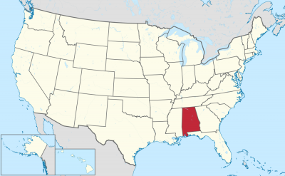

亚拉巴马州(英语:Alabama,![]() i/ˌæləˈbæmə/),也译作阿拉巴马州,是美国东南部地区一个联邦州。北接田纳西州,东邻佐治亚州,南至佛罗里达州和墨西哥湾,西临密西西比州。亚拉巴马州是各州当中面积第30大以及人口第24大的州。亚拉巴马州的内陆水道全长1500英哩,是所有州份当中最长的[8]。
i/ˌæləˈbæmə/),也译作阿拉巴马州,是美国东南部地区一个联邦州。北接田纳西州,东邻佐治亚州,南至佛罗里达州和墨西哥湾,西临密西西比州。亚拉巴马州是各州当中面积第30大以及人口第24大的州。亚拉巴马州的内陆水道全长1500英哩,是所有州份当中最长的[8]。
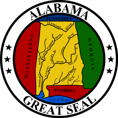
亚拉巴马州誉为“金色啄木鸟之州”,其名来自州鸟。同时亚拉巴马州亦以“迪克西的心脏”和“棉花之州”为人所知。州树是长叶松,而州花是山茶花。亚拉巴马州的州府位于蒙哥马利,按人口计算最大城市是伯明翰[9],该城长期都是州内最工业化的城市;按面积计算最大城市是亨茨维尔。最老的城市是莫比尔,1702年由法国殖民者建立,作为法属路易斯安那的首府[10]。
自南北战争起至第二次世界大战为止,亚拉巴马州与其他美国南部州份一样遭遇经济困难,其中一个原因是长期依赖农产品。与其他南部州份一样,亚拉巴马州议员在进入二十世纪时剥夺了非裔美国人以及许多贫穷的白人的选举权。虽然工业和都市中心快速发展,白人自1901年起到1960年代一直垄断郊区利益,市区利益和非裔美国人的代表性严重不足。第二次世界大战后,亚拉巴马州将经济由主产农业变得多元化。21世纪的州经济是基于管理、汽车、金融、制造业、航天、提炼矿产、医疗、教育、零售以及科技[11]。
アラバマ州(英語: State of Alabama)は、アメリカ合衆国南部に位置する州である。人口は4,779,736人(2010年度)である。州都はモンゴメリー市。他に都市圏では州内最大のバーミングハム[1]、州内唯一の港湾都市モービル、アメリカ航空宇宙局関連施設が集中するハンツビルなどの主要都市がある。北はテネシー州、東はジョージア州、南はフロリダ州とメキシコ湾、西はミシシッピ州と接している。アメリカ合衆国50州の中で、陸地面積では第30位、人口では第23位である。内陸まで航行できる水路総延長が1,300マイル (2,100 km) あることでは、国内でも最長クラスにある。
南北戦争から第二次世界大戦まで、他の南部州と同様に農業への依存が続いていたこともあって、アラバマ州は経済的に困難な時代を味わった。工業や都市部が成長したにも拘わらず、1960年代までは田園部の白人の利権が州議会を支配しており、都市部とアフリカ系アメリカ人の権利は優先されなかった[2]。第二次世界大戦後、アラバマ州は農業依存経済から多様化された経済に移行して成長してきた。多くのアメリカ軍基地が設立または拡張されたことも経済発展に寄与し、20世紀半ばに農業と工業経済の橋渡し役となった。21世紀の州経済は経営管理、金融、製造、航空宇宙、鉱業、医療、教育、小売りおよび技術に依存している[3]。
Alabama (/ˌæləˈbæmə/) is a state in the southeastern region of the United States. It is bordered by Tennessee to the north, Georgia to the east, Florida and the Gulf of Mexico to the south, and Mississippi to the west. Alabama is the 30th largest by area and the 24th-most populous of the U.S. states. With a total of 1,500 miles (2,400 km) of inland waterways, Alabama has among the most of any state.[7]
Alabama is nicknamed the Yellowhammer State, after the state bird. Alabama is also known as the "Heart of Dixie" and the "Cotton State". The state tree is the longleaf pine, and the state flower is the camellia. Alabama's capital is Montgomery. The largest city by population is Birmingham,[8] which has long been the most industrialized city; the largest city by land area is Huntsville. The oldest city is Mobile, founded by French colonists in 1702 as the capital of French Louisiana.[9] Greater Birmingham is Alabama's largest urban economy, its most populous urban area, and its economic center.[10]
From the American Civil War until World War II, Alabama, like many states in the southern U.S., suffered economic hardship, in part because of its continued dependence on agriculture. Similar to other former slave states, Alabamian legislators employed Jim Crow laws to disenfranchise and otherwise discriminate against African Americans from the end of the Reconstruction Era up until at least the 1970s. Despite the growth of major industries and urban centers, white rural interests dominated the state legislature from 1901 to the 1960s. During this time, urban interests and African Americans were markedly under-represented. Following World War II, Alabama grew as the state's economy changed from one primarily based on agriculture to one with diversified interests. The state's economy in the 21st century is based on management, automotive, finance, manufacturing, aerospace, mineral extraction, healthcare, education, retail, and technology.[11]
L'Alabama /alabama/ (en anglais /ˌæləˈbæmə/) est un État du Sud des États-Unis ayant pour capitale Montgomery, et pour plus grandes villes Birmingham et Mobile. Avec 4 779 736 habitants en 2010, population estimée à 4 903 185 habitants en 2019, répartie sur une superficie de 135 765 km2, l'État est le 23e du pays par sa population et le 30e par sa taille. Il est entouré par quatre États : le Mississippi à l'ouest, le Tennessee au nord, la Géorgie à l'est et la Floride au sud. Une petite bande de territoire lui donne en outre accès aux rives du Golfe du Mexique, et la partie sud des Appalaches se trouve au nord de l'État. Il comporte 67 comtés. Emblématique du Sud profond et connu à ce titre comme le « Cœur de Dixie », l'Alabama se caractérise par un climat subtropical, une importance des traditions religieuses et du conservatisme ainsi qu'une forte proportion d'Afro-Américains dans sa population (environ 25 %).
L'État tire son nom du alabama albamaaha ou du chacta alba amo, du nom de la tribu des Alabamas, apparentée aux Creeks, qui vivait dans la haute vallée de l'Alabama. Les Français fondent la première colonie européenne de l'État à Mobile en 17021. Ils intègrent le territoire dans la province de Louisiane et mettent en place une économie de plantation (coton, tabac) fondée sur l'esclavagisme. En 1763, la province rejoint la Floride occidentale britannique, puis espagnole en 1780. À l'issue de la Guerre anglo-américaine, l'Alabama adhère à l'Union le 14 décembre 1819 et en devient le 22e État. Il fait sécession en 1861 et rejoint les États confédérés d'Amérique. Après la guerre de Sécession, l'Alabama est réadmis dans l'Union en 1868. Durant la fin du XIXe siècle et jusqu'à la Seconde Guerre mondiale, l'État voit sa population s'accroître grâce à l’industrialisation. Les tensions politiques et sociales générées par la ségrégation raciale en font l'épicentre du Mouvement des droits civiques, qui débute en Alabama avec le boycott des bus de Montgomery (1955-1956).
Jusqu'à la Seconde Guerre mondiale, l'Alabama, comme beaucoup d'États du Sud, connaît des problèmes de pauvreté en raison de la désorganisation des systèmes esclavagistes. Durant les années qui suivirent la guerre, l'Alabama s'affirme comme une puissance industrielle, développant l'industrie lourde (automobile, aciéries) et l'extraction de minerais. Aujourd'hui, le secteur bancaire, l'éducation, l'aéronautique et les nouvelles technologies constituent l'essentiel de son PIB. Comme la plupart des États du Sud, l'Alabama est un bastion du Parti républicain depuis les années 1980. La peine de mort par injection létale y est en vigueur. Il se situe par ailleurs dans la Bible Belt et est marqué par le protestantisme rigoriste.
L'Alabama (AFI: /alaˈbama/; in inglese , [ˌæləˈbæmə]) è uno stato federato degli Stati Uniti d'America. Confina a nord con il Tennessee, a sud con la Florida e il golfo del Messico, a ovest con il Mississippi e a est con la Georgia. L'Alabama è il 30º stato più esteso e il 24º più popolato dei 50 stati americani. Con i suoi 2.400 km di vie navigabili interne, l'Alabama detiene il primato su scala nazionale.[3]
Dalla Guerra civile americana fino alla Seconda guerra mondiale, l'Alabama, come molti stati del sud, visse un periodo di sofferenza economica, in parte causato dalla continua dipendenza dall'agricoltura. Nonostante la crescita delle grandi industrie e dei centri urbani, gli interessi rurali dei bianchi dominarono il legislatore statale dal 1901 al 1960 con gli interessi urbani e gli afroamericani che si videro nettamente sottorappresentati. Gli afroamericani e i bianchi poveri sono stati essenzialmente privati del tutto dei diritti civili dalla costituzione dello Stato del 1901, situazione che continuò fino alla metà degli anni 1960, prima di essere alleviata dalla legislazione federale. L'esclusione delle minoranze continuò sotto sistemi di voto a Collegio unico nella maggior parte delle contee; alcune modifiche sono state effettuate tramite una serie di casi giudiziari alla fine del 1980 per stabilire diversi sistemi elettorali.
Dopo la seconda guerra mondiale, l'Alabama ha registrato una crescita grazie al passaggio dell'economia dello Stato da una basata principalmente sull'agricoltura a una con interessi diversificati. Il potere del Solid South nel Congresso portò alla creazione o l'espansione di molte installazioni delle Forze Armate degli Stati Uniti, che hanno contribuito a colmare il divario tra l'economia agricola e industriale durante la metà del XX secolo. L'economia dello Stato nel XXI secolo si basa sul management, sul settore automobilistico e della finanza, manifatturiero, aerospaziale e minerario, oltre che su servizi come l'assistenza sanitaria e l'istruzione, la vendita al dettaglio e la tecnologia.[4]
L'Alabama è soprannominato the Yellowhammer State (per l'uccello simbolo dello stato), ed è anche conosciuto come the "Heart of Dixie" e the Cotton State (lo Stato del cotone)[5].
La capitale dell'Alabama è Montgomery. La città più grande per numero di abitanti, oltre che la più industrializzata è Birmingham. La città più antica dello Stato è Mobile, fondata dai coloni francesi nel 1702 come capitale della Louisiana francese[5].
Alabama es uno de los cincuenta estados que forman los Estados Unidos de América. Su capital es Montgomery y su ciudad más poblada Birmingham. Está ubicado en la región Sur del país, división Centro Sureste. Limita al norte con Tennessee, al este con Georgia —la mitad meridional de este límite la forma el río Chattahoochee—, al sur con Florida y el golfo de México, y al oeste con Misisipi. Fue admitido en la Unión el 14 de diciembre de 1819 como el estado número 22.1
En Alabama están ambientadas muchas películas famosas como Forrest Gump, Tomates verdes fritos o El diario de Noa.
Алаба́ма[2][3] (англ. Alabama, американское произношение: [,ælə'bæmə]) — штат США, расположенный в юго-восточном регионе США[4]. Граничит со штатом Теннесси на севере, штатом Джорджия на востоке, штатом Флорида и Мексиканским заливом на юге и со штатом Миссисипи на западе. Имеет статус штата с 1819 года (22-й по счёту штат). Официальное прозвище — «Сердце Юга».
Алабама занимает 30-е место в США по общей площади и 2-е место по количеству внутренних водных путей. Площадь штата 135 765 км². Алабаме принадлежит 23-е место в США по численности населения — 4 849 377 жителей[1] (на июль 2014 года).
Столица штата — город Монтгомери (во время Гражданской войны (1861—1865) Монтгомери с 4 февраля по 29 мая 1861 года был столицей мятежных штатов).
Крупнейшие города — Бирмингем, Мобил, Хантсвилл.
 Energy resource
 Companies
AIRBUS
Companies
AIRBUS
 Airbus Helicopters
AIRBUS
Airbus
AIRBUS
Airbus Defence and Space
Airbus A300
Airbus A310
Airbus A320
Airbus A330
Airbus A340
Airbus A350
Airbus A380
Airbus Group
Airbus
Alabama-AL
Airbus Helicopters
AIRBUS
Airbus
AIRBUS
Airbus Defence and Space
Airbus A300
Airbus A310
Airbus A320
Airbus A330
Airbus A340
Airbus A350
Airbus A380
Airbus Group
Airbus
Alabama-AL
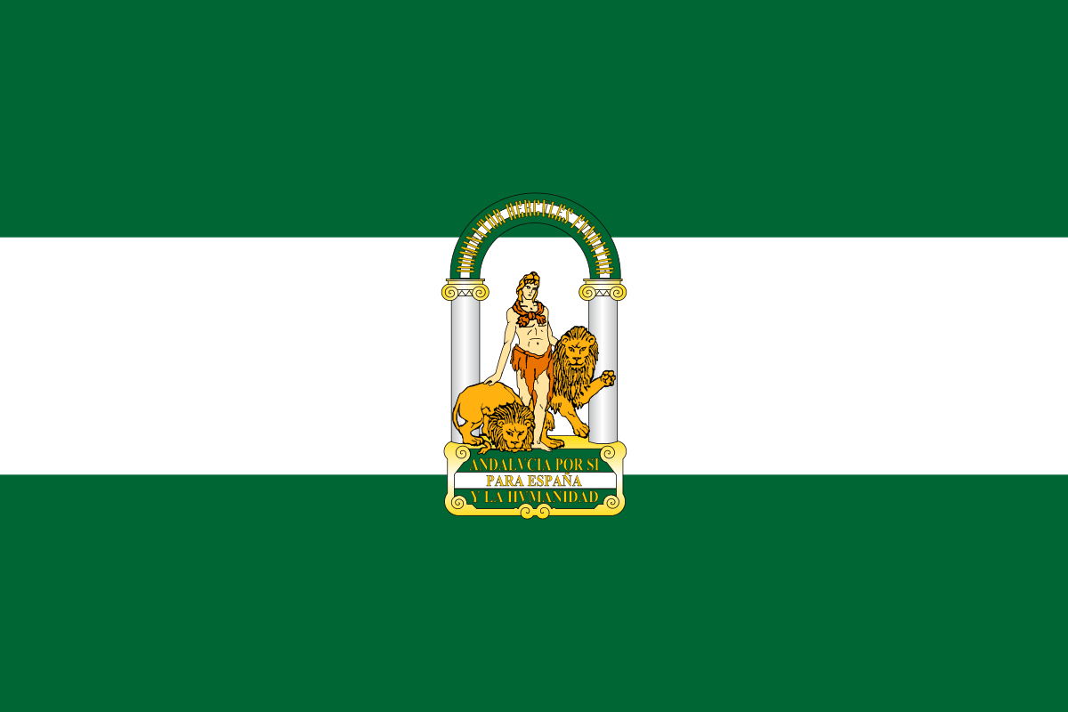 Andalusia
 Bremen
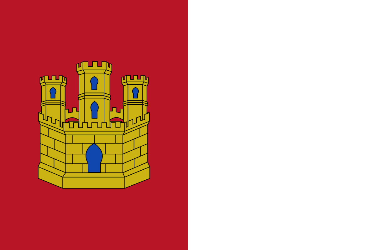 Castilla-La Mancha
China
Germany
England
Castilla-La Mancha
China
Germany
England
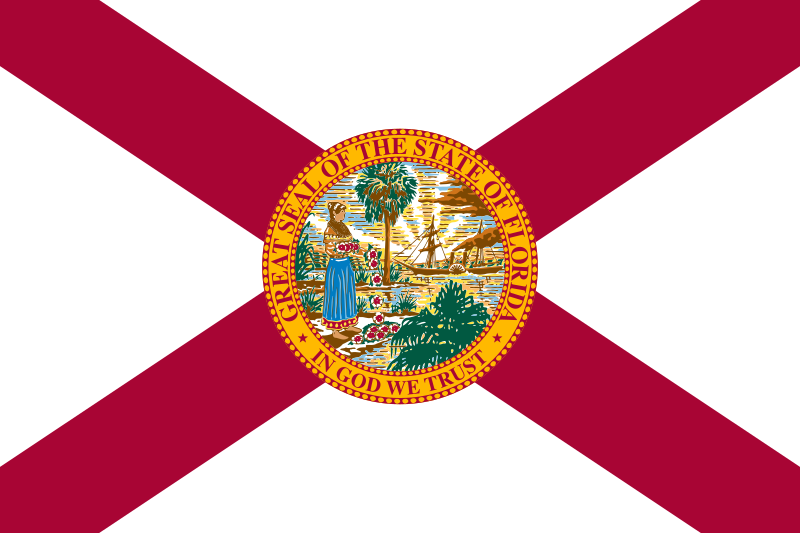 Florida-FL
France
Florida-FL
France
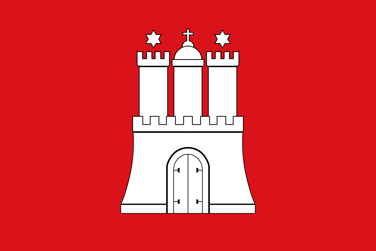 Hamburg
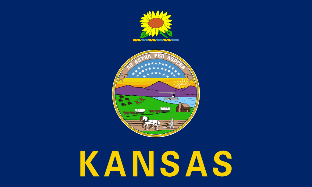 Kansas-KS

 Aerospace
Civil aircraft
Aerospace
Civil aircraft
 Madrid


 Military, defense and equipment
Military aircraft
Military, defense and equipment
Military aircraft
 Lower Saxony
 Occitania
 Pays-de-la-Loire
Spain
Tianjin Shi-TJ
United States
United Kingdom
Pays-de-la-Loire
Spain
Tianjin Shi-TJ
United States
United Kingdom
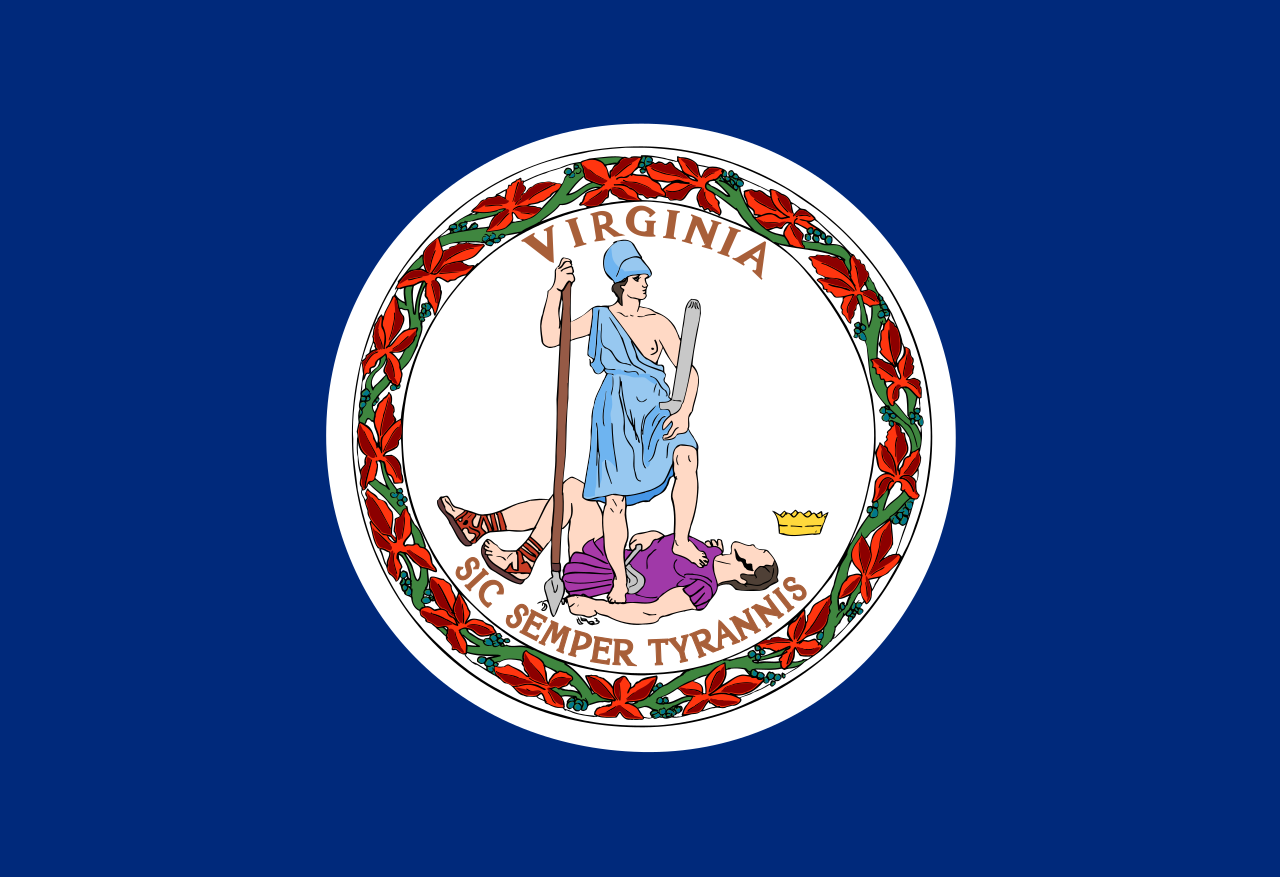 Virginia-VA
Wales
Virginia-VA
Wales
 Washington, D.C.
 Science and technology

 Geography


 Alabama-AL
 Alaska-AK
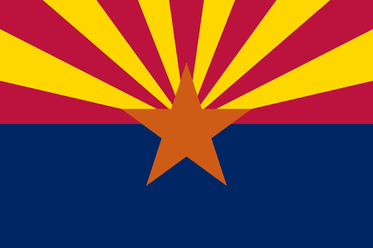 Arizona-AZ
 Arkansas-AR
 Education and Research
Universities and colleges in the United States of America
Education and Research
Universities and colleges in the United States of America
 California-CA
 Colorado-CO
 Connecticut-CT
 Delaware-DE
Florida-FL
Delaware-DE
Florida-FL
 Georgia-GA
 Hawaii-HI
 Idaho-ID
 Illinois-IL
 Indiana-IN
 Iowa-IA
Kansas-KS
Iowa-IA
Kansas-KS
 Kentucky-KY
 Louisiana-LA
 Maine-ME
 Maryland-MD
 Massachusetts-MA
 Michigan-MI
 Minnesota-MN
 Mississippi-MS
 Missouri-MO
 Montana-MT
 Nebraska-NE
 Nevada-NV
 New hampshire-NH
 New jersey-NJ
 New mexico-NM
 New York-NY
 North Carolina-NC
 North Dakota-ND
 Ohio-OH
 Oklahoma-OK
 Oregon-OR
 Pennsylvania-PA
 Rhode Island-RI
 South Dakota-SD
 Tennessee-TN
 Texas-TX
 Universities in the USA
 Utah-UT
United States
Utah-UT
United States
 Vermont-VT
Virginia-VA
Vermont-VT
Virginia-VA
 Washington-WA
Washington, D.C.
Washington-WA
Washington, D.C.
 West Virginia-WV
 Wisconsin-WI
 Wyoming-WY

 Ski vacation
Alabama-AL
Alaska-AK
Arizona-AZ
California-CA
Colorado-CO
Connecticut-CT
Idaho-ID
Illinois-IL
Indiana-IN
Iowa-IA
Maine-ME
Maryland-MD
Massachusetts-MA
Michigan-MI
Minnesota-MN
Missouri-MO
Montana-MT
Nevada-NV
New hampshire-NH
New jersey-NJ
New mexico-NM
New York-NY
North Carolina-NC
North Dakota-ND
Ohio-OH
Oregon-OR
Pennsylvania-PA
Rhode Island-RI
South Dakota-SD
Ski vacation
Alabama-AL
Alaska-AK
Arizona-AZ
California-CA
Colorado-CO
Connecticut-CT
Idaho-ID
Illinois-IL
Indiana-IN
Iowa-IA
Maine-ME
Maryland-MD
Massachusetts-MA
Michigan-MI
Minnesota-MN
Missouri-MO
Montana-MT
Nevada-NV
New hampshire-NH
New jersey-NJ
New mexico-NM
New York-NY
North Carolina-NC
North Dakota-ND
Ohio-OH
Oregon-OR
Pennsylvania-PA
Rhode Island-RI
South Dakota-SD
 Sport
Tennessee-TN
Texas-TX
Utah-UT
United States
Vermont-VT
Virginia-VA
Washington-WA
West Virginia-WV
Wisconsin-WI
Wyoming-WY
Sport
Tennessee-TN
Texas-TX
Utah-UT
United States
Vermont-VT
Virginia-VA
Washington-WA
West Virginia-WV
Wisconsin-WI
Wyoming-WY
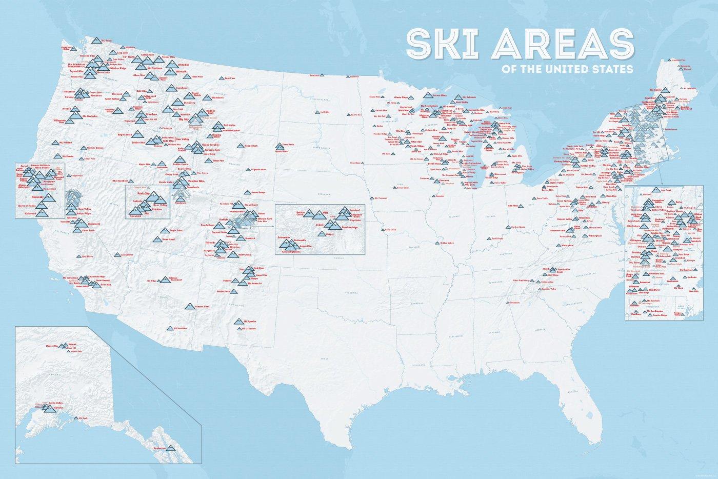
In vielen der 50 Bundesstaaten der USA gibt es Wintersportgebiete, von Maine bis nach Kalifornien. Vor allem drei große Gebirgszüge machen das Skifahren in den Vereinigten Staaten möglich: Zum einen sind dies die Rocky Mountains, die die sogenannten Mountain States durchqueren (Colorado, Nevada, Montana, Wyoming, Idaho und Utah). Die Cascades Range zieht sich von Kanada über Oregon bis hinunter nach Kalifornien. Im Osten der USA befinden sich zudem die Appalachen.
| Name | Orte im Gebiet | Staat | Seehöhe in m |
Liftanlagen1 | Pisten in km |
Weblink | |
| von | bis | ||||||
| Alta Snowbird | Snowbird | Utah | 2365 | 3350 | 1/18/0 | 150 | www.snowbird.com |
| Arapaho Basin | Colorado | 3292 | 3978 | 0/4/0 | 34 | www.arapahoebasin.com | |
| Aspen Highlands | Aspen | Colorado | 2460 | 3536 | 0/5/0 | 58 | www.aspensnowmass.com |
| Aspen Mountain | Aspen | Colorado | 2422 | 3417 | 1/7/0 | 50 | www.aspensnowmass.com |
| Aspen Butermilk | Aspen | Colorado | 2398 | 3013 | 0/5/1 | 34 | www.aspensnowmass.com |
| Aspen Snowmass | Aspen | Colorado | 2473 | 3813 | 2/13/5 | 137 | www.aspensnowmass.com |
| Beaver Creek Resort | Vail/Beaver Creek | Colorado | 2268 | 3478 | 0/15/8 | 152 | www.beavercreek.com |
| Big Sky Resort | Big Sky Village | Montana | 2072 | 3403 | 2/18/2 | 186 | www.bigskyresort.com |
| Breckenridge | Breckenridge | Colorado | 2926 | 3962 | 1/25/25 | 146 | www.snow.com |
| Deer Valley | Deer Valley | Utah | 2003 | 2918 | 1/20/0 | 105 | www.deervalley.com |
| Grand Targhee | Wyoming | 2438 | 3048 | 0/4/0 | 40 | www.grandtarghee.com | |
| Heavenly | Nevada | 1914 | 3039 | 2/17/6 | 89 | www.heavenly.com | |
| Jackson Hole Mountain | Teton Village | Wyoming | 1924 | 3185 | 3/9/0 | 150 | www.jacksonhole.com |
| Keystone | Keystone | Colorado | 2829 | 3782 | 2/16/16 | 116 | www.snow.com |
| Klamath Falls | Oregon | n/a | n/a | n/a | n/a | www.oregon.com | |
| Mammoth Mountain | Kalifornien | 2456 | 3362 | 3/23/4 | 112 | www.mammothmountain.com | |
| Park City Mountain | Park City | Utah | 2103 | 3039 | 0/15/0 | 87 | www.parkcitymountain.com |
| Squaw Valley | Squaw Valley | Kalifornien | 1886 | 2664 | 3/26/3 | 88 | www.squaw.com |
| Steamboat | Steamboat Springs | Colorado | 2097 | 3207 | 1/18/0 | 110 | www.steamboat.com |
| Telluride Skiresort | Telluride | Colorado | 2661 | 3735 | 3/11/0 | 98 | www.tellurideskiresort.com |
| The Canyons | Utah | 2061 | 3038 | 2/12/2 | 106 | www.thecanyons.com | |
| Vail | Vail | Colorado | 2450 | 3527 | 1/23/9 | 215 | www.vail.com |
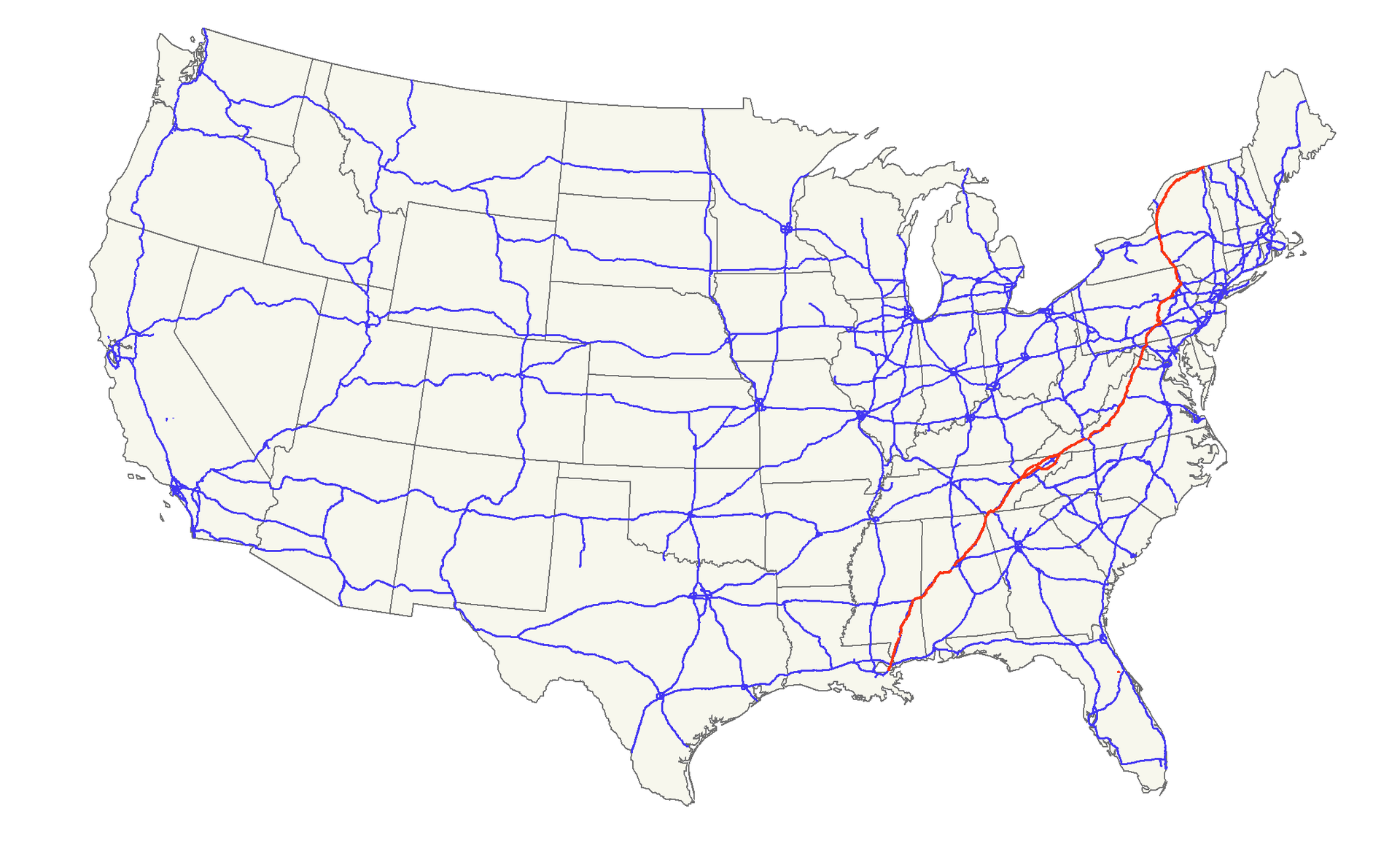
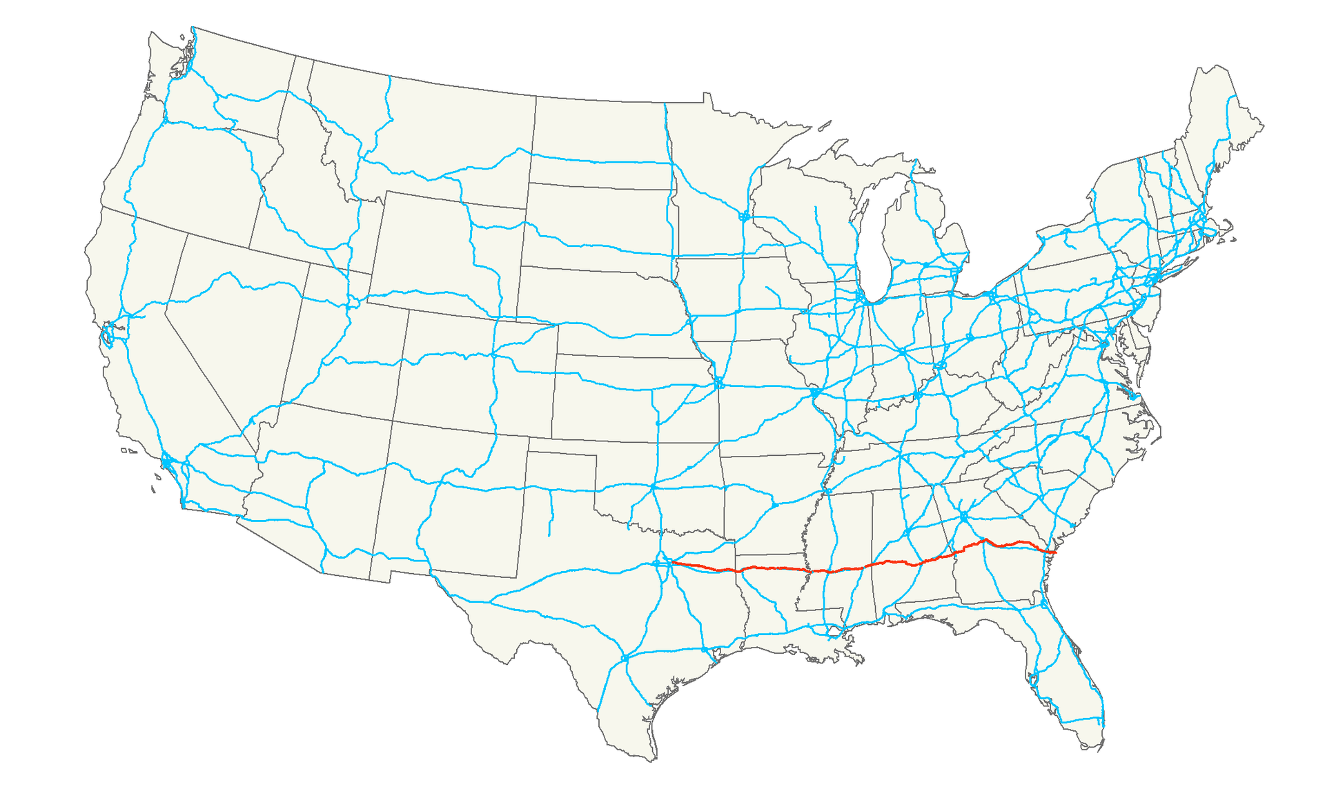
 Transport and traffic
Alabama-AL
Georgia-GA
Louisiana-LA
Maryland-MD
Mississippi-MS
New York-NY
Pennsylvania-PA
Tennessee-TN
Virginia-VA
West Virginia-WV
Transport and traffic
Alabama-AL
Georgia-GA
Louisiana-LA
Maryland-MD
Mississippi-MS
New York-NY
Pennsylvania-PA
Tennessee-TN
Virginia-VA
West Virginia-WV