漢德百科全書 | 汉德百科全书
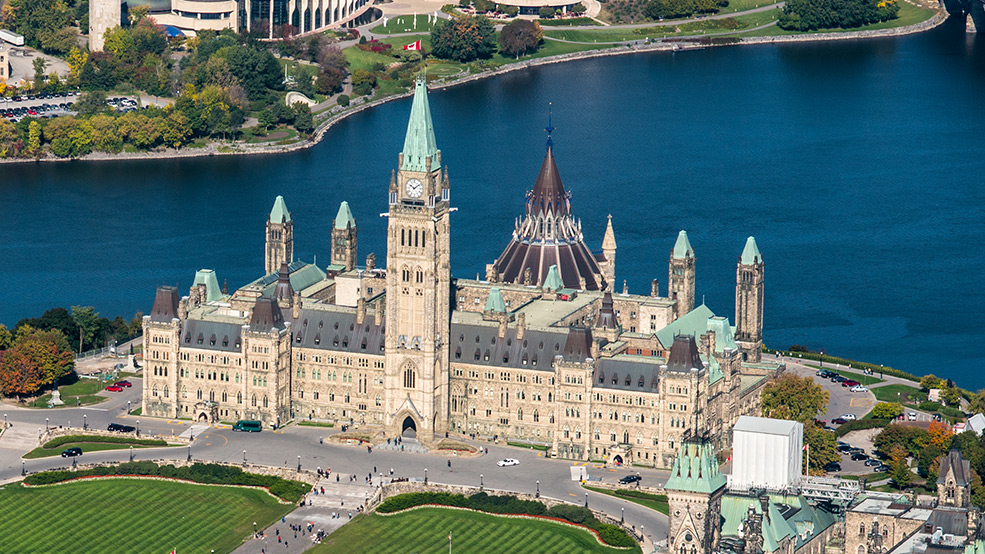
 Canada
 Architecture
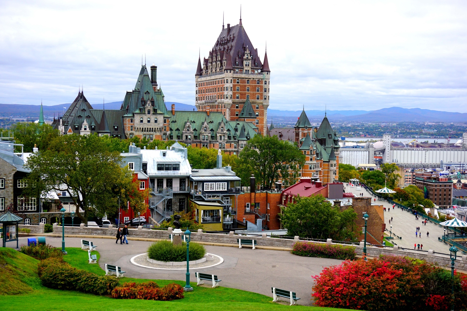
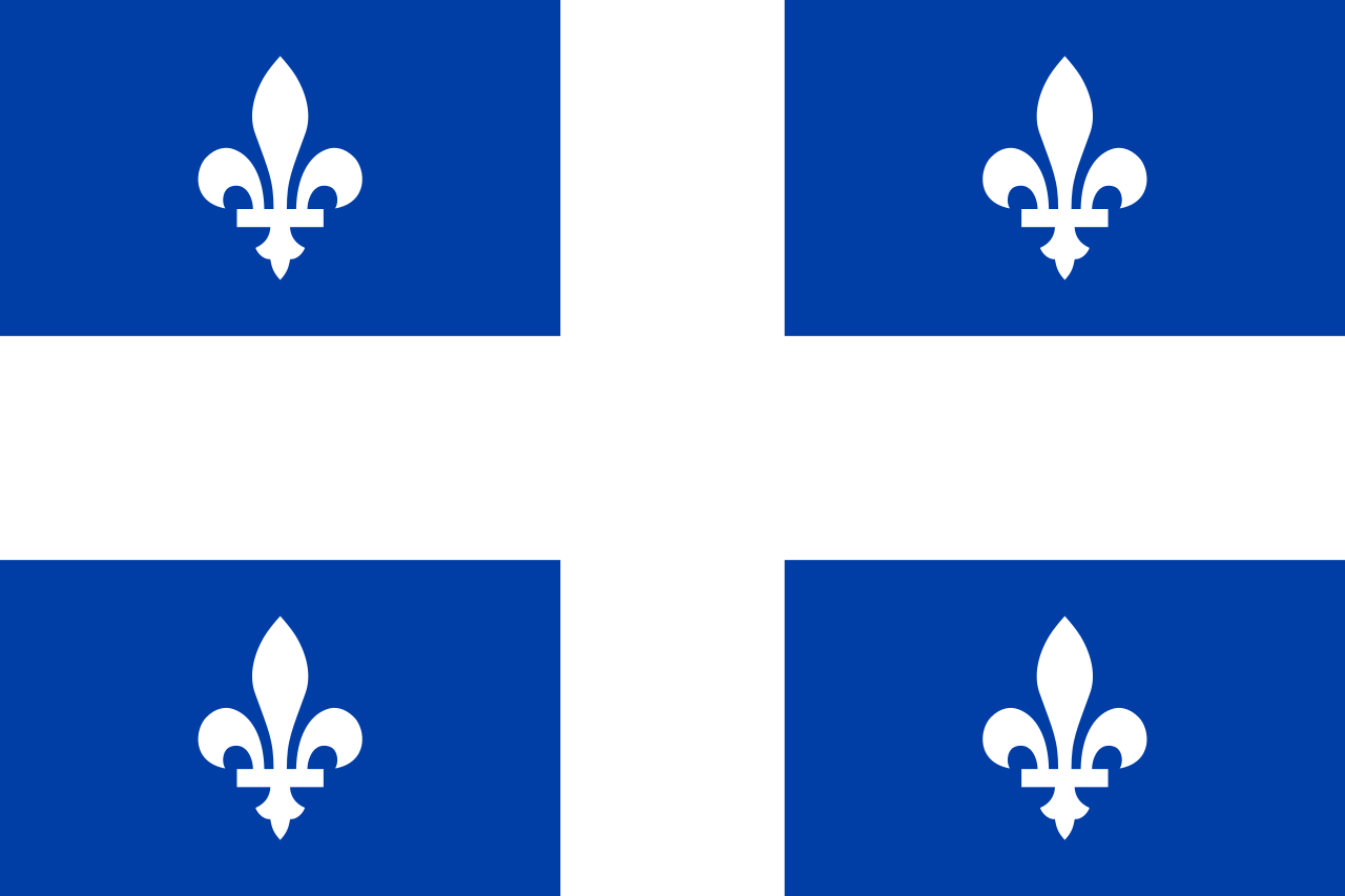 Quebec-QC
 Australia
Belgium
Brazil
Germany
Finland
France
Iran
Israel
Italy
Japan
Canada
New Zealand
Norwegen
Austria
Russia
Sweden
United States
United Kingdom
Vietnam
Australia
Belgium
Brazil
Germany
Finland
France
Iran
Israel
Italy
Japan
Canada
New Zealand
Norwegen
Austria
Russia
Sweden
United States
United Kingdom
Vietnam
 Science and technology
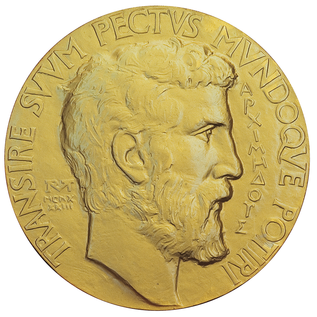
Die Fields-Medaille, offizieller Name International Medal for Outstanding Discoveries in Mathematics (deutsch: „Internationale Medaille für herausragende Entdeckungen in der Mathematik“), ist eine der höchsten Auszeichnungen, die ein Mathematiker erhalten kann. Sie ist benannt nach ihrem Stifter, dem kanadischen Mathematiker John Charles Fields (1864–1932), und wurde das erste Mal 1936 vergeben. Seit 1950 wird sie alle vier Jahre von der Internationalen Mathematischen Union (IMU) anlässlich des Internationalen Mathematikerkongresses (ICM) an zwei bis vier Mathematiker verliehen, die jünger als 40 Jahre sind und sich in besonderer Weise auf dem Gebiet der mathematischen Forschung hervorgetan haben (so formell definiert seit 1966). Mit der Verleihung ist ein Preisgeld von 15.000 kanadischen Dollar verbunden. Beim ICM werden gleichzeitig drei weitere Preise verliehen: der Carl-Friedrich-Gauß-Preis für Beiträge zur angewandten Mathematik, die IMU-Abakus-Medaille für Beiträge zur theoretischen Informatik und die Chern-Medaille für herausragendes Lebenswerk auf höchstem Niveau.
菲尔兹奖(英语:Fields Medal),正式名称为国际杰出数学发现奖(英语:International Medals for Outstanding Discoveries in Mathematics),是一个在国际数学联盟的国际数学家大会上颁发的奖项。每四年评选2-4名有卓越贡献且年龄不超过40岁的数学家。得奖者须在该年元旦前未满四十岁。
奖项以加拿大数学家约翰·查尔斯·菲尔兹的名字命名。菲尔兹筹备设立该奖,并在遗嘱中捐出47,000元给奖项基金。
菲尔兹奖被认为是年轻数学家的最高荣誉,和阿贝尔奖均被称为数学界的诺贝尔奖。奖金有15,000加拿大元,约合13,767美元。而阿贝尔奖的奖金有600万瑞典克朗,约合100万美元,更接近诺贝尔奖。
*Canadian Think Tanks
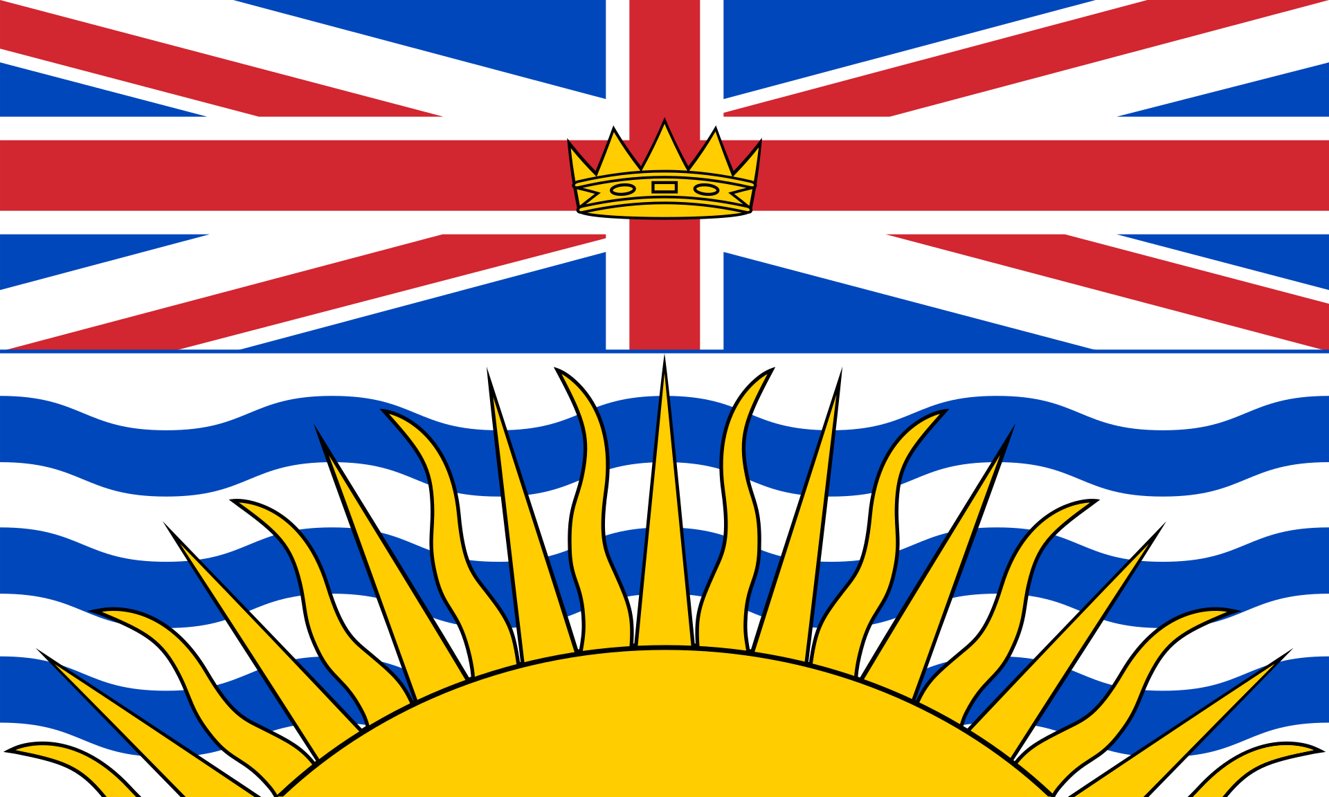 British Columbia-BC
 Financial
 *Canada economic data
 Party and government
*Think Tank
Party and government
*Think Tank
 Economy and trade
Economic and political research
Economy and trade
Economic and political research

 Ships and Nautics

Die National Historic Site of Canada Fisgard Lighthouse liegt, gemeinsam mit der National Historic Site of Canada Fort Rodd Hill, am Eingang zum Marinehafen von Esquimalt auf Vancouver Island. Zur Ansteuerung und zum Schutz des Hafens, der heutigen CFB Esquimalt, wurden die beiden Bauwerke errichtet.
 Geography
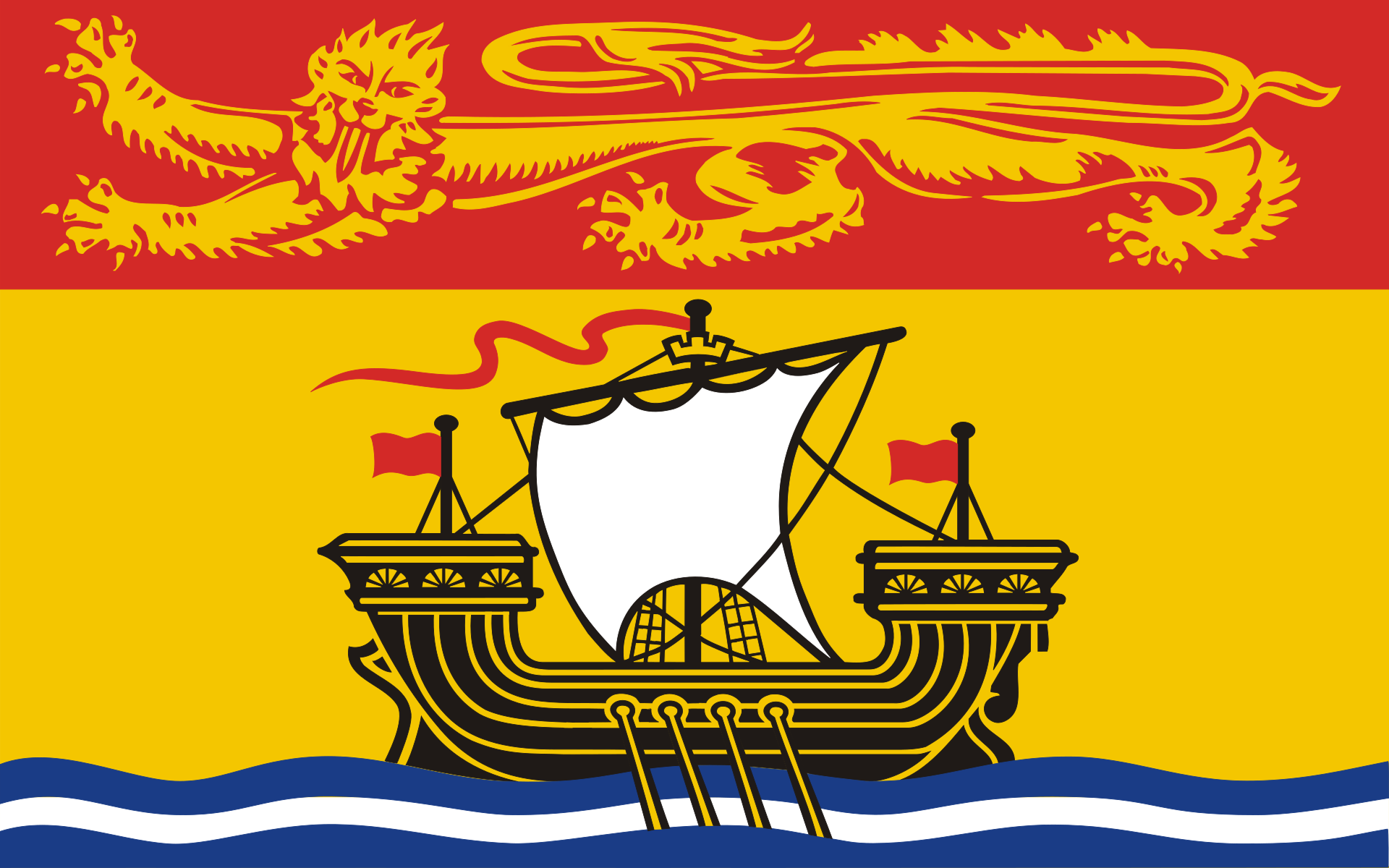 New Brunswick-NB
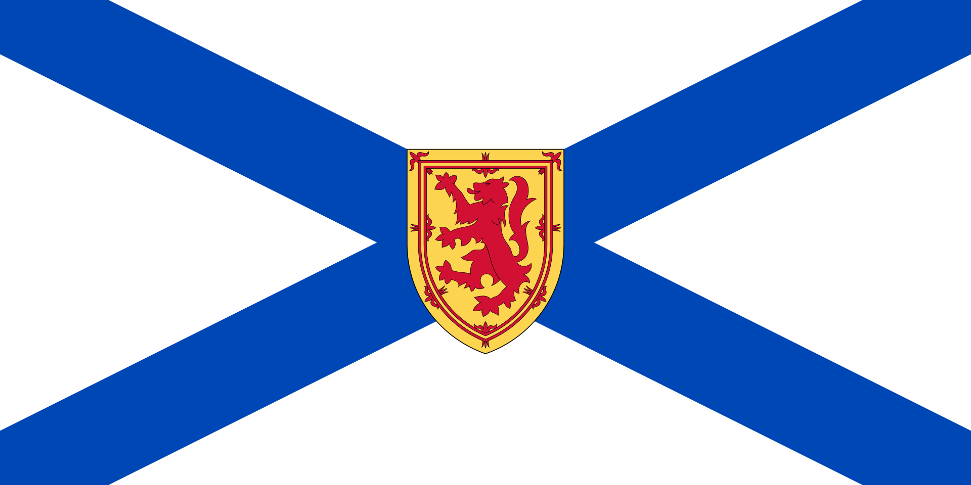 Nova Scotia-NS

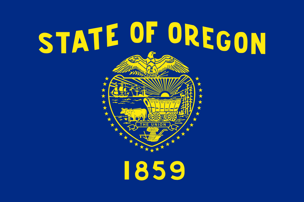 Oregon-OR
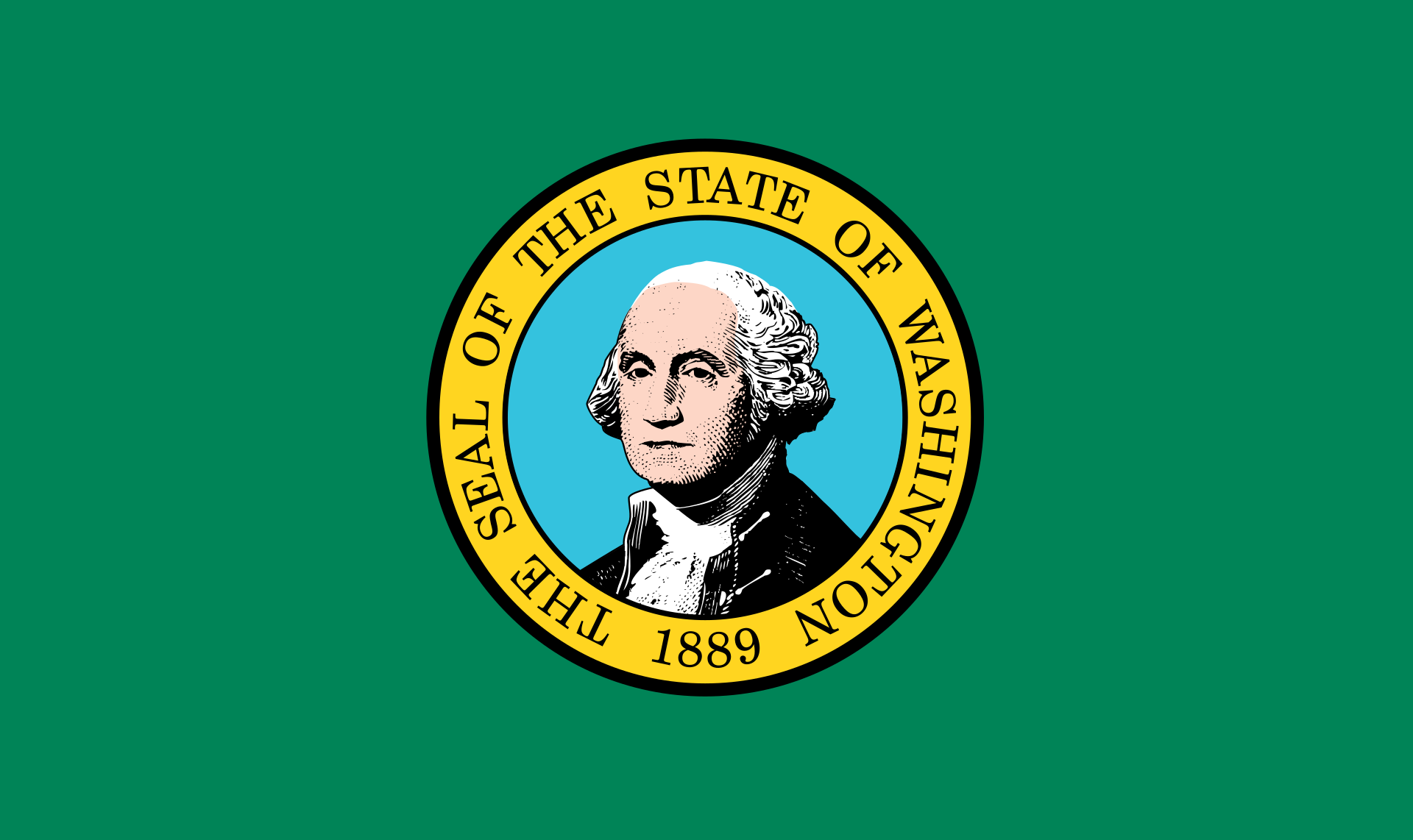 Washington-WA
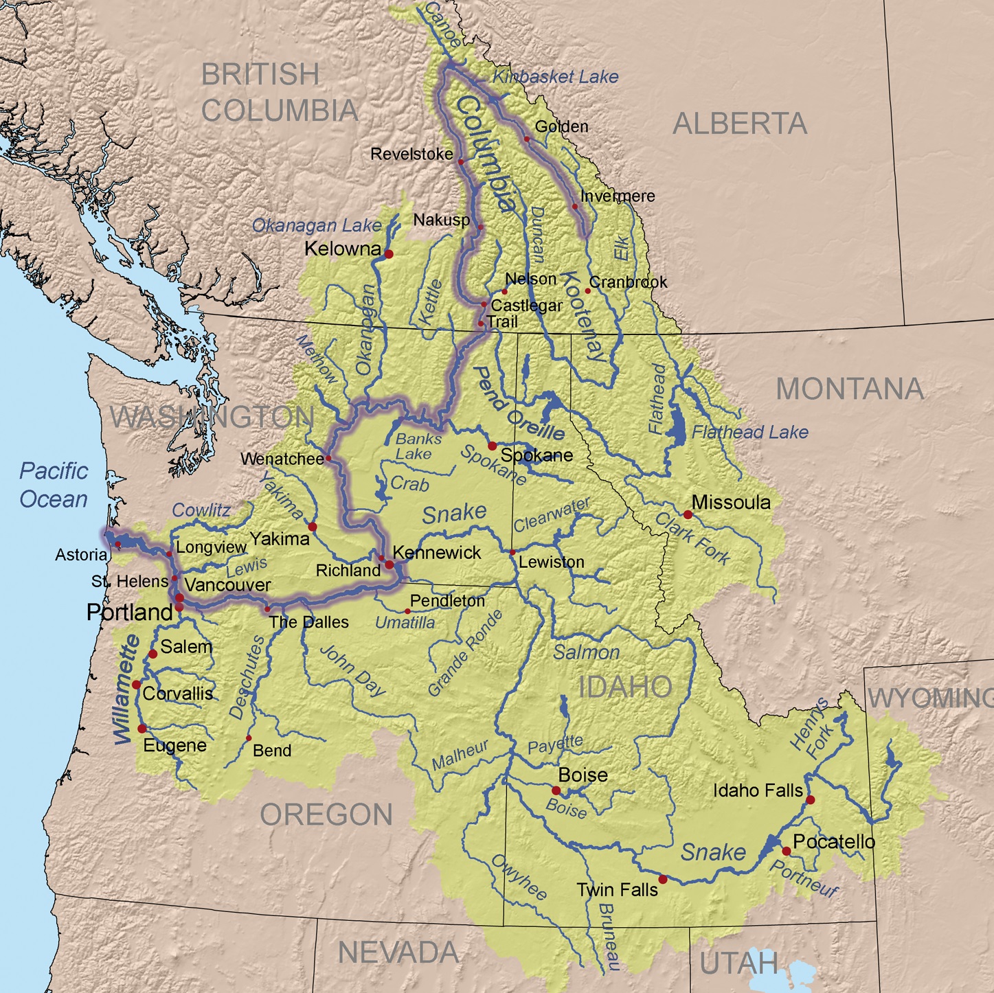
Der Columbia River ist ein 1953 Kilometer langer Fluss im westlichen Nordamerika. Er ist der wasserreichste aller nordamerikanischen Flüsse, die in den Pazifischen Ozean münden.
Mit seinem linken Nebenfluss, dem Snake River, zusammen hat er eine Länge von 2240 km. Sein Einzugsgebiet umfasst 668.217 km², wovon etwa 15 % innerhalb Kanadas[1] liegen.
Der Fluss ist nach dem Schiff Columbia Rediviva des US-amerikanischen Kapitäns Robert Gray benannt, der am 11. Mai 1792 als erster Weißer den Columbia River hinauffuhr. Gray reiste in den pazifischen Nordwesten, um mit Fellen zu handeln.[2]
Die Lewis-und-Clark-Expedition erreichte 1805 vom Osten auf dem Landweg die Mündung des Flusses. Der Columbia River wurde 1814 erstmals vollständig von David Thompson kartografiert.
Von den 1820er Jahren bis in die 1840er Jahre folgte der York Factory Express, eine Handelsroute der Hudson’s Bay Company zwischen der York Factory an der Hudson Bay und dem Fort Vancouver, abschnittsweise dem Flusslauf.
哥伦比亚河(英语:Columbia River),位于北美太平洋西北地区,全长2,044公里,流域面积415,211平方公里,平均流量每秒7,500立方米。哥伦比亚河起源于洛矶山脉在加拿大不列颠哥伦比亚内的部分,向西北方向蜿蜒,然后向南流入美国境内的华盛顿州,然后沿着华盛顿州和俄勒冈州的边界向西流动,最后注入太平洋。整段河流流经的美国州级行政单位和加拿大的省级行政单位共7个。哥伦比亚河是北美洲太平洋西北地区最大的河流。1792年罗伯特·格雷船长率领哥伦比亚号发现了这条河,并将此河用自己的帆船名来命名。
コロンビア川(コロンビアがわ、Columbia River)は、カナダのブリティッシュコロンビア州およびアメリカ合衆国太平洋岸北西部を流れる川である。
ブリティッシュコロンビア州のカナディアンロッキーに源を発する。そこからアメリカ、ワシントン州を流れ、ポートランドにて支流のウィラメット川を合わせ、オレゴン州のアストリアにて太平洋に注ぐ。最後の480kmはワシントン州とオレゴン州の境界となっている。
コロンビア川には、ボンネビル・ダム、グランドクーリーダムなどの水力発電用のダムがある。
マンハッタン計画以来半世紀間操業したハンフォード・サイトのプルトニウム生産炉による放射能汚染が深刻な問題となっている。
The Columbia River (Upper Chinook: Wimahl or Wimal; Sahaptin: Nch’i-Wàna or Nchi wana; Sinixt dialect swah'netk'qhu) is the largest river in the Pacific Northwest region of North America.[10] The river rises in the Rocky Mountains of British Columbia, Canada. It flows northwest and then south into the US state of Washington, then turns west to form most of the border between Washington and the state of Oregon before emptying into the Pacific Ocean. The river is 1,243 miles (2,000 km) long, and its largest tributary is the Snake River. Its drainage basin is roughly the size of France and extends into seven US states and a Canadian province. The fourth-largest river in the United States by volume, the Columbia has the greatest flow of any North American river entering the Pacific.
The Columbia and its tributaries have been central to the region's culture and economy for thousands of years. They have been used for transportation since ancient times, linking the region's many cultural groups. The river system hosts many species of anadromous fish, which migrate between freshwater habitats and the saline waters of the Pacific Ocean. These fish—especially the salmon species—provided the core subsistence for native peoples.
The first documented European discovery of the Columbia River was that of Bruno de Heceta, who in 1775 sighted the river's mouth. In the late 18th century, a private American ship became the first non-indigenous vessel to enter the river; it was followed by a British explorer, who navigated past the Oregon Coast Range into the Willamette Valley. In the following decades, fur trading companies used the Columbia as a key transportation route. Overland explorers entered the Willamette Valley through the scenic but treacherous Columbia River Gorge, and pioneers began to settle the valley in increasing numbers. Steamships along the river linked communities and facilitated trade; the arrival of railroads in the late 19th century, many running along the river, supplemented these links.
Since the late 19th century, public and private sectors have heavily developed the river. To aid ship and barge navigation, locks have been built along the lower Columbia and its tributaries, and dredging has opened, maintained, and enlarged shipping channels. Since the early 20th century, dams have been built across the river for power generation, navigation, irrigation, and flood control. The 14 hydroelectric dams on the Columbia's main stem and many more on its tributaries produce more than 44 percent of total US hydroelectric generation. Production of nuclear power has taken place at two sites along the river. Plutonium for nuclear weapons was produced for decades at the Hanford Site, which is now the most contaminated nuclear site in the US. These developments have greatly altered river environments in the watershed, mainly through industrial pollution and barriers to fish migration.
Le Columbia (se prononce /kə.lʌm.bi.ə/ ou « co-lemb-bia » et se nomme Columbia River /kə.lʌm.bi.ə ˈɹɪvəɹ/ en anglais) est un fleuveNote 1 circulant du Canada aux États-Unis avant de se jeter dans l'océan Pacifique.
C'est le plus grand cours d'eau de la région Nord-Ouest Pacifique de l'Amérique du Nord, que ce soit par sa longueur totale, la taille du bassin versant ou son débit à l'embouchure. Il prend sa source dans les montagnes Rocheuses en Colombie-Britannique, au Canada, puis coule dans les États américains de Washington et de l'Oregon avant de se jeter dans l'océan Pacifique à la hauteur de la ville d'Astoria. Le fleuve mesure environ 2 000 kilomètres et son principal affluent est la Snake. Son bassin versant est d'environ 670 000 kilomètres carrés, soit un peu plus que la taille de la France, et s'étend sur sept États américains et une province canadienne.
Le Columbia est le quatrième fleuve des États-Unis par son volume et est celui des fleuves d'Amérique du Nord qui se jettent dans l'océan Pacifique qui a le plus grand débit. Son débit abondant et son dénivelé relativement important lui donnent un énorme potentiel pour la production d'énergie hydroélectrique. Les quatorze barrages hydroélectriques sur le cours principal du Columbia produisent à eux seuls plus d'énergie hydroélectrique que ceux de tout autre fleuve nord-américain.
Le Columbia et ses affluents ont été au centre de la culture et de l'économie de la région depuis des milliers d'années. Ils ont été utilisés pour le transport et comme axe de communication, reliant les nombreux groupes de populations de la région. Le système fluvial accueille de nombreuses espèces de poissons anadromes qui migrent entre les habitats d'eau douce et de mer de l'océan Pacifique. Ces poissons, surtout les espèces de saumons, fournirent une nourriture de base pour les peuples autochtones et, dans les siècles passés, les commerçants de tout l'Ouest de l'Amérique du Nord sont venus commercer ces poissons.
À la fin du XVIIIe siècle, le Columbia Rediviva, un navire américain, devint le premier à entrer dans l'embouchure du fleuve depuis l'océan Pacifique, et son commandant Robert Gray nomma sa découverte du nom de son bateau. Il fut suivi par l'explorateur britannique William Robert Broughton qui explora la chaîne côtière de l'Oregon dans la vallée de la Willamette. Dans les décennies suivantes, les compagnies commerciales de traite des fourrures utilisèrent le Columbia comme une voie de transport clé. Les explorateurs à terre venus de l'est entrèrent dans la vallée de la Willamette par la gorge du Columbia et les pionniers commencèrent à s'installer dans la vallée de la Willamette en nombre croissant depuis les deux voies d'accès découvertes. Les bateaux à vapeur naviguant le long du fleuve facilitèrent le commerce et les communications et l'arrivée du chemin de fer à la fin du XIXe siècle, avec des lignes suivant le lit du fleuve, permit de compléter ces liens.
Depuis la fin du XIXe siècle, les installations diverses, privées et publiques, se sont fortement développées sur le fleuve. Pour faciliter la navigation des navires et des barges, des écluses ont été construites le long du bas Columbia et de ses affluents, et le dragage a ouvert et maintenu des chenaux de navigation praticables. Dès le début du XXe siècle, des barrages furent construits sur le fleuve pour la production d'électricité, la navigation, l'irrigation agricole et le contrôle des inondations. Au début des années 2010, du côté américain, un lac de barrage est présent presque tous les milles sur le fleuve. La production d'énergie nucléaire a lieu sur deux sites le long du fleuve et du plutonium pour des armes nucléaires a été produit pendant des décennies sur le site du laboratoire national de Hanford, qui est maintenant le site nucléaire le plus contaminé aux États-Unis. Toutes ces évolutions eurent un impact énorme sur les écosystèmes locaux, et peut-être plus particulièrement par la pollution industrielle et les obstacles à la migration des poissons.
Il Columbia è il fiume più grande sfociante nel Pacifico nord-occidentale, in Nord America.
Il fiume nasce dalle Montagne Rocciose della Columbia Britannica, in Canada. Scorre con andamento nord-ovest e poi verso sud, entrando negli Stati Uniti d'America, nello stato di Washington; successivamente inizia a scorrere verso ovest per fungere da confine tra Washington e l'Oregon, prima di sfociare nell'Oceano Pacifico. La lunghezza del fiume è di 2.000 km, e il suo più grande affluente lo Snake. Il suo bacino idrografico ha quasi le dimensioni della Francia.
Il Columbia è il quarto fiume più grande degli Stati Uniti, ed il fiume con più portata tra quelli sfocianti nel Pacifico nord-occidentale. L'enorme portata e la relativa velocità delle sue acque conferiscono al Columbia un enorme potenziale per la generazione di energia idroelettrica. Le 14 dighe poste sul fiume, e quelle poste lungo il corso degli affluenti, producono più energia di qualsiasi altro fiume nordamericano.
Il fiume e i suoi affluenti sono stati per migliaia di anni molto importanti per la cultura e l'economia delle regioni che attraversano. Essi sono stati utilizzati per il trasporto fin dall'antichità, collegando un sistema di culture molto diverse tra loro. Le fasce fluviali del Columbia e dei suoi affluenti ospitano molte specie di pesci anadromi, che migrano dalle acque dolci a quelle salate dell'Oceano Pacifico. Questi pesci, soprattutto il salmone, sono stati fondamentali per la sopravvivenza dei nativi e per i commercianti provenienti da tutto il Nord America.
El río Columbia (también conocido como Wimahl o Gran Río por los nativos de los pueblos chinook que viven en su curso bajo) es un río del suroeste de Canadá y noroeste de Estados Unidos que fluye en dirección norte-sur-oeste por la provincia de Columbia Británica, en Canadá, y los estados de Washington y Oregón en Estados Unidos, desembocando en el océano Pacífico. Con 2044 km es el sexto río más largo de América del Norte, por detrás del Misuri, Misisipi, Bravo, Arkansas y Colorado.
Toma el nombre del Columbia Rediviva, el primer barco occidental conocido que haya remontado el río. Nace en la provincia canadiense de la Columbia Británica y tras cruzar el estado de Washington (EE. UU.) y luego delimitar gran parte de la separación administrativa entre los estados de Washington y Oregón, desemboca en el Pacífico. Su cuenca hidrográfica, que drena gran parte de la Columbia Británica, Idaho, Oregón, Washington y pequeñas regiones de Montana, Wyoming, Utah y Nevada, comprende 668 000 km².
En términos de caudal (7500 m³/s en su desembocadura), el Columbia es el río de Norteamérica más caudaloso de la vertiente del Pacífico y el cuarto más caudaloso de los Estados Unidos. La fuerte corriente del río y el elevado salto o descenso de altura en una relativamente corta longitud, le proporciona un tremendo potencial de producción de electricidad que ya ha sido explotado, siendo el río que más energía hidroeléctrica produce de Norteamérica, con catorce presas a lo largo de su curso —tres en Canadá y once en Estados Unidos— y otras muchas en varios de sus afluentes.
Su desembocadura fue descubierta y cartografiada en 1775 por el buque español Santiago al mando del comandante Bruno de Heceta. En 1792 fue explorado por el comerciante y aventurero estadounidense Robert Gray. Entre 1807 y 1811, la peletera Compañía del Noroeste explotó todo su curso. Desde la década de 1810 el río sirvió como vía de comunicación en la región noroccidental del subcontinente.1
Después del establecimiento de numerosos asentamientos estadounidenses y europeos en sus orillas, el río Columbia ha prestado muchos servicios para el desarrollo de los propósitos humanos, incluyendo trabajos de draga para permitir la navegación de mayores barcos por sus aguas, la construcción de presas para la generación de electricidad, agua para el riego de cultivos y control de crecidas e inundaciones, e incluso para refrigerar instalaciones de energía nuclear. Todos esos proyectos han entrado en conflicto con la conservación del medioambiente y el movimiento de especies píscicolas y animales, produciendo una contaminación indeseada en sus aguas.
Колумбия (англ. Columbia River) — река на северо-западе Северной Америки[1]. Пересекает канадскую провинцию Британская Колумбия, а также американские штаты Вашингтон и Орегон. Длина — 2000[2] км.
Полноводная Колумбия имеет ледниковое питание и горный скоротечный характер течения. Большой объём воды и значительный перепад высот на относительно короткой дистанции создаёт благоприятные условия для производства гидроэлектроэнергии. Колумбия является рекой с самым большим производством электроэнергии в Северной Америке. На реке построено 14 гидроэлектростанций как в США, так и в Канаде.
Первыми из европейцев по реке спустились участники экспедиции Льюиса и Кларка 1805—1807 годов. В 1806—1811 годах бассейн реки обследовал и нанёс на карту торговец пушниной и картограф Дэвид Томпсон. Он же стал первым, кто прошёл реку от истоков до устья.
 Animal world
 Newfoundland and Labrador-NL

.jpg)
 Driving school
Egypt
Australia
Belgium
Brazil
China
Denmark
Germany
Finland
France
Greece
Driving school
Egypt
Australia
Belgium
Brazil
China
Denmark
Germany
Finland
France
Greece
 Hand in Hand
Driver's license
India
Indonesia
Italy
Japan
Canada
Kasachstan
Croatia
Malaysia
Hand in Hand
Hand in Hand
Driver's license
India
Indonesia
Italy
Japan
Canada
Kasachstan
Croatia
Malaysia
 Mongolei
New Zealand
Netherlands
Useful info
Austria
Portugal
Republic of Korea
Russia
Saudi Arabia
Sweden
Switzerland
Singapore
Spain
South Africa
Thailand
Czech Republic
Turkey
Hungary
Mongolei
New Zealand
Netherlands
Useful info
Austria
Portugal
Republic of Korea
Russia
Saudi Arabia
Sweden
Switzerland
Singapore
Spain
South Africa
Thailand
Czech Republic
Turkey
Hungary
 Vacation and Travel
United Arab Emirates
United States
United Kingdom
Vacation and Travel
United Arab Emirates
United States
United Kingdom
国际驾驶执照(International Driving Permit)依照1949年日内瓦国际道路交通公约及1968年维也纳国际道路交通公约,由公约签署国政府签发,方便本国驾驶员在其他签约国驾驶私人车辆。国际驾驶执照为附加在一国驾驶执照之上的一本附加多国语言的说明,标注了驾驶人的基本信息以及允许驾驶的对应车辆种类等,解决驾驶员与其他国家的交通管理部门之间的沟通障碍。国际驾照不能独立存在,当驾驶员同时持有一国驾照与该国政府签发的国际驾照时,此国际驾照才视作有效。[1]
国际驾驶执照之内容及格式依照维也纳道路交通会议制订,但并非各国均批准该公约。
Ein Internationaler Führerschein ist ein Dokument, das von den Straßenverkehrsbehörden oder Automobilclubs[1] eines Landes aufgrund zwischenstaatlicher Verträge ausgestellt wird. Er soll vor allem der Polizei eines anderen Landes die Feststellung ermöglichen, ob ein ausländischer Kraftfahrer die Fahrerlaubnis hat, die für sein aktuelles Fahrzeug erforderlich ist.
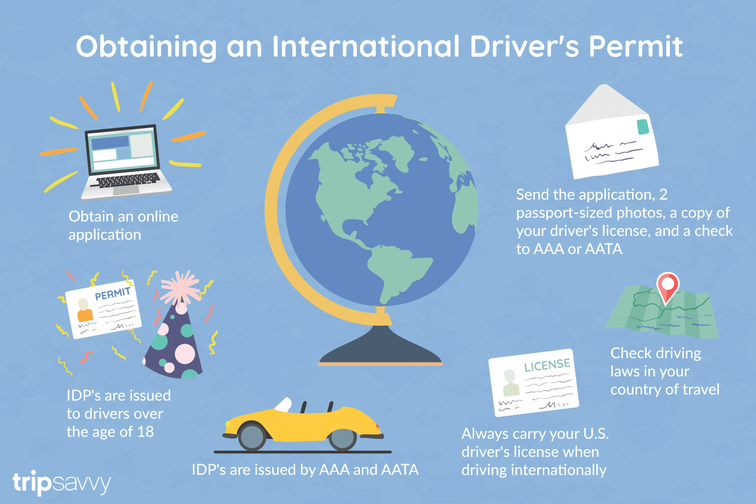
An International Driver's Permit (IDP) allows you to drive a vehicle in another country, as long as you also have a valid driver's license issued by your state. It is also recognized as a proper form of identification in over 175 countries and by many major car rental companies internationally.
Getting an International Driver's Permit (sometimes incorrectly called an international driver's license) can take anywhere from a day to a few weeks, depending on whether you're going through walk-in processing or applying via mail, so make sure to plan ahead if you're planning to drive on your international trip. There are only two locations in the United States that issue these documents: The American Automobile Association (AAA) and the American Automobile Touring Alliance (AATA).
In the United States, International Driver Permits (IDPs) are only issued by the American Automobile Association and the American Automobile Touring Alliance, and the State Department recommends against purchasing an IDP from other outlets as they are all entirely illegal to buy, carry, or sell.
IDPs can be issued to anyone over 18 who has had a valid driver's license for six months or longer. They typically remain valid for one year or the expiration of your existing state driving license. It's essential to investigate an IDP before your trip and make sure you know the requirements.
Both AAA and AATA are excellent sources for these documents, so once you've selected a provider, go to either the AAA's or NAATA's website, print out the International Driving Permit Application, complete all applicable fields, and submit it.
Once you have the application completed, you can send it in via the mail or visit a local office of an organization like AAA; you'll also need two original passport-sized photos and a signed copy of your valid U.S. driver's license as well as an enclosed check for the fee.
Tips to Getting and Using Your Permit
AAA offices can process IDPs during your visit, but processing generally takes 10 to 15 business days if you send the application in. However, expedited services may be available to get your license within one or two business days for an additional fee.
When applying, you'll need a computer and printer, a completed application, a copy of your valid U.S. driver's license, two passport photos, and a check, money order, or credit card to complete the process. Remember to bring these with you if you're applying in person.
Always make sure to carry your valid United States driver's license when driving internationally, as your IDP is invalid without this accompanying proof of eligibility to drive. IDPs only translate domestically-accepted licenses and do not allow those without government-issued driver's licenses to drive abroad.
You'll also want to make sure to enclose the proper fees (the fee for the IDP, as well as any shipping and handling fees), photos, and photocopies of your license when submitting your application to AAA or AATA as omitting any of these required documents will result in your application being rejected.
You should also check the driving requirements and laws for the countries you will be driving in on your vacation, so you'll know what will be required in the event you get stopped by local authorities. (Quelle:https://www.tripsavvy.com/)
 Sport
Australia
China
Germany
France
ITU World Championship Series
Japan
Canada
Kasachstan
Mexico
New Zealand
Netherlands
Austria
Portugal
Republic of Korea
Sweden
Switzerland
Spain
South Africa
Hungary
United Arab Emirates
United States
United Kingdom
United Kingdom
Bermuda
Sport
Australia
China
Germany
France
ITU World Championship Series
Japan
Canada
Kasachstan
Mexico
New Zealand
Netherlands
Austria
Portugal
Republic of Korea
Sweden
Switzerland
Spain
South Africa
Hungary
United Arab Emirates
United States
United Kingdom
United Kingdom
Bermuda
 *Canadian Think Tanks
Financial
*Canada economic data
*Canadian Think Tanks
Financial
*Canada economic data
 Ontario-ON
Party and government
*Think Tank
Economy and trade
Economic and political research
Ontario-ON
Party and government
*Think Tank
Economy and trade
Economic and political research