Deutsch-Chinesische Enzyklopädie, 德汉百科
 Mexico
 Geography


 Architecture

 Sport
Sport


The Professional Bull Riders, Inc. (PBR) is an international professional bull riding organization based in Pueblo, Colorado, United States. In the U.S., PBR events have been televised on CBS and CBS Sports Network since 2012. In 2013, the PBR and CBS signed a contract that extended CBS Sport's partnership with PBR, making them the primary sports broadcaster for PBR.[1][2] In 2018, the PBR launched RidePass; its own subscription-based video on demand service that live-streams PBR events, as well as PBR-produced events for other western sport organizations. On July 20, 2021, RidePass switched from a subscription-based streaming service to a free, ad-supported streaming channel on Pluto TV.[3][4] More than 500 cowboys from the United States, Canada, Mexico, Brazil, Australia and other countries hold PBR memberships.
职业骑牛大赛(英语:Professional Bull Riders)是一项由职业骑牛大赛公司所组织的国际化体育赛事。此项赛事起源于1992年,比赛的主要内容是让骑手骑在一头暴躁的公牛身上尽可能长的时间,评委会综合时间及技巧进行打分。

梅斯卡拉桥,又称为梅斯卡拉团结桥,是一座位于墨西哥格雷罗州(Guerrero)高速公路95D(Highway 95D)的斜拉桥,跨度从巴尔萨斯河到接近墨西哥西太平洋沿岸。总长度为891米(2,923英尺) ,1993年完成了约六个不对称跨度,1994年起开始收费,成为收费桥。
Die Puente Río Mezcala (früher Puente Río Mezcala Solidaridad, umgangssprachlich auch nur Puente Mezcala) ist eine Autobahnbrücke im Zuge der mexikanischen Autopista del Sol (Carretera Federal 95D), die Mexiko-Stadt über Cuernavaca mit Acapulco am Pazifik verbindet.
 International cities
 Important port

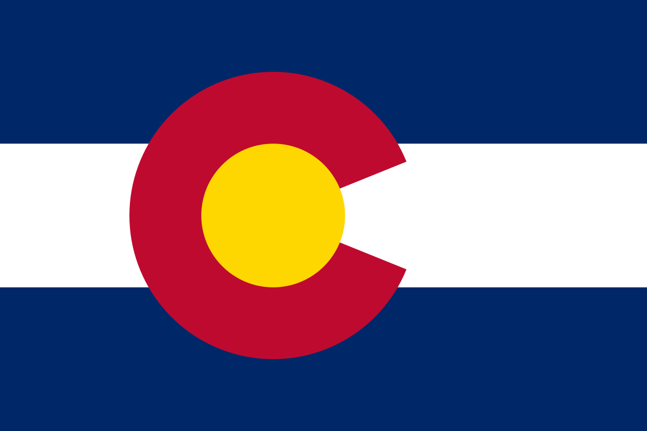 Colorado-CO
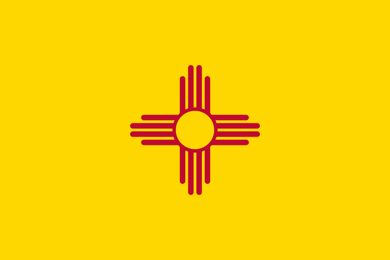 New mexico-NM
 Texas-TX
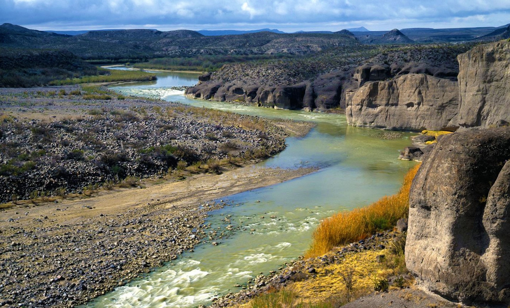
Der Rio Grande (wie er in den USA heißt) beziehungsweise der Río Bravo del Norte, oder verkürzt Río Bravo (wie er in Mexiko heißt), ist ein Strom in diesen beiden Staaten Nordamerikas. Beide Bezeichnungen sind spanischen Ursprungs: Río Grande bedeutet „Großer Fluss“, Río Bravo (del Norte) bedeutet „Wütender Fluss (des Nordens)“.
Der Rio Grande entspringt in den Rocky Mountains (Colorado, USA) und fließt durch den US-Bundesstaat New Mexico in Richtung Süden. Am Stadtrand von El Paso bildet der Rio Grande zunächst die Grenze zwischen New Mexico und Texas, kurz darauf die Stadtgrenze zwischen El Paso und Juárez und damit beginnend bis zur Mündung die Staatsgrenze zwischen den USA und Mexiko. Im Einzelnen ist das auf US-amerikanischer Seite die Grenze von Texas und auf mexikanischer Seite die der Bundesstaaten Chihuahua, Coahuila, wo er den Amistad-Stausee und Piedras Negras (Mexiko) / Eagle Pass (Texas) durchfließt, auf wenigen Kilometern die von Nuevo León und schließlich die von Tamaulipas. Auf dieser Grenze durchfließt er Laredo (bzw. Nuevo Laredo), den Falcon-Stausee und McAllen/Reynosa und mündet schließlich hinter Brownsville in den Golf von Mexiko. Allerdings ist bis dahin vom „wilden Fluss“ nicht mehr viel übrig, denn er wird in großem Maße zur Bewässerung landwirtschaftlicher Flächen angezapft.
Mit einer Länge von 3034 km ist der Rio Grande nach dem Missouri-Mississippi und dem Yukon River der drittlängste Fluss der USA. Von seiner Gesamtstrecke entfallen knapp 300 km auf Colorado, rund 750 km auf New Mexico und etwas mehr als 2000 km auf Texas.
格兰德河(英语:Rio Grande)是位于北美南部的河流,在墨西哥称为布拉沃河(西班牙语:Río Bravo),更正式的称呼为北布拉沃河(西班牙语:Río Bravo del Norte)。
全长3034公里,是美国第四长的河流,并作为美墨边境长2000公里,流域面积57万平方公里。
该河起源于美国科罗拉多州的圣胡安山脉,先往东再从北至南把新墨西哥州分为两部分,并在艾尔帕索开始成为美墨的界河,一直到注入墨西哥湾为止。现在也是美墨的水源纠纷河流。
大部分气候比较干燥(夏季多暴雨),植被稀疏。


 Hand in Hand
 Agriculture, forestry, livestock, fishing
 Animal world

 Climate