
漢德百科全書 | 汉德百科全书
 Russia
 Architecture


 World Heritage


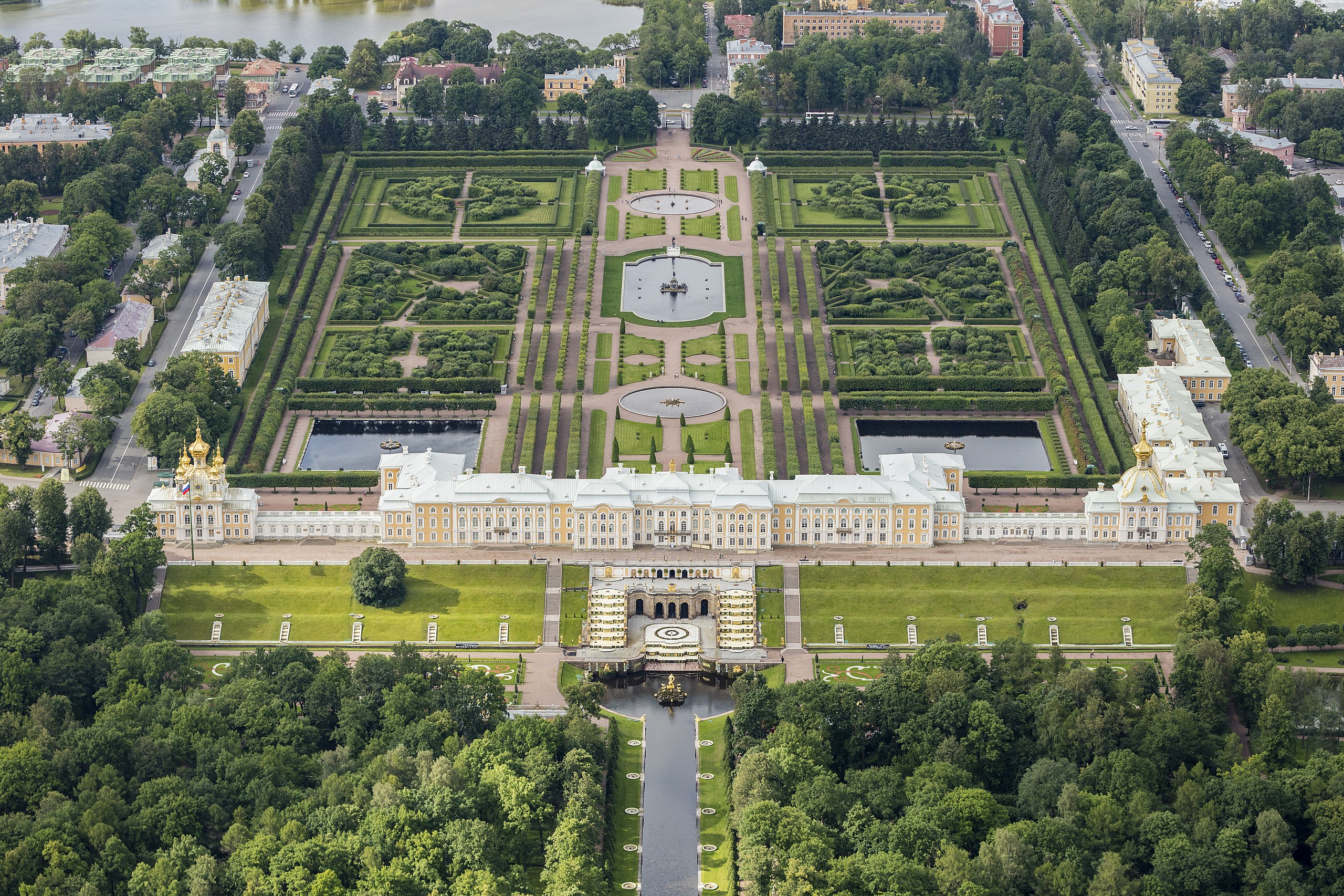
Das Schloss Peterhof (russisch Большой петергофский дворец Bolschoi Petergofski Dworez, deutsch ‚Großes Peterhofer Schloss‘, früher auch russisch Петродворец Petrodworez, deutsch ‚Peterhof‘) ist eine ehemalige Sommerresidenz der russischen Zaren am Finnischen Meerbusen in Peterhof, etwa 25 km westlich von Sankt Petersburg.
Die Anlage entstand anlässlich des russischen Sieges im Großen Nordischen Krieg nach dem architektonischen Vorbild von Schloss Versailles und nach eigenhändigen Entwürfen Peters des Großen. Schloss und Park wurden in mehreren Abschnitten von 1715 bis 1755 nach Plänen von Johann Friedrich Braunstein, Jean-Baptiste Alexandre Le Blond, Nicola Michetti und Bartolomeo Francesco Rastrelli im Stil des Barocks erbaut.[1]
Im Zweiten Weltkrieg wurde Peterhof zerstört und danach von sowjetischen Restauratoren wiederaufgebaut. Das auch „russisches Versailles“ genannte Ensemble gehört seit 1990 zum UNESCO-Welterbe und seit 2008 zu den Sieben Wundern Russlands.
彼得霍夫宫(俄语:Петерго́ф)[1]是位于俄罗斯圣彼得堡彼得宫城的一组宫殿建筑,设计者是彼得大帝。作为夏宫使用。彼得霍夫宫和其花园有时被称为“俄罗斯的凡尔赛宫”。现在彼得霍夫宫被列为世界文化遗产。


 Companies
 Ships and Nautics

 Energy resource
Energy resource
Energy resource
 *Electrical power
Energy resource
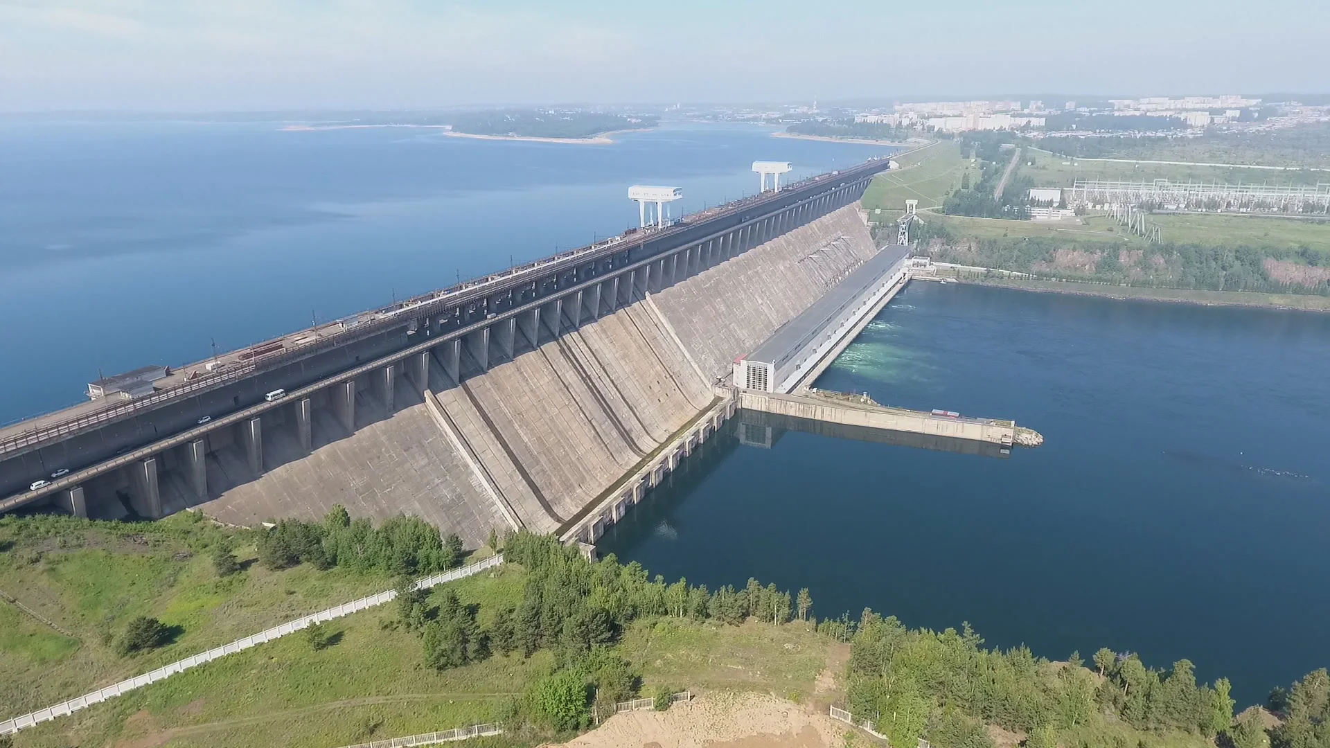
Hydroelectric power plants
Erneuerbare Energie
Hydropower
Russia
*Electrical power
Energy resource
Hydroelectric power plants
Erneuerbare Energie
Hydropower
Russia
 Energy resource
*Electrical power
Energy resource
Hydroelectric power plants
Erneuerbare Energie
Hydropower
Russia
Energy resource
Energy resource
*Electrical power
Energy resource
Hydroelectric power plants
Erneuerbare Energie
Hydropower
Russia
 Amur Oblast


