
漢德百科全書 | 汉德百科全书
 Vorarlberg


 Auvergne-Rhône-Alpes

 Baden-Wuerttemberg

 Bavaria
 Germany
 France

 Friuli-Venezia Giulia
 Italy
Italy
 Liechtenstein

 Lombardia
 Monaco
 Austria

 Piemonte

 Provence-Alpes-Côte d´Azur
 Switzerland
 Slovenia

 Tyrol
Tyrol

 Trentino-Alto Adige

 Valle d´Aosta

 Veneto

 Vorarlberg
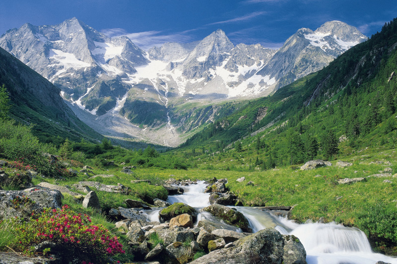
Die Alpen sind das höchste Gebirge im Inneren Europas. Es erstreckt sich in einem 1200 Kilometer langen und zwischen 150 und 250 Kilometer[1] breiten Bogen vom Ligurischen Meer bis zum Pannonischen Becken.
Die gesamte Alpenregion nimmt eine Fläche von etwa 200.000 Quadratkilometern ein.[2] Sie dehnt sich etwa 750 km von West nach Ost und ca. 400 km von Süd nach Nord aus und wird vom Rhonetal, dem Schweizer Mittelland, dem Oberlauf der Donau, der Kleinen Ungarischen Tiefebene, der Po-Ebene und dem Golf von Genua umgrenzt.
Der Alpenbogen schließt im Südwesten am Golf von Genua an den Apennin an, umfasst die Po-Ebene, verzweigt sich zum Französischen und Schweizer Jura und endet fächerförmig im Osten vor dem westpannonischen Berg- und Hügelland. Im Nordosten an der Donau bei Wien sind die Alpen durch das Wiener Becken von den geologisch verwandten Karpaten getrennt, im Südosten gehen sie in das stark verkarstete Dinarische Gebirge über. Im Norden fallen die Alpen allmählich zum österreichischen und deutschen Alpenvorland ab. Im Süden ist der Abfall zur Po-Ebene steiler. Der Gebirgszug, zu dem die Alpen gehören, erstreckt sich vom afrikanischen Atlas bis nach Südostasien.[3]
Die Gipfelhöhen in den westlichen Gebirgsstöcken liegen meist zwischen 3000 und 4300 Meter über dem Meeresspiegel, in den Ostalpen sind die Berge etwas niedriger. Der höchste Gipfel der Alpen ist der Mont Blanc mit 4810 Metern. 128 Berge der Alpen sind Viertausender, etliche Berge mehr oder weniger vergletschert. Die Alpen sind in zahlreiche Gebirgsgruppen und -ketten gegliedert.
Die Alpen bilden im „Herzen Europas“[4] eine wichtige Klima- und Wasserscheide. Sie trennen den zentralen Mittelmeerraum mit dem Etesienklima vom atlantisch beeinflussten nördlichen Mitteleuropa und stehen am Ostrand unter kontinentalem Einfluss. Auch die Entwässerung folgt diesen Großrichtungen zu Mittelmeer, Nordsee und Schwarzem Meer.
Der Alpenraum umfasst Gebiete der acht Alpenstaaten Frankreich, Monaco, Italien, Schweiz, Liechtenstein, Deutschland, Österreich und Slowenien. Er bildet den Lebensraum von 13 Millionen Menschen und genießt europäische Bedeutung als Erholungsraum.[4] Ungarn hat Anteile an Mittelgebirgen, die zu den Alpen gezählt werden, beispielsweise an Günser und Ödenburger Gebirge, wird in der Regel jedoch nicht zum Alpenraum gezählt. Seit der Frühgeschichte stellen Alpentäler und -pässe auch wichtige transeuropäische Verkehrsverbindungen dar.
欧洲南部高大的山脉。西起法国尼斯附近地中海海岸,呈弧形向北、东延伸,经意大利北部、瑞士南部、列支敦士登、德国西南部,东止奥地利的维也纳盆 地。总面积约22万平方千米。长约1200千米,宽130~260千米,东宽西窄。平均海拔3000米左右。 山脉主干向西南方向延伸为比利牛斯山脉,向南延伸为亚平宁山脉,向东南方向延伸为迪纳拉山脉,向东延伸为喀尔巴阡山脉。阿尔卑斯山脉可分为3段。西段西阿 尔卑斯山从地中海岸,经法国东南部和意大利的西北部,到瑞士边境的大圣伯纳德山口附近,为山系最窄部分,也是高峰最集中的山段。勃朗峰(4810米)是整 个山脉的最高点,位于法国和意大利边界。中段中阿尔卑斯山,介于大圣伯纳德山口和博登湖之间,宽度最大。有马特峰(4479米)和蒙特罗莎峰( 4634米)。东段东阿尔卑斯山在博登湖以东,海拔低于西、中两段阿尔卑斯山。
阿尔卑斯山(德语:Alpen;法语:Alpes;意大利语:Alpi;斯洛文尼亚语:Alpe)是一座位于欧洲中心的山脉,它覆盖了意大利北部边界、法国东南部、瑞士、列支敦士登、奥地利、德国南部及斯洛文尼亚。它可以被细分为三个部分,从地中海到勃朗峰的西阿尔卑斯山,从瓦莱达奥斯塔到布伦纳山口(奥地利和意大利交界处)的中阿尔卑斯山,从布伦纳山口到斯洛文尼亚的东阿尔卑斯山。欧洲许多大河都发源于此,水力资源丰富,为旅游、度假、疗养胜地。
阿尔卑斯山共有128座海拔超过4000米的山峰,其中最高峰勃朗峰海拔4810.45米[1],位于法国和意大利的交界处。山脉呈弧形,长1200千米,宽130~260千米,平均海拔约3000米,总面积约22万平方千米[2]。阿尔卑斯山北边是水汽较多的气候,而南边则较为干燥,雨量很少。
アルプス山脈(アルプスさんみゃく、羅: Alpes アルペース、仏: Alpes、伊: Alpi、独: Alpen、英: Alps)は、アルプス・ヒマラヤ造山帯に属し、ヨーロッパ中央部を東西に横切る「山脈」である。オーストリア、スロベニアを東端とし、イタリア、ドイツ、リヒテンシュタイン、スイス各国にまたがり、フランスを南西端とする多国にまたがっている。アルプ(スイスの高山山腹の夏季放牧場;英語: alp,フランス語: alpe,ドイツ語: Alpe)がいっぱいであるからアルプスであると考える説と、ケルト語の alp「岩山」を語源とし、ラテン語を経由したと考える説がある。最高峰のモンブランは標高4,810.9m(2007年)で、フランスとイタリアの国境をなし、ヨーロッパの最高峰[1]でもある。
アルプス山脈はヨーロッパの多数の河川の水源地となっており、ここからドナウ川、ライン川、ローヌ川、ポー川、といった大河川が流れ出て、それぞれ黒海、北海、地中海、アドリア海へと注ぐ。
The Alps (/ælps/; French: Alpes [alp]; German: Alpen [ˈalpn̩]; Italian: Alpi [ˈalpi]; Romansh: Alps; Slovene: Alpe [ˈáːlpɛ]) are the highest and most extensive mountain range system that lies entirely in Europe,[2][note 1] stretching approximately 1,200 kilometres (750 mi) across eight Alpine countries (from west to east): France, Switzerland, Italy, Monaco, Liechtenstein, Austria, Germany, and Slovenia.[3] The mountains were formed over tens of millions of years as the African and Eurasian tectonic plates collided. Extreme shortening caused by the event resulted in marine sedimentary rocks rising by thrusting and folding into high mountain peaks such as Mont Blanc and the Matterhorn. Mont Blanc spans the French–Italian border, and at 4,810 m (15,781 ft) is the highest mountain in the Alps. The Alpine region area contains about a hundred peaks higher than 4,000 metres (13,000 ft).
The altitude and size of the range affects the climate in Europe; in the mountains precipitation levels vary greatly and climatic conditions consist of distinct zones. Wildlife such as ibex live in the higher peaks to elevations of 3,400 m (11,155 ft), and plants such as Edelweiss grow in rocky areas in lower elevations as well as in higher elevations. Evidence of human habitation in the Alps goes back to the Palaeolithic era. A mummified man, determined to be 5,000 years old, was discovered on a glacier at the Austrian–Italian border in 1991.
By the 6th century BC, the Celtic La Tène culture was well established. Hannibal famously crossed the Alps with a herd of elephants, and the Romans had settlements in the region. In 1800, Napoleon crossed one of the mountain passes with an army of 40,000. The 18th and 19th centuries saw an influx of naturalists, writers, and artists, in particular, the Romantics, followed by the golden age of alpinism as mountaineers began to ascend the peaks.
The Alpine region has a strong cultural identity. The traditional culture of farming, cheesemaking, and woodworking still exists in Alpine villages, although the tourist industry began to grow early in the 20th century and expanded greatly after World War II to become the dominant industry by the end of the century. The Winter Olympic Games have been hosted in the Swiss, French, Italian, Austrian and German Alps. At present, the region is home to 14 million people and has 120 million annual visitors.[4]
Les Alpes (prononcé [alp]) sont une chaîne de montagnes qui s'étend en Europe, recouvrant la frontière nord de l'Italie, le Sud-Est de la France, Monaco, la Suisse, le Liechtenstein, l'Autriche, le Sud de l'Allemagne et la Slovénie.
Les Alpes culminent à 4 809 mètres, au sommet du mont Blanc. On recense 82 sommets majeurs de plus de 4 000 m d'altitude (Suisse : 48, Italie : 38, France : 24). Les cols de montagne reliant les vallées ou les pays dépassent souvent les 2 000 m d'altitude. Les Alpes forment une barrière de 1 200 km entre la Méditerranée et le Danube.
Le Alpi sono la catena montuosa più importante d'Europa, situate nell'Europa centrale a cavallo dei confini di Italia, Francia, Svizzera, Liechtenstein, Germania, Austria, Slovenia e Ungheria, separando l'Europa settentrionale da quella meridionale con lo stivale italiano. Suddivise in varie sezioni e svariati sottogruppi racchiudono in sé le vette più alte del continente centrale europeo, rivestendo anche un'importanza storica, naturalistica, idrografica e turistico-economica per i rispettivi paesi.
Los Alpes son una importante cadena de montañas situada en la Europa Central. Su cumbre más alta es el Mont Blanc, con 4.810 metros de altitud. Alrededor de los Alpes, favorecidos por ríos importantes de caudal uniforme y ricas tierras de cultivo, se ubicaron desde la prehistoria diversos pueblos, principalmente celtas, como los borgoñones, leucos, lombardos, helvecios, y posteriormente germánicos en el noreste y pueblos itálicos después de la conquista de la Galia Cisalpina por Julio César. Actualmente viven unos 14 millones de personas en la región de los Alpes.
А́льпы (фр. Alpes, нем. Alpen, итал. Alpi, романш. Alps, словен. Alpe) — самый высокий и протяжённый горный хребет среди систем, целиком лежащих в Европе. При этом Кавказские горы выше, а Уральские — протяжённей, но они лежат также и на территории Азии (в зависимости от выбранного определения границы между Европой и Азией).
Альпы представляют собой сложную систему хребтов и массивов, протянувшуюся выпуклой к северо-западу дугой от Лигурийского моря до Среднедунайской низменности. Альпы располагаются на территории 8 стран: Франции, Монако, Италии, Швейцарии, Германии, Австрии, Лихтенштейна и Словении. Общая длина альпийской дуги составляет около 1200 км (по внутреннему краю дуги — около 750 км), ширина — до 260 км. Самой высокой вершиной Альп является гора Монблан высотой 4810 метров над уровнем моря, расположенная на границе Франции и Италии[1]. Всего в Альпах сосредоточено около 100 вершин-четырёхтысячников[2].
Альпы являются международным центром альпинизма, горнолыжного спорта и туризма. Туризм в Альпах начал активно развиваться в XX веке и получил большой толчок после окончания Второй мировой войны, став одним из главных направлений в конце столетия. Пять стран из восьми (Швейцария, Франция, Италия, Австрия и Германия) были хозяйками Зимних Олимпийских игр, которые проводились в альпийских объектах[3]. Несмотря на активное развитие туризма, в альпийском регионе по-прежнему существует самобытная традиционная культура, включая сельское хозяйство, деревообработку и сыроварение.
Благодаря расположению в центре Западной Европы, Альпы являются одной из наиболее изученных горных систем. Многие понятия названы по имени Альп, в частности, альпийский климатический пояс, период альпийской складчатости, альпийский тип рельефа, альпийские луга, альпинизм.


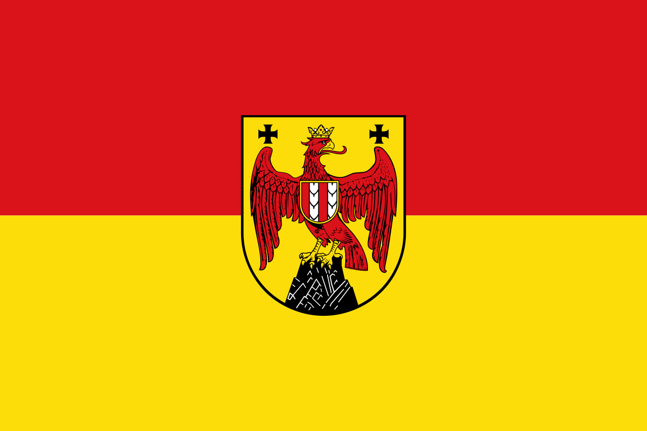 Burgenland

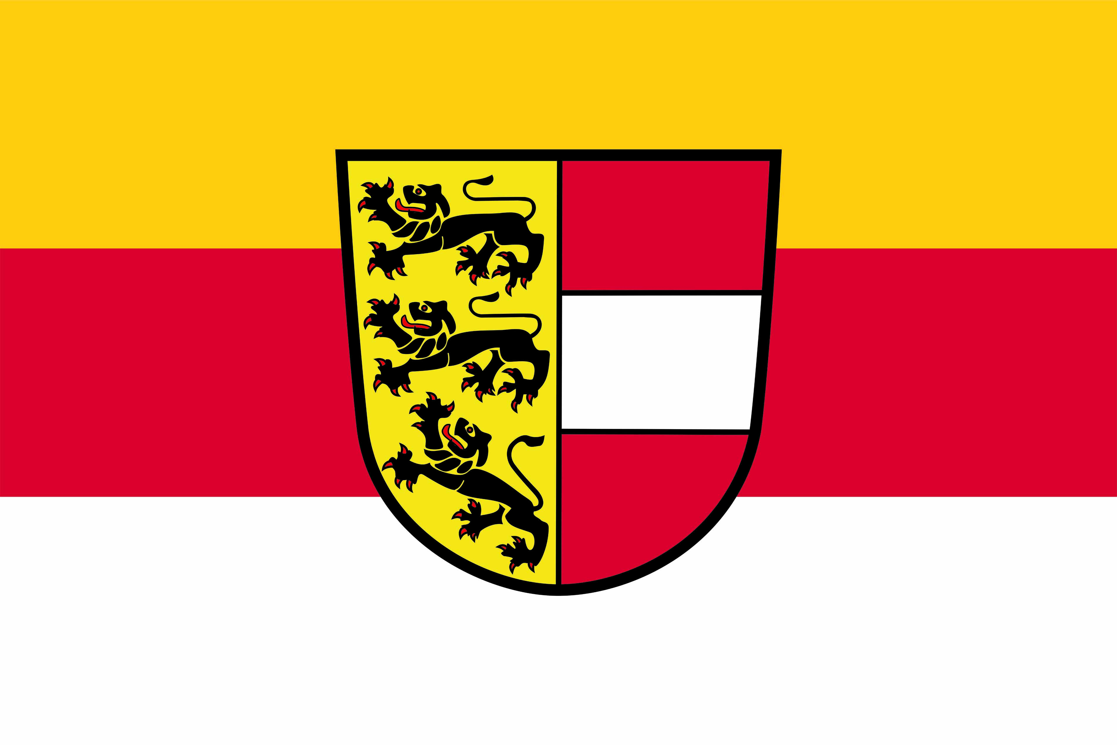 Carinthia

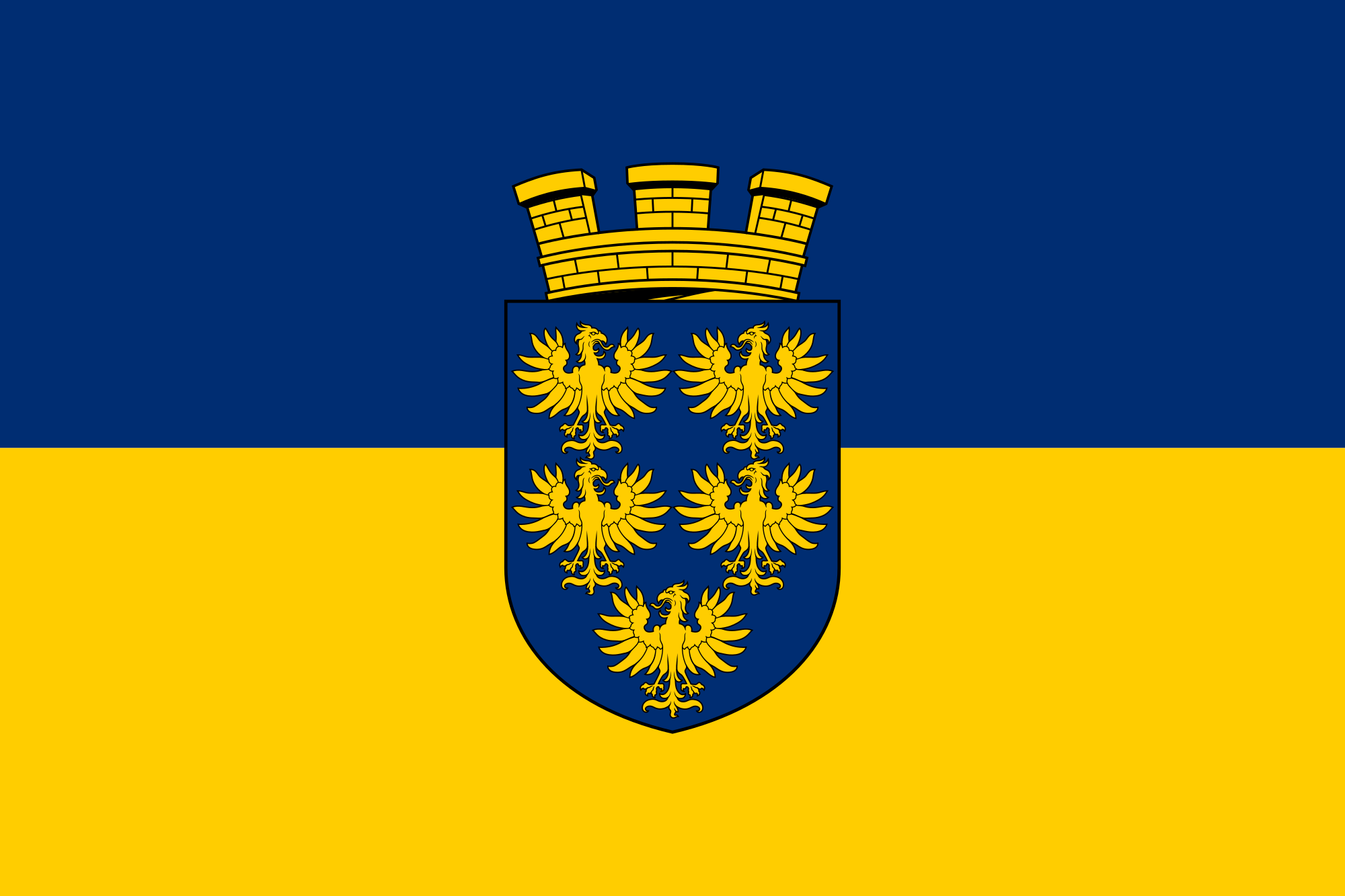 Lower Austria

 Upper Austria
 Austria

 Salzburg

 Sport
Sport

 Styria

 Tyrol
Tyrol

 Vorarlberg

 Vienna


 Burgenland

 Carinthia

 Lower Austria

 Upper Austria
 Austria

 Salzburg

 Styria

 Tyrol
Tyrol

 Companies
 Germany, Austria, Switzerland

 Vorarlberg

 Vienna
 *Chamber of commerce
 *Austrian Chamber of Commerce

 Burgenland

 Carinthia

 Lower Austria

 Upper Austria
 Austria

 Salzburg

 Styria

 Tyrol
Tyrol

 Vorarlberg

 Vienna

 Economy and trade
 Chamber of Commerce and Industry
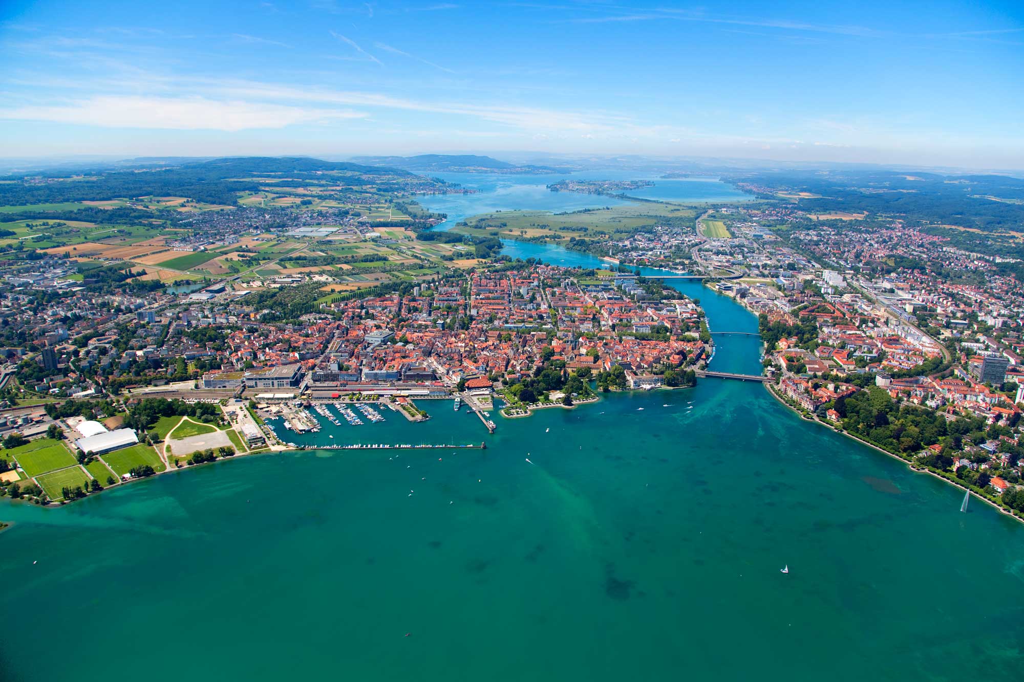

Die Bezeichnung Bodensee steht für zwei Seen und einen sie verbindenden Flussabschnitt des Rheins, nämlich den Obersee (auch alleine Bodensee genannt), den Seerhein und den Untersee. Der Bodensee liegt im Bodenseebecken, das Teil des nördlichen Alpenvorlandes ist, und wird vom Rhein durchflossen.
Dieser Artikel behandelt neben dem Bodensee selbst auch die umgebende Bodenseeregion, die sich je nach räumlicher Definition weit ins Hinterland erstreckt.
Drei Staaten haben Anteil an Bodensee und Bodenseeregion: Deutschland, Österreich und die Schweiz. Während es im Untersee eine anerkannte Grenzziehung zwischen Deutschland und der Schweiz gibt, wurde von den Anrainerstaaten des Obersees nie einvernehmlich eine Grenze festgelegt.
博登湖地处瑞士、奥地利、德三国交界处,是德国境内最大的湖泊,也是风景优美的旅游地。 旅游者可从岛城林道出发游览博登湖。在林道你首先看到的是残堡曼格塔。哥特式建筑旧市政厅,罗马式建筑圣彼得教堂、富藏美术作品的卡瓦尚之屋等。在距林道不远的奥地利城市布雷根茨,每年7,8月间的歌剧节非常有名。在与瑞士交界处的罗尔沙赫,当年玉米市场的遗迹赫然在目。圣加仑大修道院藏有丰富的图书。康斯坦茨有博登湖畔大学城之称,其尼德堡老区街道窄小曲折又错综复杂,如同迷宫。沿莱茵河南下到博登湖西岸,可以欣赏莱茵河道从150米渐次降低 21米的壮观景象。湖中赖谢瑙岛有堤与德国本土相连,是德国最重要的园艺中心。梅尔斯堡是德国境内保存最完善的中世纪城市,这里有德国最古老的城堡之一古堡,还有以壮丽堂皇的楼梯而闻名的新堡。
博登湖(德语:Bodensee),也称康斯坦茨湖(英语:Lake Constance),位于瑞士、奥地利和德国三国交界处,由三国共同管理,湖区景色优美,风景迷人。博登湖由三部分:上湖(Obersee)、下湖(Untersee)和Seerhein组成。
ボーデン湖(ドイツ語: Bodensee)はドイツ、オーストリア、スイスの国境に位置する湖。コンスタンツ湖とも称される[1]。アルプス地方ではレマン湖についで第二の規模で、面積は約536平方キロ[2]。ボーデン湖の湖畔には、コンスタンツ、フリードリヒスハーフェン、リンダウ(以上はドイツ)や、ブレゲンツ(オーストリア)などが位置しており、多くの観光客を集めている。湖畔でブドウが栽培されており、沿岸地域ではワイン生産が盛んである。ボーデン湖にはライン川が流れ込んでおり、ここからさらにドイツへと流出していく。ボーデン湖を出て間もなく激流となり、ライン滝へと一気に流れ込む。ライン川への流出とは別に、ボーデン湖の水はドイツで有効に活用されている。パイプラインを通じてシュトゥットガルトなどの工業都市へと運ばれ、工業用水などに用いられる。
湖にうかぶ島、マイナウ島は島全体が庭園となっており、花の島ともよばれる。マイナウ城や様々な庭園が観光地となっている。同じく湖に浮かぶライヒェナウ島は世界遺産に登録されている。
Lake Constance (German: Bodensee) is a lake on the Rhine at the northern foot of the Alps, and consists of three bodies of water: the Obersee or Upper Lake Constance, the Untersee or Lower Lake Constance, and a connecting stretch of the Rhine, called the Seerhein. These waterbodies lie within the Lake Constance Basin (Bodenseebecken), which is part of the Alpine Foreland and through which the Rhine flows.[2][3]
The lake is situated where Germany, Switzerland, and Austria meet. Its shorelines lie in the German states of Bavaria and Baden-Württemberg, the Swiss cantons of St. Gallen, Thurgau, and Schaffhausen, and the Austrian state of Vorarlberg. The Rhine flows into the lake from the south, with its original course forming the Austro-Swiss border, and has its outflow on the "Lower Lake" where — except for Schaffhausen — it forms the German-Swiss border until the city of Basel.[4][5]
The most populous cities on the lake are Constance (German: Konstanz), Friedrichshafen, Radolfzell am Bodensee, Bregenz, and Lindau (Bodensee). The largest islands are Reichenau in the Lower Lake, and Lindau and Mainau in the Upper Lake.
Le lac de Constance (Bodensee en allemand) est un ensemble de plusieurs plans d'eau situés au nord des Alpes, à la frontière entre l'Allemagne, la Suisse et l'Autriche, alimenté principalement par le Rhin.
Il lago di Costanza, o lago Bodanico, (in tedesco Bodensee, conosciuto anche come Schwäbisches Meer, Lacus Venetus per i Romani) è un lago sul fiume Reno, posto al confine tra Germania, Svizzera e Austria.
El lago de Constanza (en alemán, Bodensee) está rodeado por Alemania, Austria y Suiza. Su superficie es de 536 km² y el nivel medio está a 395 m de altitud. El río Rin entra en el lago por el sureste cerca de Bregenz (Austria) y sale del lago por el oeste en Stein am Rhein (Suiza).1
En su área de influencia viven alrededor de 2,5 millones de personas, mayoritariamente de habla alemana. Constanza es la ciudad más grande, a orillas del lago y con más de 83 000 habitantes. Atravesando esta ciudad, el Rin sale del lago, dirigiéndose al mar del Norte. Algunos lugares destacados en sus alrededores son Friedrichshafen, Bregenz, Lindau y Meersburg. En el Lago de Constanza termina la ruta turística arquitectónica Ruta alemana de arquitectura de entramados.
Бо́денское о́зеро (нем. Bodensee; устар. Констанцское озеро[4]) — озеро, находящееся в Предальпах на границе Германии, Швейцарии и Австрии[5]. Говоря о Боденском озере, имеют в виду три водоёма: Верхнее озеро (нем. Obersee), Нижнее озеро (Untersee) и Рейн (Seerhein), который соединяет два этих водоёма.
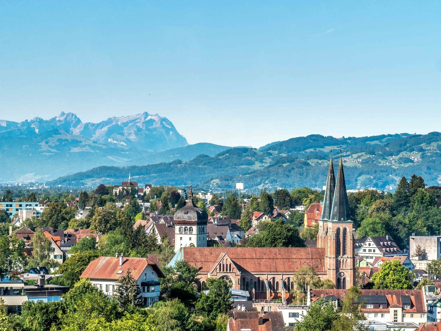

Bregenz (standarddeutsche Aussprache: [ˈbreːɡɛnt͡s],  anhören?/i, vorarlbergerisch: [ˈbreaɡɐt͡s]) (lat. Brigantium) ist die Landeshauptstadt des österreichischen Bundeslandes Vorarlberg und Hauptstadt des gleichnamigen Bezirks. Die Stadt hat den bedeutendsten österreichischen Bodenseehafen, ist Eisenbahnknotenpunkt sowie Sport- und Kulturzentrum. Gemessen an der Einwohnerzahl ist Bregenz nach Dornbirn und Feldkirch die drittgrößte Stadt Vorarlbergs, die Agglomeration ist allerdings mehr als doppelt so groß wie die Stadt selbst.
布雷根茨(德语:Bregenz,德语发音:[ˈbʁeːgɛnt͡s] ( 聆听))是奥地利西部的一座城市,福拉尔贝格州首府,位于欧洲第三大淡水湖博登湖东岸,普芬德山山脚,是莱茵河谷与德国阿尔卑斯山山麓的交汇处。
它最出名的活动,是每年夏季会在博登湖畔举办的布雷根茨音乐节 。
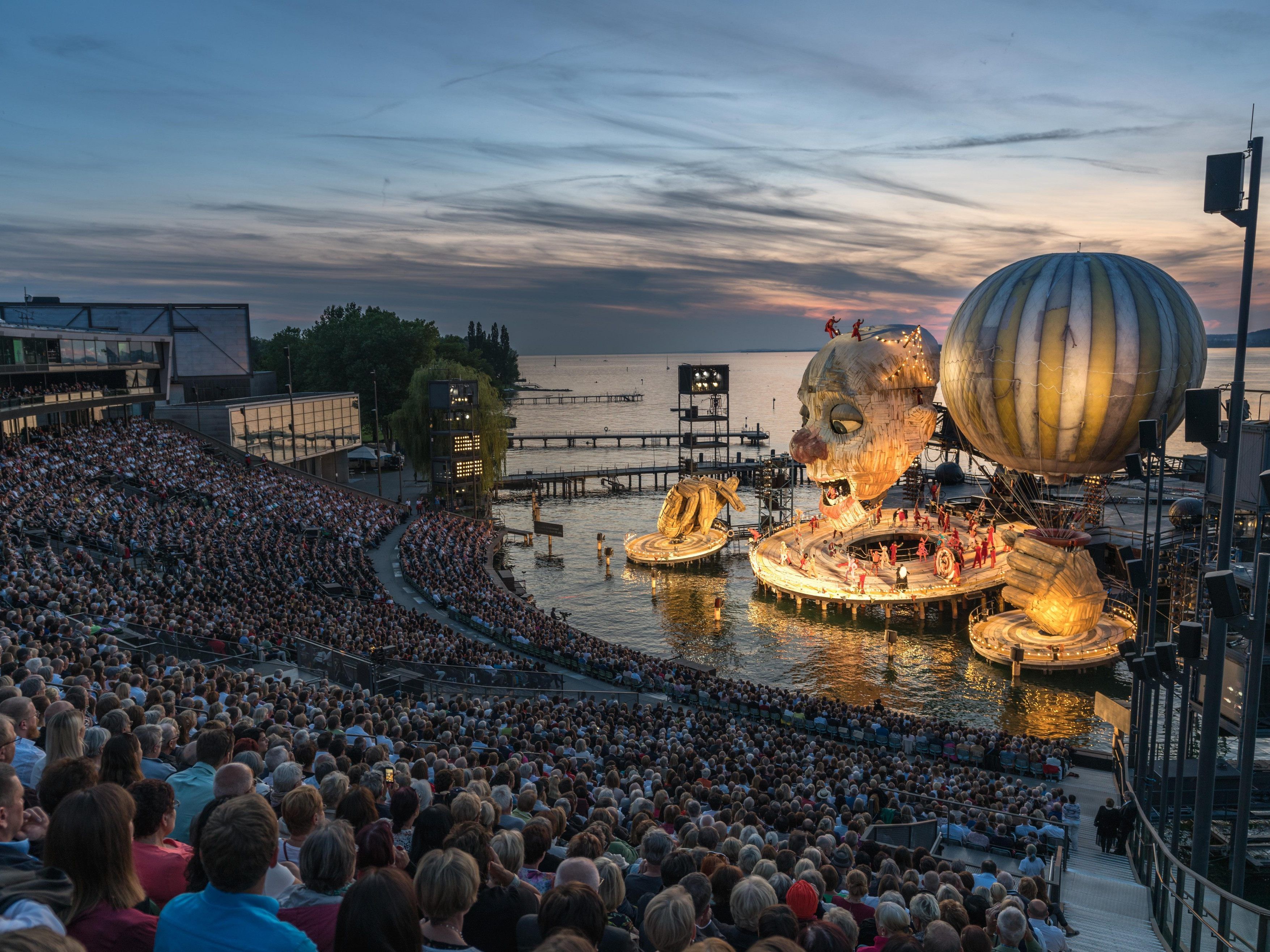
Die Bregenzer Festspiele sind ein Opern-, Musik- und Theaterfestival, das jährlich im Juli und August in der Vorarlberger Landeshauptstadt Bregenz in Österreich stattfindet.
布雷根茨音乐节(德语:Bregenzer Festspiele)是奥地利布雷根茨举办的艺术表演节庆。每年七月至八月间可见主要的展演活动,另外在五月至八月期间皆有售票的导览行程[2]。此节庆源起于1946年,以在博登湖畔举办闻名。
 Architecture
 Transport and traffic
 Geography
 Ski vacation

 Hand in Hand
 Eat and Drink
 International cities
 Music
Music
 Performing Arts