
Deutsch-Chinesische Enzyklopädie, 德汉百科
 Rhode Island-RI



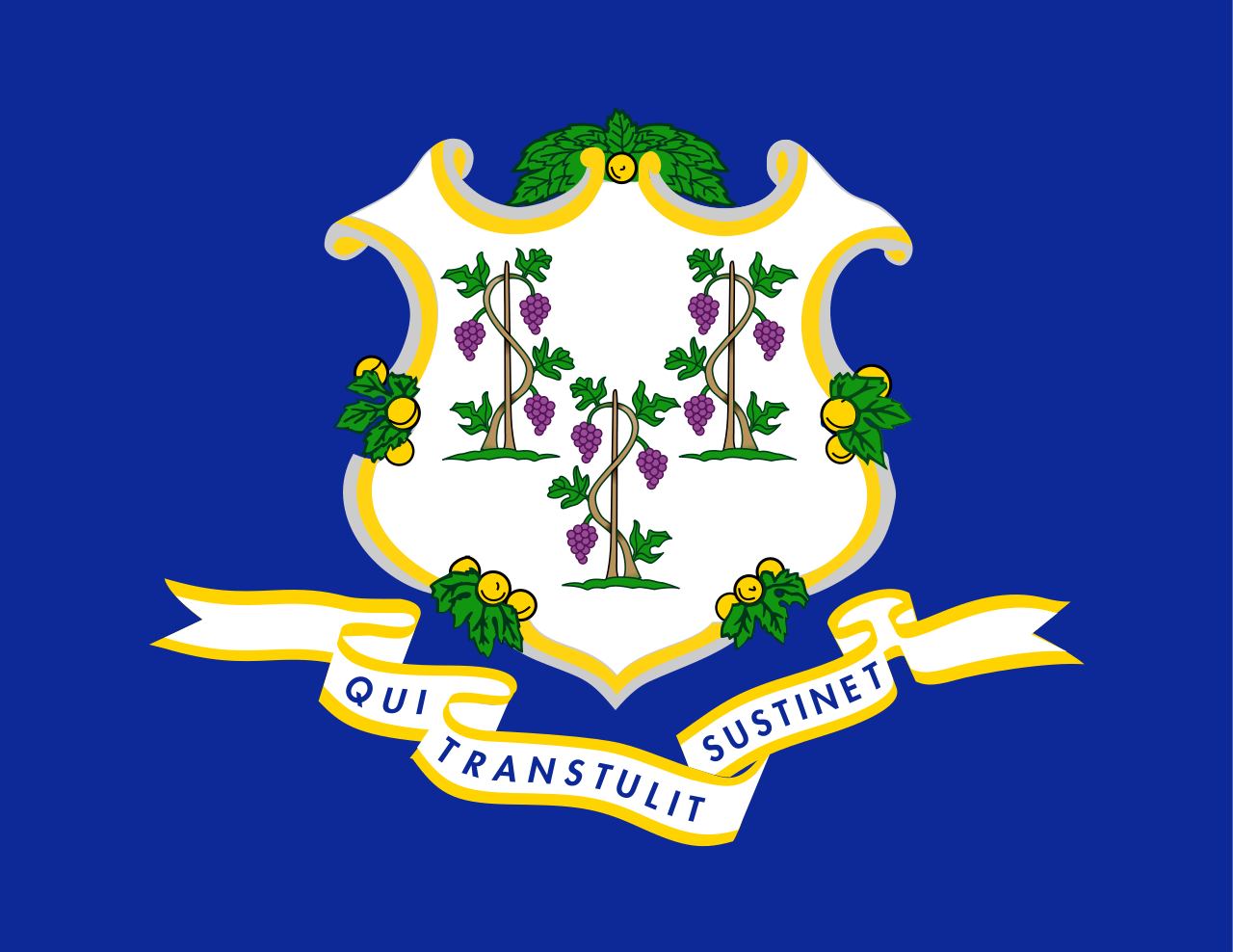 Connecticut-CT

 Geography

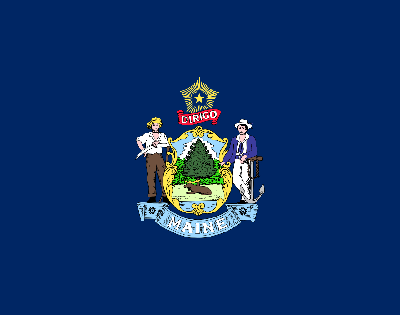 Maine-ME

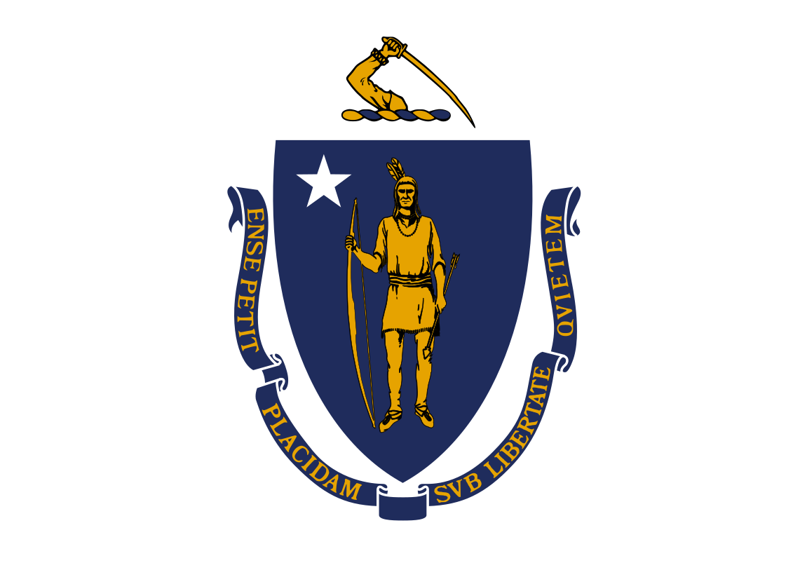 Massachusetts-MA

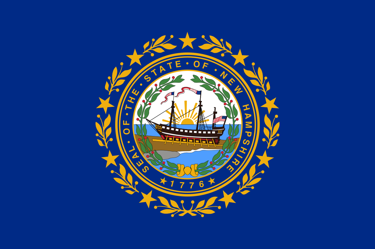 New hampshire-NH

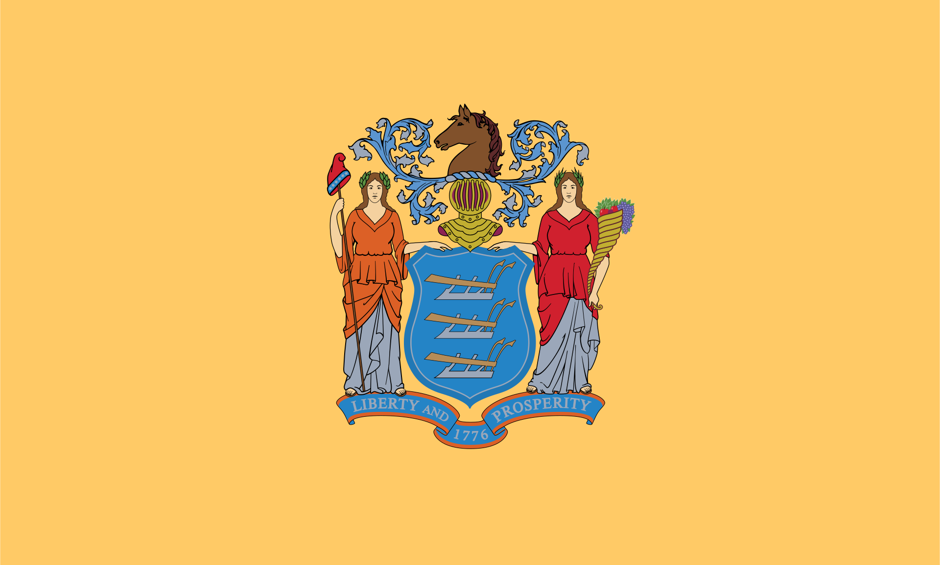 New jersey-NJ

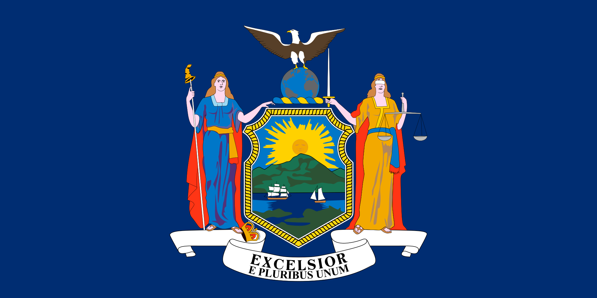 New York-NY

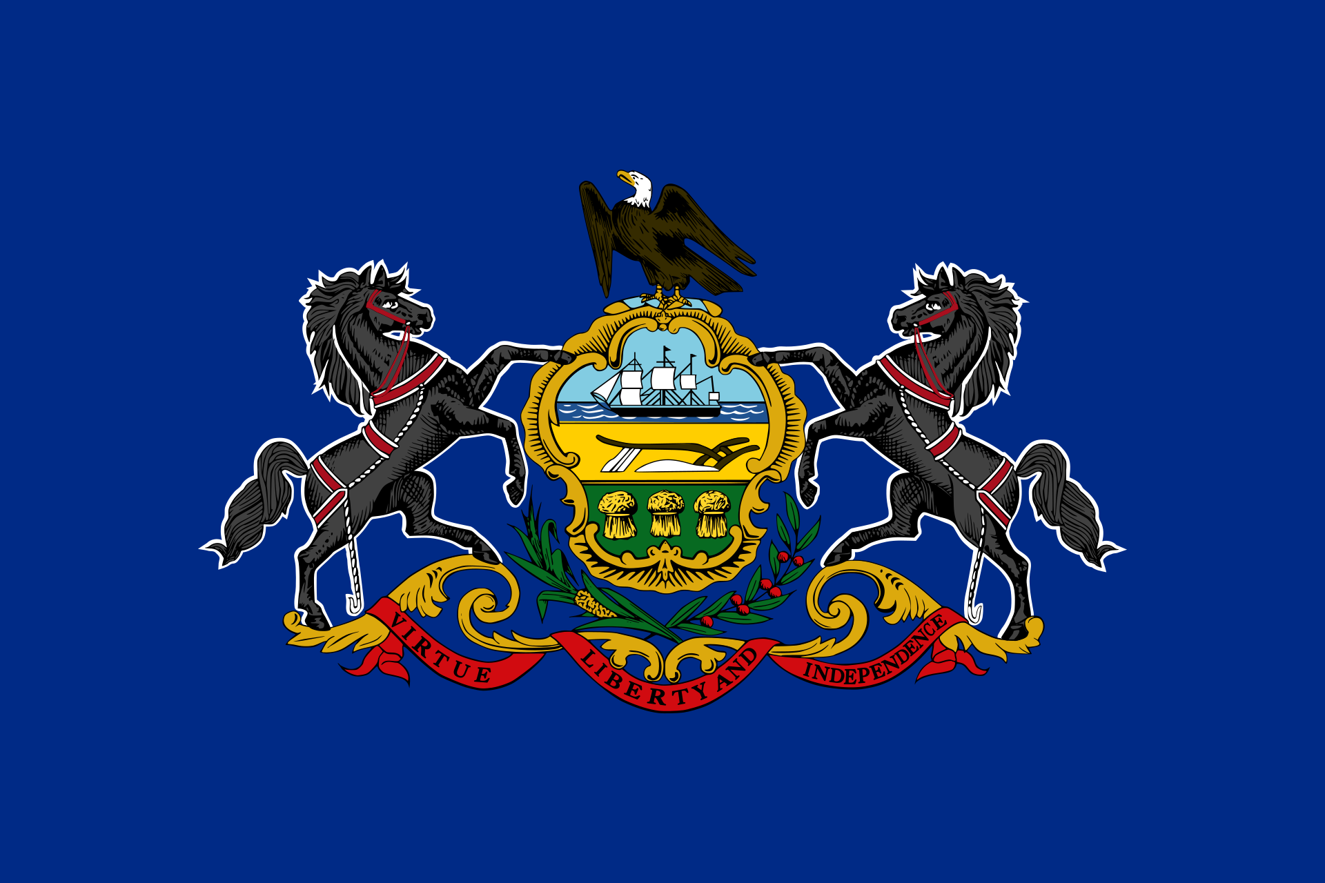 Pennsylvania-PA

 Rhode Island-RI

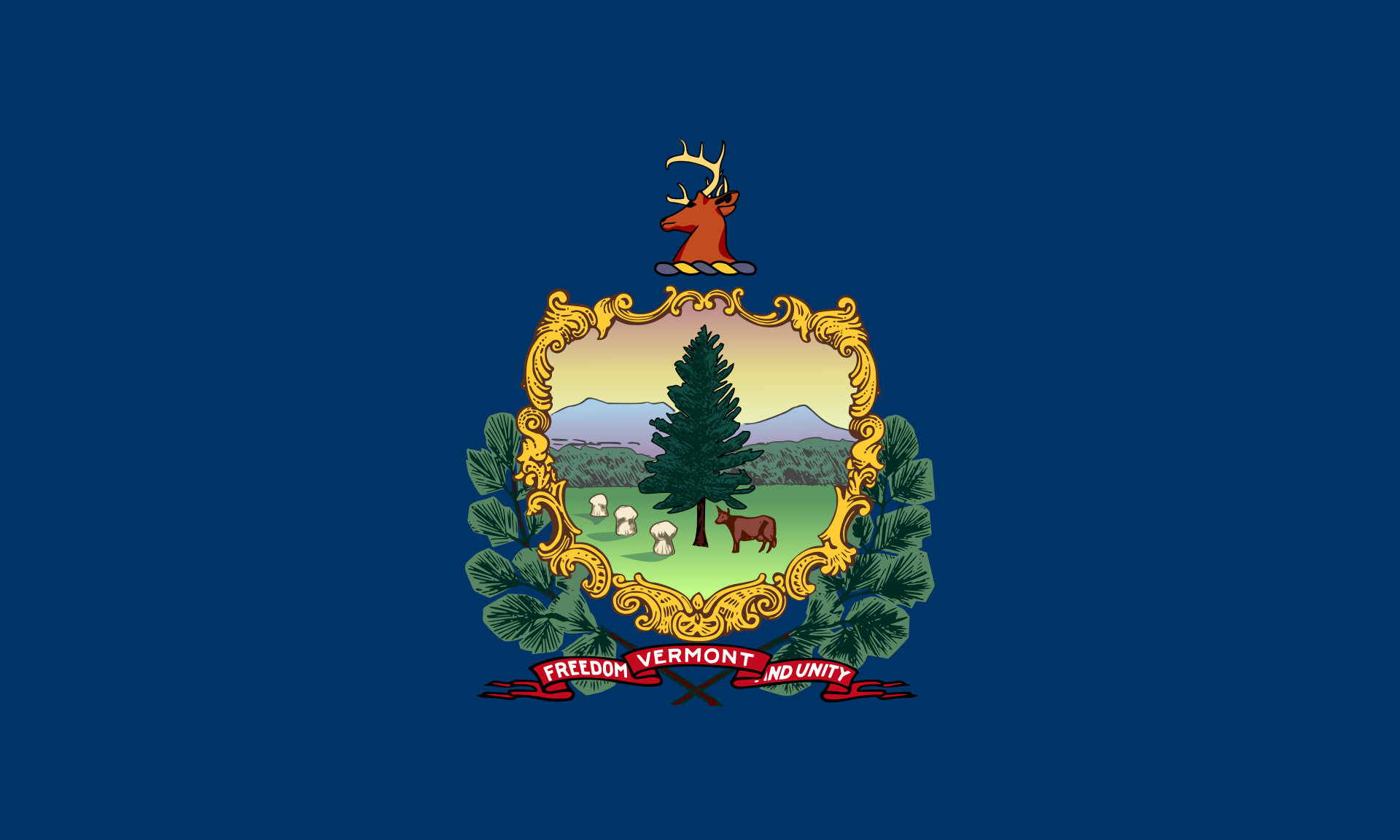 Vermont-VT

 Washington, D.C.

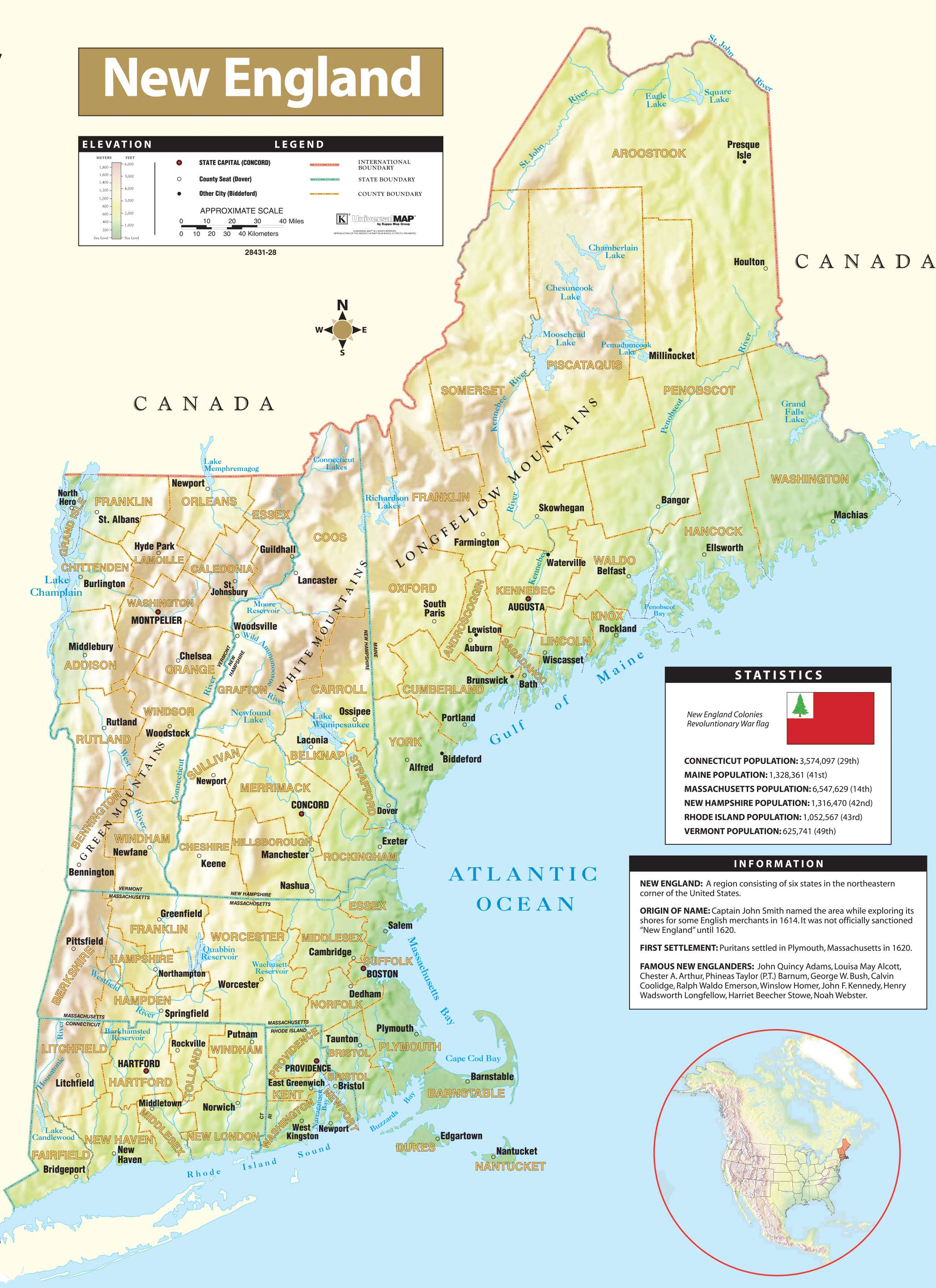
美国东北部为美国人口调查局所定义的美国地区。美国东北部北临加拿大,西临中西部,南接美国南部,东向大西洋。此区域乃美国工商业最发达的区域及都市化程度最高的区域,美国第一大都会纽约市即位于该区。
根据人口调查局的定义,美国的东北部包括9个州:康涅狄格州、缅因州、麻塞诸塞州、新泽西州、新罕布什尔州、纽约州、宾夕法尼亚州、罗得岛州、以及佛蒙特州,东北部还可分为新英格兰以及纽约都会区[1]。有些非官方的较广义之分类会因为这些州被包括在波士顿-华盛顿城市带之中,所以有时会将马里兰州、特拉华州、华盛顿特区、弗吉尼亚州、以及西弗吉尼亚州包含在此区域中(所以会因人而异),但是人口调查局官方将这些州定义为南大西洋地区的一部分[1]。而有些较狭义的分类则只将此区域限制于新英格兰、纽约都会区、及费城地区之中。虽然俄亥俄州的绝大部分地区是被分类在中西部之下,但大克里夫兰地区及俄亥俄州东北部在文化上(因为传统以及语言腔调之关系)被认为比该州其他地区较为倾向美国东北部之文化。
美国东北部是全美最富裕的地区。根据2004年的资料,美国人口调查局的报告显示全美10个最富裕的州里有5个就位于东北部。这五个州依据家庭收入排名为:新泽西州(第一)、康涅狄格州(第二)、马里兰州(第三)、麻塞诸塞州(第五)、以及新罕布什尔州(第六)。根据经济分析局2005年的报告指出,全美前五个每人年均收入最高的州依序为:康涅狄格州、马里兰州、麻塞诸塞州、新泽西州和纽约州。在此区域内,纽约市独占美国2005年国内生产总值的8%。此区域内的州都有着富裕的经济收入,不过多数的州的人口以及面积都其他州小,除了纽约州、新泽西州、与宾夕法尼亚州在全美人口数排前10名之列,没有一个州列居于全美面积前10大之列。
Die Region grenzt im Norden an Kanada, im Westen an den Mittleren Westen, im Süden an die Südstaaten und im Osten an den Atlantik.
Der genaue Umfang der Region ist nicht eindeutig definiert. Nach der Definition des United States Census Bureau[1] besteht der Nordosten aus Neuengland (mit den Staaten Maine, New Hampshire, Vermont, Massachusetts, Rhode Island, Connecticut) und den Mittelatlantikstaaten (New York, New Jersey, Pennsylvania). In diesen insgesamt neun Staaten, die unbestritten dem Nordosten zugerechnet werden, lebten im Jahr 2008 etwa 55,9 Millionen Personen.[2]
Andere Behörden ordnen dem Nordosten auch Maryland, Delaware und Washington, D.C.[3] bzw. sogar Virginia und West Virginia[4] zu. Das United States Census Bureau betrachtet die Staaten südlich der Mason-Dixon-Linie sowie Delaware dagegen als der Region South Atlantic und den Südstaaten zugehörig.

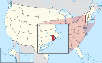
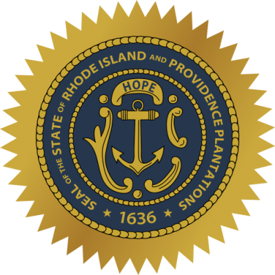
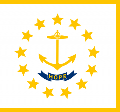
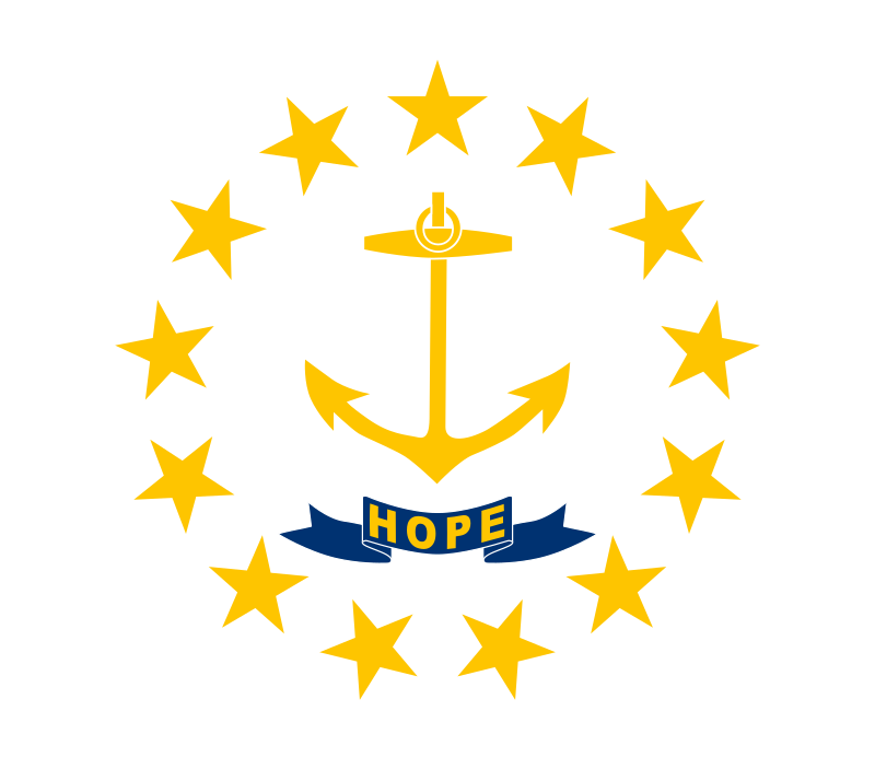
罗得岛州(英语:Rhode Island,![]() i/ˌroʊd -/,Rhode读音和road相似),正式名称为罗得岛和普罗维登斯庄园州(英语:State of Rhode Island and Providence Plantations)是美国面积最小的一个州,也是美国州名最长的州,又译作罗得艾兰州。简称罗州。此州属于美国东北部新英格兰的一部分。也是美国独立革命中的早期13州联盟之一,州旗绘有13颗星韦拉扎诺。
i/ˌroʊd -/,Rhode读音和road相似),正式名称为罗得岛和普罗维登斯庄园州(英语:State of Rhode Island and Providence Plantations)是美国面积最小的一个州,也是美国州名最长的州,又译作罗得艾兰州。简称罗州。此州属于美国东北部新英格兰的一部分。也是美国独立革命中的早期13州联盟之一,州旗绘有13颗星韦拉扎诺。
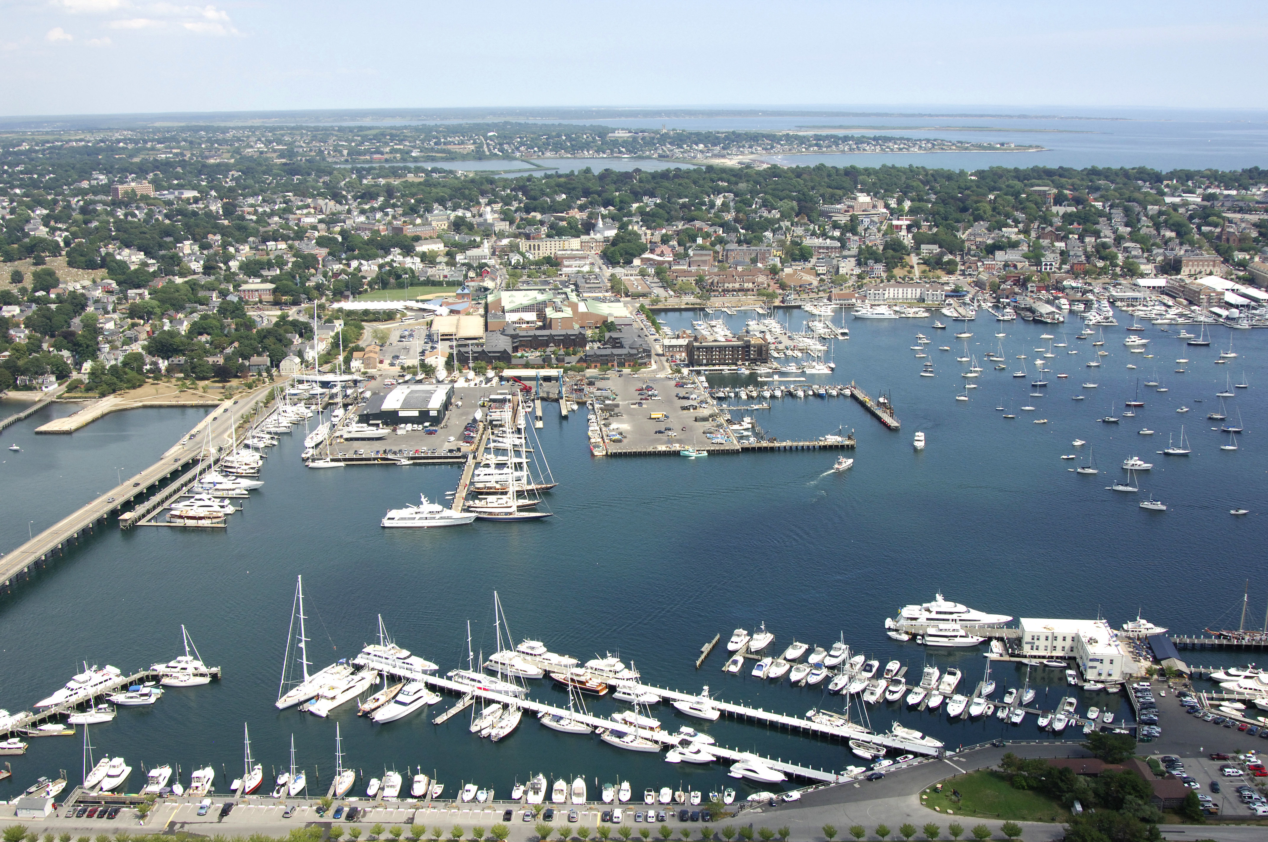
此州下辖五个县,有普罗维登斯县、肯特县、华盛顿县、布里斯多县和新港县。包括了普罗维登斯庄园的主要土地,也就是普罗维登斯县中所有的城镇、罗得岛(也就是地理上的艾奎奈克岛),目前有新港市、米德尔敦与普兹茅斯市三个大城,这些城市大多是港湾。地理上罗得岛州有十分之一的区域为海水覆盖,而且无论从此州的任何地方到海岸线都不超过半小时的车程。所以它的别名是“海洋之州”,州旗与州徽都绘有船锚。
由于罗得岛州的名字上有个“岛”字,许多人都误解本州是个独立岛屿,事实上罗得岛州也有相当大一部分在美国本土。由于罗得岛州全称中的普罗维登斯庄园(Providence Plantations)一词令人错误地以为此名字和奴隶制度有关,故罗得岛州决定在2010年举行公投以决定:继续使用现有州名,或删除现有州名中的“Providence Plantations”一词,结果大部分投票者均支持保留现行州名,最终该州的名称维持不变。
ロードアイランド州(英: State of Rhode Island and Providence Plantations、![]() [ˌroʊd_ˈaɪlɨnd] または [rɵˈdaɪlɨnd])は、アメリカ合衆国東北部、ニューイングランド地方にある州である。州都および人口最大都市は州北部、ナラガンセット湾の湾奥に位置する港湾都市・学術都市プロビデンスである。州全土がプロビデンス大都市圏(大都市統計地域)に含まれている。
[ˌroʊd_ˈaɪlɨnd] または [rɵˈdaɪlɨnd])は、アメリカ合衆国東北部、ニューイングランド地方にある州である。州都および人口最大都市は州北部、ナラガンセット湾の湾奥に位置する港湾都市・学術都市プロビデンスである。州全土がプロビデンス大都市圏(大都市統計地域)に含まれている。
独立時の13州の1つである。全米50州の中で面積最小の州であり、日本における滋賀県と同程度の面積である(滋賀県の面積の大きさは日本国内の47都道府県中38番目と小さい)。Little Rhody(リトル・ローディ)という愛称を持つ。より一般的な愛称は、地形的な理由、すなわち、州内の陸地の奥深くまでナラガンセット湾が入り込んでいることから、観光用パンフレットでよく使われる The Ocean State であり、これは自動車のナンバープレートにも記されている。人口は50州の中で第43位だが、人口密度はニュージャージー州に次いで第2位である。西はコネチカット州に、北と東はマサチューセッツ州に接しており、南西のニューヨーク州ロングアイランドとは海上の州境がある。マサチューセッツ州とともに繁殖力の強い鶏(ロードアイランドレッド)の原産地でもある。
Rhode Island (/ˌroʊd -/ (![]() listen), like road),[6][7] officially the State of Rhode Island and Providence Plantations,[8] is a state in the New England region of the United States. It is the smallest U.S. state by area and the seventh least populous, but it is also the second most densely populated. The state takes its short name from Rhode Island; however, most of the state is located on the mainland. The state has land borders with Connecticut to the west, Massachusetts to the north and east, and the Atlantic Ocean to the south via Rhode Island Sound and Block Island Sound. It also shares a small maritime border with New York.[9] Providence is the state capital and most populous city in Rhode Island.
listen), like road),[6][7] officially the State of Rhode Island and Providence Plantations,[8] is a state in the New England region of the United States. It is the smallest U.S. state by area and the seventh least populous, but it is also the second most densely populated. The state takes its short name from Rhode Island; however, most of the state is located on the mainland. The state has land borders with Connecticut to the west, Massachusetts to the north and east, and the Atlantic Ocean to the south via Rhode Island Sound and Block Island Sound. It also shares a small maritime border with New York.[9] Providence is the state capital and most populous city in Rhode Island.
On May 4, 1776, the Colony of Rhode Island was the first of the Thirteen Colonies to renounce its allegiance to the British Crown,[10] and it was the fourth state to ratify the Articles of Confederation, doing so on February 9, 1778.[11] The state boycotted the 1787 convention which drew up the United States Constitution[12] and initially refused to ratify it;[13] it was the last of the original 13 states to do so on May 29, 1790.[14][15]
Rhode Island's official nickname is "The Ocean State", a reference to the large bays and inlets that amount to about 14 percent of its total area.[2]
Le3 Rhode Island (prononciation en anglais : /ˈɹoʊd ˈaɪ.lənd/, littéralement « Île-de-Rhodes ») est le plus petit État des États-Unis, mais aussi l'un des plus densément peuplés. En 2010, l’État comptait 1 052 567 habitants4. Son nom complet est State of Rhode Island and Providence Plantations5 (« État de Rhode Island et des Plantations de Providence »).
La capitale et la plus grande ville de l'État est Providence. L'État fait partie de la région de la Nouvelle-Angleterre qui se situe dans le nord-est des États-Unis.
Il Rhode Island, ufficialmente Stato del Rhode Island e delle Piantagioni di Providence, è uno stato degli Stati Uniti d'America, nella regione della Nuova Inghilterra. È il più piccolo per superficie, il quarantatreesimo per popolazione e il secondo per densità abitativa, preceduto solo dal New Jersey. La capitale è Providence.
Confina a nord ed a est con il Massachusetts e a ovest con il Connecticut, mentre a sud è delimitato dallo stretto del Rhode Island e dall'oceano Atlantico (ha a sud un confine marino con lo Stato di New York); comprende la pianura attorno alla baia di Narragansett e numerose isole, la maggiore delle quali ha dato il nome allo stato.
Il Rhode Island è stata una delle tredici colonie a dichiarare l'indipendenza dall'Impero britannico, proclamandosi autonomo il 4 maggio 1776, due mesi prima rispetto alle altre colonie. È anche stato l'ultimo dei 13 stati a ratificare la Costituzione degli Stati Uniti.
El Estado de Rhode Island y Plantaciones de Providence (en Inglés: Rhode Island State and Providence Plantations) o simplemente Rhode Island (pronunciación en inglés: /ˈɹoʊd ˈaɪlənd/), es uno de los cincuenta estados que, junto con Washington D. C., forman los Estados Unidos de América. Su capital y ciudad más poblada es Providence. Está ubicado en región Noreste del país, división Nueva Inglaterra, limitando al norte con Massachusetts, al este y sur con el océano Atlántico y al oeste con Connecticut. Con 4002 km² es el estado menos extenso del país, con 263 hab/km², el segundo más densamente poblado —por detrás de Nueva Jersey— y con 1 052 567 habs. en 2010, el octavo menos poblado, por delante de Montana, Delaware, Dakota del Sur, Alaska, Dakota del Norte, Vermont y Wyoming, el menos poblado. Fue admitido en la Unión el 29 de mayo de 1790, como el estado número 13.
Fue la primera de las trece colonias originales en declarar la independencia del dominio británico, marcando el inicio de la Revolución estadounidense. Posteriormente fue la última de las trece en ratificar la Constitución de los Estados Unidos. Es apodada tradicionalmente Little Rhody o "Lil Rhody" ,1 aunque ha adoptado oficialmente el sobrenombre de «El Estado Oceánico» (The Ocean State).2
Род-А́йленд[1][2] (англ. Rhode Island , также The State of Rhode Island and Providence Plantations), официальное название Штат Род-Айленд и плантации Провиденса[3] — штат[4] США, входящий в регион Новая Англия и расположенный на берегу Атлантического океана. Является самым маленьким по площади штатом США, однако по численности населения превосходит семь других штатов.
Род-Айленд был одной из 13 американских колоний, восставших против Англии. Первоначально штат состоял из двух частей: Провиденские плантации (материковая часть штата, крупнейший город — Провиденс) и Остров Род (островная часть, крупнейший город — Ньюпорт).


 Fashion world

 Fashion world
 Fashion Art & Design Institute/College

 Rhode Island-RI

 Universities in the USA


 Alabama-AL

 Alaska-AK

 Arizona-AZ

 California-CA

 Colorado-CO

 Connecticut-CT

 Idaho-ID

 Illinois-IL

 Indiana-IN

 Iowa-IA

 Maine-ME

 Maryland-MD

 Massachusetts-MA

 Michigan-MI

 Minnesota-MN

 Missouri-MO

 Montana-MT

 Nevada-NV

 New hampshire-NH

 New jersey-NJ

 New mexico-NM

 New York-NY

 North Carolina-NC

 North Dakota-ND

 Ohio-OH

 Oregon-OR

 Pennsylvania-PA

 Rhode Island-RI

 South Dakota-SD

 Sport
Sport

 Tennessee-TN

 Texas-TX

 Utah-UT
 United States

 Vermont-VT

 Virginia-VA

 Washington-WA

 West Virginia-WV

 Wisconsin-WI

 Wyoming-WY
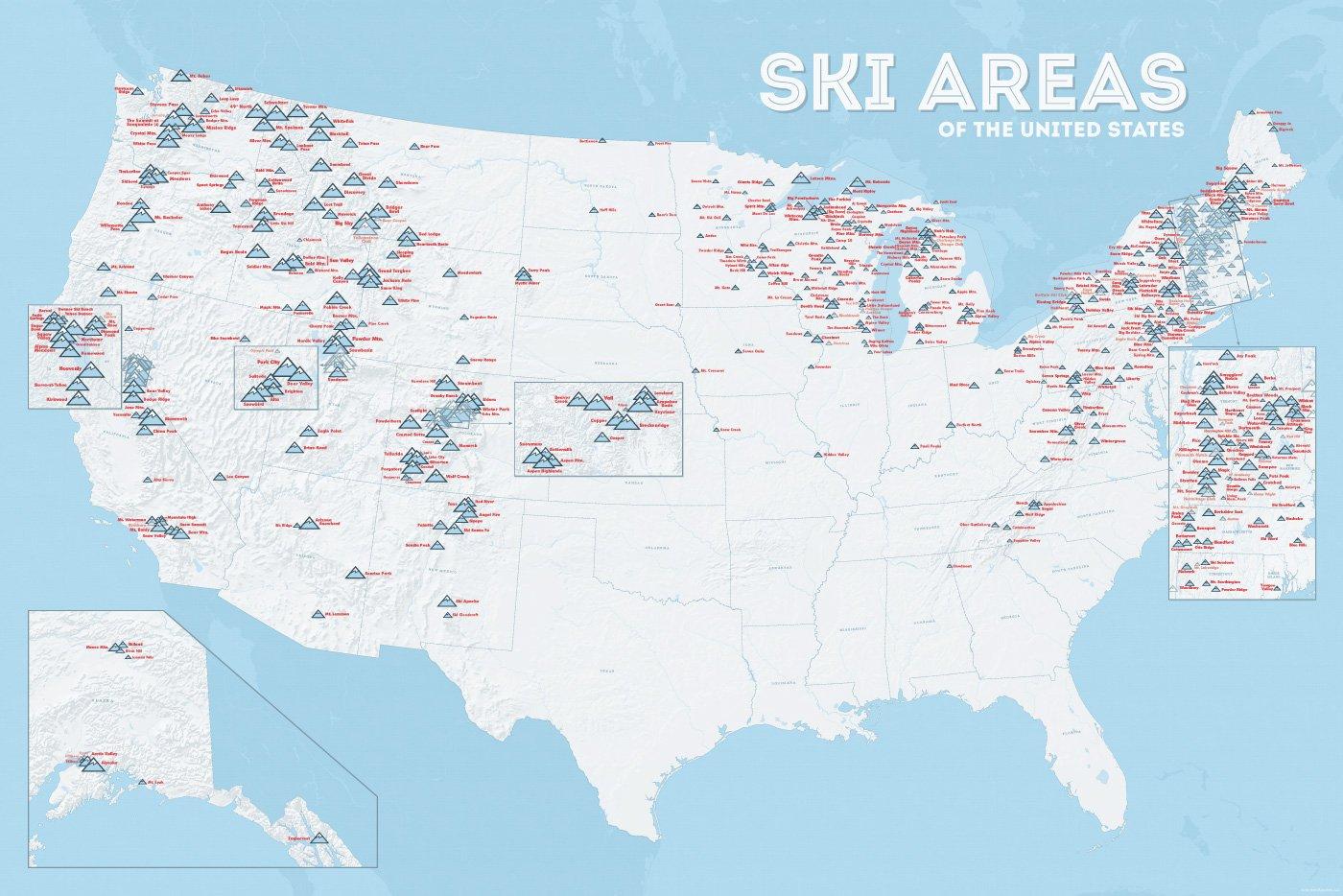
| Name | Orte im Gebiet | Staat | Seehöhe in m |
Liftanlagen1 | Pisten in km |
Weblink | |
| von | bis | ||||||
| Alta Snowbird | Snowbird | Utah | 2365 | 3350 | 1/18/0 | 150 | www.snowbird.com |
| Arapaho Basin | Colorado | 3292 | 3978 | 0/4/0 | 34 | www.arapahoebasin.com | |
| Aspen Highlands | Aspen | Colorado | 2460 | 3536 | 0/5/0 | 58 | www.aspensnowmass.com |
| Aspen Mountain | Aspen | Colorado | 2422 | 3417 | 1/7/0 | 50 | www.aspensnowmass.com |
| Aspen Butermilk | Aspen | Colorado | 2398 | 3013 | 0/5/1 | 34 | www.aspensnowmass.com |
| Aspen Snowmass | Aspen | Colorado | 2473 | 3813 | 2/13/5 | 137 | www.aspensnowmass.com |
| Beaver Creek Resort | Vail/Beaver Creek | Colorado | 2268 | 3478 | 0/15/8 | 152 | www.beavercreek.com |
| Big Sky Resort | Big Sky Village | Montana | 2072 | 3403 | 2/18/2 | 186 | www.bigskyresort.com |
| Breckenridge | Breckenridge | Colorado | 2926 | 3962 | 1/25/25 | 146 | www.snow.com |
| Deer Valley | Deer Valley | Utah | 2003 | 2918 | 1/20/0 | 105 | www.deervalley.com |
| Grand Targhee | Wyoming | 2438 | 3048 | 0/4/0 | 40 | www.grandtarghee.com | |
| Heavenly | Nevada | 1914 | 3039 | 2/17/6 | 89 | www.heavenly.com | |
| Jackson Hole Mountain | Teton Village | Wyoming | 1924 | 3185 | 3/9/0 | 150 | www.jacksonhole.com |
| Keystone | Keystone | Colorado | 2829 | 3782 | 2/16/16 | 116 | www.snow.com |
| Klamath Falls | Oregon | n/a | n/a | n/a | n/a | www.oregon.com | |
| Mammoth Mountain | Kalifornien | 2456 | 3362 | 3/23/4 | 112 | www.mammothmountain.com | |
| Park City Mountain | Park City | Utah | 2103 | 3039 | 0/15/0 | 87 | www.parkcitymountain.com |
| Squaw Valley | Squaw Valley | Kalifornien | 1886 | 2664 | 3/26/3 | 88 | www.squaw.com |
| Steamboat | Steamboat Springs | Colorado | 2097 | 3207 | 1/18/0 | 110 | www.steamboat.com |
| Telluride Skiresort | Telluride | Colorado | 2661 | 3735 | 3/11/0 | 98 | www.tellurideskiresort.com |
| The Canyons | Utah | 2061 | 3038 | 2/12/2 | 106 | www.thecanyons.com | |
| Vail | Vail | Colorado | 2450 | 3527 | 1/23/9 | 215 | www.vail.com |
 Architecture


 Military, defense and equipment
 International cities
 Important port
 Music
Music
 Performing Arts
 Art
Art
 Museum
 Ski vacation