
Deutsch-Chinesische Enzyklopädie, 德汉百科
 Uzbekistan
 Belgium
 Germany
 France

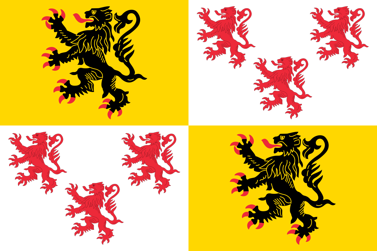 Hauts-de-France

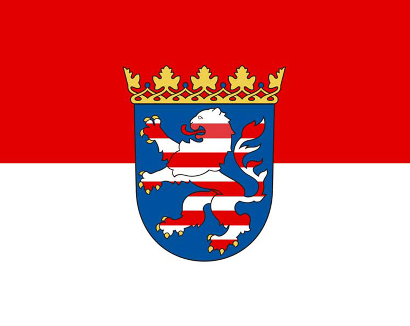 Hessen
 Kasachstan
 Kyrgyzstan

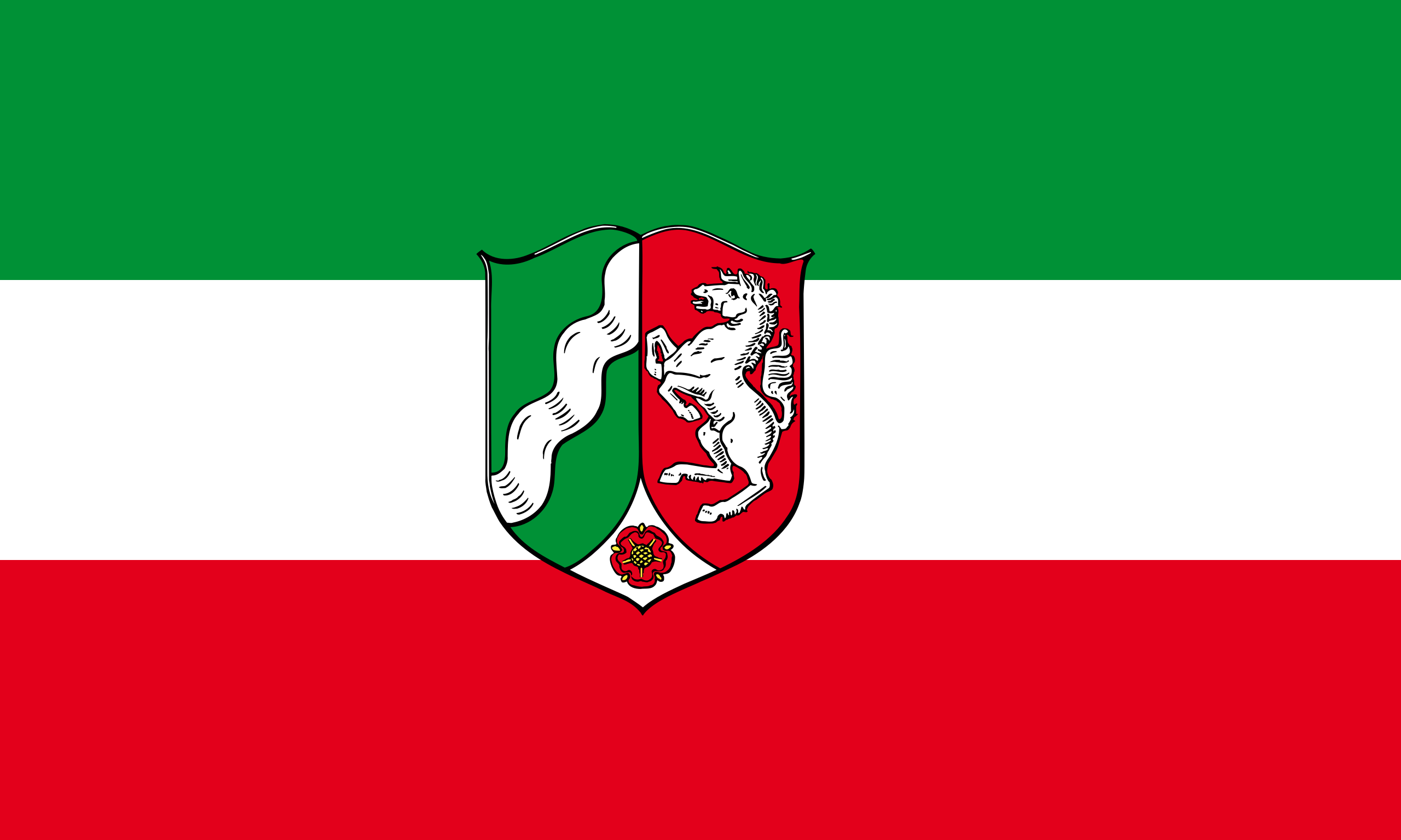 North Rhine-Westphalia
 Poland
 Russia

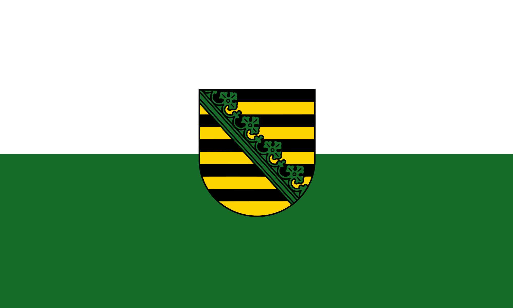 Saxony

 Thuringia
 Ukraine
 Uzbekistan
 Azerbaijan

 Bavaria

 Bourgogne-Franche-Comté

 Bretagne

 Centre-Val de Loire
 China
China
 Germany
 France
 Georgia
 Kyrgyzstan
 Austria

 Pays-de-la-Loire
 Romania
 Switzerland
 Tajikistan

 Tyrol
Tyrol
 Turkmenistan
 Hungary
 Uzbekistan
 Xinjiang Uygur Zizhiqu-XJ


 Aljaksandr Lukaschenka
 Azerbaijan
 Belarus
 China
China
 Emomali Rahmon
 India
India
 Iran
Iran
 Kasachstan
 Kyrgyzstan
 Mohammad Mokhber

 Mongolei
 Pakistan
 Qassym-Schomart Toqajew
 Russia
 Sadyr Japarov
 Shavkat Mirziyoyev
 Shehbaz Sharif
 Tajikistan
 Turkey
 Turkmenistan
 Uzbekistan

 Economy and trade
 Wladimir Wladimirowitsch Putin
 Xi Jingping

The 2024 SCO summit was the 24th annual summit of heads of state of the Shanghai Cooperation Organisation held between 3 and 4 July 2024 in Astana, Kazakhstan.
2024 年上海合作组织峰会是上海合作组织第二十四次元首年度峰会,于 2024 年 7 月 3 日至 4 日在哈萨克斯坦阿斯塔纳举行。

 Afghanistan
 Azerbaijan
 China
China
 India
India
 Iran
Iran
 Kasachstan
 Kyrgyzstan
 Pakistan
 Russia
 Saudi Arabia
 Tajikistan
 Turkey
 Turkmenistan
 Uzbekistan
 United Arab Emirates


 Afghanistan
 Egypt
Egypt
 Azerbaijan
 Bahrain
 China
China
 India
India
 Iraq
Iraq
 Iran
Iran
 Israel
 Jordan
 Cambodia
 Kasachstan
 Kyrgyzstan

 Mongolei
 Pakistan
 Palestine
 Republic of Korea
 Russia
 Tajikistan
 Thailand
 Turkey
 Uzbekistan
 United Arab Emirates
 Vietnam

Kysylkum oder Kizilkum (usbekisch Qizilqum, wörtlich „Roter Sand“, russisch Кызылкум) ist eine Kies- und Sandwüste, die zum größten Teil im inneren des Tieflands von Turan liegt. Sie ist etwa 200.000 km² groß und gehört zu den Staatsgebieten von Turkmenistan, Usbekistan und Kasachstan. Der Großteil des Kysylkum-Gebietes (Navoiy) wurde 1932 beziehungsweise 1936 mitsamt Karakalpakistan von der Kasachischen an die Usbekische SSR abgetreten.
Im Norden wird sie durch den Fluss Syrdarja, im Südwesten durch den Amudarja begrenzt.[1] Jenseits des Amudarja im Westen liegt die noch größere Wüste Karakum und im Norden die neu entstandene Wüste Aralkum.
Vor 60 Millionen Jahren falteten sich die Gebirge Himalaya, Tianshan und Pamir auf und verwandelten das bestehende Meer in ein Binnenseebecken, in dem heute die Wüsten Kysylkum und Karakum liegen. Weil bis zur Entleerung des mittelasiatischen Binnenmeers ins Schwarze Meer vor rund 35 Millionen Jahren einige der heutigen Gebirge Inseln waren, hat die Kyslkum ein relativ abwechslungsreiches Landschaftsbild. Zahlreiche Ebenen sind mit einem Gemisch von Sand und Schotter bedeckt. Dort findet sich der rote Sand, von dem sich der Name der Wüste herleitet.
克孜勒库姆沙漠(乌兹别克语:Qizilqum,哈萨克语:Қызылқұм),亦称克孜尔库姆沙漠、克齐尔库姆沙漠,是世界第十一大沙漠。克孜尔和库姆在突厥语族语言(含乌兹别克语、哈萨克语和维吾尔语等)中分别指红色和沙子。沙漠位于中亚阿姆河与锡尔河之间的河间地,包括哈萨克斯坦,乌兹别克斯坦和部分土库曼斯坦领土,总面积约为29.8万平方公里。
 AFC Champions League 2015
 AFC Champions League 2016
 AFC Champions League 2017
 Westasien
 AFC Champions League 2017
 Group A
 AFC Champions League 2018
 Group B
 AFC Champions League 2018
 Westasien
 Uzbekistan
 Transport and traffic
 Geography
 Sport
Sport
 Hand in Hand
 Architecture
 Religion
