
Deutsch-Chinesische Enzyklopädie, 德汉百科
 Erneuerbare Energie
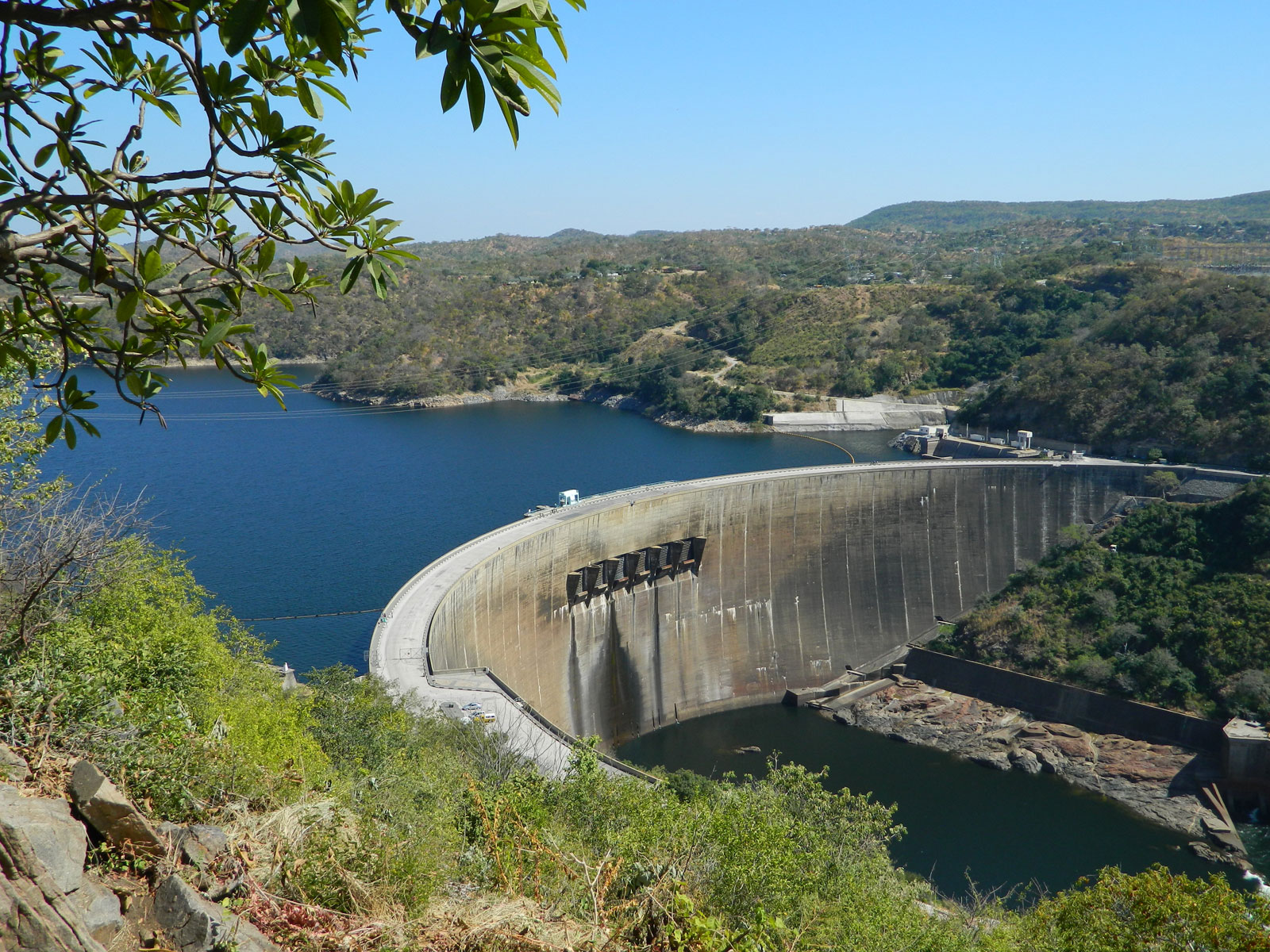
卡里巴水库
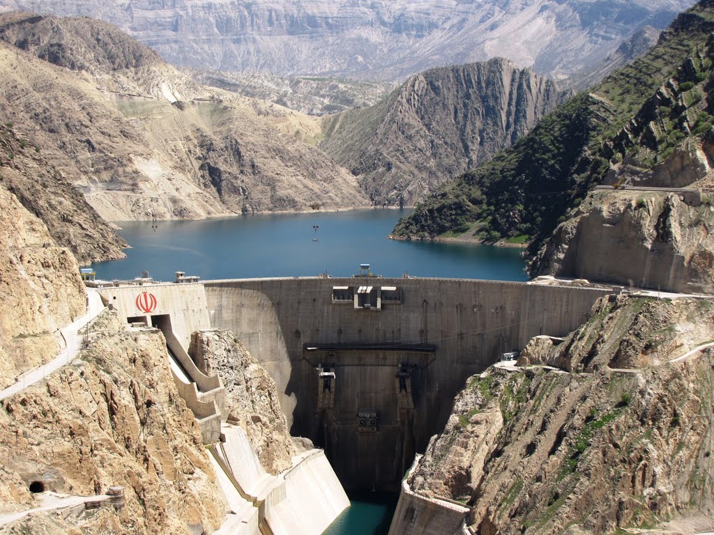
卡伦河三号水库/卡伦河三号大坝/Karun-3 Dam
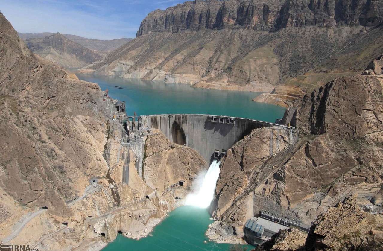
卡伦河四号水库/卡伦河四号大坝/Karun-4 Dam
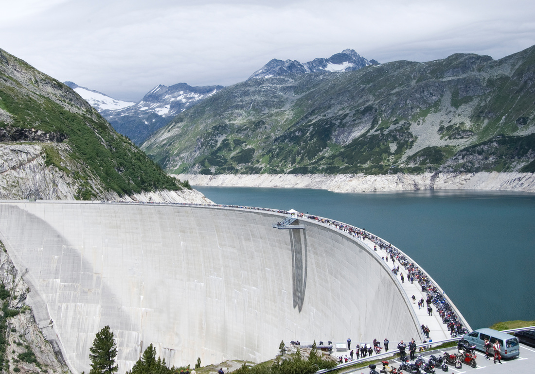
科恩布莱茵水库/科恩布莱茵大坝
瓦尔扎扎特太阳能电站/Ouarzazate Solar Power Station

 Brazil

 Energy resource

 Energy resource
 *Electrical power

 Energy resource
 Hydroelectric power plants
 Erneuerbare Energie
 Hydropower
 Goiás
Goiás
塞拉达梅萨水电站
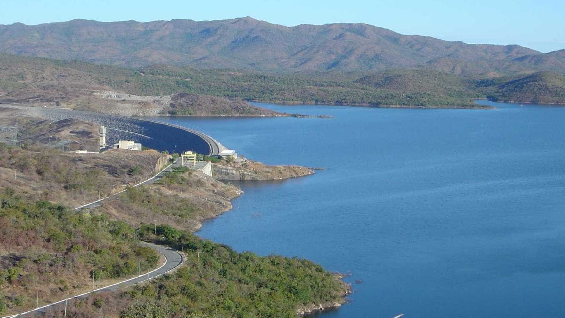
Das Kraftwerk Serra da Mesa (portugiesisch Usina Hidrelétrica (de) Serra da Mesa) ist ein Wasserkraftwerk im brasilianischen Bundesstaat Goiás, das das Wasser des Rio Tocantins zum Stausee Serra da Mesa (port. Lago de Serra da Mesa) aufstaut. Ungefähr 20 Kilometer nordöstlich des Kraftwerks befindet sich die Gemeinde Minaçu. Engpassleistung 1.275 Megawatt Regelarbeitsvermögen 4.000 Millionen kWh/Jahr Turbinen Francis-Turbinen: 3 × 425 MW Eigentümer Furnas Centrais Elétricas

 Energy resource

 Energy resource
 *Electrical power

 Energy resource
 Hydroelectric power plants
 Erneuerbare Energie
 Erneuerbare Energie
 Hydropower
 Russia
克拉斯诺雅尔斯克水库/Красноярское водохранилище
Sperrentyp: Gewichtsstaumauer Bauzeit: 1961–1968 Höhe über Gründungssohle: 124 m / 119 m Kronenlänge: 1.065 oder 1.072 m Kronenbreite: 24 m Basisbreite: 140 m Kraftwerksleistung: 6 000 MW Höhenlage (bei Stauziel) 243 m Wasseroberfläche 2.130 km² Stauseelänge ca. 400 km Stauseebreite bis zu 15 km Speicherraum 73.300 Mio. m³ Einzugsgebiet 289.000 km² Bemessungshochwasser: 14.600 m³/s Besonderheiten: Schiffshebewerk


 Energy resource

 Energy resource
 *Electrical power

 Energy resource
 Hydroelectric power plants
 Erneuerbare Energie
 Hydropower
 Russia

 Economy and trade
古比雪夫水库/Куйбышевское водохранилище/ Kuibyschewskoje wodochranilischtsche
Bauzeit: 1950–1955 Bauwerksvolumen: 169 Mio. m³ Kronenlänge: 3781 m Kraftwerksleistung: 2315 MW Höhenlage (bei Stauziel) 53 m Wasseroberfläche 6450 km² Speicherraum 58.000 Mio. m³ Einzugsgebiet 1.210.000 km² Lage: Oblast Samara, Oblast Uljanowsk, Tatarstan (Russland) Zuflüsse: Wolga, Kama, Mjoscha, Sai

 Andhra Pradesh

 Energy resource

 Energy resource
 *Electrical power

 Energy resource
 Solar power plants
 Erneuerbare Energie
 Solar energy
 India
India
卡努尔超巨型太阳能公园
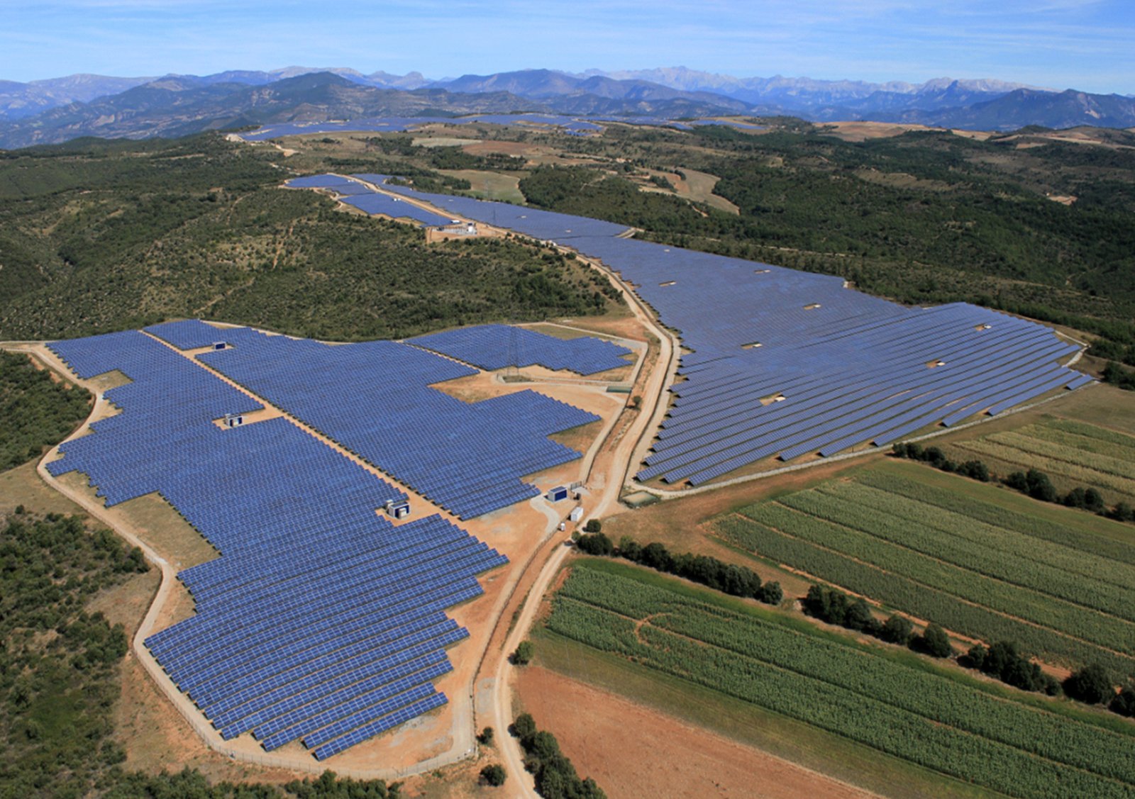
Standort Bezirk Kurnool, Andhra Pradesh Datum der Inbetriebnahme 29. Januar 0001 Eigentümer: Andhra Pradesh Solar Power Corporation Private Limited (APSPCL) Typ Flachbildschirm-PV Standortressource 5,5-6,0 kW⋅h/m2/d Standortfläche 24 km2 (9,3 sq mi) Einheiten in Betrieb 1000 MW Nennleistung 1000 MW
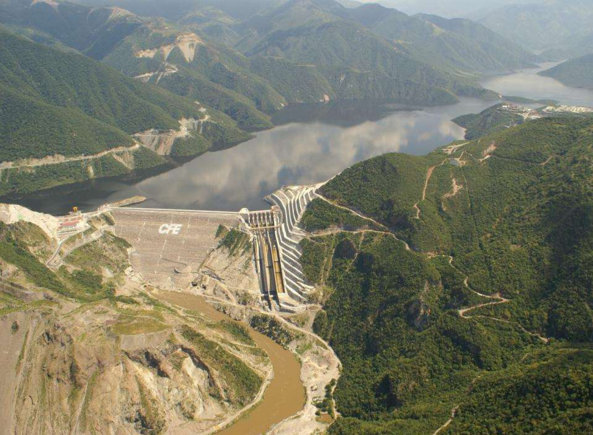
拉耶斯卡水库/拉耶斯卡坝/Presa La Yesca
大迪克桑斯水库/ Grande Dixence Dam

 *Yellow river

 Energy resource

 Energy resource
 *Electrical power

 Energy resource
 *Renewable energy
 Erneuerbare Energie
 Erneuerbare Energie
 Hydropower
 Qinghai Sheng-QH
李家峽水庫 李家峡水库
Bauzeit: 1991–2000 Höhe des Absperrbauwerks: 155 m Höhe über Gründungssohle: 165 m Bauwerksvolumen: 1,26 Mio. m³ Kronenlänge: 414 m Kronenbreite: 8 m Basisbreite: 45 m Kraftwerksleistung: 2000 MW Höhenlage (bei Stauziel) 2180 m Wasseroberfläche 136,747 km² Speicherraum 1648 Mio. m³ Einzugsgebiet 136 747 km² Bemessungshochwasser: 7 220 m³/s Die Lijiaxia-Talsperre ist eine Talsperre mit einem Wasserkraftwerk am Gelben Fluss (Huang He) in der chinesischen Provinz Qinghai.

 Carinthia
 Vacation and Travel