
Deutsch-Chinesische Enzyklopädie, 德汉百科
 Illinois-IL

 Colorado-CO

 Delaware-DE

 Illinois-IL

 Indiana-IN

 Kansas-KS

 Maryland-MD

 Missouri-MO

 New jersey-NJ

 Ohio-OH

 Pennsylvania-PA

 Utah-UT

 West Virginia-WV
美国国道40

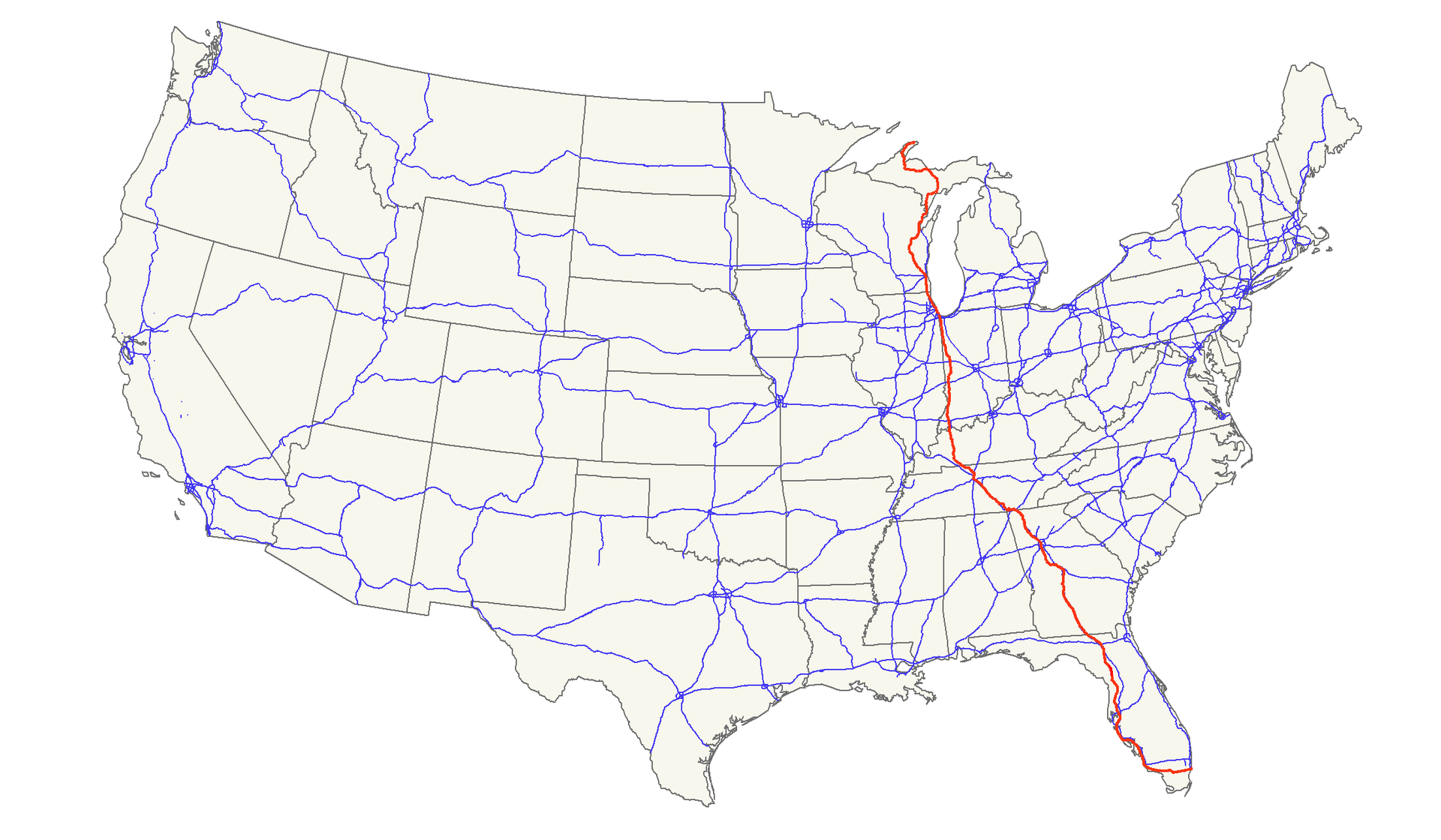
美国国道41

 California-CA

 Colorado-CO

 Geography

 Illinois-IL

 Indiana-IN

 Kansas-KS

 Maryland-MD

 Missouri-MO

 Nevada-NV

 Ohio-OH

 Utah-UT
 United States

 Virginia-VA

 Washington, D.C.

 West Virginia-WV
美国国道50
Der U.S. Highway 50 (kurz US 50) ist ein United States Highway in den Vereinigten Staaten. Er beginnt in West Sacramento an der Interstate 80 im Bundesstaat Kalifornien und endet nach 4846 Kilometern in Ocean City an der Maryland Route 528. Bei der Eröffnung des Highways im Jahr 1926 gab es zwei getrennte Abschnitte. Der westliche Teil verband Sacramento mit Ely in Nevada und der Abschnitt im Osten verlief von Thistle in Utah nach Annapolis südlich von Baltimore im Bundesstaat Maryland. Die Absc
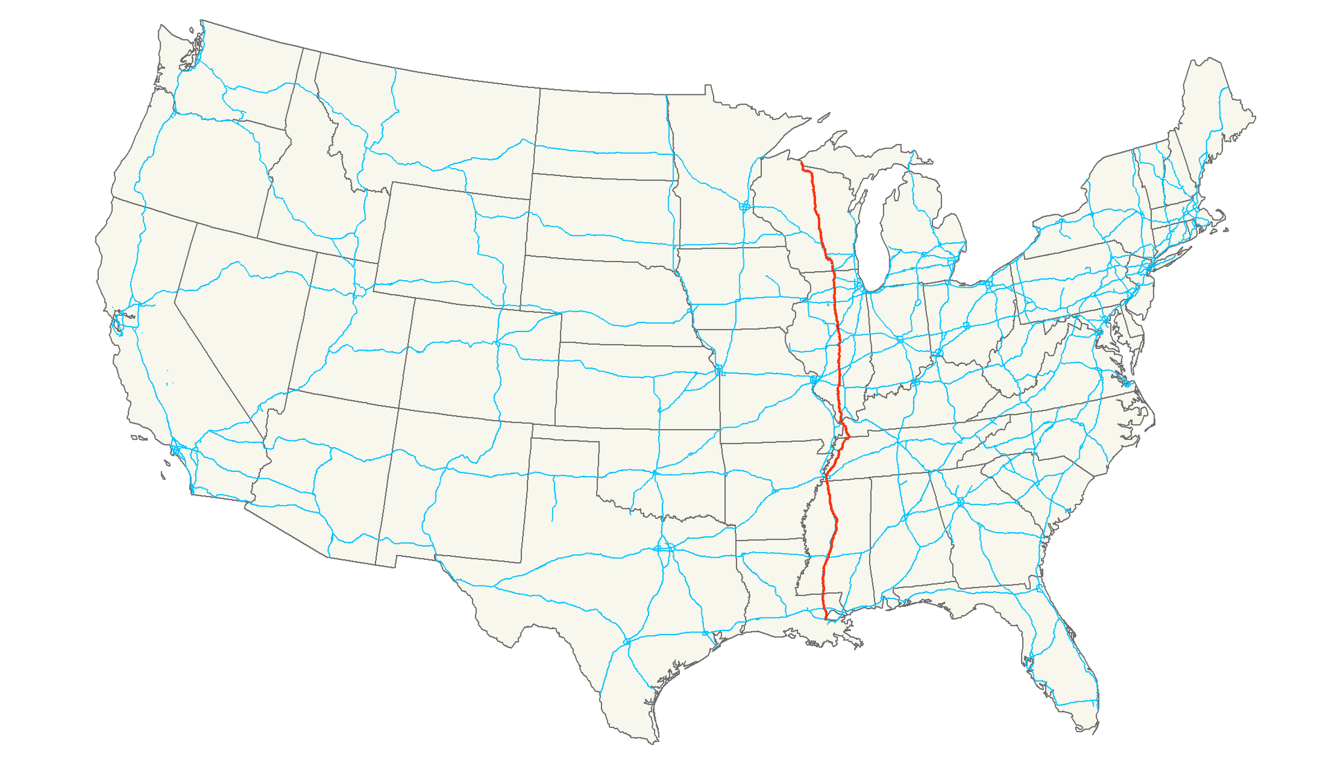
美国国道51

 Arizona-AZ

 Illinois-IL

 Kentucky-KY

 Missouri-MO

 New mexico-NM

 Oklahoma-OK

 Texas-TX

 Virginia-VA

 West Virginia-WV
美国国道60


 Arizona-AZ

 California-CA

 Geography

 Illinois-IL

 Kansas-KS

 Missouri-MO

 New mexico-NM

 Oklahoma-OK

 Texas-TX
 United States
美国66号公路
Die Route 66 war eine ursprünglich 2451 Meilen (3945 Kilometer) lange Fernstraße (US Highway) im Fernstraßensystem der USA von Chicago (Illinois) nach Santa Monica/Los Angeles (Kalifornien). Sie galt ab 1926, abgesehen vom Lincoln Highway, als eine der ersten durchgehend befestigten Straßenverbindungen zur Westküste. Die verbliebenen Teilstücke der früher auch Mother Road oder Main Street of America genannten Strecke sind ein Anziehungspunkt für Touristen und Nostalgiker.
沃尔格林公司

沃尔格林联合博姿

威利斯大厦
Ort: Chicago, Vereinigte Staaten Bauzeit: 1970–1974 Status: Erbaut Baustil: International Architekt: Bruce J. Graham und Fazlur Khan (SOM) Eigentümer: Willis Group Holdings Bauherr: Sears Höhe: 442,3 m Höhe bis zur Spitze: 527,3 m Höhe bis zum Dach: 442,3 m Höchste Etage: 436 m (Technik), höchste nutzbare Etage (CTBUH-Kriterien) liegt auf 412,7 m Etagen: 108 Aufzüge: 104 Nutzungsfläche: 418.064 m² Baustoff: Tragwerk: Stahl, Fassade: Glas, Aluminium Baukosten: 175 Millionen US-Dollar
沃尔夫勒姆研究公司

箭牌

葉凱士天文台 叶凯士天文台/Yerkes Observatory

Das Yerkes-Observatorium ist eine historische, 1897 eingeweihte Forschungsstätte für Astronomie in den USA. Sie liegt in der Nähe Chicagos am Lake Geneva im Bundesstaat Wisconsin, ist aber heute wegen der zunehmenden Luft- und Lichtverschmutzung kaum mehr in Verwendung.
Finanziert wurde das Observatorium von Charles Tyson Yerkes, einem US-amerikanischen Industriellen, nach dem es auch benannt wurde. Die Hauptkuppel beherbergt das bis heute größte Linsenteleskop der Welt mit einem 102-cm-Objektiv und 19,7 Meter Brennweite.
耶基斯天文台(/ˈjɜːrkiːz/ YUR-Keez),英语:Yerkes Observatory,或译为叶凯士天文台)是位于美国威斯康星州威廉姆斯湾的天文台。这个天文台从1897年建立至2020年都由芝加哥大学的天文学和天体物理学系运营[2][3]。
 Transport and traffic

 Florida-FL
 Georgia-GA
 Michigan-MI
 Tennessee-TN
 Wisconsin-WI

 Louisiana-LA
 Mississippi-MS

 Companies
 Medical, Pharmaceutical, Rehabilitation
 Architecture


 IT-Times
 Eat and Drink
 Astronomy


 Aerospace