
漢德百科全書 | 汉德百科全书
 Geography




Die Insel Irland ist etwa 450 km lang und rund 260 km breit und liegt im Atlantik. Insgesamt hat sie eine Fläche von etwa 84.421 km². Sie ist damit die drittgrößte Insel Europas und die zwanzigstgrößte der Welt. An der Küste gelegene Berge umgeben zentrale Ebenen. Der Carrauntuohill im County Kerry ist mit 1041 Metern der höchste Berg. Der Shannon teilt die Insel in zwei nicht gleich große Teile und ist mit rund 370 km, von denen knapp 250 km schiffbar sind, der längste Fluss.
爱尔兰岛(英语:Ireland,爱尔兰语:Éire)是位于欧洲西北部的大西洋岛屿,以面积计算是欧洲第三大岛。岛上大部分区域属于爱尔兰共和国的领土,至于岛上东北部的北爱尔兰地区之主权则属于英国。



爱德华王子岛省(英语:Prince Edward Island;法语:Île-du-Prince-Édouard;苏格兰盖尔语:Eilean a' Phrionnsa或Eilean Eòin;米克马克语:Apekweit或Epikwetk),简称爱省,也常被简称为皮伊爱(英语常简称为:PEI;法语常简称为:Î.-P.-É.) ,是加拿大东部海洋三省之一。爱德华王子岛省全境包含了与省同名的岛屿及其周遭的离岛;此滨海省分的人口(154,331人,2021年统计)和面积(5,683.91平方公里,2006年统计)虽然都是全国最少,人口密度却是全国最高,达到每平方公里约 27 人 (24.47/km2)。除此之外,该岛也是全球面积排名第104位(全加拿大第23位)的岛屿。首府为夏洛特敦(Charlottetown)。
爱德华王子岛的命名源自于爱德华·奥古斯都王子,肯特与斯特拉森公爵(Prince Edward Augustus, Duke of Kent and Strathearn,英国维多利亚女王的父亲)。
知名加拿大女作家露西·莫德·蒙哥马利(Lucy M. Montgomery)是出身于爱德华王子岛的名人之一,名著《绿山墙的安妮》(Anne of The Green Gables)就是以她自己的故乡爱德华王子岛作为故事背景。Prince Edward Island [ˌpɹɪns‿ˌɛdwɚd‿ˈaɪ̯lɨnd] (französisch Île-du-Prince-Édouard, Mi’kmaq Epekwitk oder Abegweit,[2] kurz PEI oder P.E.I., deutsch Prinz-Eduard-Insel) ist eine Insel im Atlantik und eine Provinz im Osten Kanadas. Die Nachbarprovinzen der Insel sind New Brunswick im Westen und Nova Scotia im Süden und Osten. Prince Edward Island ist flächenmäßig die kleinste Provinz des Landes. Benannt ist sie nach Edward Augustus, Duke of Kent and Strathearn, dem Vater von Königin Victoria.

爱尔兰(英语:Ireland;爱尔兰语:Éire)[注 1],通称爱尔兰共和国(英语:Republic of Ireland;爱尔兰语:Poblacht na hÉireann),是一个西欧国家,欧盟成员国之一,位于欧洲大陆西北海岸外的爱尔兰岛,约占该岛南部的5/6面积。剩余东北部的1/6面积属于英国,称北爱尔兰。首都位于爱尔兰岛东部的都柏林。爱尔兰在2011年共计有458万人口,是一个议会共和制国家。此外爱尔兰也是欧洲联盟、欧洲理事会、经济合作与发展组织、世界贸易组织和联合国等国际组织的成员。爱尔兰共和国成立于1922年的爱尔兰自由邦,结束了大英帝国的统治,爱尔兰独立战争后签订了《英爱条约》,爱尔兰独立,但爱尔兰岛东北方的六个郡继续留在联合王国内,形成了北爱尔兰。
Irland ([ˈɪʁlant], amtlicher deutscher Name; irisch Éire [ˈeːrʲə] , englisch Ireland)[6] ist ein Inselstaat in Westeuropa. Er umfasst etwa fünf Sechstel der gleichnamigen Insel sowie eine Vielzahl kleinerer Inseln, welche ihr vorgelagert sind. Hauptstadt und größte Stadt Irlands ist Dublin, gelegen im östlichen Teil des Landes. In der Metropolregion Dublin lebt etwa ein Drittel der 4,8 Millionen Einwohner. Es grenzt im Norden an Nordirland und damit an das Vereinigte Königreich. Im Osten liegt die Irische See, im Westen und Süden ist das Land vom Atlantik umgeben. Irland ist seit 1973 Mitglied der Europäischen Union. Der Großteil der Bevölkerung bekennt sich zum römisch-katholischen Glauben.
Das lange Zeit verarmte und daher von Auswanderung betroffene Irland hat sich inzwischen zu einer hochmodernen, in manchen Gegenden multikulturellen Industrie- und Dienstleistungsgesellschaft gewandelt. Es hat jährlich 10 Millionen[7] ausländische Touristen. Irland war 2018 nach dem Bruttoinlandsprodukt pro Kopf (kaufkraftbereinigt) das zweitreichste Land Europas, in der Welt das fünftreichste.[4]
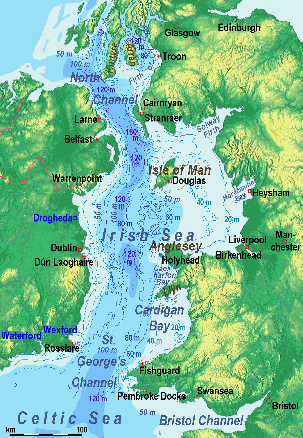
爱尔兰海(英语:Irish Sea、爱尔兰语:Muir Éireann)位于英国不列颠岛和爱尔兰岛之间;它南端的圣乔治海峡处于爱尔兰和威尔士之间,北端的北海海峡处于爱尔兰和苏格兰之间,两者都与大西洋相通。
爱尔兰海面积10万平方公里,平均水深61米,西北部最深处达272米。
不列颠岛和爱尔兰岛之间经爱尔兰海的交通连接包括由斯旺西(Swansea)至科克(Cork)、费什加德(Fishguard)及彭布洛克(Pembroke)至罗斯莱尔(Rosslare)、荷利赫德(Holyhead)至当莱瑞(Dún Laoghaire)、斯特兰拉尔(Stranraer)至贝尔法斯特及拉恩(Larne)、和凯安雷恩(Cairnryan)至拉恩的路线。另外还有利物浦经马恩岛往贝尔法斯特的路线。


アイオワ州(英: State of Iowa [ˈaɪəwə, ˈaɪ.oʊə] (![]() 音声ファイル))は、アメリカ合衆国中西部に位置し、「アメリカのハートランド(中心地)」と呼ばれる州である。1846年12月28日にアメリカ合衆国29番目の州となった。アメリカ合衆国50州の中で、陸地面積では第26位、人口では第30位である。州都かつ人口最大の都市はデモインである。「アイオワ」という名前はヨーロッパ人がこの地域に探検に入った時代に、数多く住んでいたインディアン部族の中のアイオワ族から採られた[1]。その意味は、インディアン部族のスー族の言葉で「眠たがり」という意味である。アイオワ州法によって、アメリカ合衆国大統領選挙の前哨戦である大統領候補指名党員選挙を、全国に先駆けて行うことが定められている。したがって、アイオワ州党員選挙は大統領選挙の初戦としての位置付けにあり、大統領選挙の際には世界的に注目される。なお、アイオワ州党員選挙にて敗北した候補者が大統領に就任した例は少なく、「アイオワを制する者が大統領選挙を制する」とも言われている。
音声ファイル))は、アメリカ合衆国中西部に位置し、「アメリカのハートランド(中心地)」と呼ばれる州である。1846年12月28日にアメリカ合衆国29番目の州となった。アメリカ合衆国50州の中で、陸地面積では第26位、人口では第30位である。州都かつ人口最大の都市はデモインである。「アイオワ」という名前はヨーロッパ人がこの地域に探検に入った時代に、数多く住んでいたインディアン部族の中のアイオワ族から採られた[1]。その意味は、インディアン部族のスー族の言葉で「眠たがり」という意味である。アイオワ州法によって、アメリカ合衆国大統領選挙の前哨戦である大統領候補指名党員選挙を、全国に先駆けて行うことが定められている。したがって、アイオワ州党員選挙は大統領選挙の初戦としての位置付けにあり、大統領選挙の際には世界的に注目される。なお、アイオワ州党員選挙にて敗北した候補者が大統領に就任した例は少なく、「アイオワを制する者が大統領選挙を制する」とも言われている。
アイオワ州となった地域はフランスのヌーベルフランスと呼ばれた植民地に属していた。アメリカ合衆国によるルイジアナ買収後、開拓者が農業に基づく経済の基礎を作り、「コーンベルト」と呼ばれる地域の中心になった[2]。「世界の食糧の首都」と呼ばれることも多い[3]。20世紀の後半に農業経済から、先進的製造、加工、金融、バイオテクノロジー、再生可能エネルギーなど多様な経済分野に移行してきた[3][4]。生活するには安全な州として位置づけられてきている[5]。
Iowa (/ˈaɪəwə/ (![]() listen))[5][6][7] is a state in the Midwestern United States, bordered by the Mississippi River to the east and the Missouri River and Big Sioux River to the west. It is bordered by six states: Wisconsin to the northeast, Illinois to the east and southeast, Missouri to the south, Nebraska to the west, South Dakota to the northwest, and Minnesota to the north.
listen))[5][6][7] is a state in the Midwestern United States, bordered by the Mississippi River to the east and the Missouri River and Big Sioux River to the west. It is bordered by six states: Wisconsin to the northeast, Illinois to the east and southeast, Missouri to the south, Nebraska to the west, South Dakota to the northwest, and Minnesota to the north.
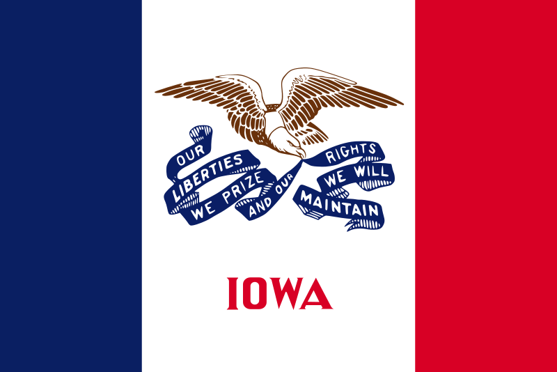
In colonial times, Iowa was a part of French Louisiana and Spanish Louisiana; its state flag is patterned after the flag of France. After the Louisiana Purchase, people laid the foundation for an agriculture-based economy in the heart of the Corn Belt.[8]
In the latter half of the 20th century, Iowa's agricultural economy made the transition to a diversified economy of advanced manufacturing, processing, financial services, information technology, biotechnology, and green energy production.[9][10] Iowa is the 26th most extensive in land area and the 30th most populous of the 50 U.S. states. The state's capital, most populous city, and largest metropolitan area fully located within the state is Des Moines. A portion of the larger Omaha, Nebraska, metropolitan area extends into three counties of southwest Iowa.[11] Iowa has been listed as one of the safest U.S. states to live in.[12]
L'Iowa (prononcé en français : /i.jo.wa/, en anglais : /ˈaɪ.ə.wə/) est un État du Midwest des États-Unis, parfois appelé The American Heartland (« le cœur américain »). Il est bordé au nord par le Minnesota, par le Wisconsin et l'Illinois à l'est, par le Missouri au sud et par le Nebraska et le Dakota du Sud à l'ouest2. Ses frontières à l'est et l'ouest sont formées par des rivières, respectivement le Mississippi, d'une part, et le Missouri et la Big Sioux, de l'autre. Son surnom officiel est The Hawkeye State depuis 1838, soit 8 ans avant qu'il ne devienne officiellement un État au sein de l'Union. En 2019, sa population s'élève à 3 155 070 habitants3.
À l'époque coloniale, l'Iowa fait partie de la Louisiane française et de la Louisiane espagnole. Son drapeau est inspiré directement de celui de la France. Après la vente de la Louisiane par Napoléon, les colons décident de fonder l'économie de l'État sur l'agriculture, de sorte que l'Iowa devient, plus tard, une partie de la Corn Belt. Dans la seconde moitié du XXe siècle, l'économie de l'Iowa, jusqu'alors monopolisée par l'agriculture, se diversifie avec l'arrivée des industries techniquement avancées, des services financiers, de la biotechnologie et de la production d'énergies renouvelables.
L'Iowa est le 20e État le plus étendu du pays et le 30e plus peuplé. Sa capitale, qui est aussi la ville la plus peuplée de l'État, est Des Moines. L'Iowa est répertorié, en 2009, comme l'un des États les plus sûrs des États-Unis. Il est également le premier État à voter lors des primaires présidentielles avec le caucus de l'Iowa.
L'Iowa (in inglese: [ˈaɪ.əwɒ]) è il 29º stato federato degli Stati Uniti d'America, essendo entrato nell'Unione il 28 dicembre 1846. Il nome ufficiale dello stato è "Stato dell'Iowa" (State of Iowa), la sua capitale è Des Moines.
Il nome dello Stato deriva da quello di una tribù di nativi americani di ceppo Sioux, gli Iowa appunto, che abitarono queste terre fino al 1836, quando volontariamente le cedettero agli Stati Uniti e si ritirarono nell'Oklahoma.
Iowa es uno de los cincuenta estados que, junto con Washington D. C., forman los Estados Unidos de América. Su capital y ciudad más poblada es Des Moines. Está ubicado en la región Medio Oeste del país, división Centro Noroeste, limitando al norte con Minesota, al este con el río Misisipi que lo separa de Wisconsin (al noreste) e Illinois (al sureste), al sur con Misuri, al oeste con el río Misuri que lo separa de Nebraska, y al noroeste con el río Big Sioux que lo separa de Dakota del Sur. Fue admitido en la Unión el 28 de diciembre de 1846, como el estado número 29.
El 92 por ciento de la población del estado son blancos, y el mayor grupo étnico de Iowa son los alemanes, que componen el 35,7% de la población del estado. Sus principales fuentes de renta son la manufactura, la agricultura y el turismo. Es el mayor productor de soja y etanol de los Estados Unidos, y posee el mayor rebaño porcino del país.
El nombre del estado proviene del pueblo nativo americano Iowa que habitaba la región. Los primeros europeos que exploraron la región fueron los franceses Louis Jolliet y Jacques Marquette en 1673, quienes describieron la región como verde y fértil. Los primeros colonos blancos se instalaron en la región en junio de 1833. El 28 de diciembre de 1846, Iowa se convirtió en el 29º estado de la Unión.
Айова[2] (англ. Iowa, /ˈaɪəwə/)[3] (варианты ударения: А́йова[4] и Айо́ва[5]) — 29-й по счёту штат[6] США, расположенный на Среднем Западе в области, называемой «Сердце Америки». Айова является частью бывшей французской колонии «Новая Франция», перешедшей к США в результате Луизианской покупки. Поселенцами был заложен фундамент сельскохозяйственной экономики штата, расположенного в центре кукурузного пояса США[7]. Штат иногда называют продовольственной столицей мира[8].
Название штата позаимствовано от наименования племени айова, одного из индейских племён, проживавших на территории штата до прихода европейских поселенцев[9].
Во второй половине XX века в Айове был осуществлён переход от сельскохозяйственной к многоотраслевой экономике, включающей передовые производственные, обрабатывающие, финансовые услуги, информационные технологии, биотехнологии и экологически чистое производство энергии[10][11]. Занимает 26-е место по территории в США и 30-е по численности населения. Столица и крупнейший город штата — Де-Мойн. Айова относится к числу самых безопасных штатов страны[12].
 Animal world

 Vacation and Travel
 Emilia-Romagna
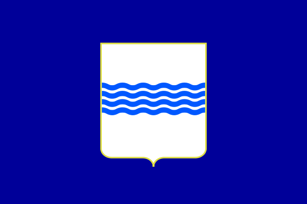 Basilicata
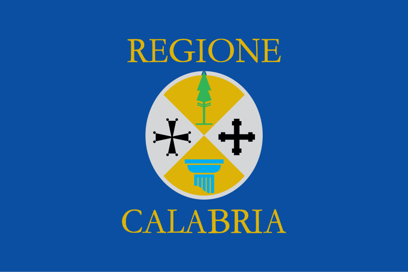 Calabria
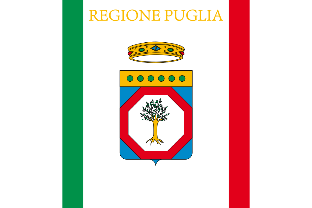 Puglia
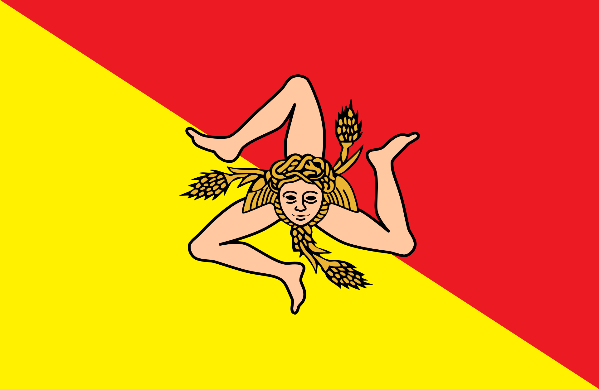 Sicilia
 European Union
 States of Europe
 Prince Edward Island-PEI
 Iowa-IA