
Deutsch-Chinesische Enzyklopädie, 德汉百科
 Northern Territory - NT
查尔斯达尔文大学

达尔文

大自流盆地/Great Artesian Basin
Das Große Artesische Becken (engl. Great Artesian Basin (GAB)) in Australien ist eines der größten unterirdischen Aquifere weltweit und erstreckt sich über 1.711.000 Quadratkilometer. Dies entspricht ungefähr 23 Prozent der Fläche des australischen Kontinents.

大自流盆地(英语:Great Artesian Basin)又称澳大利亚大盆地,为世界第三大盆地,位于澳大利亚大陆中部偏东,介于东部高地与西部高原之间。面积约为177万平方公里,中心的艾尔湖为澳洲海拔最低点。东部边缘地势较高,大致以大分水岭西麓为界,西部、北部、南部较低。[1]在澳大利亚岩层上,覆盖着不透水层,东部多雨,形成受水区,地下水流以每年11~16米的速度流向西部少雨地区。承压水透过钻井或天然泉眼等涌出地表,所以自流盆地因此而得名。澳大利亚的畜牧业发展得益于这种得天独厚的地形。
Das Große Artesische Becken (engl. Great Artesian Basin (GAB)) in Australien ist eines der größten unterirdischen Aquifere weltweit und erstreckt sich über 1.711.000 Quadratkilometer. Dies entspricht ungefähr 23 Prozent der Fläche des australischen Kontinents.
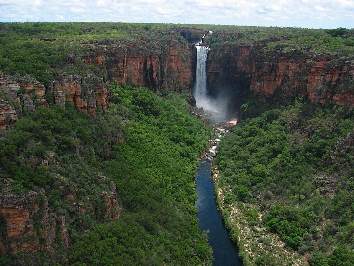
卡卡杜国家公园
 Australia

 New South Wales-NSW

 Northern Territory - NT

 Queensland-QLD

 South Australia-SA

 Tasmania-TAS

 Victoria-VIC

 Western Australia-WA
国道一号
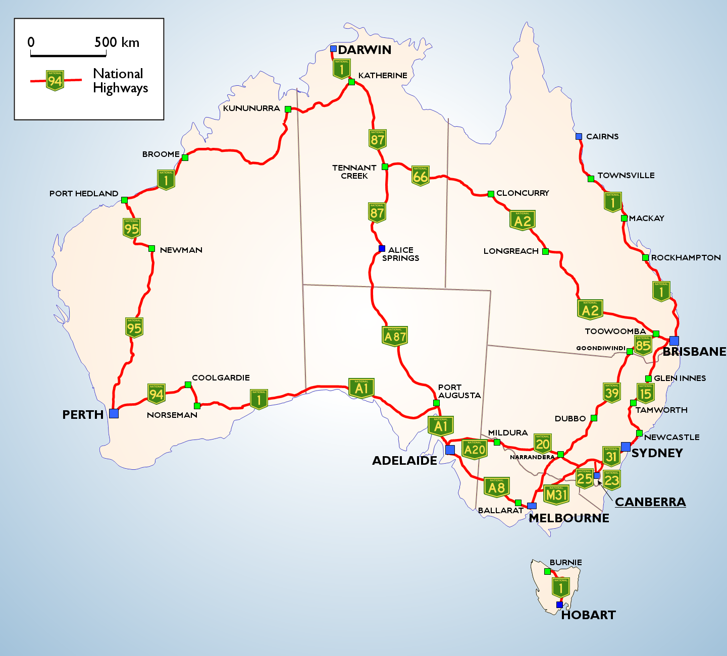


北领地


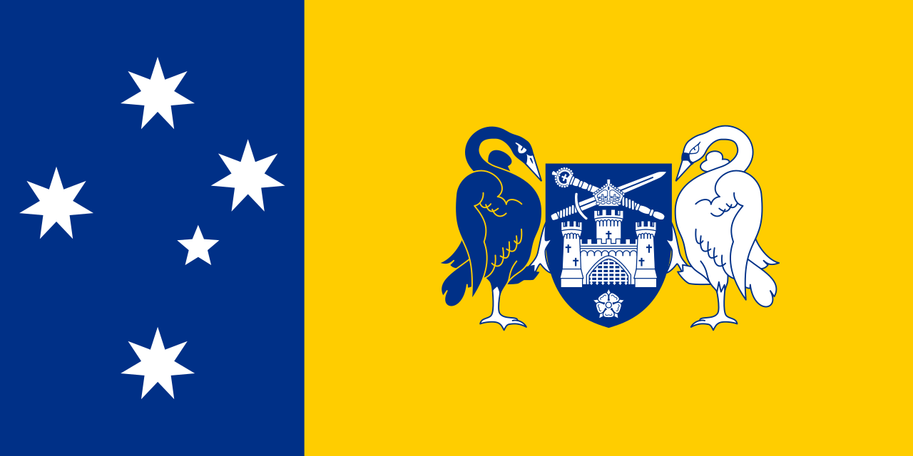 Australian Capital Territory-ACT
 Australia

 New South Wales-NSW

 Northern Territory - NT

 Queensland-QLD

 South Australia-SA

 Tasmania-TAS

 Victoria-VIC

 Western Australia-WA
澳大利亚铁路
帝汶海
Die Timorsee ist ein etwa 61.500 km² großes Nebenmeer des Indischen Ozeans mit einer Tiefe von maximal 3300 Metern.
乌卢鲁卡塔曲塔国家公园

 International cities

 Important port
 Geography
 Animal world
 Transport and traffic

