Deutsch-Chinesische Enzyklopädie, 德汉百科
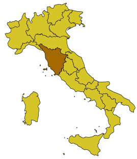
 Geography

***IMF Developed countries*World's Most Livable Cities*World overviewRivers in AfricaRivers in North AmericaRivers in South AmericaRivers in asiaRivers in EuropeRivers in OceaniaMountains in AfricaMountains in AntarcticaMountains in AsiaMountains in EuropeMountains in North AmericaMountains in OceaniaMountains in South AmericaGlacierIslands in AfricaIslands in AsiaIslands in EuropeIslands in Central AmericaIslands in North AmericaIslands in OceaniaIslands in South AmericaCaribbeanKarstArtificial water channels in the worldCountries of africaNorth American countriesCountries of OceaniaCountries of South AmericaStrait of the worldTunnel of the earthVulcanWaterfallWest Indies

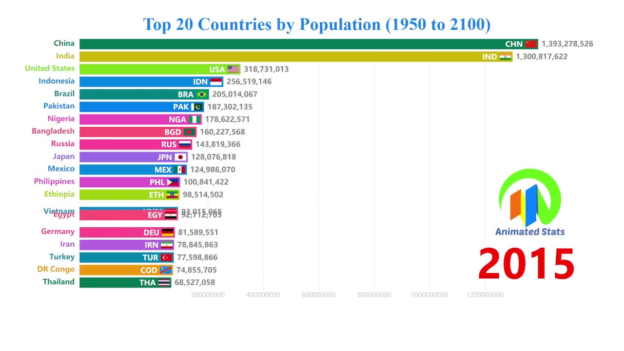
前20个国家的GDP(PPP)历史 1800-2040/Top 20 Country GDP (PPP) History 1800-2040
%20History%201800-2040.jpg)
世界主要饲料企业/top feed companies in the world

世界主要牛肉出口国 /Top beef exporter of the world


 Animal world
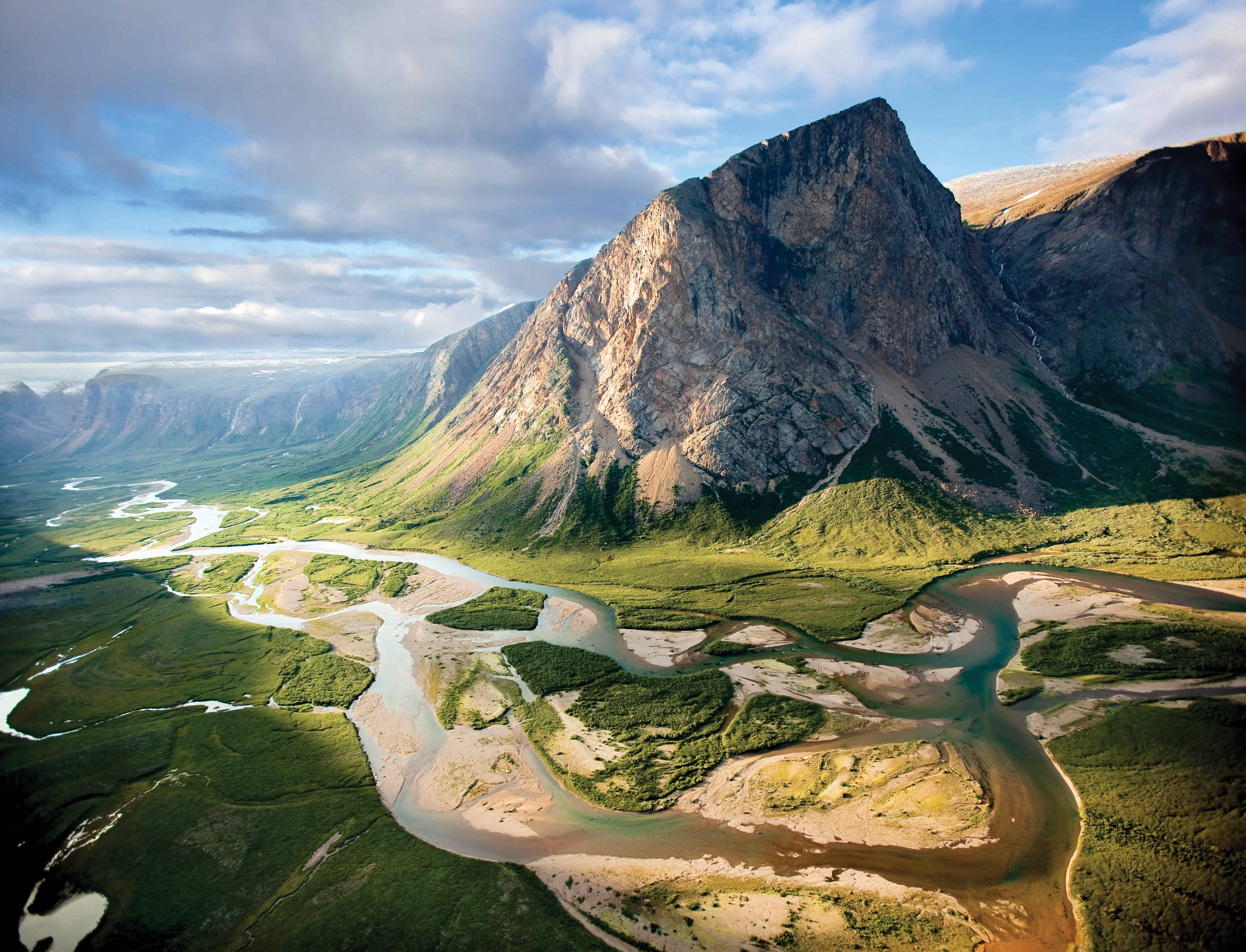
通戈山國家公園 通戈山国家公园/Torngat Mountains National Park
Der Nationalpark Torngatberge bzw. Torngat Mountains National Park (englisch Torngat Mountains National Park of Canada, französisch Parc national du Canada des Monts-Torngat) ist einer der vier Nationalparks in Kanadas Provinz Neufundland und Labrador.
托雷斯海峽群島 托雷斯海峡群岛/Torres Strait Islands
Die Torres-Strait-Inseln sind eine Inselgruppe in der Torres-Straße, einer Meerenge zwischen der Nordspitze Australiens, dem Kap York, und der Südküste von Papua-Neuguinea. Sie gehören überwiegend zum australischen Bundesstaat Queensland. Einige Inseln entlang der Südküste von Neuguinea gehören zur Westprovinz von Papua-Neuguinea.

托雷斯海峽 托雷斯海峡/Torres Strait
Die Torres-Straße (auch Straße von Torres; englisch Torres Strait) ist eine rund 150 Kilometer breite Meerenge zwischen der nordostaustralischen Halbinsel Cape York und der Südküste von Neuguinea, genauer der Western Province des Staates Papua-Neuguinea.

 Eat and Drink