
漢德百科全書 | 汉德百科全书
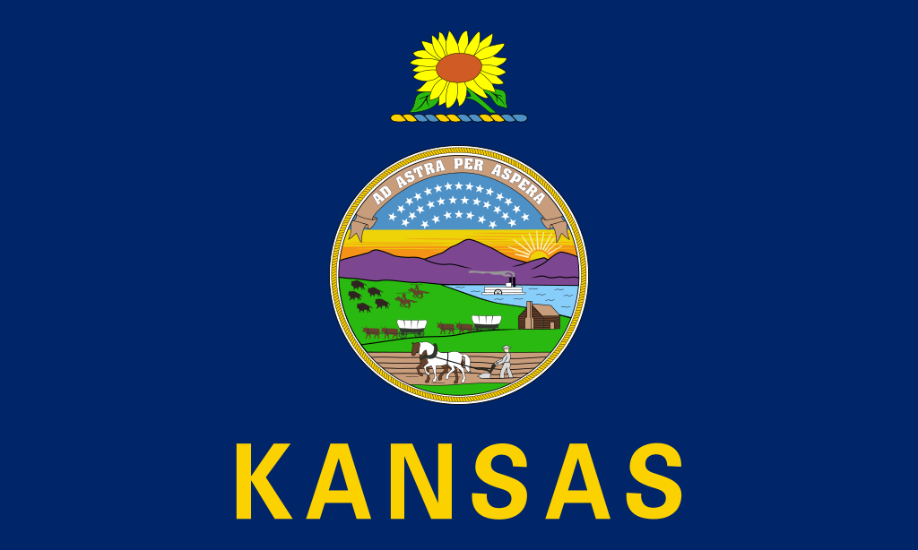
 Kansas-KS




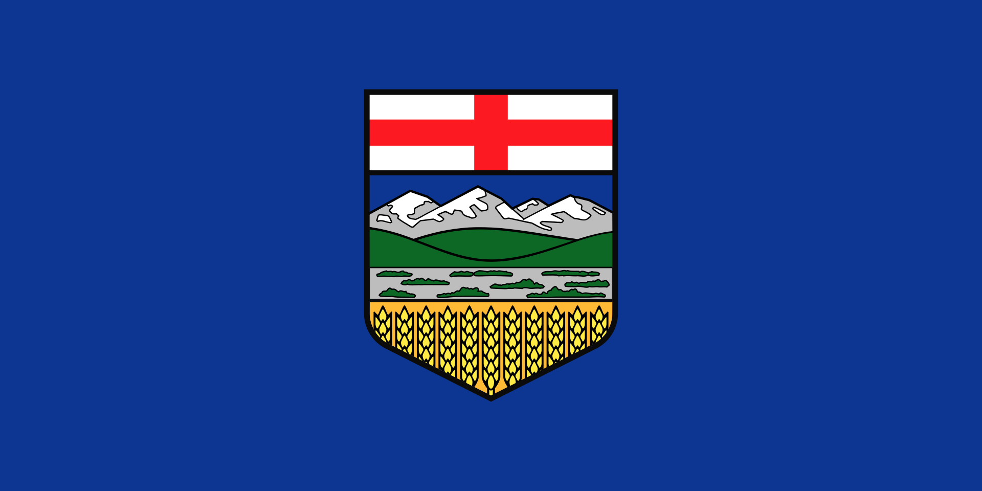 Alberta-AB

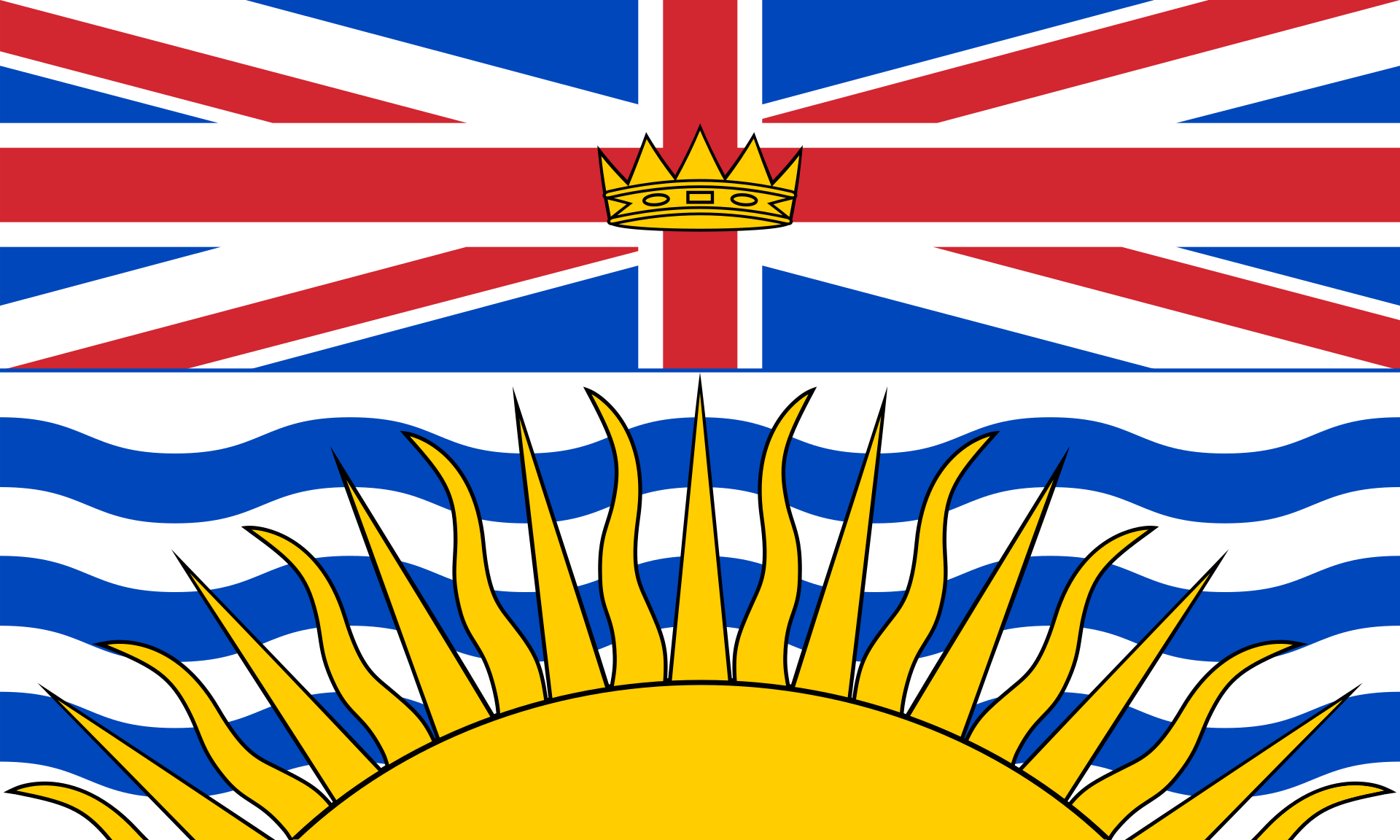 British Columbia-BC

 Illinois-IL

 Iowa-IA
 Canada

 Kansas-KS

 Michigan-MI

 Minnesota-MN

 Missouri-MO

 Nevada-NV

 New York-NY

 North Dakota-ND

 Quebec-QC

 South Dakota-SD
 United States

 Wisconsin-WI

 Wyoming-WY

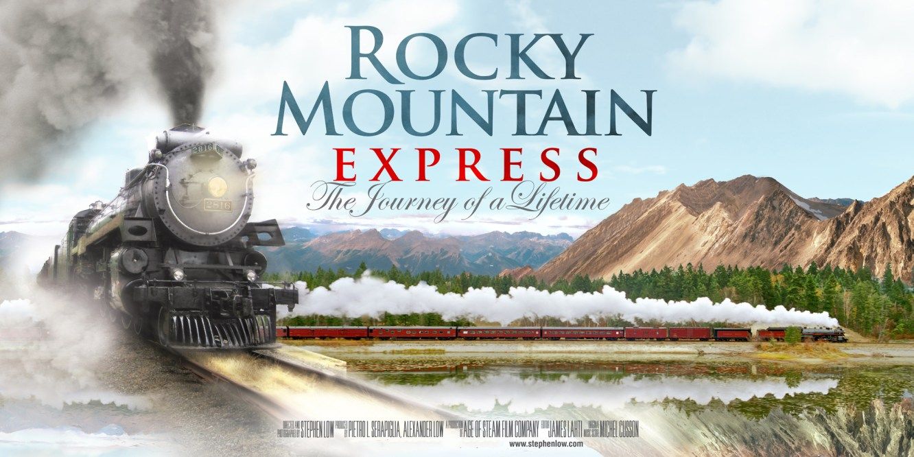
Die Canadian Pacific Railway (CPR) ist eine Eisenbahngesellschaft mit einem fast 22.300 Kilometer langen normalspurigen Schienennetz in Kanada und den USA. Sie ist, neben der Canadian National Railway, eine der zwei kanadischen Class 1-Eisenbahngesellschaften. Sitz des an der Toronto Stock Exchange im S&P/TSX 60 gelisteten Unternehmens ist Calgary. Die Hauptstrecke der Gesellschaft, die zwischen 1881 und 1885 erbaute transkontinentale Verbindung, verläuft zwischen Montréal im Osten am Nordatlantik und Vancouver im Westen am Pazifik.
Mit dem Bau der Strecke wurde ein Versprechen an die Provinz British Columbia erfüllt, die 1871 der Kanadischen Konföderation beigetreten war und eine Verkehrsverbindung in den Osten des Landes gefordert hatte. Die Strecke trug wesentlich zur Besiedlung der kanadischen Prärieprovinzen Alberta, Manitoba und Saskatchewan bei. Heute betreibt die Canadian Pacific Railway ausschließlich Güterverkehr, nachdem der Personenverkehr 1978 an VIA Rail übertragen wurde.
Die Canadian Pacific Railway war von 1971 bis 2001 ein Teil der Canadian Pacific Limited, des weltweit größten Transport- und Rohstoffkonzerns (Schifffahrt, Luftfahrt, Eisenbahn, Lkw-Transporte, Telekommunikation, Minen, Erdöl, Erdgas). Im Zeitraum von 1968 bis 1996 wurden die Dienstleistungen der Eisenbahn unter der Bezeichnung CP Rail vermarktet. 1996 erfolgte eine Reorganisation des Gesamtkonzerns. Dabei wurden fünf separate Tochtergesellschaften gebildet, darunter die Canadian Pacific Railway Limited, die das Eisenbahngeschäft übernahm. Mit Wirkung vom 1. Oktober 2001 wurden die einzelnen Tochtergesellschaften rechtlich und wirtschaftlich eigenständige Unternehmen, während sich der Konzern auflöste.
In den USA betreibt die Canadian Pacific Railway die beiden Tochterunternehmen Soo Line Railroad und Delaware and Hudson Railway (D&H).
加拿大太平洋铁路(清末民初音译坎拿大诗丕亚铁路,英语:Canadian Pacific Railway)是加拿大的一级铁路之一,由加拿大太平洋铁路公司(Canadian Pacific Railway Limited)营运。其网络横跨西部温哥华至东部蒙特利尔,并设有跨境路线,通往美国的明尼阿波利斯、芝加哥、纽约市等大型城市。公司总部设于艾伯塔省卡尔加里。
该铁路系统的前身是加拿大东部至不列颠哥伦比亚省之间的铁路线,于1881年至1885年间兴建,用以连接渥太华谷及乔治亚湾两地的既有铁路,实现了不列颠哥伦比亚于1871年加入加拿大邦联的回报承诺。这条铁路也是加拿大首条越洲铁路,现时主要行驶货运列车,在之前曾有一段长时间作为全加拿大唯一的长途客运运输工具,也为加拿大西部地区发展带来贡献。
 Nobel prize
 Nobel Memorial Prize in Economic Sciences
 Nobel prize
 Nobel Prize in Chemistry
 Nobel prize
 University/Institute

 Universities in the USA


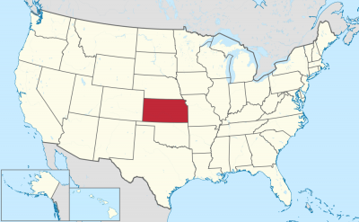
Kansas (engl. Aussprache [ˈkʰænzəs]) ist ein im Mittleren Westen gelegener Bundesstaat der Vereinigten Staaten. Sein Name leitet sich ab von dem Wort Kansa und bedeutet in der Sprache der Sioux „Volk des Südwinds“. Kansas hat den Beinamen Sunflower State (Sonnenblumenstaat). Nach dem Bundesstaat ist der Asteroid des mittleren Hauptgürtels (3124) Kansas benannt.[1]
Kansas grenzt im Norden an Nebraska, im Westen an Colorado, im Süden an Oklahoma, im Osten an Missouri und nimmt in der Liste der flächenmäßig größten Bundesstaaten Platz 15 ein. Die Ost-West-Ausdehnung beträgt 640 Kilometer, die Nord-Süd-Ausdehnung 336 Kilometer. Als geographisches Zentrum der 48 zusammenhängenden Bundesstaaten („contiguous states“, ohne Alaska und Hawaii) der USA (genau in Osborne County) ist Kansas vom Pazifik wie vom Atlantik gleichermaßen weit entfernt. Die größten Flüsse sind Kansas River, Arkansas River, Republican River, Smoky Hill River und Missouri River, der die Nordostgrenze des Staates darstellt.[2]
Die westlichen zwei Drittel von Kansas sind Teil der Central Plains, einer großen Ebene, die meist Präriegebiet ist und einst von großen Büffelherden bewohnt war. Heute werden dort vor allem Rinder gezüchtet und Weizen angebaut. Wegen der mäßigen Niederschlagsmenge wird in der Landwirtschaft in der Regel künstlich bewässert. Das östliche Drittel des Staates ist hügelig, teils bewaldet und hat mehr Niederschlag. Höchster Punkt in Kansas ist der Mount Sunflower im Wallace County (1231 m). Die Hauptstadt von Kansas ist Topeka, die größte Stadt ist Wichita.
堪萨斯州北以内布拉斯加州为界;南以俄克拉荷马州为界;东邻密苏里州;西边则邻科罗拉多州。此州下辖105个县、628座城市。美国48个州的地理中心点位于史密斯县黎巴嫩附近。位于奥斯伯恩县的米德斯农场三角点为北美洲地理中心点。堪萨斯州地理中心点位在巴顿县。
堪萨斯州周围温带大陆型气候,所以无霜期长,可种植的时间长,所以一年四季多有产物,像水果、蔬菜。北美小麦带由美国堪萨斯州向北延伸到美加边境,是世界最大、最重要的小麦生产带。 此州西部由北美大平原所覆盖,大致为平坦或波状地形,而东部多为丘陵和森林。陆地由东向西逐渐上升;此州最低点位于蒙哥马利县科菲维尔的弗迪格里斯河沿线,海拔高度684英尺(208米);而此州最高点则位于华莱士县、距科罗拉多州边界仅半英里的向日葵山,海拔高度4,039英尺(1,231米)。普遍认为堪萨斯州为美国最平坦的州,2003年Tongue-in-cheek研究[1]指出堪萨斯州“确实比煎饼还要平坦”[2]。这个研究后来被受质疑,大多数科学家依据测量法来排定出堪萨斯州为美国第20平坦至第30平坦之间的州。此州平均海拔高度约2,000英尺(610米)[3]。
密苏里河位于此州东北边将近75英里(121千米)处。堪萨斯河(当地人称之为卡奥)发源于章克申城的斯莫基希尔河及里帕布利克河交汇处,流入堪萨斯城后与密苏里河会合,此条河流长148英里(238千米),为一条横跨堪萨斯州东北部的河川。
阿肯色河发源于科罗拉多州,横跨堪萨斯州西部和南部将近500英里(800千米)。此条河川的支流有小阿肯色河、宁斯卡河、沃尔纳特河、考溪、锡马龙河、弗迪格里斯河以及尼欧肖河等,这些河流形成了堪萨斯州南部水系。
其他位于堪萨斯州的河川如斯莫基希尔河的支流萨林河和所罗门河,还有大布卢河、德拉瓦河以及瓦卡鲁萨河,这些河川最后皆流入于堪萨斯河。州内有密苏里河的支流梅里德辛河。斯普林河位于堪萨斯州里弗顿和堪萨斯州巴克斯特斯普林斯之间。
カンザス州(英: State of Kansas [ˈkænzəs] (![]() 音声ファイル))は、アメリカ合衆国の中西部に位置する州である[2]。ネブラスカ州、オクラホマ州、コロラド州、ミズーリ州と隣接する。
音声ファイル))は、アメリカ合衆国の中西部に位置する州である[2]。ネブラスカ州、オクラホマ州、コロラド州、ミズーリ州と隣接する。
全域がグレートプレーンズ(大平原)の真っ只中にあって土地が平坦であり、大規模農業に適しているため農業、また牧畜業が盛んである。反面、地形の変化に乏しく、州全体に単調な田園風景が延々と広がっている。
州都はトピカ市であり、州最大の町はウィチタ市、次いでカンザス市、オーバーランドパーク市、州都トピカ市と続く。
Kansas /ˈkænzəs/ (![]() listen) is a U.S. state in the Midwestern United States.[10] Its capital is Topeka and its largest city is Wichita.[11] Kansas is bordered by Nebraska to the north; Missouri to the east; Oklahoma to the south; and Colorado to the west. Kansas is named after the Kansas River, which in turn was named after the Kansa Native Americans who lived along its banks.[12][13][14][15] The tribe's name (natively kką:ze) is often said to mean "people of the (south) wind" although this was probably not the term's original meaning.[16][17] For thousands of years, what is now Kansas was home to numerous and diverse Native American tribes. Tribes in the eastern part of the state generally lived in villages along the river valleys. Tribes in the western part of the state were semi-nomadic and hunted large herds of bison.
listen) is a U.S. state in the Midwestern United States.[10] Its capital is Topeka and its largest city is Wichita.[11] Kansas is bordered by Nebraska to the north; Missouri to the east; Oklahoma to the south; and Colorado to the west. Kansas is named after the Kansas River, which in turn was named after the Kansa Native Americans who lived along its banks.[12][13][14][15] The tribe's name (natively kką:ze) is often said to mean "people of the (south) wind" although this was probably not the term's original meaning.[16][17] For thousands of years, what is now Kansas was home to numerous and diverse Native American tribes. Tribes in the eastern part of the state generally lived in villages along the river valleys. Tribes in the western part of the state were semi-nomadic and hunted large herds of bison.
Kansas was first settled by Americans in 1827 with the establishment of Fort Leavenworth. The pace of settlement accelerated in the 1850s, in the midst of political wars over the slavery debate. When it was officially opened to settlement by the U.S. government in 1854 with the Kansas–Nebraska Act, abolitionist Free-Staters from New England and pro-slavery settlers from neighboring Missouri rushed to the territory to determine whether Kansas would become a free state or a slave state. Thus, the area was a hotbed of violence and chaos in its early days as these forces collided, and was known as Bleeding Kansas. The abolitionists prevailed, and on January 29, 1861,[18][19] Kansas entered the Union as a free state, hence the unofficial nickname "The Free State".
By 2015, Kansas was one of the most productive agricultural states, producing high yields of wheat, corn, sorghum, and soybeans.[20] Kansas, which has an area of 82,278 square miles (213,100 square kilometers) is the 15th-largest state by area and is the 34th most-populous of the 50 states with a population of 2,913,314. Residents of Kansas are called Kansans. Mount Sunflower is Kansas's highest point at 4,039 feet (1,231 meters).[21]
Le Kansas (/kɑ̃n.sas/2 ; en anglais : /ˈkæn.zəs/3) est un État du Midwest des États-Unis. Il est bordé au nord par le Nebraska, à l'est par le Missouri, au sud par l'Oklahoma et à l'ouest par le Colorado.
Il Kansas (AFI: /ˈkansas/[2]; in inglese: , /ˈkænzəs/) è uno stato federato del Midwest degli Stati Uniti d'America e si trova nel centro geografico dell'America settentrionale. Il nome Kansas deriva dalla parola sioux Kansa, che significa "popolo del vento del sud". La capitale è Topeka, la città più grande Wichita.
Era la patria di molti nativi americani che cacciavano lì il bisonte americano. Lo stato venne colonizzato dagli europei a partire dal 1850. Oggi il Kansas è uno degli stati agricoli più produttivi.
Kansas es uno de los cincuenta estados que, junto con Washington D. C., forman los Estados Unidos de América. Su capital es Topeka y su ciudad más poblada, Wichita. Está ubicado en la región Medio Oeste del país, división Centro Noroeste, limitando al norte con Nebraska, al este con Misuri, al sur con Oklahoma y al oeste con Colorado. El 29 de enero de 1861, se convirtió en el 34º estado estadounidense.
El centro geográfico de los 48 Estados Unidos contiguos está localizado en su zona norte, en el condado de Smith. El centro geodésico de América del Norte también se encuentra en su territorio, en Osborne. Este se utiliza como punto de referencia para todos los mapas del gobierno federal.
Es uno de los líderes nacionales de la industria agropecuaria. Es el mayor productor nacional de trigo, por lo que se le conoce como el Wheat State (Estado del Trigo) y Breadbasket of America (Panera de América, o Granero de América). Posee también uno de los mayores rebaños de ganado bovino del país. La agricultura y la ganadería fueron durante gran parte de su historia su principal fuente de renta. Dodge City es considerada por muchos como la "Capital Mundial de los Cowboys". También tiene una fuerte industria minera, y es líder nacional en la producción de petróleo y gas natural. Actualmente, las principales fuentes de renta del estado son el comercio y la industria.
Durante la década de 1850, con la Ley de Kansas-Nebraska, gran número de abolicionistas y defensores del trabajo esclavo se instalaron en este estado. Fue el escenario de muchos enfrentamientos entre milicias abolicionistas y esclavistas, así como en el estado vecino de Misuri (donde el trabajo esclavo estaba permitido). Estos conflictos eran tan violentos que recibió el apodo de Bleeding Kansas (Kansas Sangrante). Otro apelativo con sus orígenes en este conflicto es Jayhawker State. Jayhawker es el acto común de los abolicionistas de invadir granjas esclavistas en Misuri, saquear haciendas y liberar esclavos.
El apodo más conocido de es The Sunflower State (El Estado Girasol). Los girasoles cubren buena parte de sus llanuras. El nombre Kansas se origina en la tribu amerindia kansa, que vivían en la región hasta el siglo XVIII. Kansa significa "pueblo de los vientos del sur".
Ка́нза́с[1] (ударение в названии может падать как на первый[2], так и на последний слог[3]; англ. Kansas, американское произношение: [ˈkænzəs] (![]() слушать)) — штат[4] в центральной части США, один из штатов Среднего Запада. Население — 2 871 238 человек (2011). Столица — город Топика. Крупнейший город — Уичито. Штат также называют «житницей Америки»: он лидирует среди штатов по выращиванию пшеницы. Цветок штата — подсолнух, дерево штата — тополь. Девиз — «Через тернии к звёздам» (лат. Ad astra per aspera). На языке индейцев, населявших Канзас, название штата означает «люди южного ветра». Штат, большая часть которого занята Великими равнинами, граничит с Небраской на севере, Миссури на востоке, Оклахомой на юге и Колорадо на западе. Крупнейшие реки региона Миссури и Арканзас относятся к бассейну крупнейшей реки Северной Америки — Миссисипи.
слушать)) — штат[4] в центральной части США, один из штатов Среднего Запада. Население — 2 871 238 человек (2011). Столица — город Топика. Крупнейший город — Уичито. Штат также называют «житницей Америки»: он лидирует среди штатов по выращиванию пшеницы. Цветок штата — подсолнух, дерево штата — тополь. Девиз — «Через тернии к звёздам» (лат. Ad astra per aspera). На языке индейцев, населявших Канзас, название штата означает «люди южного ветра». Штат, большая часть которого занята Великими равнинами, граничит с Небраской на севере, Миссури на востоке, Оклахомой на юге и Колорадо на западе. Крупнейшие реки региона Миссури и Арканзас относятся к бассейну крупнейшей реки Северной Америки — Миссисипи.

 AIRBUS
 Airbus Helicopters
 AIRBUS
 Airbus
 AIRBUS
 Airbus Defence and Space
 Airbus A300
 Airbus A310
 Airbus A320
 Airbus A330
 Airbus A340
 Airbus A350
 Airbus A380
 Airbus Group
 Airbus

 Alabama-AL

 Andalusia

 Bremen

 Castilla-La Mancha
 China
China
 Germany
 England

 Florida-FL
 France

 Hamburg

 Kansas-KS

 Aerospace
 Civil aircraft

 Madrid


 Military, defense and equipment
 Military aircraft

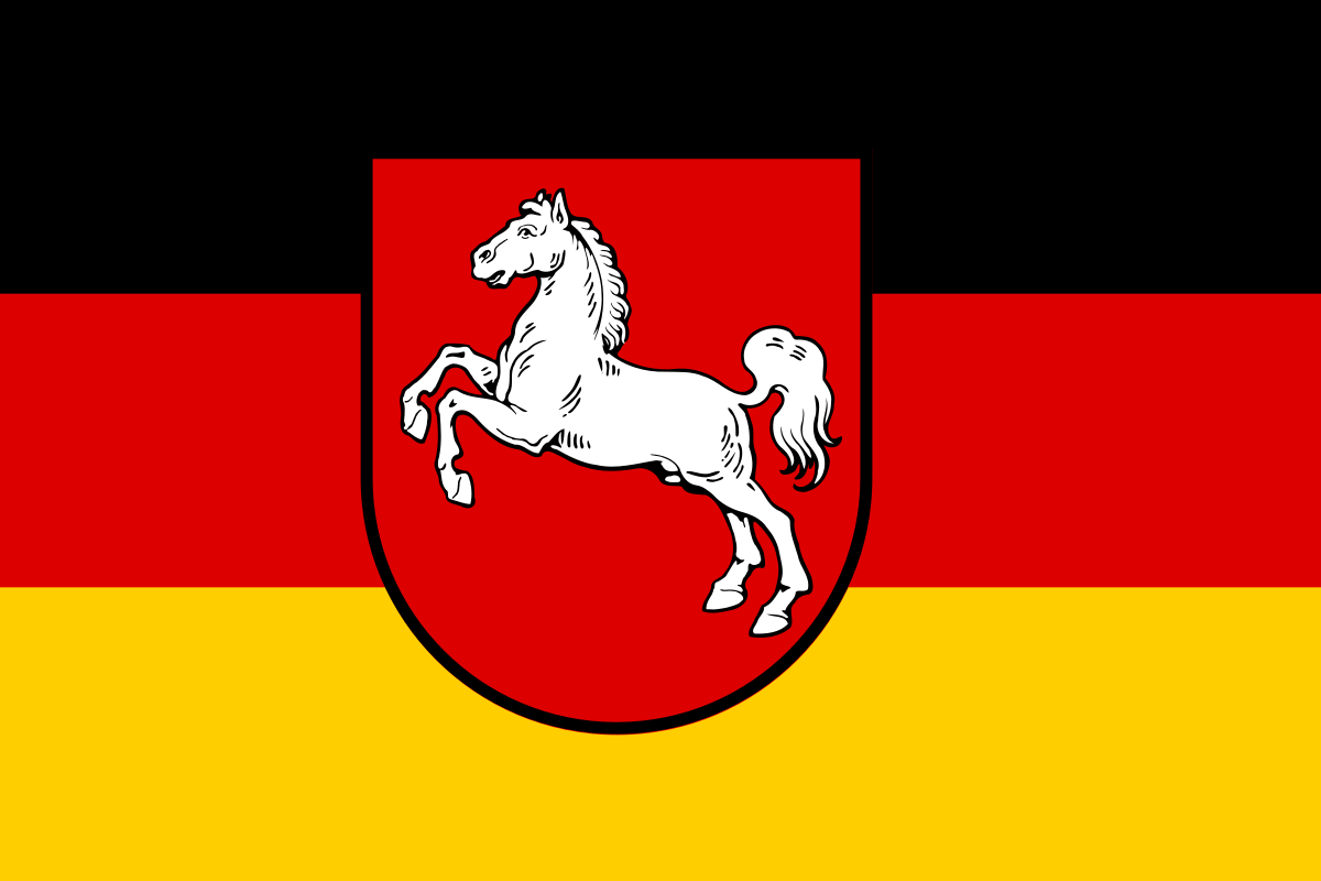 Lower Saxony

 Occitania

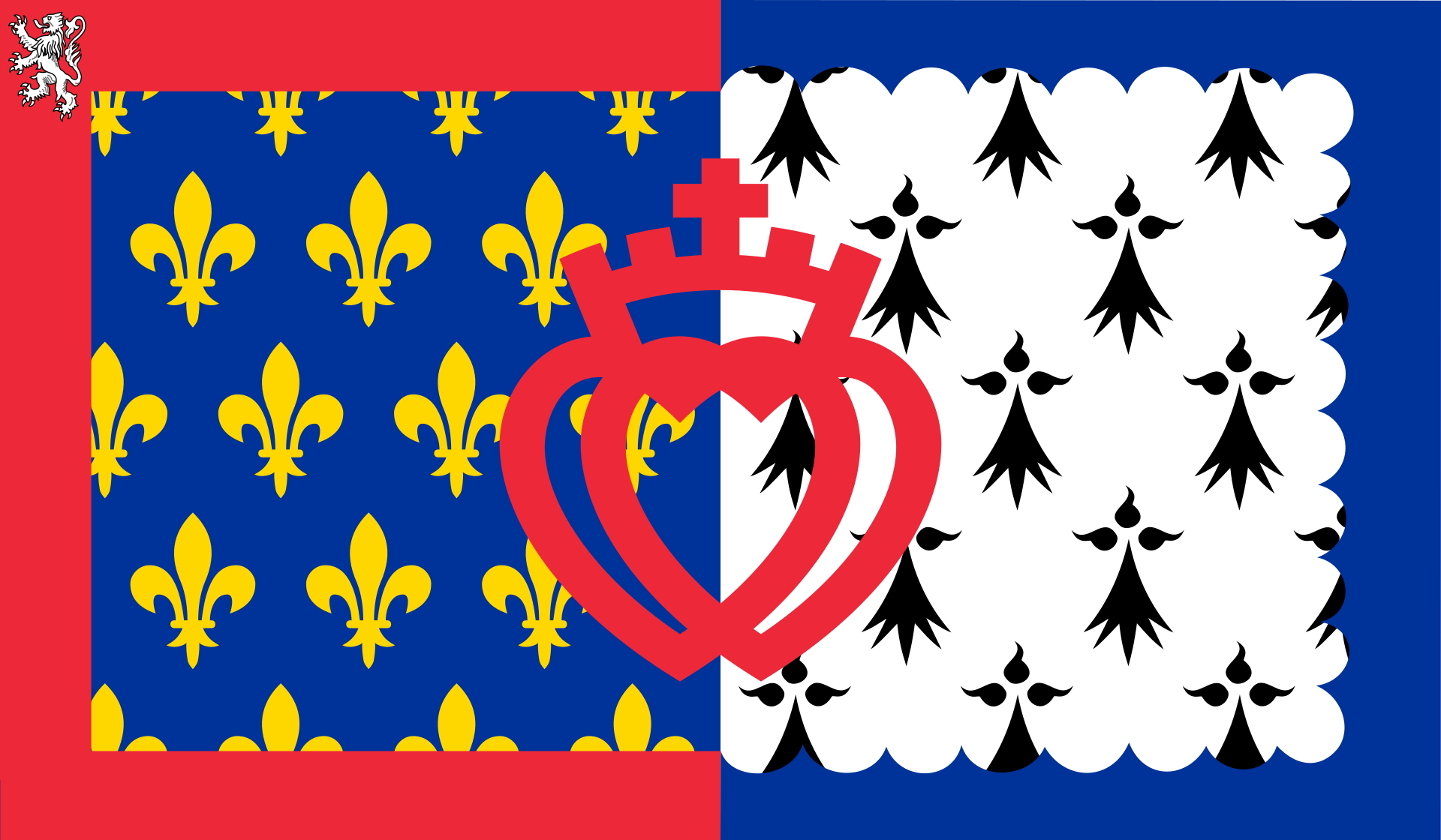 Pays-de-la-Loire
 Spain
Spain
 Tianjin Shi-TJ
 United States
 United Kingdom

 Virginia-VA
 Wales
Wales

 Washington, D.C.

 Science and technology

 Film & TV Produktion

 IT-Times
 Companies
 Financial
 Agriculture, forestry, livestock, fishing
 Eat and Drink
 Geography
 Arkansas-AR
 Colorado-CO
 Oklahoma-OK
 Transport and traffic
 Architecture
 Energy resource