
漢德百科全書 | 汉德百科全书
 Geography


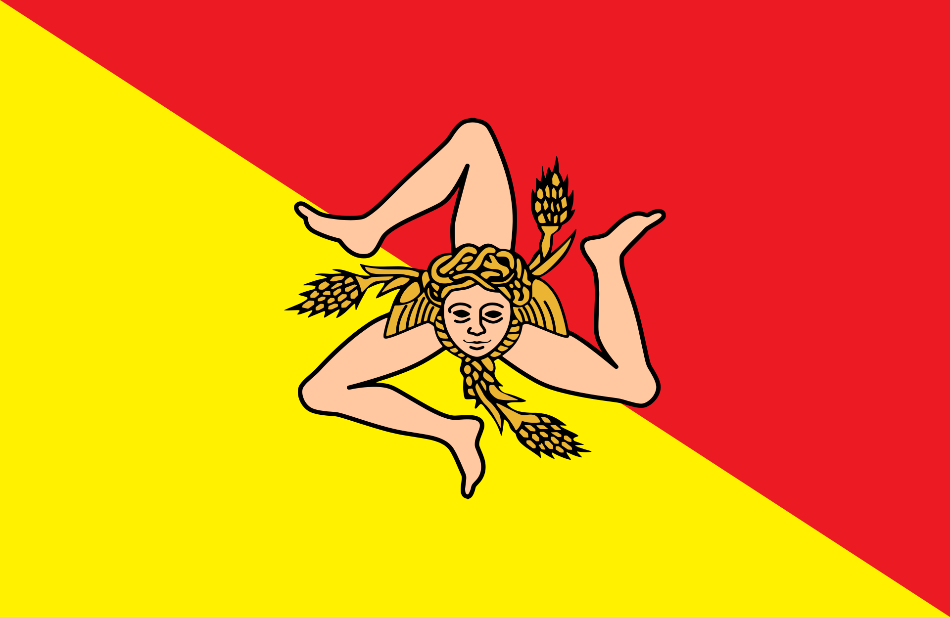 Sicilia
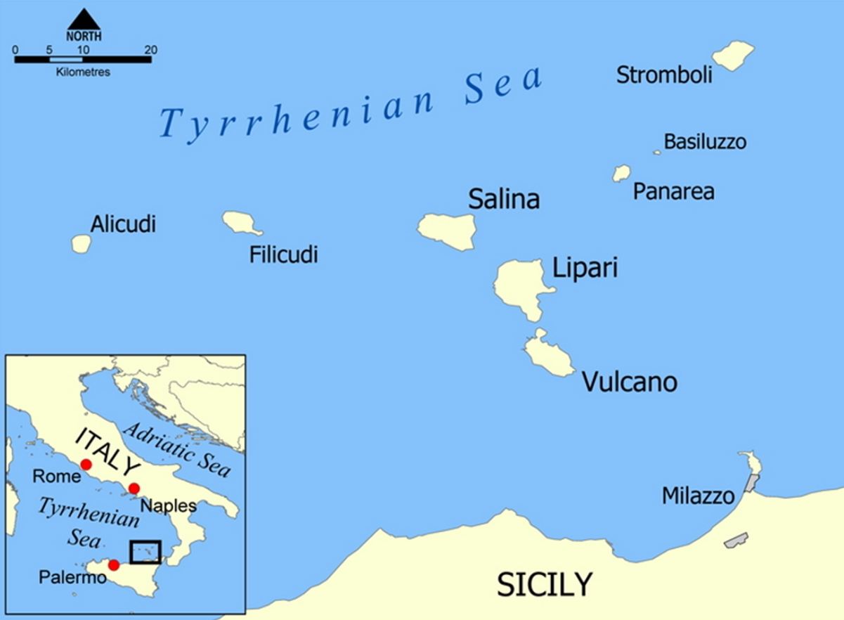
Die Liparischen Inseln oder auch Äolischen Inseln (italienisch Isole Lipari oder Isole Eolie) sind eine Inselgruppe im Tyrrhenischen Meer nördlich von Sizilien. Zur Inselgruppe mit einer Gesamtfläche von 115,4 km² zählen sieben bewohnte Inseln mit etwa 13.768 Einwohnern (Stand: 31. Dezember 2009), die zur italienischen Region Sizilien gehören.
Die Inseln sind vulkanischen Ursprungs und wurden 2000 von der UNESCO zum Weltnaturerbe erklärt mit der Begründung, „dass die vulkanischen Landschaften der Inseln klassische Gegenstände der fortdauernden Untersuchung der Vulkanologie weltweit darstellen. Durch ihre wissenschaftliche Erforschung zumindest vom 18. Jahrhundert an haben die Inseln den Lehrbüchern der Geologie und Vulkanologie zwei Arten von Eruptionen (Vulcano-Typ und Stromboli-Typ) geliefert und so für mehr als 200 Jahre eine wichtige Rolle bei der Ausbildung aller Geowissenschaftler gespielt. Sie bieten weiter ein reiches Feld für vulkanologische Untersuchungen fortdauernder geologischer Prozesse bei der Bildung von Landschaften.“[1]
埃奥利群岛(意大利语:Isole Eolie,西西里语:Ìsuli Eoli),又名利帕里群岛(意大利语:Isole Lipari),是位于西西里岛北侧第勒尼安海中的火山群岛,得名于半神半人的风神埃俄罗斯[1]。埃奥利群岛在夏季是一个热门的旅游目的地,每年吸引游客多达20万。
埃奥利群岛中最大的岛屿是利帕里岛,此外还有武尔卡诺岛、萨利纳岛、斯特龙博利岛、菲利库迪岛、阿利库迪岛、帕纳雷阿岛和巴西卢佐岛。
埃奥利群岛是斯特朗博利型火山喷发和武尔卡诺型火山喷发两个火山学词语的起源地,因此被列为世界遗产,也被列入受到威胁的名单[2]。
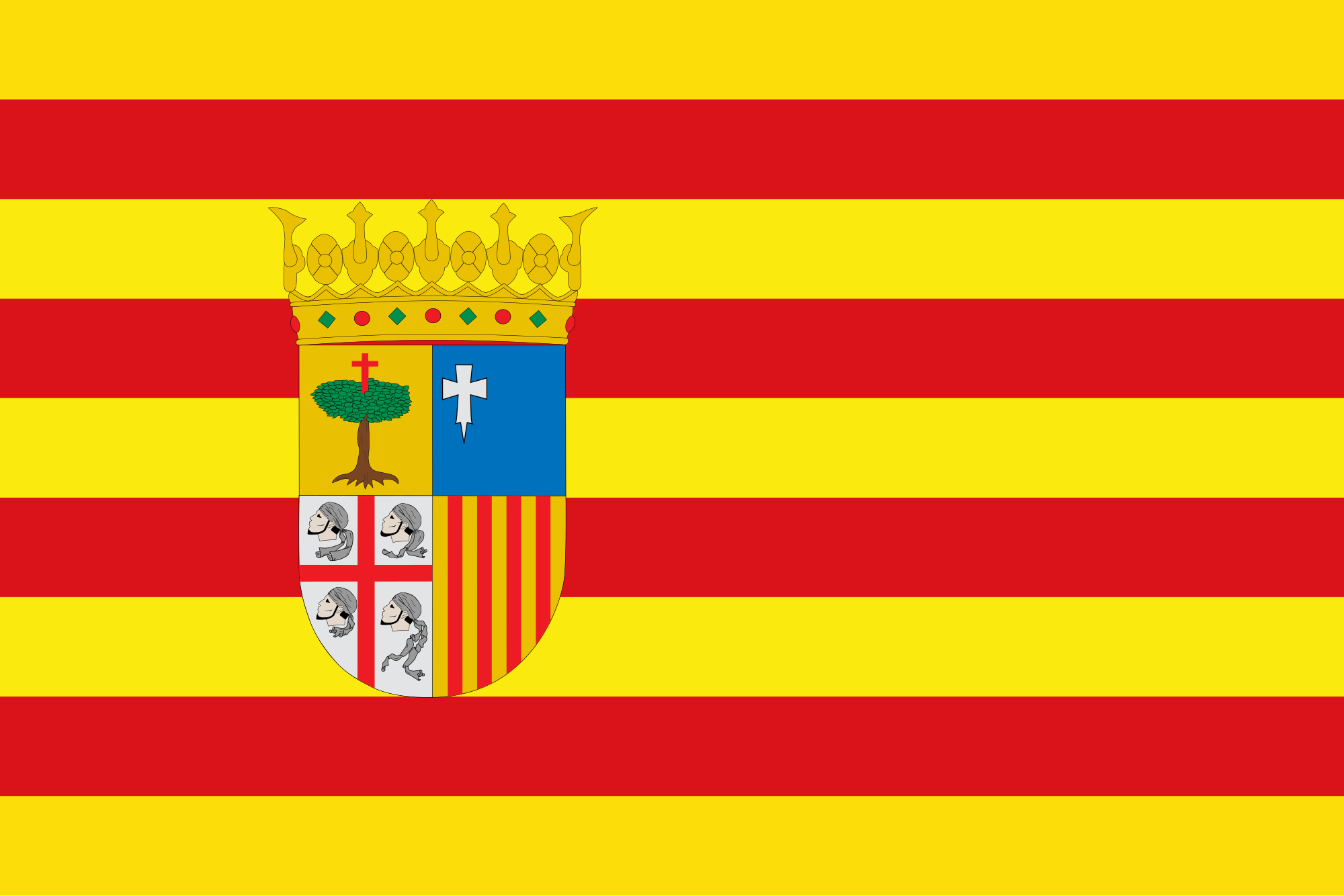 Aragón
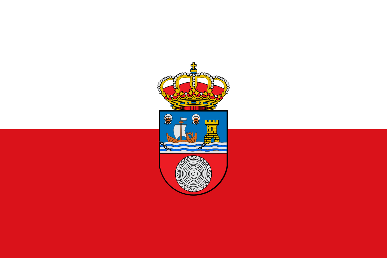 Cantabria
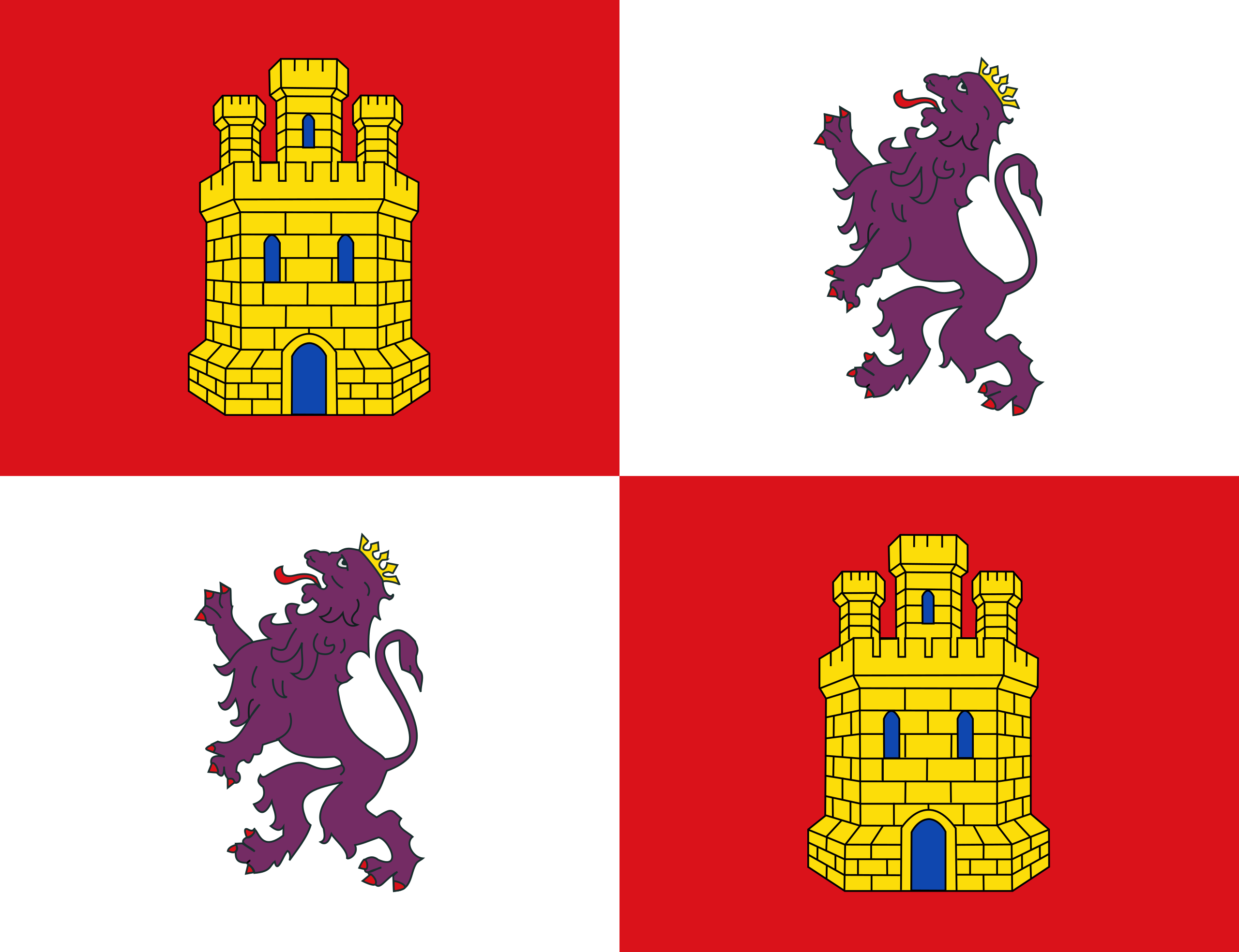 Castilla y León
 Cataluña
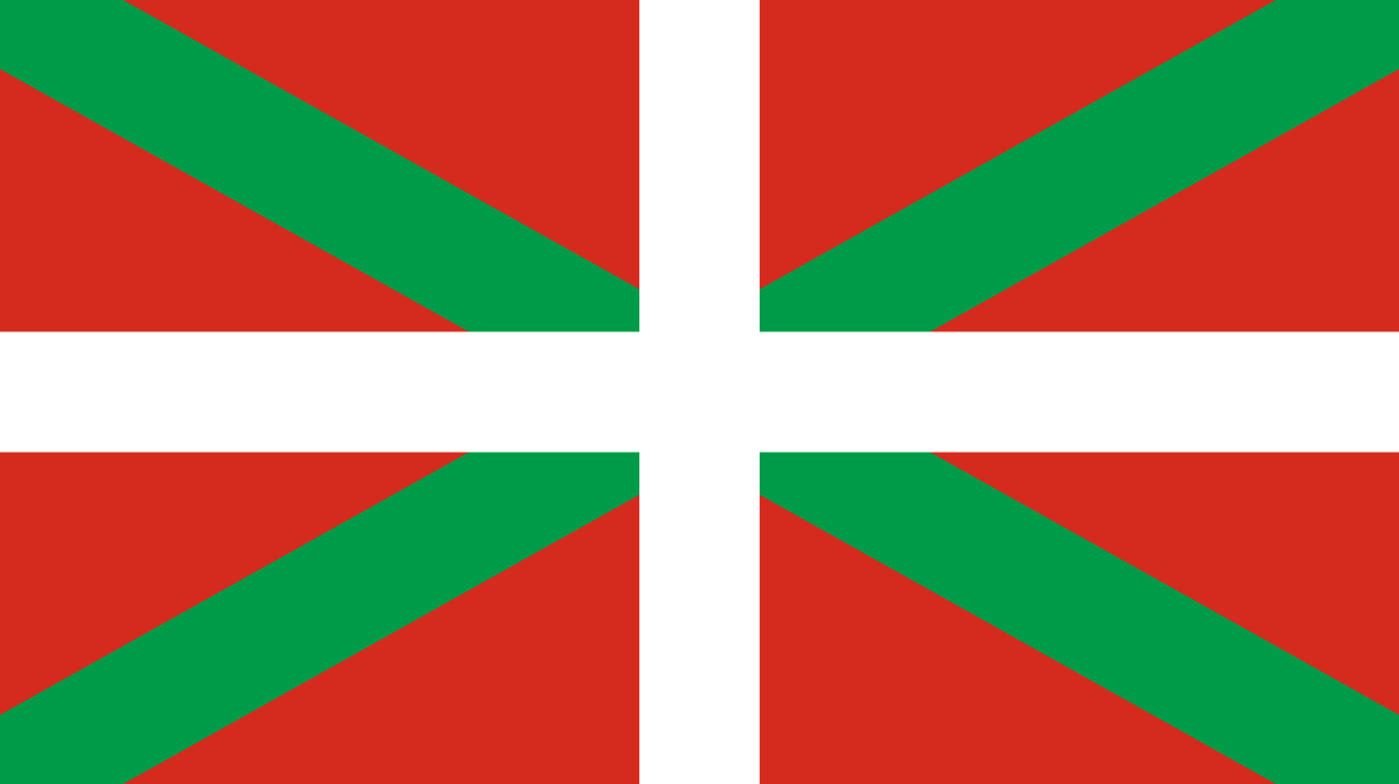 Comunidad Autónoma del País Vasco
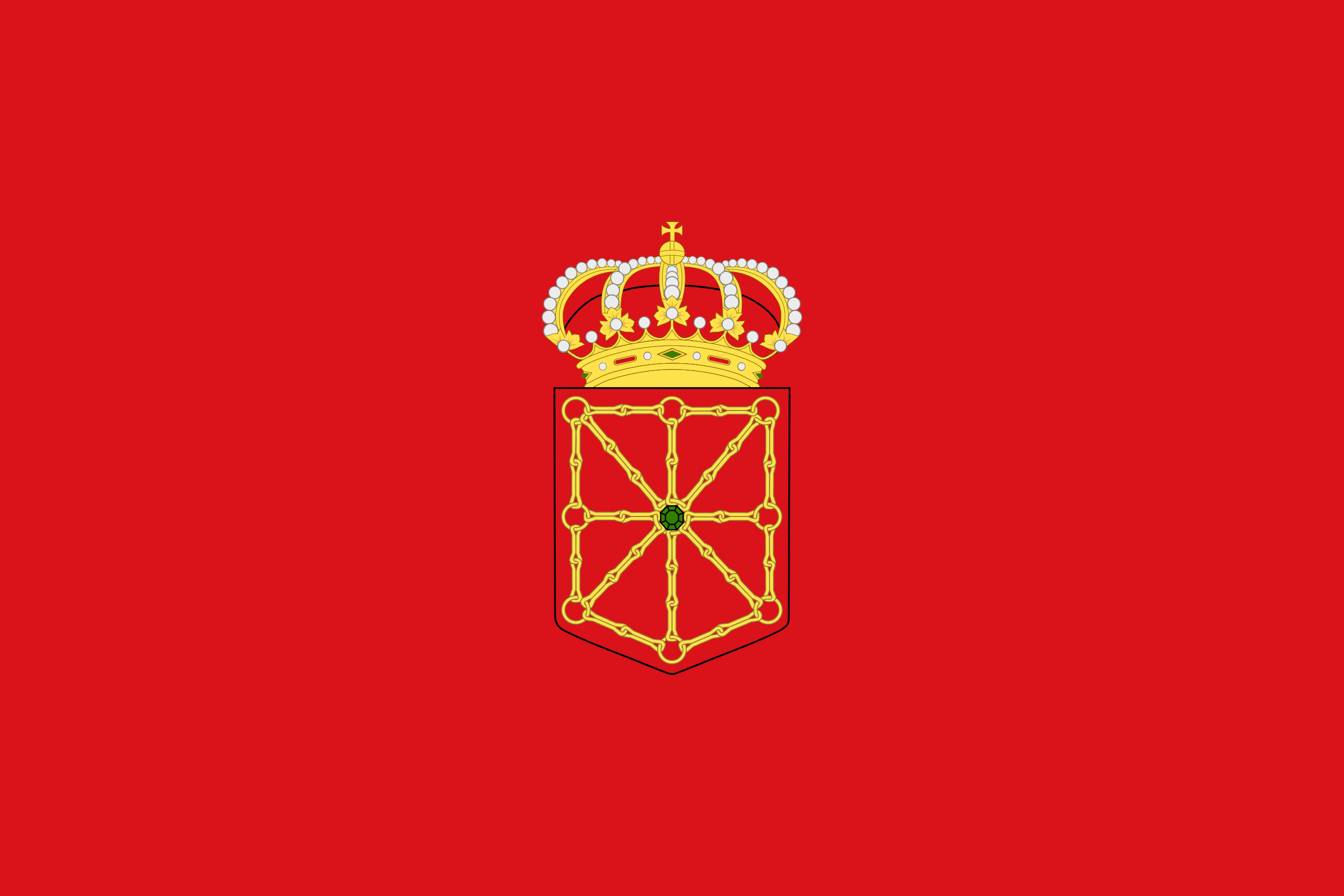 Foral Community of Navarra
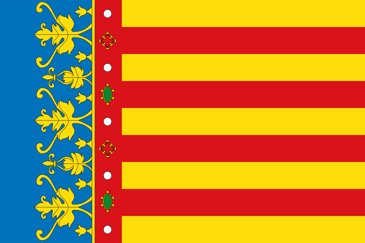 Valencian Community
 La Rioja
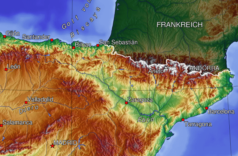
Spain
La Rioja
Spain
 Schleswig-Holstein

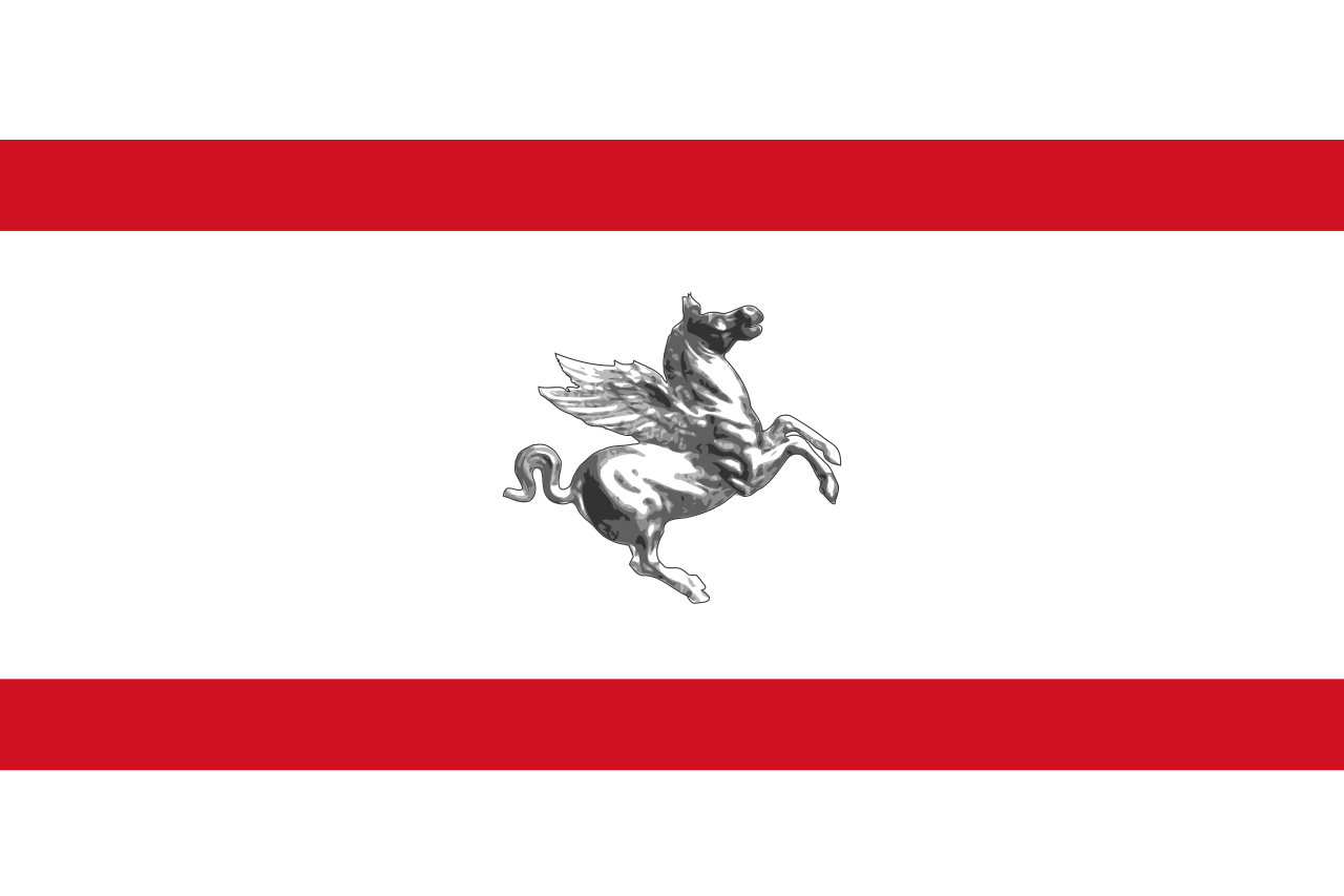 Toscana
 Ski vacation
 Animal world
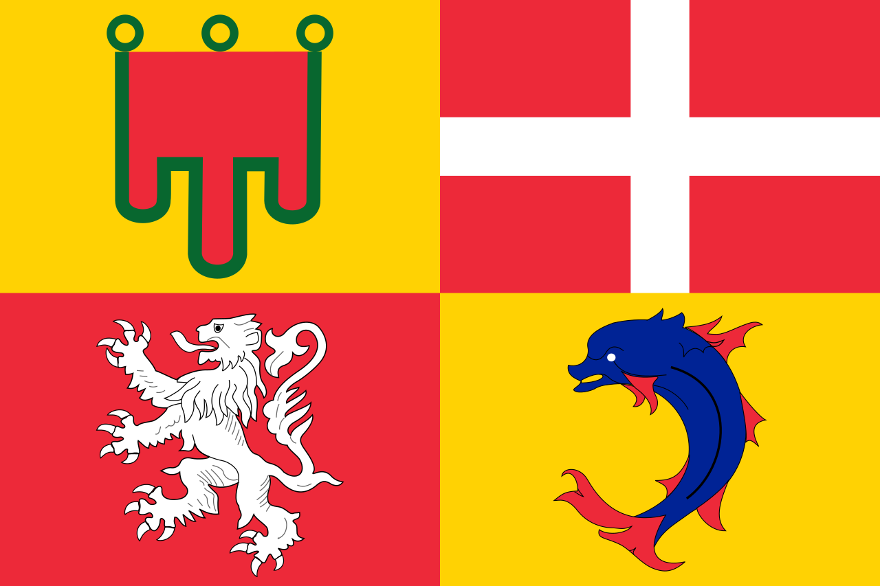 Auvergne-Rhône-Alpes

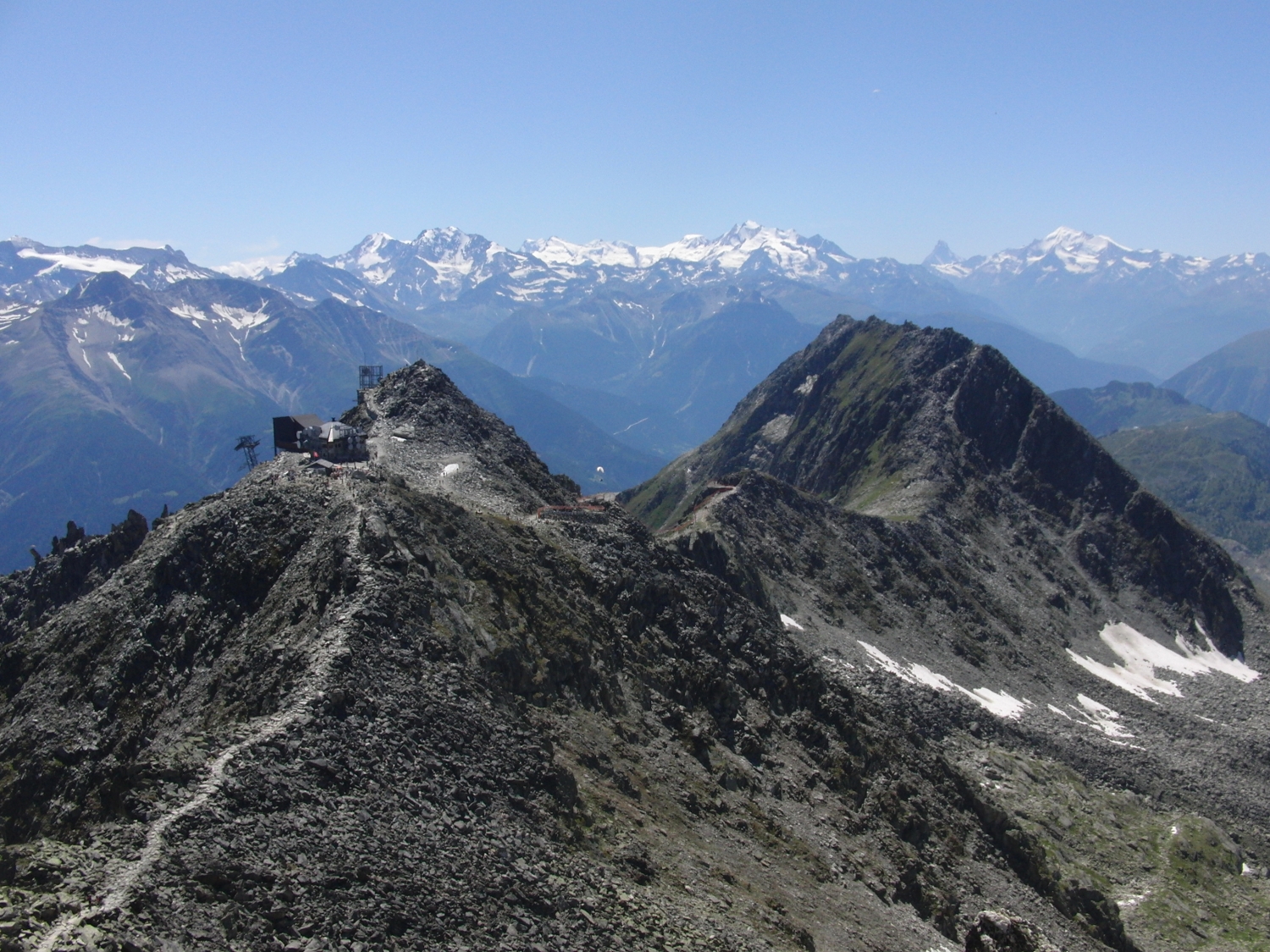
Der Nationalpark Écrins (französisch Parc national des Écrins) ist der fünfte französische Nationalpark, der besonders den Lebensraum im Hochgebirge schützen soll. Er liegt in den Dauphiné-Alpen zwischen den Städten Grenoble, Briançon und Gap. Sein Kernbereich liegt im Écrins-Massiv. Dort wurde bereits 1913 bei La Berarde ein Nationalpark gegründet, der aber nur kurz bestand. Erst 1973 wurde der Nationalpark Écrins auf Betreiben von Bergsteigern, Naturschutzverbänden und des Club Alpin Français offiziell gegründet. Der gesamte Park umfasst 1788 km² wobei die besonders geschützte Kernzone eine Fläche von 925 km² hat. Im Nationalpark Écrins wurden knapp 8000 verschiedene Pflanzen- und Tierarten beobachtet. Sie verteilen sich auf unterschiedliche Lebensräume, die von ca. 700 m Höhe bis 4102 m reichen.
埃克兰国家公园(法语:Parc national des Écrins),是法国的国家公园,位于法国东南部格勒诺布尔以南、加普以北的多菲内山,其最高峰巴尔德塞克兰峰高达4102米。该区域内包括众多山峰、冰川、河流、湖泊,以及阿尔卑斯山区的各类动物和植被,景色迷人,每年吸引来自各国的游客多达80万。
 Lower Saxony

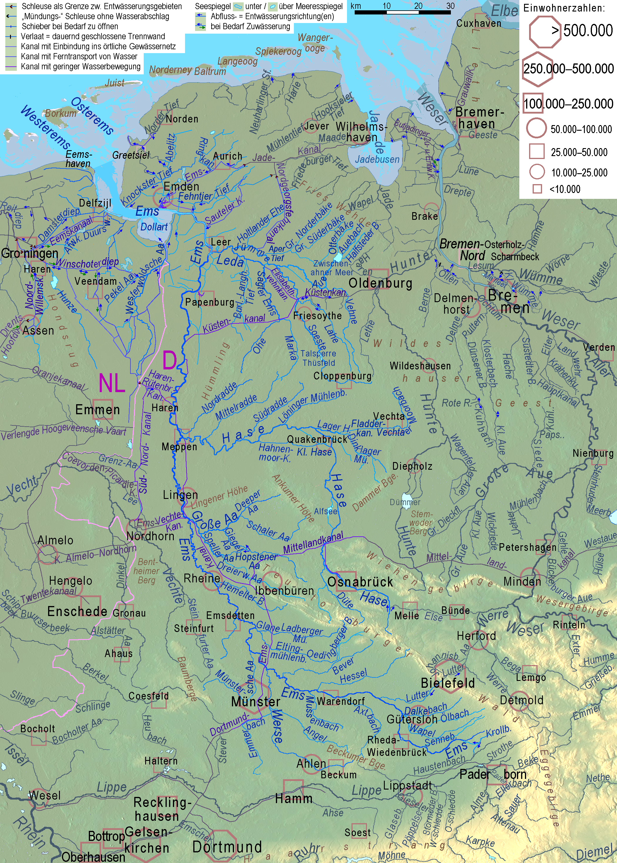
 North Rhine-Westphalia
 Brandenburg

 Party and government


 Extremadura


