
Deutsch-Chinesische Enzyklopädie, 德汉百科
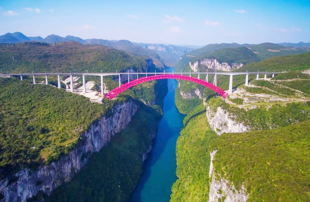
 Guizhou Sheng-GZ
 Architecture

 Geography

Der Fluss Nanpan Jiang (chinesisch 南盘江) entspringt im Osten der südwestchinesischen Provinz Yunnan im Grenzgebiet zu den Provinzen Guizhou und Guangxi.
Seine Quelle liegt auf dem Gebiet des Kreises Zhanyi von Qujing am östlichen Fuß des Maxiong Shan 马雄山, von dort fließt er südwärts bis Kaiyuan, dann nordostwärts. Im Kreis Wangmo in der Provinz Guizhou vereinigt er sich mit dem Beipan Jiang 北盘江 zum Hongshui He 红水河, dem linken Nebenfluss des Westflusses (Xi Jiang 西江). Der Nanpan Jiang hat eine Länge von 856 km, sein Einzugsgebiet beträgt 56.200 Quadratkilometer[1]. Er fließt durch ein Kalksteingebiet. An größeren Wasserkraftwerken gibt es das Tianshengqiao-Kraftwerk und das Lubuge-Kraftwerk.
 *Changjiang|Yangtze River
*Yellow river
Anhui Sheng-AH
Guangdong Sheng-GD
Guangxi Zhuangzu Zizhiqu-GX
Guizhou Sheng-GZ
Hebei Sheng-HE
Henan Sheng-HA
Hubei Sheng-HB
Hunan Sheng-HN
Jiangsu Sheng-JS
Jiangxi Sheng-JX
Ministerium der Volksrepublik China für Notfallmanagement
Shanghai Shi-SH
Sichuan Sheng-SC
Zhejiang Sheng-ZJ
*Changjiang|Yangtze River
*Yellow river
Anhui Sheng-AH
Guangdong Sheng-GD
Guangxi Zhuangzu Zizhiqu-GX
Guizhou Sheng-GZ
Hebei Sheng-HE
Henan Sheng-HA
Hubei Sheng-HB
Hunan Sheng-HN
Jiangsu Sheng-JS
Jiangxi Sheng-JX
Ministerium der Volksrepublik China für Notfallmanagement
Shanghai Shi-SH
Sichuan Sheng-SC
Zhejiang Sheng-ZJ

 China
Guangdong Sheng-GD
Guangxi Zhuangzu Zizhiqu-GX
Guizhou Sheng-GZ
Hongkong Tebiexingzhengqu-HK
Macau Tebiexingzhengqu-MO
Yunnan Sheng-YN
China
Guangdong Sheng-GD
Guangxi Zhuangzu Zizhiqu-GX
Guizhou Sheng-GZ
Hongkong Tebiexingzhengqu-HK
Macau Tebiexingzhengqu-MO
Yunnan Sheng-YN

珠江,旧称粤江,是中国南方的一条河流,原指广州到入海口约96公里长的一段河道,因流经广州市区的海珠石而得名,后成为西江、北江、东江和珠江三角洲诸河等复合水系的总称,地跨中国云南、贵州、广西、广东、湖南、江西六省区及越南部分地区,干流长度2214公里,为中国境内第四长河流,按径流量为中国第二大河流。
Der Perlfluss (auch Perlstrom, chinesisch 珠江, Pinyin Zhū Jiāng, Jyutping Zyu1 Gong1) ist ein 177 Kilometer langes Ästuar in Südchina in der Provinz Guangdong; der Name stammt von der früher im Flussbett gelegenen Insel „Seeperle“ (海珠, Hǎizhū, Jyutping Hoi2zyu1). Historisch ist der Fluss auch als „Yue Jiang“ oder „Yuejiang“ bekannt (粵江 / 粤江, Yuè Jiāng, Jyutping Jyut6 Gong1 – „Guangdong-Fluss, Kanton-Fluss oder Strom der Yue“).
In seinem oberen Teil, der auch die Metropole Guangzhou durchzieht, begegnen sich die Mündungsdeltas von Nordfluss und Ostfluss. Der untere Teil, die Perlflussmündung (珠江口, Zhūjiāng Kǒu, Jyutping Zyu1gong1 Hau2) ist eine bis zu 30 Kilometer breite Bucht des Südchinesischen Meeres, deren Westseite vom großen Delta des Westflusses flankiert wird. Die drei Flussdeltas bilden ein gemeinsames, vielarmiges Geflecht von Wasserläufen und Schären, das Perlflussdelta.


