
Deutsch-Chinesische Enzyklopädie, 德汉百科
 Animal world

 Amazonas
 Bolivia
 Brazil
 Columbia
 Ecuador
 Ecuador

 Agriculture, forestry, livestock, fishing
 Peru
Peru
 Suriname

 Animal world
 Venezuela
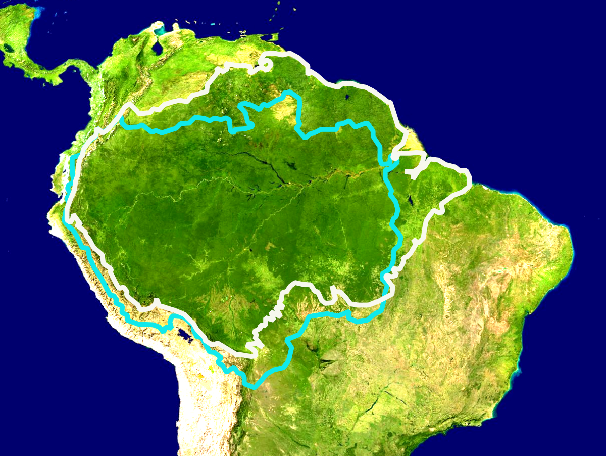
Der Amazonas-Regenwald bedeckt große Teile des Amazonasbeckens in Südamerika, welches sechs Millionen Quadratkilometer in neun Ländern umfasst. Der weitaus größte Teil des Waldes (etwa 60 Prozent) befindet sich in Brasilien. Weitere 13 Prozent befinden sich in Peru, 10 Prozent in Kolumbien sowie kleinere Teile in Venezuela, Ecuador, Bolivien, Guyana, Suriname sowie Französisch-Guyana. Bundesstaaten und Verwaltungseinheiten von vier Ländern tragen den Namen Amazonas.
Der Amazonas-Regenwald umfasst mehr als die Hälfte des weltweit verbliebenen Tropenwaldes und weist die größte Biodiversität aller tropischen Wälder auf. Amazonien ist eines der sechs großen Biome Brasiliens und nimmt rund 49 Prozent des brasilianischen Territoriums ein.[1] Es erstreckt sich über drei der fünf statistischen Regionen des Landes (Norte, Nordeste und Centro-Oeste). Ein 52.000 km² großes Gebiet im zentralen Amazonas-Regenwald, das den Nationalpark Jaú umfasst, wurde von der UNESCO 2000 (mit Erweiterung 2003) zum Welterbe erklärt.[2] Sozialgeographisch ist das Amazonasbecken in Brasilien der Region Amazônia Legal zugeordnet. Zum Zweck der wirtschaftlichen Entwicklung der Region wurde 1966 die Superintendência do Desenvolvimento da Amazônia (SUDAM) geschaffen.
Die langfristige Fortexistenz des Amazonas-Regenwald im Anthropozän steht im Konflikt mit den Interessen einer mächtigen Agrarindustrie:[3] Alleine der brasilianische Regenwald schrumpfte nach Regierungsangaben durch Raubbau zwischen August 2017 und Juli 2018 um insgesamt 7900 km² Wald, was der Fläche von mehr als einer Million Fußballfeldern entspricht.
アマゾン熱帯雨林(アマゾンねったいうりん、英: Amazon Rainforest、西: Selva Amazónica、葡: Floresta Amazônica)とは、南アメリカ大陸アマゾン川流域に大きく広がる、世界最大面積を誇る熱帯雨林である。2019年の大火事で10%の面積を焼失したとされる。[要出典]森林破壊が原因と見られる、木が大量に枯死する等の現象が多発しており、焼き畑と合わせて二酸化炭素大量放出の原因になっており問題になっている。
The Amazon rainforest,[a] alternatively, the Amazon Jungle, also known in English as Amazonia, is a moist broadleaf tropical rainforest in the Amazon biome that covers most of the Amazon basin of South America. This basin encompasses 7,000,000 km2 (2,700,000 sq mi), of which 5,500,000 km2 (2,100,000 sq mi) are covered by the rainforest. This region includes territory belonging to nine nations.
The majority of the forest is contained within Brazil, with 60% of the rainforest, followed by Peru with 13%, Colombia with 10%, and with minor amounts in Bolivia, Ecuador, French Guiana, Guyana, Suriname, and Venezuela. Four nations have "Amazonas" as the name of one of their first-level administrative regions and France uses the name "Guiana Amazonian Park" for its rainforest protected area. The Amazon represents over half of the planet's remaining rainforests,[2] and comprises the largest and most biodiverse tract of tropical rainforest in the world, with an estimated 390 billion individual trees divided into 16,000 species.
La forêt amazonienne (en portugais floresta amazônica ; en espagnol selva amazónica ; en anglais Amazon rainforest), également connue sous le nom d'« Amazonie » ou « jungle amazonienne », est une forêt équatoriale d'Amérique du Sud couvrant la totalité du bassin versant du fleuve Amazone ainsi que des zones périphériques comme le plateau des Guyanes. Elle s'étend sur 9 Pays, principalement au Brésil (63%).
Avec près de 390 milliards d'arbres (16 000 espèces ; 13% des arbres de la planète ; près de 60 fois plus d'arbres « adultes » dans la forêt amazonienne que d'êtres humains sur l'ensemble de la planète)2, c'est l'une des trois plus importantes forêts primaires du monde3. Elle est souvent qualifiée de « poumon de la terre » bien qu'en réalité les océans produisent bien plus d'oxygène4 ; elle produirait entre 20% 5 et plus probablement 6% de l'oxygène6.
C'est le plus grand réservoir de biodiversité au monde, menacé par le réchauffement7, l'orpaillage et la déforestation (depuis 1970, environ 18 % de la forêt originelle a disparu). Elle abrite trois grandes aires protégées : le complexe de conservation de l'Amazonie centrale8 au Brésil, le parc national de Manú9 au Pérou et le parc national Noel Kempff Mercado10 en Bolivie ; inscrites sur la liste du patrimoine mondial par l'organisation des Nations unies pour l'éducation, la science et la culture (UNESCO). Le Parc Amazonien de Guyane, en Guyane française, est le plus grand parc national français mais aussi le plus grand parc de l'Union Européenne11. Couvrant près de 34 000 km², il constitue, avec le Parc National des montagnes du Tumucumaque qui lui est adjacent, l'un des plus grands espaces naturels protégés au monde.
L'Amazzonia è una vasta regione geografica del sud-America caratterizzata da una foresta pluviale, detta foresta amazzonica, che copre gran parte dell'omonimo bacino amazzonico, estendendosi su una superficie di sei milioni di chilometri quadrati suddivisi in nove paesi; la stragrande maggioranza della foresta (circa il 60%) si trova in Brasile; un altro 13% si trova in Perù, il 10% in Colombia e parti più piccole in Venezuela, Ecuador, Bolivia, Guyana, Suriname e Guyana francese: stati e unità amministrative di quattro di questi paesi sono appunto denominati Amazonas.
La Amazonia, también denominada Amazonía1 (en portugués: Amazônia, en francés: Amazonie, en inglés: Amazonia, en neerlandés: Amazone), es una vasta región de la parte horizontal y septentrional de América del Sur que comprende la selva tropical de la cuenca del río Amazonas. Las adyacentes regiones de las Guayanas y el Gran Chaco también poseen selvas tropicales, por lo que muchas veces se las considera parte de la Amazonia.
Esta selva amazónica es el bosque tropical más extenso del mundo.2 Se considera que su extensión llega a los 7 000 000 km² (siete millones de kilómetros cuadrados) repartidos entre nueve países, de los cuales Brasil y Perú poseen la mayor extensión, seguidos por Bolivia, Colombia, Venezuela, Ecuador, Guayana Francesa y Surinam. La Amazonia se destaca por ser una de las ecorregiones con mayor biodiversidad en el planeta.[cita requerida] Además, la Amazonia apoya a la regulación del ciclo de carbono y del cambio climático. Las anomalías que suceden en cuanto a aumento en la tasa de 

Дождевые леса Амазонии — обширный регион влажнотропических вечнозелёных широколиственных лесов — самый крупный в мире тропический лес, расположенный на обширной, почти плоской, равнине, охватывающей почти весь бассейн реки Амазонки. Собственно лес занимает 5,5 миллиона квадратных километров — половину общей площади оставшихся на планете тропических лесов. Захватывает территорию девяти государств: (Бразилия, Перу, Колумбия, Венесуэла, Эквадор, Боливия, Гайана, Суринам, Французская Гвиана).

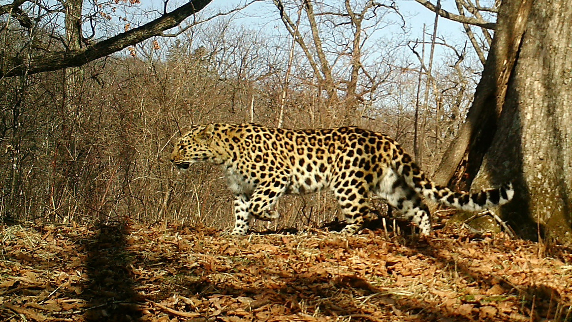
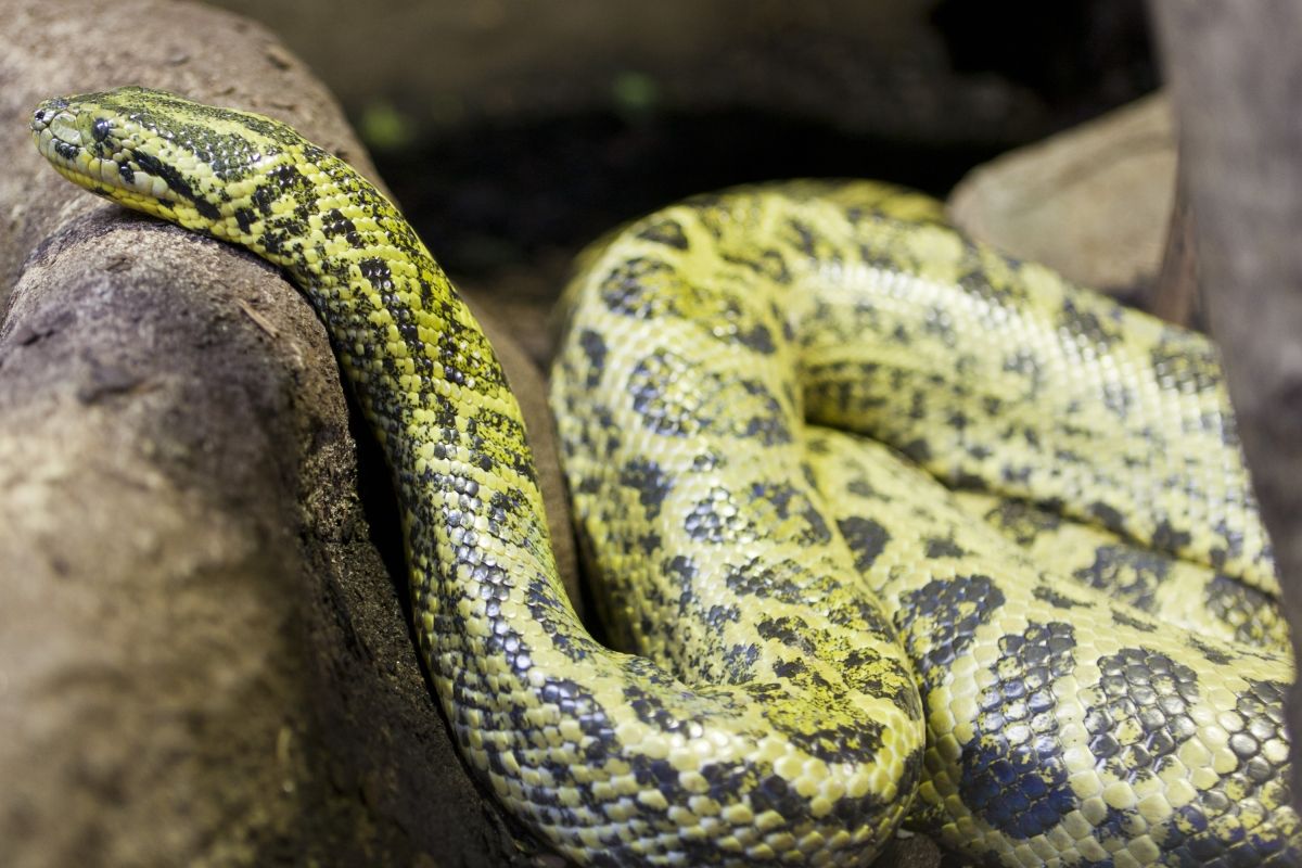
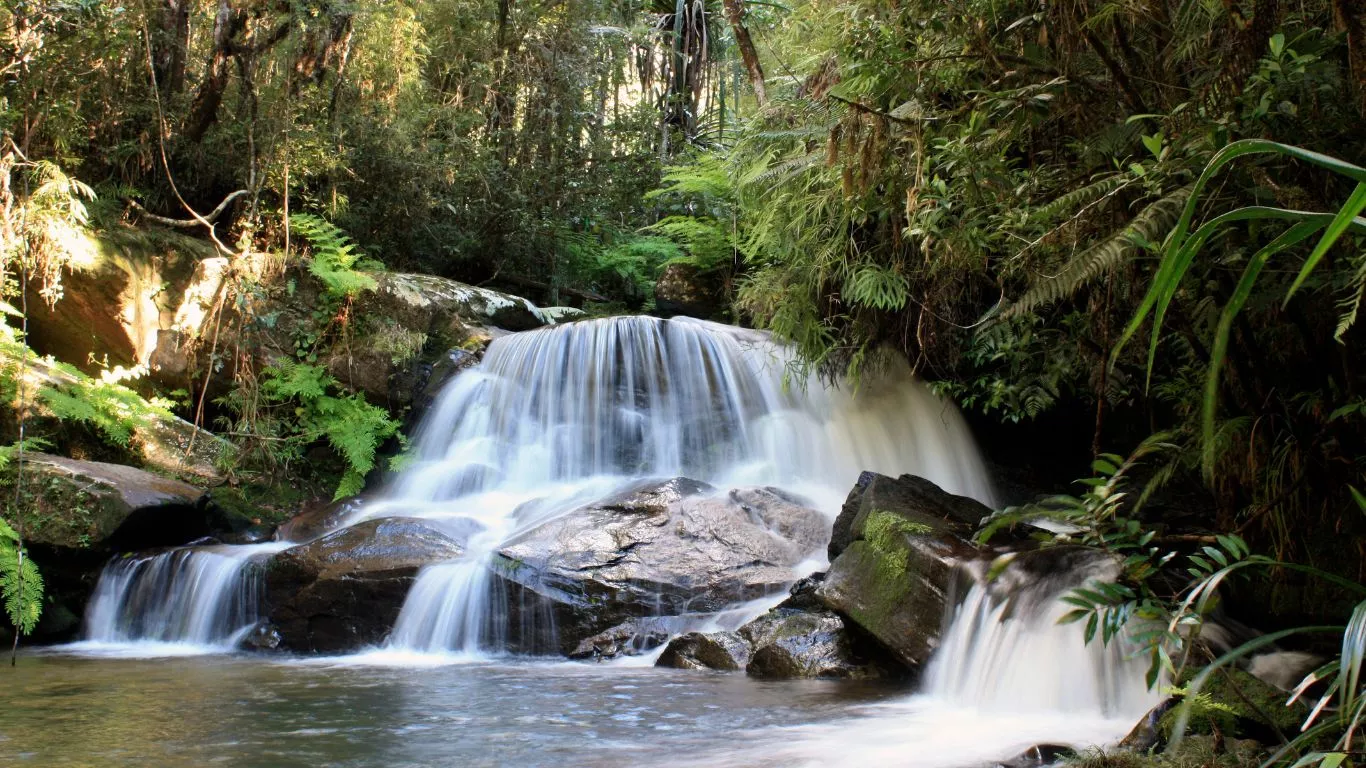
安达西贝-曼塔迪亚国家公园(Parc national d'Andasibe-Mantadia)是马达加斯加的国家公园,占地155平方公里,距离首都塔那那利佛约140公里,成立于1989年,海拔高度900米至1,250米,每年平均降雨量1,700毫米。
Der Nationalpark Andasibe-Mantadia (französisch: Parc national d’Andasibe-Mantadia) ist ein 1989 eröffneter Nationalpark in der Region Alaotra-Mangoro auf Madagaskar. Antananarivo, die Hauptstadt der Insel, befindet sich in einer Entfernung von rund 100 Kilometern im Westen. Der Nationalpark wird als Schutzgebiet der IUCN-Kategorie II geführt.


 Geography
 Arizona-AZ
