


 India
India


 Military, defense and equipment
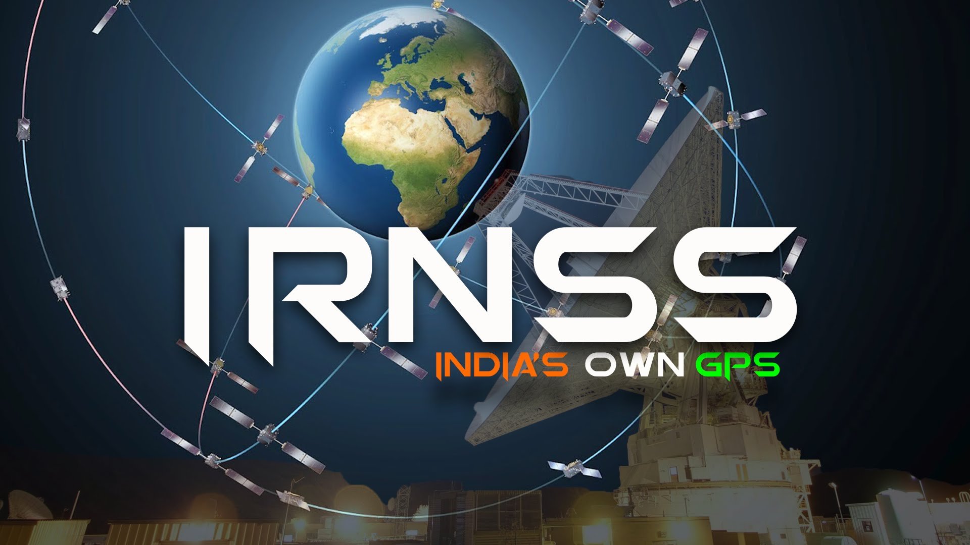
Navigation Satellite System
Military, defense and equipment
Military, defense and equipment
Navigation Satellite System
 Science and technology

印度区域导航卫星系统
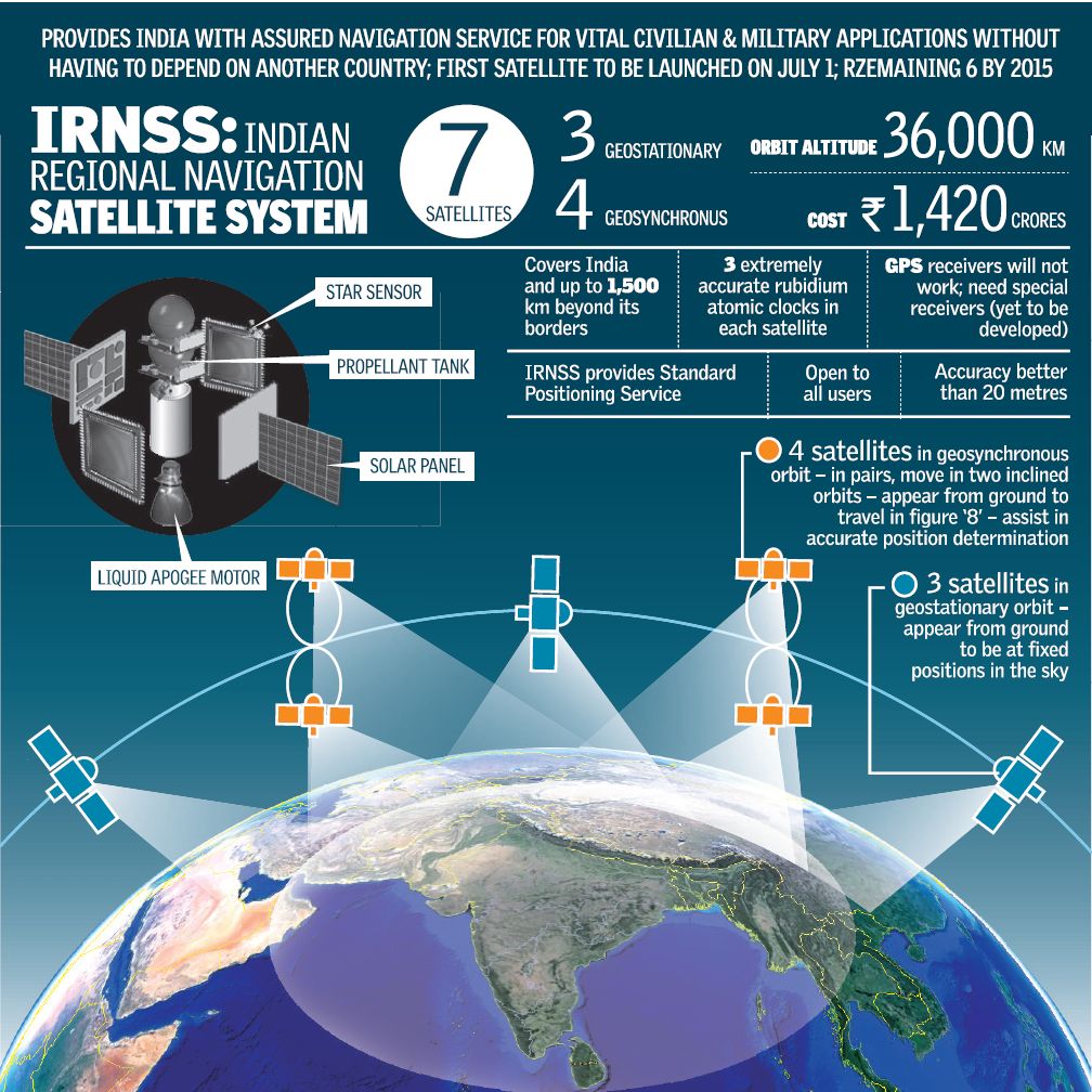
Indian Regional Navigation Satellite System (IRNSS, deutsch: Indisches regionales Satellitennavigationssystem), auch Navigation Indian Constellation (NAVIC), ist ein regionales indisches Satellitennavigationssystem. Im Gegensatz zu globalen Systemen wie dem US-amerikanischen GPS und dem europäischen Galileo-System ist das IRNSS nur für die Nutzung in Indien und angrenzenden Regionen ausgelegt. Es reicht bis ca. 1500 km über die geopolitischen Grenzen von Indien hinaus.
10 years ago
3 years ago