漢德百科全書 | 汉德百科全书

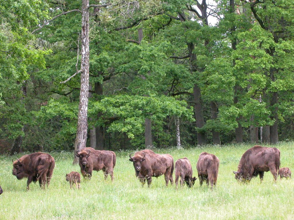
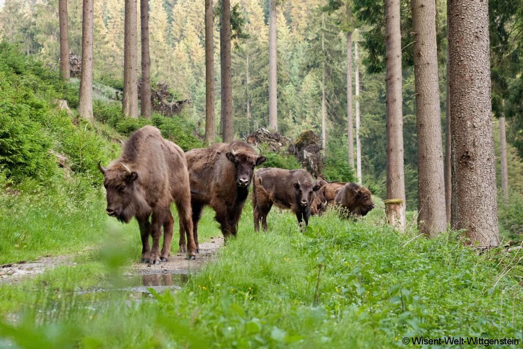
 Animal world

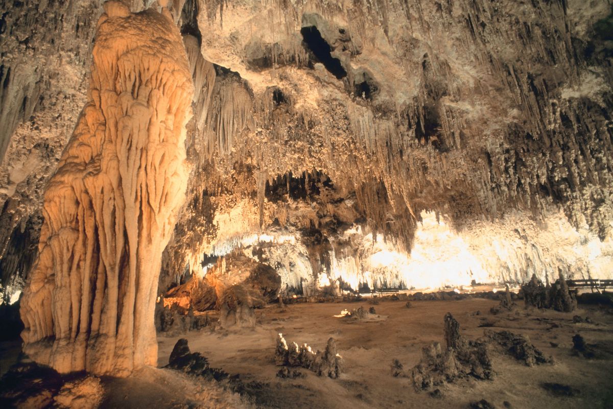
 Geography
 Cataluña

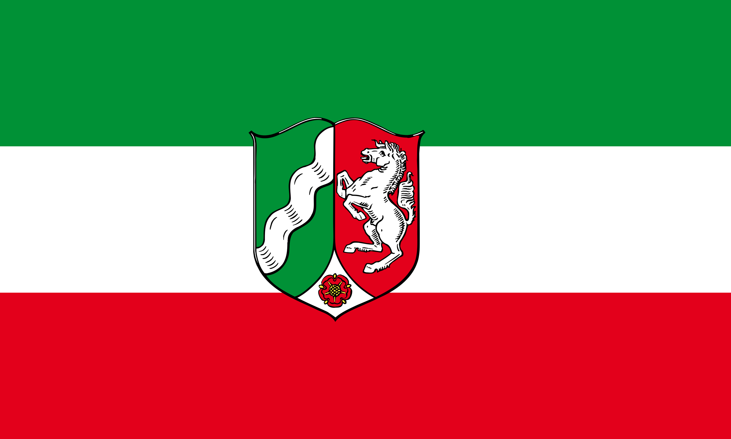 North Rhine-Westphalia

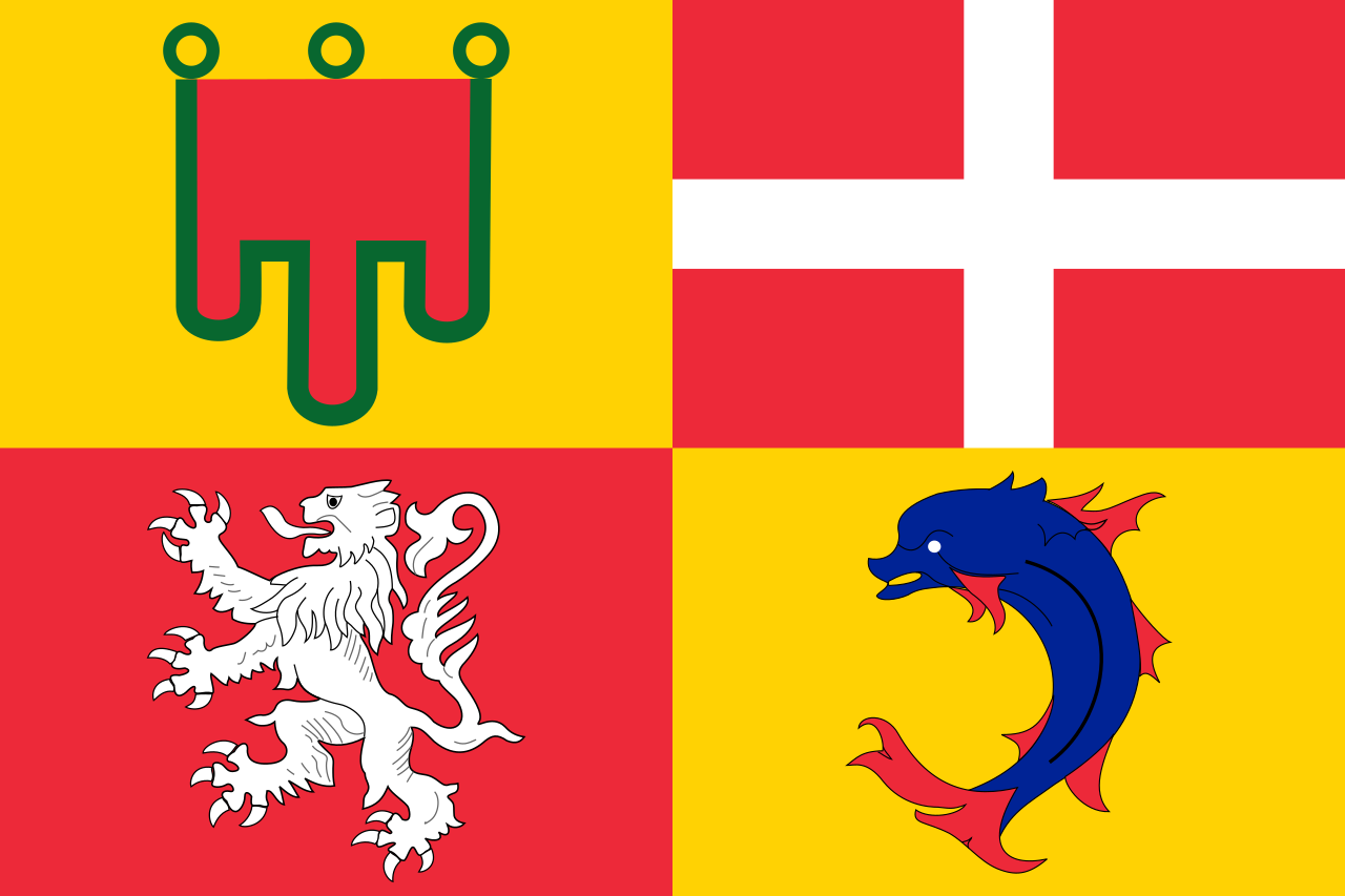 Auvergne-Rhône-Alpes

Der Nationalpark Écrins (französisch Parc national des Écrins) ist der fünfte französische Nationalpark, der besonders den Lebensraum im Hochgebirge schützen soll. Er liegt in den Dauphiné-Alpen zwischen den Städten Grenoble, Briançon und Gap. Sein Kernbereich liegt im Écrins-Massiv. Dort wurde bereits 1913 bei La Berarde ein Nationalpark gegründet, der aber nur kurz bestand. Erst 1973 wurde der Nationalpark Écrins auf Betreiben von Bergsteigern, Naturschutzverbänden und des Club Alpin Français offiziell gegründet. Der gesamte Park umfasst 1788 km² wobei die besonders geschützte Kernzone eine Fläche von 925 km² hat. Im Nationalpark Écrins wurden knapp 8000 verschiedene Pflanzen- und Tierarten beobachtet. Sie verteilen sich auf unterschiedliche Lebensräume, die von ca. 700 m Höhe bis 4102 m reichen.
埃克兰国家公园(法语:Parc national des Écrins),是法国的国家公园,位于法国东南部格勒诺布尔以南、加普以北的多菲内山,其最高峰巴尔德塞克兰峰高达4102米。该区域内包括众多山峰、冰川、河流、湖泊,以及阿尔卑斯山区的各类动物和植被,景色迷人,每年吸引来自各国的游客多达80万。

Der Nationalpark Aukštaitija ist ein Nationalpark im Nordosten Litauens in der seen- und waldreichen Region Oberlitauen. 1974 gegründet, ist er der älteste Nationalpark des Landes und geht auf ein seit 1960 bestehendes botanisch-zoologisches Schutzgebiet zurück. Zunächst hieß der Park „Nationalpark der Litauischen SSR“, 1991 erfolgte die Umbenennung in die heutige Form.
Die Fläche beträgt 40.574 ha,[1] wovon 15 % von Seen eingenommen werden.
Der Nationalpark ist von enormer Bedeutung für den Tourismus.
奥克施泰提亚国家公园是立陶宛的国家公园,位于该国东北部,处于首都维尔纽斯以北约100公里,始建于1974年,面积405平方公里,其中15%面积是湖泊。
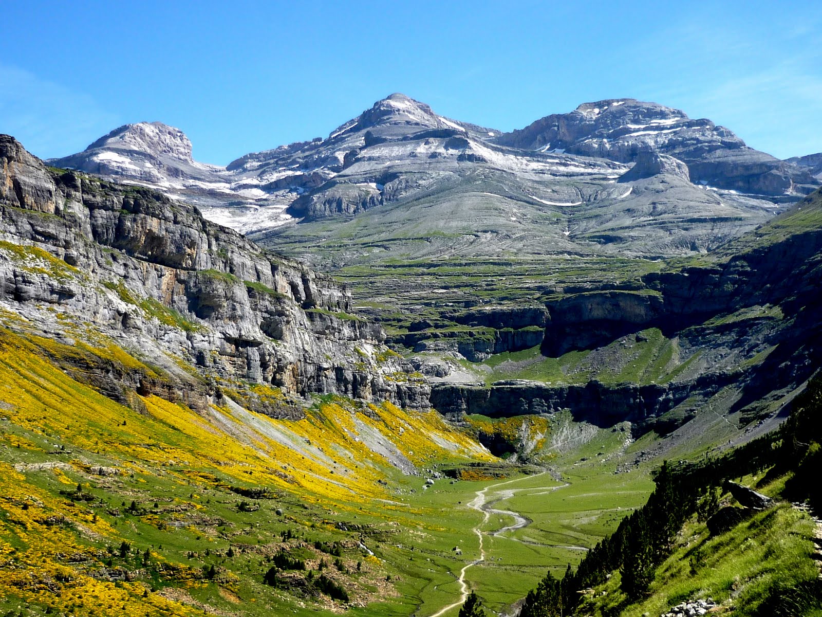
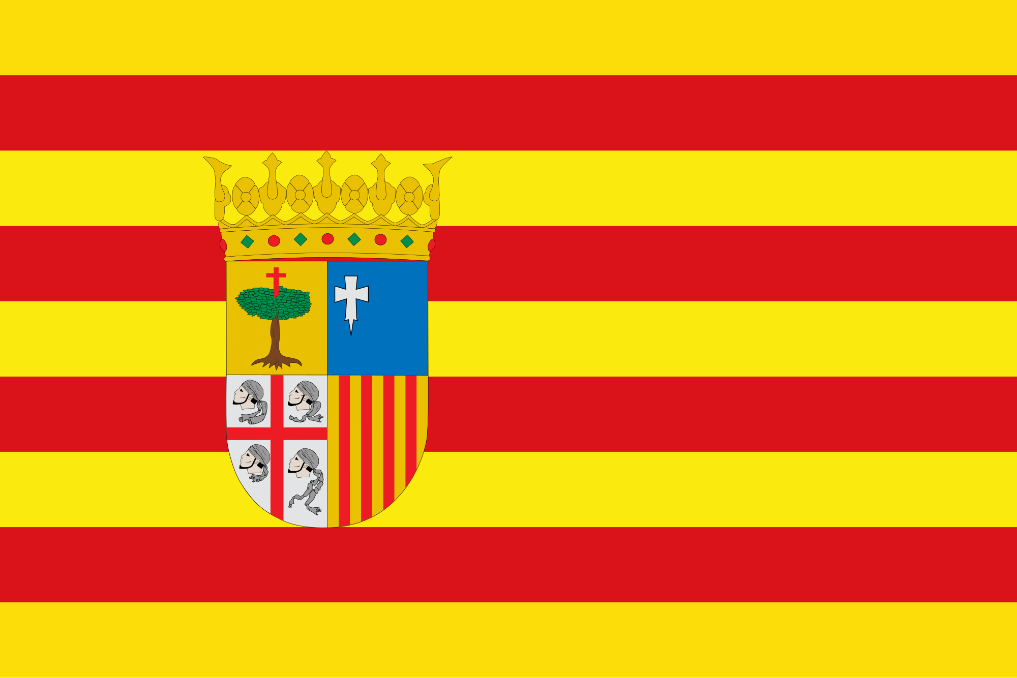 Aragón

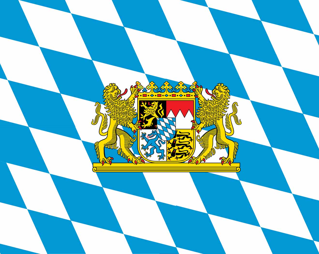 Bavaria
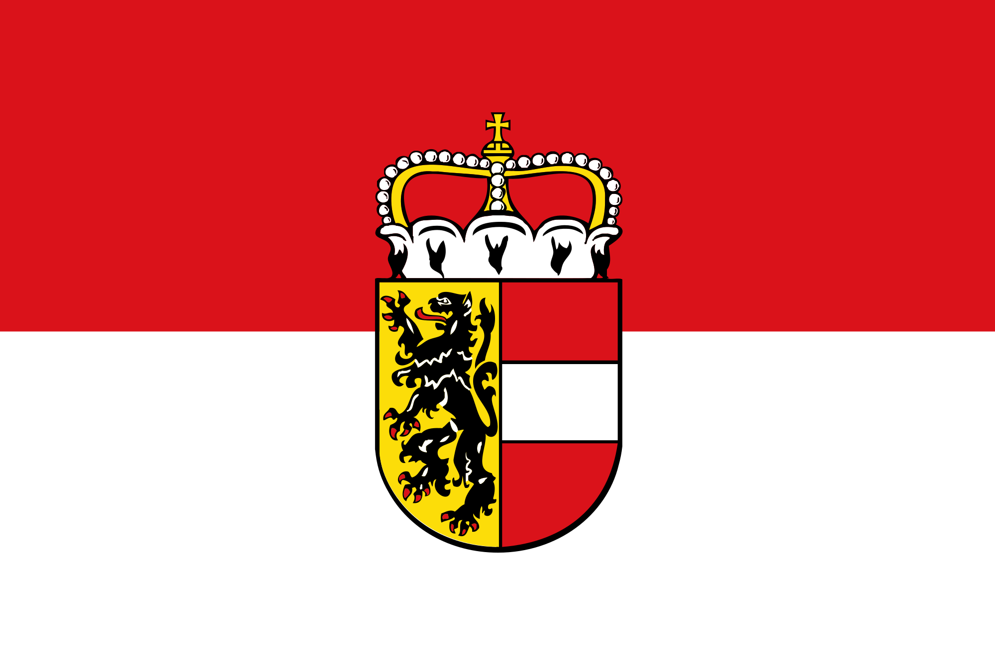 Salzburg


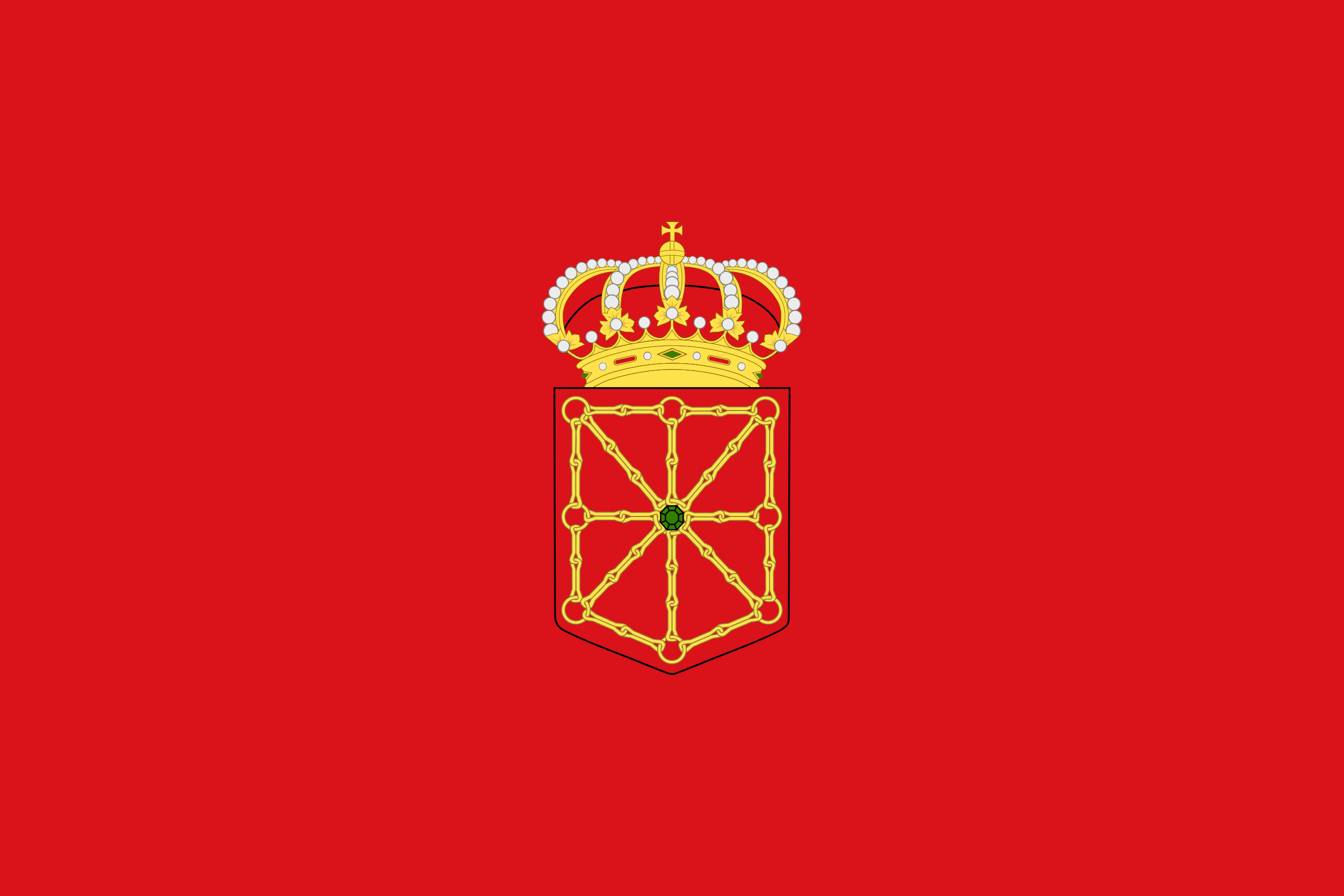 Foral Community of Navarra
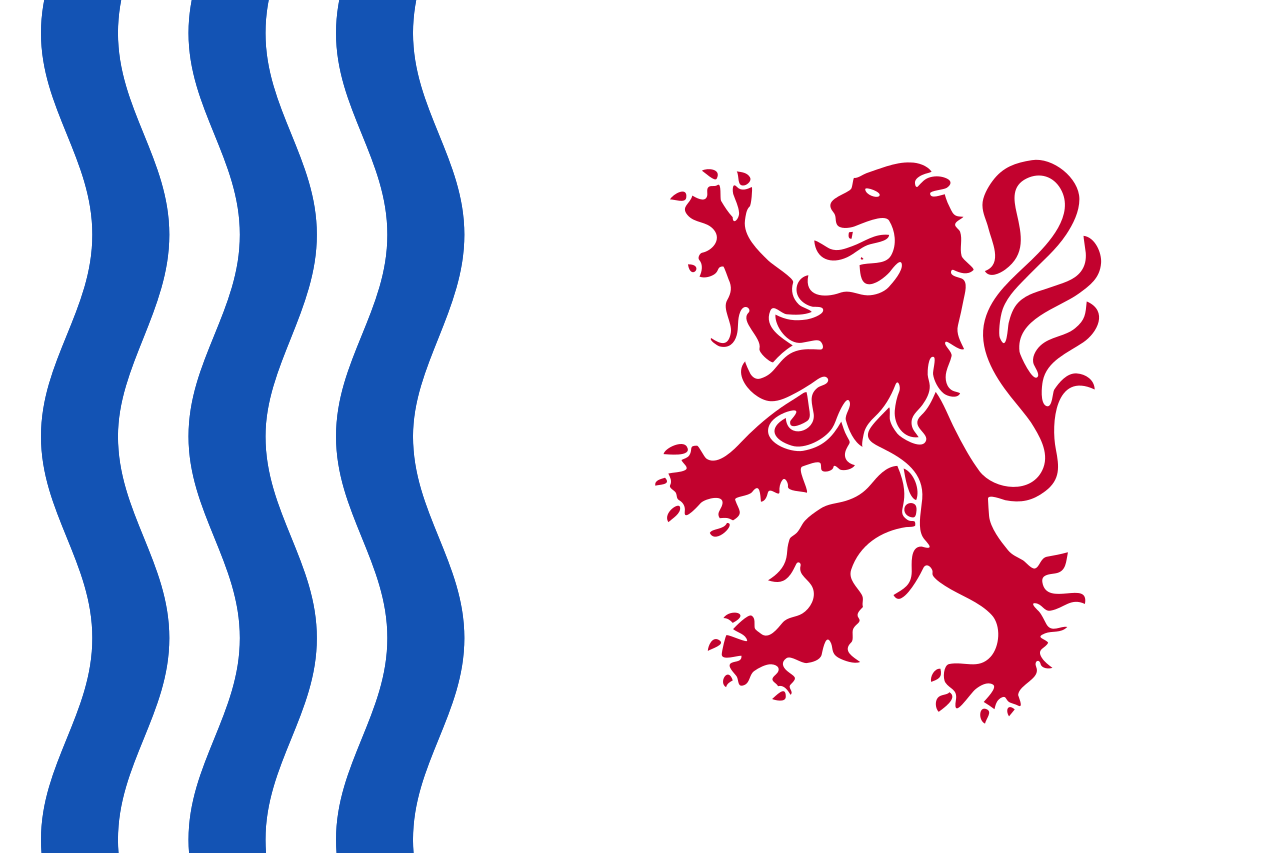 Nouvelle-Aquitaine
 Occitania